It is a little ironic to talk about how nice it was to feel the sun, when I got to California in the dead of winter, and the reality is that there were a lot of gloomy rainy days and flood advisories. But the more time I spent here, and the further south I got, the more sun I saw, which was extra appreciated after the winter I’d spent in the van in BC and the PNW.
California was the dream. Okay, Seattle was, and always is, the dream. But California was a also a dream. I think California is a dream for a lot of people. The Golden State.
I had a lot of doubts that I’d even get here. But with a little luck and a little will and a little reckless abandon, it happened.
Table of Contents
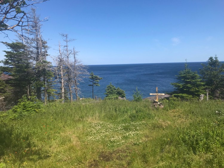
There is so much to see in California, from NorCal to SoCal, along the pacific coast, to the desert and mountain interior, big cities and small towns.
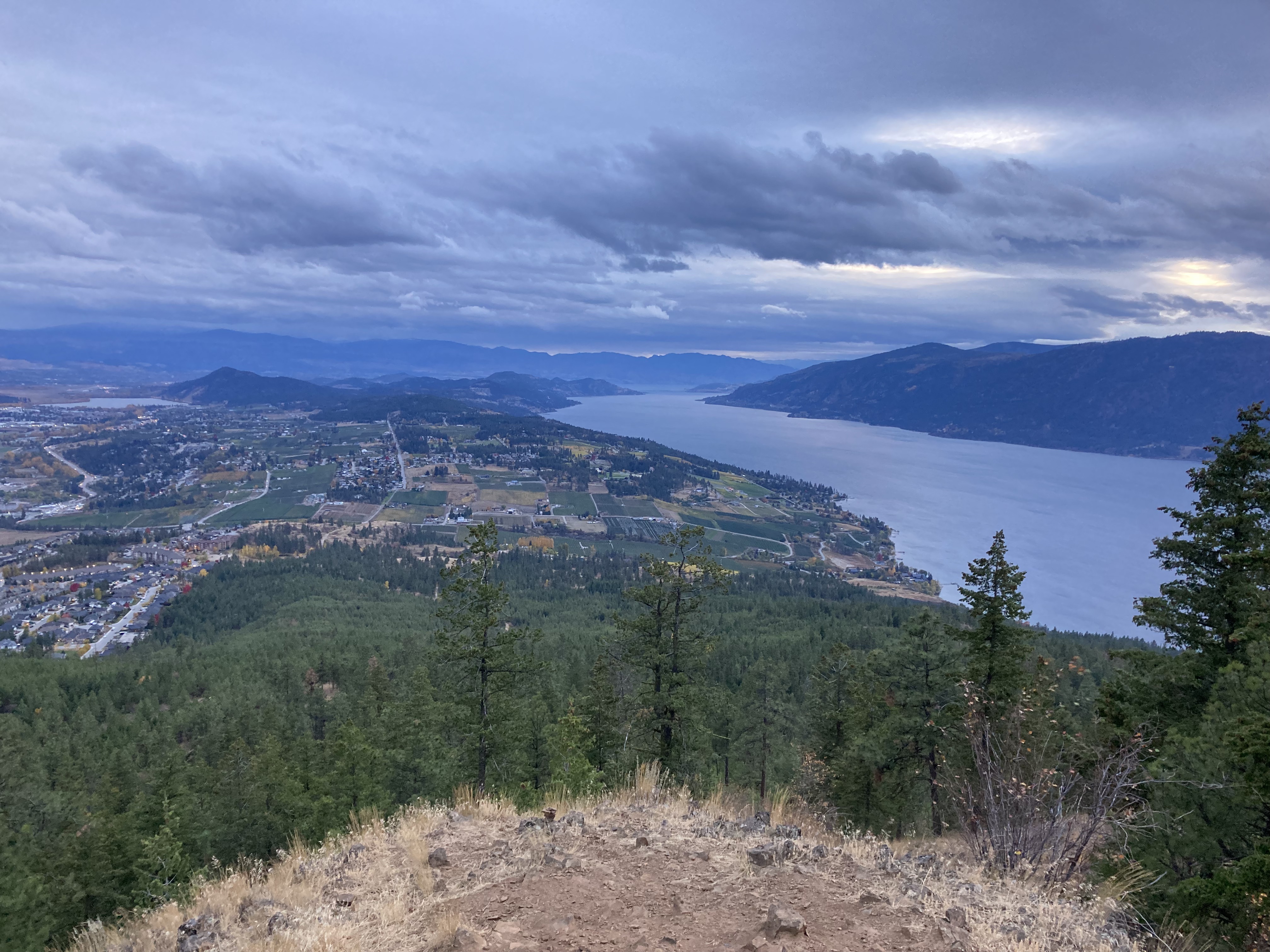
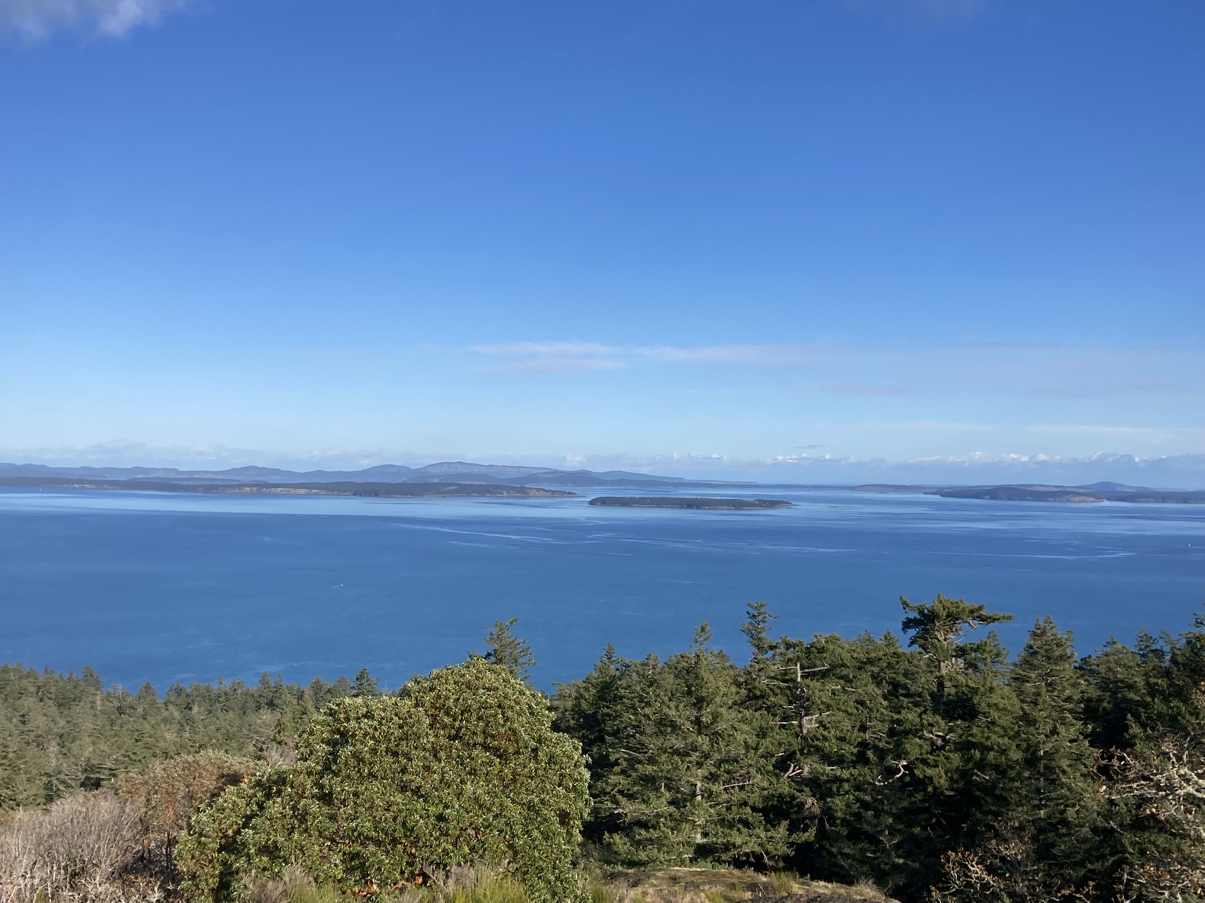
One of my favourite things was watching how the landscape and vegetation slowly shifted the further south I got.
California holds a special place in my heart now. I feel we got pretty well acquainted and it held me during some transformational times.
I originally tried to write about everything I did in California in one post. The length of that post became ridiculous. So I broke it up into two posts. I could have, and maybe should have, broken it up more. But I didn’t want to. These posts are documentation, references, storytelling. They are long, because I saw a lot. They have a wealth of information. I don’t expect anyone to read it all. The table of contents breaks it down for jumping to points of interest.
This post covers the transitional period after crossing into the states and then focuses on the northern and central coast of California. My next post will cover California’s southern coast and interior.
- Table of Contents
- Crossing The Border
- A Blurb On Washington & Oregon
- Northern California
- Central California Coast
- Other
Crossing The Border
I abhor crossing the border. I wish I had a thicker skin, but every time I am a ball of nerves.
This was the first time I’d ever been sent to secondary inspection. To be fair, while the first guy I engaged with was intimidating, the second guy was kind.
Living an alternative lifestyle can make crossing the border more difficult. I had recently heard about another vanlifer who’d prepared extensively for their trip south for the winter, only to be turned back at the border. You can do everything right, but if you work for yourself or don’t have a permanent residence (are nomadic), they might think you plan to stay in their country. They want to see ties to Canada so they can feel confident that you will return to Canada. And driving a white cargo van probably doesn’t do one many favours.
I sat in the secondary inspection area as they went through my van. They said there was nothing bad in my van (I thought, I know). And by some miracle they let me through.
It’s not lost on me that I’m a young white woman. And that when I am stressed I can go into fawn mode (as opposed to fight or flight) – which I find mortifying, as a recovering people pleaser, but perhaps it appeases those in power.
Maybe a bit of luck was also on my side.
As I write this, it’s 2026, and this was a few years ago. I don’t I’d even try to cross the border in my van at the moment. Not to mention the increase in National Park fees for non-residents.
Issues With Remote Work
One of the key takeaways from my border crossing was the CBP officer telling me that I could not do remote work while in the states. That was huge.
Of course I knew that I couldn’t work in the states. I knew that you needed a specific visa to work in the states. And I was there primarily for pleasure, not business. But I thought I could not be employed in the states, by a US employer. I did not think that it applied to a an Etsy Canada shop, which operated in Canadian funds, and would function the same whether I was in Canada or another country.
Essentially, I was told that I could not work, period. At the time I had a few people who’d made orders with me the week prior, while I was in Canada, and I was told I could not even fulfill those orders.
I was told that there were recently changed regulations, that I’d have to report income taxes to the US, and something about a $2,000 limit, so I didn’t know if there was an income threshold.
To be honest, I’m still not clear on this. You hear about people doing remote work all the time, travel is often why people do remote work, and remote work is often foundational to being able to travel. So my mind was a bit blown that remote work was off the table. And I did a bunch of research and called several people – I still did not get any definitive answers.
I figure I’ll have to go to an embassy one day to get answers – because it would certainly be helpful to be able to operate your own online business while travelling! I can see how it might be seen as a grey area though.
Some things that felt like pertinent considerations were:
- I was encouraged to talk to border control, an accountant, someone from Etsy, someone from an embassy, or even an immigration lawyer, for answers.
- What is a working vacation?
- My reason for visiting the US was not employment or business related – it was purely for pleasure. I was a tourist passing through, not looking to relocate. I had no intentions of doing meetings or in person sales. But the burden falls on me to prove on entry that I am not planning to do business.
- My Etsy shop venture was small, almost more like a hobby, I was not a registered business (I did not meet the requirements).
- US work visas seem to require being hired by a US employer and them sponsoring you. There are no visas for self-employment.
- I couldn’t identify which visa I was given (B1 is business travel & B2 is tourism/visitor travel ) when I crossed the border. While it’s probably obvious, they didn’t stamp my passport. But I found out that with the B1 Visa you can take orders, you just cannot deliver the goods.
- Was there a difference between whether a customer was American or Canadian?
- I remember thinking how a lot of the time people find my Etsy shop and make a purchase without me having any direct interaction with them. And the purchases I’d received around that time were mostly a result of a feature I’d had on a podcast – which aired while I was in Canada. Any work that I’d put in that resulted in those purchases had been done in Canada.
- Is responding to emails or sending messages considerd work? What a bout posting to social media?
It just felt confusing to me – I’m no legal pro, maybe I’m missing something. But I searched for answers and couldn’t get any clarity and that was really frustrating.
The Boring Stuff
Listen, I can be painfully detail-oriented. Feel free to skip this section. I’m just laying it all out to be thorough in documenting my experiences and creating a reference.
I do my fair share of prep. Here’s what info was on my prep list:
- In 2022 you were required to be fully vaccinated (boosters not included- just primary series) and show proof upon request/ verbally attest. Testing not required.
- Have passport.
- Demonstrate significant ties to home country, including proof of employment, residency, etc. (I had my sister’s upcoming wedding, a ferry booked back to Victoria, and belongings in storage in ON).
- Border Wait times.
- May be asked for an address in states where you are headed, proof that the trip is for a legitimate purpose and is of a reasonable length, proof of sufficient funds to cover your stay.
- Declare length of stay/ get authorization if want to extend. *An I-94 form is not necessarily required, but can check the I-94 website using “Get Most Recent I-94” to see if one was filed electronically and to see if there is an authorized stay/ departure date (not sure how the 6 months max for Canadians factors in).
- Don’t wear a hat or obstruct face.
- Doors unlocked.
- Van tidy
- Last time in the US?
- Food: No meat; know what you have on hand and any restrictions.
As of 2026 it looks like if Canadians plan to stay more than 30 days in the US they must register with the US government, and there are limits placed on entry of foreign nationals.
Adjusting
I find any time I cross a border, whether provincial, state, national, I need some time to adjust to being in a new place. Everything felt a little surreal at this point.
My immediate concerns were:
- A) How can I make sure I know my rights and am operating within them during my time in the states?
- B) How do I operate without a credit card (since I’d lost mine the day before)?
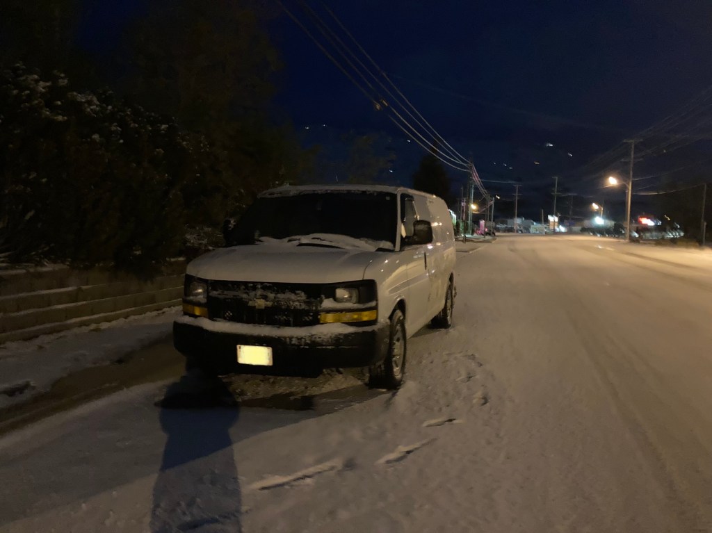
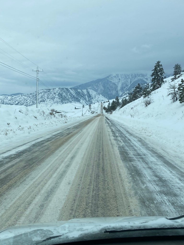
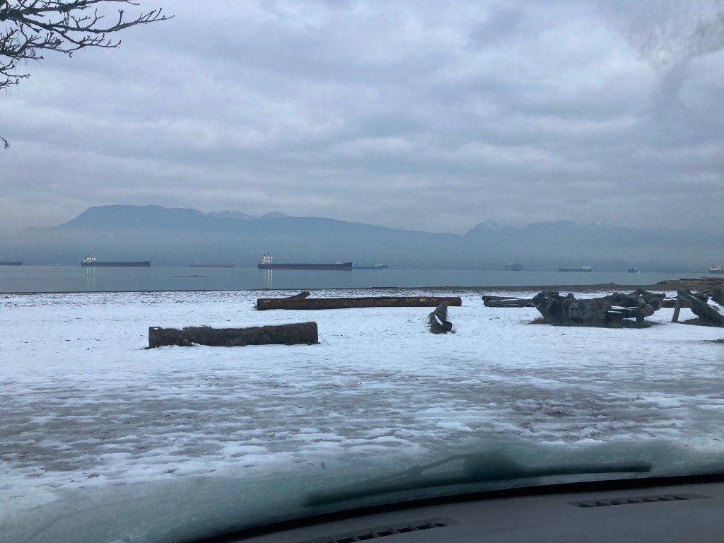
- C) There was a cold front coming through promising -11 degrees C and snow.
Any plans I’d had for my time in the states sort of lost form with the uncertainty I felt about whether they could go ahead. I tended to the most pressing issues in front of me. And part of that meant simply driving south to get away from the wintry conditions.
Not having a physical credit card certainly presented some challenges, but somehow after cancelling the last card, the updated card information automatically appeared in my Apple Wallet and I was able to use my phone to pay in some cases. I wouldn’t get a card again until I was back in Canada (due to moving around and my bank not having the same chains in the states as it does in Canada).
Then there’s just adjusting to everything being different (for example Walmarts checking your receipts as you exit the store) and being out of your element. The road requires constant adjustment!
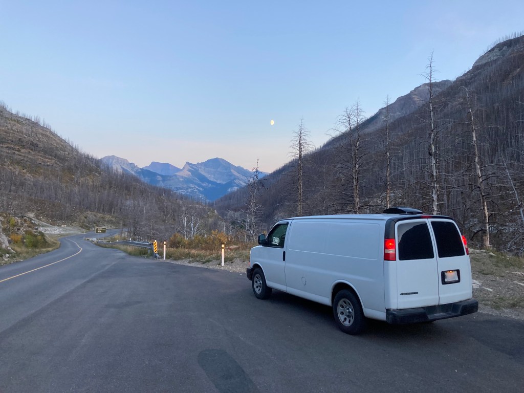
A Blurb On Washington & Oregon
I’m going to talk more at length on my time southbound through Washington and Oregon in their respective posts, but I do want to touch briefly on this part of my travels and getting to California.
I truly bee-lined it south through Washington, shedding a tear as I bypassed Seattle. It should tell you how much of a priority escaping the winter conditions was if I was willing to delay Seattle – one of my favourite places in the world. I remember viscerally driving at night with the space needle in view and No Excuses by Alice In Chains playing on the radio.
Also the fact that I woke up to snow in the van after my first night in the states propelled me.
Just getting to Oregon made a big difference in temperature.
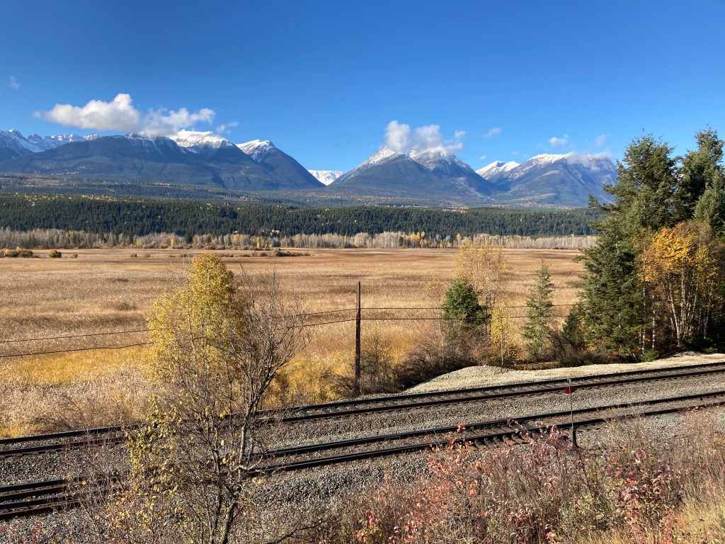
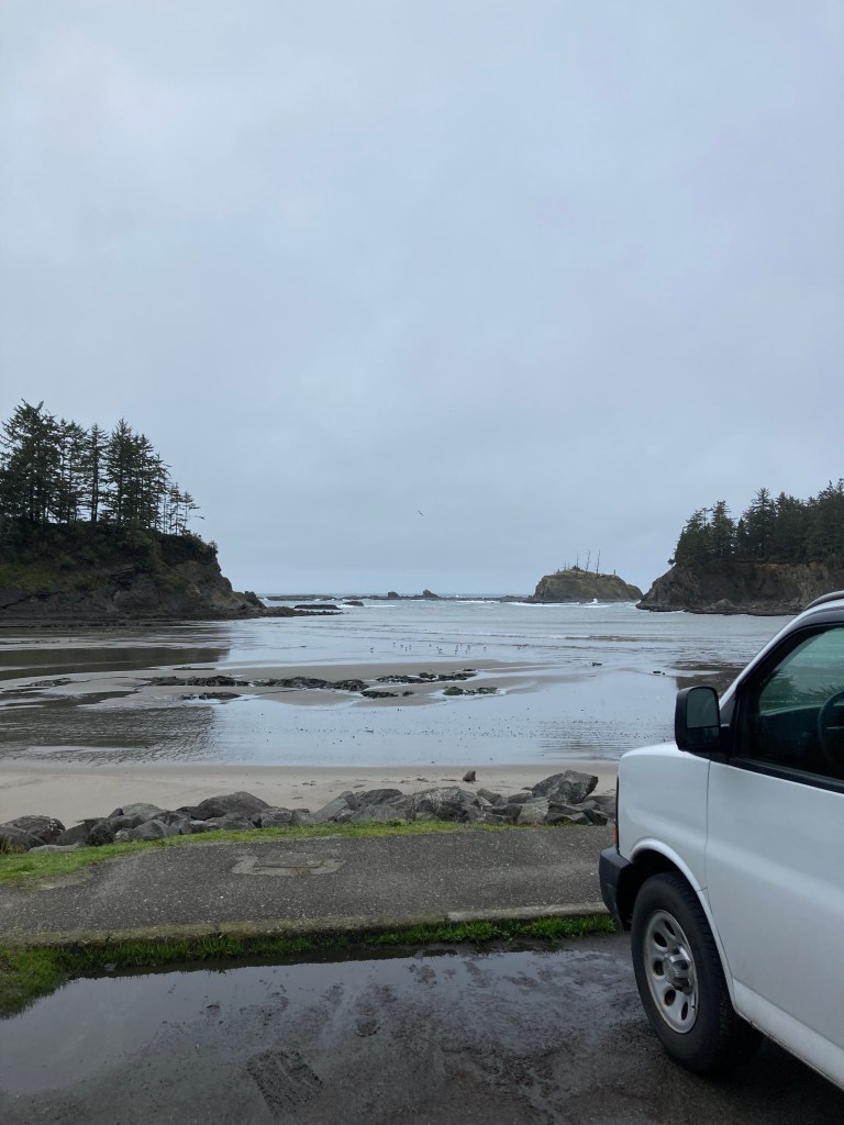
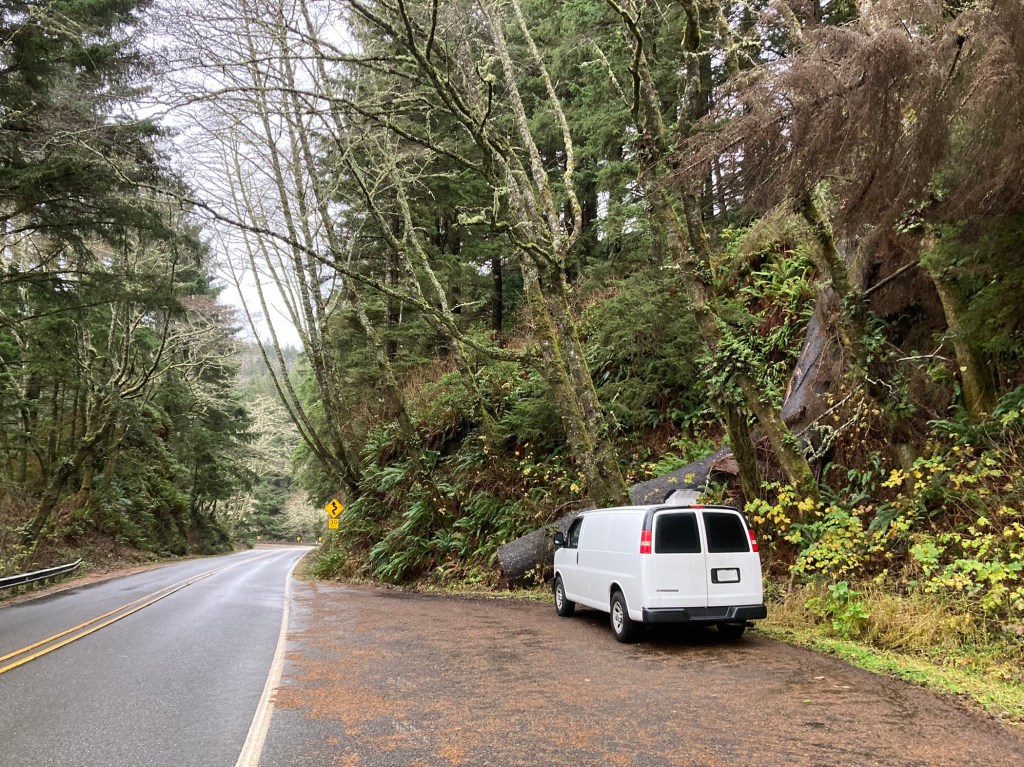
Oregon was a bit more eventful as I explored the rainy wintry Oregon Coast and had an issue with the van crop up, again. I had to visit a mechanic in Eugene for another hefty repair (on the plus side – Oregon has no sales tax).
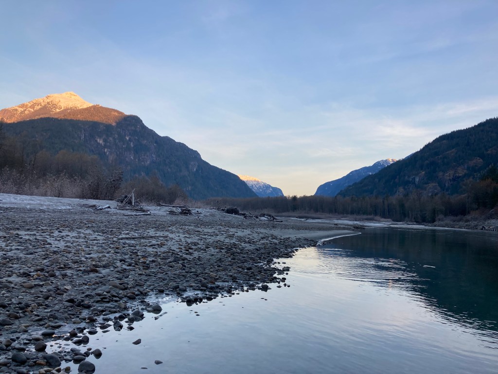
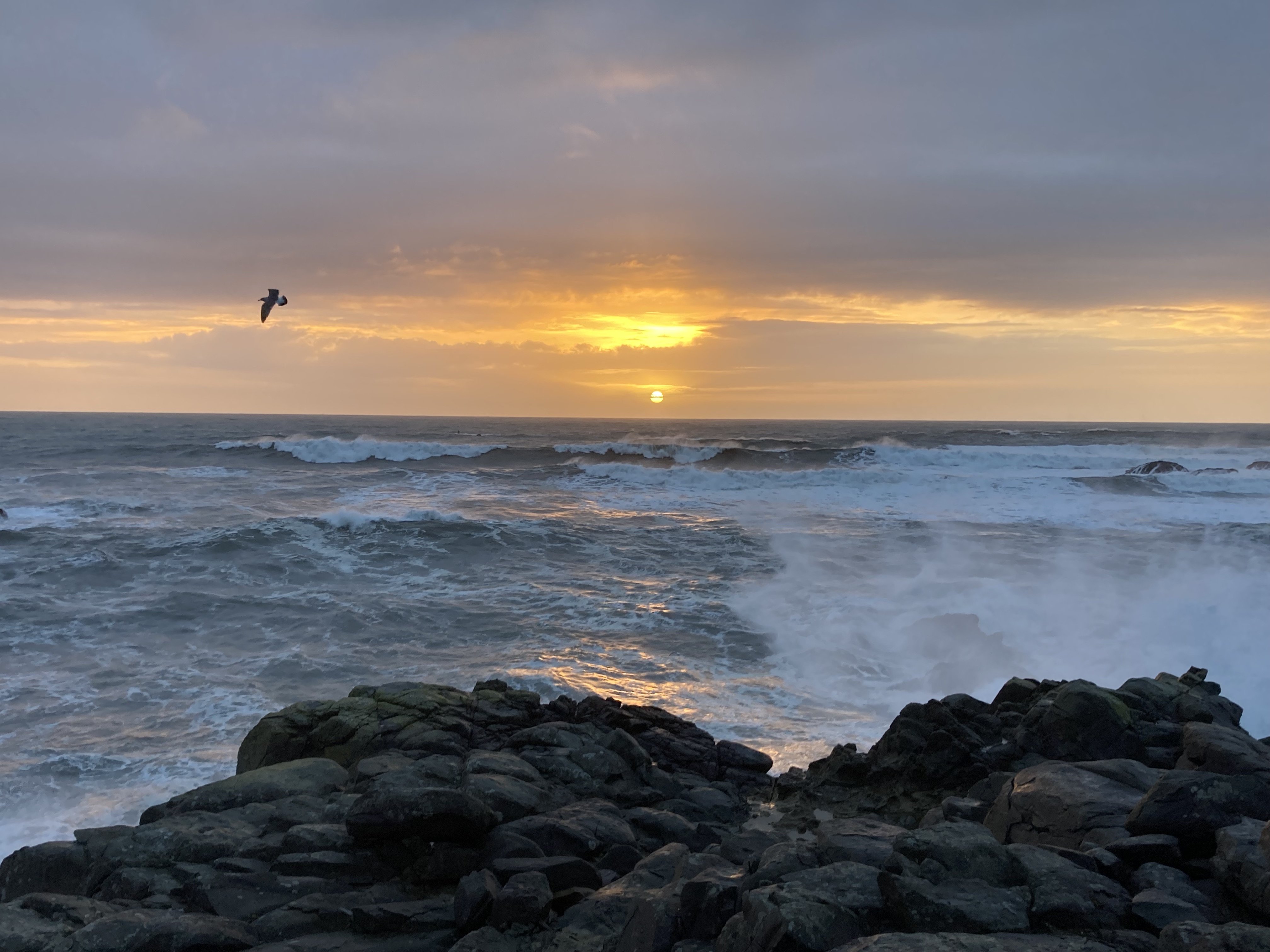
From the Pacific Coast in BC to the Oregon Coast, it felt like I hadn’t seen sun for a solid month. And I wouldn’t until a small town in Northern California.

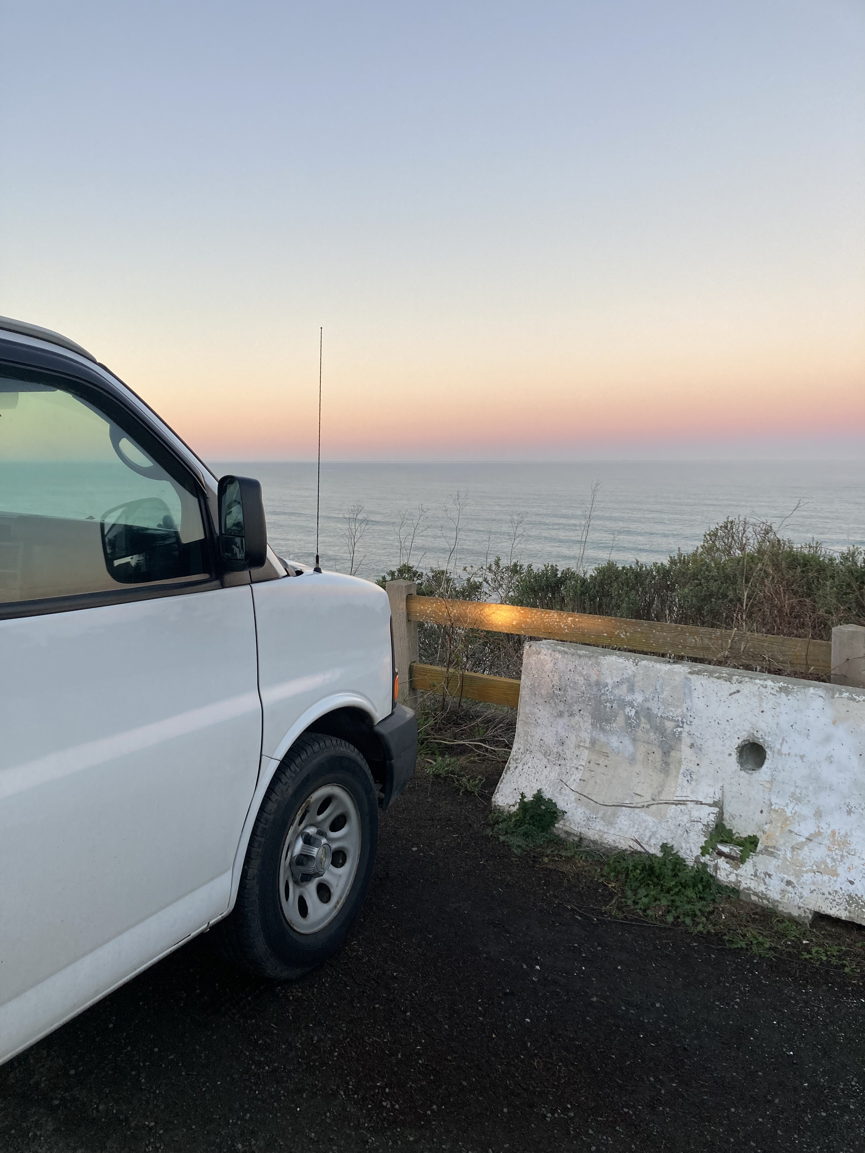
I think my time between Canada and California was very liminal. I was getting used to being in a new country and I was trying to decide on a plan. I was stressed by the cold, the van repair, the border crossing, and the unknown. But I think things started to take a turn when I got to the Golden State.
Northern California
Crossing into California from Oregon there was a border checkpoint. They asked if I had plants or produce before crossing state lines.
Getting to California was surreal. Because I’d had my doubts about whether I’d get here at all. And I had been dreaming about this road trip for years. It was the trip I had in mind while building out my van. And while I’d never made any hard plans, and the border and a multitude of other factors had me discouraged – here I was. This was it.
I have a habit of not getting excited for things until they’re happening. Like they don’t feel real until they’re happening. But I think it’s also a bit of a self-defense thing, protecting myself from disappointment in case something goes wrong. I had plenty of reasons to believe I wouldn’t get here. Even when I crossed into California I was telling myself I just wanted to get a taste before turning around. But looking back now, as I type this, knowing that I did it all – it’s just this big experience that I’ll hold onto for the rest of my life.
There was still lots of rain. But I could feel the vibe shift. It shouldn’t feel that different, the landscape doesn’t shift abruptly. But I felt like I’d “made it”. And I was glad to have self-serve gas stations again (Oregon had attendants pump your gas). Although I wouldn’t be a fan of the gas prices the farther south I got.
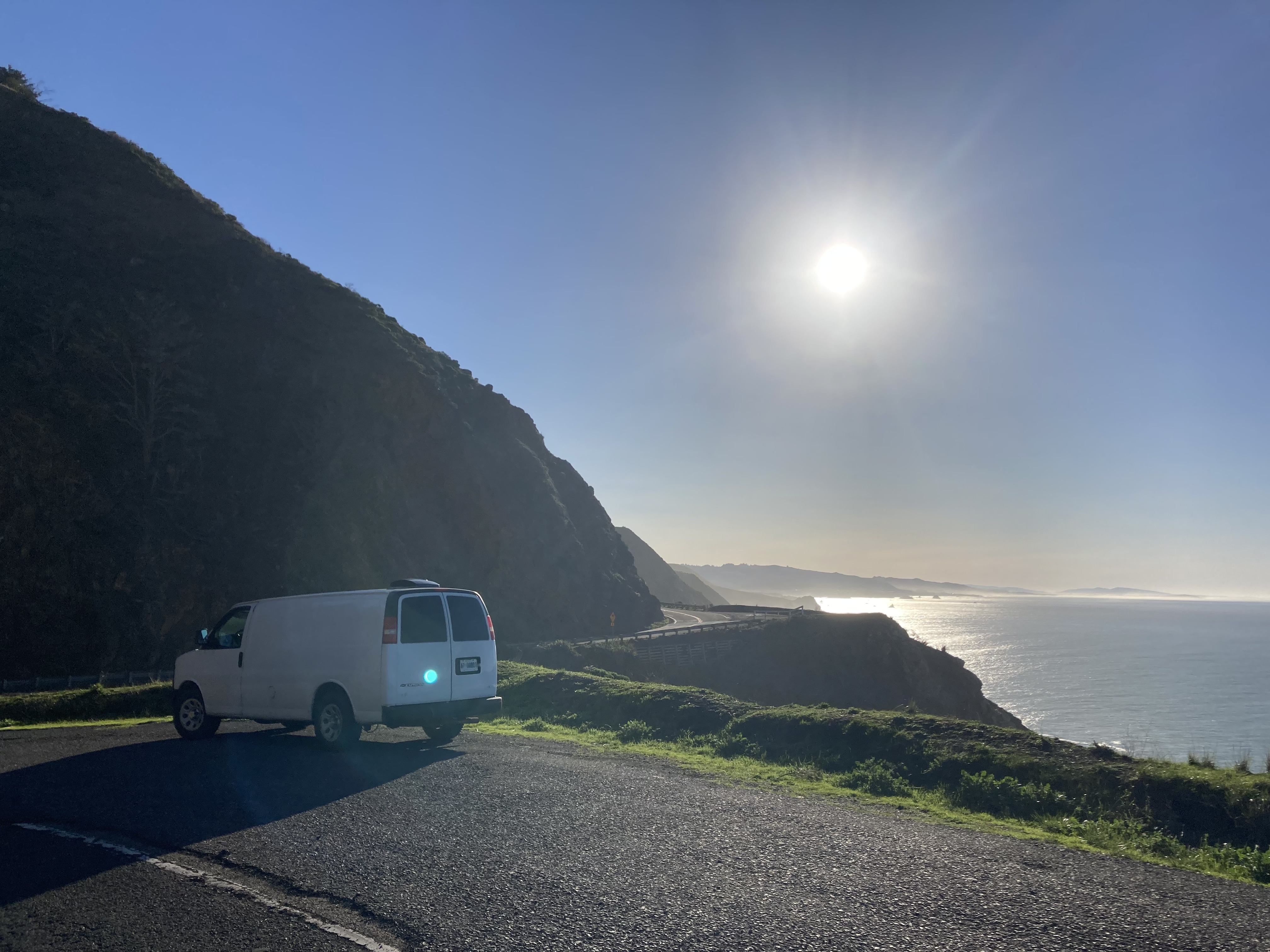
My home for the next while would be Highways 1 & 101. Don’t get me started on the iconic nature of being on this particular road – I was counting down till I could play songs like Pacific Coast Highway and Malibu by Hole. Pinch me! I’d been here before, on a stretch of highway near San Francisco – but I was young then and hadn’t appreciated it fully.
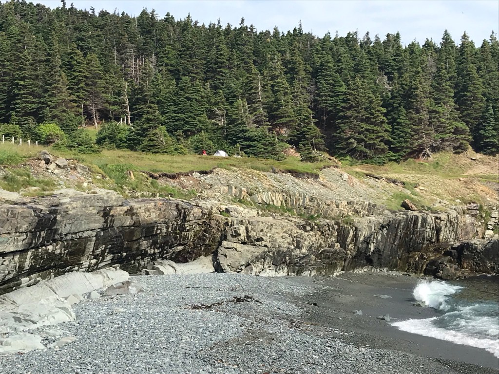
Crescent City
Crescent City has a population of around 7,000 and is home to the Redwood National Park headquarters. It has lots of fishing, is susceptible to tsunamis, and is home to Pelican Bay State Prison (of which I was not aware at the time, but I never felt sketched out too much here).
I remember the night I arrived in Crescent City. There were red flares lining the road, creating an eerie glow in the dark of night and smokey conditions as I passed through dense forest. I’m not sure what had happened but there were officials directing traffic.
I probably chose Crescent City as it was the first major coastal city in the upper corner of the state.
I headed to the Crescent City Walmart to lay my head for the night. It’s unfortunate, arriving in a new place at night, because you can’t take it in as you arrive and have to wait till morning to feast your eyes on your surroundings. This is one reason why I avoid nighttime driving, other than for safety reasons. I would rather get to see the sights.
Technically, you weren’t allowed to park overnight at the Crescent City Walmart, but I called them and was told it was fine if just overnight and you keep it clean. If you stay more than 24 hours they issue a warning.
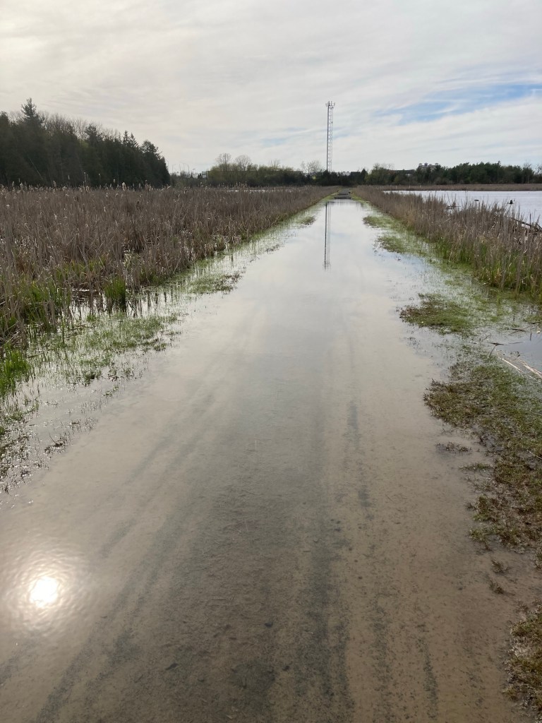
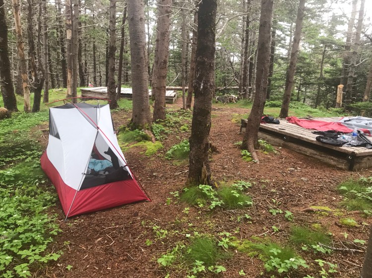
I tried to find a campground in the area, but as would become a pattern, I found that many campgrounds were closed due to coastal flooding advisories, high rain and strong winds forecasted – a winter thing.
If memory serves, I stayed a few nights at the Walmart, leaving during the day to do travel research and explore the area.
I also came down with a cold while here. That was unpleasant. I had some home tests for Covid – they came back negative. So at least there was that. I suppose it was impressive that this was my first time getting sick after a couple of months travelling in the van through wintry conditions. Perhaps this is why I spent a few days in this small town – moving at a slow pace and giving myself time to recover.
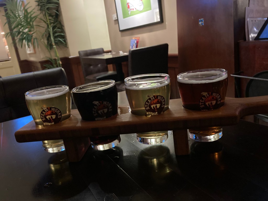
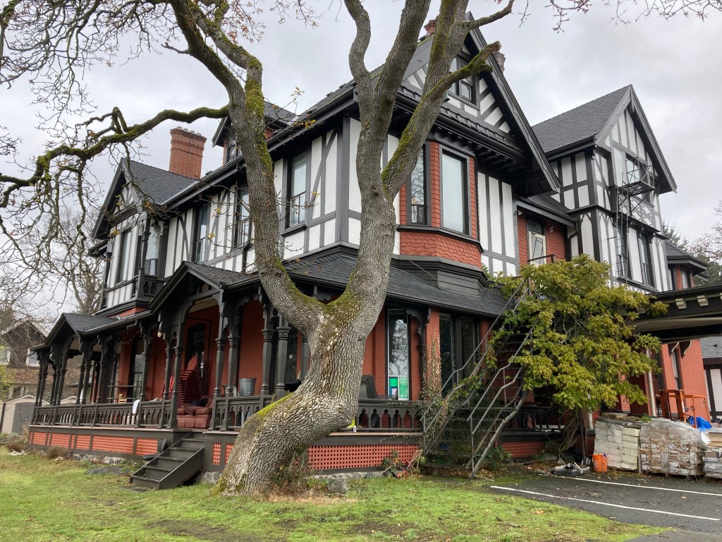
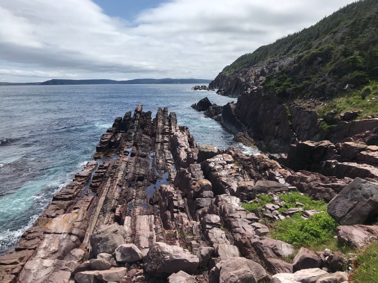
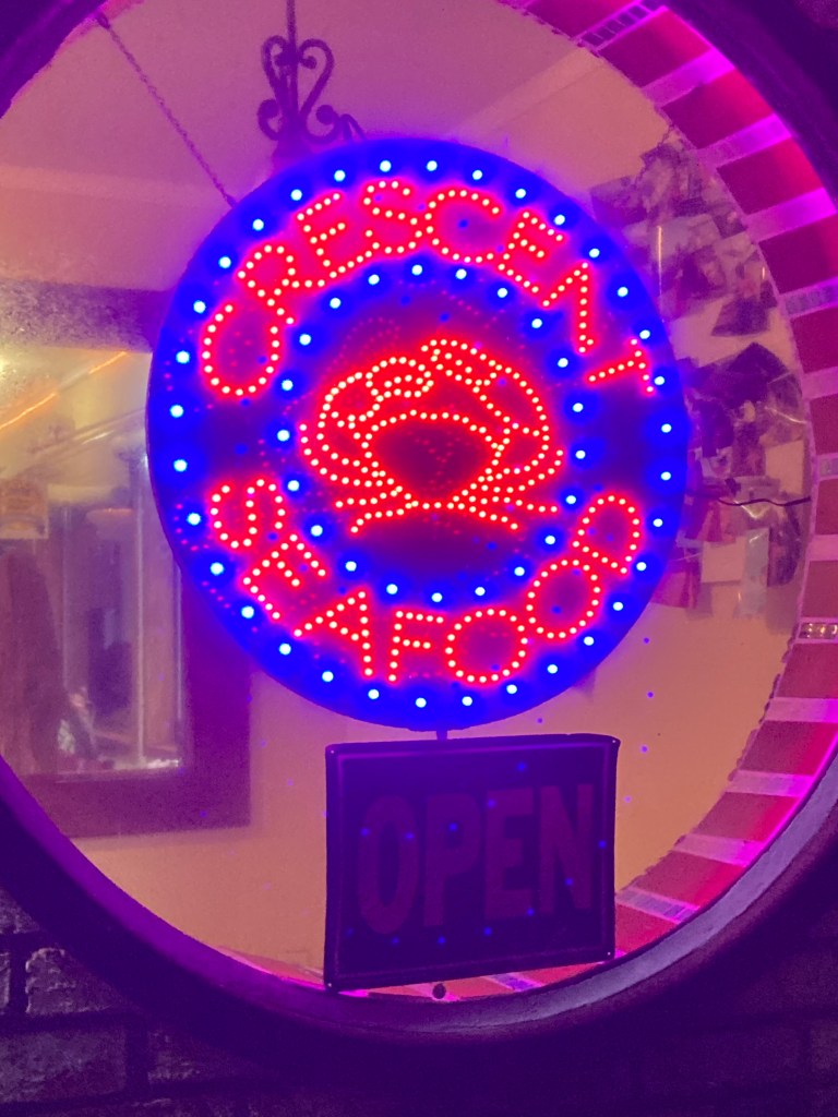
After doing my research, I set out to explore. I visited Castle Rock National Wildlife Refuge (island off the coast, can park across from it) and Crescent Seafood (I had the crab melt, and could hear sea lions calling out from a nearby wharf). I walked by the Anna Wulf House on the corner of J & 6th (a stately Victorian-style home built in 1896, now a bed & breakfast) and went to the Battery Point Lighthouse (at the end of A St., you can explore tide pools at low tide and watch the sunset from here). I also did a historic walk through the downtown (murals, memorials), and picked up some beer at Sea Quake Brewing (they mostly had IPAs, I liked the blonde ale).
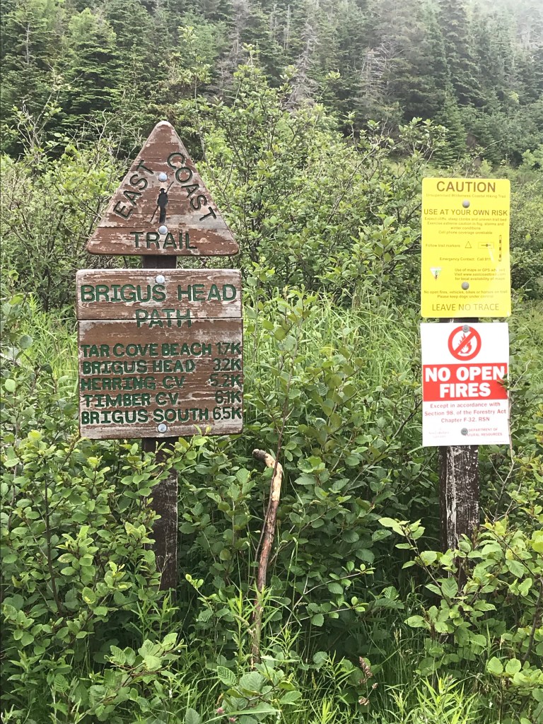
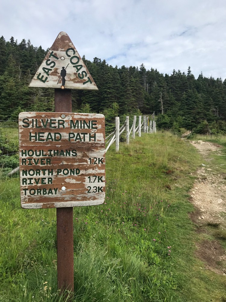
If I’m ever in the area again I might try Port O’Pints Brewing, North Coast Marine Mammal Centre (rehab), or Damnation Creek Trail – part of the California Coastal Trail (CCT) – a redwood grove & rocky cove overlooking the Pacific.
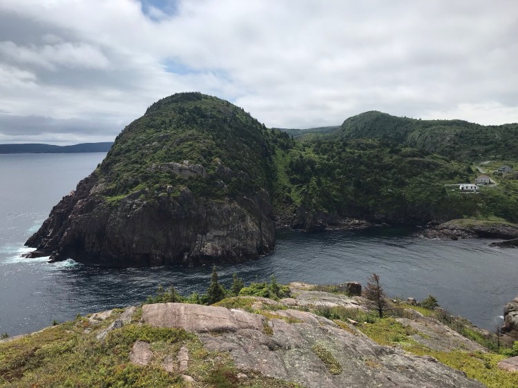
A Scary Encounter
On my final morning in Crescent City, I was organizing the van in preparation to hit the road. I already had my purse in the front passenger seat and was grabbing something from the back cargo bay when I heard banging on the front passenger side window. I looked out the tinted side windows from the back to see a homeless man banging on the van, peering in, and yelling. Luckily, my curtains between the front cab and cargo bay were drawn, so he couldn’t see me. But I’m sure he knew I was there since my purse was visible. I had half a mind to quickly get into the driver’s seat and drive away. But I feared he might do something erratic. So I stayed put and hoped he would just go away. This was the Walmart parking lot – there were lots of cars around. There were other vans and RVs parked nearby. I think my phone was up front, too, so I couldn’t have called authorities without revealing myself. I just remained frozen. And he did walk away – several times – but would turn around and come back. It must have been about ten minutes before he left for good and I high-tailed it out of there. It could have been worse, but it was certainly jarring.
Eureka
About 1.5hrs south of Crescent City I made a stop at a mall in Eureka. I really just passed through Eureka, but this pit stop was enough to give me the impression that Eureka is sketchy. And when I googled the crime rates – they backed me up. I’d hate to write a place off, I’m sure it has redeeming qualities. But that impression is all I’ve got to remember it by at the moment.
Based on some light research, Eureka is the largest coastal city between San Francisco and Portland, OR (26,000-27,000 people). It is known for Victorian houses in its Old Town district as well as its location on the coast and among the redwoods. It seems to be rundown due to declining economic conditions over the last many decades, has a high homeless population, and has a history as a sundown town.
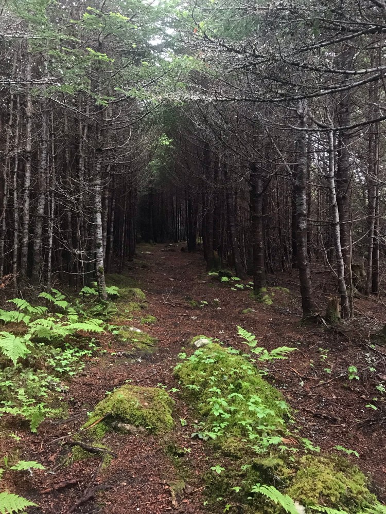
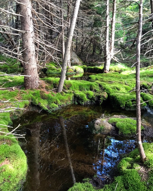
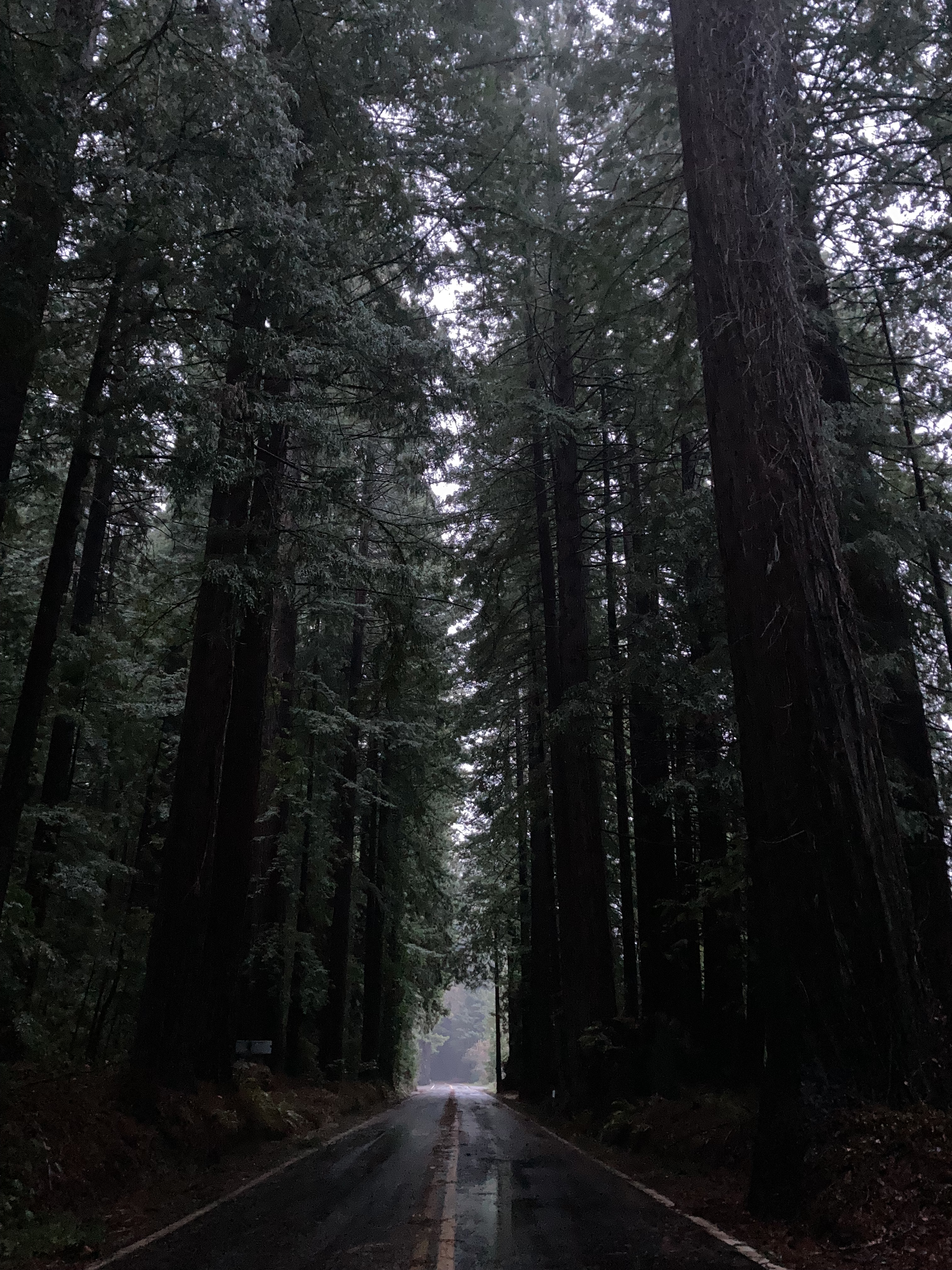
Redwoods
I took the 101 south and about 40 minutes out from Eureka ended up at a “vista point” (little turnouts or parking areas just off the highways, sometimes with a view) that allowed stays up to 8 hours. It was a moody night. I watched clouds quickly drift across the moon, above the silhouette of evergreen trees. I had the area to myself, hidden from view of the highway.
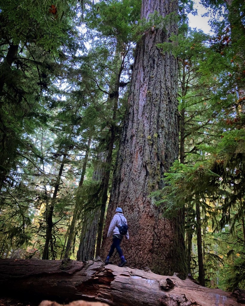
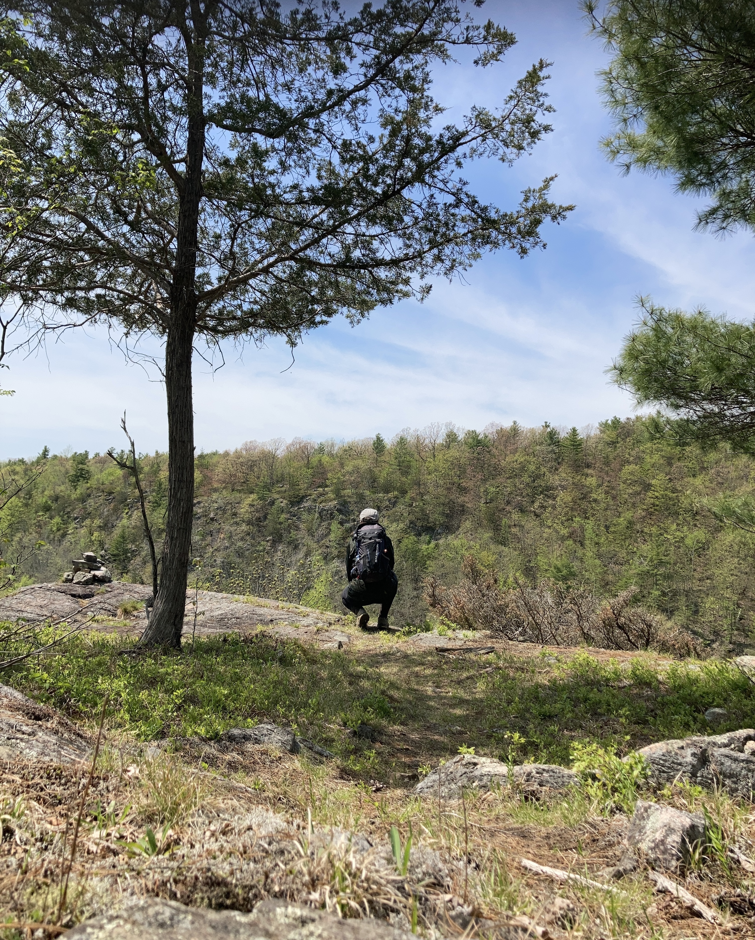
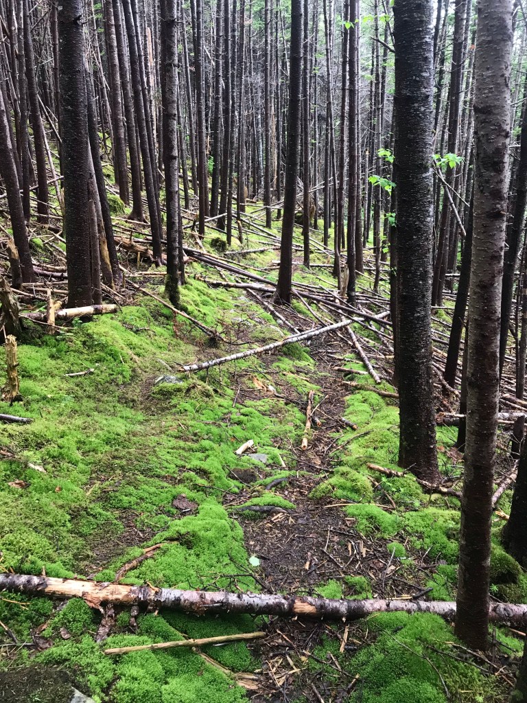
The next morning I found myself to be close to Humboldt Redwoods State Park and decided to go for a hike, as I had not gotten to see the redwoods up close yet.
Ukiah
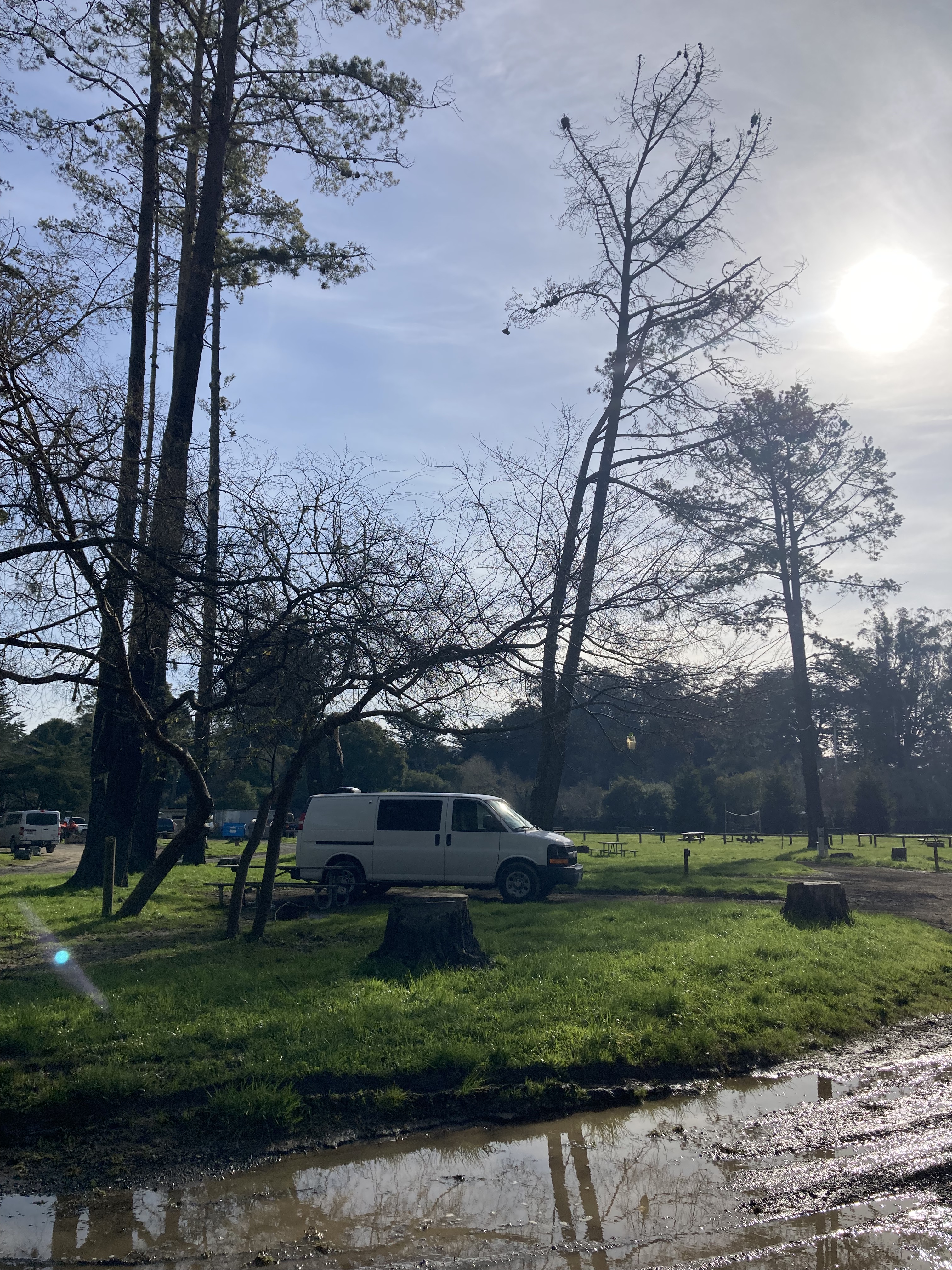
It was proving difficult to find a campground on the coast. There was no shortage of campgrounds in Northern California, it was just that so many of them were closed because of the flood warnings. I finally settled on one a 2 hour drive south of where I was, diverging more inland where the highway split into the 1 (coastal) and 101 (a little more inland) in Ukiah.
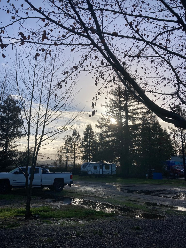
I liked to stay at a campground every once in a while because they were convenient for having laundry, showers, comfort stations, and just the comfort of knowing where you’re spending the night, alongside others doing the same. No last minute scurry to find a spot and no worries about being asked to move.
I took refuge at the Redwood Empire Fairgrounds, just 100 miles north of San Francisco (!). I wondered if the grounds would have flooding, but it ended up being fine. And I got a bunch or my chores accomplished.
It’s towns like this that are unforeseen stops along the way, in places you never would have otherwise heard of, and might not have paid much attention to, that can be just what you need to rest your weary traveller’s head.
Apparently Ukiah is part of Northern California’s wine country. They have a population around 16,000, are the largest city in Mendocino County, are near the redwoods, and are know for Pomo Indian heritage.
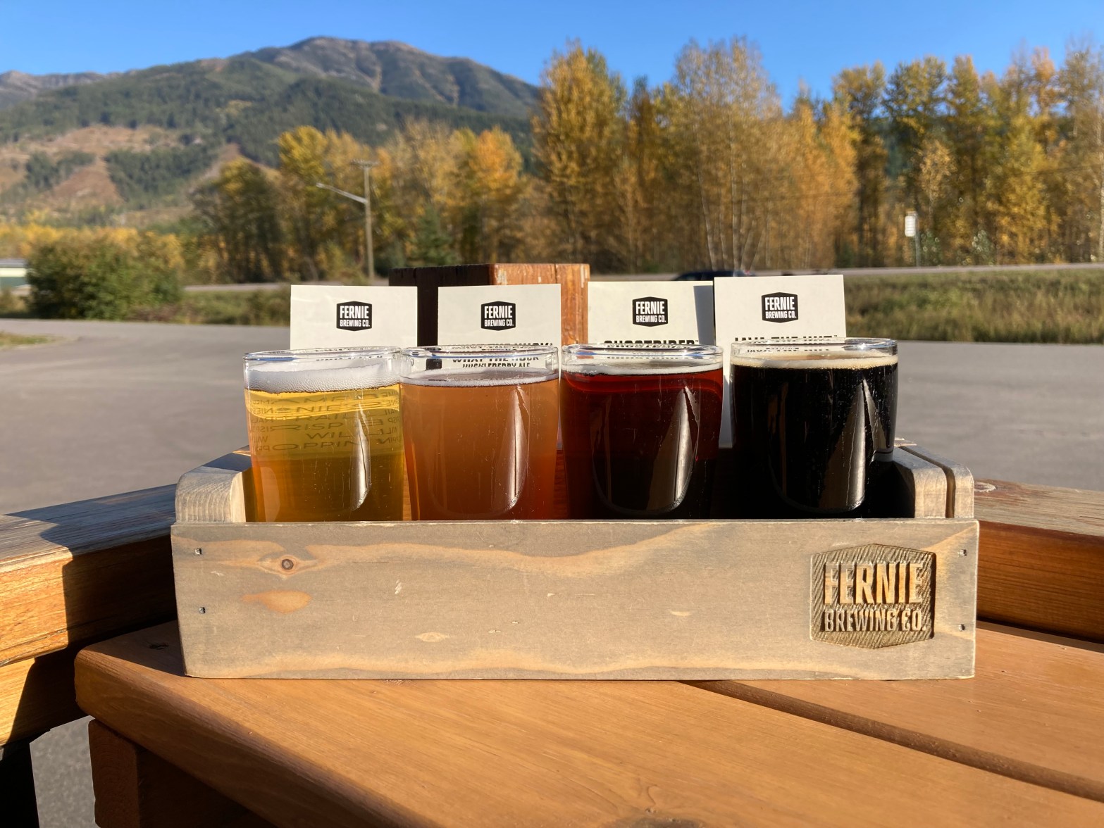
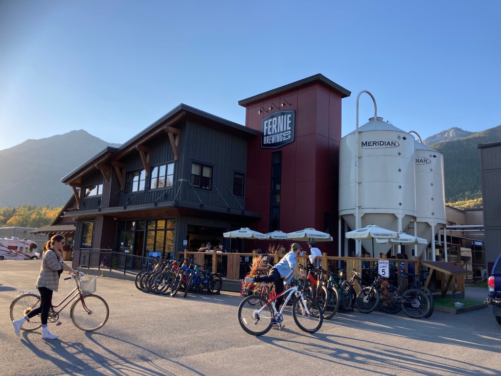
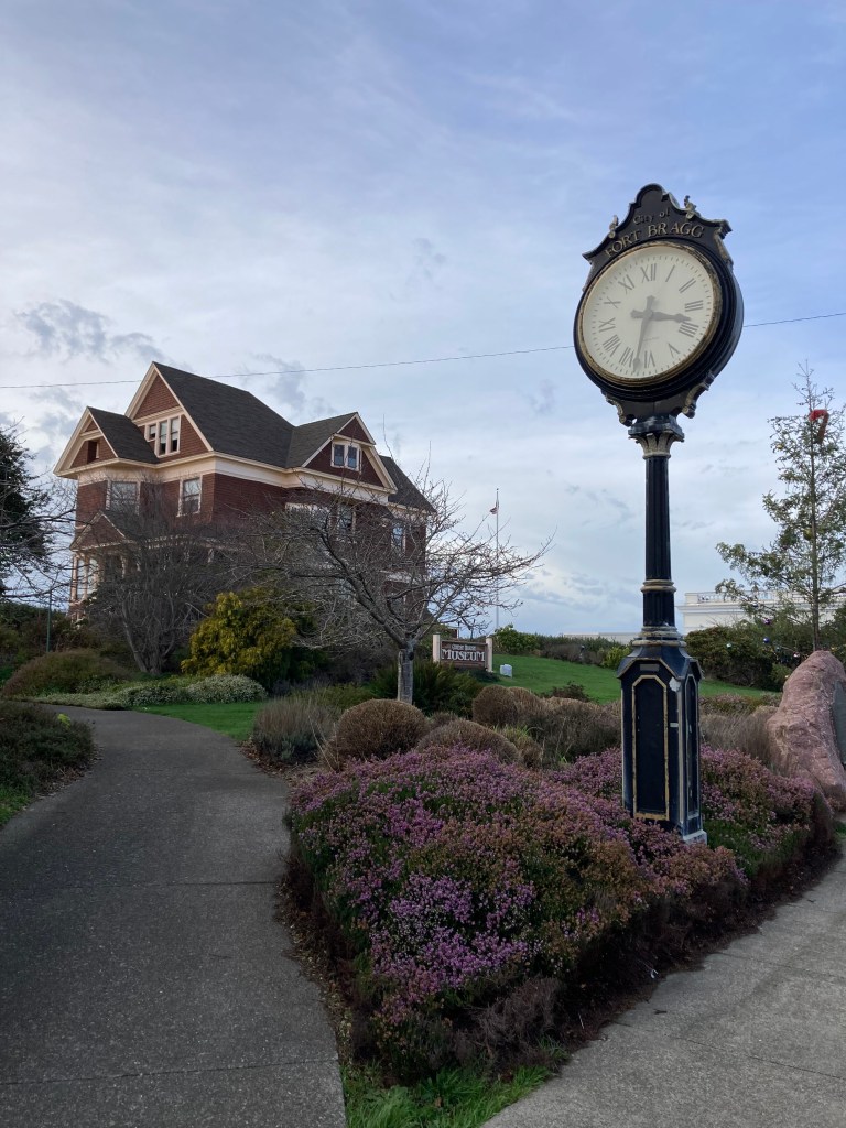
Fort Bragg
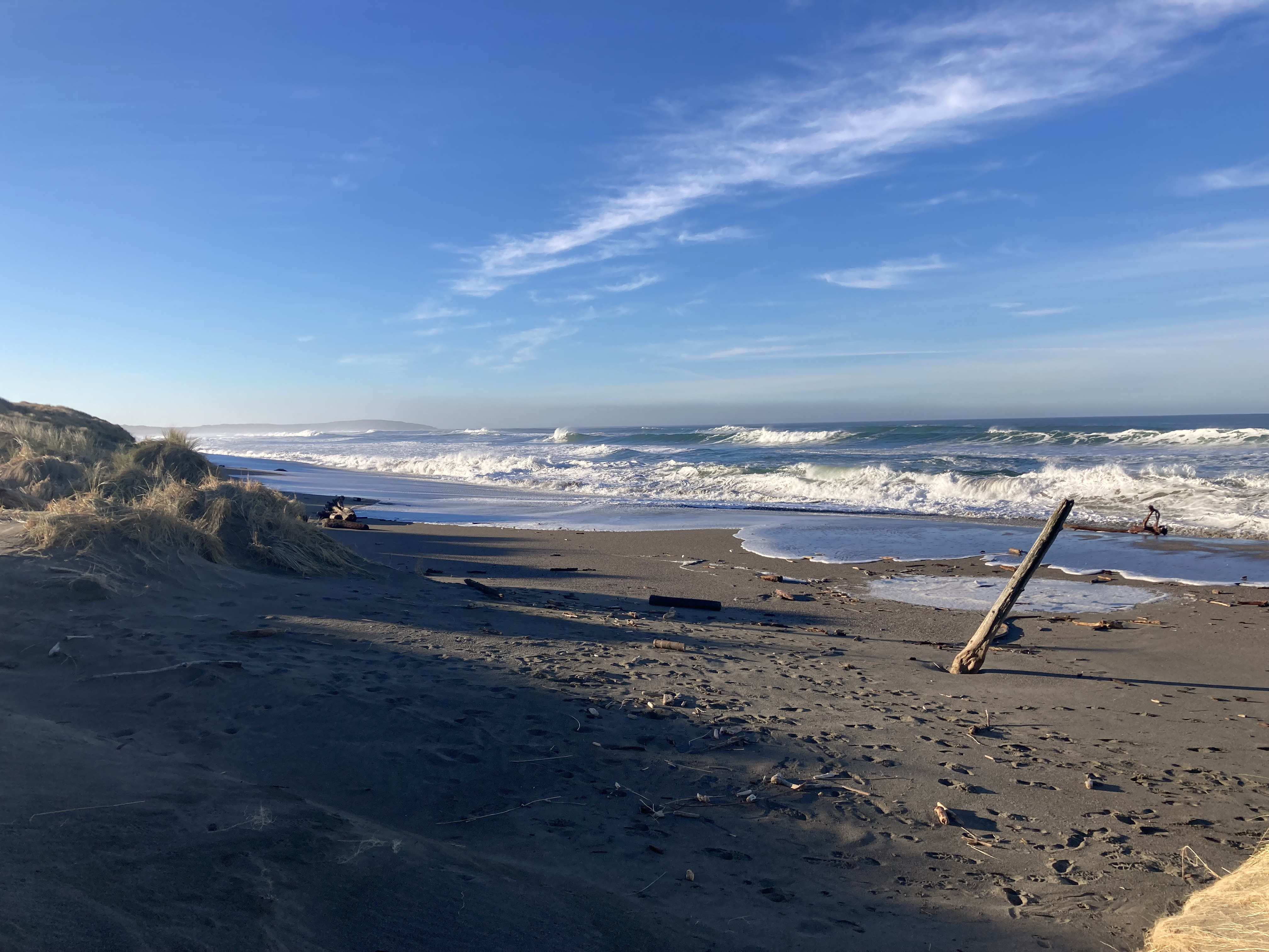
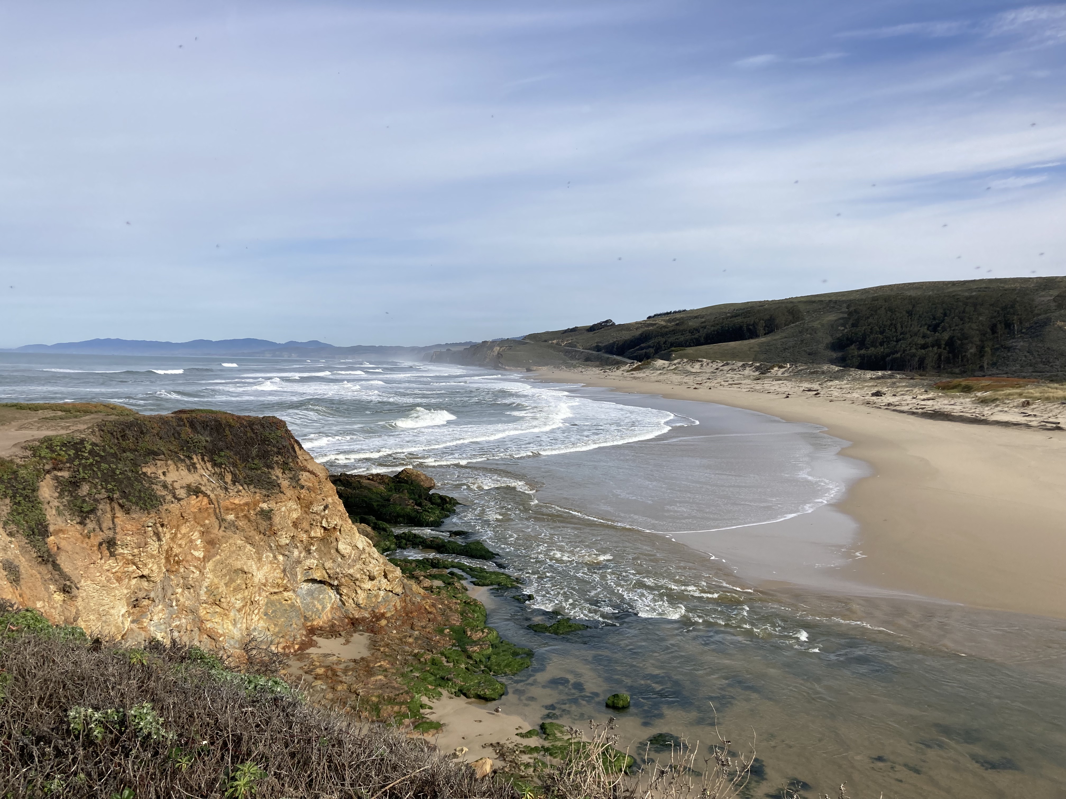
From Ukiah I backtracked a little, heading northwest to get back on the coast. I wanted to drive more along the ocean, and I wanted to see Fort Bragg – a little town of 7,000 on the Mendocino coast. I don’t know why, I hadn’t heard of Fort Bragg, and I hadn’t looked it up. But maybe it called to me, as it became one of my favourite spots.
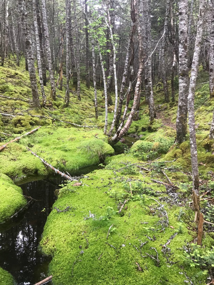
As I usually do in new locations, I looked up a place where I could park and get my bearings. This is often a park of some sort and I landed on Noyo Headlands. It was perfect – it had a paved parking lot as well as a long dirt extension where you could park further away from people. It had paths along the coast to walk along. I took my time, taking in the coast, and specifically the distinctly different vegetation. As dusk grew closer I listened to a chorus of frogs.
I made my way to a Safeway for some provisions (mostly dinner, and I remember paper towel being an insane price). Then looked up my overnight spot. It seemed Safeway allowed one night of overnight parking, but it was a pretty busy area. And while I was doing research on Fort Bragg I found that it was said to have a high crime rate. I can say now after having been in Fort Bragg that I never felt unsafe while there. But I also had found a crime rate map and made note of the worst areas – aiming to not park in these overnight. I stumbled across information that said street parking was pretty easy in Fort Bragg, and found myself a street in a lower crime area (there were other campervans when I arrived). This was not a residential area, which was good, but it could get busy in the mornings as it was near a lumber yard. I’d spend a couple of nights here before finding a new favoured spot on a road beside a field and the ocean, near Glass Beach and the California Coastal Trail.
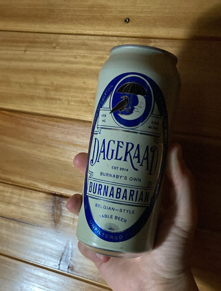
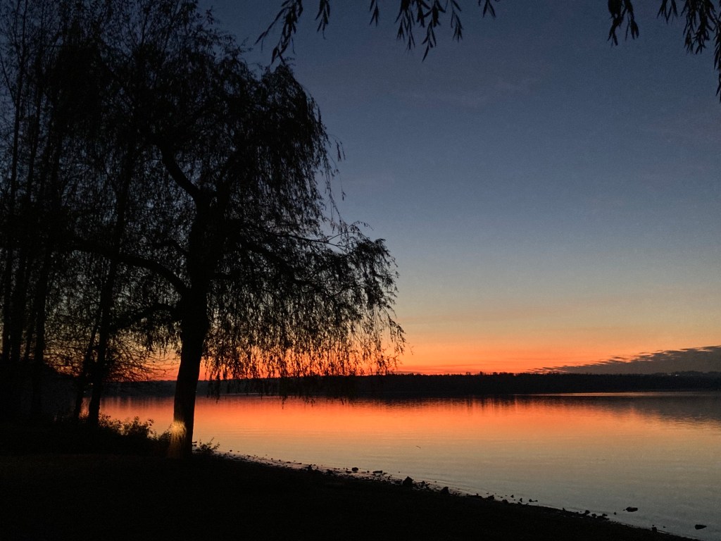
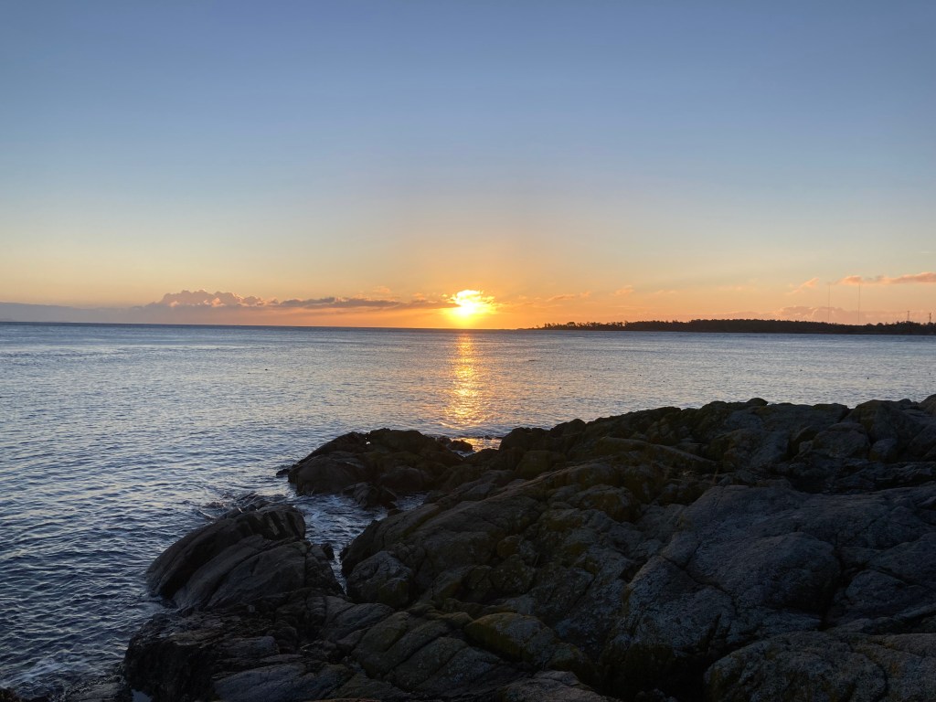
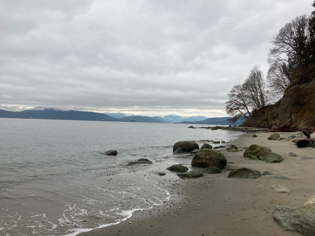
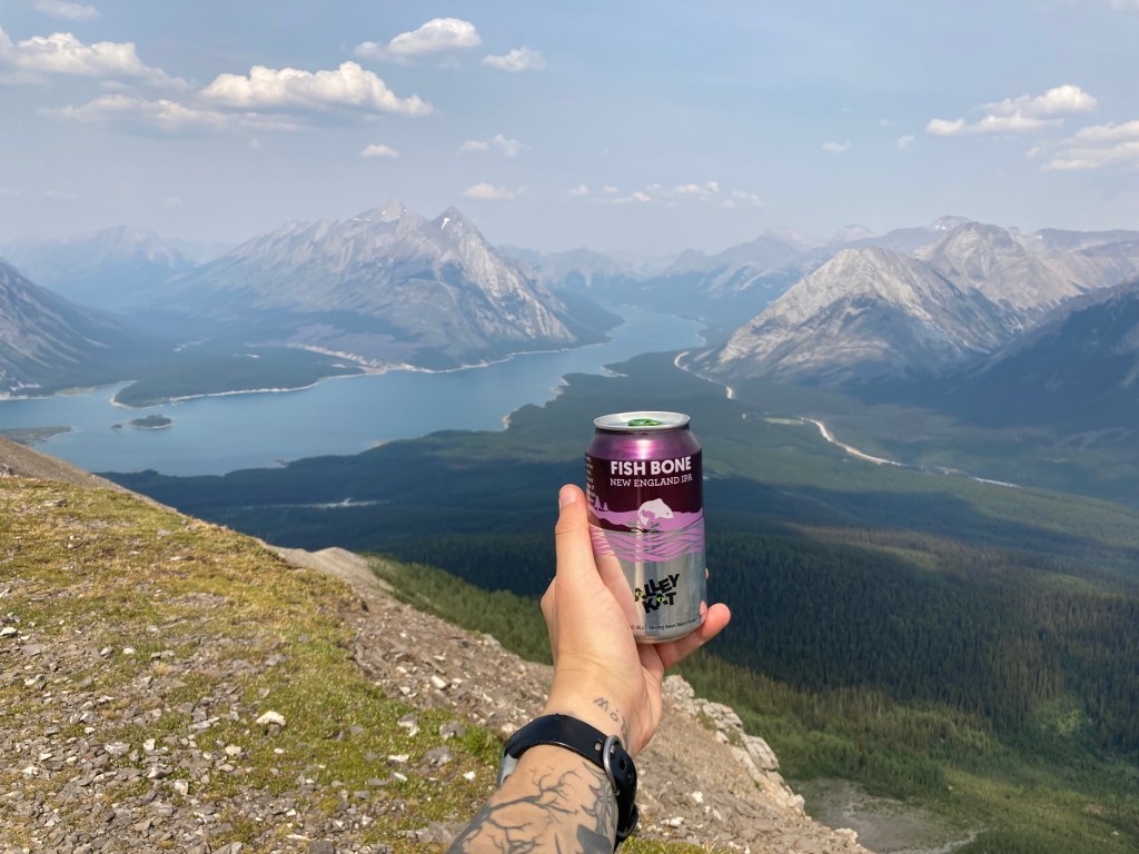
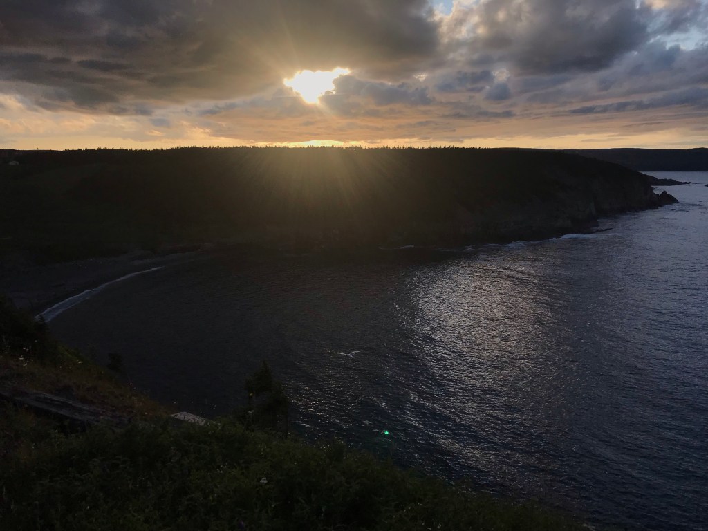
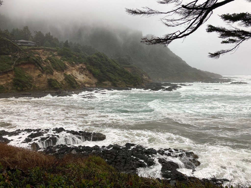
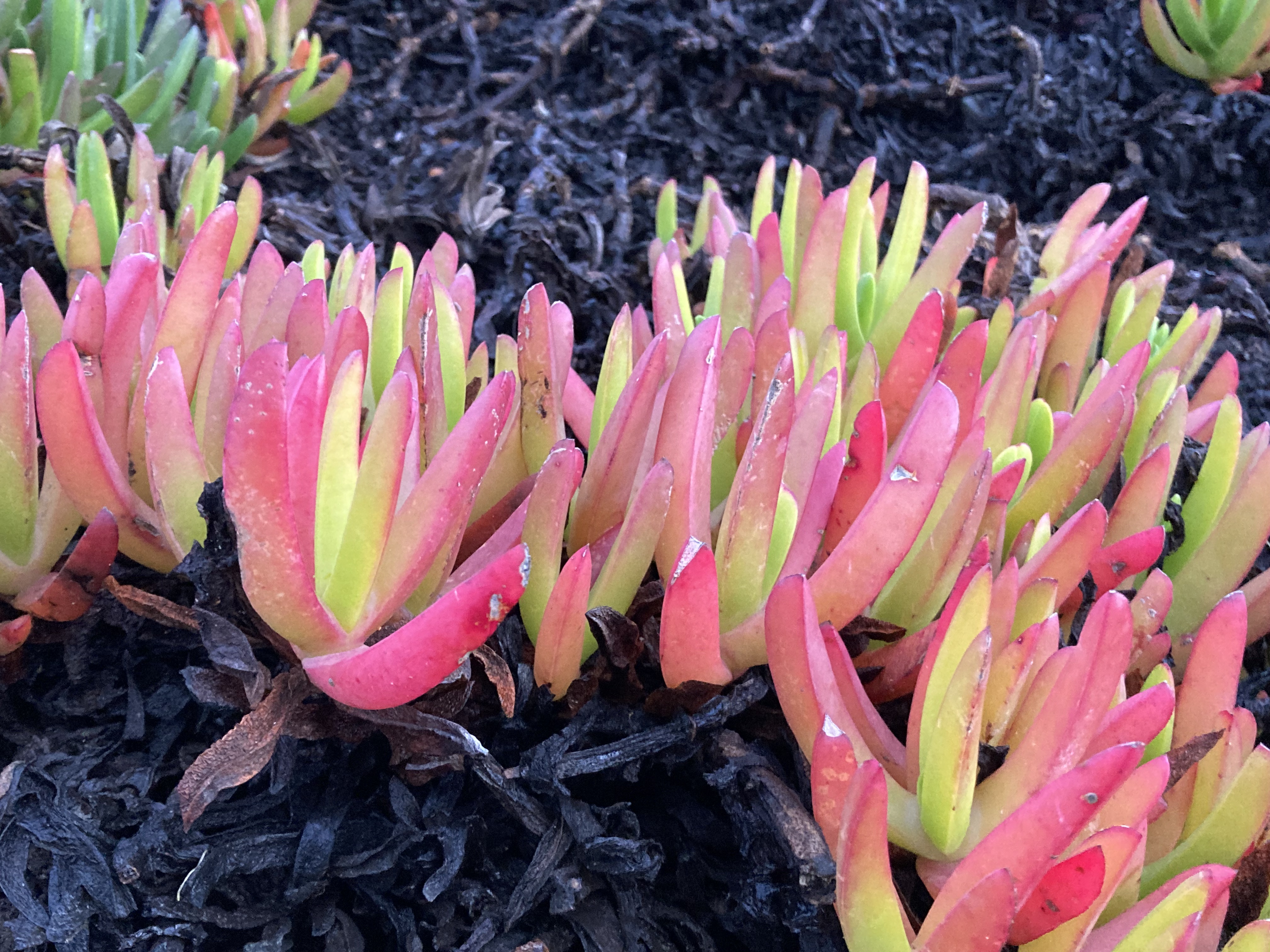
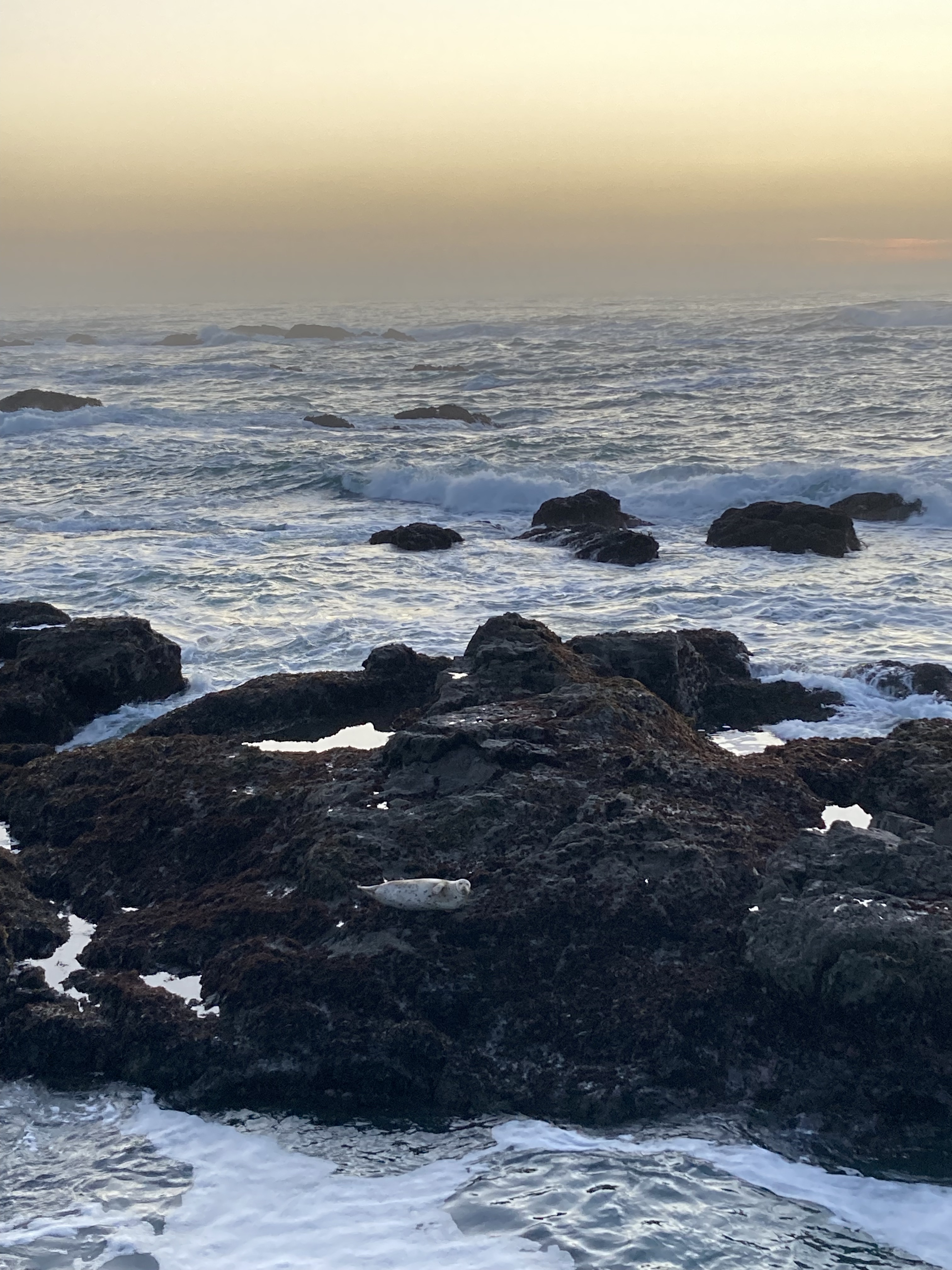
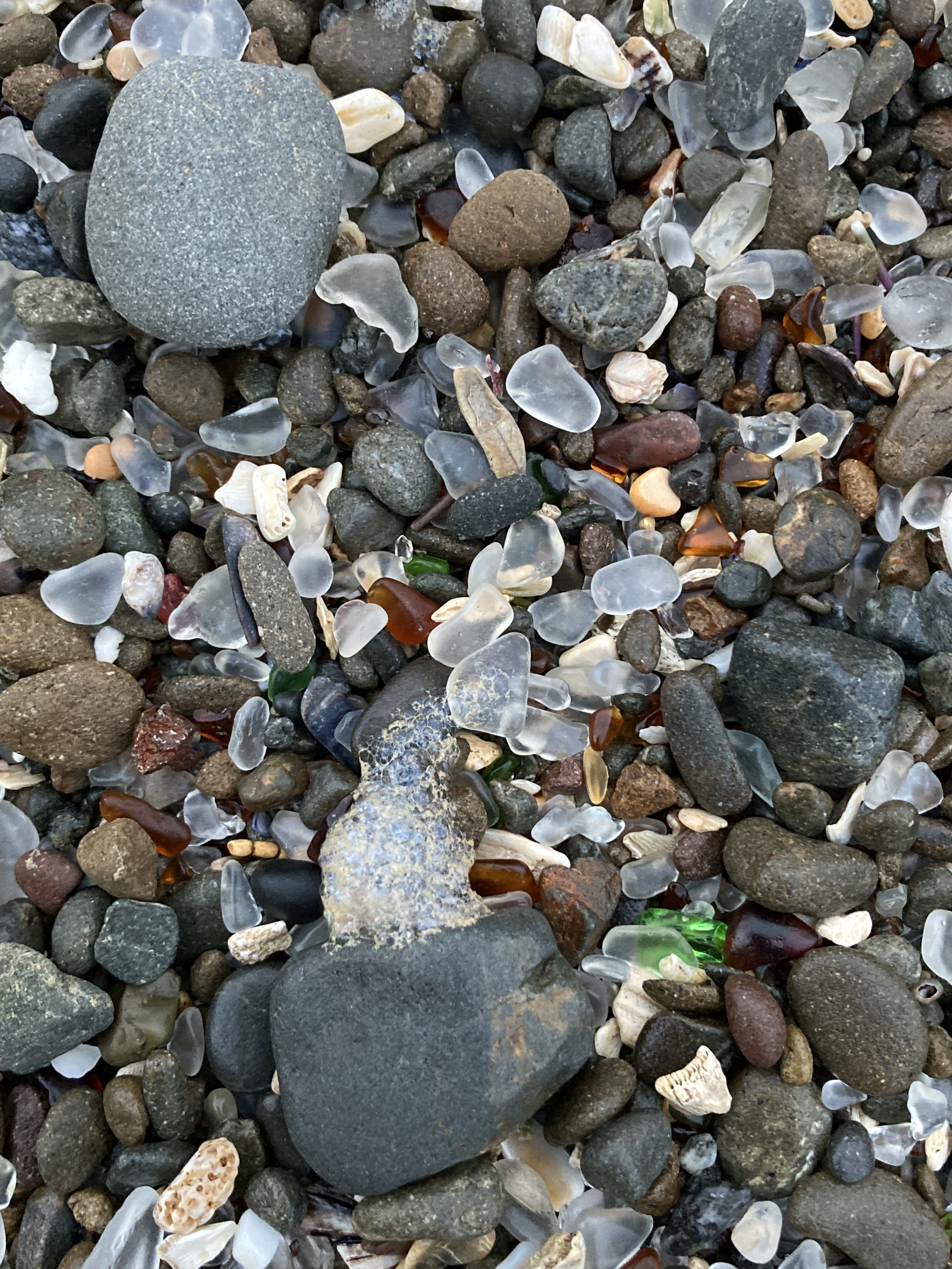
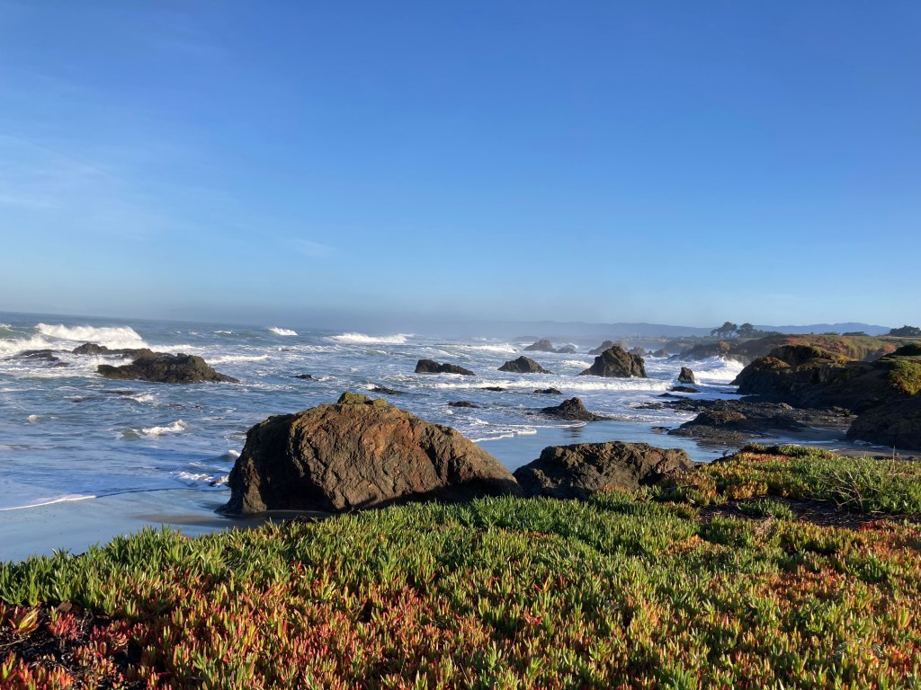
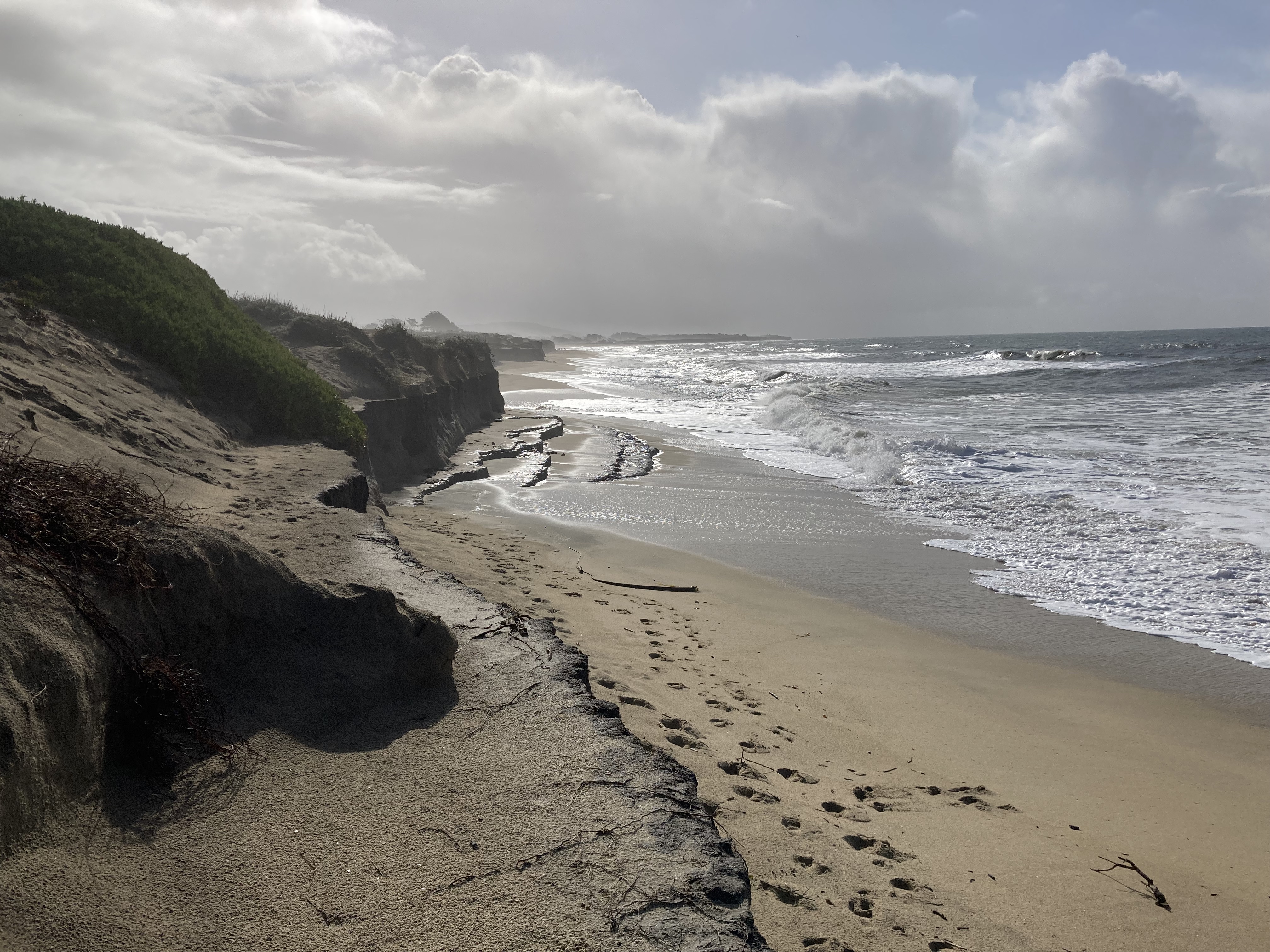
The next morning I parked at Glass Beach to explore and plan what to see in Fort Bragg. Glass Beach was definitely a favourite. I collected some glass. The coastline is stunning – it had green, yellow, and red coloured succulent plants, and on a windy day I watched huge winter waves roll in. Plus the sunsets were beautiful and I saw a white seal laying on the rocks!
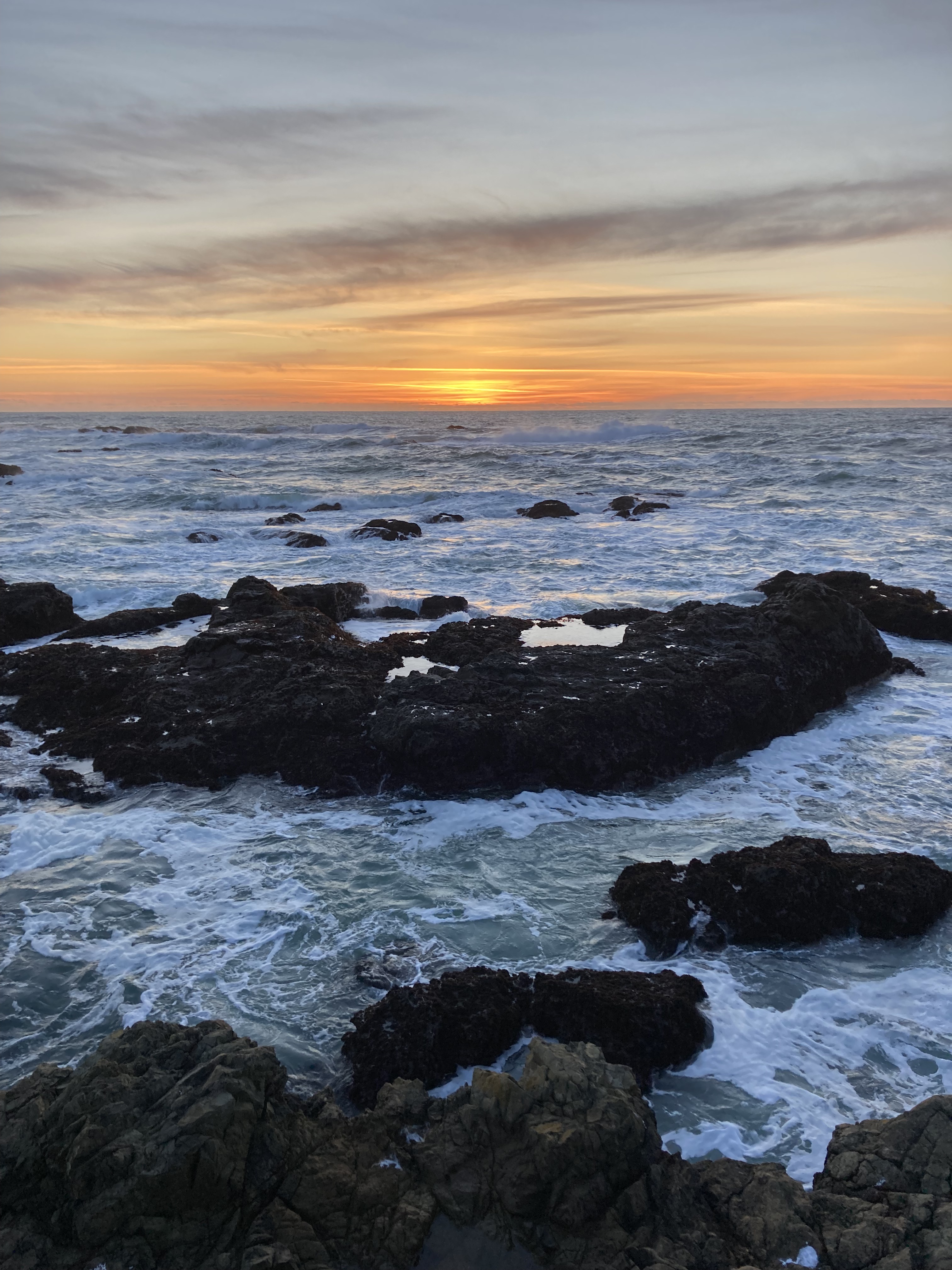
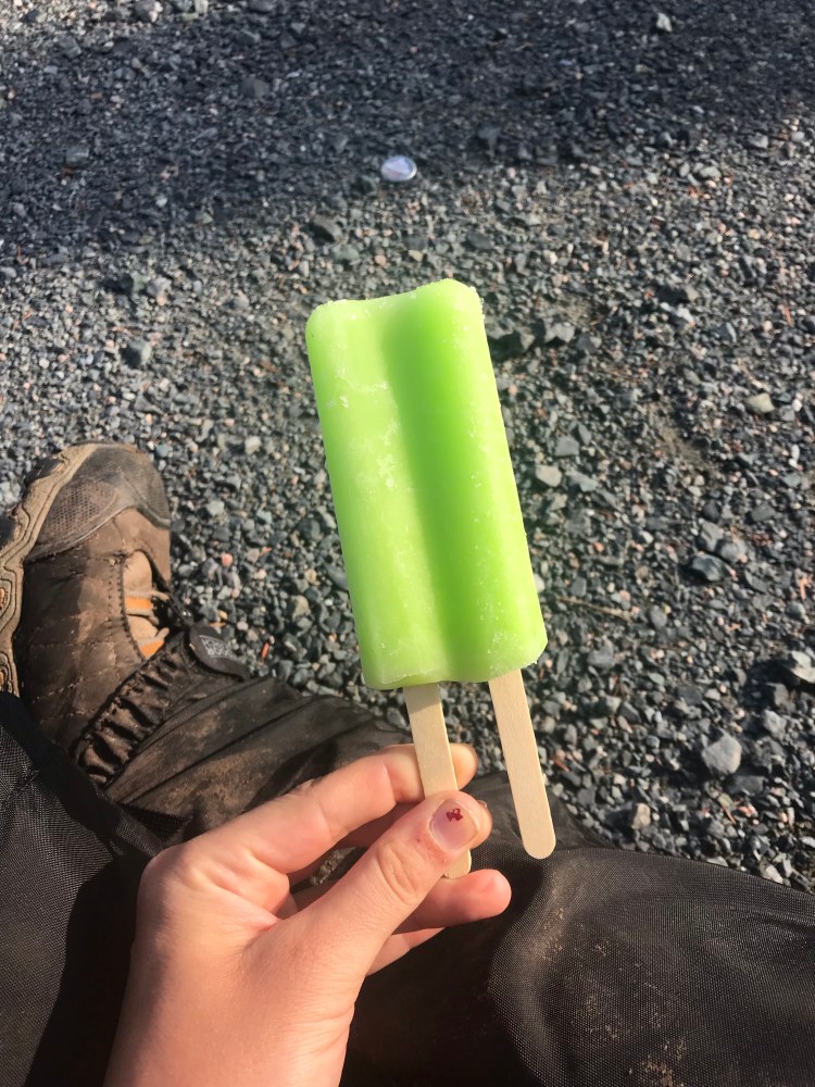
This was also a sunny day with a high of 14 degrees C. After months of winter in the van – I was in heaven. It had felt like a straight month of cloud and rain up to this point. And I had been so used to cold being the norm after months of it on the road. It was nice to feel the sun. I actually got overheated sitting in the van as the sun warmed it up! It was only early January, but I’d paid my winter dues, and it made me disproportionately happy to reap these rewards of being in California.
Safeway was often a go to for dinner, but I had to indulge in the local cuisine here and there. In Fort Bragg there was an area with a few seafood joints to check out. One that I frequented was Sea Pal Cove – I’d get the fish sandwich. I also checked out Princess Seafood (got the lobster bisque and some salmon jerky). Noyo Fish Company is also in this area.
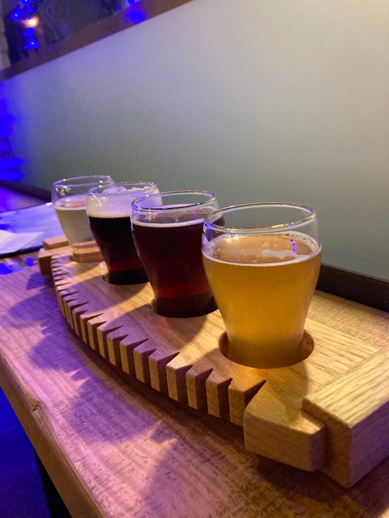
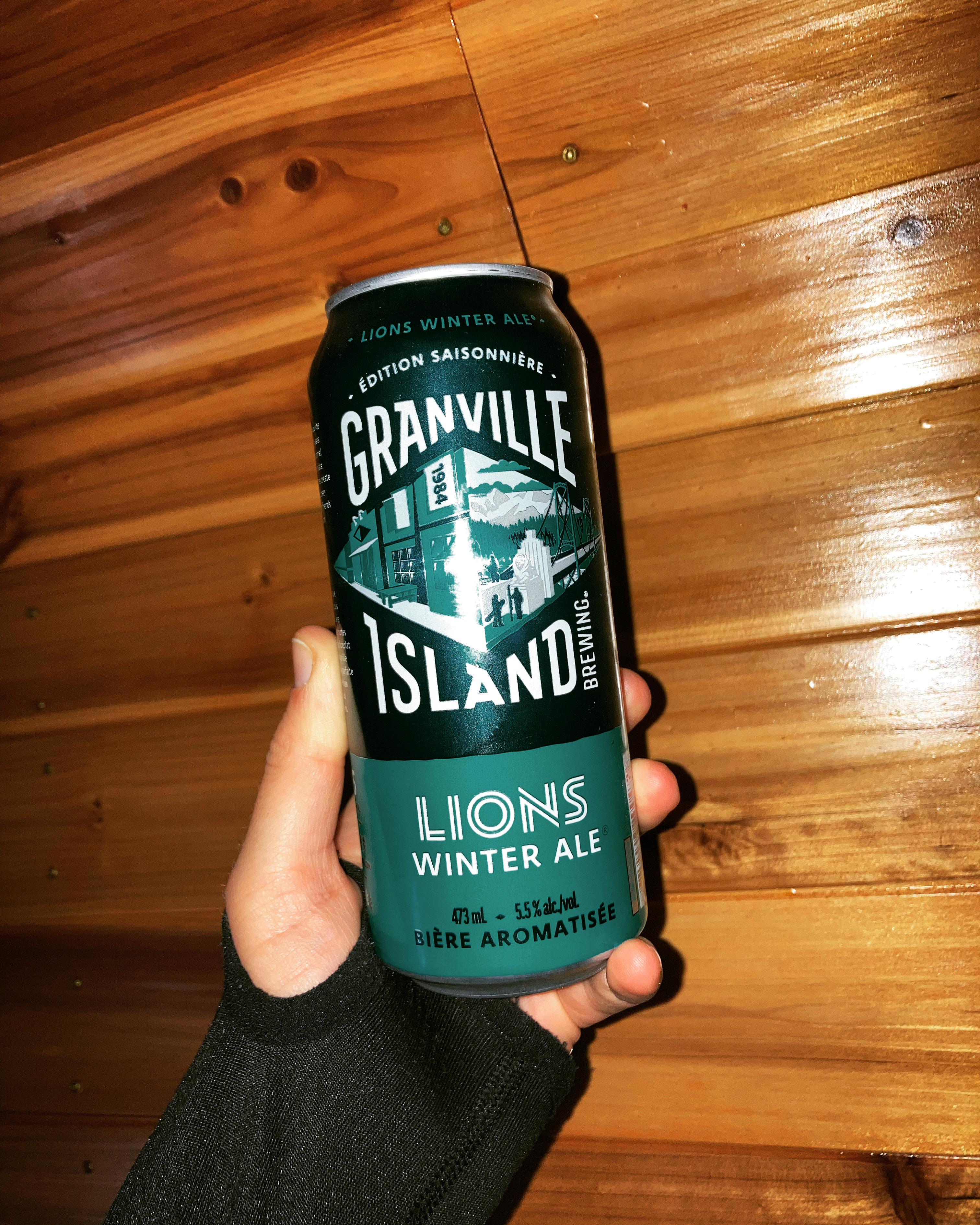
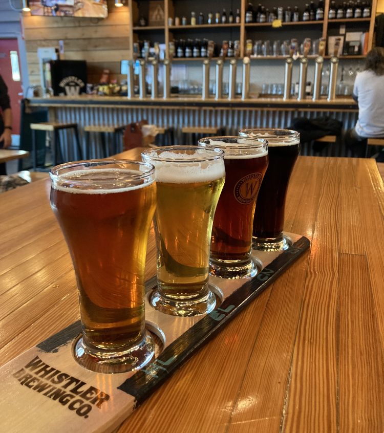
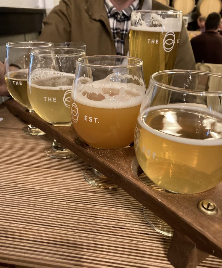
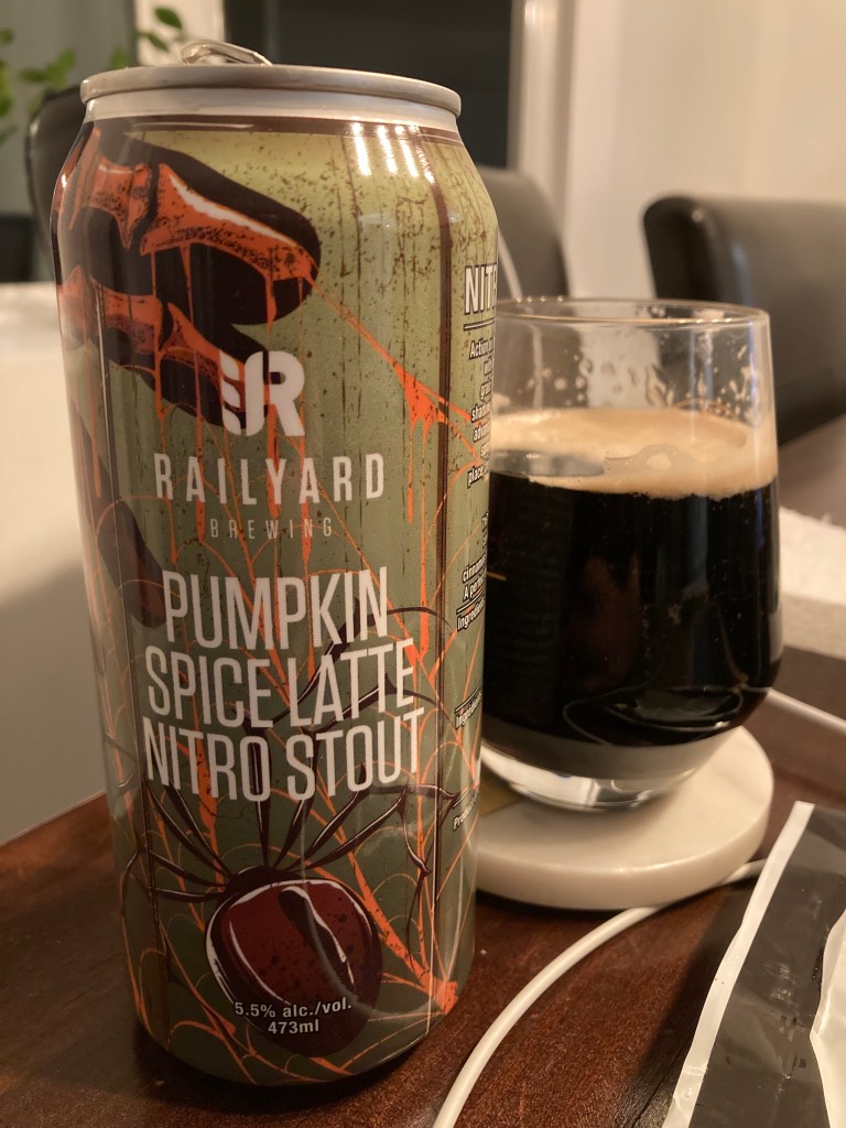
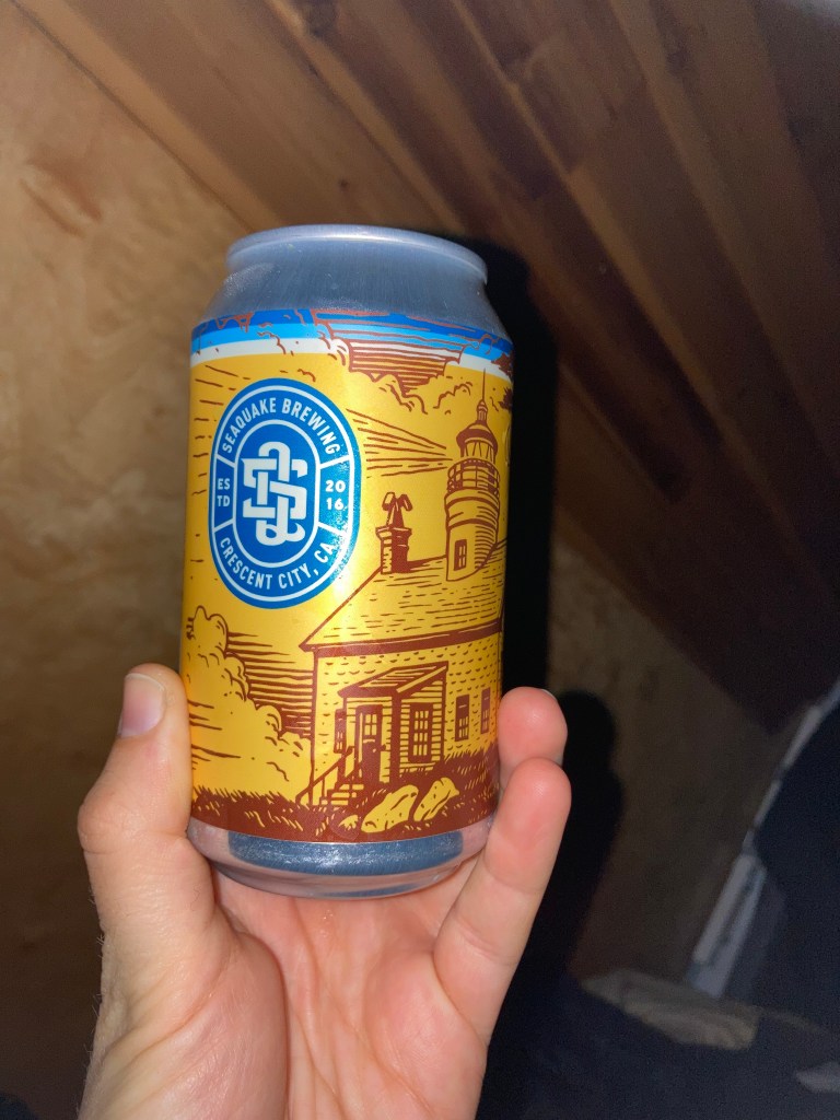
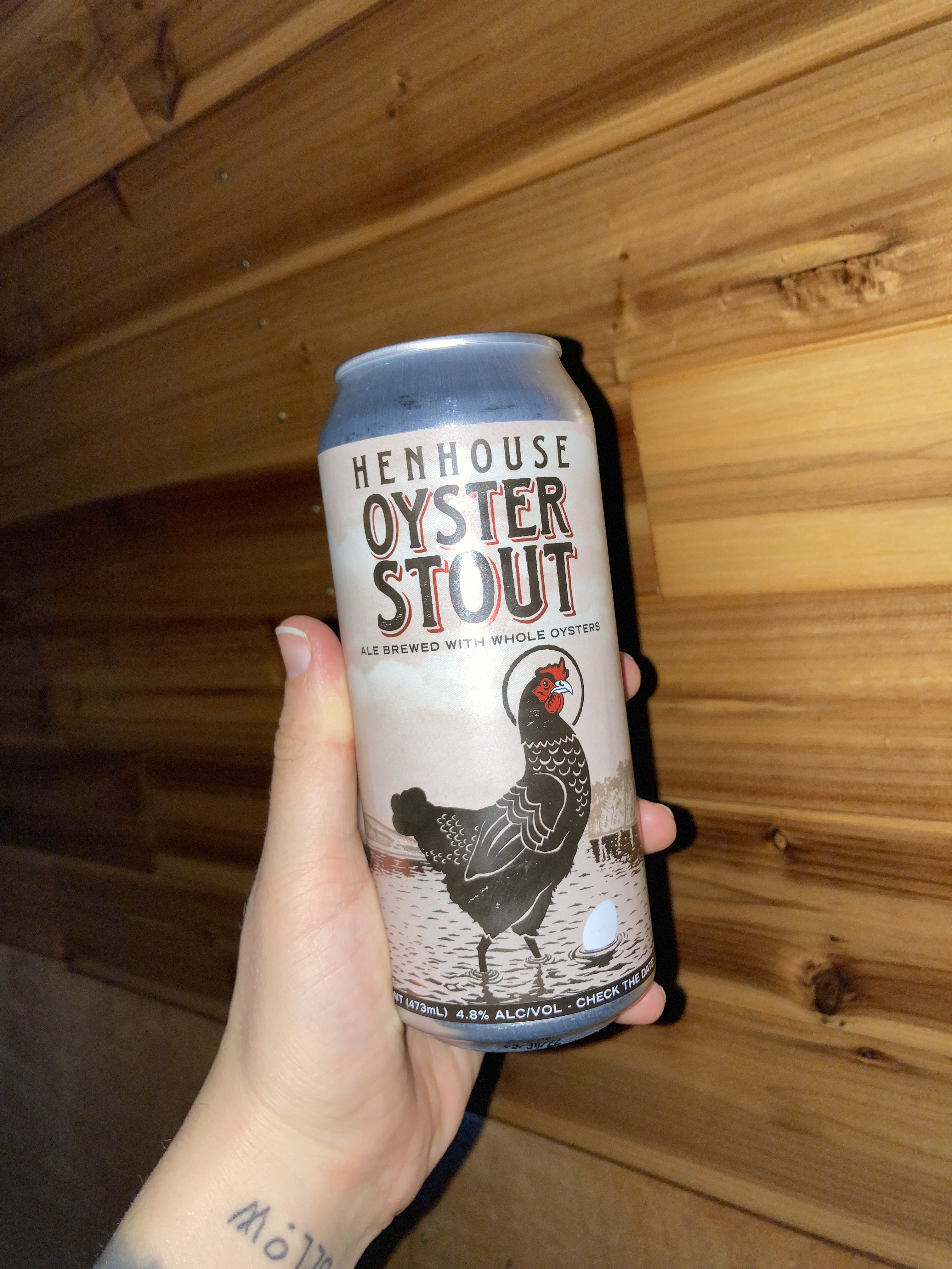
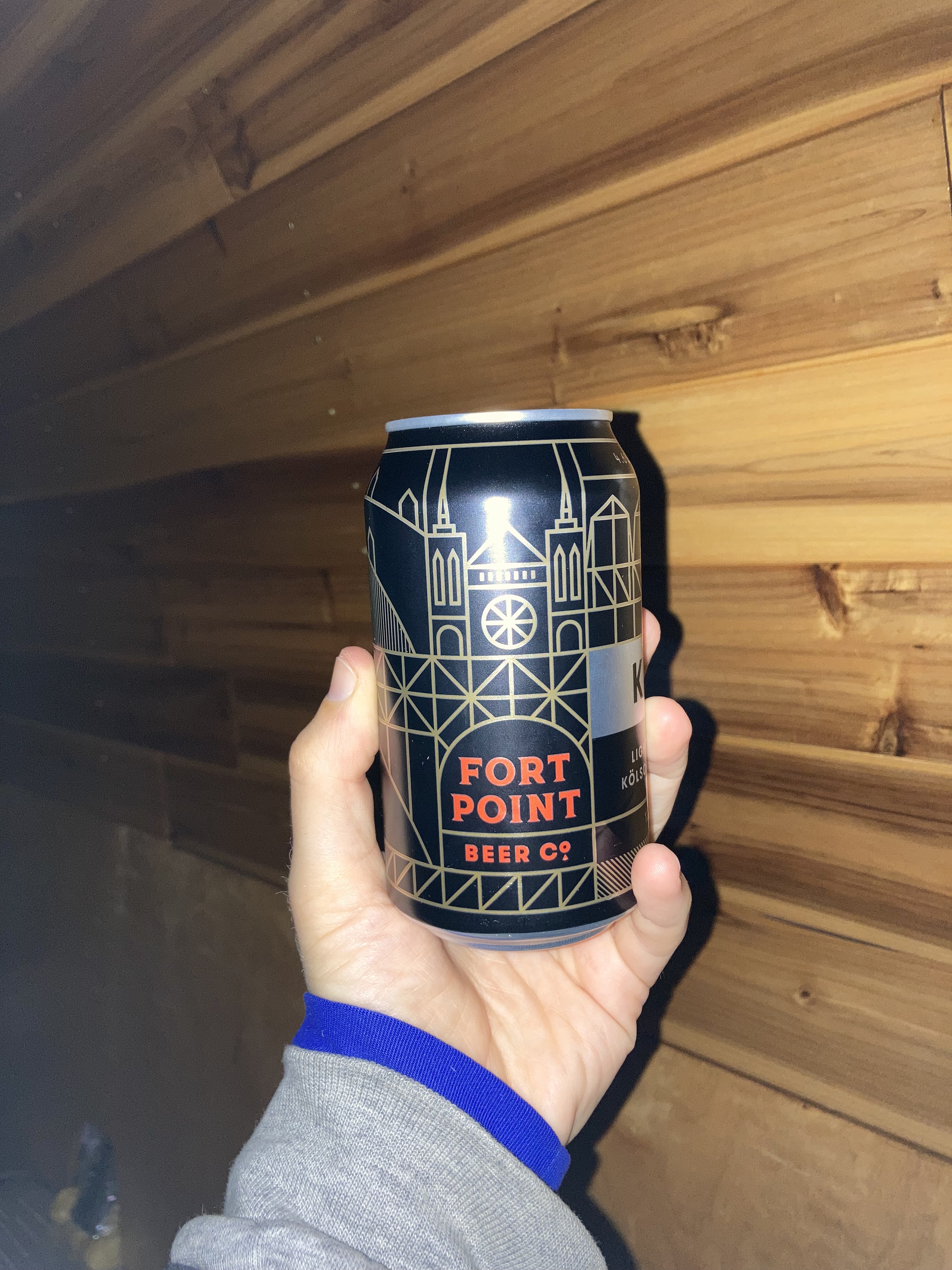
And can I get a moment of silence for this beer? It was amazing.
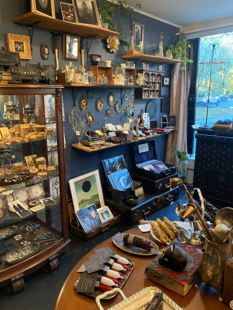
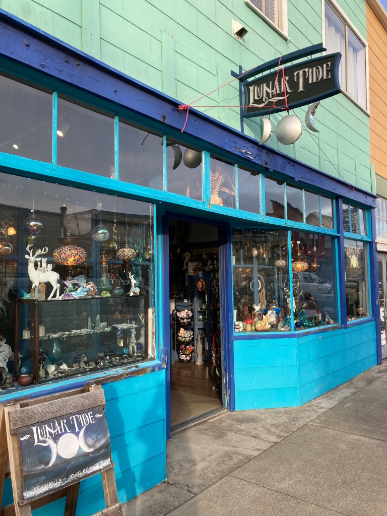
I spent an afternoon exploring the downtown area. There was a cute little shop called Lunar Tide. There’s the Sea Glass Museum. The Skunk Train. A huge cross section of a tree. And historical plaques.
There are several coastal areas to see, including Noyo Headlands, Glass Beach, Pudding Creek Beach (a little north of Glass Beach, with a sandy beach and trestle bridge), and Pomo Bluffs Park (smaller, to the south). Each have their own charm.
I was sad to leave Fort Bragg. It was a gem. Some spots I missed out on were the Mendocino Coast Botanical Gardens and Point Cabrillo Lighthouse. If I were to come back here (and I would) I’d probably like to take a ride on the Skunk Train into the redwoods, check out at least one of the local breweries, and visit Ten Mile Beach to the north.
As I drove south out of Fort Bragg I did a quick visit to Russian Gulch State Park. Devil’s Punchbowl was okay, but the coastline during sunset was really pretty.
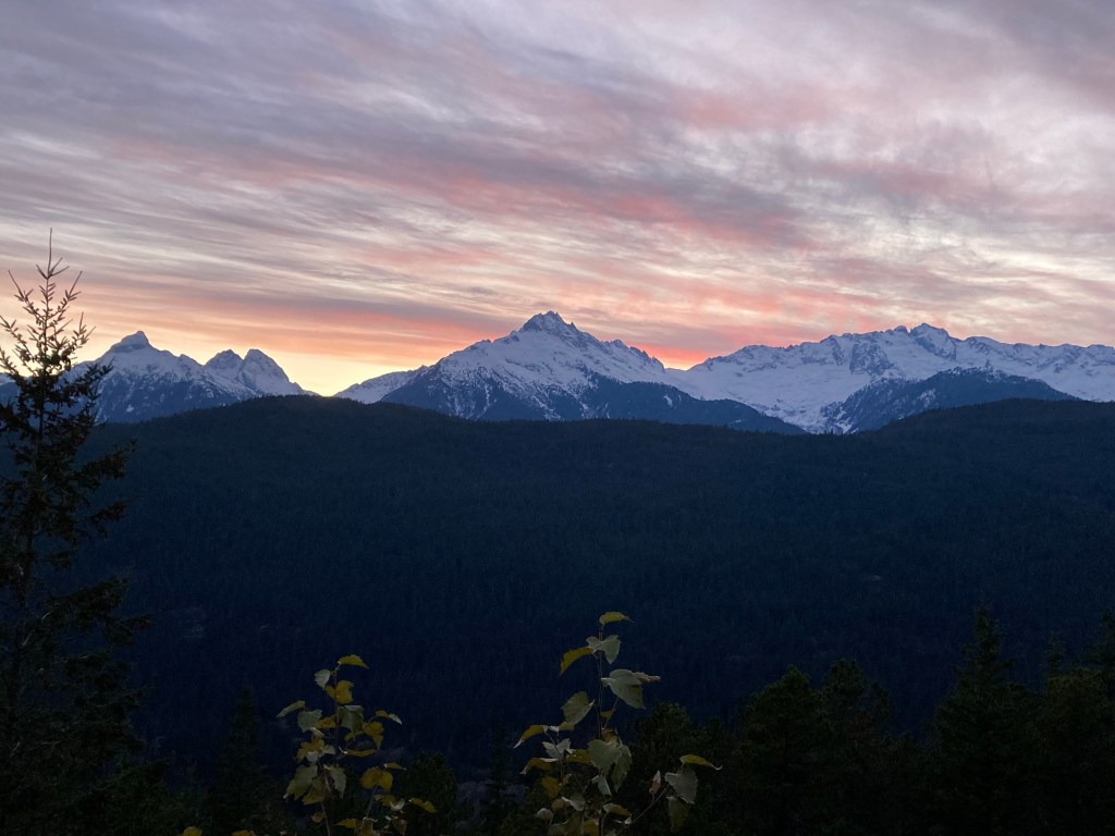
I drove past Mendocino, which seemed nice, then did a very winding drive about 30 miles south to a vista point for the night, just off the highway, perched up above the ocean. I woke up to a beautiful cotton candy horizon.
Bodega Bay
I don’t know when it sunk in. I don’t know when a decision was made. I don’t think a decision was ever made. But by now a pattern was emerging – my continual movement in the direction of south.
There was a perpetual cloud looming in my mind of all the ways this trip could tank. All the reasons why I shouldn’t even be doing it. Maybe my subconscious thought that if I didn’t plan anything, then nothing could fall through. Having a big plan felt like jinxing myself. It felt taboo. Out of mind – out of failure?
There are certain circumstances in which I have a habit of avoiding commitment. Such as in my thru hikes, where I won’t post about the thru hike in real time (partly because I’m in nature to disconnect) or until I’m almost finished. Because what if I have to bail? It’s like the expectation sets you up to trip you up. It also feels daunting to declare a big goal – it feels less daunting to take things a day at a time. It’s a mental game.
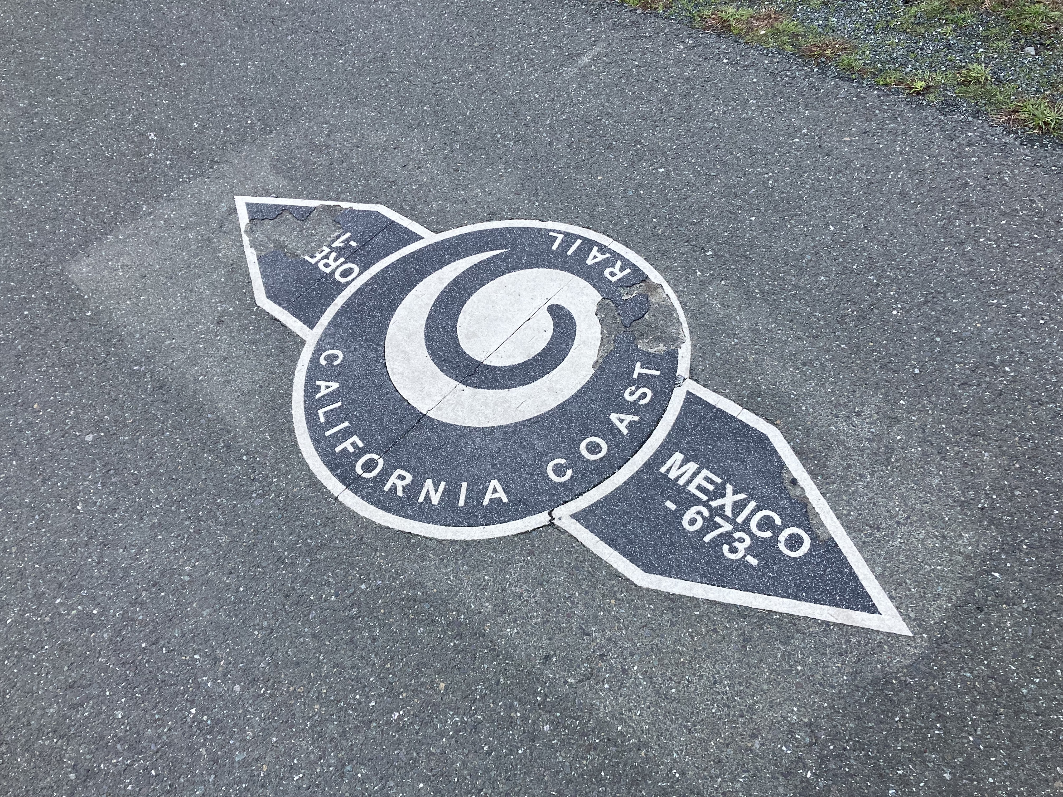
I told myself that I would just go a little further south. Just a little further, every time I left a place. Until eventually I ended up at the Mexico border (ha).
I followed the PCH south, for the most part, stopping at most noteworthy places, or places I’d never heard for curiosity’s sake.
And the next noteworthy stop was Bodega Bay.
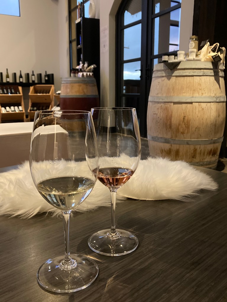
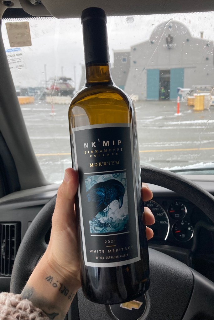
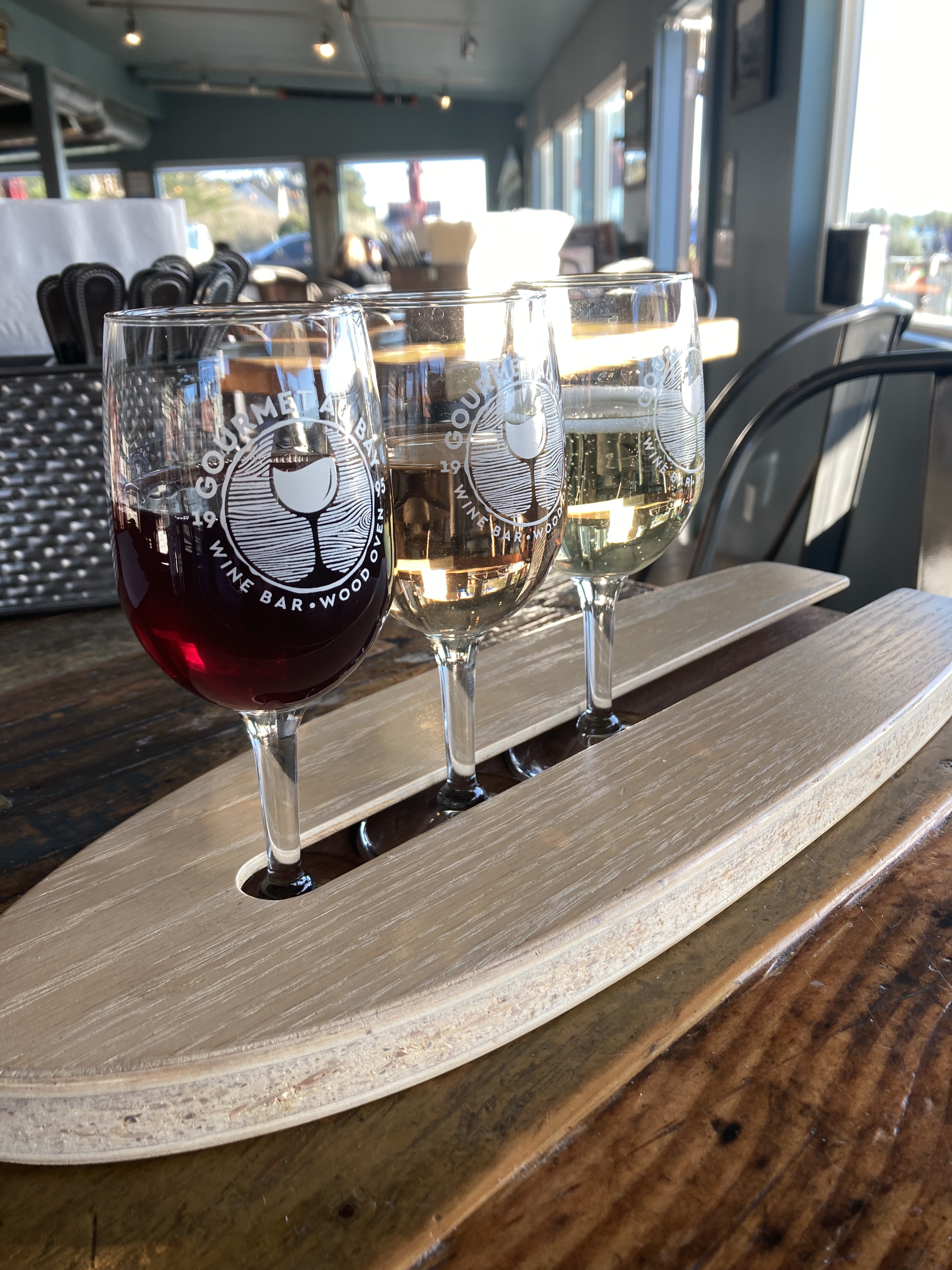
The word bodega comes from the Spanish word for wine cellar. It can be a small grocery store, wine shop, or wine cellar in Spanish speaking areas. So it’s fitting that I got a wine flight here.
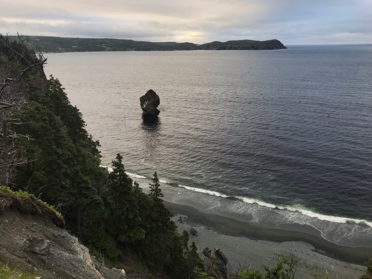
The drive to Bodega Bay along the PCH was slow and winding (with some construction stops). It was also done just after sunrise with the sun blaring into my eyes. But I was rewarded with one of the most stunning coastal views yet.
Once I got to Bodega Bay it really started to feel like I was in California – more Cali, much less PNW. I’m sure the rain stopping and sunshine helped.
Taking in the ever shifting coastline was a treat.

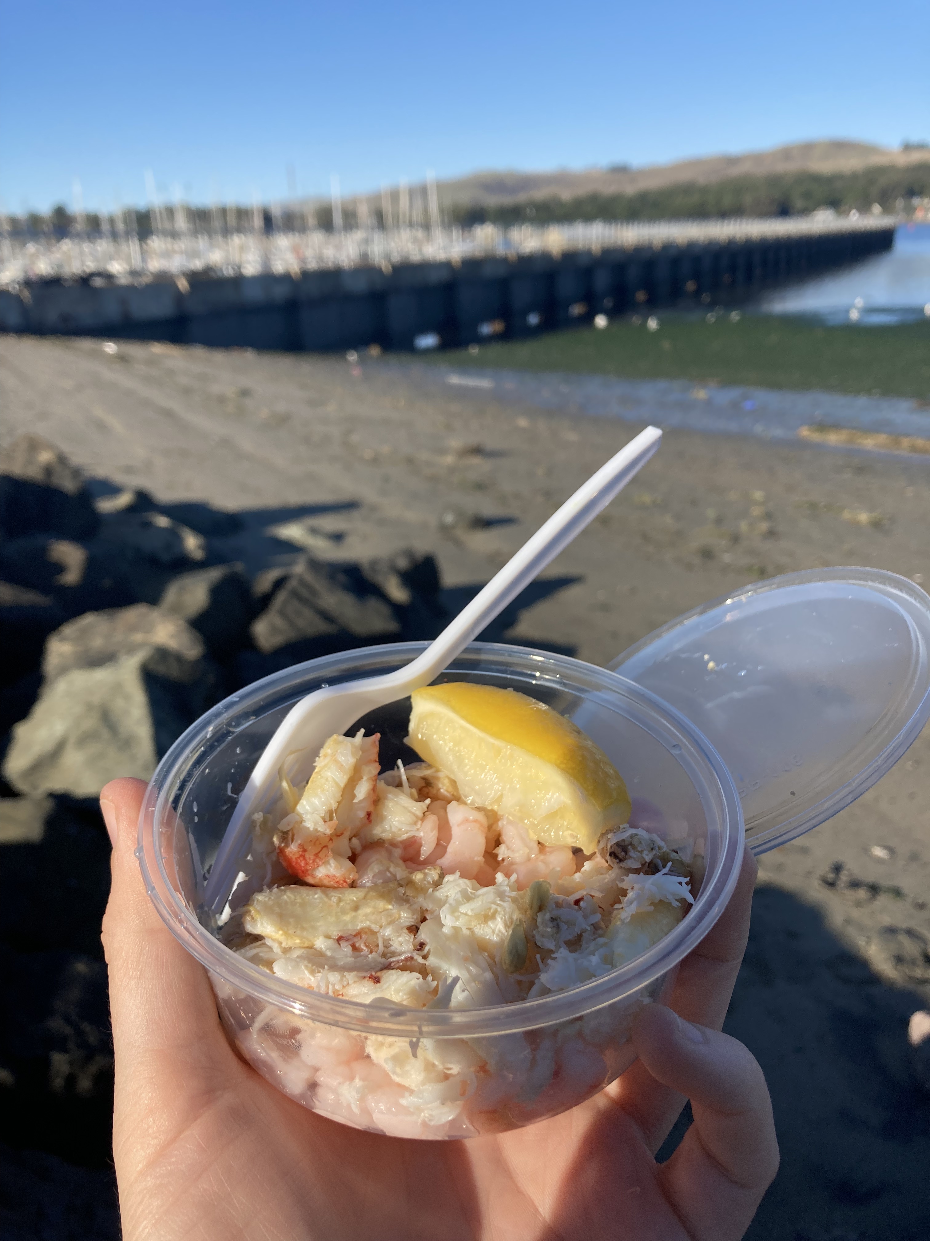
I walked around Bodega Head to take in the coastal views. I got some fresh seafood at Spud Point Crab Company, right on the marina. Then I headed to Gourmet Au Bay, a cute little restaurant, and got a wine tasting flight.
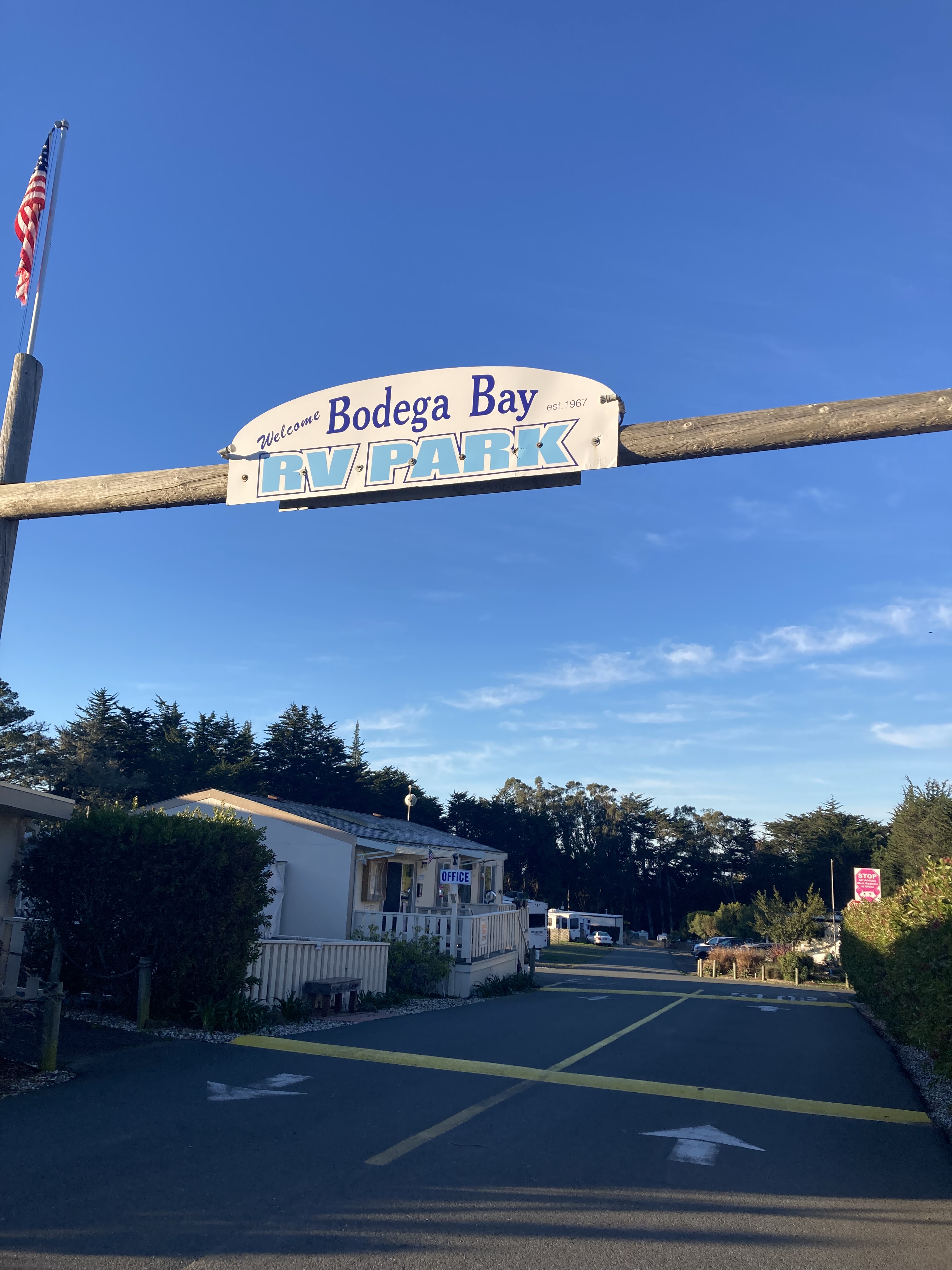
Bodega Bay is exceptionally small, with a census of less than 1,000 residents. But it is quite beautiful. I stayed at the Bodega Bay RV Park, which I would rank as one of my higher rated RV Parks/ campgrounds.
I decided to go for a run in the morning, which took me along a trail, through dunes, and along a beach – where waves almost took me out as they crashed into the dunes due to high tide (my wipeout is funny in retrospect). I then basked in the glory of showering and doing laundry before hitting the road. These stays are always a nice little reset.
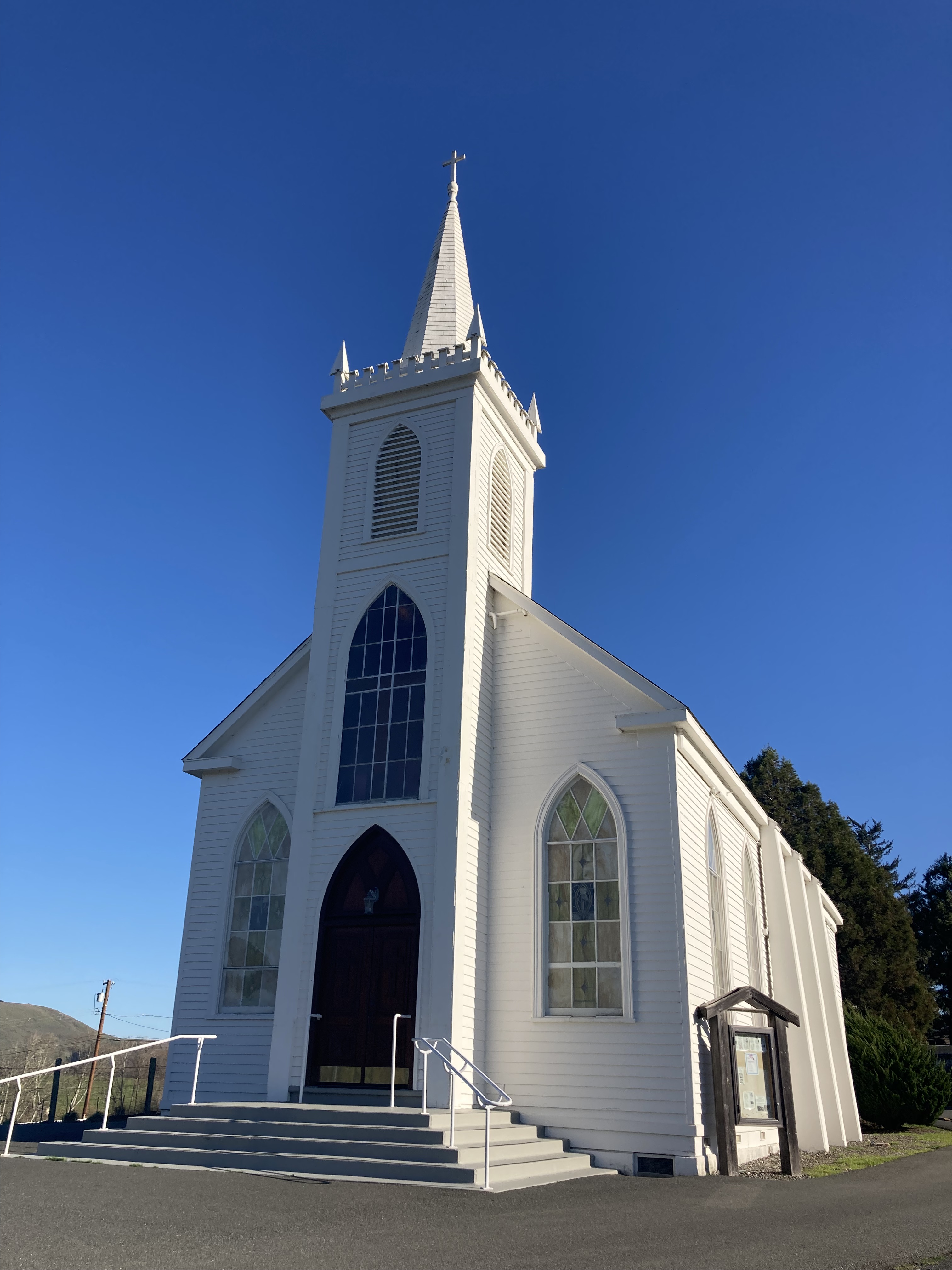
Bodega Bay has an interesting connection to the filming of Alfred Hitchcock’s movie The Birds, hosting filming locations, including Bodega Head. I headed a few miles inland to the tiny village of Bodega to see the Birds House / Potter schoolhouse and the St. Teresa of Avila Church, both featured in the film.
Santa Rosa
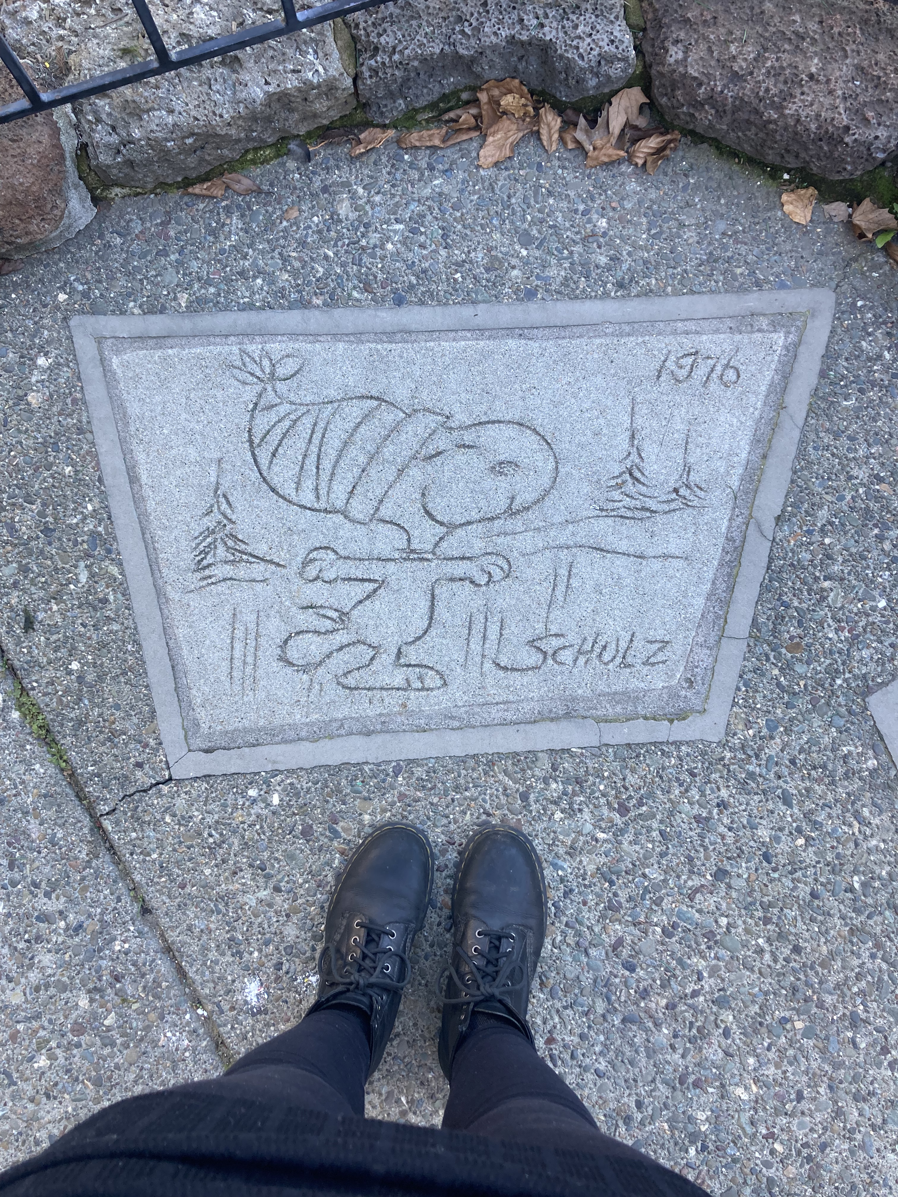
I continued inland to Santa Rosa. There might have been construction on the PCH, or maybe I wanted to get back on the 101 for a more direct (less winding) route to San Francisco. Or maybe I’d heard about the Charles M. Schulz Museum.
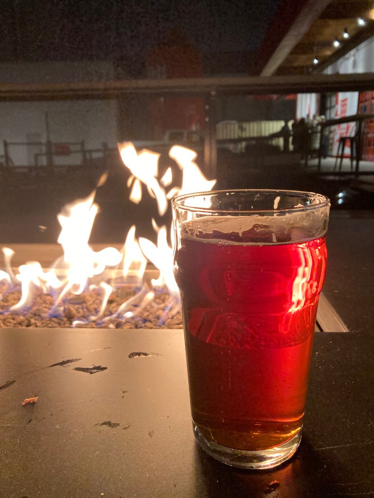
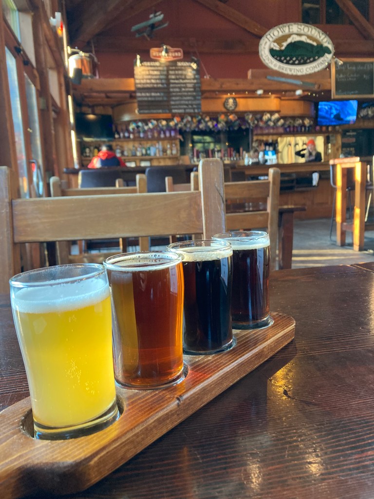
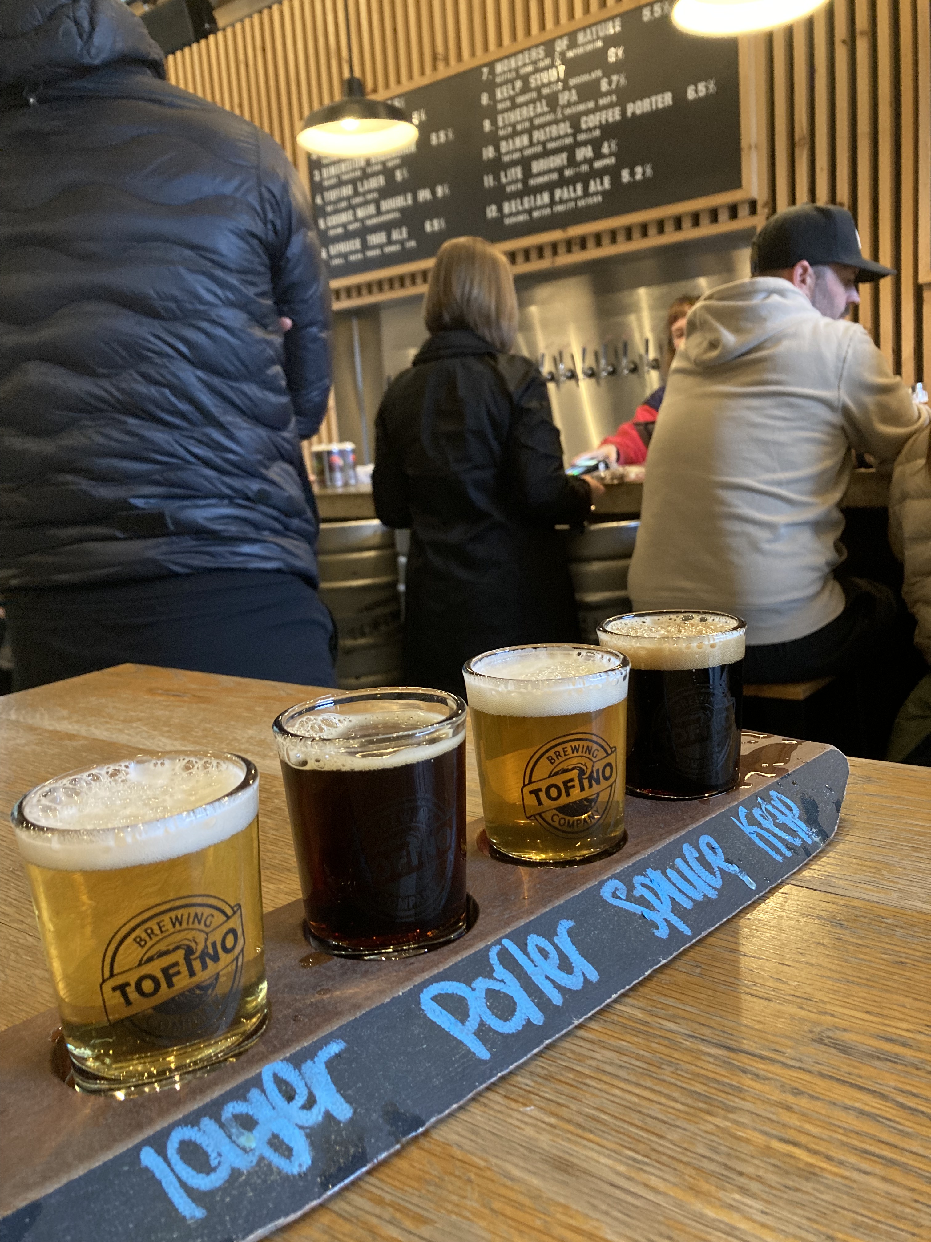
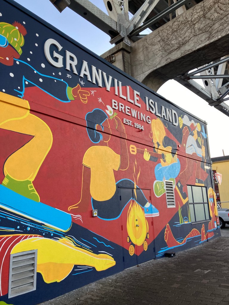
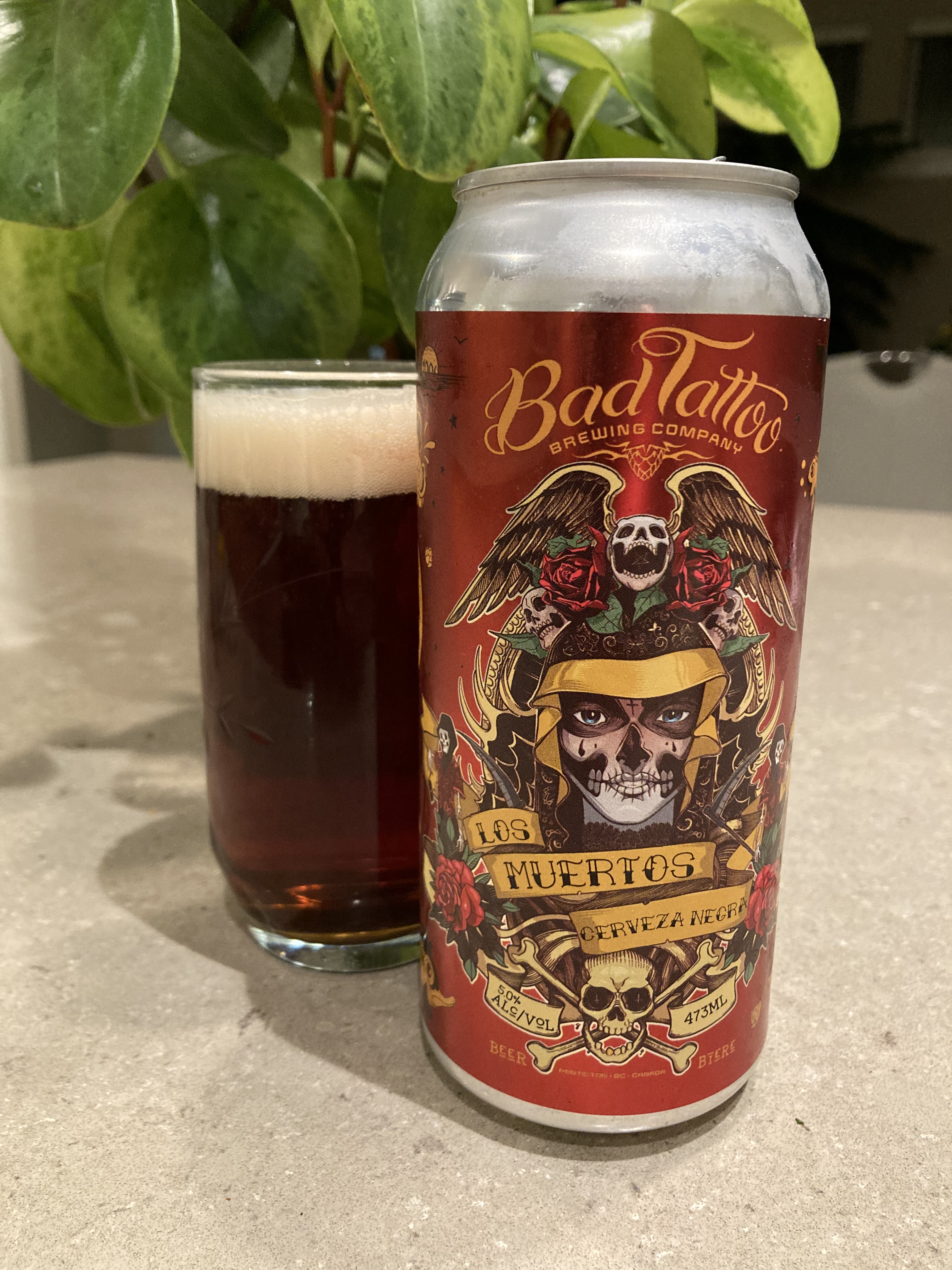
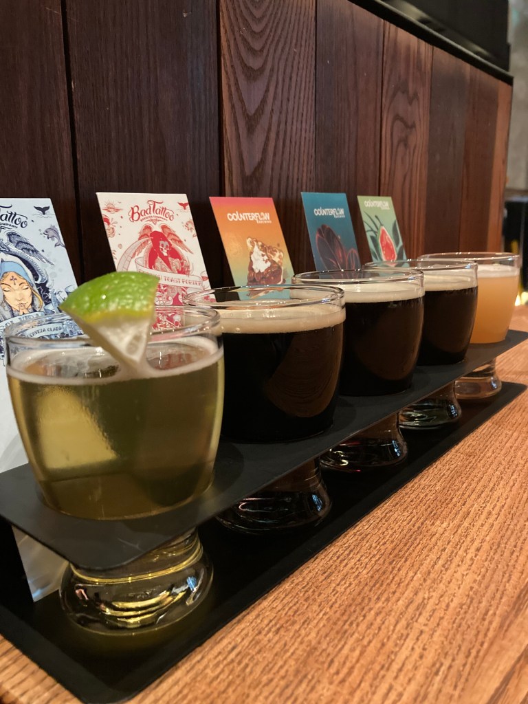
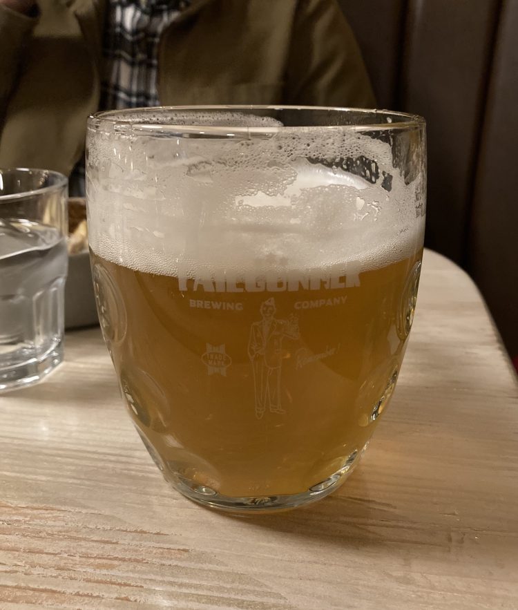
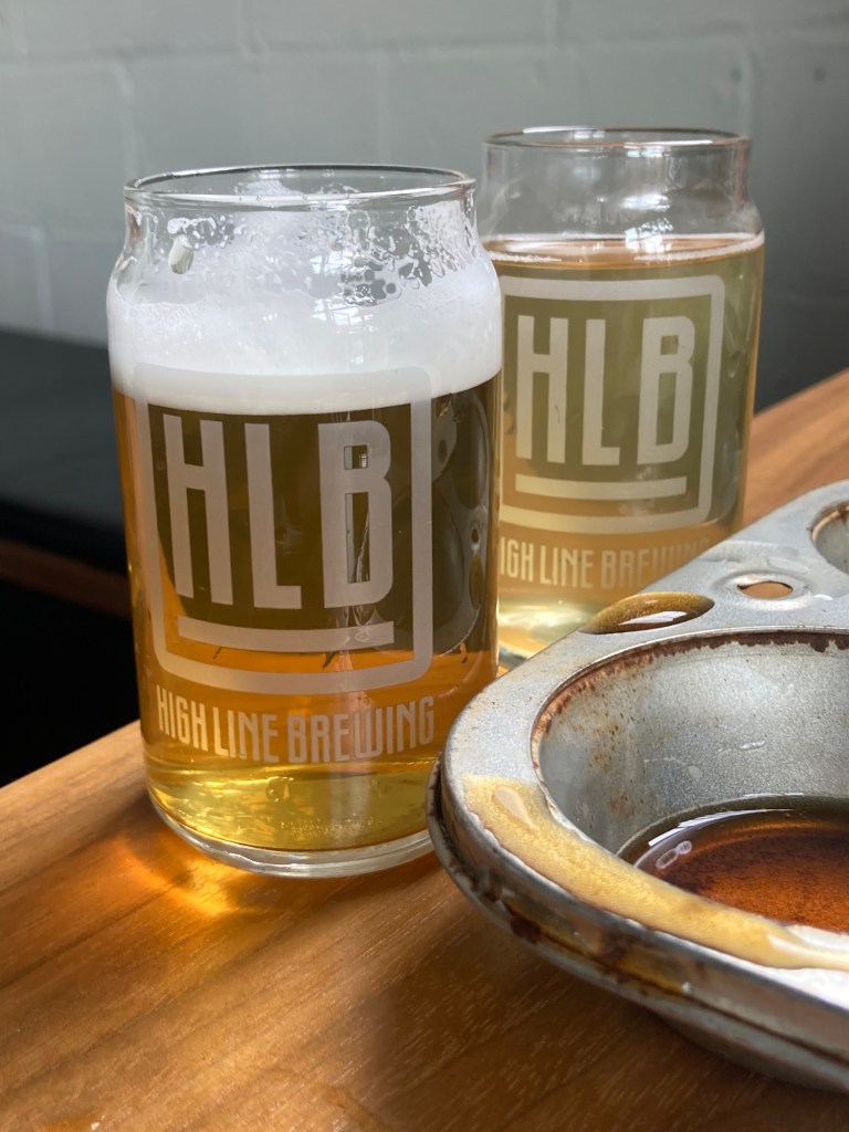
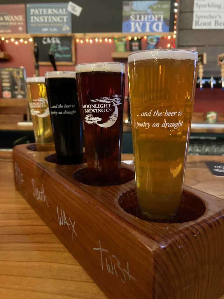
It was about a half hour drive inland, and as the sun went down I popped in to Moonlight Brewing. I’d seen their black beer called “Death and Taxes” in a grocery store and was intrigued – for personal reasons, as my Dad used to say that the only sure things in life were death and taxes (in a dry, dark humour kind of way).
The bartender was super nice and generous – gave me a sample of a can of beer that technically wasn’t supposed to be opened for a flight, then threw in an extra glass with the merch I bought (they had t-shirts for Death and Taxes!). The glasses were stand outs, with an inscription that read: and the beer is poetry on draft. And the brewery’s logo had a crescent moon – all of which was nice on the eyes.
I’m not a particularly outgoing person, but being on the road solo, you have an abundance of time to yourself, and I think that creates a social deficit, which I think made me more outgoing when around people than I otherwise would be. So I sat at the bar and asked the bartender how he’d describe Santa Rosa to someone passing through. He asked where I’m from, I said Ontario (not to be confused with the Ontario in California), and he said no wonder I’m so nice (Canadian stereotype?) and keep going – it’s a bit “hickville” here. I had hoped for a bit more information, but you get what you get.
Since it was getting late I tried to find street parking nearby for the night, and I ended up on a busy road by a marina in San Rafael. The spots were tight, the speed limit was high (and this spot was on a bend), and the only way in was parallel parking. I somehow amazed myself with my parallel parking skills – in a cargo van – on multiple occasions. It was a spot chosen for proximity and convenience at the time, somewhat close to San Francisco.
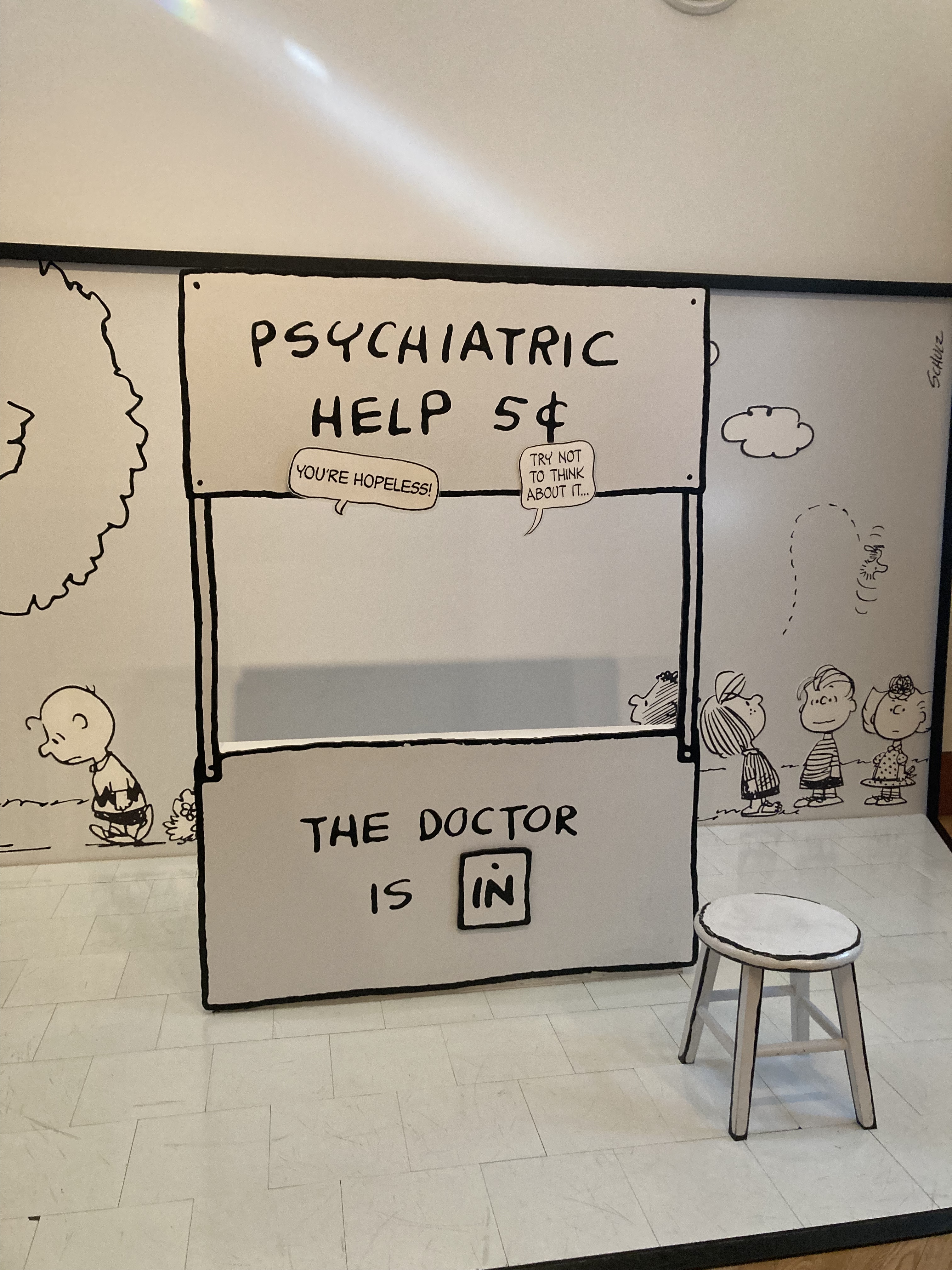
The Charles M. Schulz Museum was delightful. My Dad was a fan and it felt like being close to him. I would recommend visiting!
Santa Rosa, Spanish for Saint Rose, has a population of about 180,000, is the seat of Sonoma County, and is the biggest city that I hit on the northern California coast before getting to San Francisco.
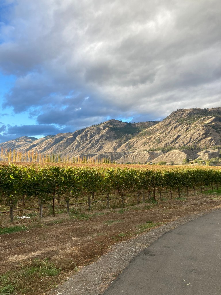
Sonoma
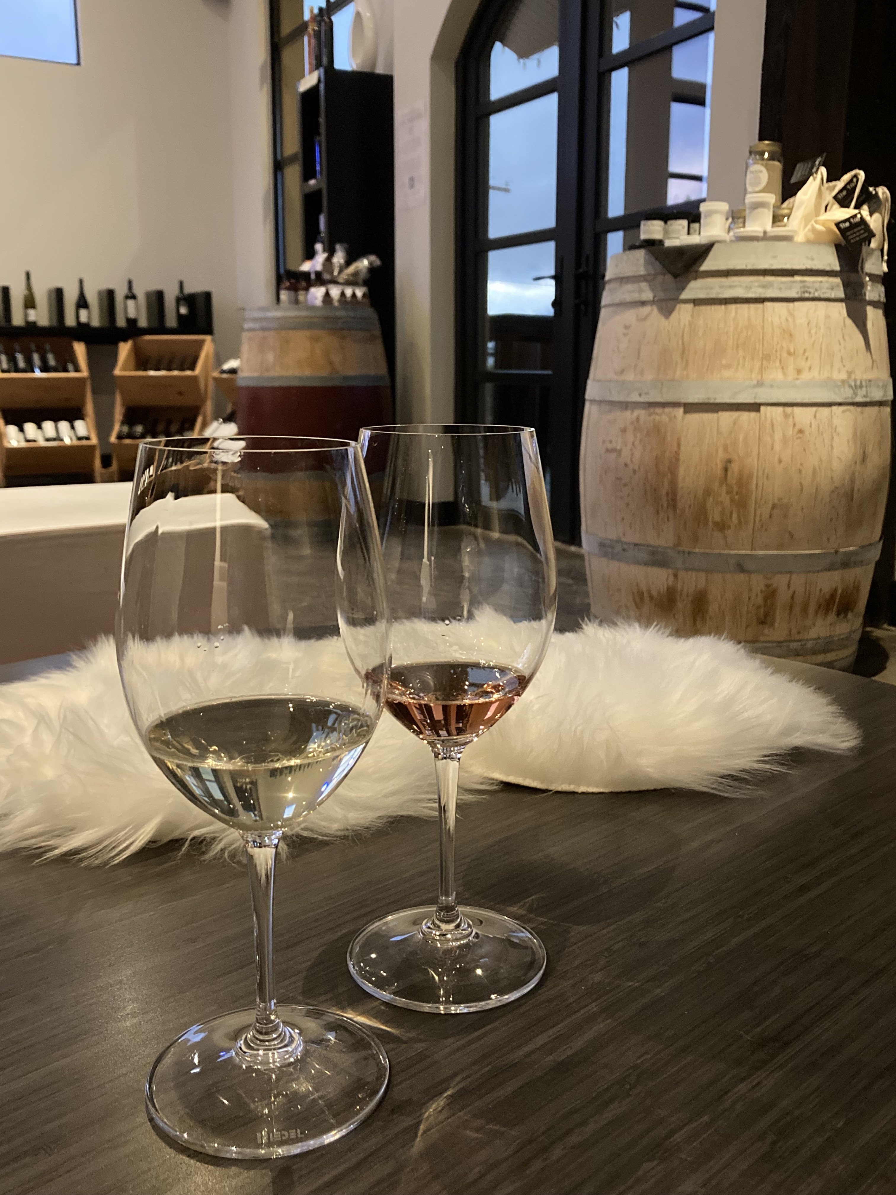
Sonoma Valley (along with nearby Napa Valley to the east), famed wine region, is part of California’s world renowned wine country in the northern San Francisco Bay Area. I will probably talk more about this when I make a post on beer in California. Sonoma itself has just 11,000 residents and lies about 45 minutes (40 miles) north of San Francisco.
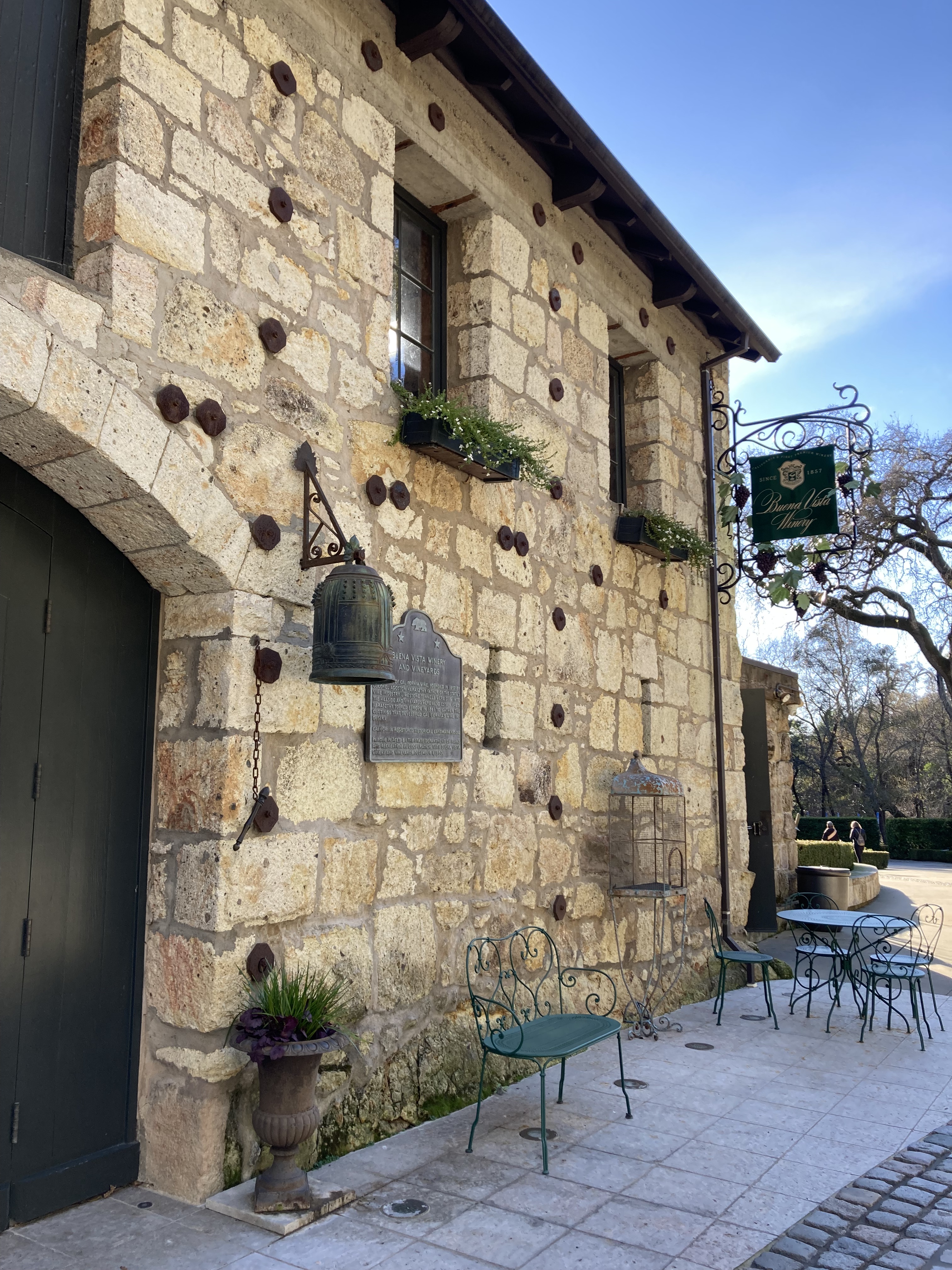
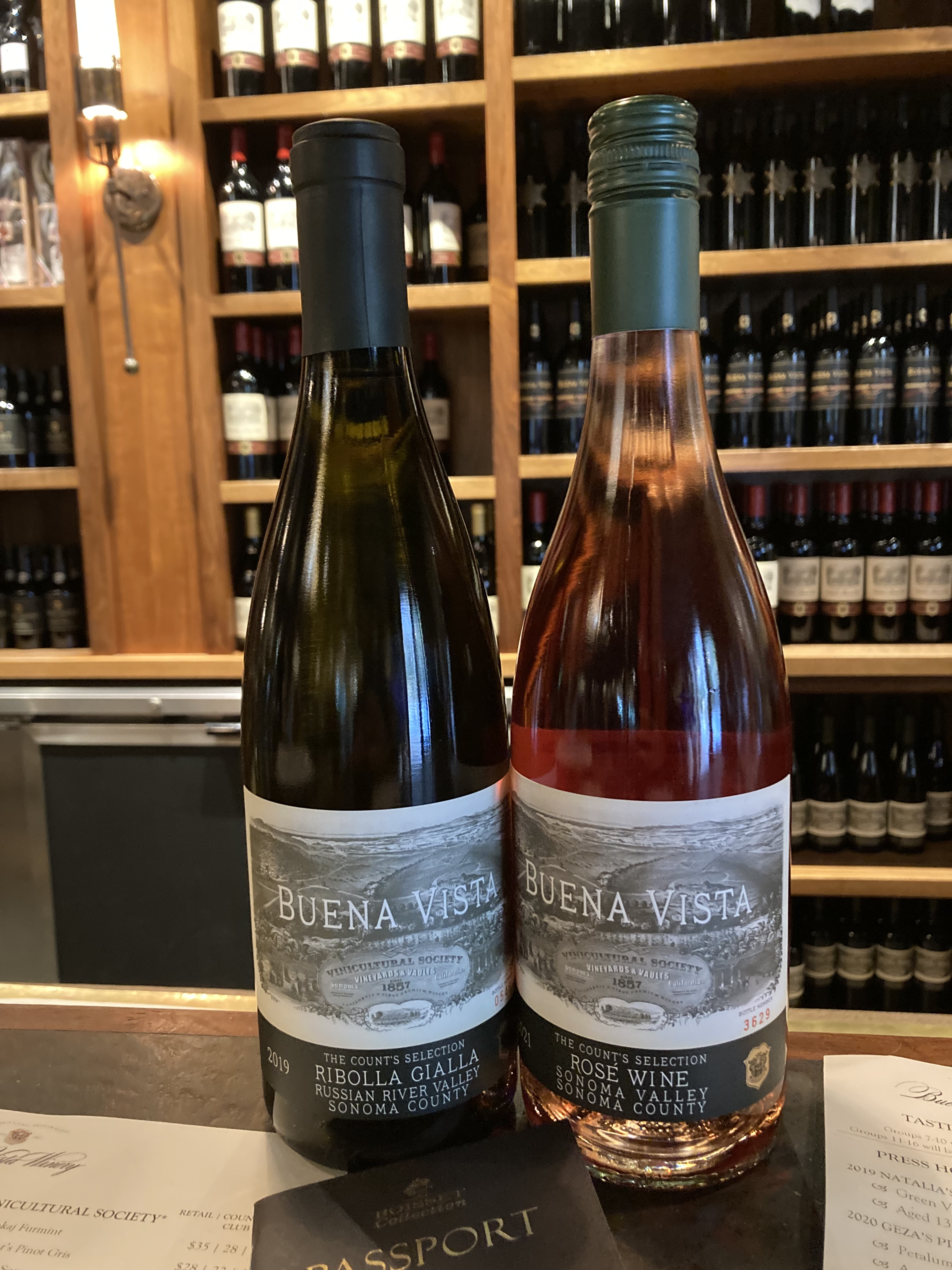
Somewhat fresh off the heels of exploring BC’s wine country in the Okanagan Valley, I couldn’t pass through the northern Bay Area without exploring a sliver of their wineries. I did a pit stop at Sears Point, a little marshland wildlife refuge and public use area, did some research, then headed to Buena Vista Winery.
The winery was really stunning. I did a wine tasting and took in the buildings and all the historical information.
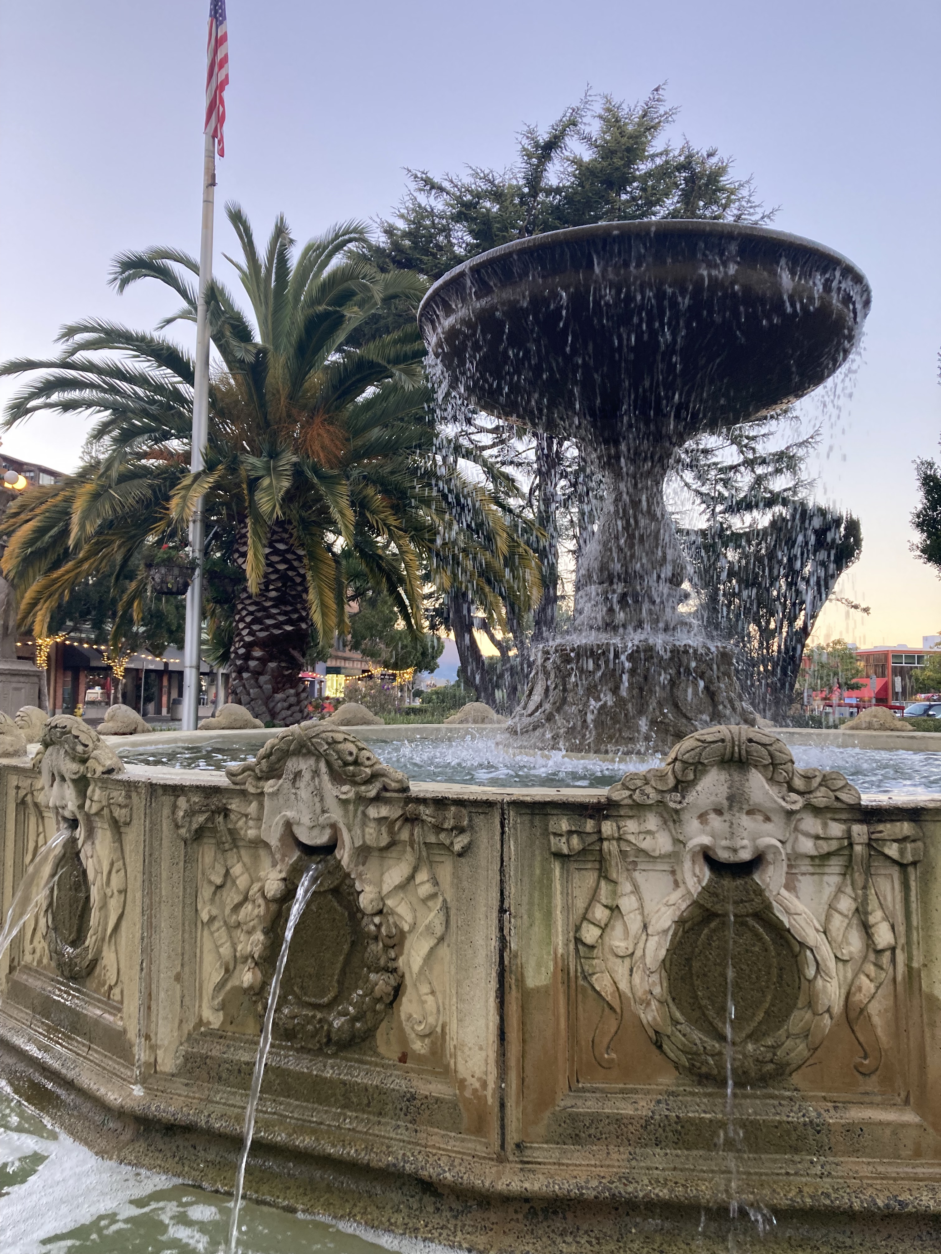
Later that afternoon I headed to Sonoma / Sonoma Plaza. This plaza was once a Mexican military station and Spanish mission village. There’s an 8 acre park surrounded by shops, eateries, and tasting rooms. It’s a really nice place to explore.
I grabbed a Croque Monsieur (shout out to a special family trip to Paris when I was younger) to go from a trendy and bustling establishment on the street, then snuck into a street parking spot for the night as intoxicated partiers meandered by into the wee hours.
While I don’t make a habit of residential parking, sometimes you get the vibe that a spot will be fine (and are pressed for time or convenience), and it was. These can also be some really pretty mornings (I aim to leave early) where you get a feel for the inner workings and vibe of towns – you don’t feel quite as on the fringes of society for a moment.
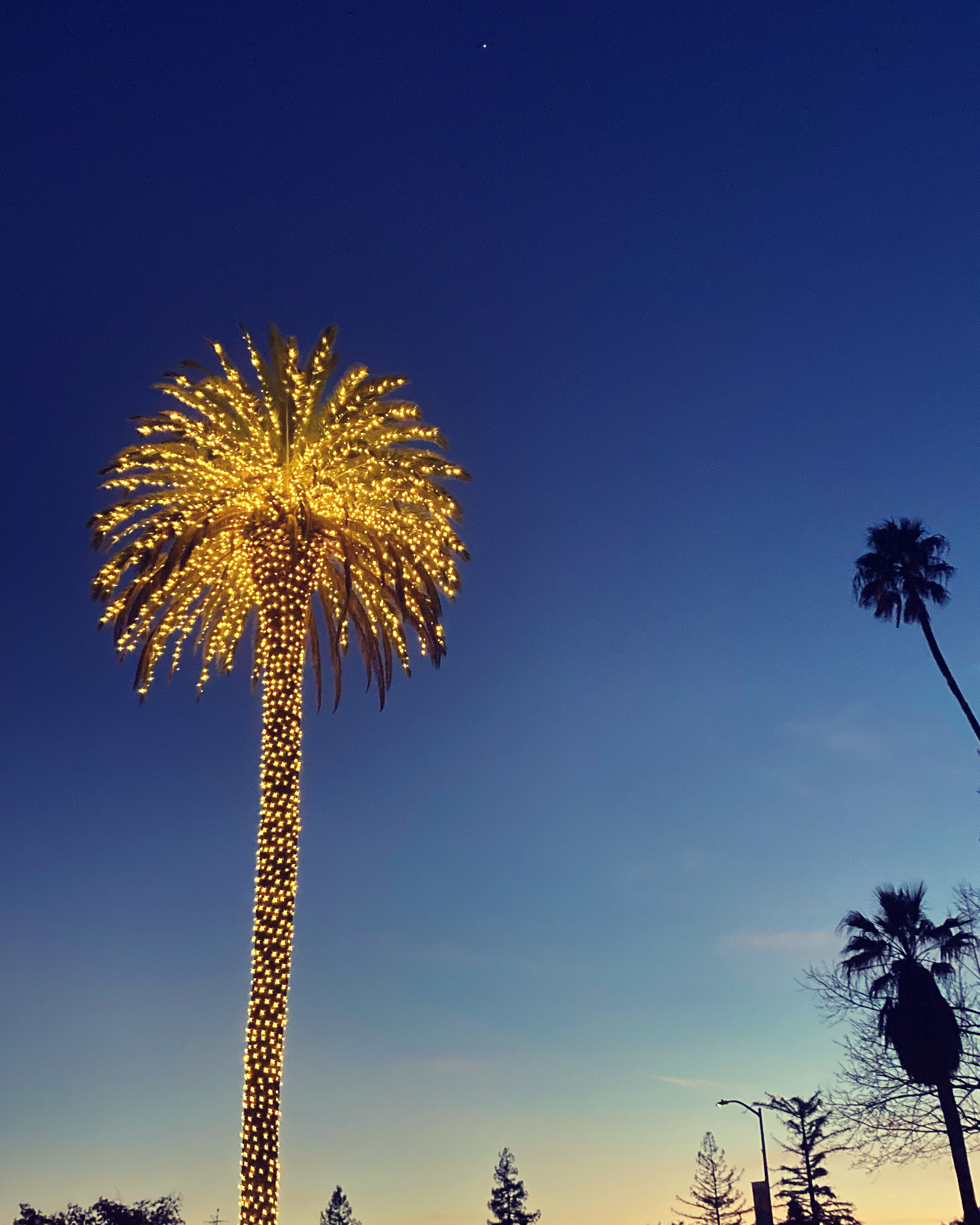
I remember Sonoma for its palm tree with string lights, its upscale, artsy shops, its popularity, its history, its wine, the pristine westfalia on the street, and the little coffee cart where I got my morning coffee.
I would definitely come back to Sonoma, to the plaza, to explore other wineries, and stop in to the Jack London State Historic Park (house, grave, trails).
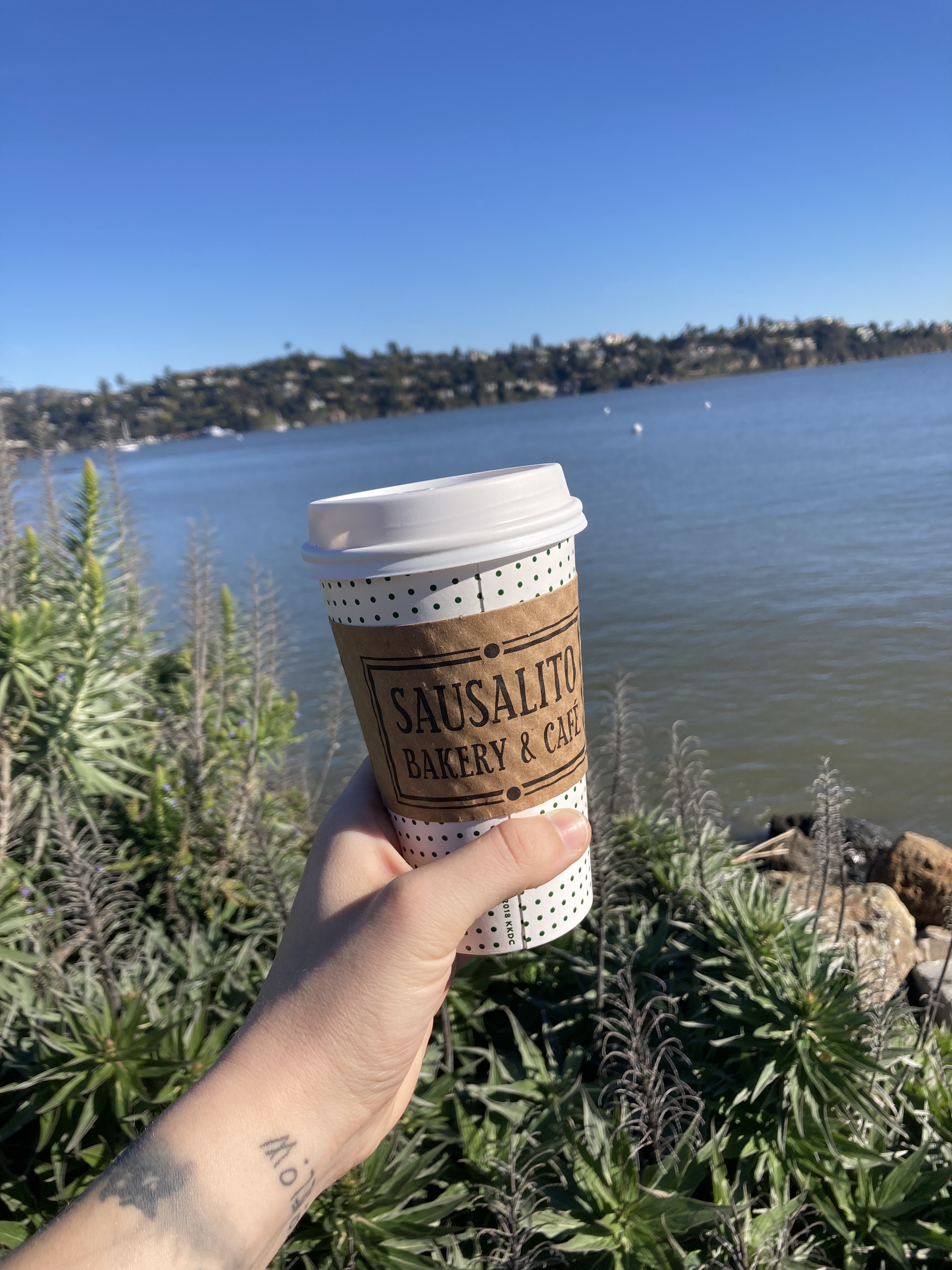
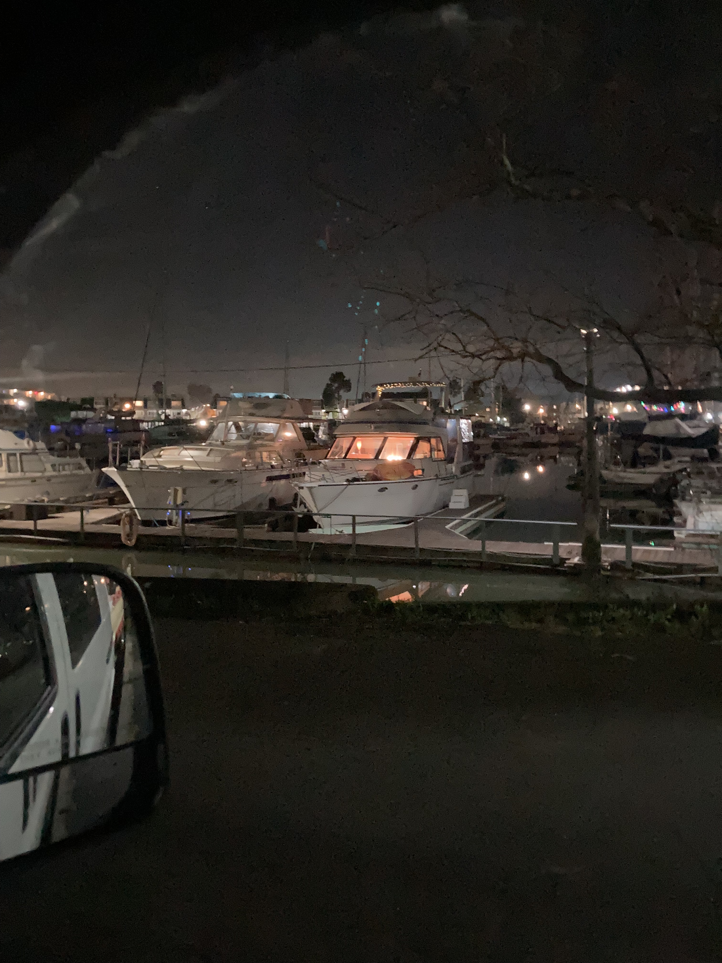
Sausalito
Put a bit of time between you and your travels and you are left with a feeling about the places you’ve been. Sausalito (along with Fort Bragg) incite a lovely feeling.
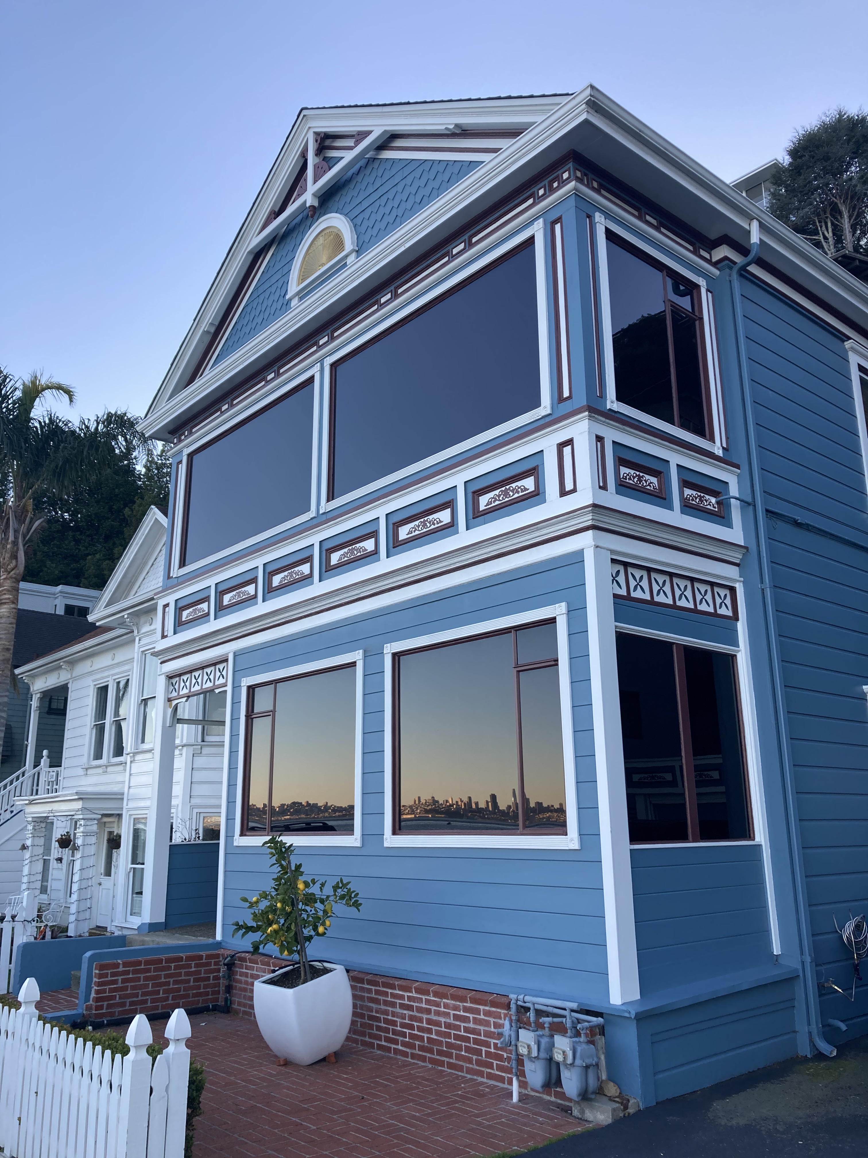
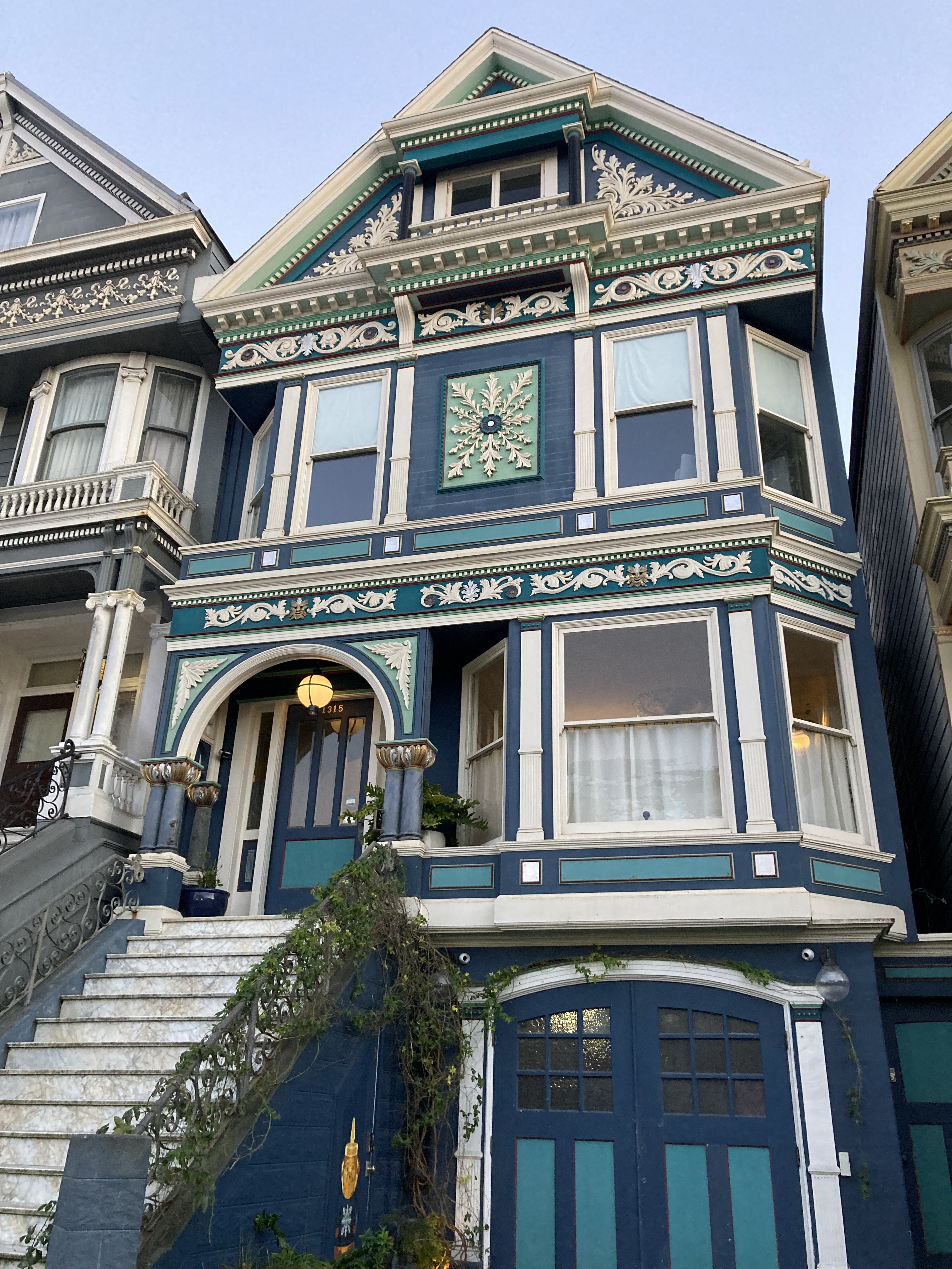
Sausalito has been described as a chic Mediterranean-feeling coastal town, just north of San Francisco. It has about 7,300 residents and a reputation for being wealthy, artistic, picturesque, and a tourist destination. It has a delightful little downtown area, the architecture of some of the homes gives San Francisco painted ladies, and you get a view of San Francisco across the water.
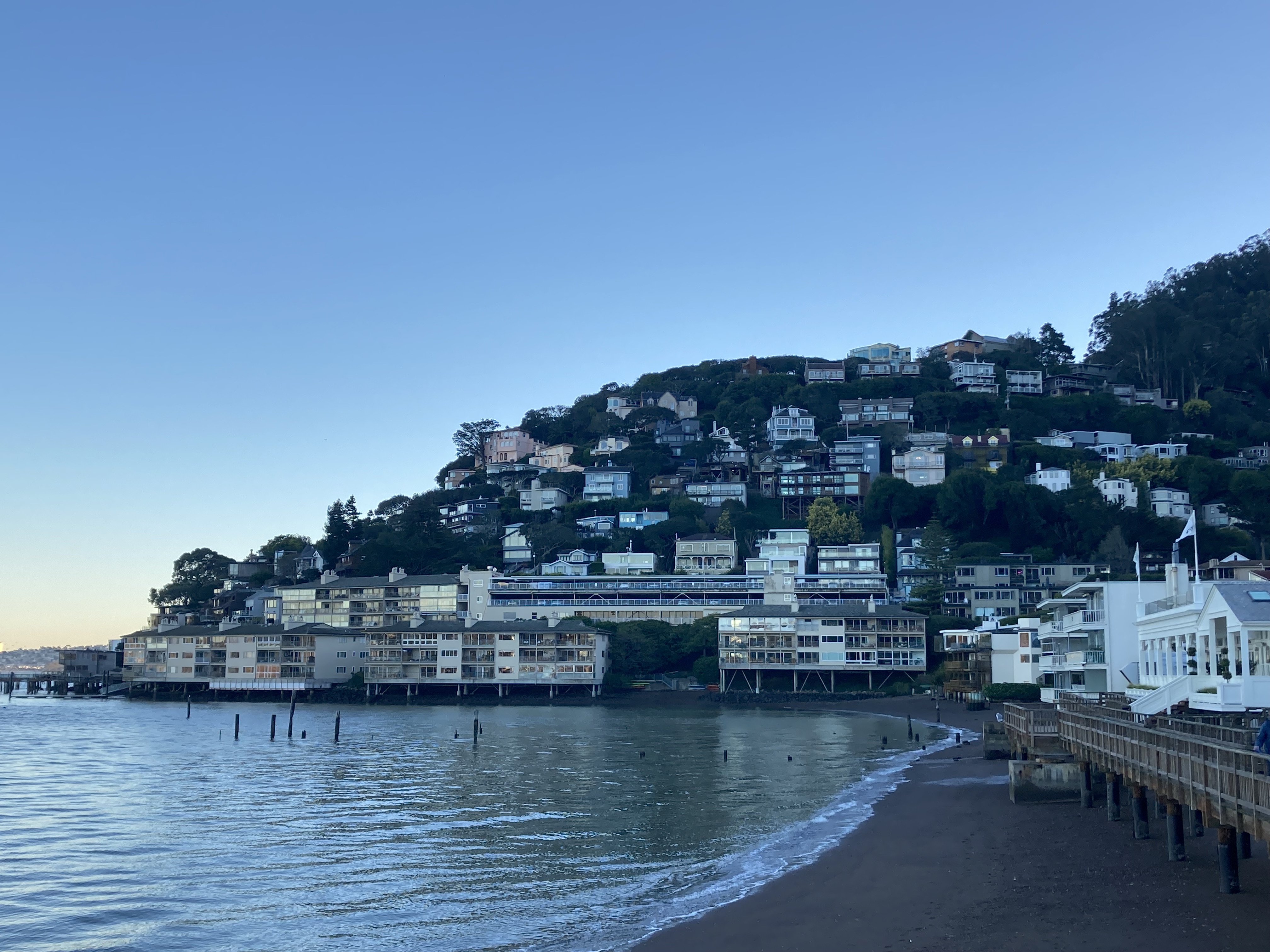
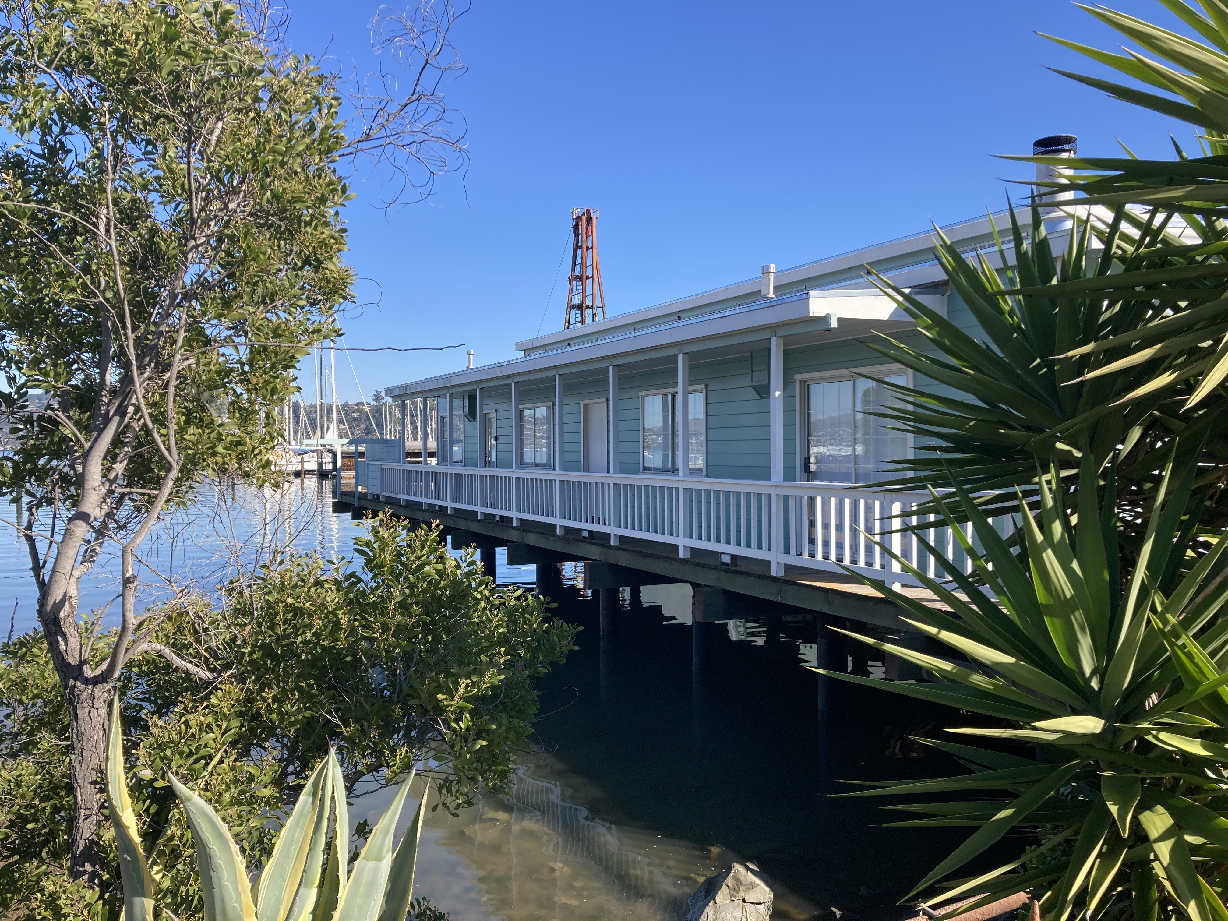
I really enjoyed my time in Sausalito. I came back here several times while exploring the surrounding areas – San Francisco and Golden Gate National Recreation Area. It felt safe and it was well kept. I particularly enjoyed walking along the boardwalk on the water’s edge, taking in San Francisco’s sky line and Angel Island, as well as the houses on the hills. You can actually take a ferry over to Angel Island for hiking, though I did not. Lappert’s has a reputation for great ice cream, which I did try (I’m not a huge ice cream person so I can’t gauge, but I enjoyed). There are waterfront restaurants and seafood. There are gift shops and floating houses. And there’s Plaza Viña Del Mar fountain and park (small but pretty) and Dunphy Park (bigger).
The Dreaded Knock
As nice as Sausalito is, expect police presence and parking enforcement to be stricter. Of all my time on the road – Sausalito is the only place I got “the knock”, and I got it twice.
I suppose this was an initiatory experience of sorts.
The first time was my own dumb fault. I was street parking for the night and it was dark when I arrived and I guess I missed the lines on the pavement. Just before going to sleep I saw lights shining in through my windows and heard voices. At first I was spooked, until they announced themselves as police and I went to the front cab. They had been pointing flashlights into the van, to see if anyone was inside. I will say – the officer I spoke to was really nice. They just told me I had to move up a space.
The second encounter was not so nice. I had parked at Gabrielson Park while getting ready for the day. I was in the back of the van putting my hair into braids and suddenly I see a man press his face up to the side windows. No announcement that they were police officers at first and I couldn’t see their uniforms so I genuinely thought some weirdos were sizing up my van for theft or something. Then I get a knock on the front window. They essentially tell me that I can’t park there (it was free parking and I assume they want people in Sausalito to pay for parking). They say they’d also notified the RV owners a few spots down. I told them I was planning on leaving soon. Then one of the officers starts questioning me based on my license plate being Canadian, asking about my travels, and says, “you’re going to leave though right?” She meant leave the country. I said of course and smiled. But on the inside I was upset. I get where it was coming from, but way to make people feel unwelcome, even criminal.
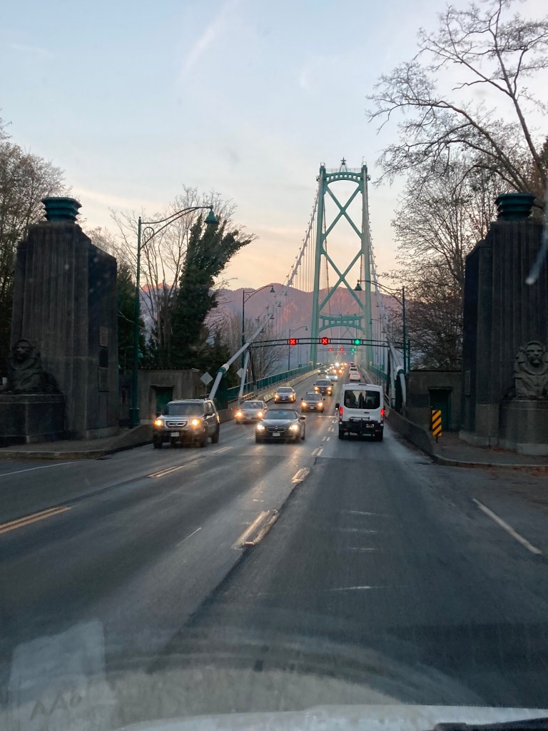
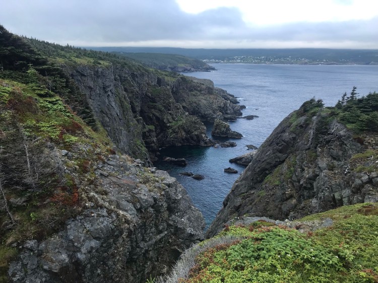
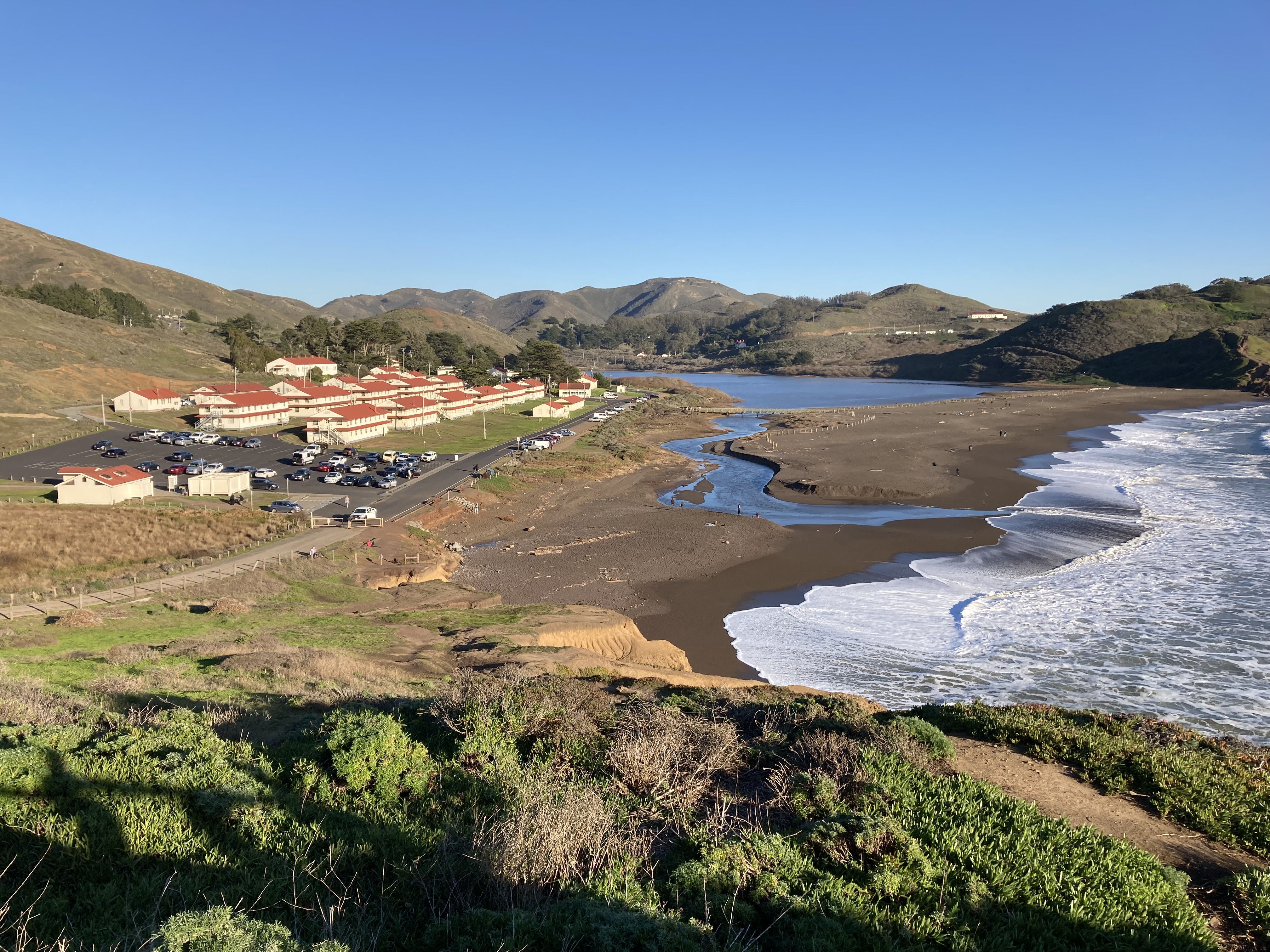
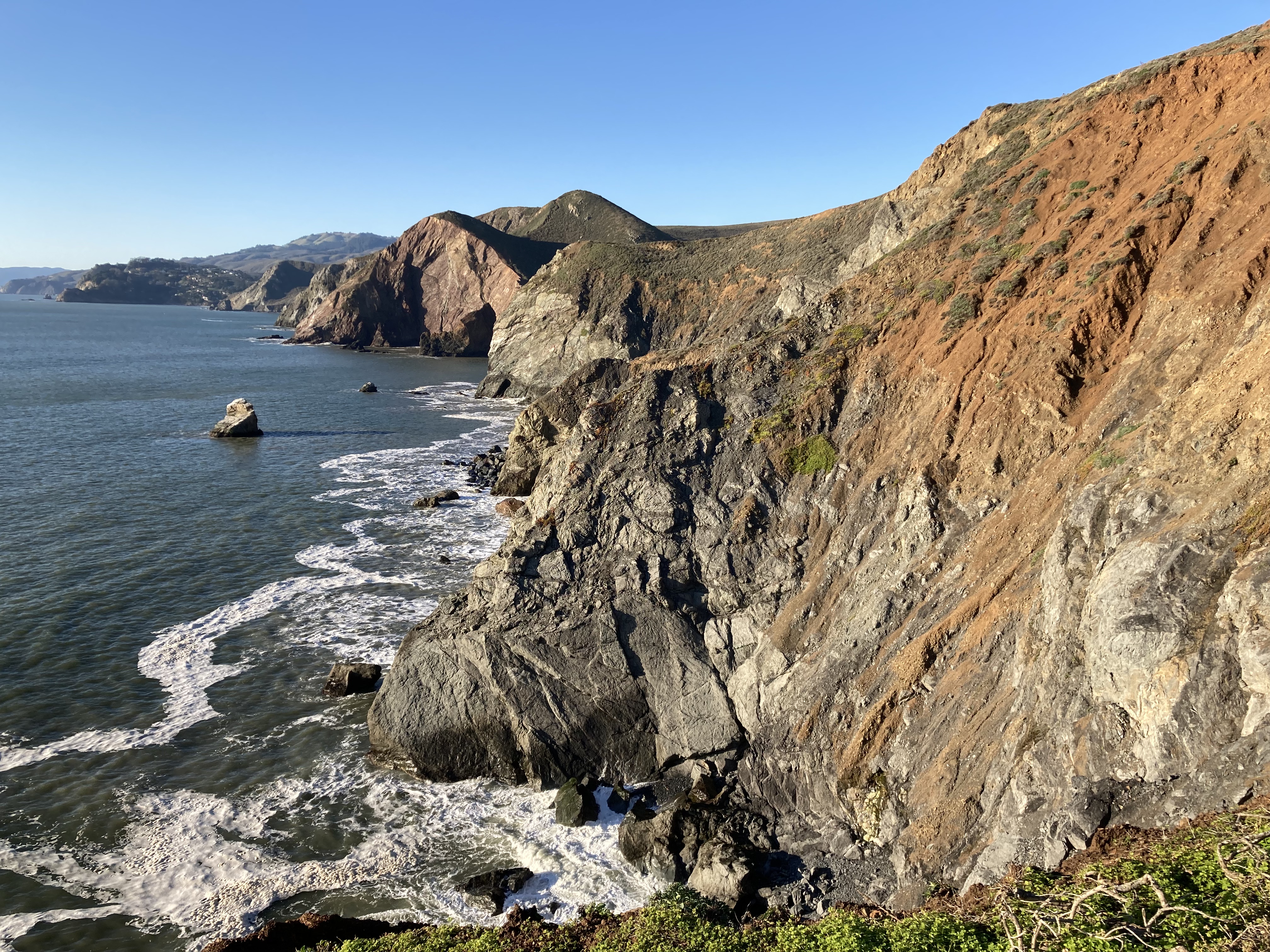
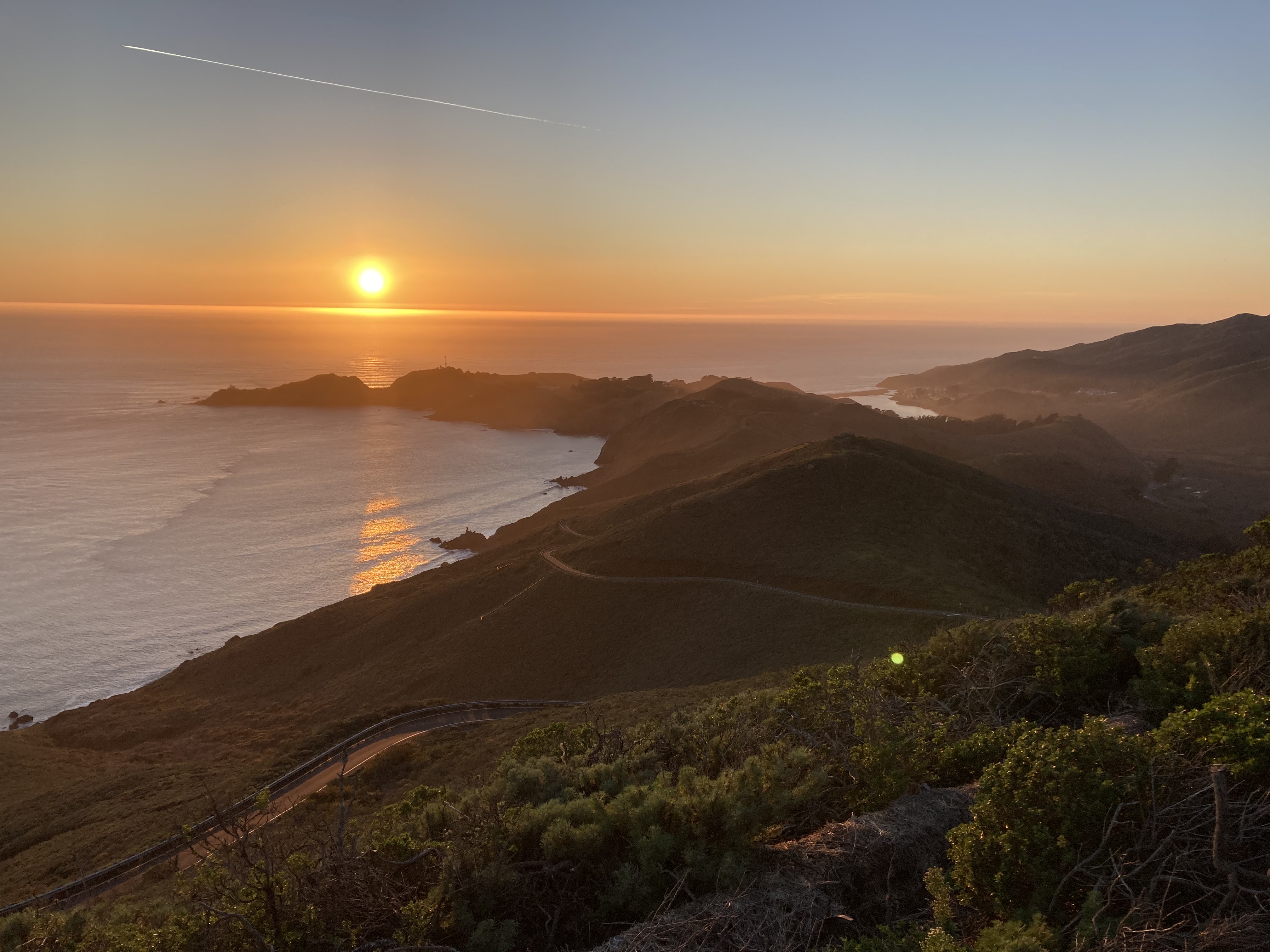
Marin Headlands (Golden Gate National Recreation Area)
Continuing my exploration of the Bay Area north of San Francisco – Marin Headlands was a must see for coastal and Golden Gate Bridge views.
Golden Gate National Recreation Area encompasses many areas both north and south of Golden Gate Bridge, including (but not limited to):
- Muir Woods National Monument (redwoods, north of SF and Marin Headlands, huge trees, some nearly 260ft high, stoic sentinels nearly 1,200 years old; need to pre-book a parking space).
- Marin Headlands (west of the northern end of Golden Gate Bridge).
- Point Bonita Lighthouse (within Marin Headlands).
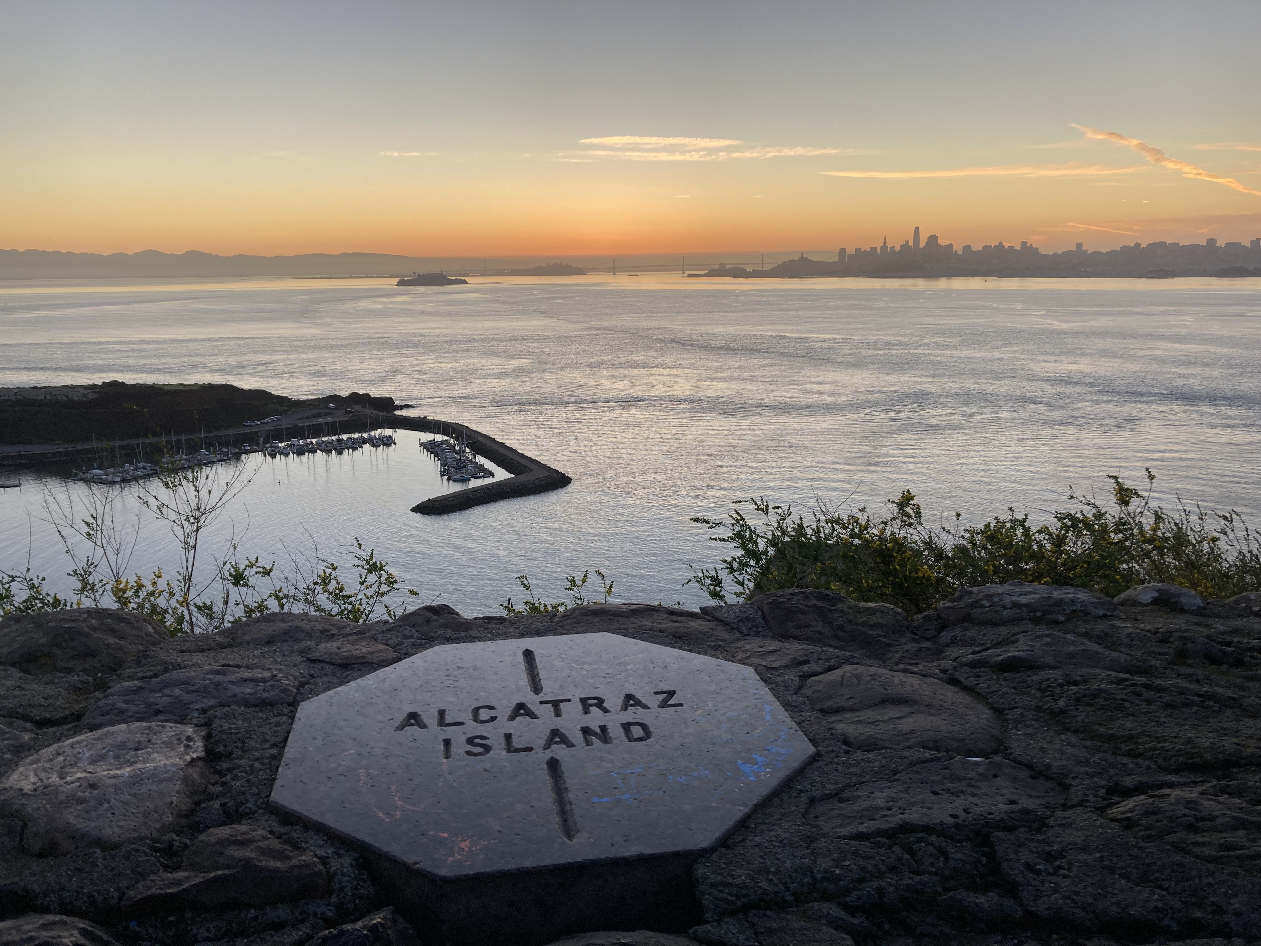
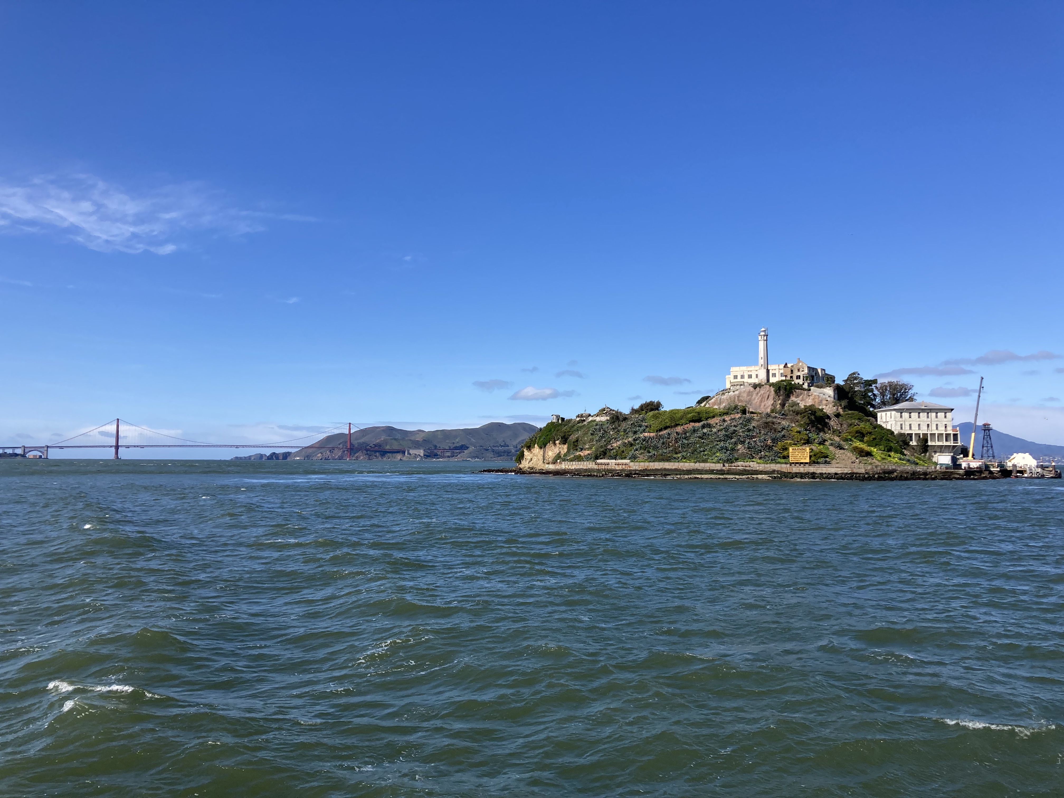
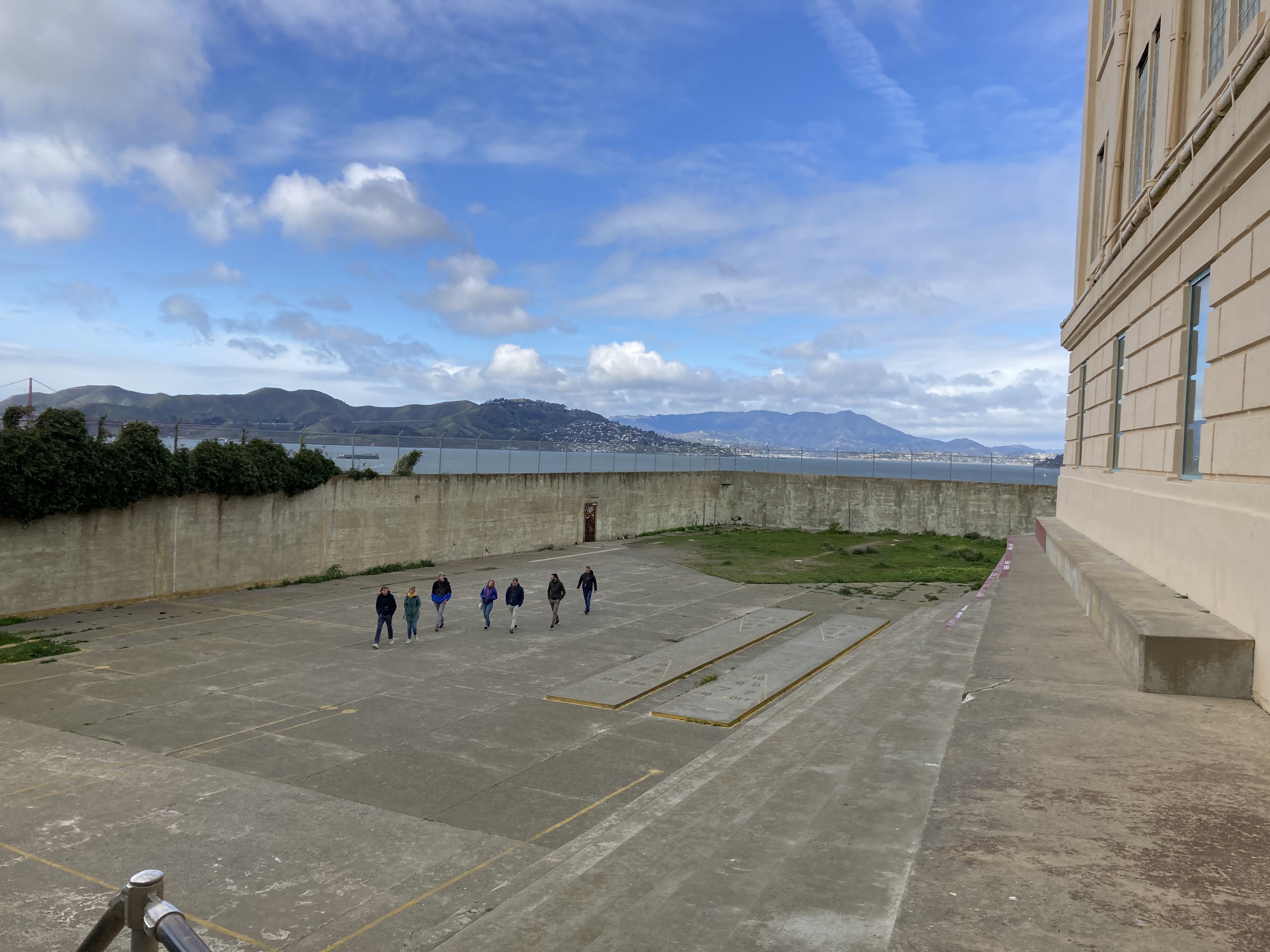
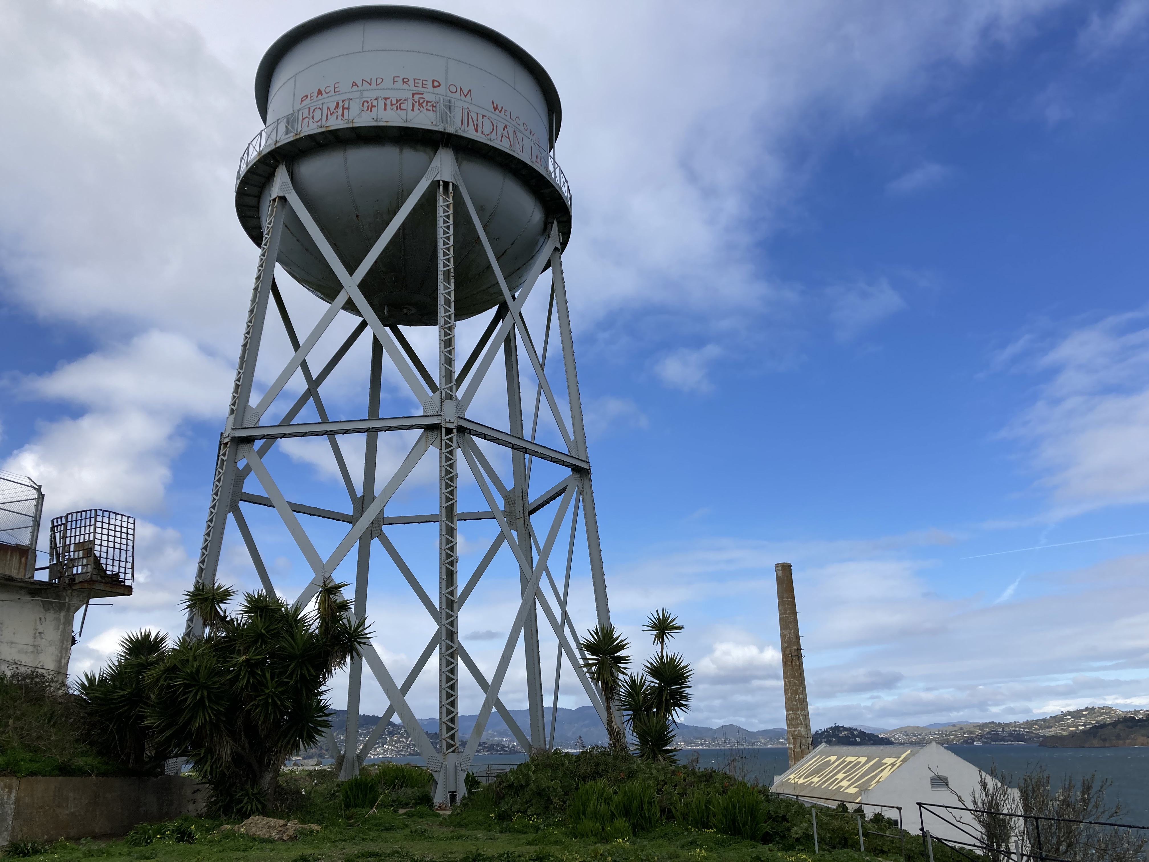
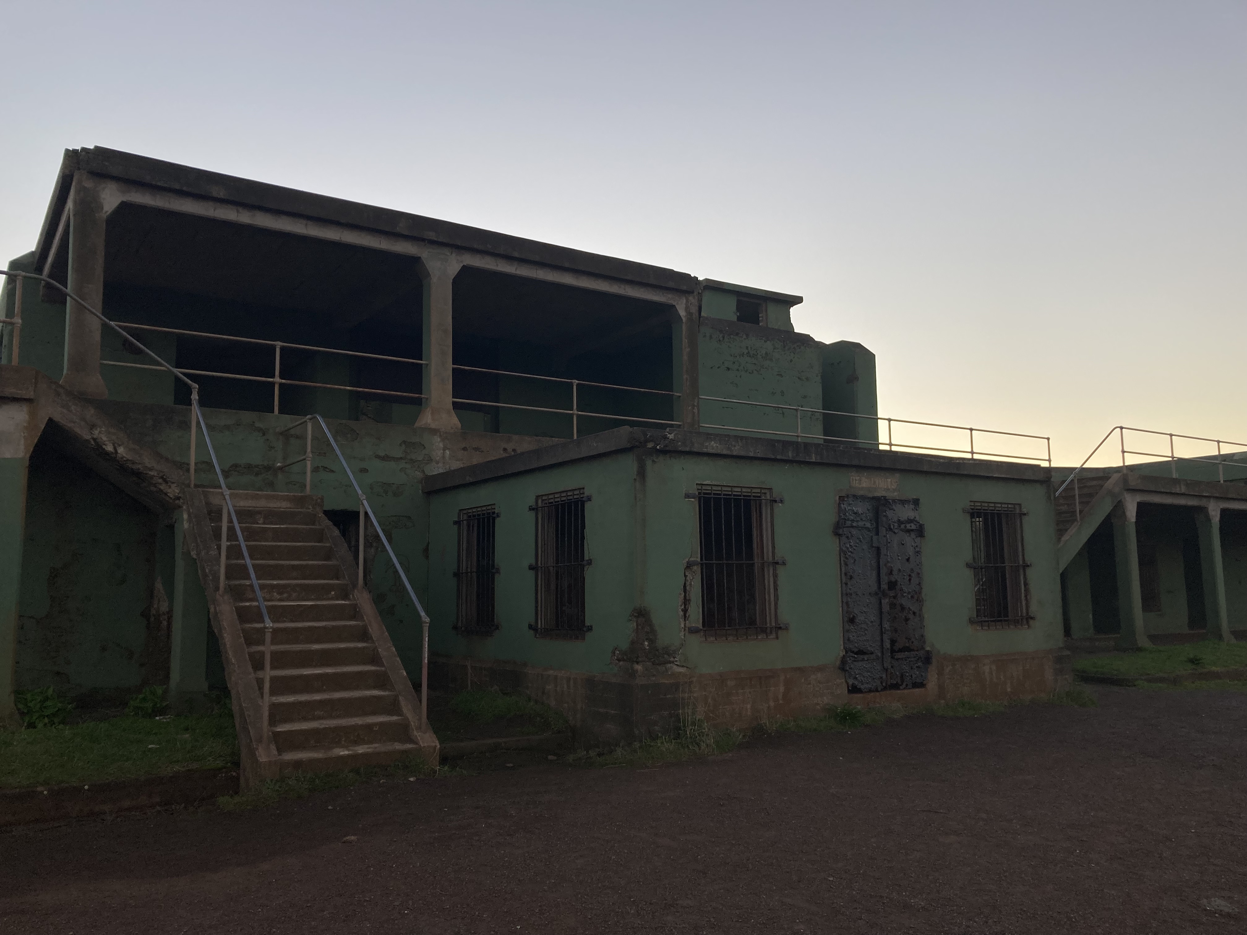
- Alcatraz.
- Presidio of San Francisco (large park, former US army post, southern edge of Golden Gate Bridge).
- Fort Point (civil war era brick fort below the southern end of Golden Gate Bridge).
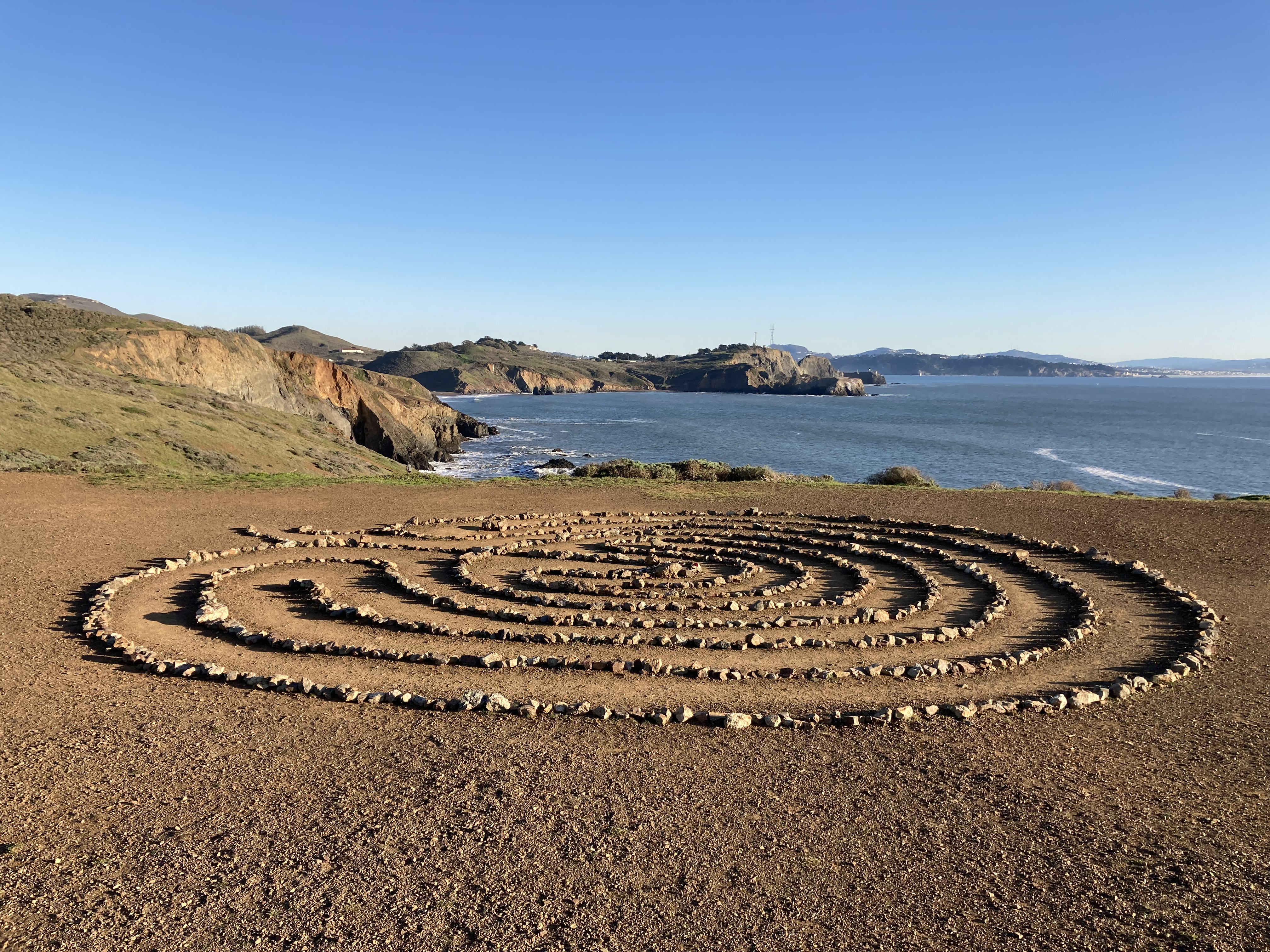
- Land’s End (NW corner of the SF peninsula, used to have a well-known labyrinth, Sutro Baths ruins).
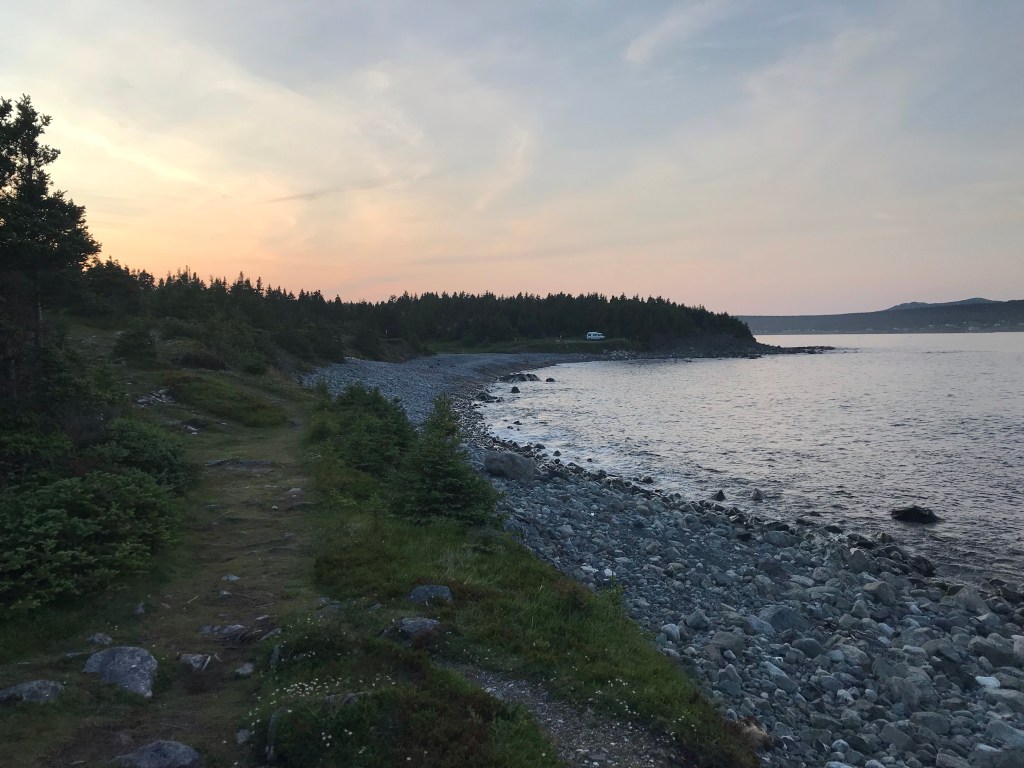
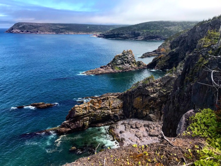
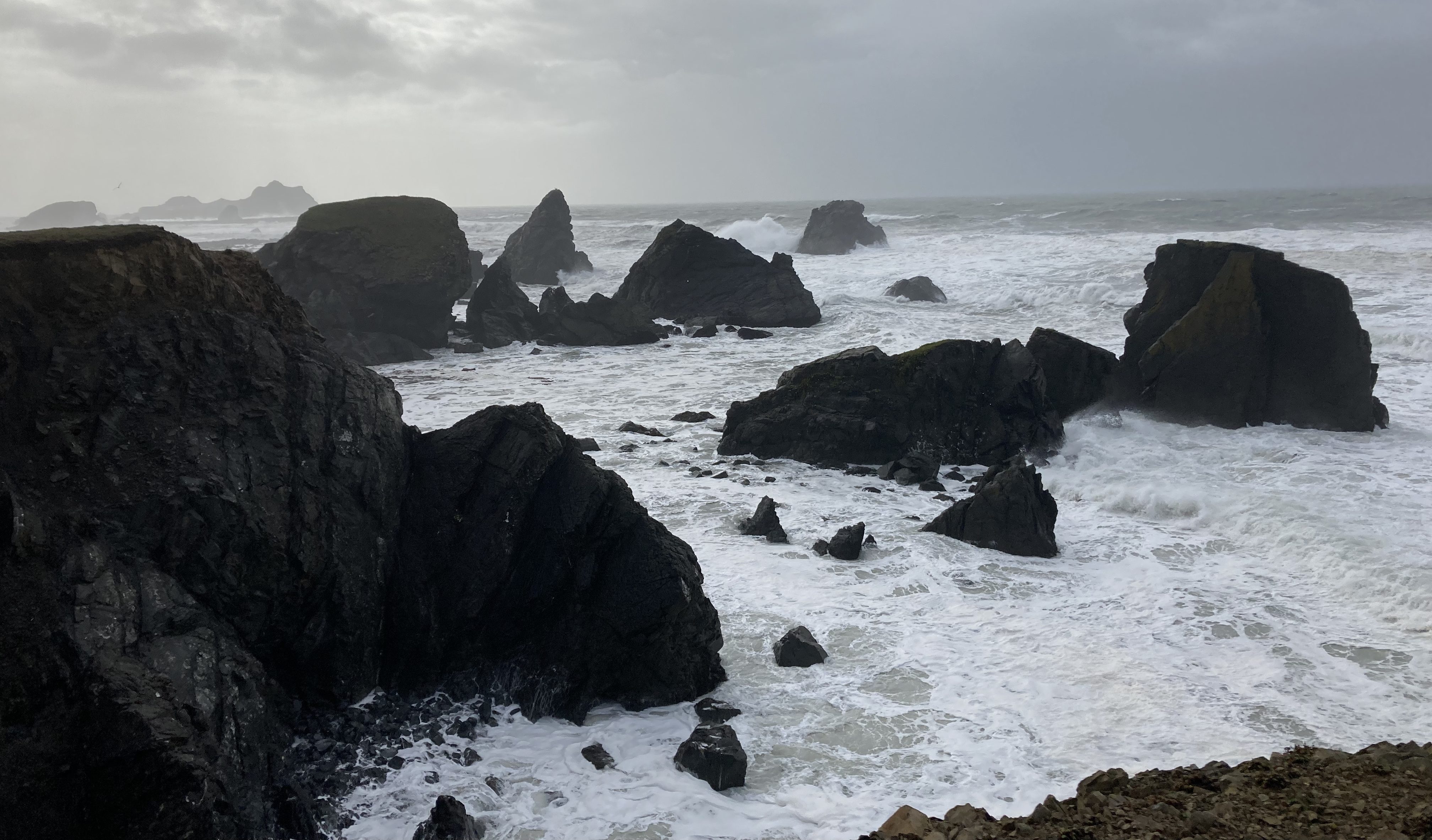
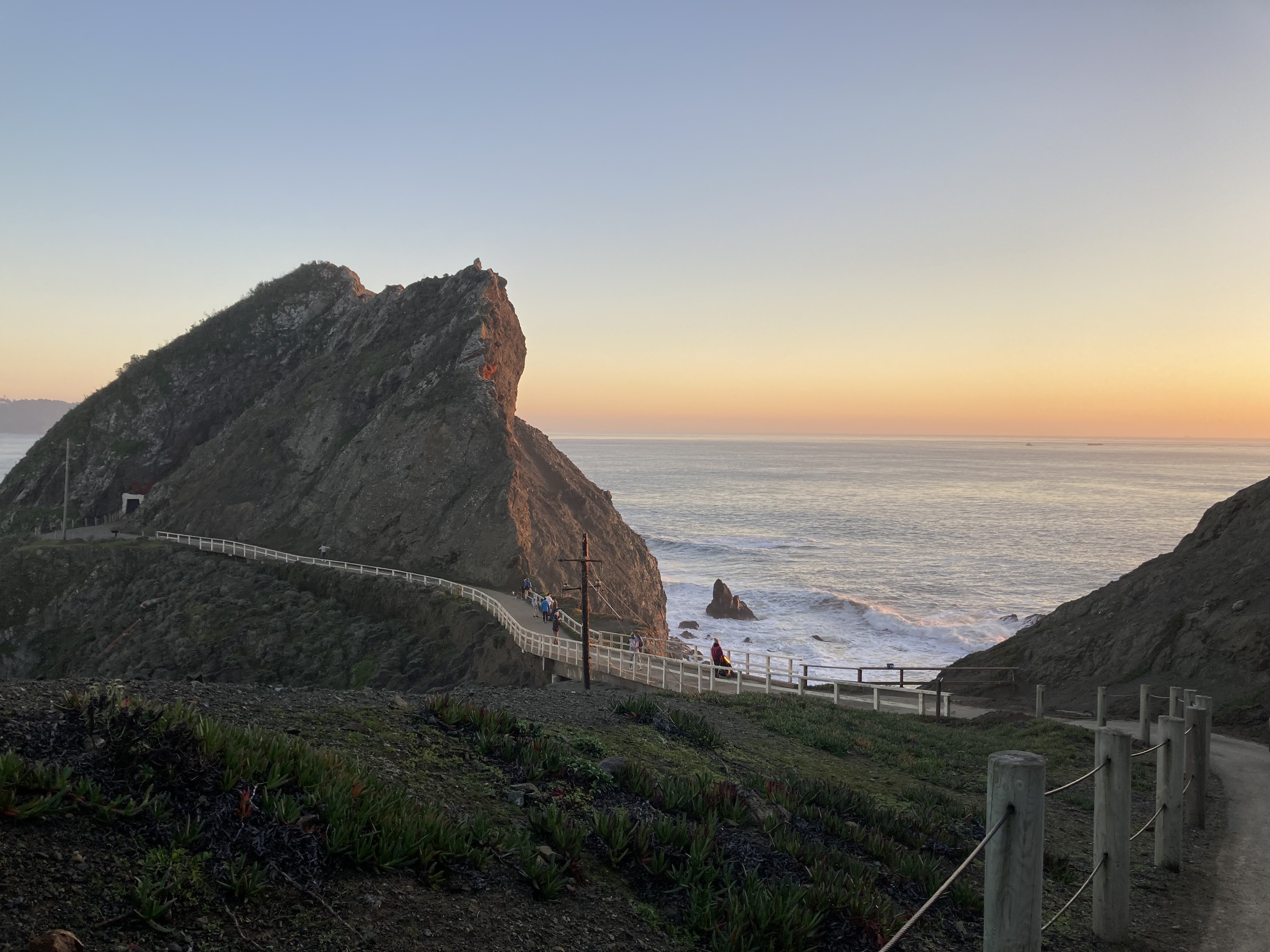
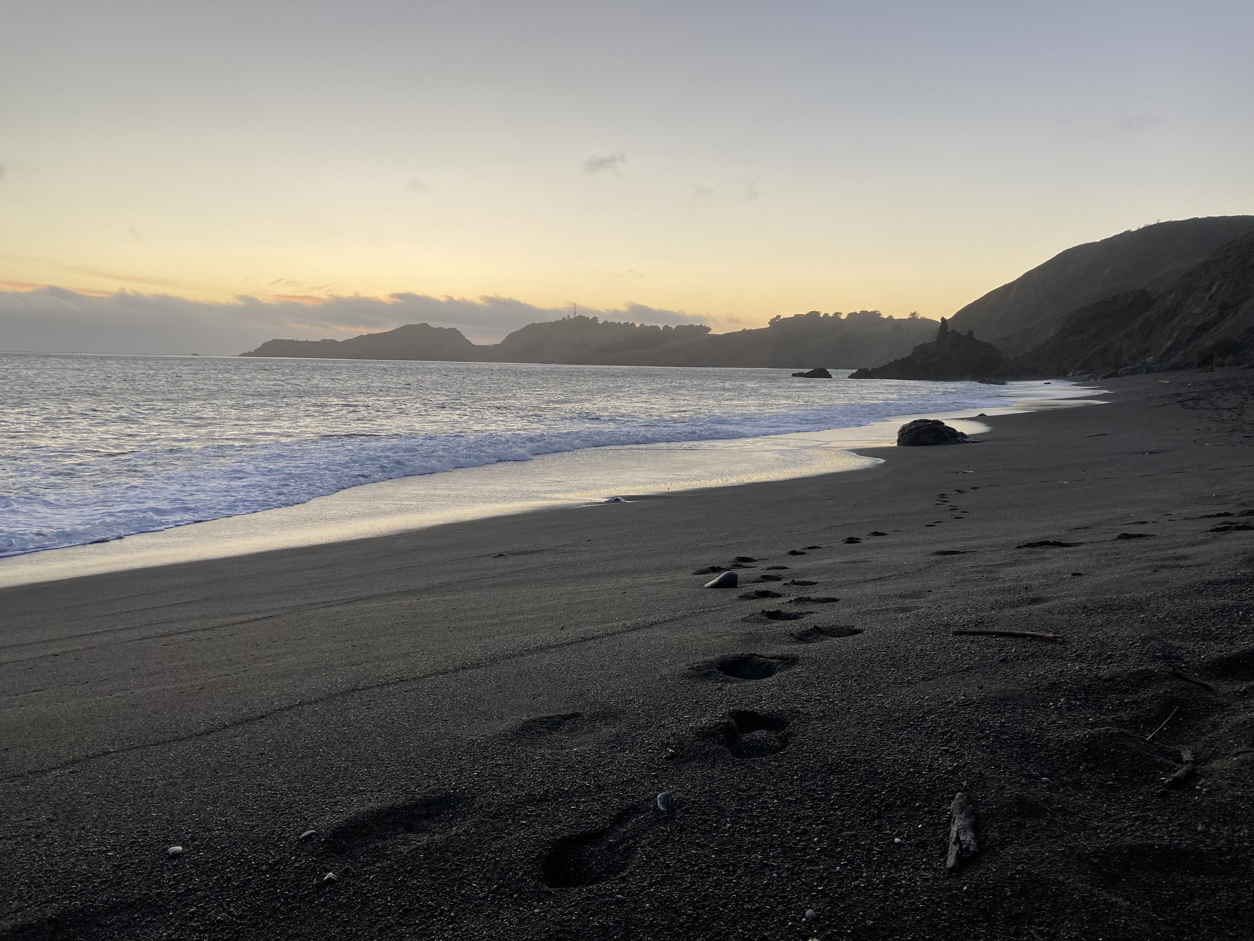
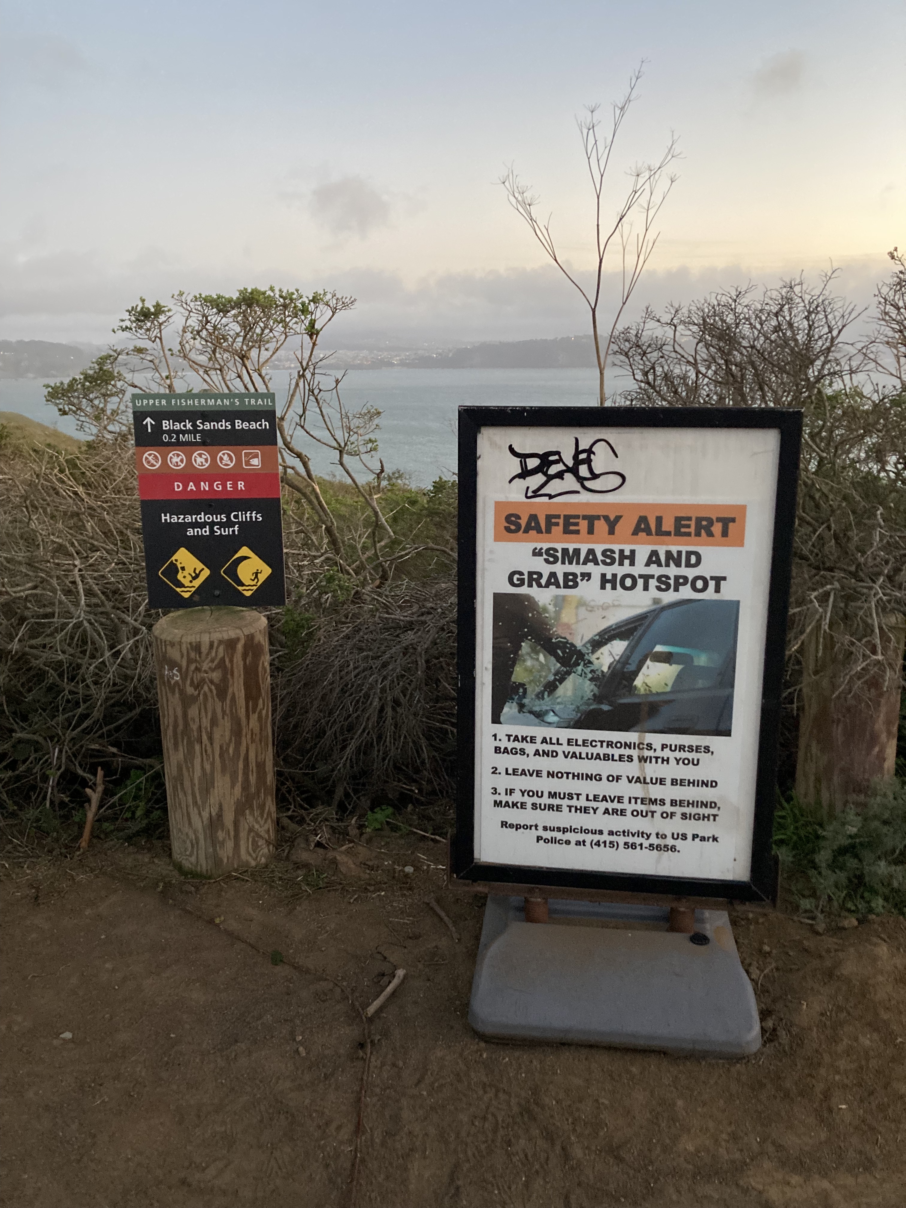
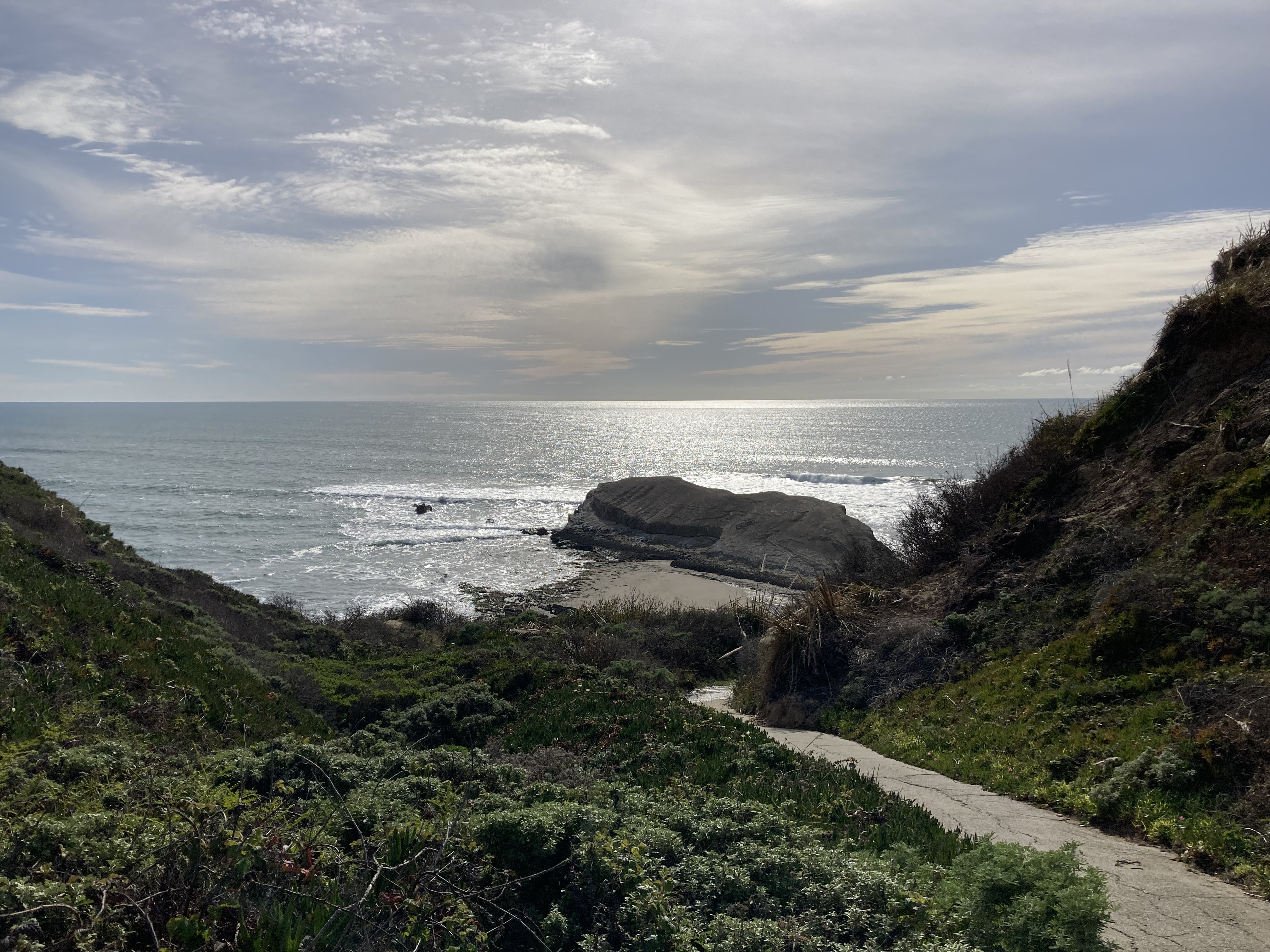
I spent a good chunk of time around Marin Headlands. There are various parking lots and trails (like Batteries Loop Trail). There are old army bunkers. People go surfing at Rodeo Beach and I followed a trail from here to some lovely elevated views of the shoreline and a labyrinth that served as a replacement for the one I had hoped to see at Land’s End. I tried to see Point Bonita Lighthouse, but the entrance was locked – there was still a cool rock formation and I watched a beautiful sunset here. I found a beach with black sand – I dubbed it Goth Beach, though it was aptly named Black Sands Beach. And I drove the winding roads to the most amazing view points (like Battery Spencer and Hawk Hill) of the Golden Gate Bridge and San Francisco across the bay.
Olema & Half Moon Bay
I have a habit of “leaving the best for last”, and this habit is reflected in the way that I circled San Francisco like a raptor before going in for the kill. Not that the surrounding areas didn’t have their own draws, but I can look back and find it a bit comical how I was so close to SF for so long before actually exploring the city.
After enough street parking in San Rafael and Sausalito, the itch for a campground started creeping in. And it was really nice to get out of the greater city hub.
First, I stayed a night at Olema Campground, which is in Marin County, northwest of SF, by Point Reyes National Seashore. This was about an hour’s drive on slow, winding roads, and if I remember correctly there were downed trees and some flooding on those roads at the time. The campground had a lot of standing water and mud, and it was pretty deserted – unsurprising, as it was chilly and the wet winter season. I do remember there being private bathroom/shower rooms which was a plus, and their laundry facility was nice (these are the things you come to appreciate and remember on the road). Looking back, or more accurately – looking at the website – I wish I’d explored Point Reyes National Seashore. It looks stunning.
A few days later I stayed at Half Moon Bay (Francis Beach) State Campground, which is about 45 minutes south of San Francisco, and borders the Monterey Bay National Marine Sanctuary. While Olema was inland, Half Moon Bay and their campground were right on the ocean.
Half Moon Bay is a small coastal town of about 11,000 people. I went for a run here along the California Coastal Trail and some beaches, which was so nice. But I have to say – state campground washroom and shower situations are not my favourite. Usually the showers are token or coin operated, they don’t provide hand soap in the washrooms (I’d bring in my own little bottle of soap), and these are not heated comfort stations.
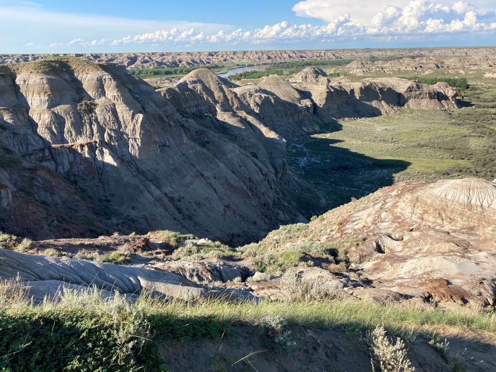
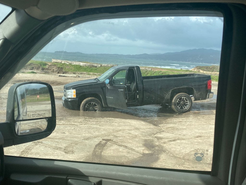
In the afternoon I visited Redondo Beach in Half Moon Bay – parking was atrocious, to the point that two cars got stuck in mud puddles in the short time I was there. I gingerly drove around, trying to figure out where to park the van, as any sane, level spot was taken. Then this truck comes in and just goes for it directly towards one of the potholes – I watched incredulously as this man, who clearly thought nature would not win, took a hit to his ego. Eventually cops showed up, and I assume at some point a tow truck. I settled on parking between potholes and took in the coastal views. It was quite beautiful, with the cliffs reminiscent of Alberta’s badlands. When I left I posted a google review to warn others.
Shootings
A few weeks before passing through Half Moon Bay I had heard about a mass shooting that had happened here.
Hearing about mass shootings in the state you’re in can certainly be rattling. Especially, I think, because as a Canadian we rarely have any. And I heard about a few that happened in California while I was there. Half Moon Bay was the closest though, just about 40 miles from me at the time.
Driving to Half Moon Bay, it was on my mind. I can’t remember why I didn’t avoid the area, or what landed me there. It was just one of those things, where you happen to pass through a place. My impression being there was that, had I not heard about the shooting, I wouldn’t have felt uncomfortable. And indeed, Half Moon Bay has a low crime rate. Which goes to show – violence can happen anywhere. You just have to be aware and prepared the best you can. Be in the know, be observant of your surroundings, and trust your gut.
I was in the habit of looking up the crime rates for places before passing through, and if the rates were exceptionally high I would steer clear. For example, in San Francisco I knew that my biggest concern was a smash and grab on the van. And I had made note of the worst neighbourhoods, and made a point of not walking through them when. The touristy areas all felt pretty safe.
Mill Valley
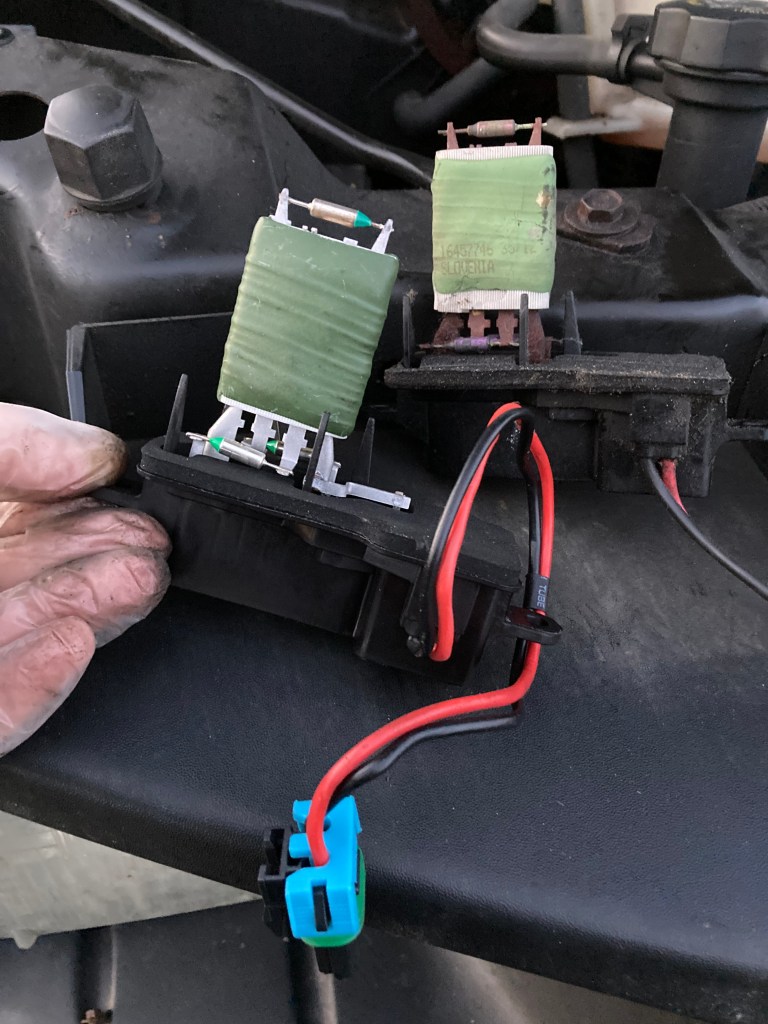
Mill Valley was nice. Located 14 miles north of SF, with a population of about 14,000. I ended up there to see a mechanic.
Back in Oregon when I’d gotten a repair done on the van, I was told that they thought I had a slow leak in my oil pan gasket. I’d been keeping an eye on any drips under the van, which happened here and there. I was keeping an eye on my oil level and oil pressure, which had been fine. A lady in a grocery store parking lot saw me looking under the van one day and recommended a mechanic in the area. I looked them up and they seemed good, so I gave them a shot. Now that I think about it, they said they couldn’t get me in for a while, and that was why I had stayed in the San Francisco area for an extended amount of time.
The day finally came and I dropped off the van and went for a walk around Mill Valley to explore while I waited. I grabbed a coffee and walked around a little “outdoor mall”, then found a trail in a nearby park. I remember the trees had steam coming off of them as the morning sun heated their coat of frost.
To my delight, the mechanic said I did not have an oil pan gasket leak. He showed me some photos and told me eventually I would need to have an involved repair done – but I would be fine for now and he didn’t charge me a cent. I could see why that lady at the grocery store recommended him. He also told me that mechanics get more expensive the further south you go (as did the gas prices). I kept an eye on things, and a few years later I still haven’t had any major issues (knock on wood). My theory is that there are some gaskets with cracks. I see a few drips usually in the winter – but not in the summer. So I believe that when the rubber expands in warm weather it effectively seals up any cracks, and in winter when the rubber contracts a few drips get through. I’ve since asked additional mechanics to take a look, and I always get a different answer, or that they don’t see an issue, so it seems like something that won’t get fixed until the problem gets bigger (again, knock on wood).
Now that the mechanic visit was out of the way, I could tackle SF! I felt liberated. And also more free from the gnawing van stress.
Side note: a little north of Mill Valley is an outdoor mall – Town Centre Corte Madera. I fan-girled here over visiting my first ever REI, went into my first Barnes & Noble, and just generally had a chill afternoon exploring some neat shops.
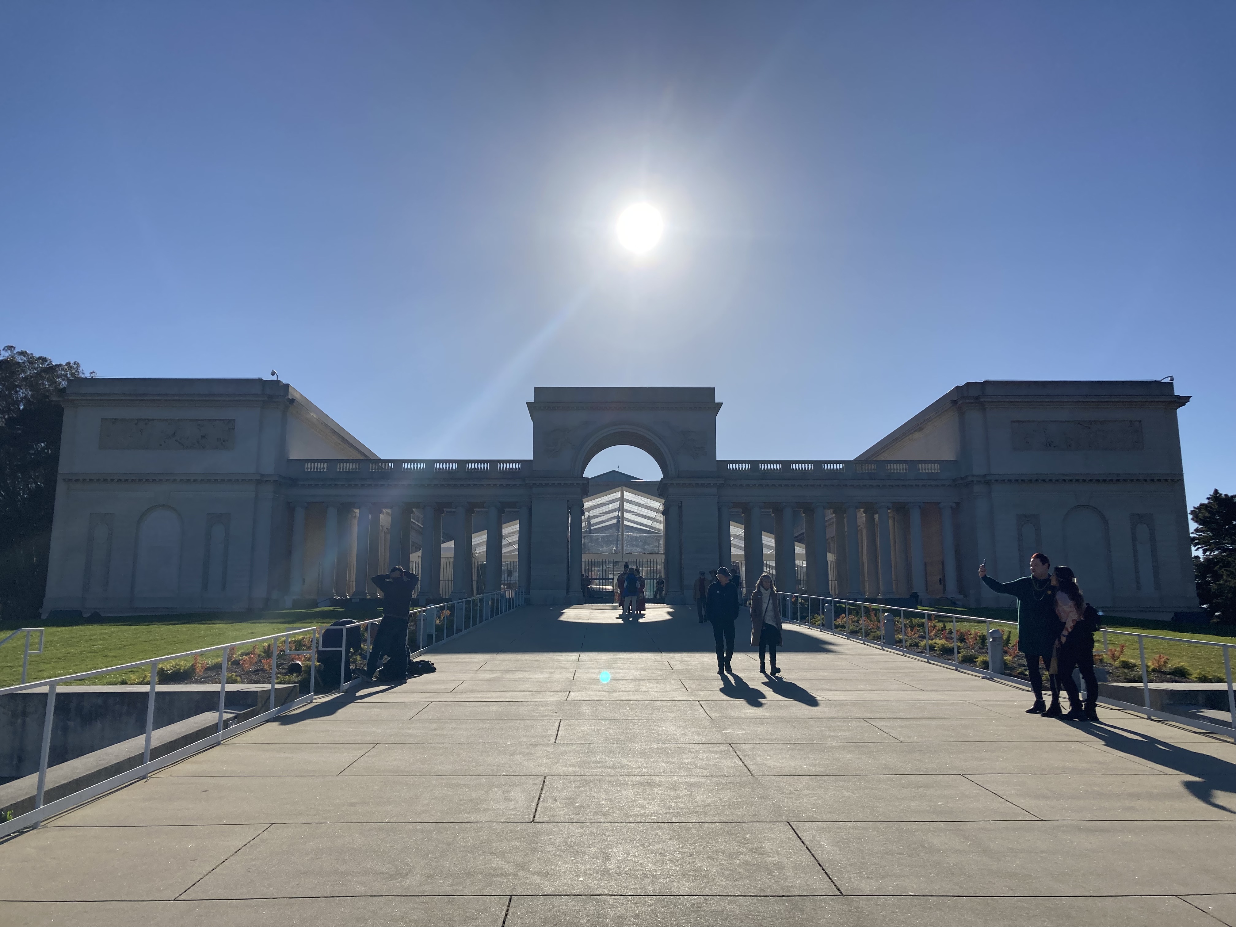
San Francisco
The “jewel of northern California“. Finally!
I spent two full days and an additional afternoon in San Francisco. Considering how much there was to see, I got a lot done in that time. But my very first venture into the city was less than spectacular…
An Unexpected Visit
The dentist. I had a toothache.
It was a nightmare looking up someone to allow to poke around my mouth. The office I settled on was right in the middle of the city. I’d heard bad things about above ground/ open air parking lots (one local said they’d never park in one because you were almost guaranteed to be broken into). So I street-parked and hoped for the best.
I have notes of my travel experiences, like a daily log. And on this day I wrote that I was so stressed that I didn’t eat anything until 9pm. Geez.
I was relieved to get things sorted. It’s definitely not fun to have something like this crop up in another country, and it’s always good to be prepared.
After the appointment I went to Twin Peaks, which had great views of the city. You drive through some cool neighbourhoods to get there. At least ending a stressful day here gave me my first taste of SF. I started to feel more excited. It started to feel more real.
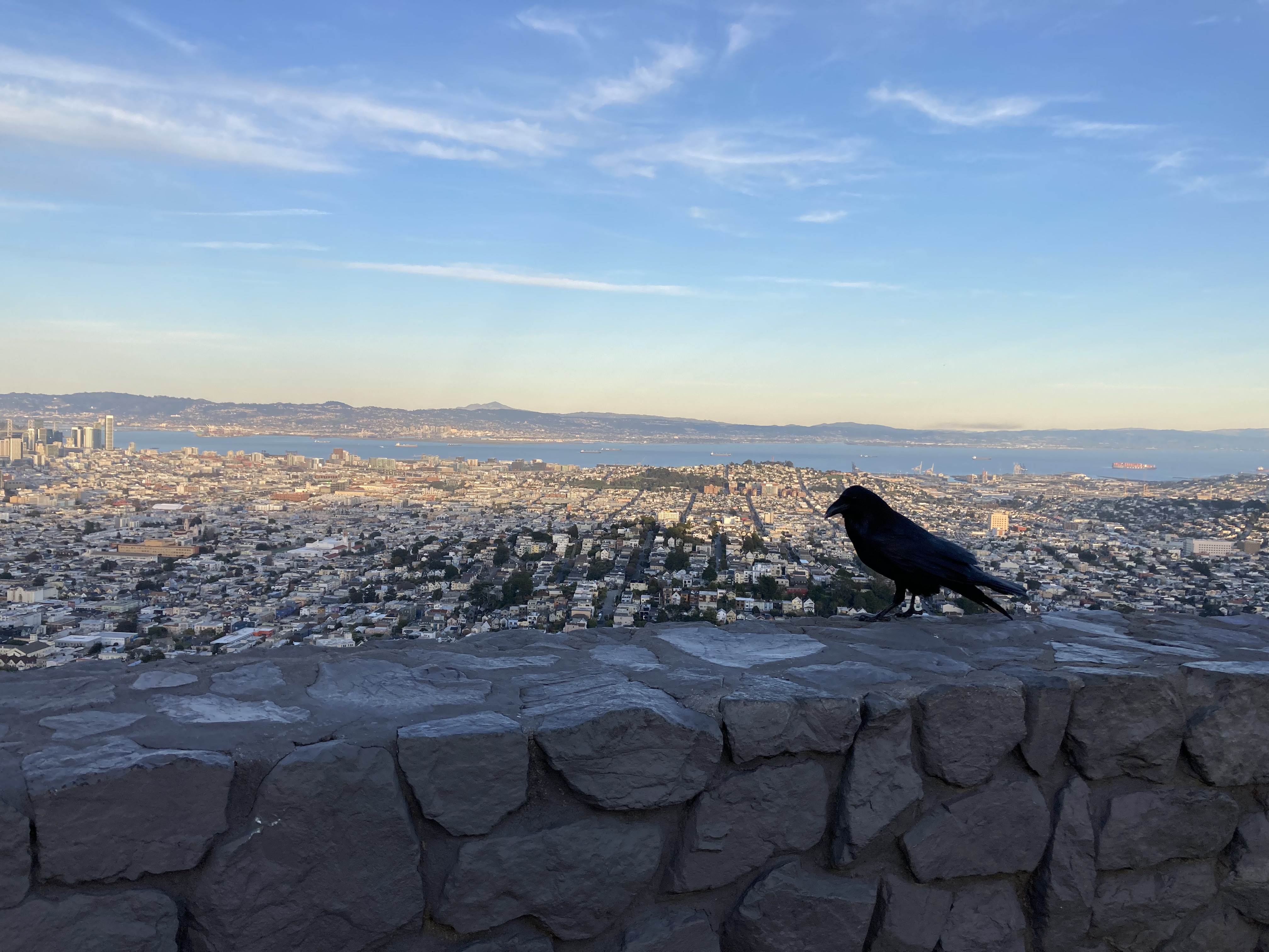
I’ve never seen the show Twin Peaks, but I was familiar enough with the name to think of it when I was here. That said, this place is two hills of about 925ft in height, located pretty much right in the middle of the city. It’s free to visit, there are trails, and there are panoramic views – of the city, the ocean, Golden Gate Bridge. The parking lot at the top can be busy, and when I went it seemed like a hangout for a few rowdy kids. I wouldn’t be surprised if this is a hookup spot, like Signal Hill in Newfoundland.
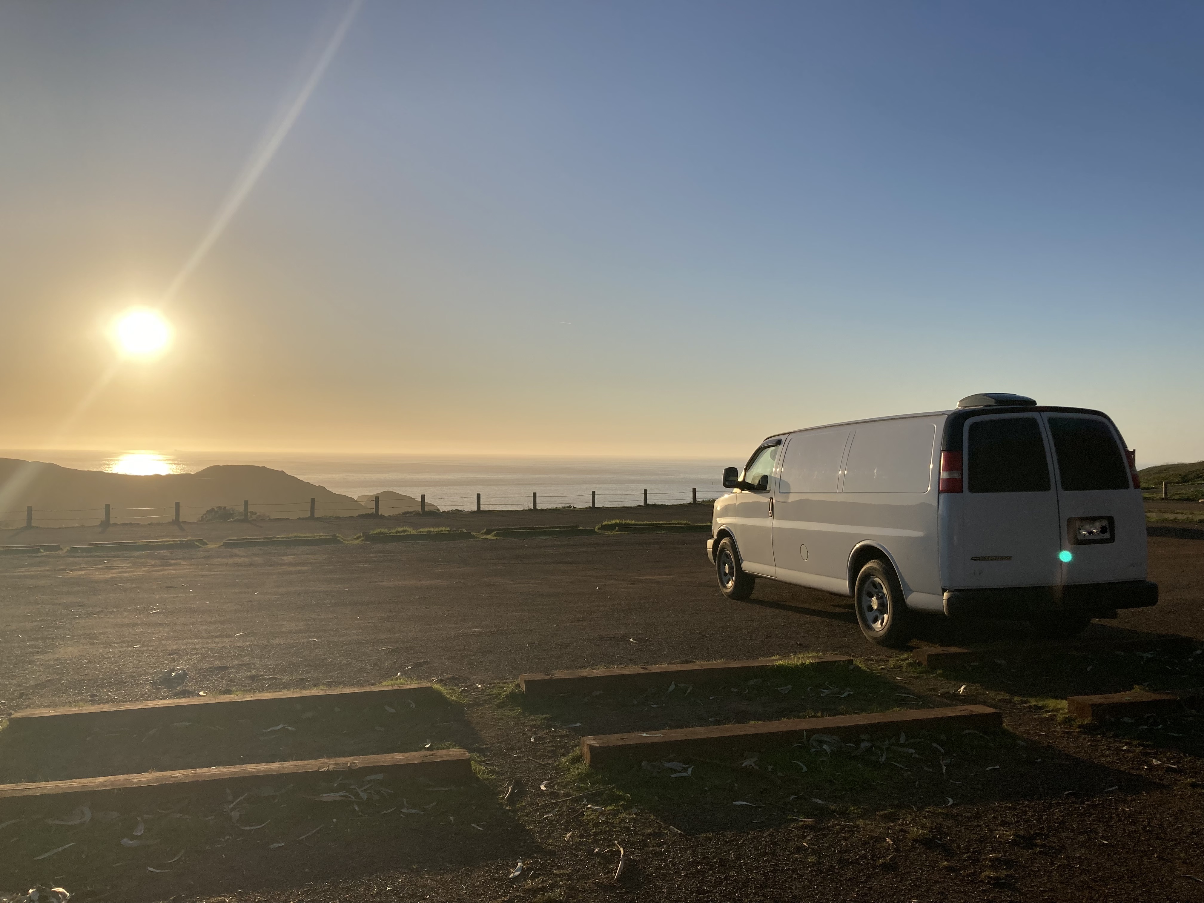
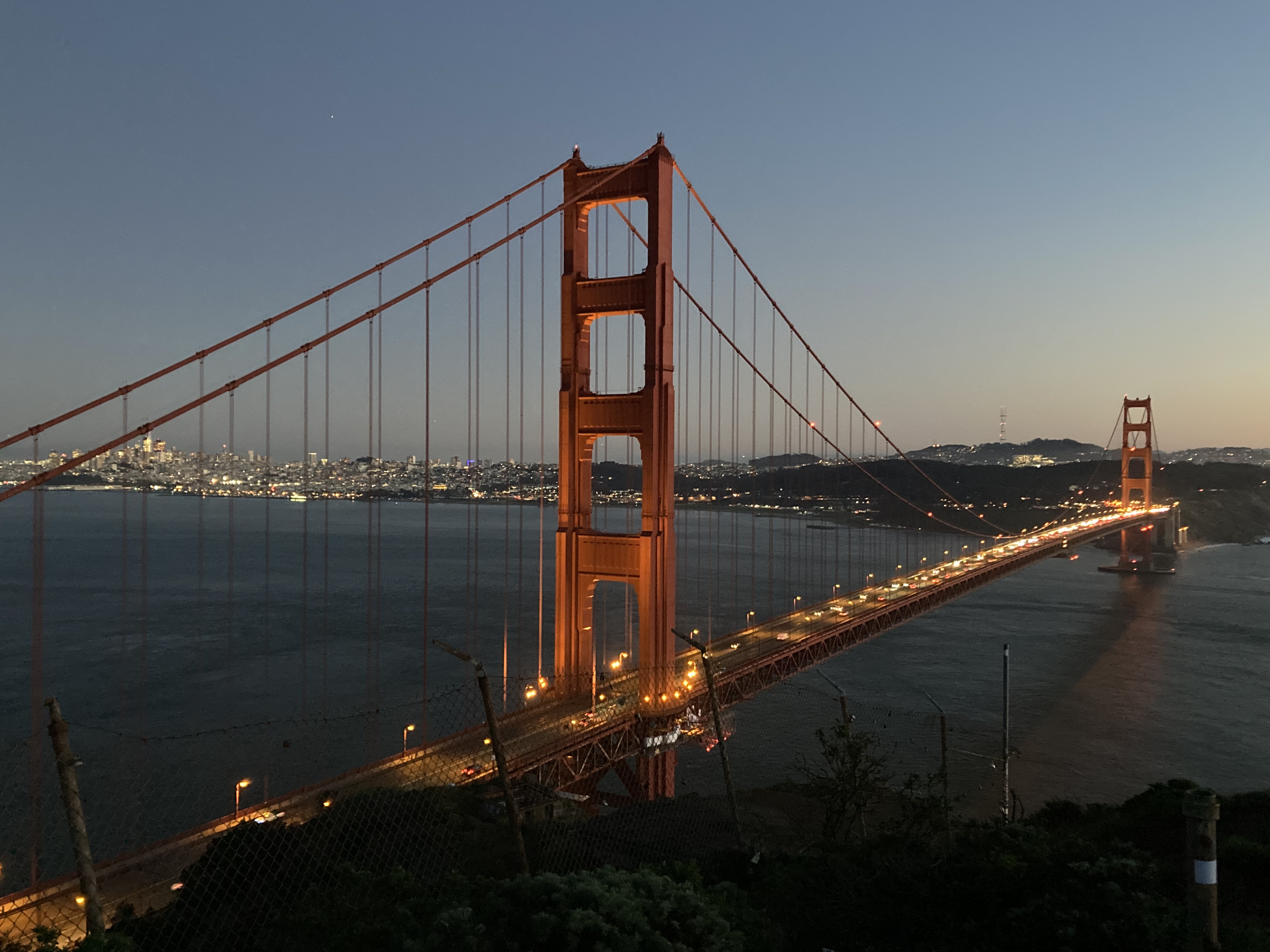
Golden Gate Rest Area
If you pass through SF in a van or a vehicle – stay here overnight (if still permitted).
At the time it was called the H. Dana Bowers Memorial Vista Point. It looks like now it’s called the Golden Gate Bridge North Vista Point. It was effectively a rest area which permitted you to stay up to 8 hours. The only catch was that you could only enter the parking lot while heading north from the Golden Gate Bridge. So if you’re coming from the north you’re either out of luck or you need to cross the bridge and then double back.
The trick with this is – you have to pay tolls every time you cross the Golden Gate Bridge southbound. Your mileage may vary (pun intended), but I decided I wanted to make the sacrifice. So I did the loop, going back and forth across the bridge, several times, in order to stay here overnight. I personally felt it was worth it.
It wasn’t only the convenience (I realize that might sound ironic) of the location, but the location itself, that kept me choosing it over and over. While I usually try to limit frequenting the same spots, sometimes a spot is just too good, and I also staggered my stays with other locations.
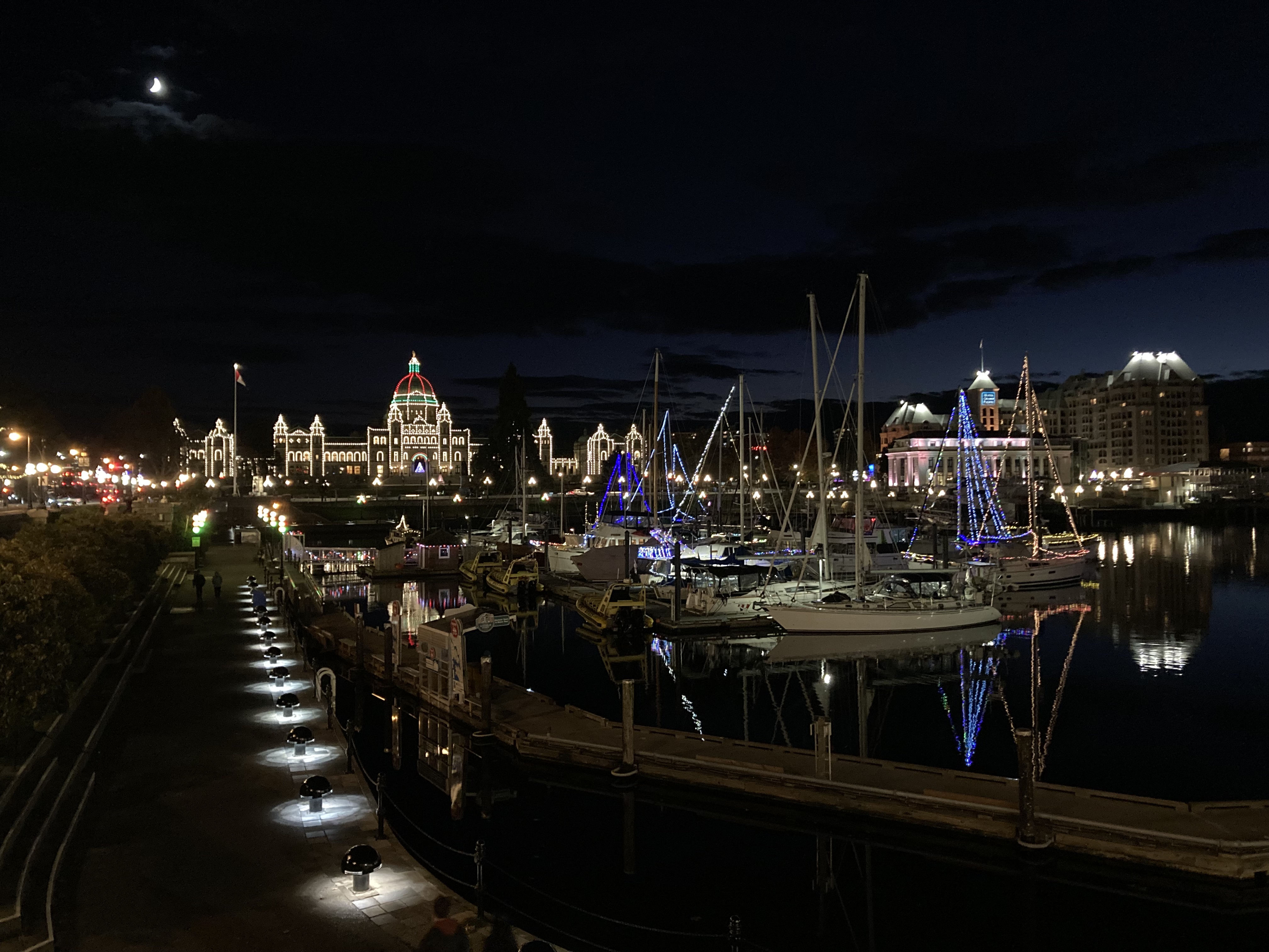
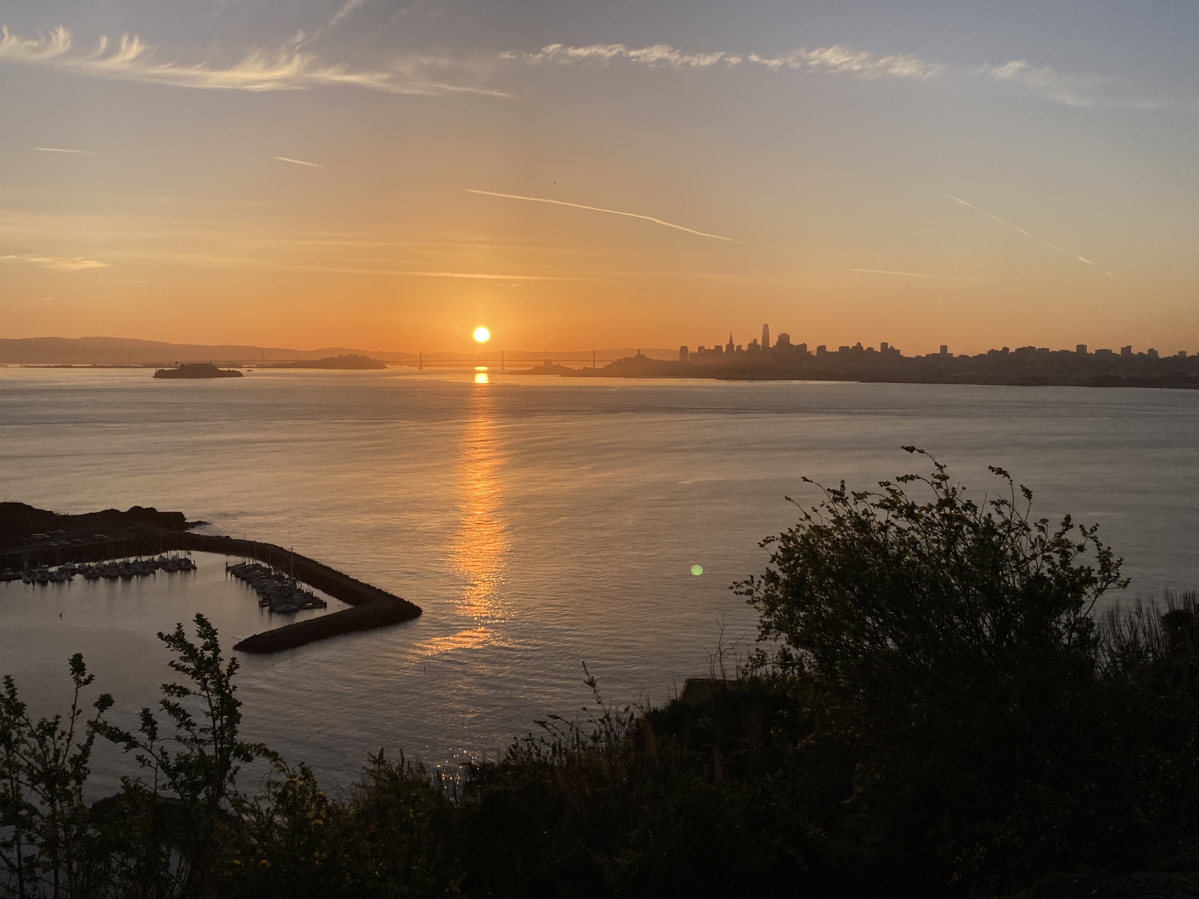
This spot felt safe enough, though it could be busy. It had large, clean bathrooms, which I believe are open 24hrs. I got to wake up to the sun rising over Alcatraz, the bay, and the San Francisco skyline (truly stunning), as well as get another close up and unique viewpoint of the Golden Gate Bridge. There are informational and historical plaques. And this was the perfect overnight spot for the nights prior to my day trips into the city – as I would be taking the ferry from Sausalito, and this was very close to Sausalito. I was here when the moon was full and got to watch the moon rise over the city, too.

Golden Gate Bridge Tolls
TLDR: vehicles with out of country license plates are not charged tolls for crossing the Golden Gate Bridge (though I’d suggest checking for up to date information).
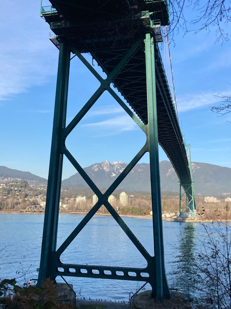
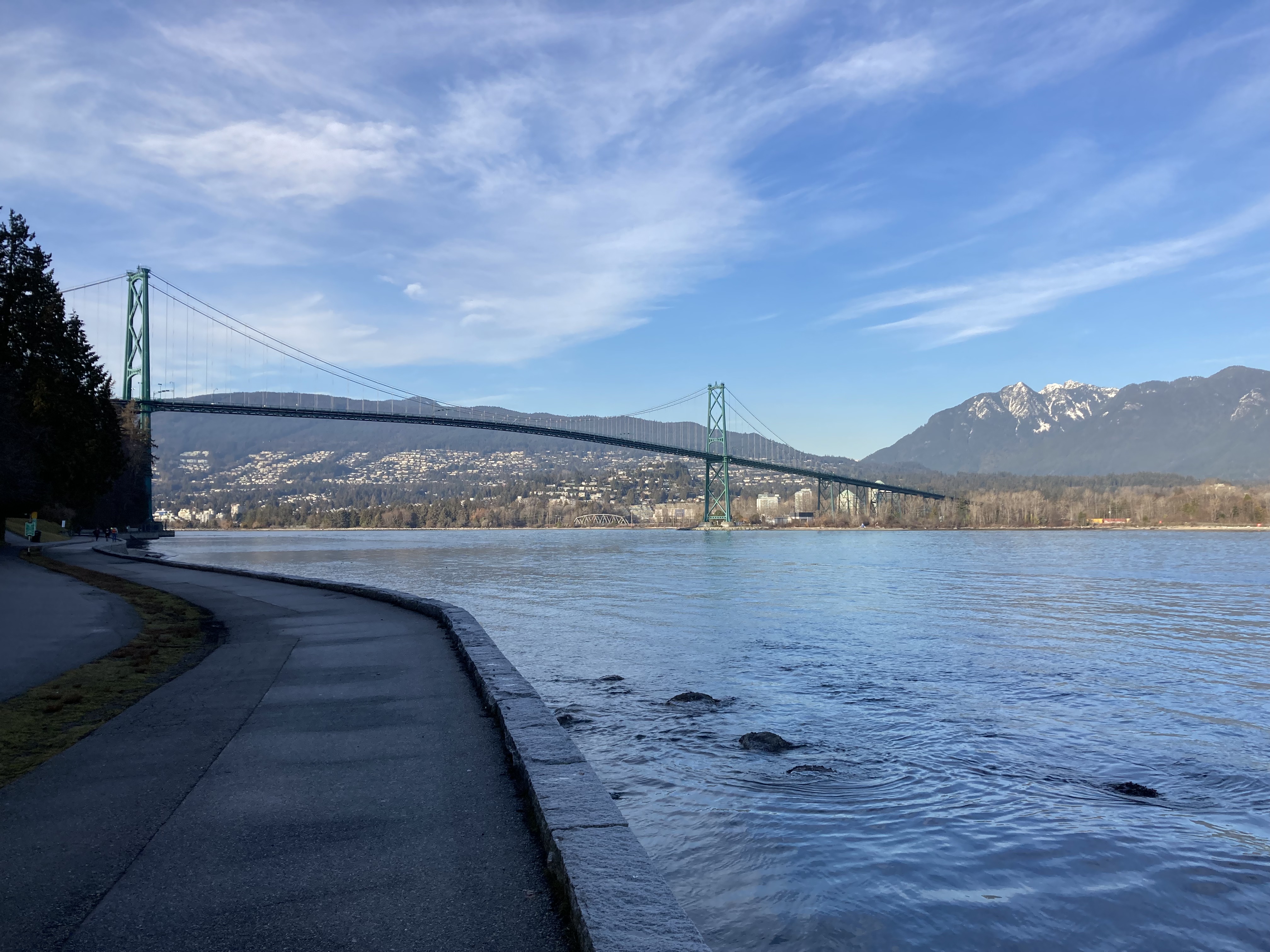
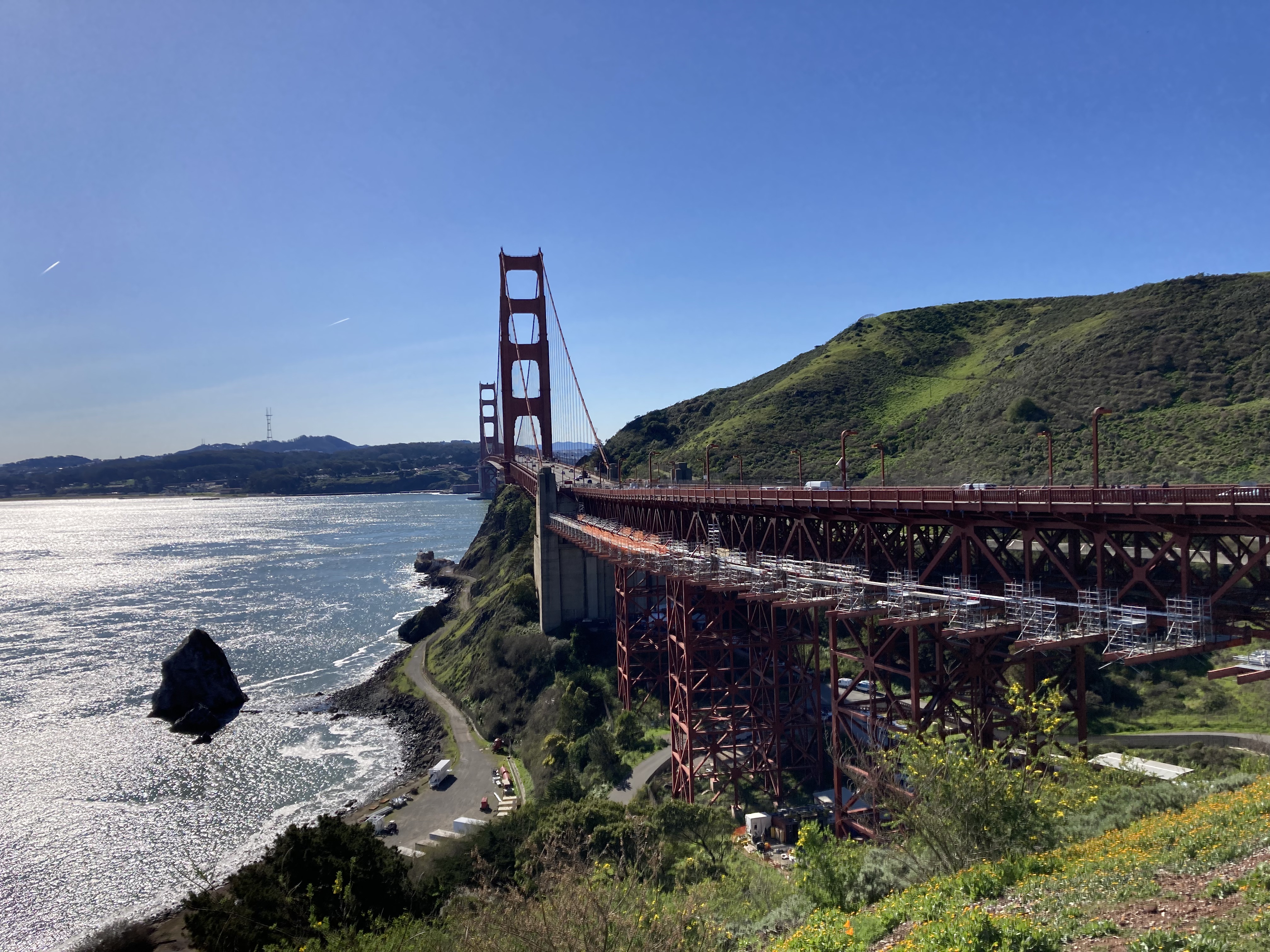
The Golden Gate Bridge is an iconic landmark. A 1.7 mile long suspension bridge built in 1937. There is a visitor centre with souvenirs on the south side. One thing that struck me was the informational plaque at the rest area on the north end of the bridge that spoke about adding to the bridge’s structure to dissuade suicide attempts with a suicide deterrent net system.
My plan was to pay the tolls right before leaving SF, so I could pay them in one go, knowing exactly what I owed, and not guessing at how many times I’d cross (you can also pre-pay). But it was pretty frustrating to find that as someone from out of country, driving a vehicle with out-of-country plates, I could neither pay online or pay by phone – I had to go to an in person location, or else wait a month or more for them to mail an invoice to the address my vehicle was registered to (which I did not prefer, as I didn’t know when I’d be back there and there are deadlines and interest and penalties if you are late to pay).
When I went in to SF, I went to the Bay Area FasTrak Customer Service Center to pay. I was told that they had no record of my license plate. I figured I’d get an invoice in the mail at some point. It’s been several years now, and I’ve never received an invoice.
Now, I presume that a lot of folks would probably leave it at that and forget about it. But I’d calculated that I could rack up hundreds of dollars for toll violations, and I am aware that toll evasion can have some severe consequences (being reported to insurance companies, license suspension, or if you try to re-enter the US – federal marshalls could have a warrant for your arrest – at least that’s what I’ve read online).
But I couldn’t pay for tolls if I couldn’t locate the records.
After a bunch of research, I found some anecdotal accounts where Canadians said they were told by a FasTrack supervisor that out of country plates do not get registered in the automated system, therefore crossing the bridge is essentially free. I dug deep to get a definitive answer regarding tolls and how to pay – and I couldn’t find squat – other than these anecdotes. Here’s a screenshot and link to a reddit thread on the topic:
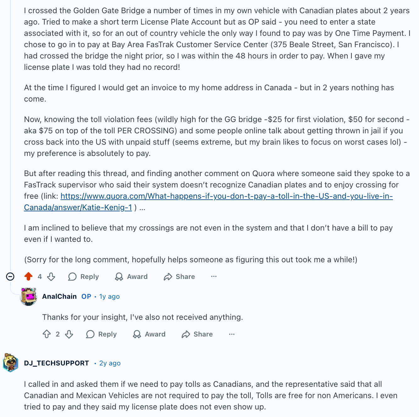
This is GGB-specific – as I’ve seen people say that there are agreements for cross-border sharing of information between states and provinces that border each other – aka, if you rack up tolls in a neighbouring state they are recorded, and you will receive an invoice in the mail.
Nobody can tell me I am not thorough to a fault or that I didn’t try!
The Ferry From Sausalito
Sausalito proved very useful in my strategy for visiting San Francisco. You get to the SF area and the impression is that above ground parking almost certainly ensures that your windows will be smashed and your belongings or vehicle will be stolen. But failure was not an option.
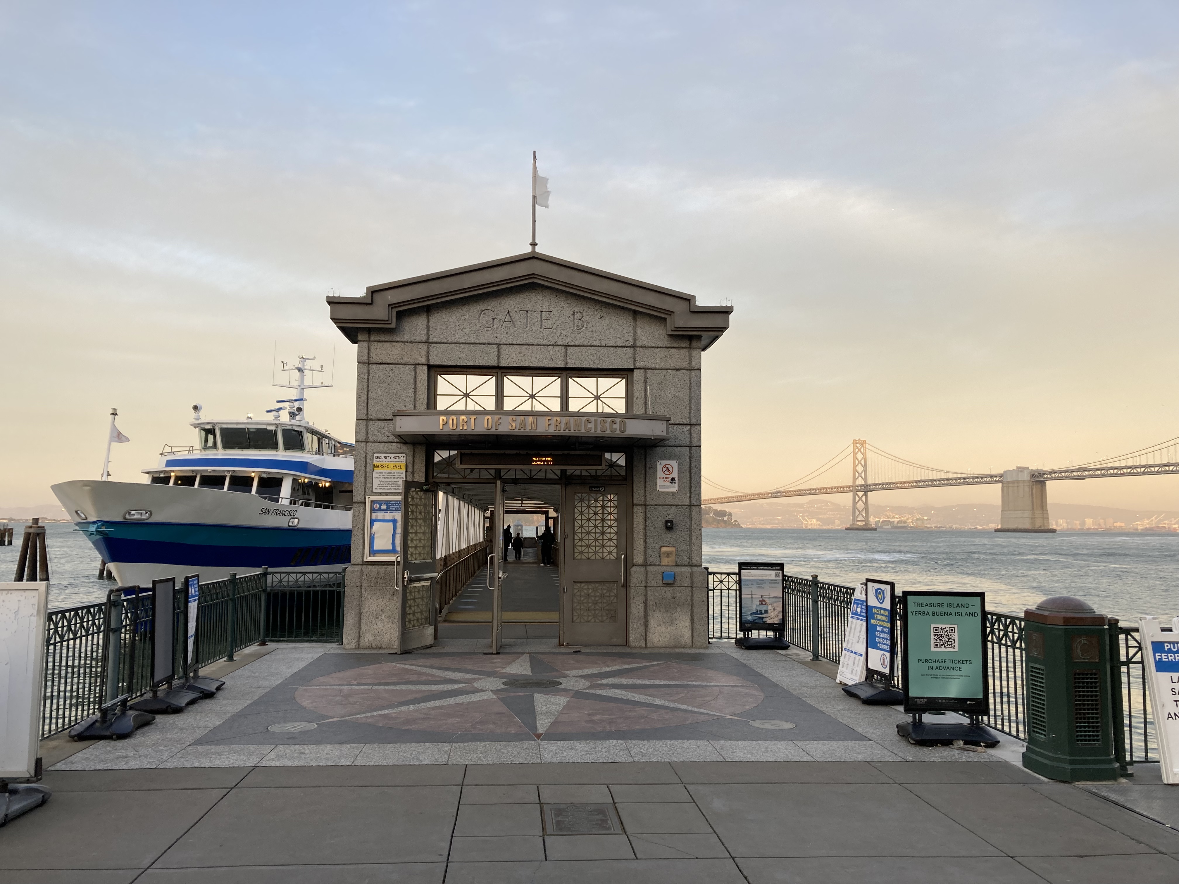
I was nervous to leave the van somewhere all day, but my approach tends to be that knowledge is power – be smart and prepare rather than not do something out of fear. So rather than drive in to San Francisco, I parked the van at the ferry terminal parking lot in Sausalito and took the ferry to San Francisco. It’s actually super convenient, and you get to ride the ferry past Golden Gate Bridge and Alcatraz.
But I didn’t just park in the parking lot – I parked in the spot closest to the terminal, by the boardwalk, right next to the machine where you pay for parking. Essentially, I parked in the most visible parking space that would have people walking by the most, so that it would be less likely for someone to try to break in due it being so conspicuous. I left the van here across two full days and no break in!
Honestly, I was kind of proud of this strategy. I did get a parking ticket on one of the days, as I had forgotten to extend the parking. I was in Haight-Ashbury! I was having fun! It slipped my mind! It was a bummer. But certainly not the worst thing that could have happened.
The ferry terminal / Ferry Building in San Francisco is centrally located, part of a touristy area, and has food and shops, so it’s a good checkpoint.
Day 1
Have I mentioned that I am not a morning person?
It worked out in my favour that I had mostly sunsets to watch over the ocean on the Pacific coast (as opposed to sunrises). But a San Francisco skyline vista point sunrise and a jam packed city day are two things that demand getting up early (while it was still dark outside). The mission demanded it!
It’s also funny to look back at how I thought I could get everything done in one day…
I slept at the vista point rest area, got up, got ready, drove to Sausalito (10 minutes), and caught one of the first ferries out.
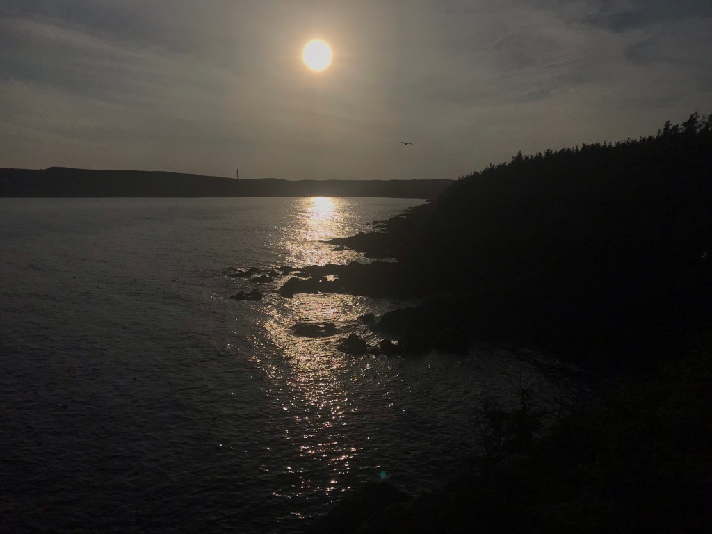
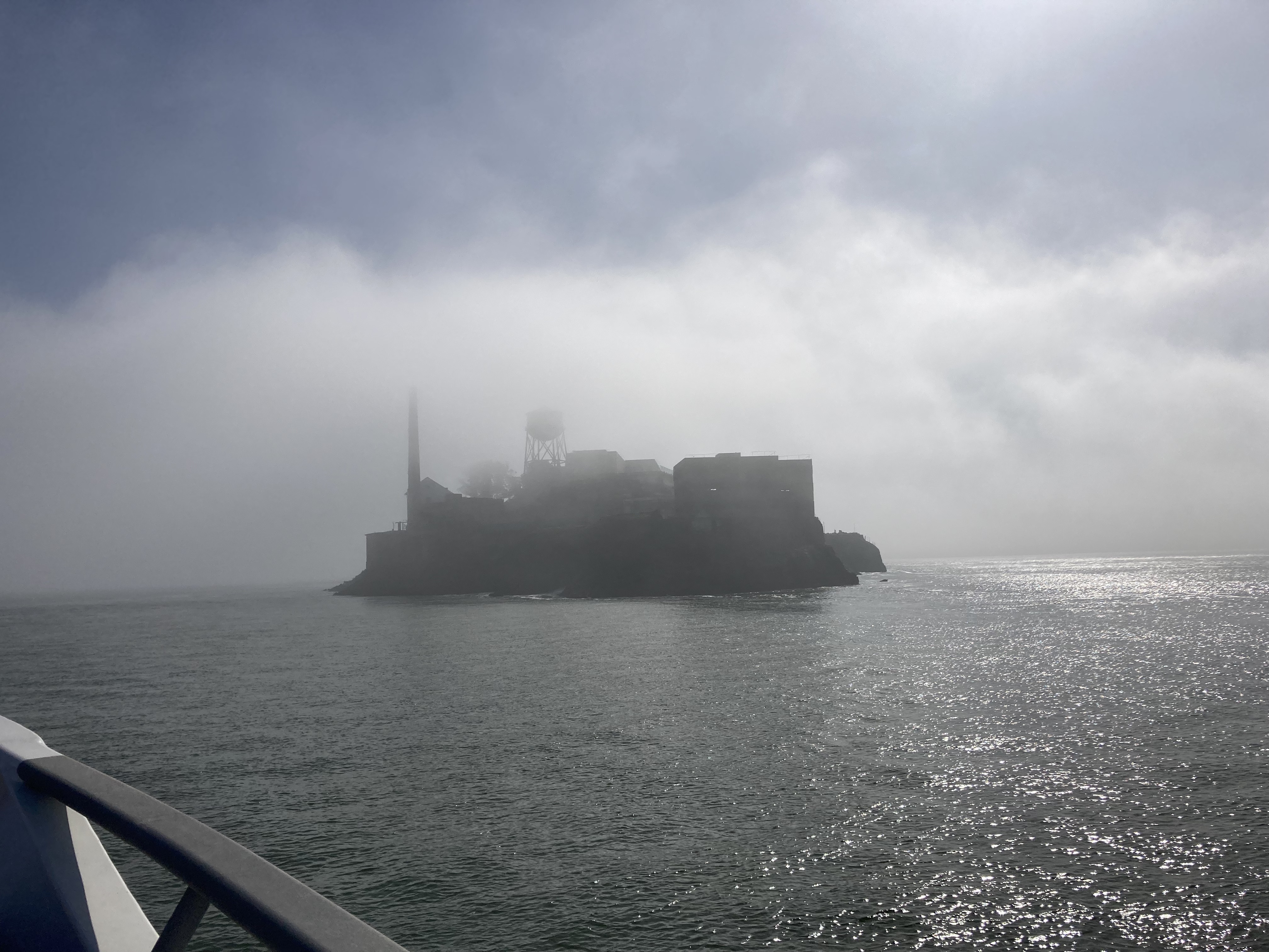
The ferry ride was beautiful, with characteristic fog hovering over the Golden Gait Strait. The fog cloaked Alcatraz in perfect moody fashion.
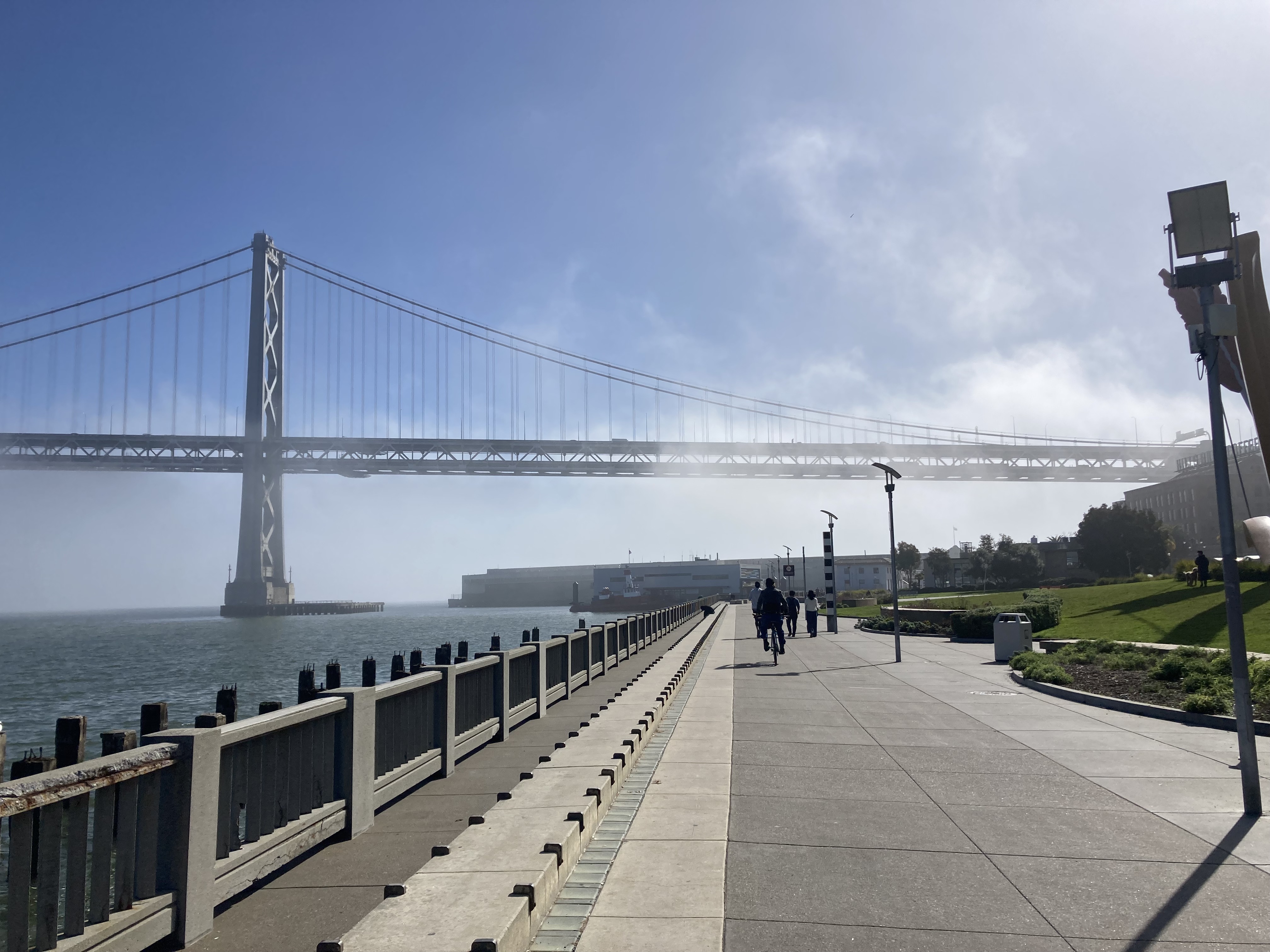
After arriving at the Ferry Building I walked south along the water with views of the San Francisco-Oakland Bay Bridge.
I’m an eat my vegetables first (save the best for last) kind of gal, so my first line of business was to try and pay my bridge tolls. While walking I took in my surroundings with glee.
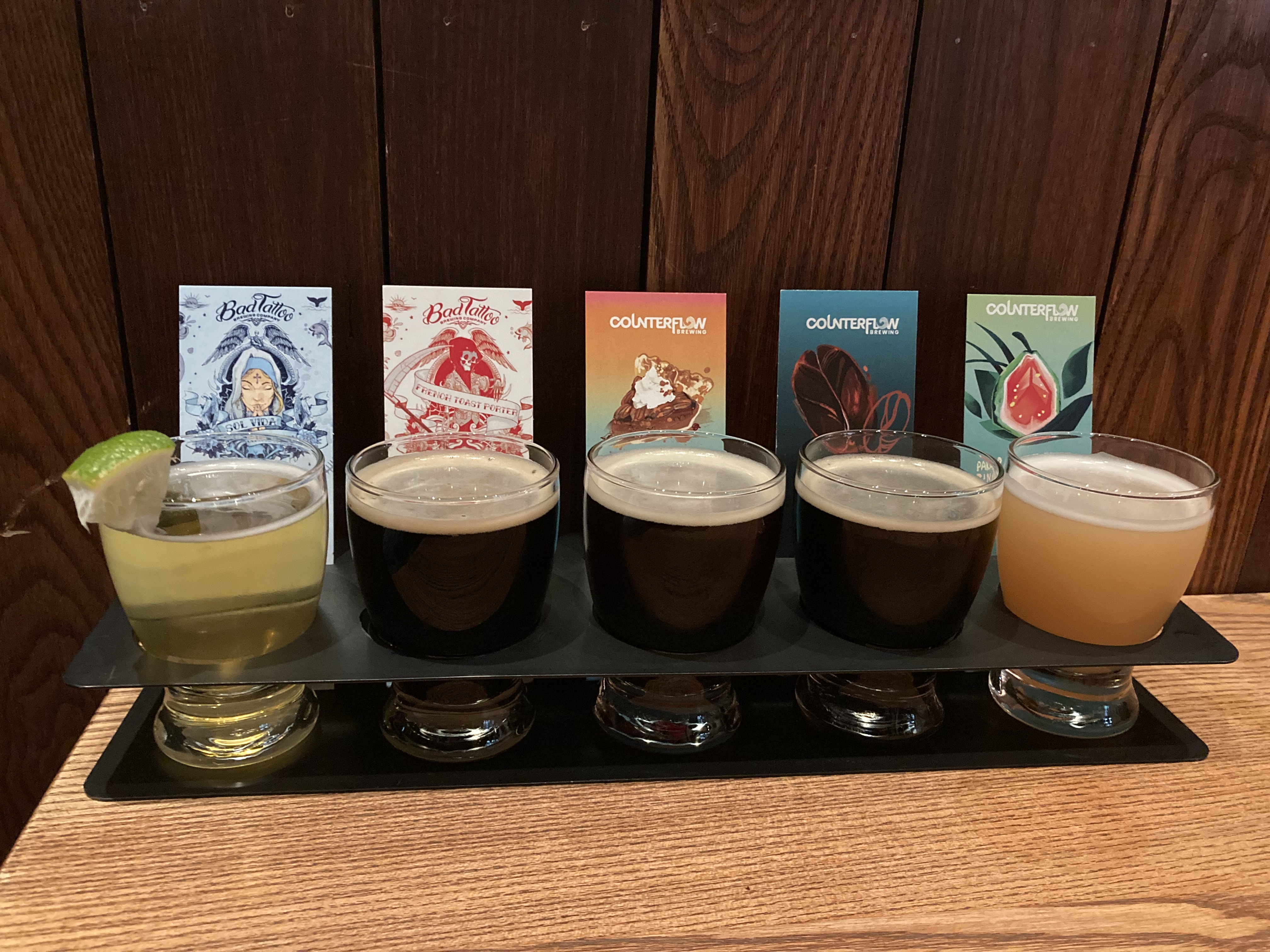
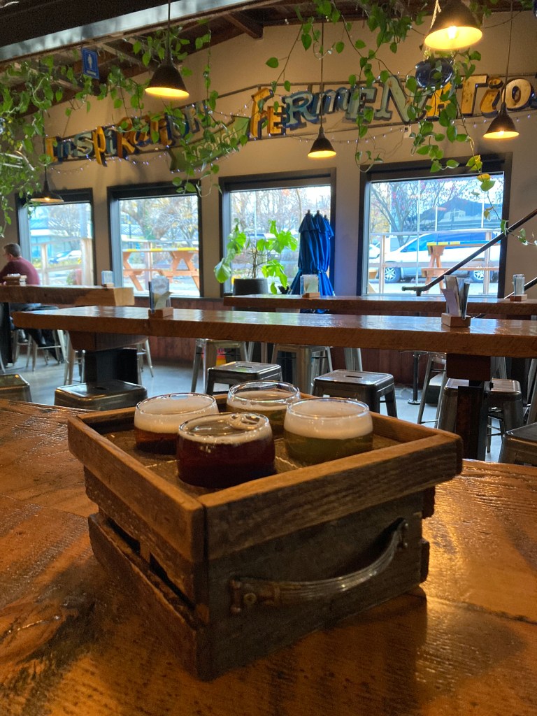
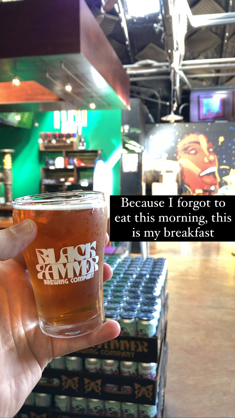
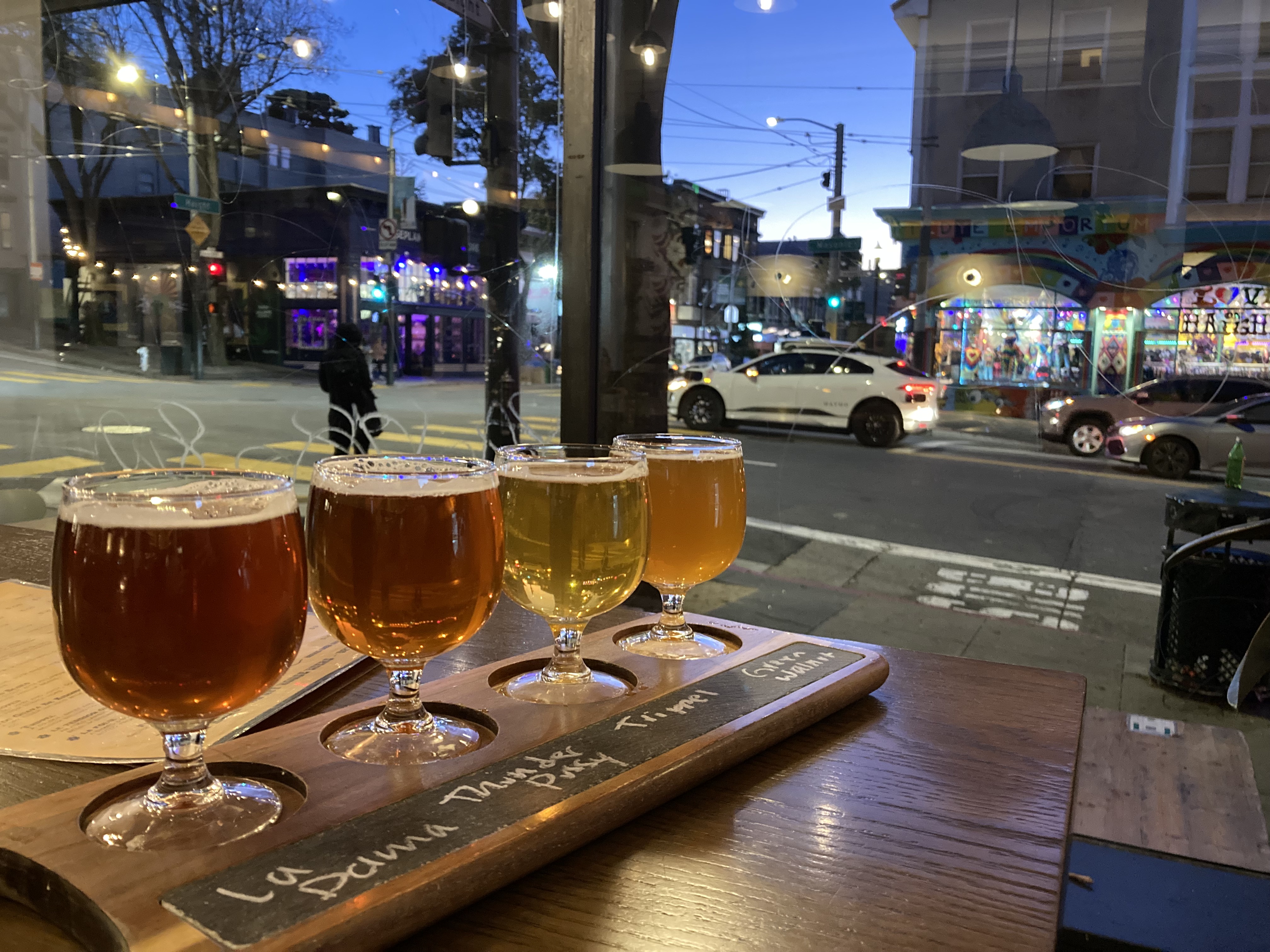
From there, my destinations were chosen sequentially based on proximity. The next logical stop was Black Hammer Brewing. It was still early in the day, luckily they were open. It had been such a busy morning that I realized while sampling a flight that I had not yet eaten and I was having beer for breakfast!
I had a nice little convo with the bartender about my travels, a trip she did to Canada, and her time living in LA. I told her how stunning San Francisco was, how much I was enjoying it.
The beer was interesting – which is right up my alley – with gluten free options, a barleywine, a barrel aged apricot beer, and a hefeweizen. A good hefeweizen is up there with my favourite styles, and this brewery does claim to give German beer a run for its money.
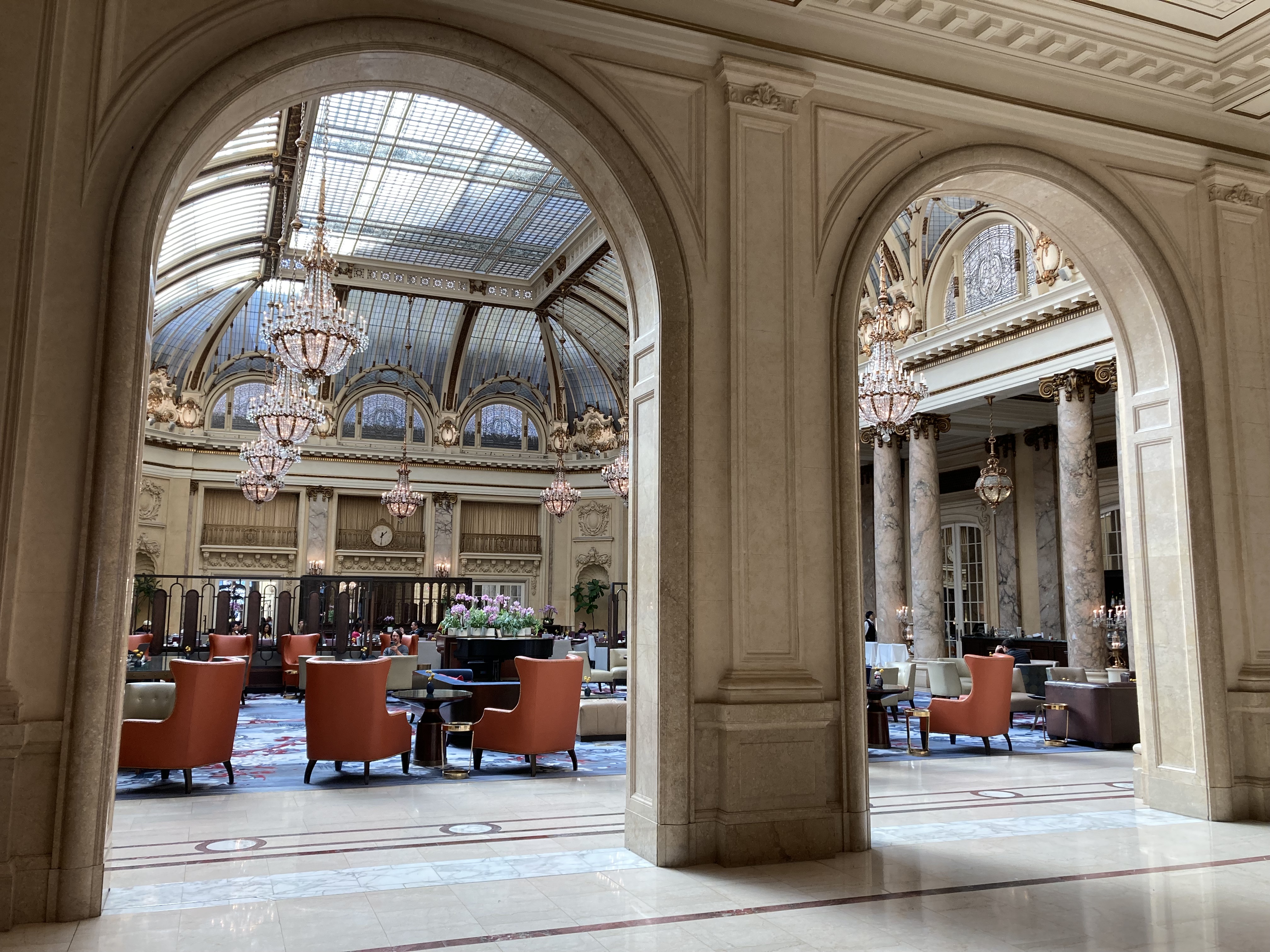
On my way to Chinatown I walked through the Financial District and checked out the Palace Hotel, a historic luxury hotel in the city built in 1875. Its Garden Court, where they serve traditional afternoon tea, did not disappoint.
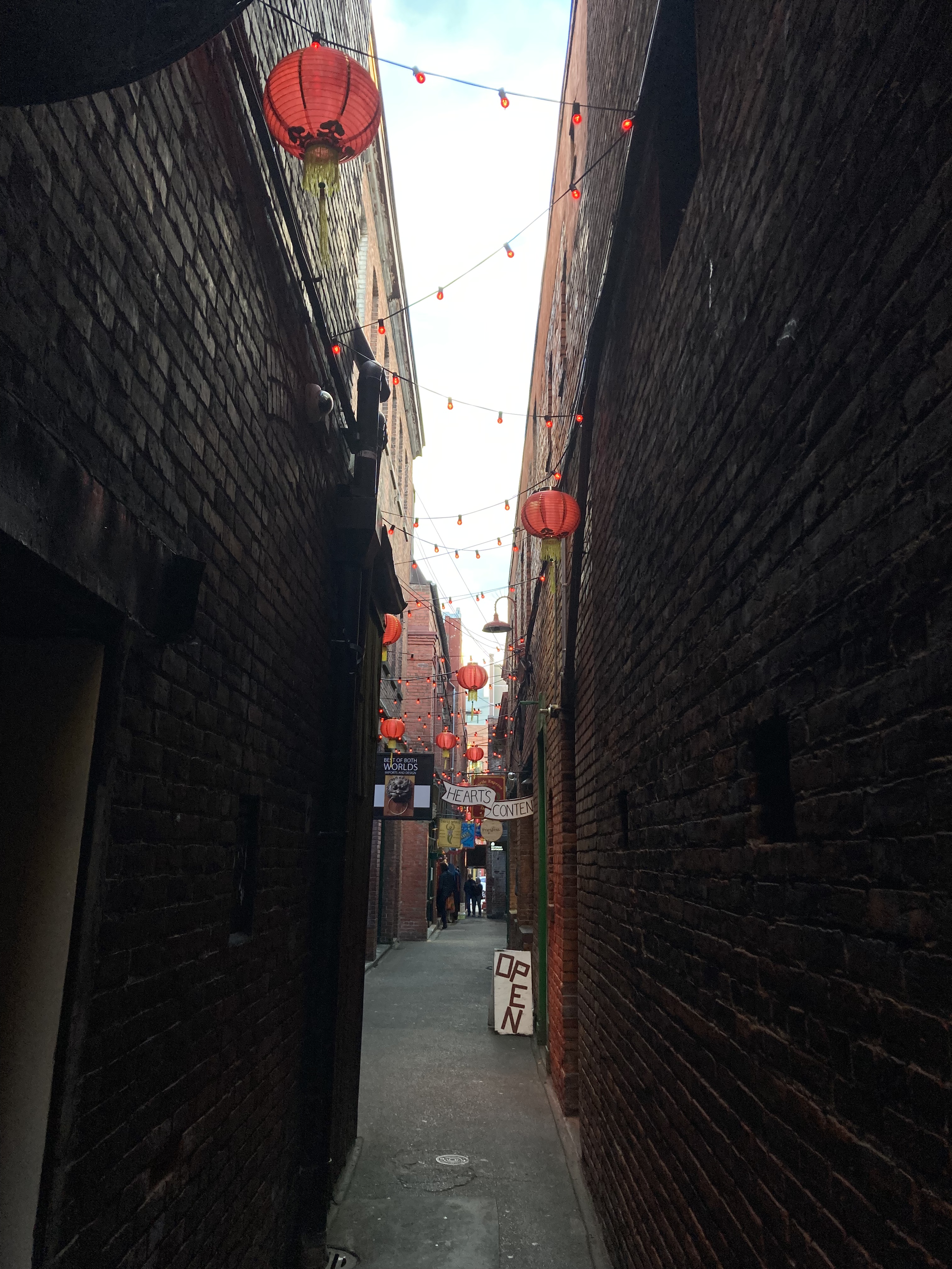
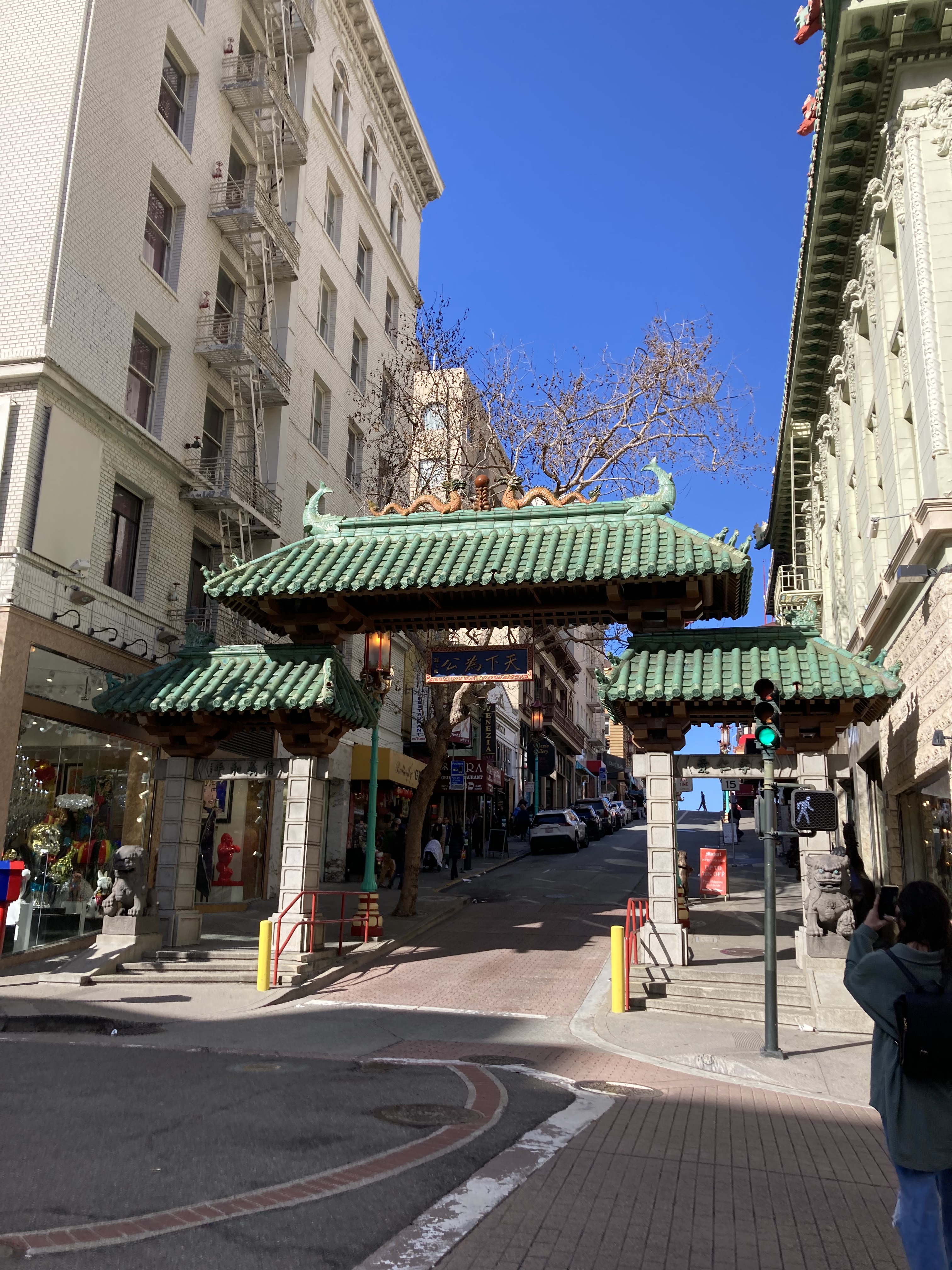
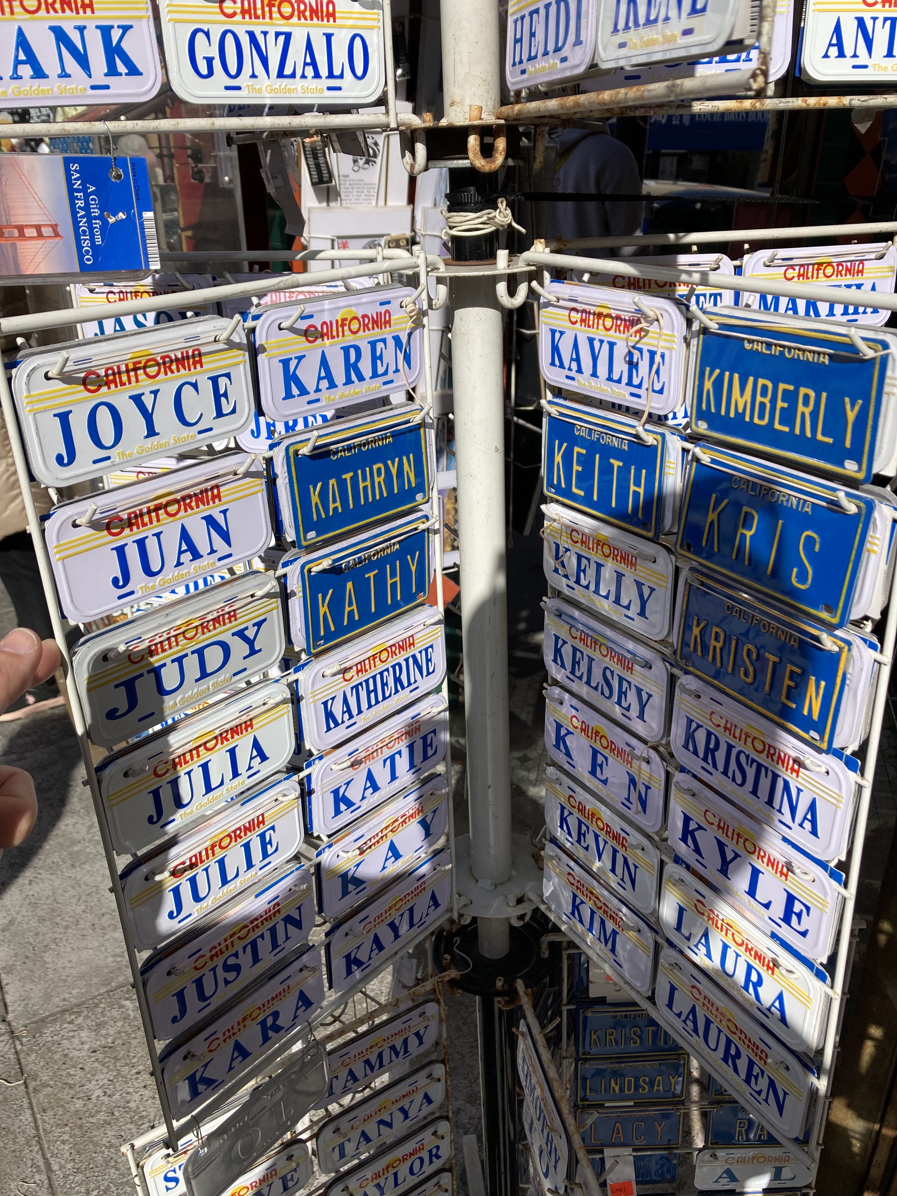
I arrived at the Chinatown gateway at Grant Avenue and Bush Street, and walked along Grant Avenue – the main street in Chinatown for tourists. San Francisco’s Chinatown, established in 1848, is the oldest and largest of its kind in North America. There are some very interesting shops. I picked up a pair of sodalite dice. And I lamented the fact that my name is never part of those souvenir stands (you know the ones)…
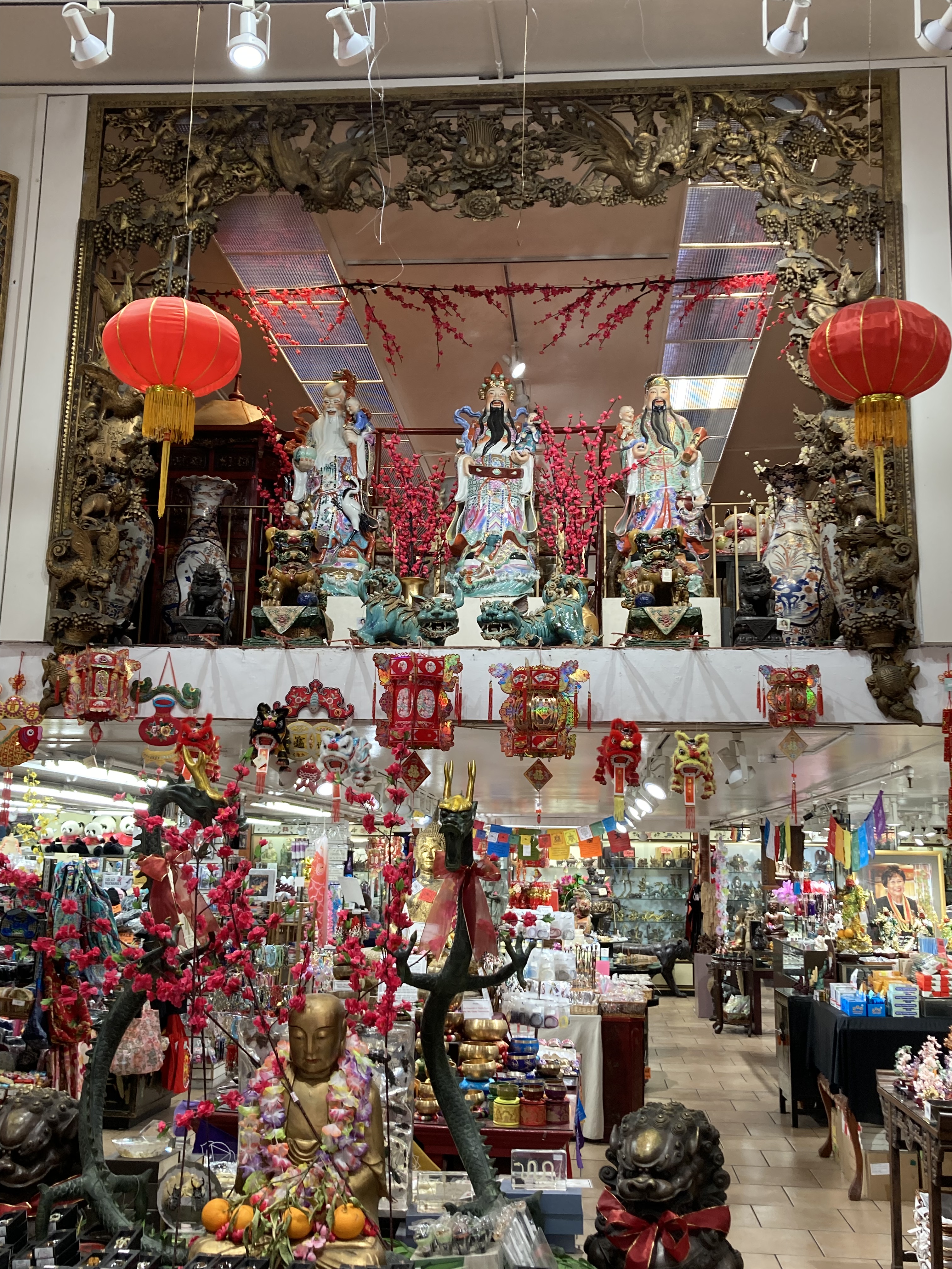
I should have done more research about Chinatown. Looking back, I had made note of the destination and only planned to walk through. And that’s fine, I think some travel is best left to minimal planning. But I just read about the Golden Gate Fortune Cookie Company?! Apparently Stockton Street is the “real” Chinatown. There’s Tin How Temple, one of the oldest Taoist temples in the US. Along with many authentic restaurants and bakeries. And walking tours seem to be highly suggested.
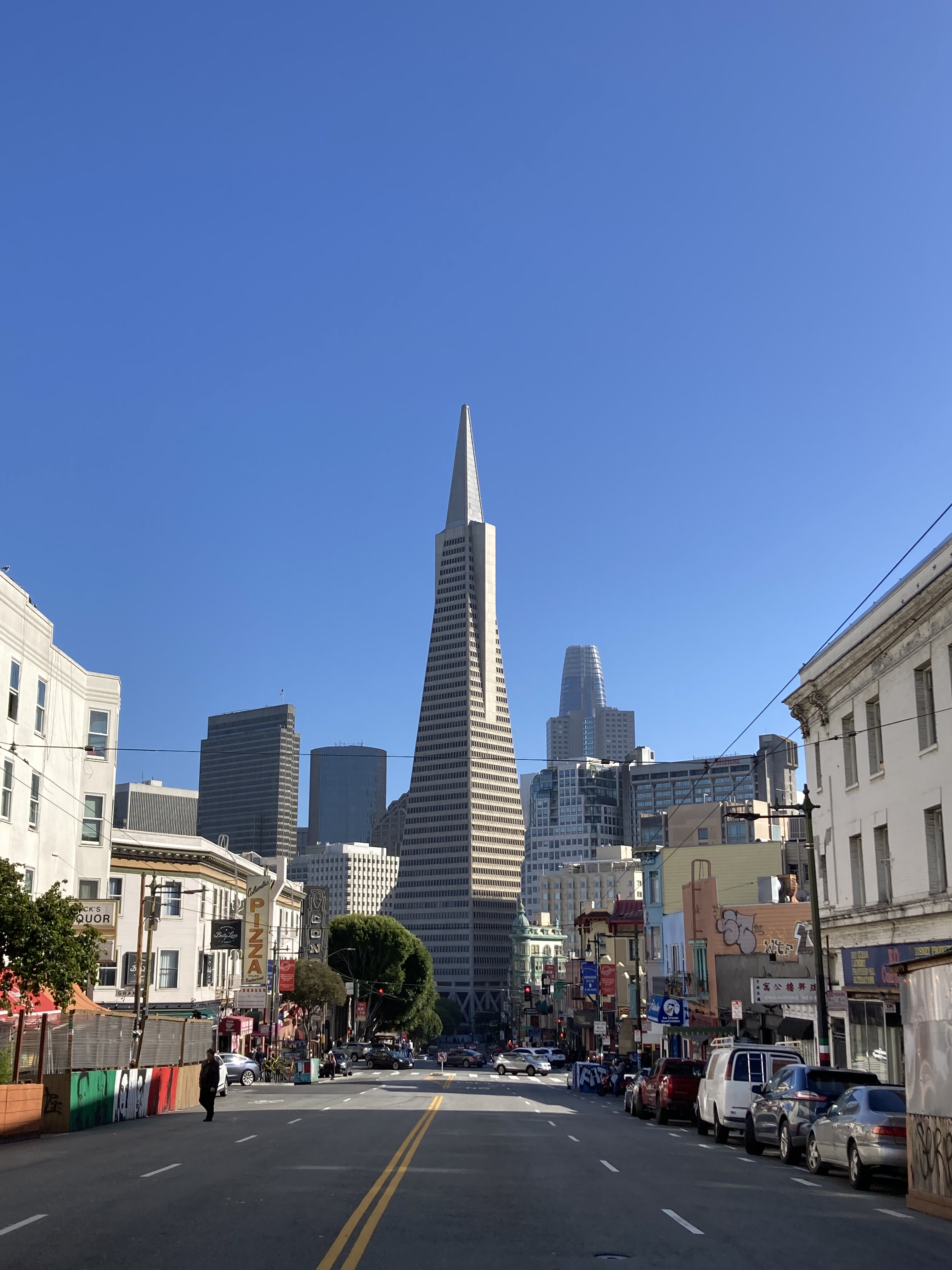
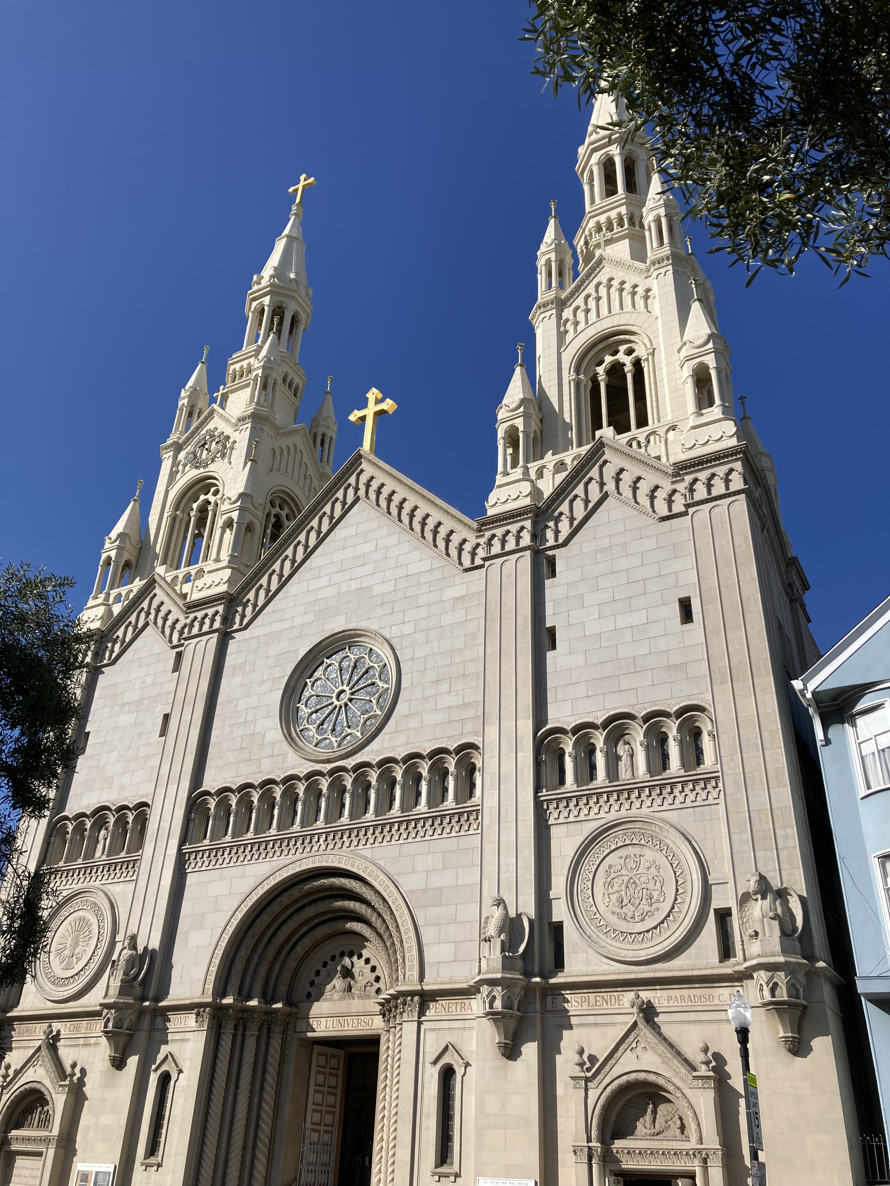
Walking north through Chinatown I arrived at the North Beach neighbourhood (Italian community), at the foot of Telegraph Hill. I got a view of the Transamerica pyramid (modernist skyscraper, second tallest building in SF) and took in Saints Peter & Paul Church. Fun fact, Marilyn Monroe and Joe DiMaggio took photos in front of this church after their wedding in 1954. This church has also been featured in movies, including Clint Eastwood’s Dirty Harry. It is ironically located at 666 Filbert Street.
Then came the slog up Telegraph Hill, which reminded me of walking in downtown St. John’s, NL. Which also reminds me how many times I mentioned Newfoundland to Americans and they had never heard of it – like I was from another world.
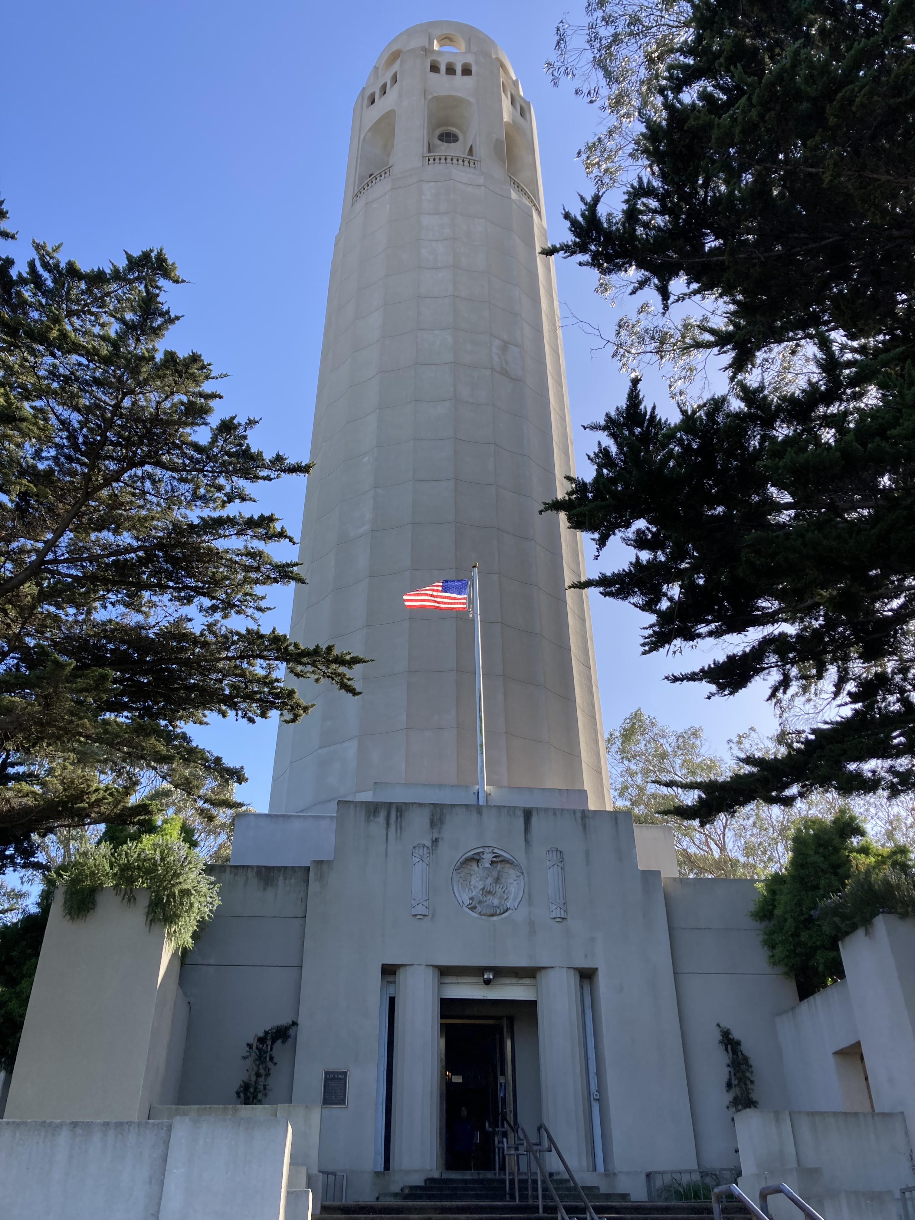
Telegraph Hill is a neighbourhood, but also one of the first seven hills to be named in SF (there are now 44 or more). It hosts a flock of parrots (I should have kept my eyes peeled, because I didn’t see any – but apparently they move around the city). Arguably the hill’s main attraction is Coit Tower, a 210ft ivory-coloured tower, built in 1933, at the apex of the hill. From here you get some wonderful views of the city, including the famous Lombard Street – the “crookedest street in the world” (I also fumbled taking this in). Inside the tower are murals painted in the early 1930s depicting daily life during the Depression (or the previous communist, anti-capitalist scandal version). And you can take an old elevator to the top. I mostly walked along streets to get here because I was coming from the west side, but you can take the famous 400+ Filbert Street steps if you’re coming from the other (east) side of the hill or the Embarcadero / waterfront area. These steps are surrounded by gardens and views!
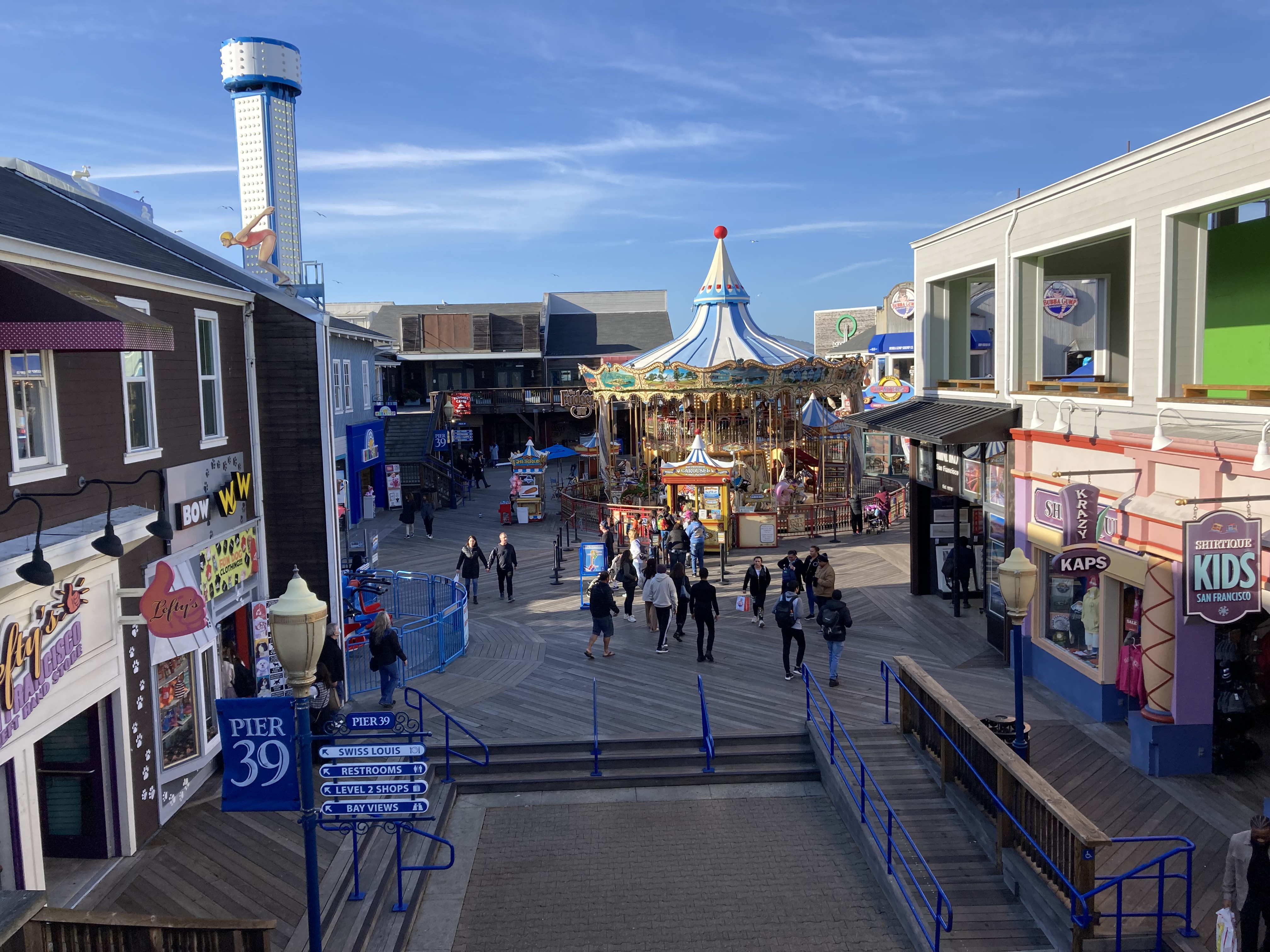
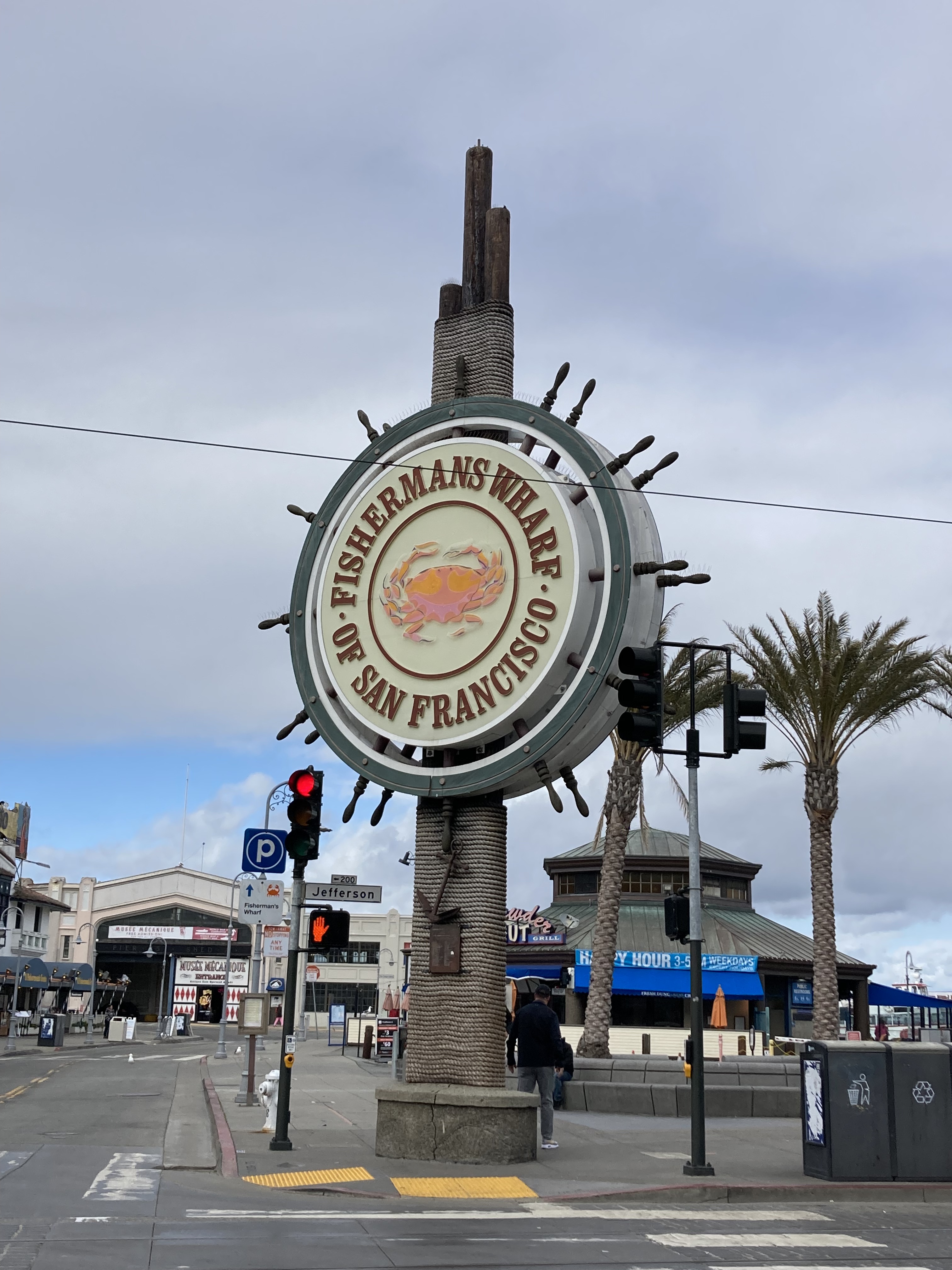
From here I made my way back to the waterfront, to the Embarcadero – which is essentially the stretch of roadway along the piers of the city’s northeastern shoreline, from the Ferry Building (south end, before Pier 1) to Fisherman’s Wharf (roughly Pier 39 to Fort Mason).
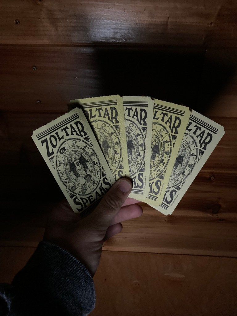
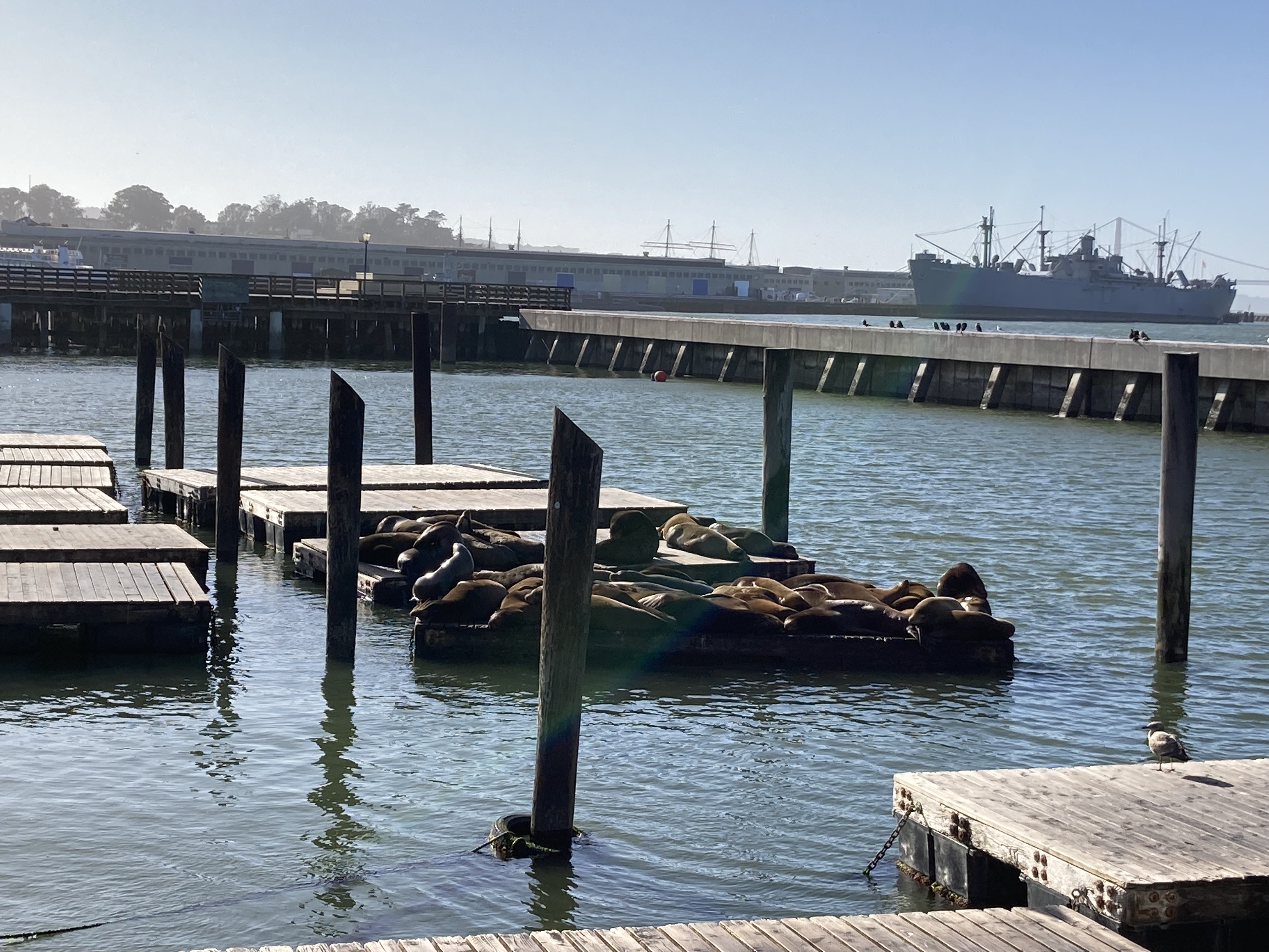
I walked around Pier 39, saw the sea lions lying on the docks, explored the shops. It’s a very touristy spot, but worth it in my opinion. And there are some elevated spots where the views back towards the city are nice. This was also the first place in California where I had a Zoltar sighting (and inevitably bought a fortune).
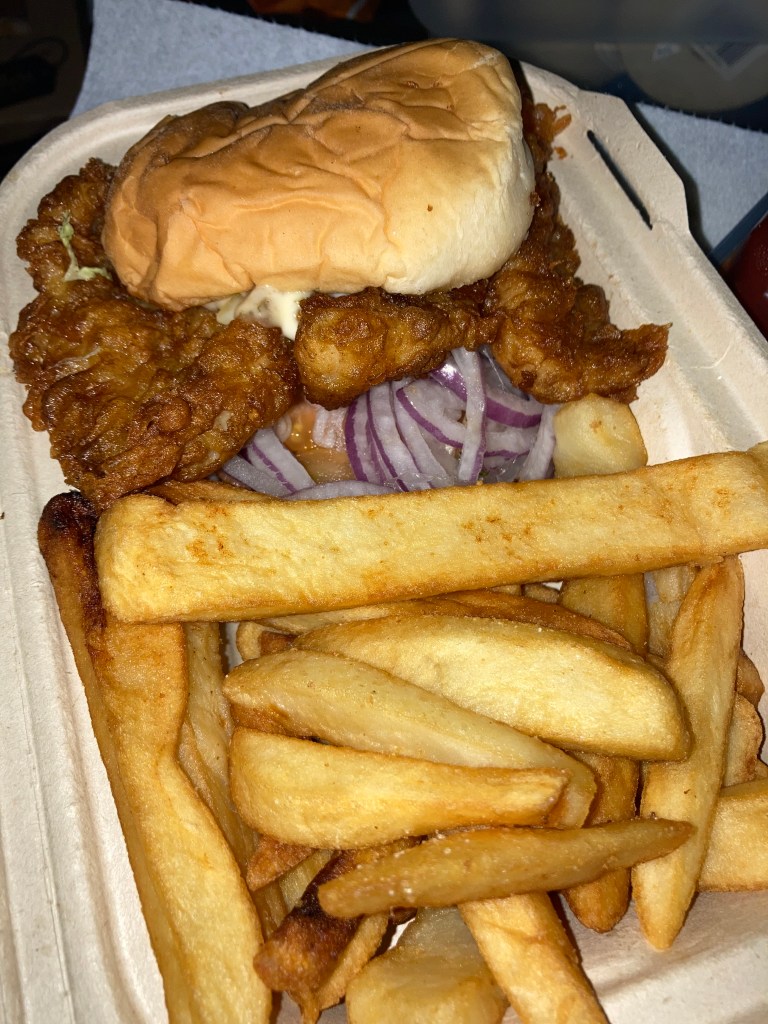
After the pier I walked through Fisherman’s Wharf and got some seafood to fuel me. The chowder in sourdough rolls are a classic here, though I opted for a fish sandwich. I will say, it wasn’t the best fish I’d had on the west coast – don’t believe every sign that tells you their’s is the “world’s best” (I think you’re more likely to find the best at a little no name joint off the beaten path).
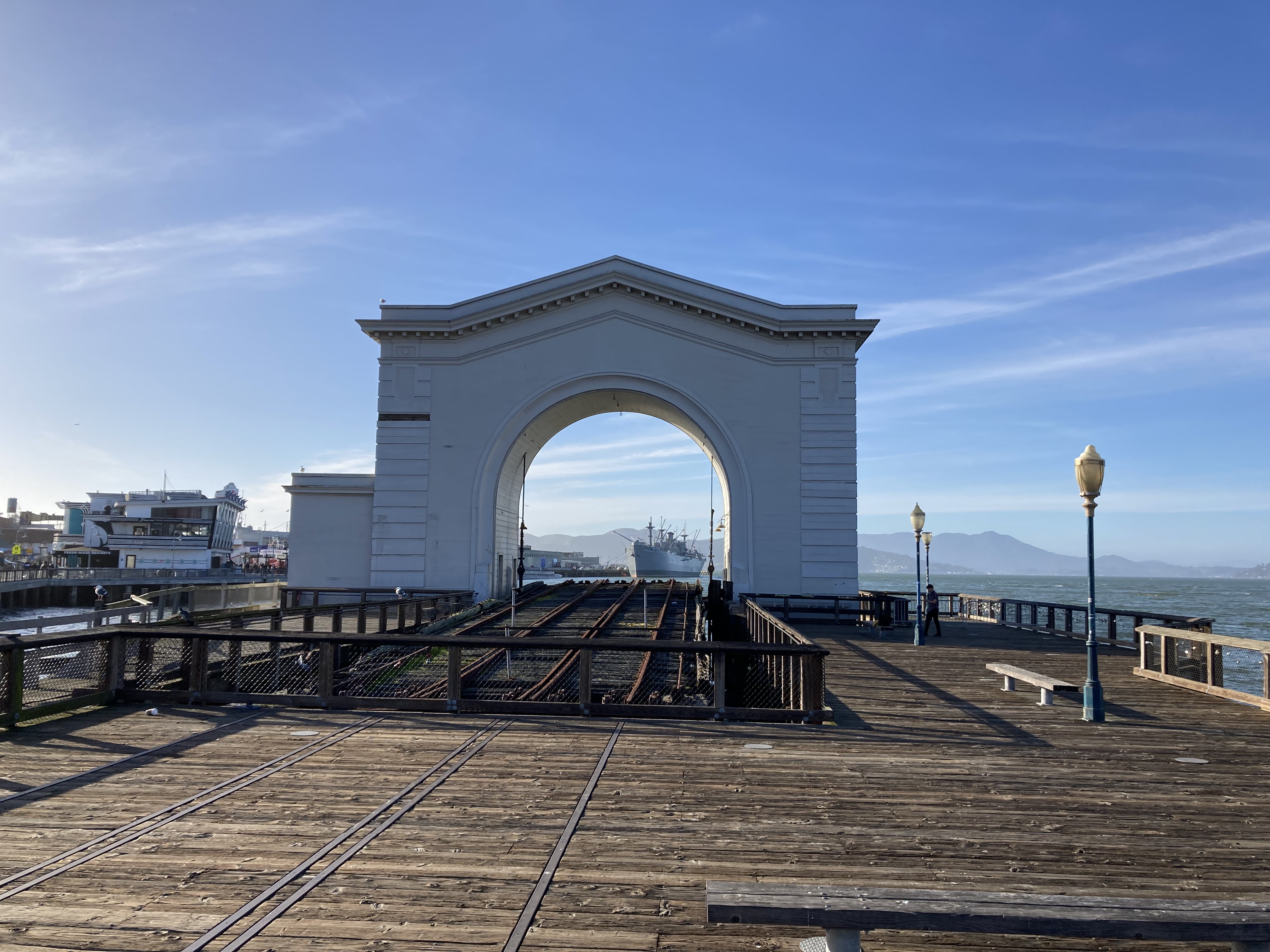
I passed by the Pier 43 Ferry Arch, through which I could see the USS Pampanito, a WWII naval submarine, that has a museum and memorial.
Beyond this is the San Francisco Maritime National Historic Park, where restored 19th and 20th century ships line Hyde Street Pier, along with a Visitor Center and Maritime Museum.
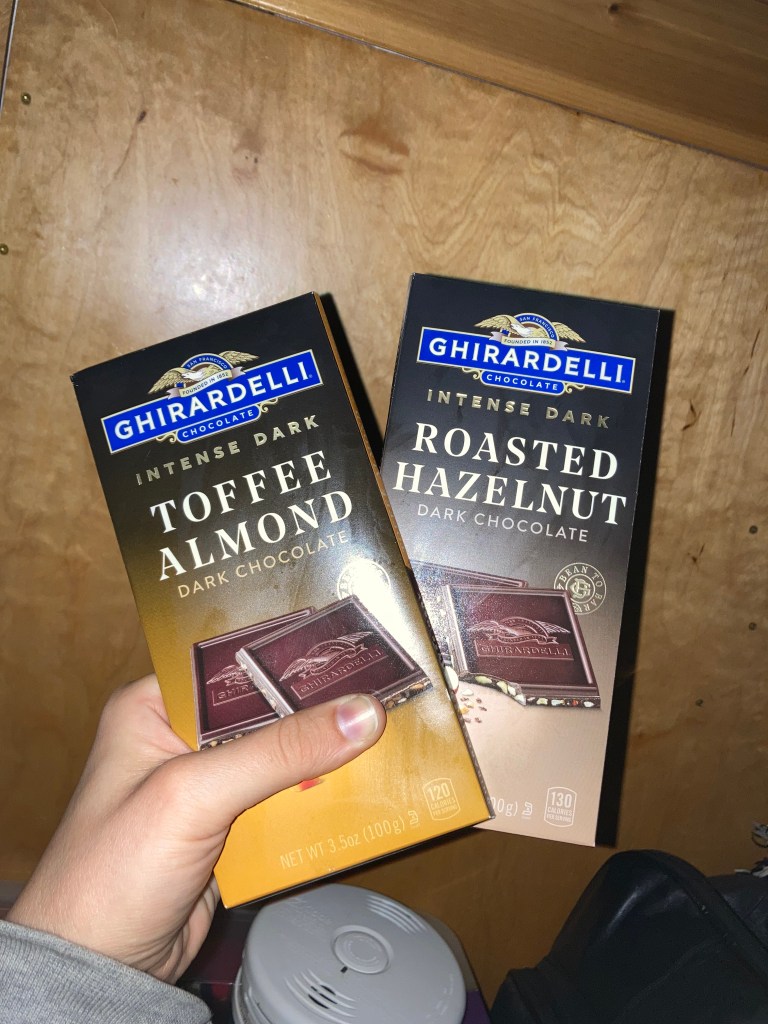
I kind of just took a look at the boats – I was more interested in Ghirardelli Square.
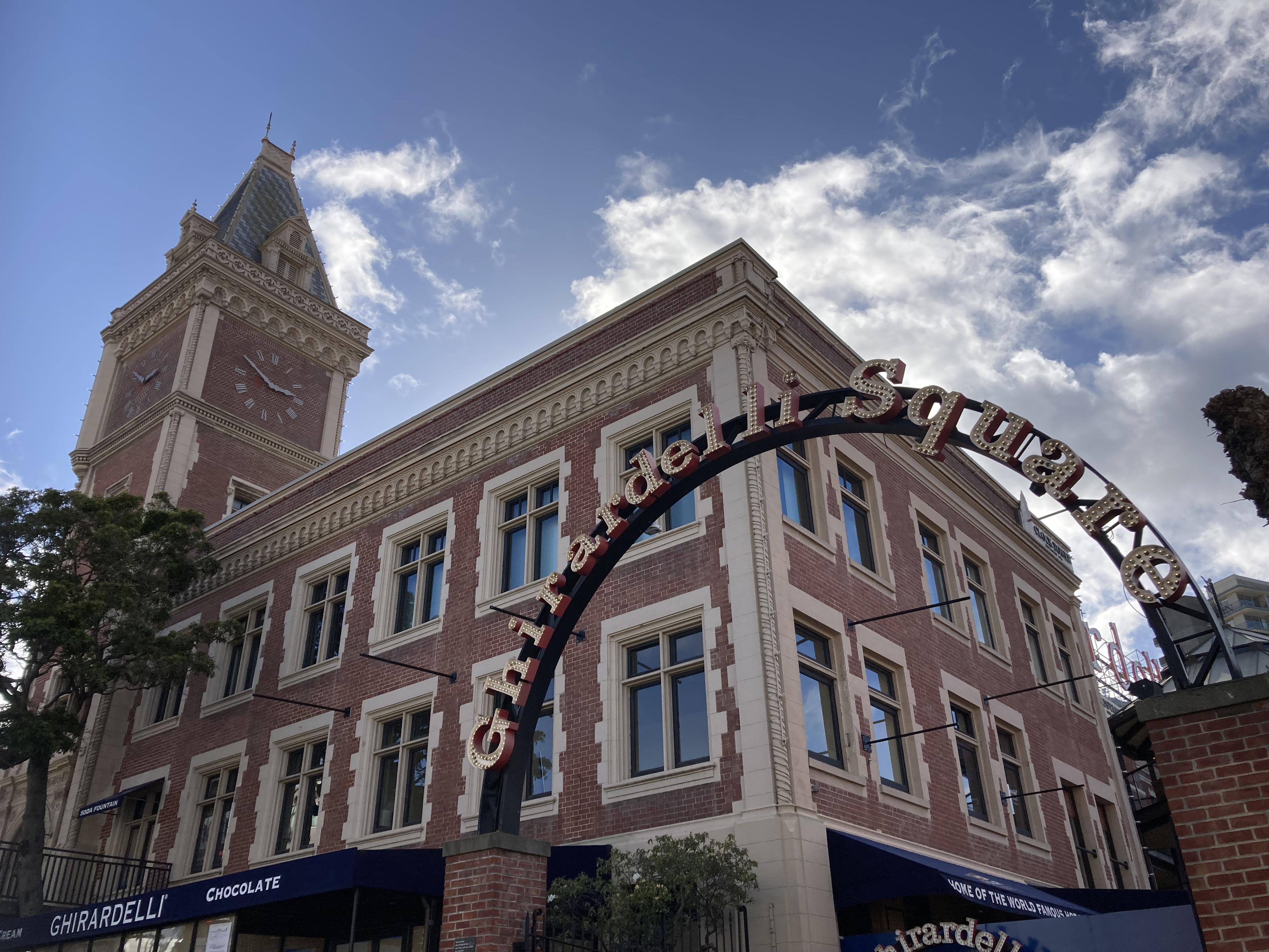
I got some chocolate and explored the area. There are lots of shops to check out.
There’s also Del Monte Square nearby, where the historic buildings were built as a food cannery and warehouse by the California Fruit Canners Association, which became Del Monte as we know it today. It was the largest fruit and vegetable cannery in the world and contributed to San Francisco’s waterfront development. You’ll find The Cannery here, one of the old buildings that now houses various shops. I love to learn history like this, and now I know Del Monte and Ghirardelli are from SF!
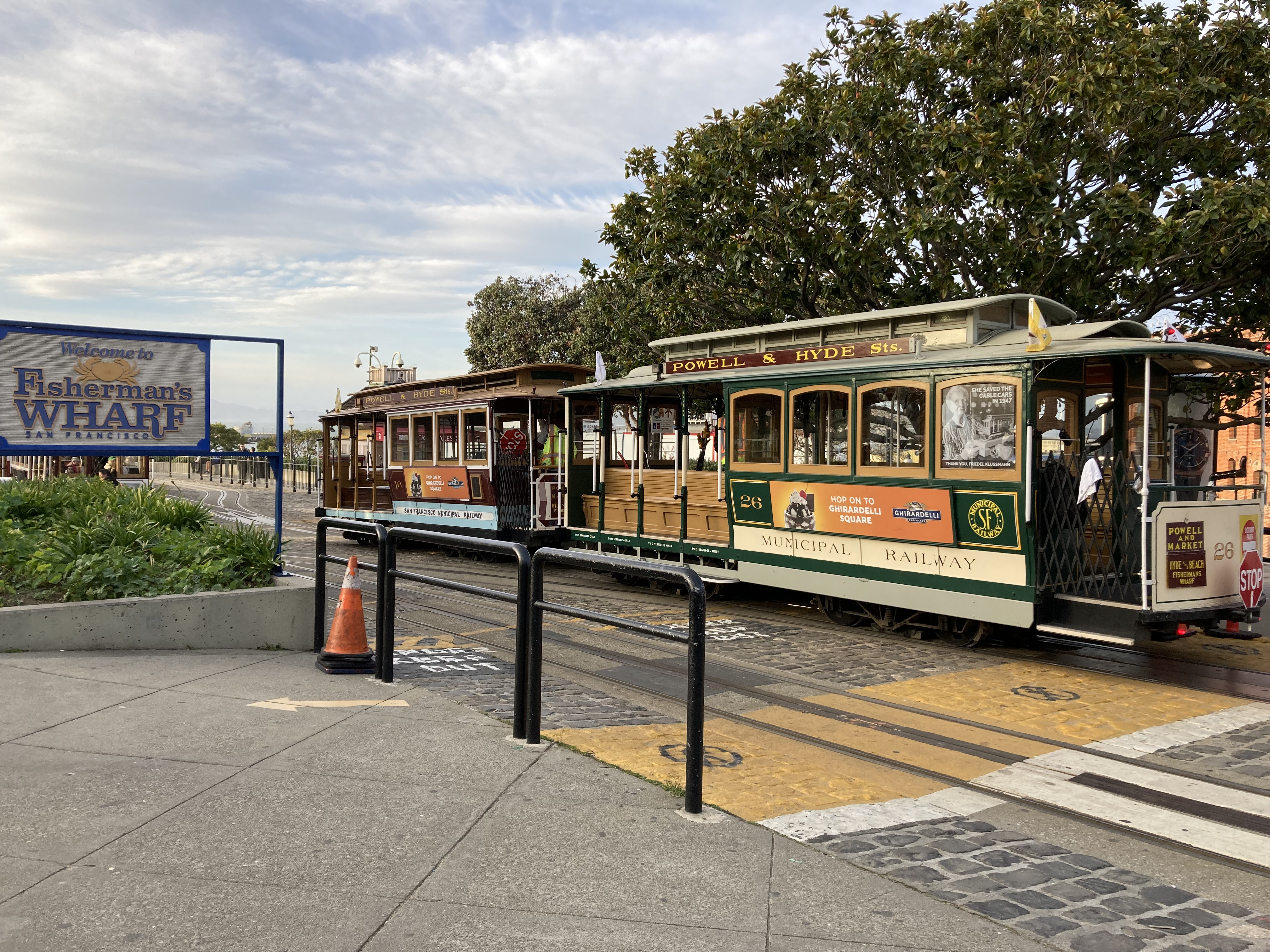
I even got a glimpse of one of the cable cars.
It was starting to get dark and I was dead tired, even getting blisters, so I headed back to the ferry terminal, walking back through Fisherman’s Wharf and along the Embarcadero.
The van was good when I got back, which brought great relief. I headed to my GGB vista point overnight, knowing I needed another full day to tackle some very important places that I hadn’t gotten to yet. It was a great feeling, after a successful day, relaxing, with another jam packed exciting day ahead.
Day 2
I woke up early again, to find that the van parked next to me was from Quebec! If I hadn’t been in a rush to catch the ferry to SF I might have struck up a convo with the owner – it’s exciting to see people from your neck of the woods in foreign lands.
It didn’t actually dawn on me that it was Valentine’s Day until I got off the ferry at the Ferry Building and there were art installations of hearts on display everywhere.
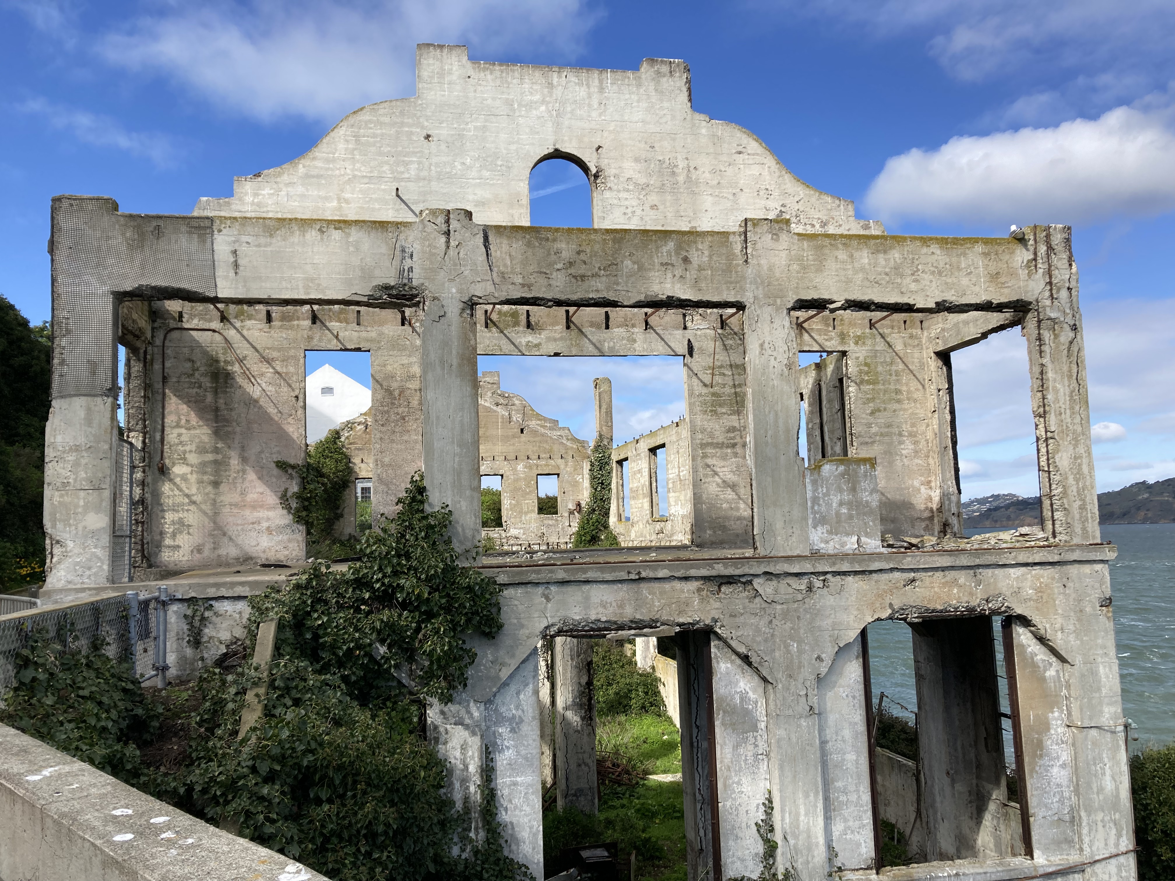
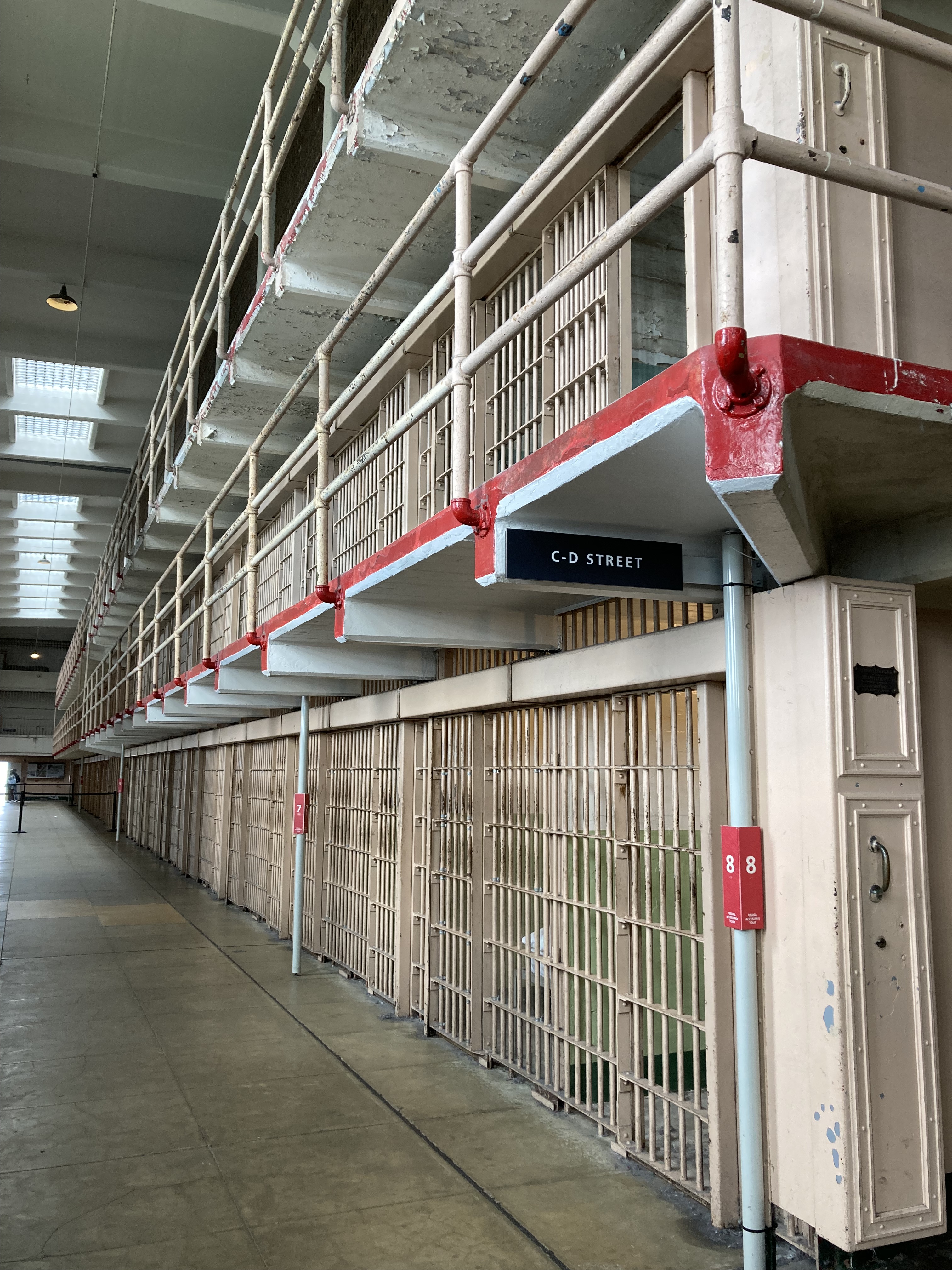
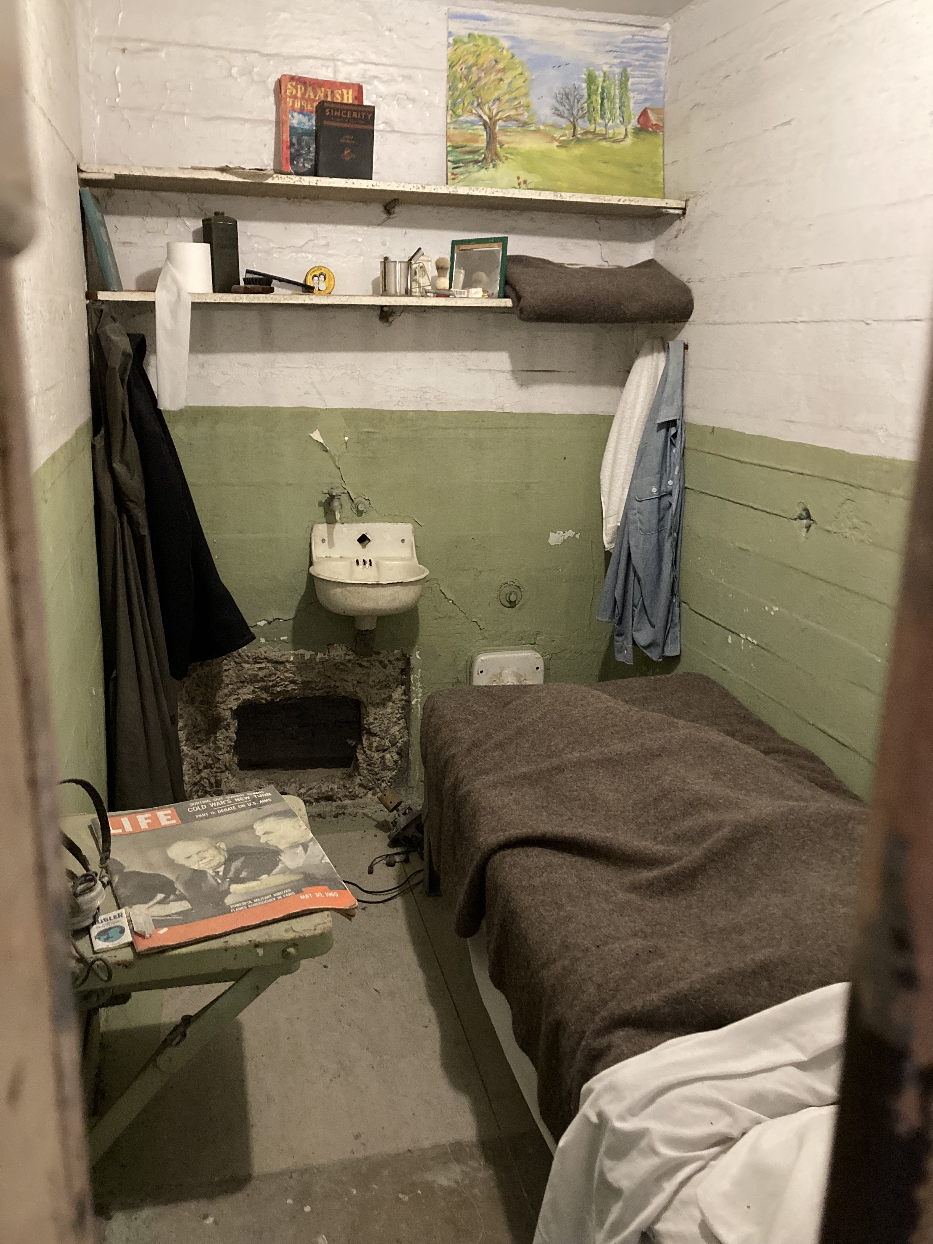
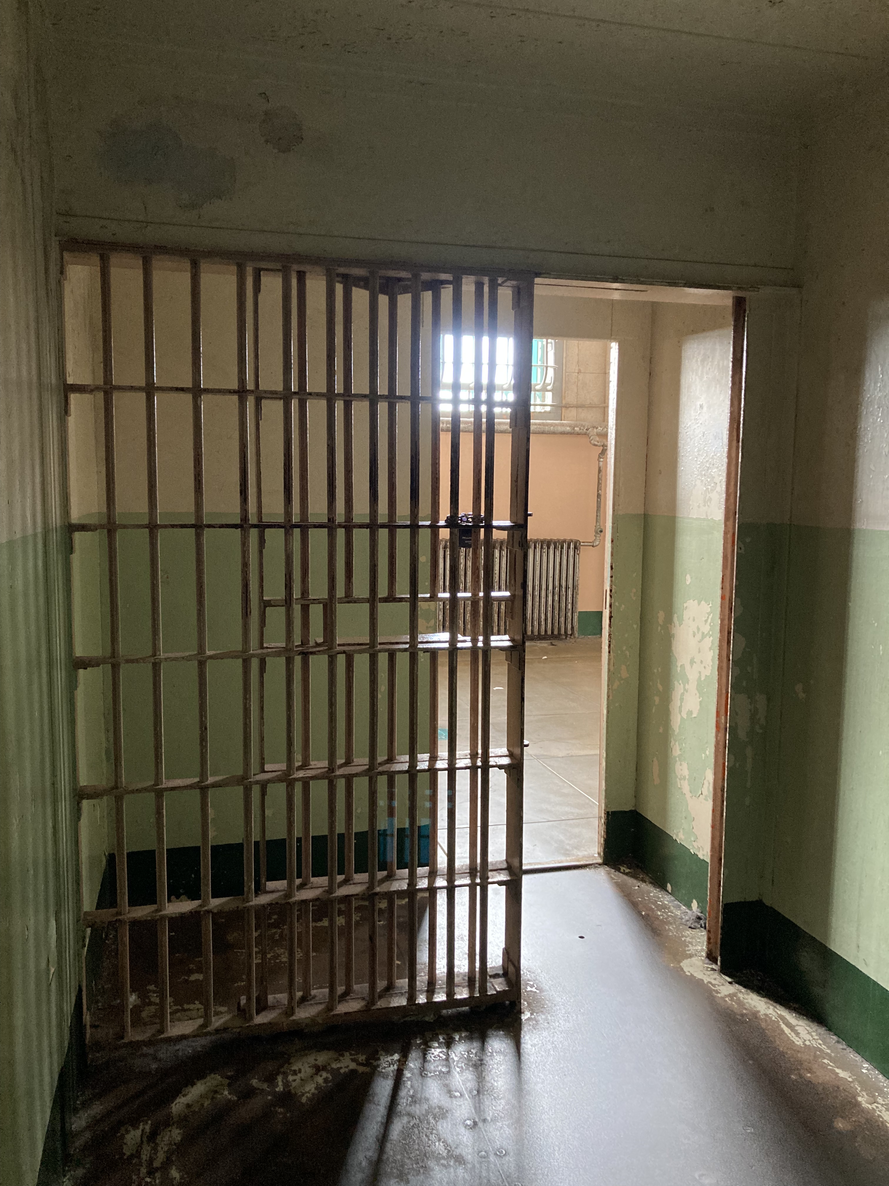
I picked up a coffee and a samosa in the Ferry Building and headed to Pier 33 to catch the ferry to Alcatraz Island! I love exploring old historic buildings anyways, preferably haunted mansions, but a notorious jail hits the mark, too. Famous prisoners, escape plans, Native American presence. Not to mention displays that get you thinking about the ethics and functionality of the prison industrial complex, and how incarceration has been viewed as modern day slavery.
Once back at Pier 33 I started walking west. I passed through Fisherman’s Wharf again, past Ghirardelli Square, and past Fort Mason. Fort Mason is a former US Army post, now a historic district within Golden Gate National Recreation area. It has some buildings still used by the army, other buildings used as rentals, parks, gardens, and the Fort Mason Center for Arts & Culture.
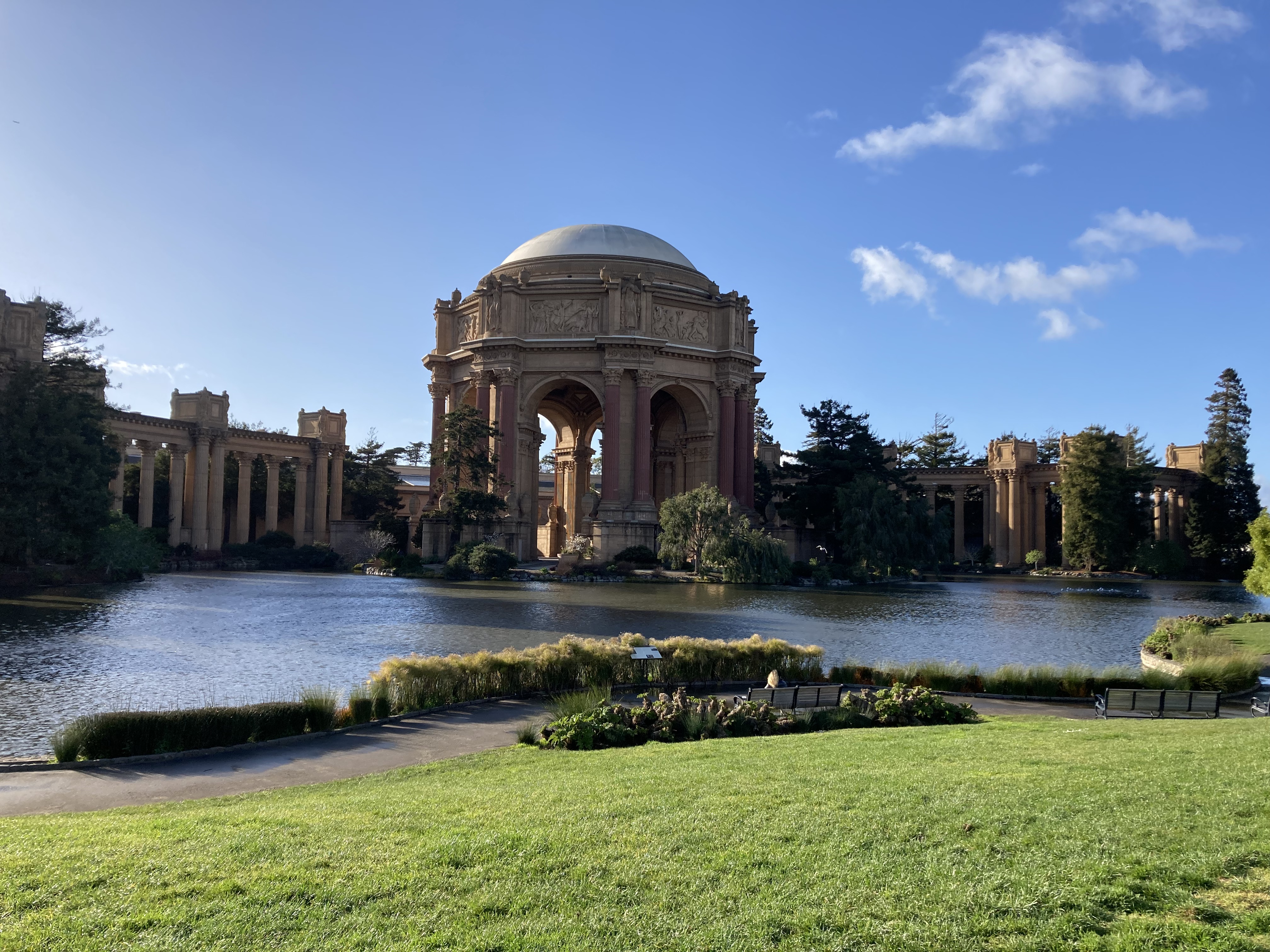
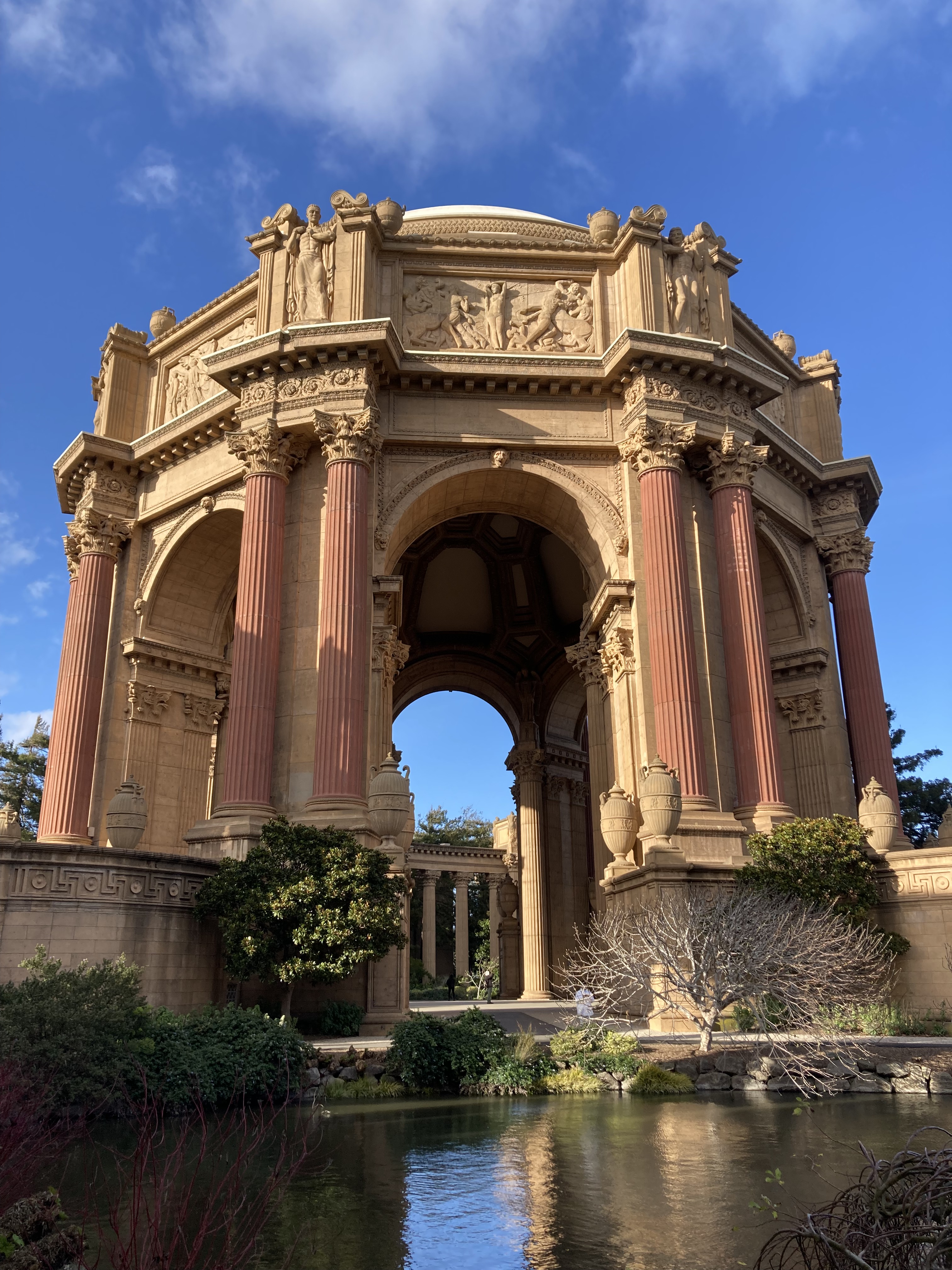
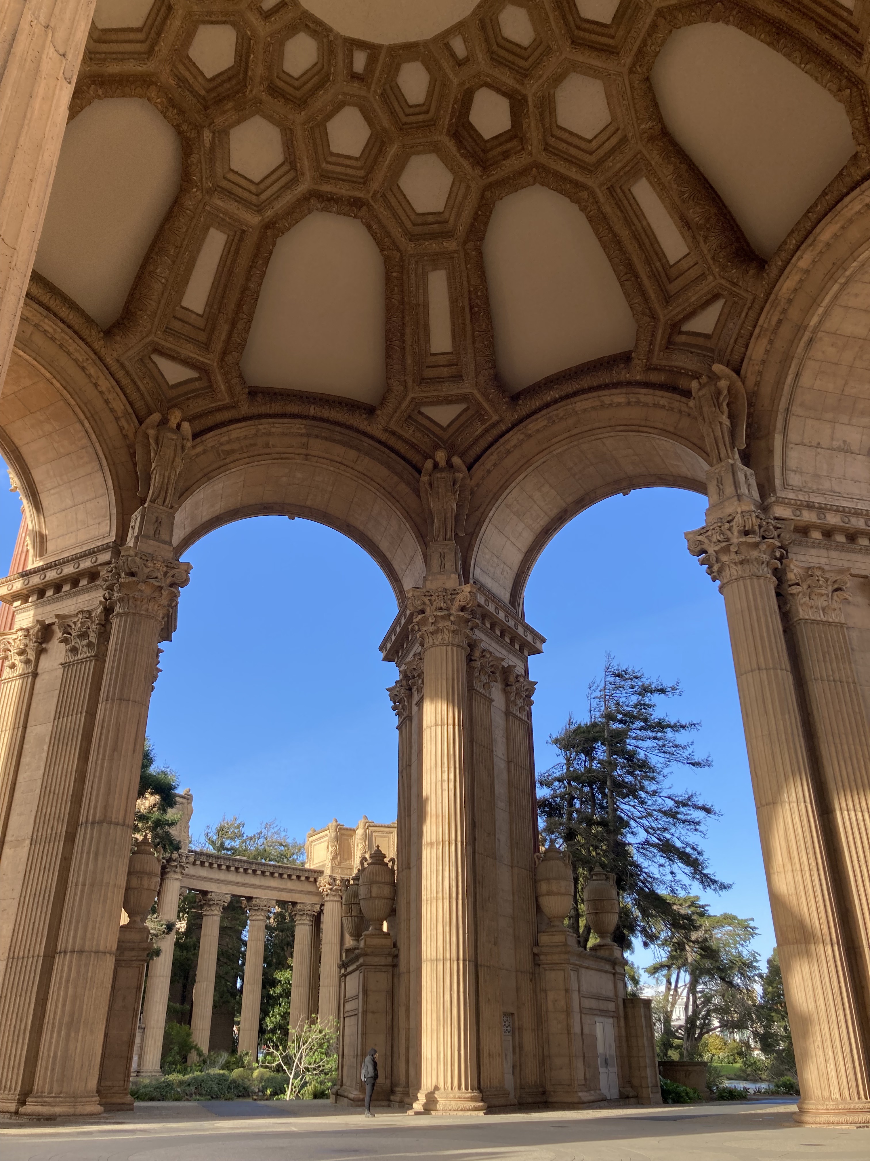
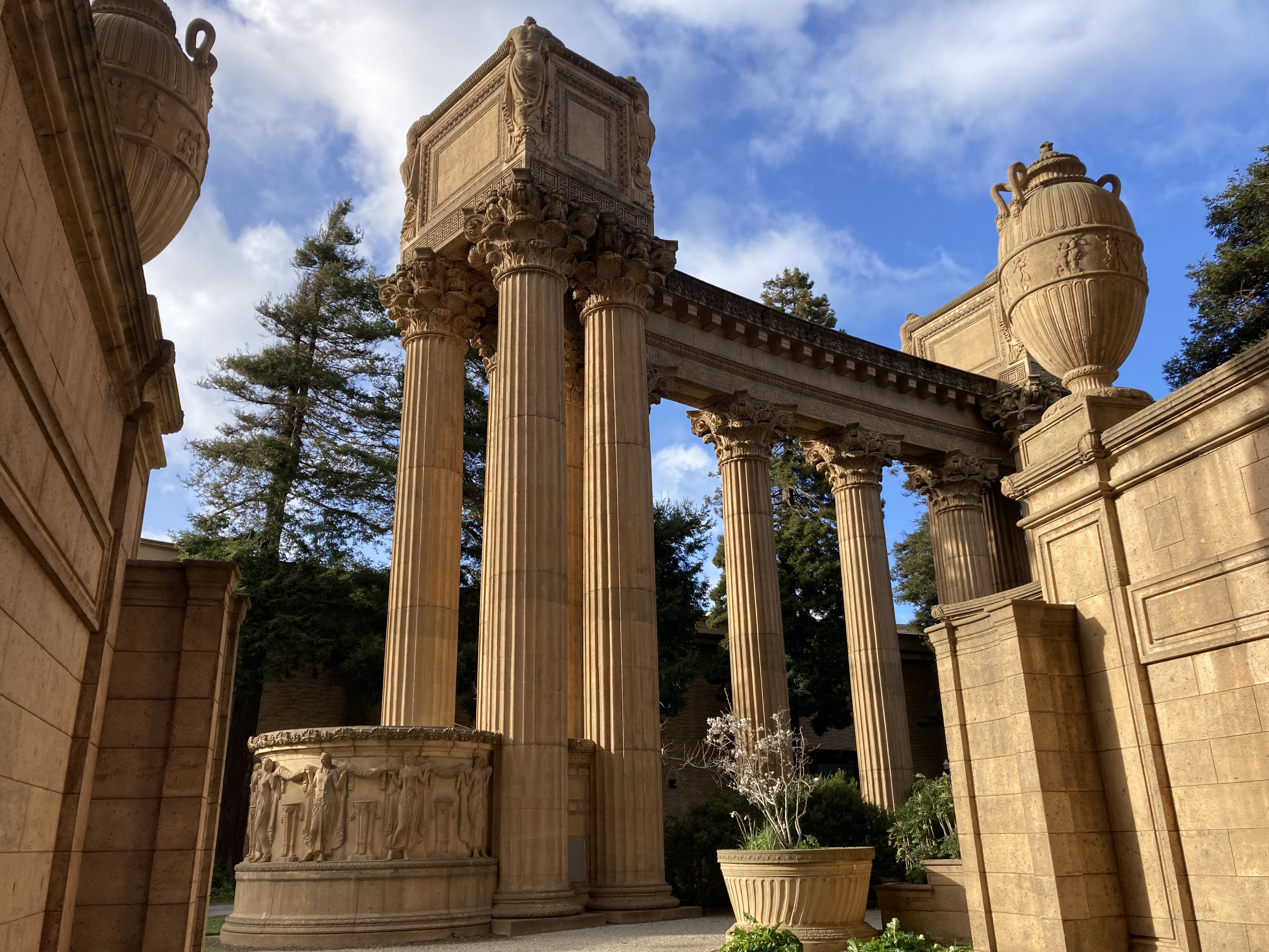
It started to rain on me as I walked through some pretty neighbourhoods on my way to the Palace of Fine Arts.
The Palace of Fine Arts is absolutely stunning and I loved it. A popular destination for wedding photos, it is an architectural landmark in Greco-Roman style alongside a lagoon on the western edge of the Marina district, bordering the eastern side of the Presidio.
While I did not explore the Presidio in depth, I took an uber through it and thought it quite pretty. “Presidio” means fortified base, and the Presidio of San Francisco is a park, formerly an army base. It was established as a fortified location in 1776 and is located on the tip of the San Francisco peninsula, at the southern base of the Golden Gate Bridge. It switched from military use to commercial and public use in 1994. Here you will find beaches, hiking trails, Golden Gate Bridge viewpoints (I missed these and will definitely have to go here for those next time), Fort Point National Historic Site, Walt Disney Family Museum, and a Yoda Fountain.
I took the uber because my next stop was Haight-Ashbury, which would have taken an hour to get to on foot. I wanted to make the most of my time sight seeing, and the route by foot would have taken me through some of SF’s worst (unsafe) neighbourhoods.
Haight. Ashbury.
This was by far one of the most exciting places that I visited in San Francisco. The history – the hippies, the music, the Victorian style homes. Visiting places that are steeped in something of personal interest to you is a recipe for the most impactful trips.
South of the Presidio is Golden Gate Park. East of this park is Haight Street (Ashbury intersecting Haight a few blocks over).
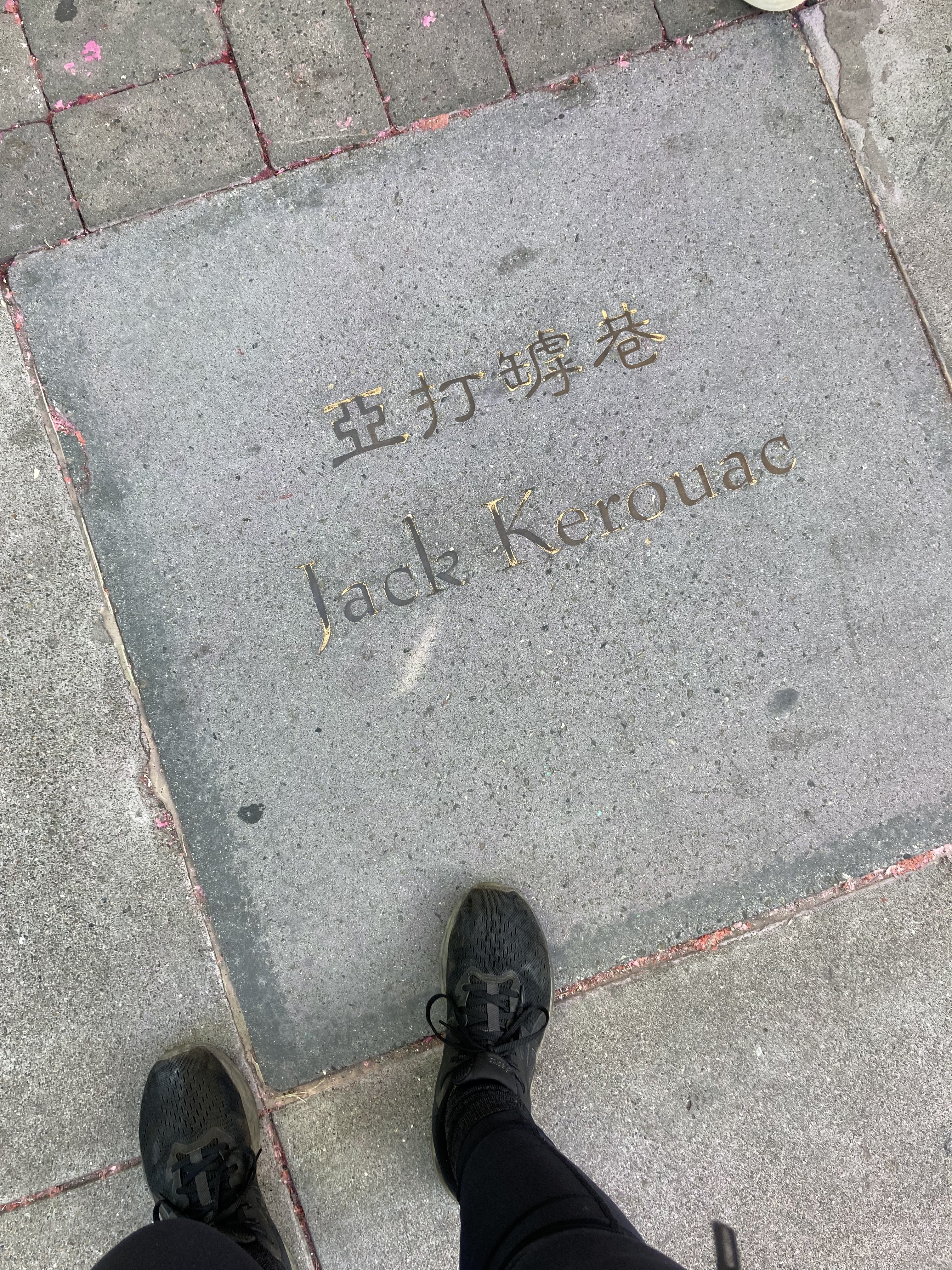
To understand Haight-Ashbury becoming hippie central, we can go back to the ‘Beat Generation” or “beatniks” of the 1950s and ’60s. These were people that were part of a counterculture, who rejected materialism, consumerism, conformity, and traditional social norms, like a work-focused suburban life. They were considered intellectuals who sought liberation through art, travel, existentialism, eastern philosophy, and spiritual exploration. They gathered in urban hubs, coffee shops, where jazz was played or poetry read aloud. Authors like Jack Kerouac were influential, though early figures were a bit different from those who adopted their views through pop culture expansion.
The Haight-Ashbury neighbourhood was low-rent in the ’50s and ’60s. And in 1967, the Summer of Love, it was an ideal place for youth to descend. There were multiple factors that drew people here. Jack Kerouac (On The Road) and other Beat Generation authors had flourished in San Francisco. A precursor to the Summer of Love was a celebration in January of 1967 called the Human Be-In, at Golden Gate Park. At this event, the phrase “turn on, tune in, drop out” was coined, which shaped the hippie counterculture and 1960s rebellion. It played into ideas of political decentralization and dropping out of society, leading to the popularization of the term “drop out” among high school and college students. The Human Be-In saw around 30,000 attendees, drew attention to hippie fashion, and touted values of compassion, awareness, love, and unity.
Media coverage of the hippie influx to the SF area drew even more attention, on a national scale. So did some music festivals in the area, leading to around 100,000 flocking to Haight-Ashbury. The song San Francisco (Be Sure To Wear Flowers In Your Hair), performed by Scott McKenzie, was also a hit (released in May of 1967) – essentially an invitation (and anthem) for the Summer of Love.
Haight-Ashbury could not handle this number of people, and the area became overrun and seedy, with many homeless youth left wandering the streets, and drug problems developing.
Locals avoided the area in the ’70s, but in the ’80s people started buying the Victorian homes and restoring them. Now the neighbourhood is a colourful, historical attraction, an ode to a very interesting period of history.
There is a lot about these beatnik and hippie counterculture movements that I personally relate to. But having some friends involved in punk scenes, I had come across the punk dislike of hippies. I didn’t understand it initially, but my time in Haight-Ashbury peaked my interest and pushed me to search for an answer. This was the best explanation I found:
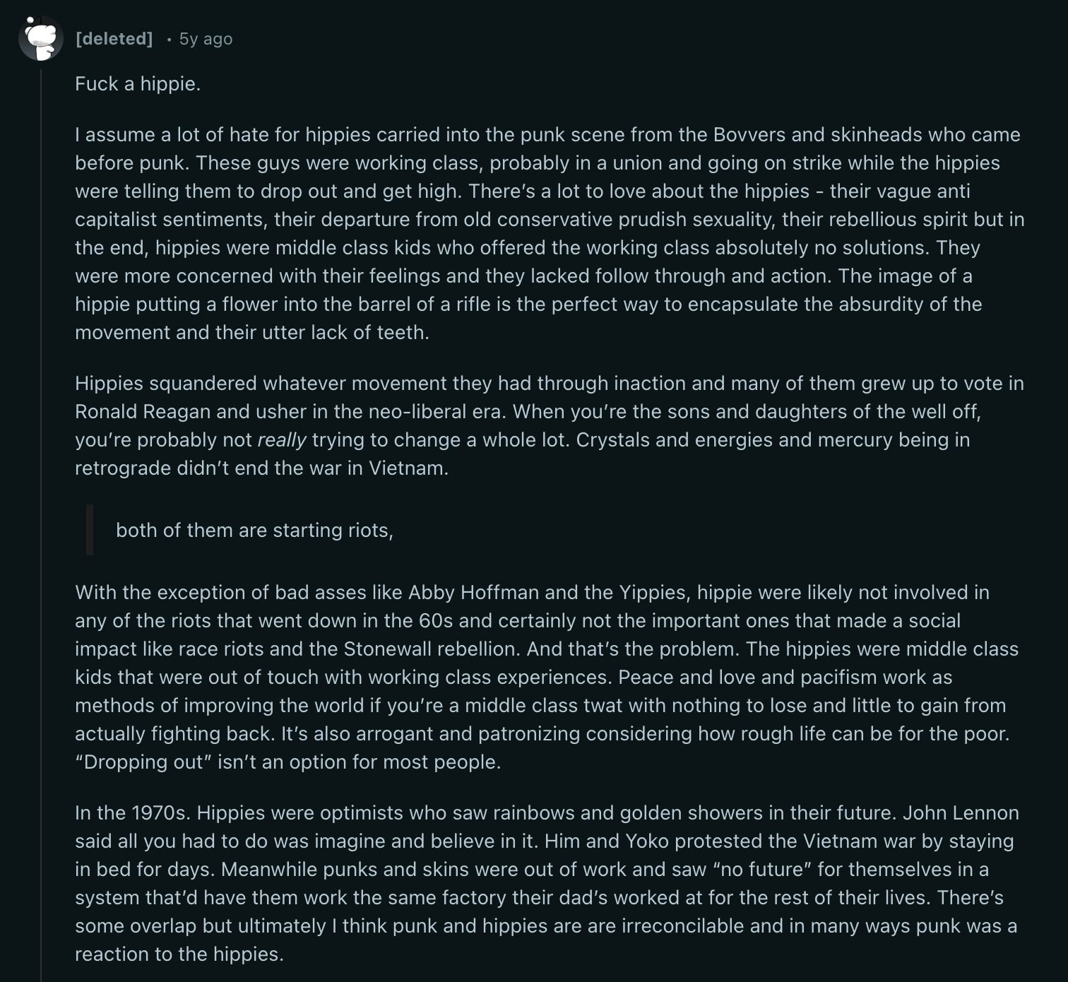
While I was walking Haight Street and taking in the rich hippie history, I was blissfully ignorant to the above perspective. Now that I am aware – I respect it. I still have a special place in my heart for these counterculture movements and Haight-Ashbury, but I see the other side, too. And I think both have merit – bits and pieces anyways (it’s hard to argue with the punk take). I guess they’re both counterculture in their own way, but one should consider how class, privilege, and disconnect from society actually affect those around us (especially where hippies preached unity). Honestly – this pitting of two groups against each other deepens my interest even further, as it offers some very interesting and philosophical questions.
Now that the history lesson is out of the way – what is there to see in the Haight-Ashbury neighbourhood?
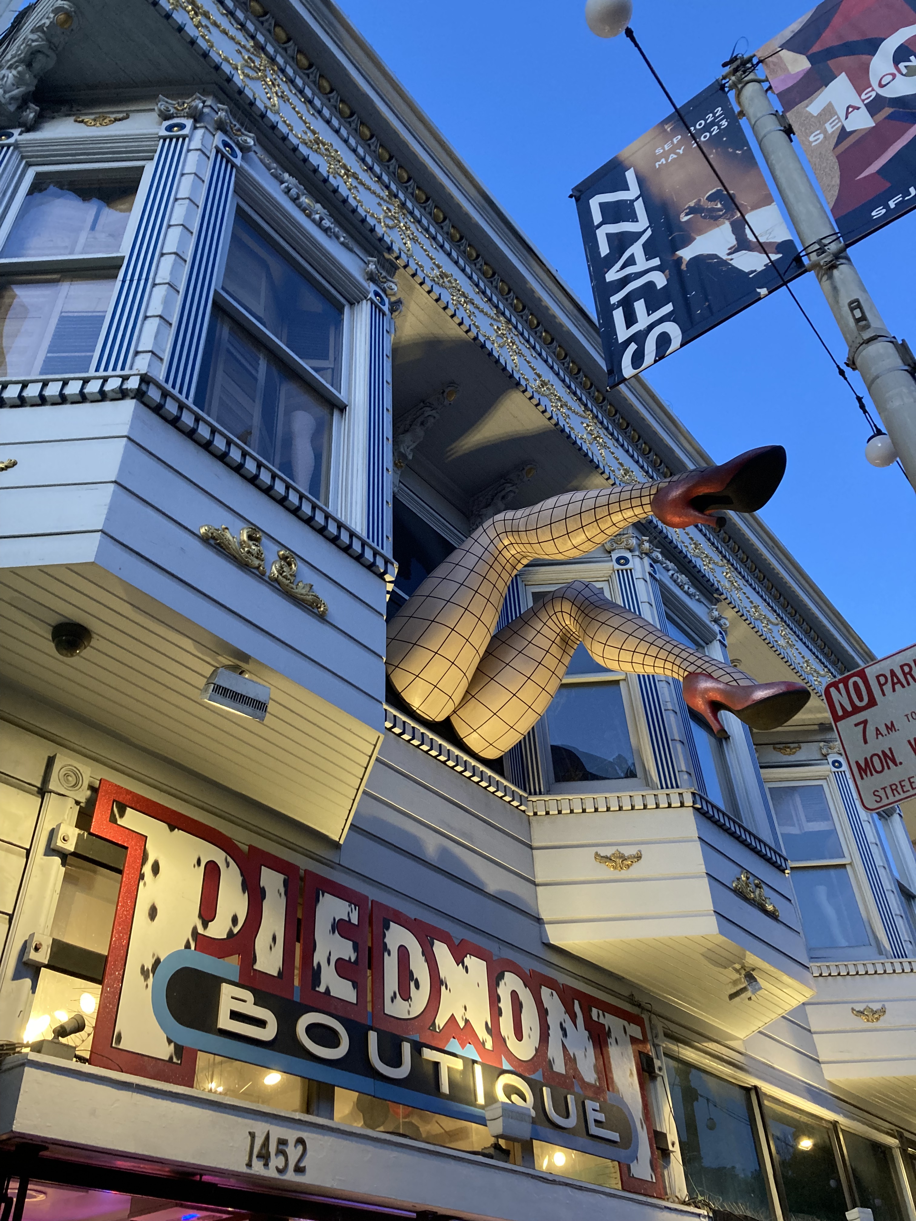
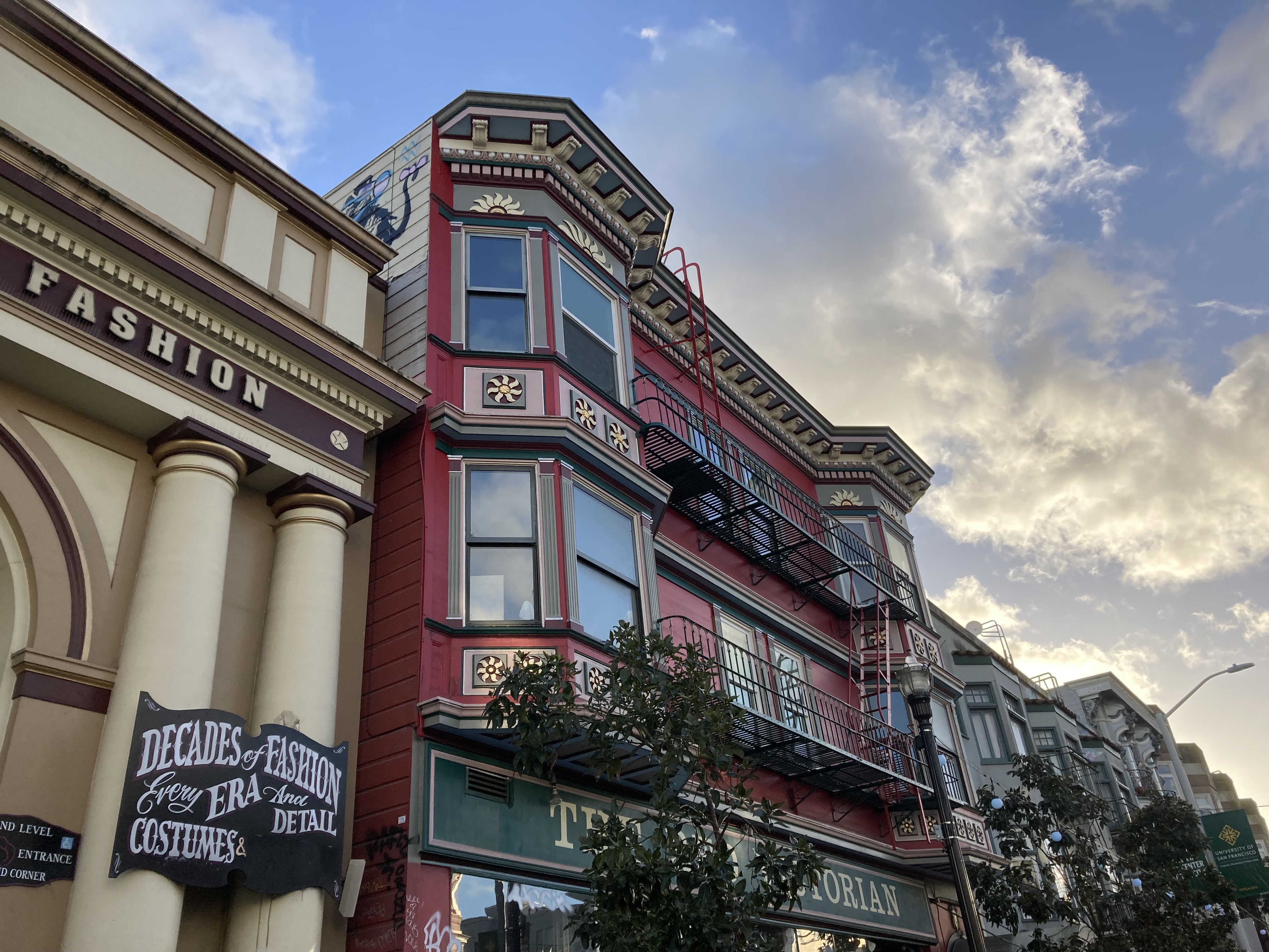
In general, Haight-Ashbury has all of the kinds of shops you would expect. It has the iconic record store Amoeba Music. It has a coffee shop in Coffee to the People. Magnolia Brewing, which has a past as the Drogstore Cafe, a hippie hangout in the ’60s, as well as a restaurant owned by burlesque queen Magnolia Thunderpussy, and a hippie holdout through the ’70s. Love On Haight – the most hippie store you could imagine. A costume shop in Piedmont Boutique (which is notable alone for the legs coming out the front of the store) and vintage clothing in Decades of Fashion. Twisted Thistle Apothecary (a crystal and herb type shop). Psychedelic SF, a gallery. And a nice little shop on the corner of Haight and Ashbury called Haight & Ashbury.
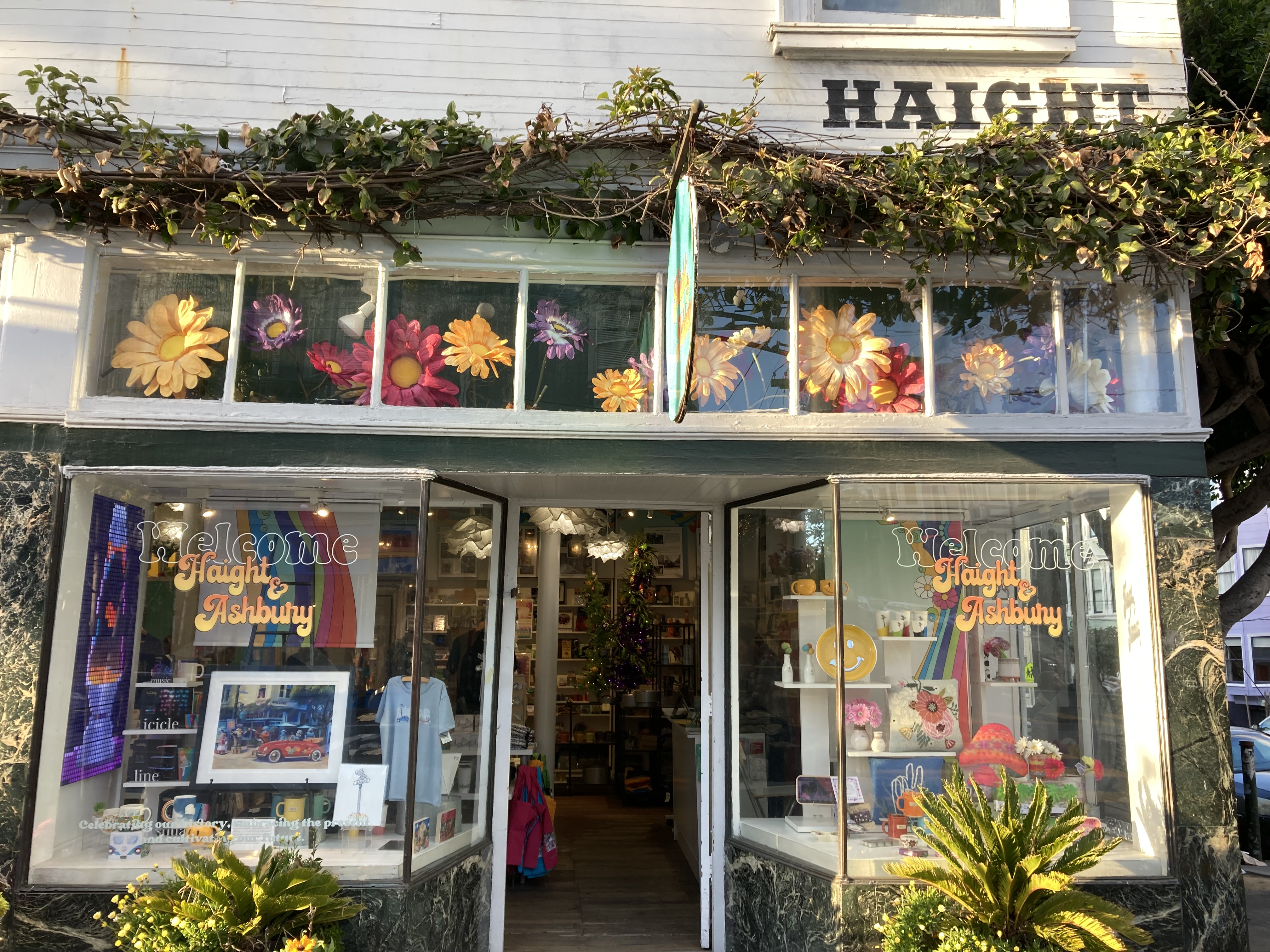
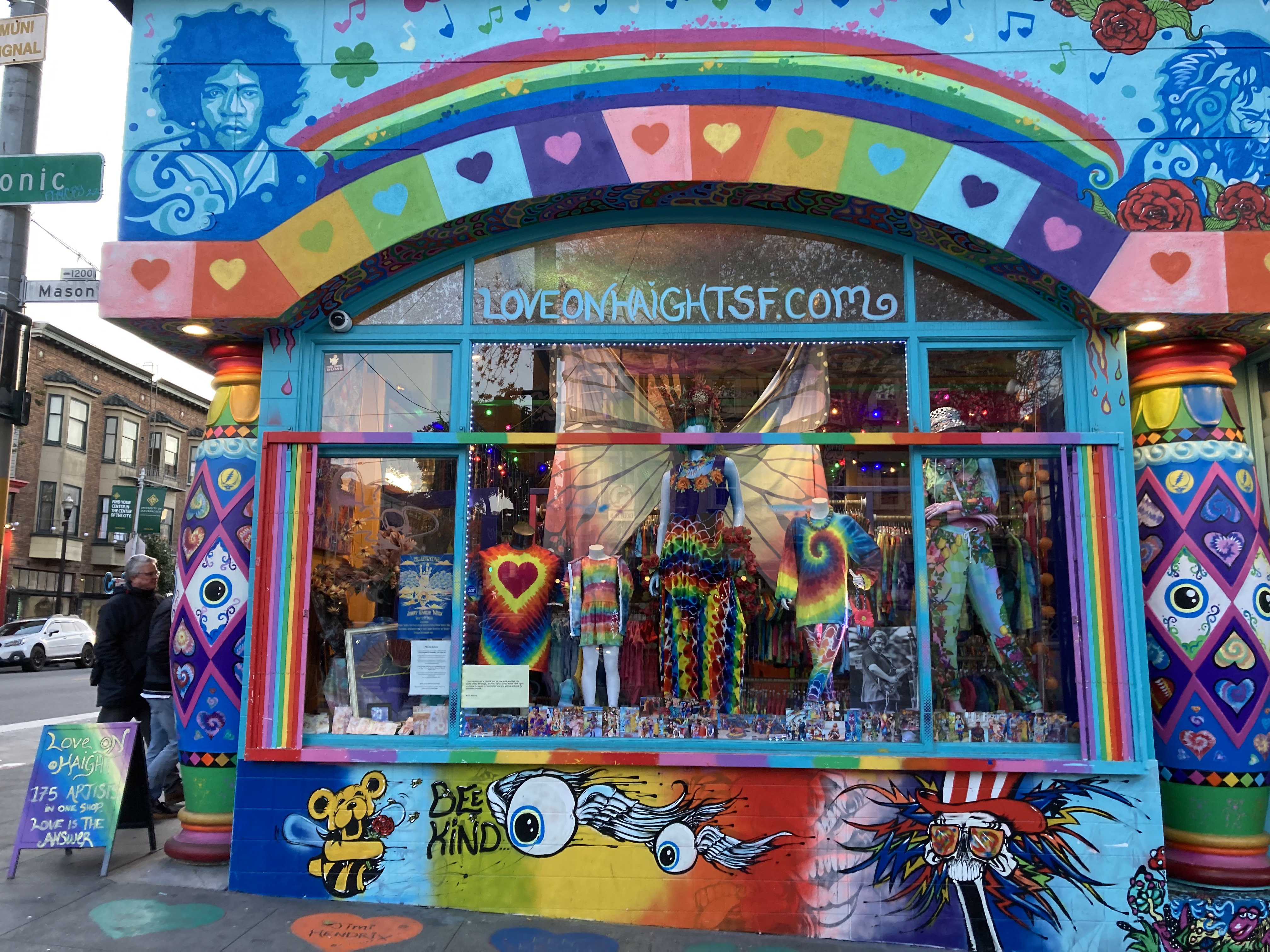
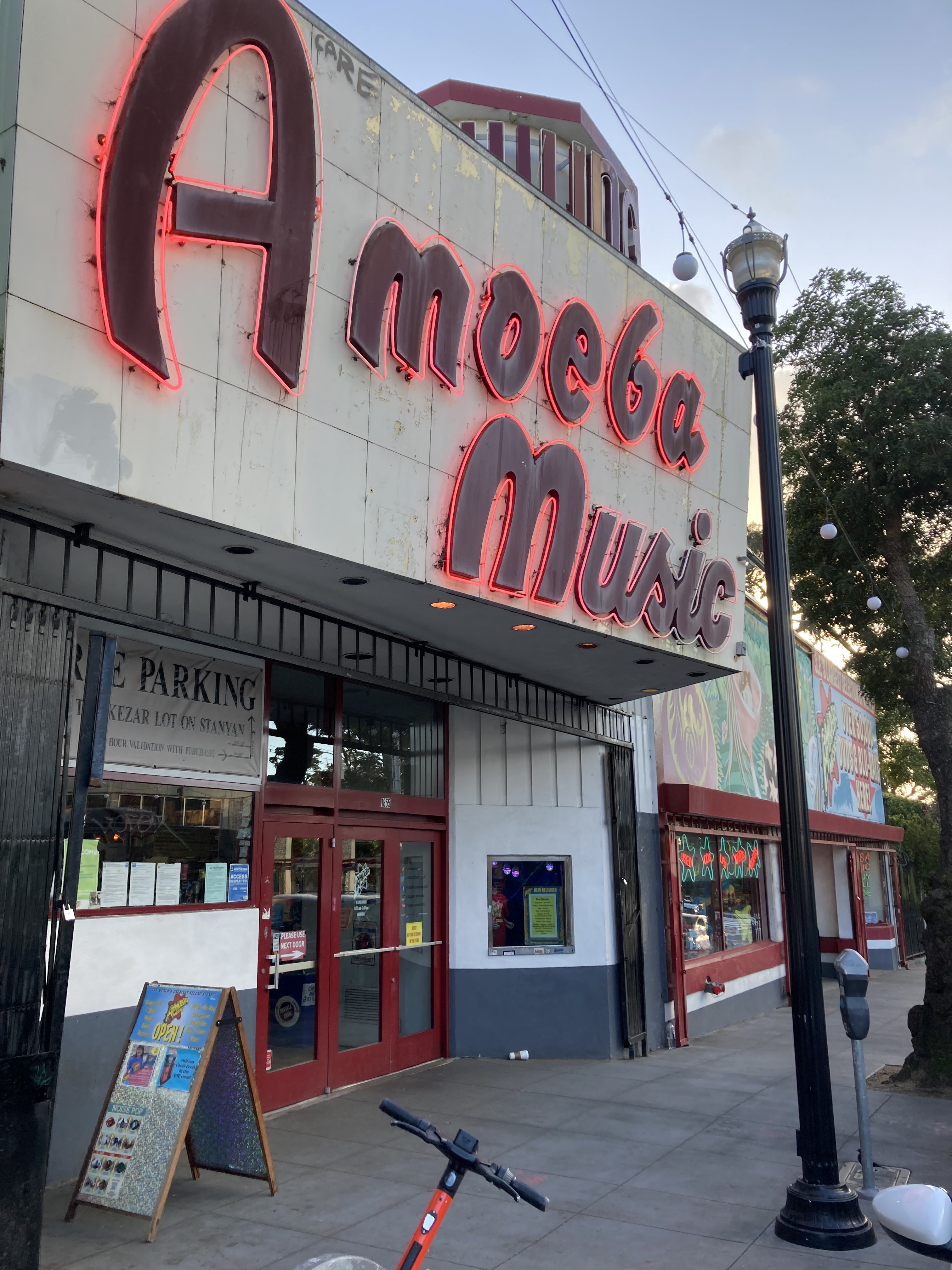
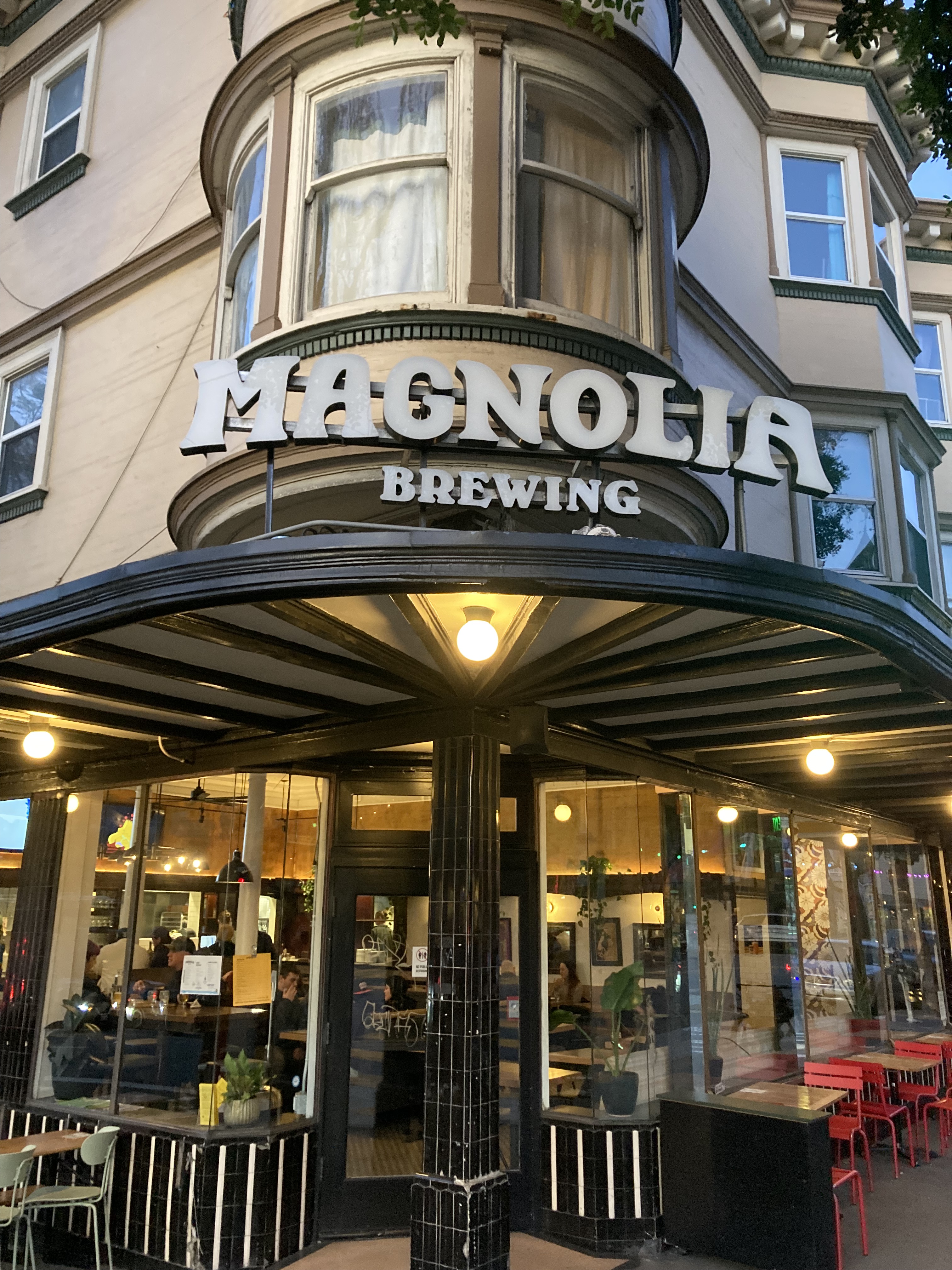
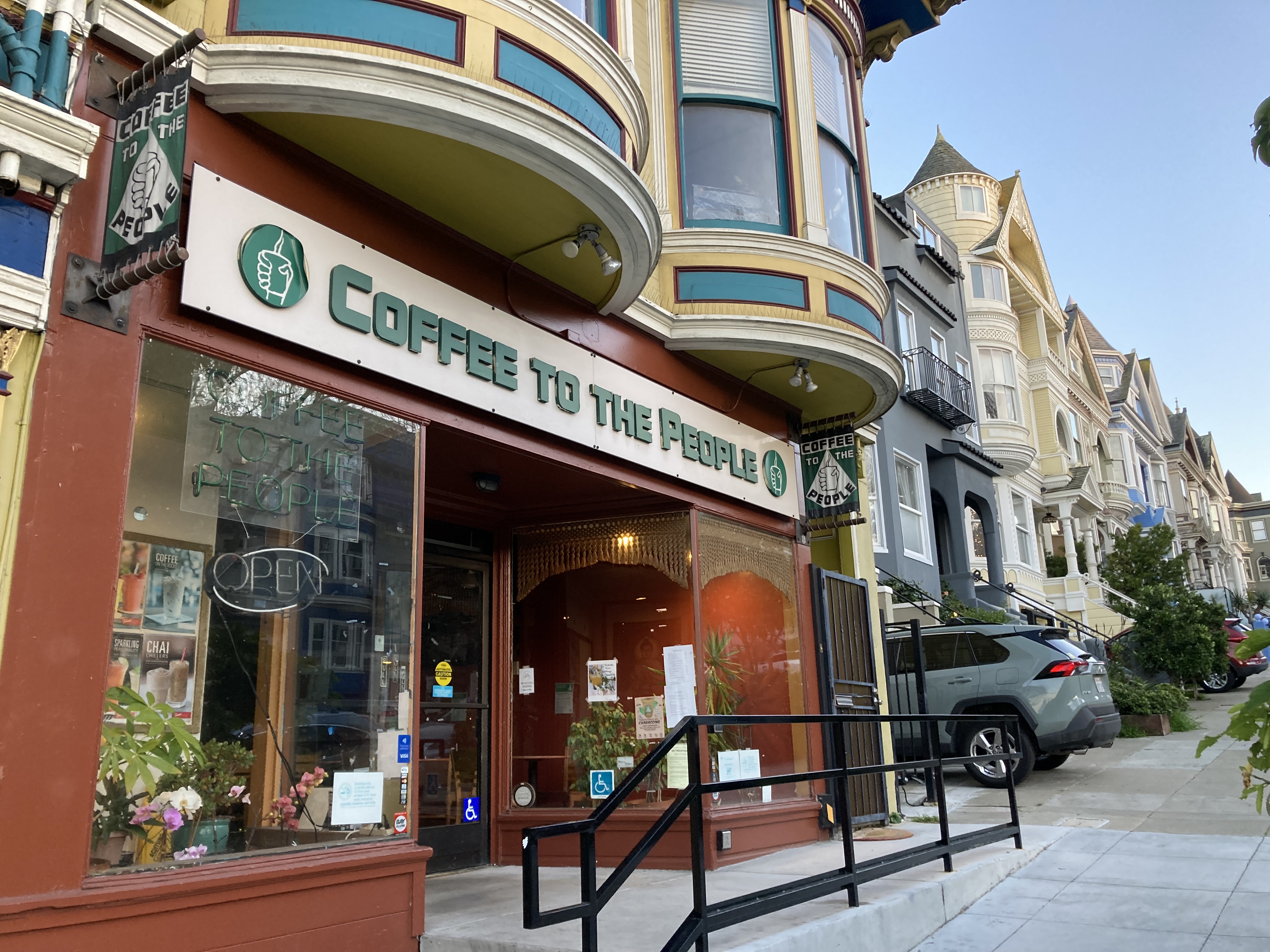
Just standing on the corner of Haight and Ashbury was a bit surreal. Fittingly, there was a crowd of homeless people hanging out here. I picked up some fun souvenirs at the store on this corner called Haight & Ashbury. Sadly Coffee To The People was closed by the time I got there – I would have liked to try one of their signature drinks, like Flower Power, Golden Gate, or Chocolate to the People. Love On Haight is just cool. A must see, tie-dye emporium, with hippie tenets on the walls, and employees that embodied the hippie spirit (very kind, uplifting, a bit airy-fairy). Amoeba just always excites me – as a famed record store would. And Magnolia was the perfect place to end my day, steeping in the history, and relaxing with some beers to sample.
Then there was the architecture and history of famous residents.
The first thing I actually did when I got to Haight-Ashbury was go for a walk through Golden Gate Park. The Grateful Dead, Janis Joplin and Jefferson Airplane, who had lived in the area, used to give free concerts in this park and at the Panhandle. There is a spot dubbed Hippie Hill and a tree where Janis played. Naturally, I wanted to see these locations.
As with any sight-seeing that includes residential homes and neighbourhoods, I tried to keep it lowkey and respectful – people still live here, even if they might be used to it, or knew what they were getting into when they purchased the buildings.
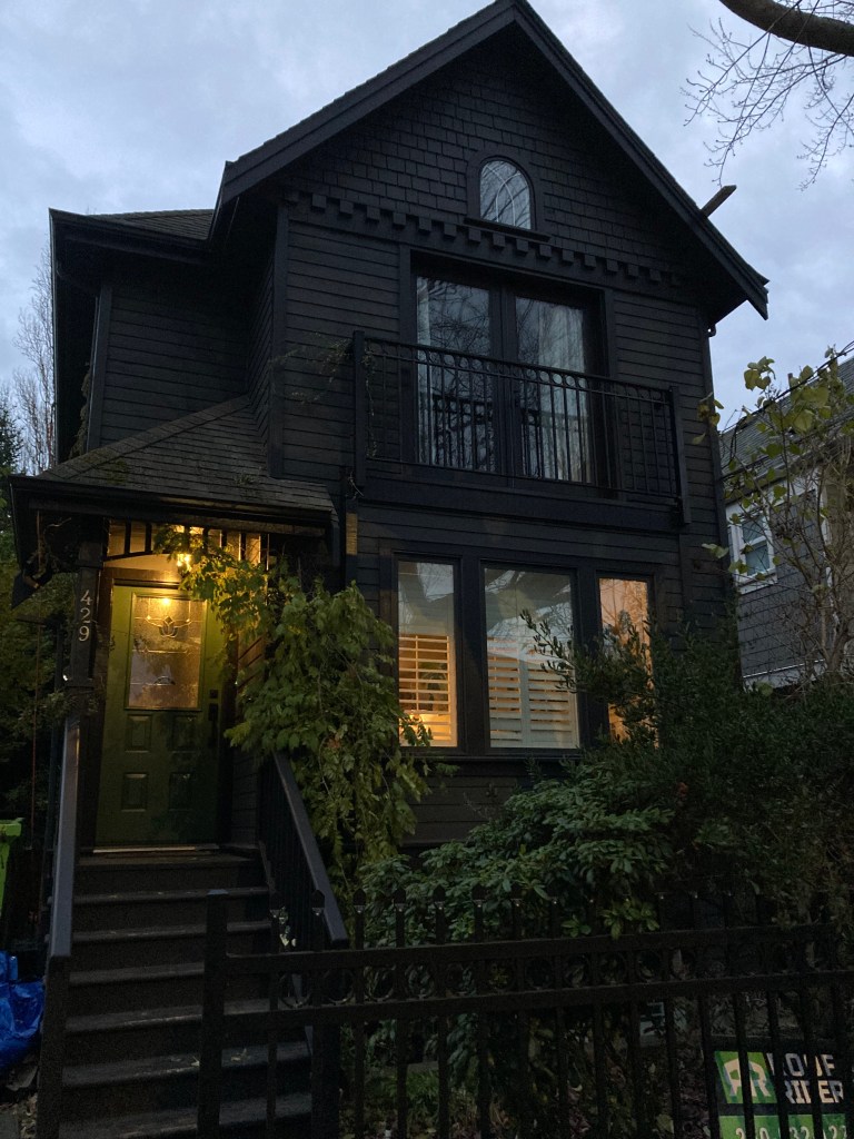
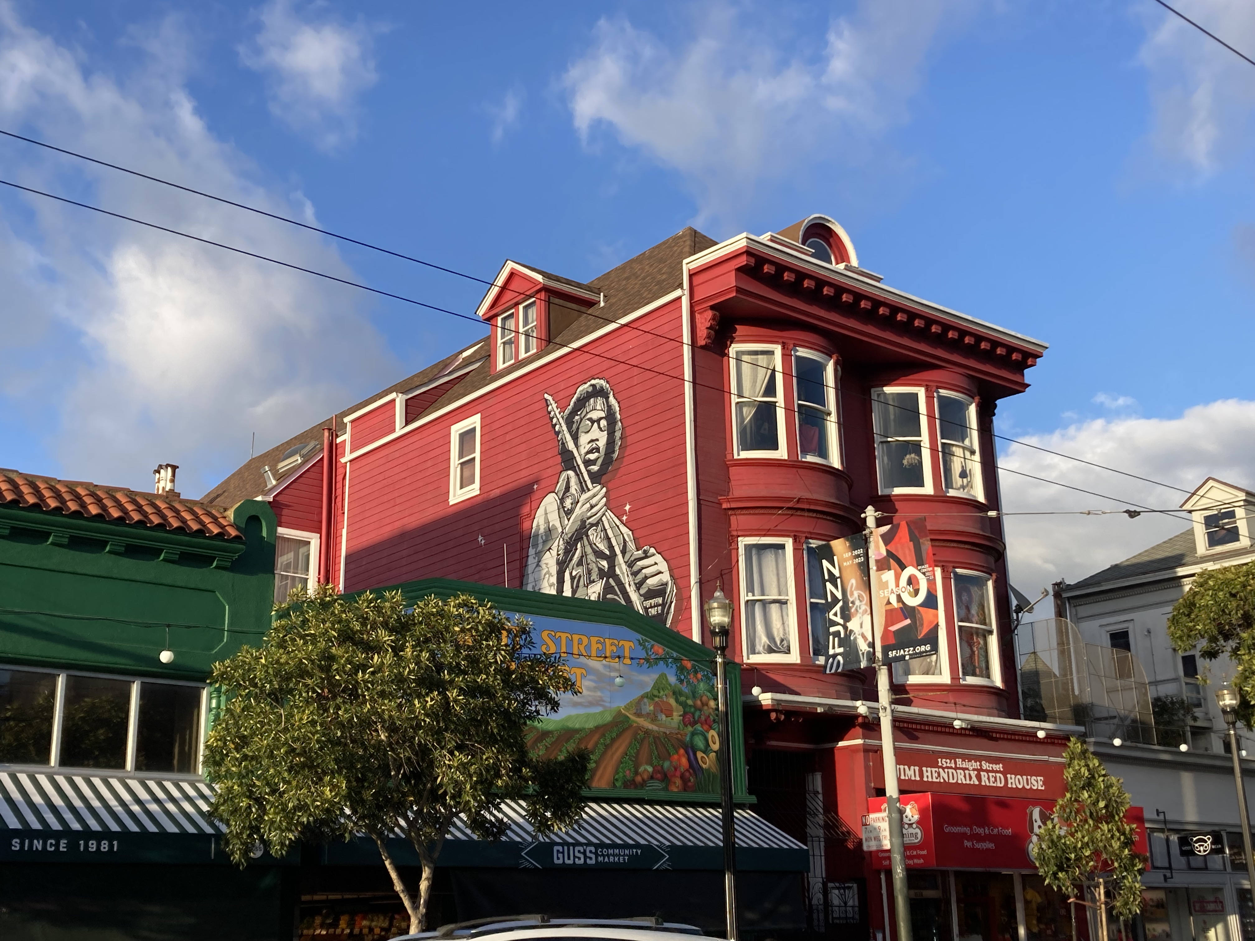
The first notable building I passed by was the Red Jimi Hendrix House at 1524A Haight Street. While rumours swirl unrelentingly saying that Hendrix lived in this apartment, it seems like this has been proven to be false. And the whole red house thing could just be alluding to the song of the same name. It’s a cool building though.
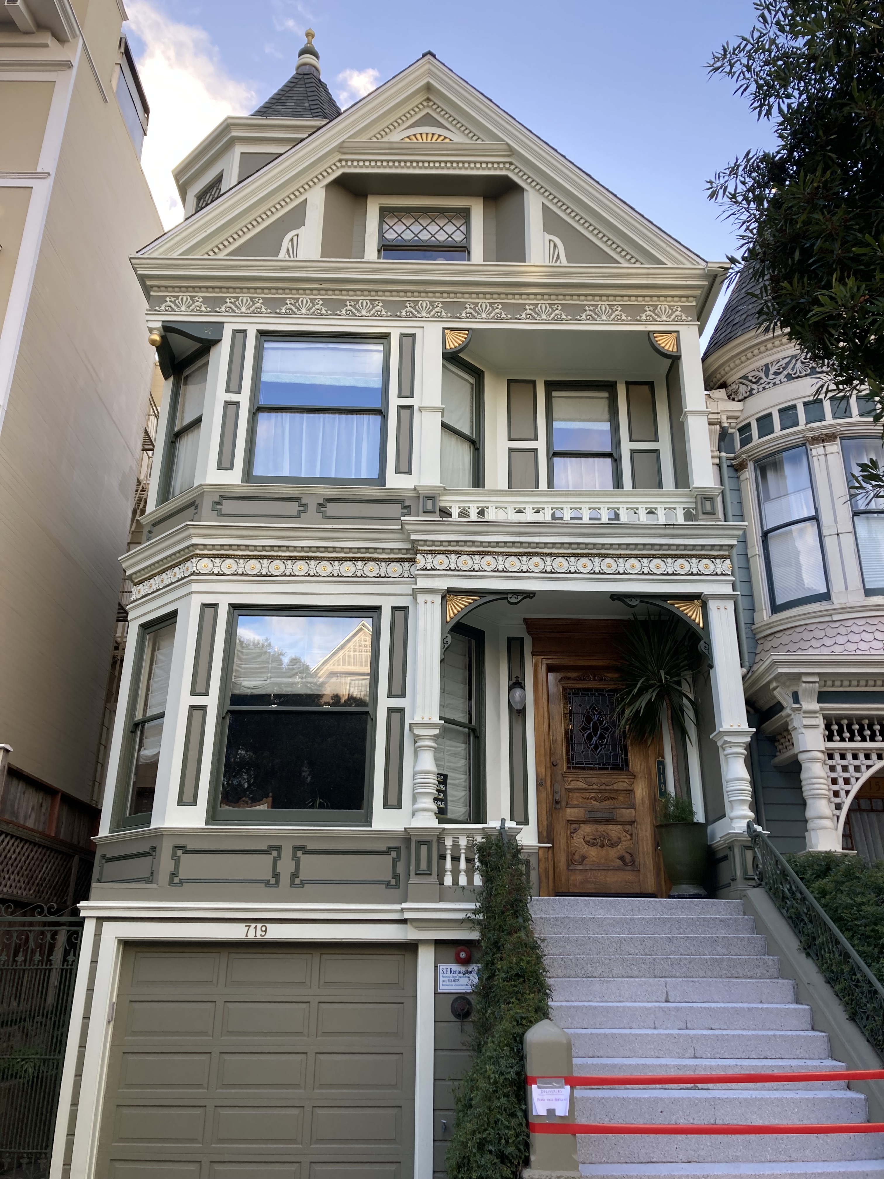
The Grateful Dead lived in the house at 710 Ashbury Street. Hell’s Angels’ headquarters was right across the street, at 719 Ashbury.
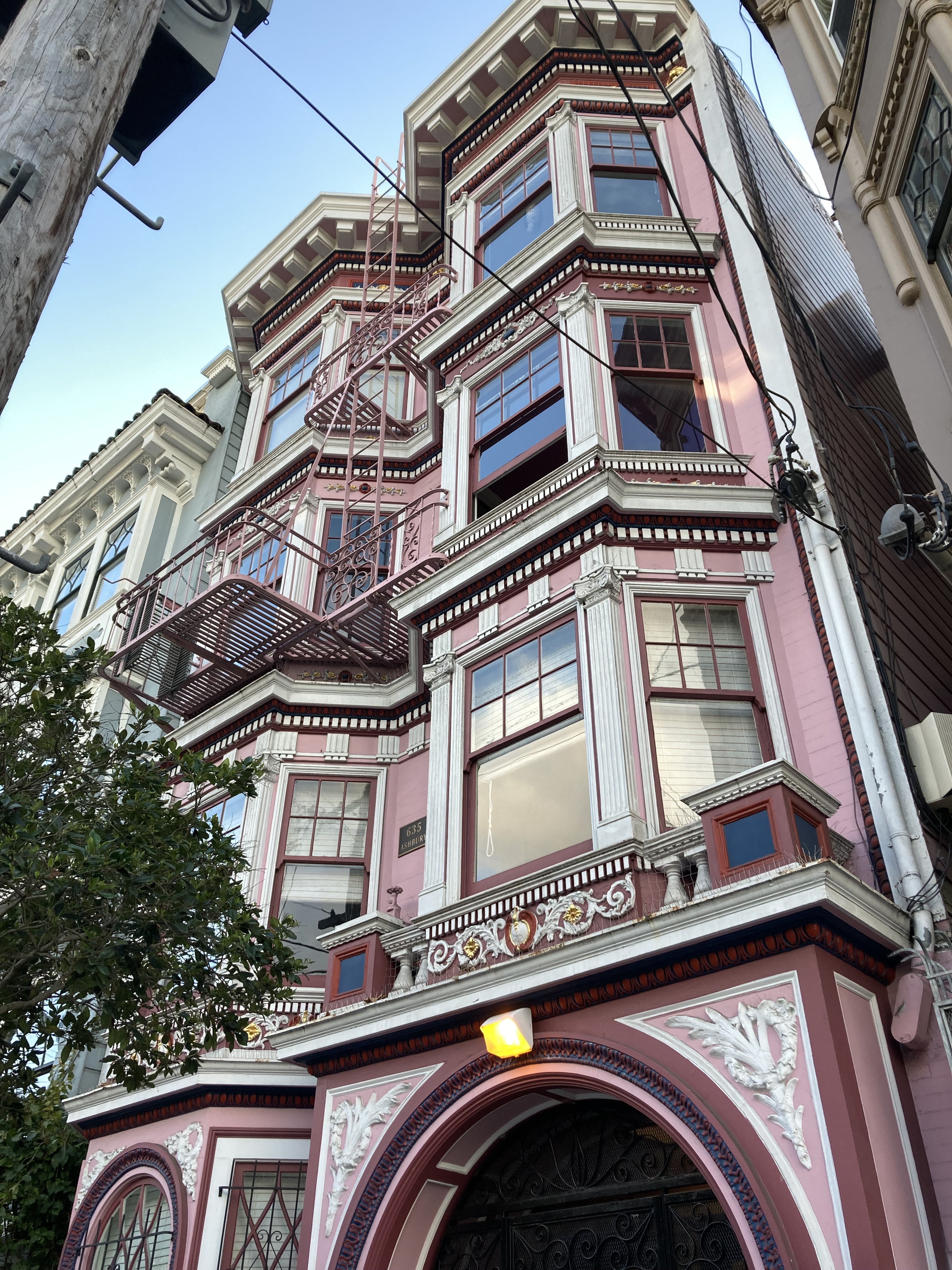
Janis Joplin lived at a few locations, including 635 Ashbury (nicer, pink) and 122 Lyon Street.
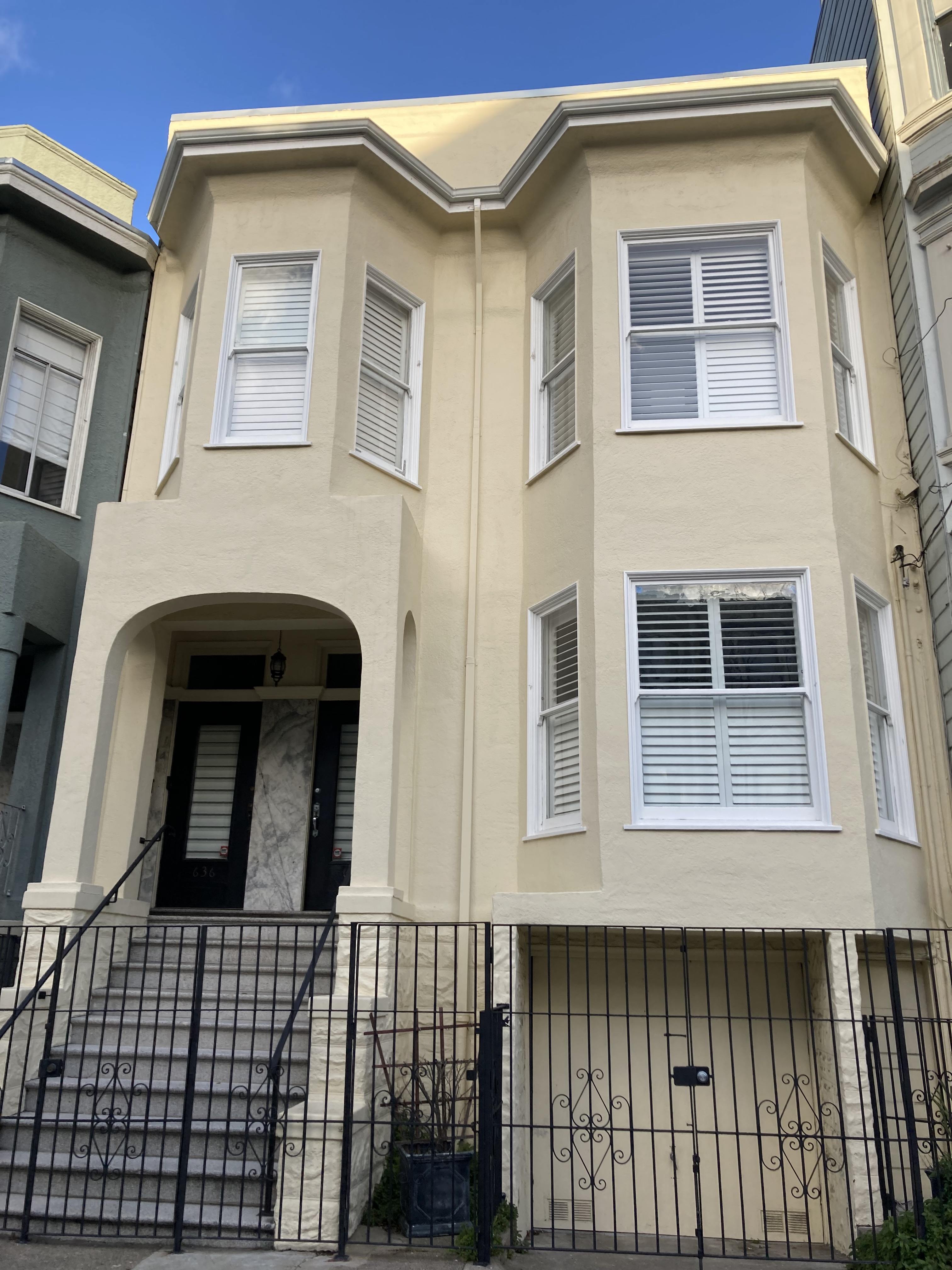
Jefferson Airplane bought the house at 2400 Fulton Street in 1968. While it is currently a cream colour, they painted it black (tell me you didn’t immediately hear the Rolling Stones), and it was known as a party house. It’s really pretty, with its large pillars, and is located further north of Haight, bordering Golden Gate Park.
Perhaps most disturbing of all is the fact that Charles Manson moved to the Haight after being released from prison and lived at 636 Cole Street from April to November of 1967. It is said that he recruited some of his followers from among the “disaffected flower children” who flocked to Haight-Ashbury during the Summer of Love.
There are plenty of beautiful Victorian homes to take in along the way that didn’t necessarily have famous former residents. One example is the homes on Waller Street called the Four Seasons.
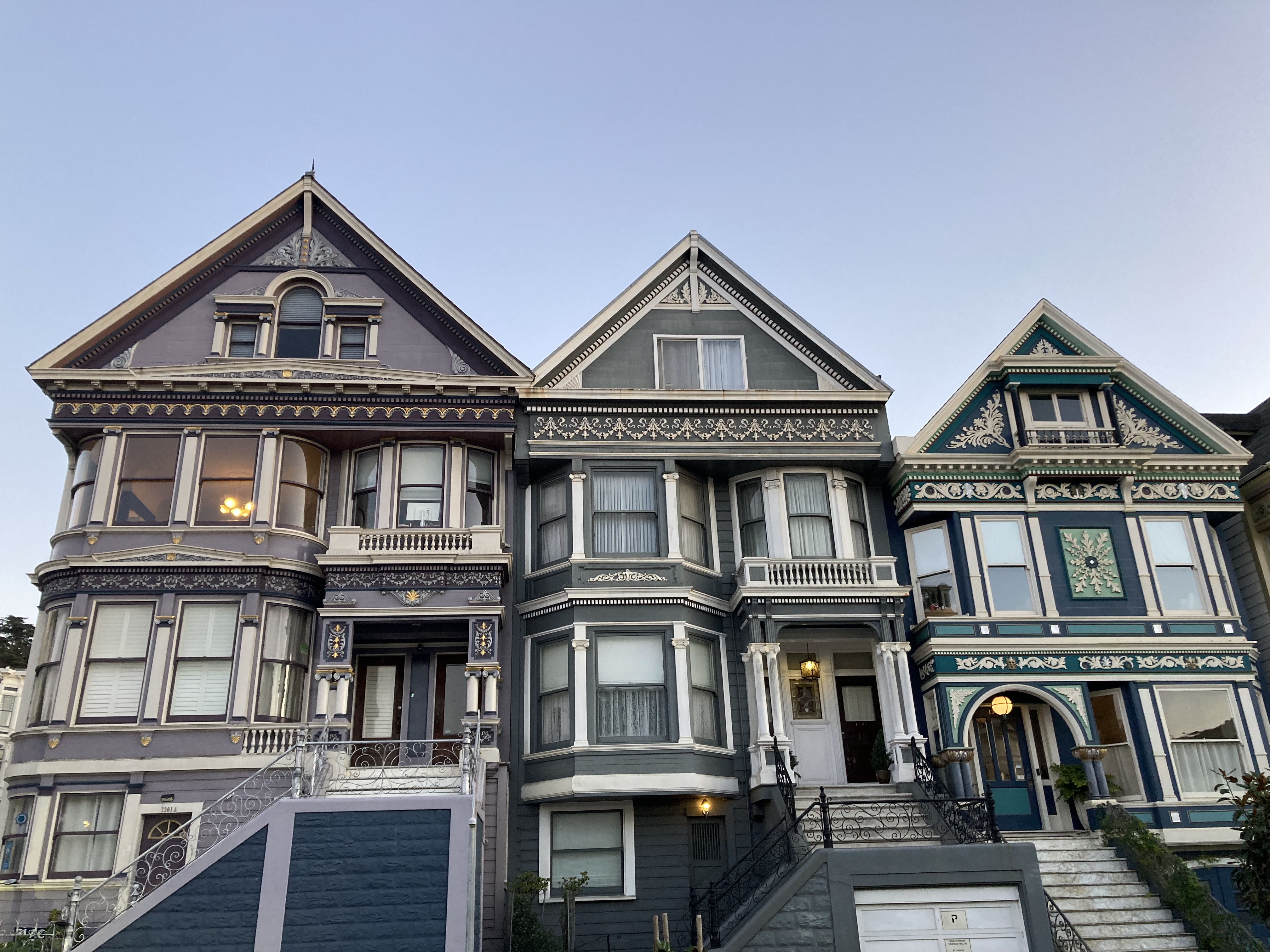
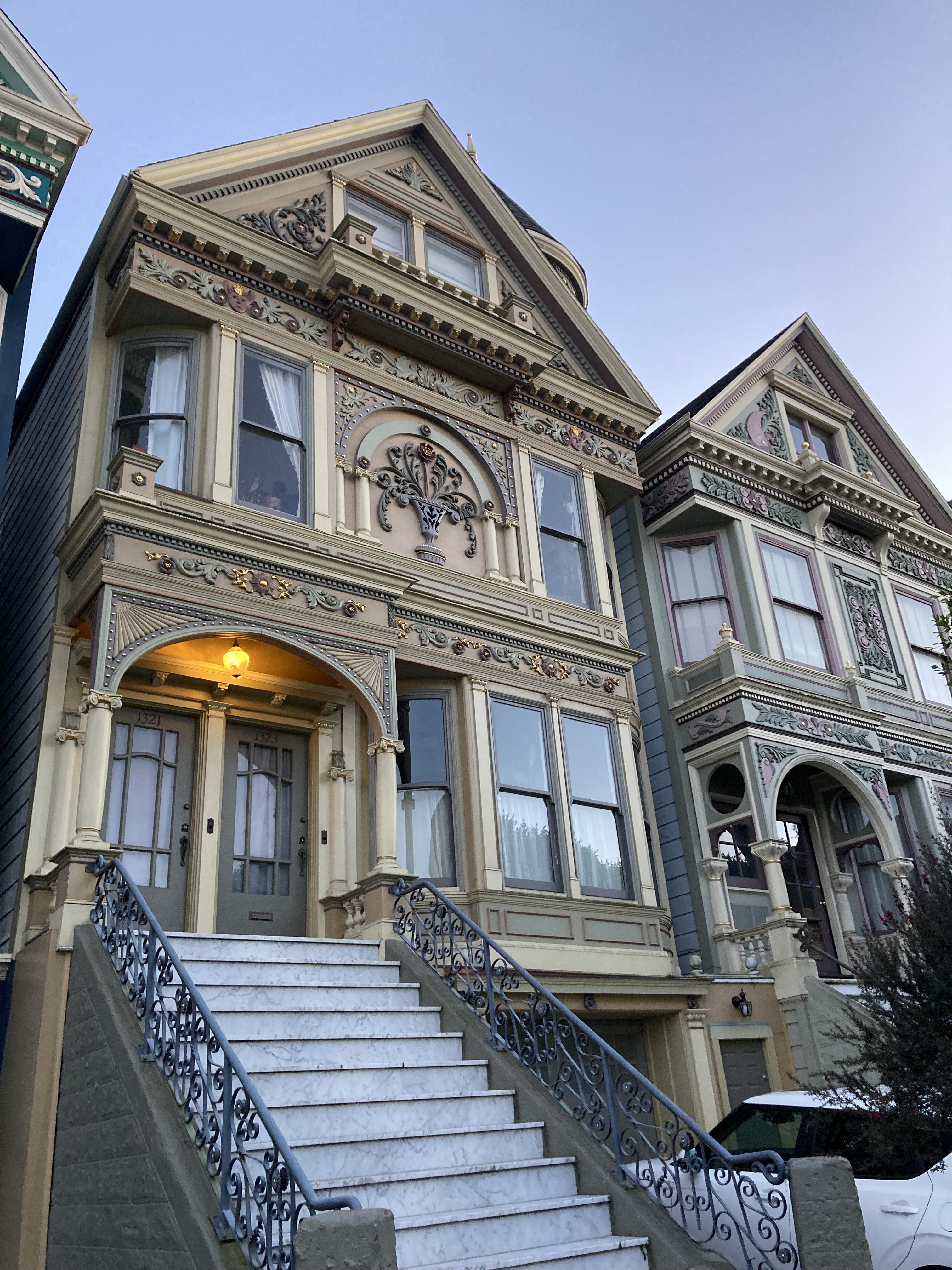
Also look at this one?! I could gawk all day at these homes (I won’t).
A final, non-residential, building of note is The Red Victorian, located at 1665 Haight Street.
Beautiful in itself, it is one of the only remaining Haight-Ashbury businesses that has continued to operate relatively as it did during the Summer of Love (lodgings). Built in 1904, called the Jeffrey-Haight in 1967, hippies gathered to sleep, plan protests, discuss new ideas, and build community here. It has maintained the same spirit by offering shared meals, activities and conversation with guests. Although recently it has come under new ownership and is in the process of being revitalized and slightly reimagined as a more upscale hotel.
I had read about murals in Haight-Ashbury, big ones of Jimi Hendrix and Janis Joplin, but I didn’t see many. So that’s something I’d keep my eyes more peeled for on a future visit.
I’ll also mention Buena Vista Park, another hangout for hippies, offering a climb to good views at the top.
I could have spent a full day just in this neighbourhood – easily.
I took another uber from Haight-Ashbury back to the Ferry Building and just caught the last ferry back to Sausalito. My van was still there, unscathed.
Last Day In SF
Once again, I woke up at the Golden Gate Bridge Vista Point Rest Area – and it was glorious. As my last day in SF, I might as well soak up my favourite spots, and that sunrise over the city skyline was unmatched.
This day was about tying up loose ends, and seeing the last few things I hadn’t gotten to.
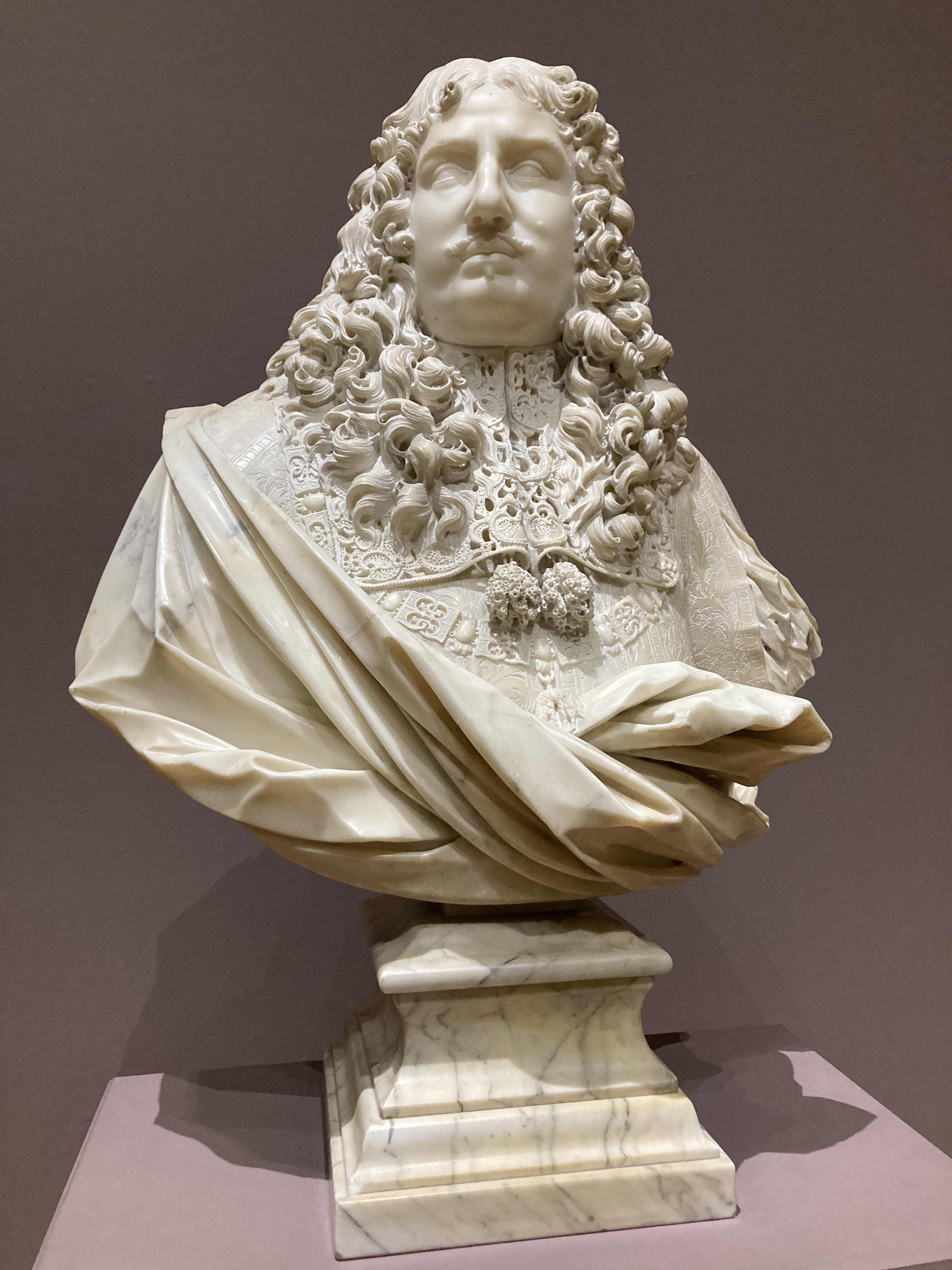
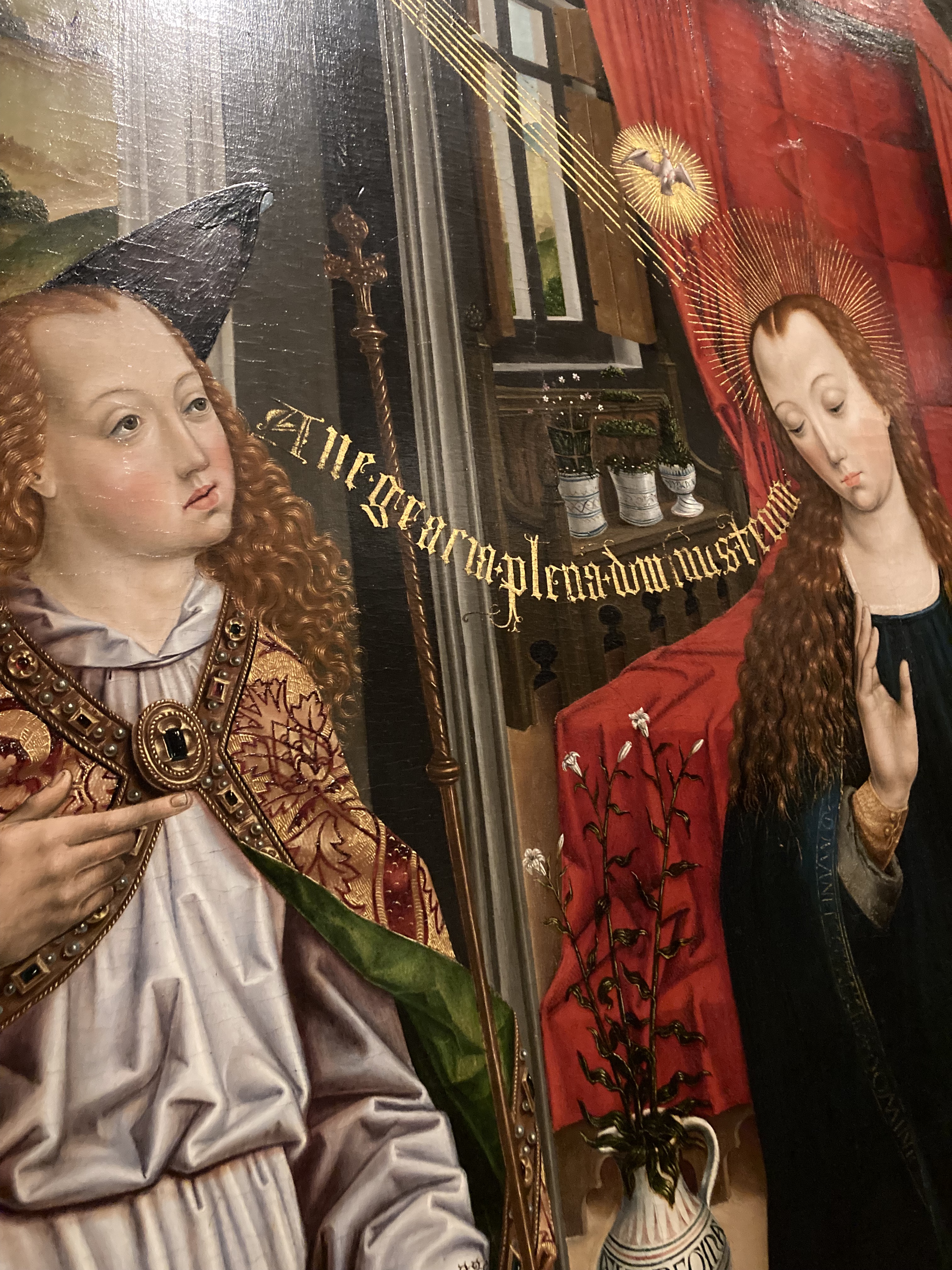
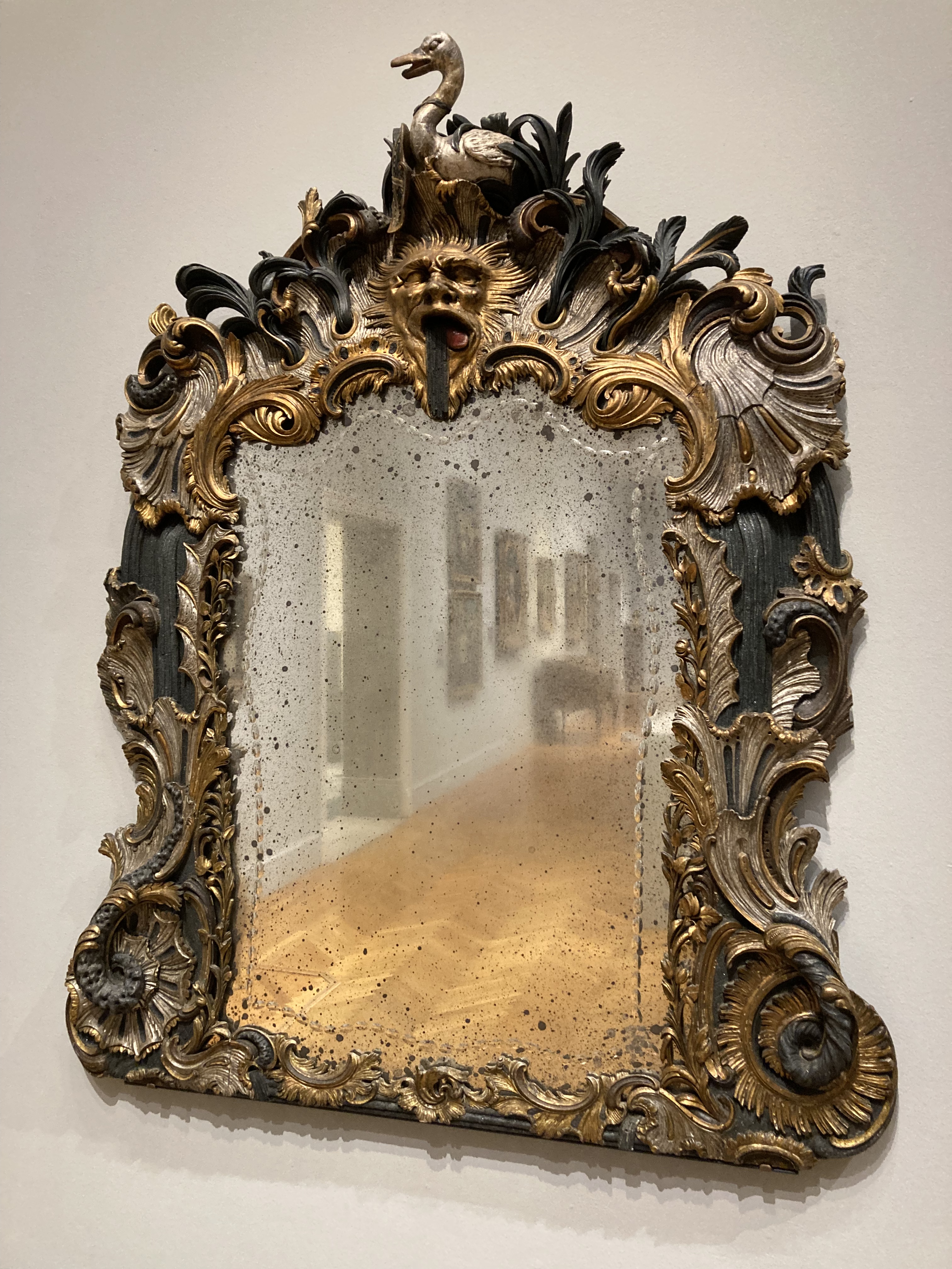
First up – the California Palace of the Legion of Honor, touted as San Francisco’s most exquisite museum. Along with the de Young museum (in Golden Gate Park), these are fine arts museums, with de Young focusing on American art from the 17th century onward, while the Legion of Honor showcases European, ancient, and contemporary art. “An impressive Neoclassical Beaux-Arts building, designed as a replica of the Palais de la Légion d’Honneur in Paris”. The Legion of Honor is beautiful inside and out, located in Lincoln Park, near Land’s End, at the northwest corner of the SF peninsula.
As I am writing this one of their feature exhibits is Manet. While I was there they had Rodin.
I remember being a bit hesitant about parking in their parking lot, as I had read that it could be a hotspot for break ins. Any tourist attraction is likely to be a hotspot. But I chanced it, and luckily had no issues. And I’m so glad I went.
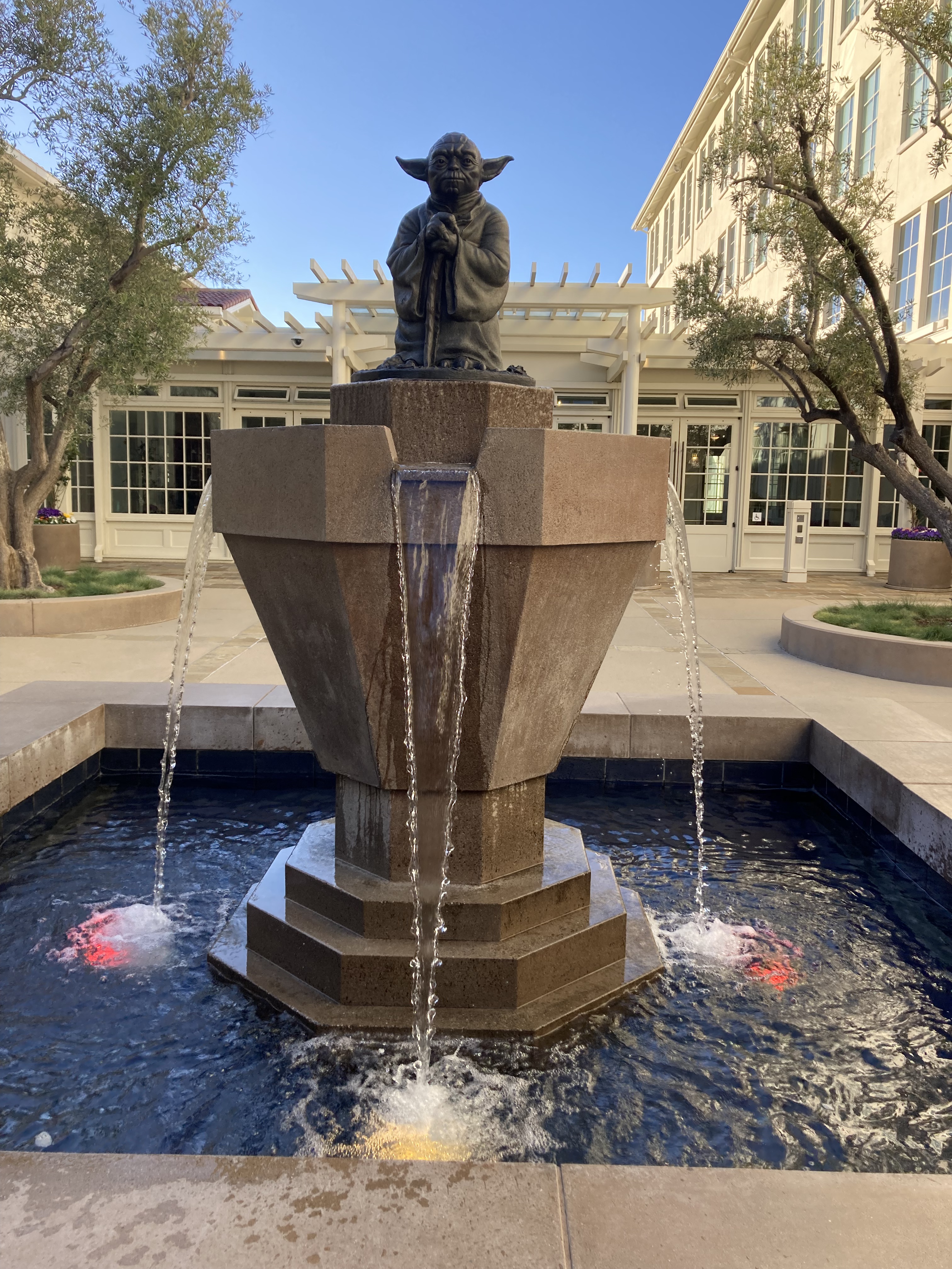
Following the museum, I thought – why not see the Yoda Fountain in the Presidio? I think I was just curious, because I’m not a huge Star Wars fan. It’s located in the Letterman Digital Arts Center (named for a medical doctor of the former Army base here), outside of the Industrial Light & Magic Offices, a division of the film production company Lucasfilm. It is also in front of Building B, which is open to the public, where you can view various Lucasfilm (Star Wars) memorabilia.
I did actually head back to the Haight-Ashbury neighbourhood, as there were some houses I hadn’t seen yet. I tried to go by The Painted Ladies, the colourful Victorian houses nicknamed “postcard row” at Alamo Park, with a view of the city behind them. But there was construction, the road was closed, and for the life of me I couldn’t find street parking nearby, so I missed them. I had seen them several years ago, but I always think that I probably didn’t fully appreciate these things when I was younger, and you never know if or when you’ll get another chance.
I popped in to Love on Haight one more time to soak up the hippie vibes.
I picked up a couple of cans of beer from Magnolia Brewing to take with me.
Then I drove south, out of the city, to Crystal Springs rest stop near San Mateo. For some reason my driving directions took me along the beaches on the west side of the SF peninsula and there was some construction. I had to back track and when I turned into a beach parking lot there was some sort of gathering. The people gave me weird looks and I got a sketchy feeling. I got out of there pretty quick.
Next Time
Some things I didn’t get to and would consider in the future:
- Nob Hill, with its posh old mansions and views of Golden Gate Bridge. This neighbourhood is described as one of wealth and privilege, with swanky hotels. There is the ornate Gothic-style Grace Cathedral, Huntington Park, and the Fairmont, which opened in 1907, and is renowned for its elegance and opulent lobby. Steep streets, classy restaurants, nightspots, and the Cable Car Museum.
- More breweries. Like Anchor Brewing, which is famous for their steam beer, and Laughing Monk, which produces Belgian styles and California heritage beer. I’ll talk more about this in my next post on beer in California!
- Cool shops like Sword & Rose, The Scarlett Sage Herb Co.
- Fort Point Historic Site at the south end of Golden Gate Bridge.
- Lombard Street, where eight sharp turns make it the most crooked street in the world.
- Ride one of the historic cable cars and tour the city. The Powell-Mason and Powell-Hyde are said to be the most scenic routes.
- The de Young Museum (fine arts).
- San Francisco Museum of Modern Art
- Asian Art Museum
- SF City Hall
- California Academy of Sciences (rainforest, aquarium, natural history museum).
- City Lights Booksellers & Publishers
- Angel Island State Park, hiking, ferry from Tiburon or Pier 41.
- BRMC/ Motor Oil Whisky collab with Few Spirits. As an avid fan of Black Rebel Motorcycle Club, I knew that the band got their start in SF. You know I put them on while driving. And I tried to find their Motor Oil Whisky while in California (to no avail).
Miscellaneous
There was one day in the van where I parked at Rodeo Beach and moved absolutely everything around in the van. I’d spilled something on the floor and it had gotten under the rug and it needed to dry out.
But I’d also been monitoring for wet spots and mold since noticing condensation in the van over the winter, from BC to Oregon. The good thing about California, even on the coast, was that the temperatures were rising, so there wasn’t as much of a temperature difference to create condensation. But also, when I eventually did go inland, things were so dry that the whole van dried out and condensation wasn’t a worry (not to mention dry heat and cold are way better than humid heat and cold).
Anyway, I did some checks and found what looked like it could be mold in one of the door panels, so I cleaned it and sprayed it down with Concrobium. I let things air out while I did a hike. Then put everything back. It’s good to periodically do a big cleaning and organizing session. It also seems to calm me.
Most Dangerous Neighbourhoods In SF
I did not feel unsafe for the most part while exploring San Francisco. That said, I was mostly in touristy areas. And I felt prepared. Based on my research, these were areas I made an effort to avoid:
- Tenderloin District (just west of Union)
- Hunters Point (SE coastal)
- Mission District (SE)
- Outer Mission (south, toward Daly City)
- Western Addition (not far from Haight-Ashbury, would want to walk around it from Presidio)
- South of Market SOMA
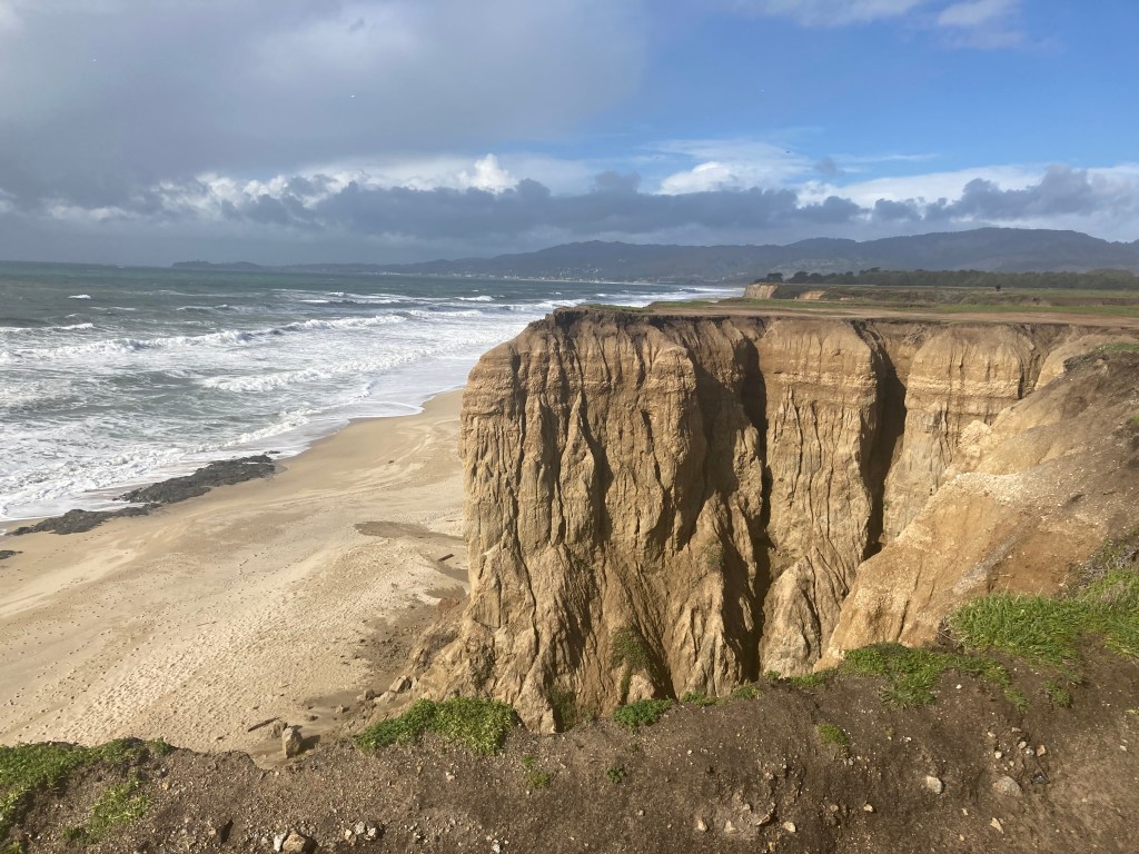
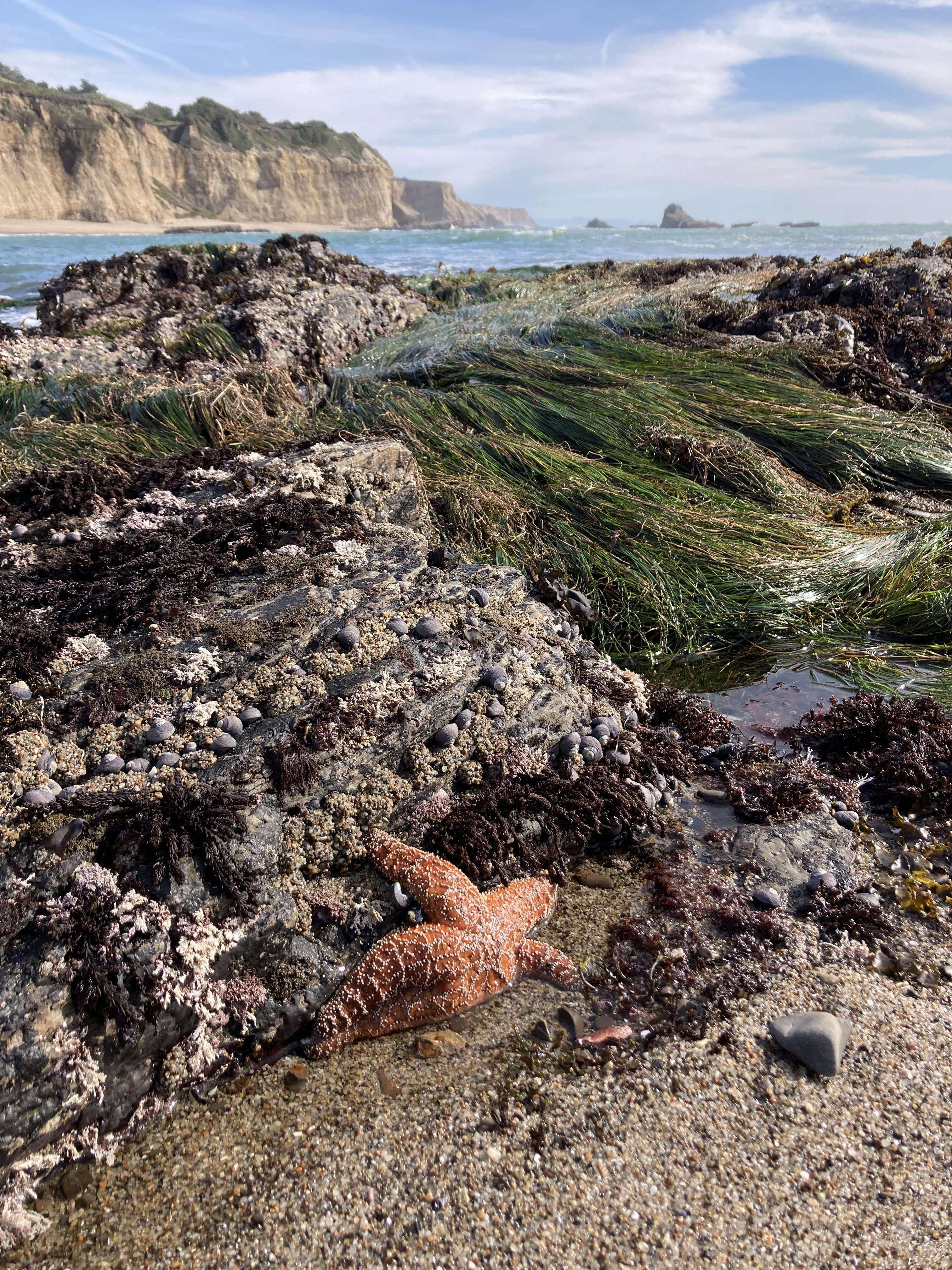
Central California Coast
There was a lightness that came with leaving San Francisco. It was sad to leave, but there was a relief from having executed all the planning and getting a big city under my belt. I could relax a little and be more free rein with my lack of plans.
Now that I was south of the Bay Area and the jewel of northern California – I had entered Central California.
I left the rest area I’d stayed at south of SF and headed back to the coast, driving through Half Moon Bay again, and going about an hour south on the PCH. The coastal highway wasn’t as winding here. I found a quiet little beach parking lot to stop at, take in the views, stretch my legs, and plan my day.
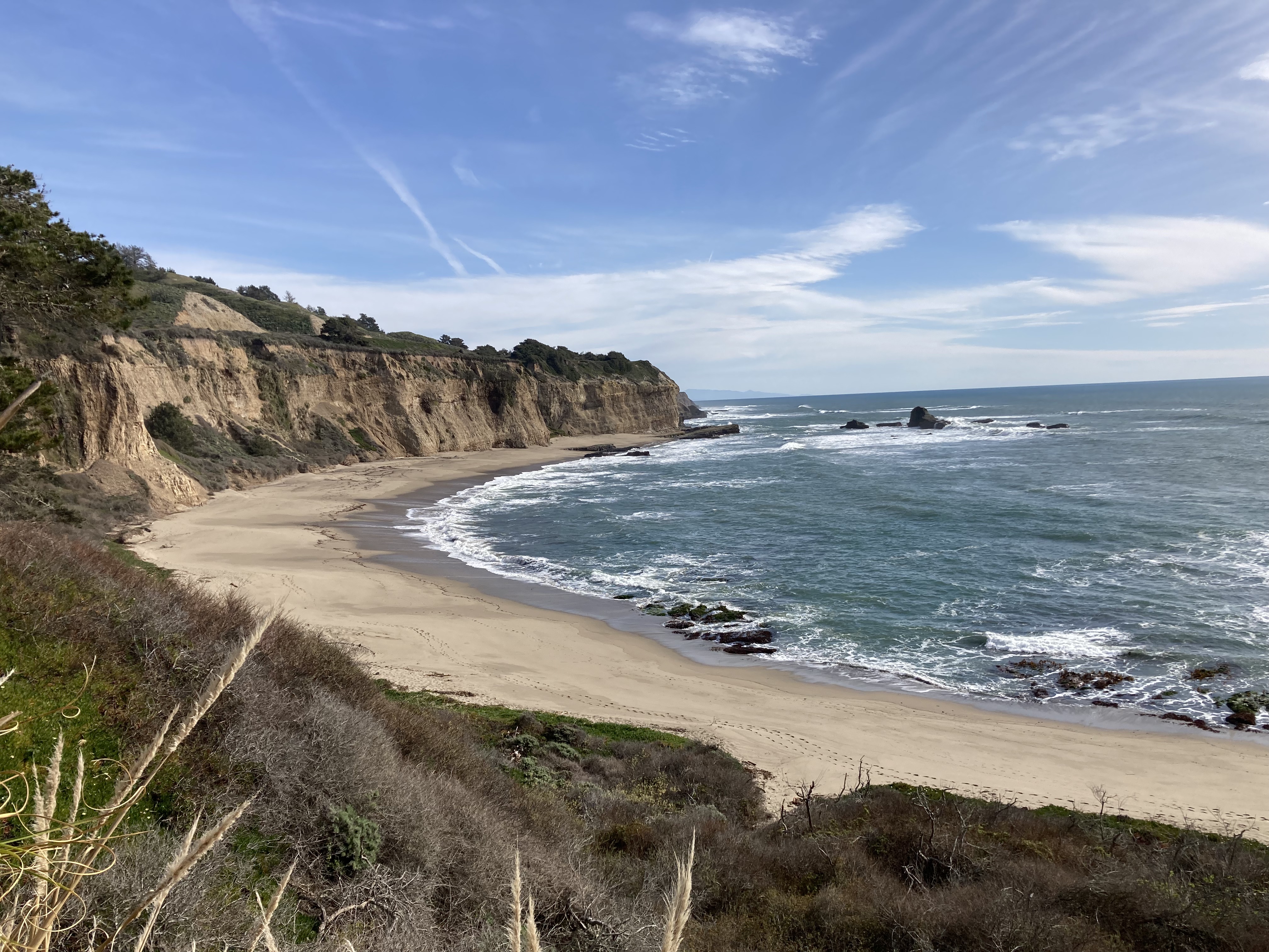
Santa Cruz
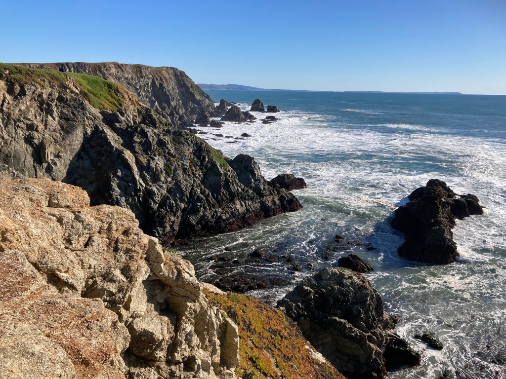
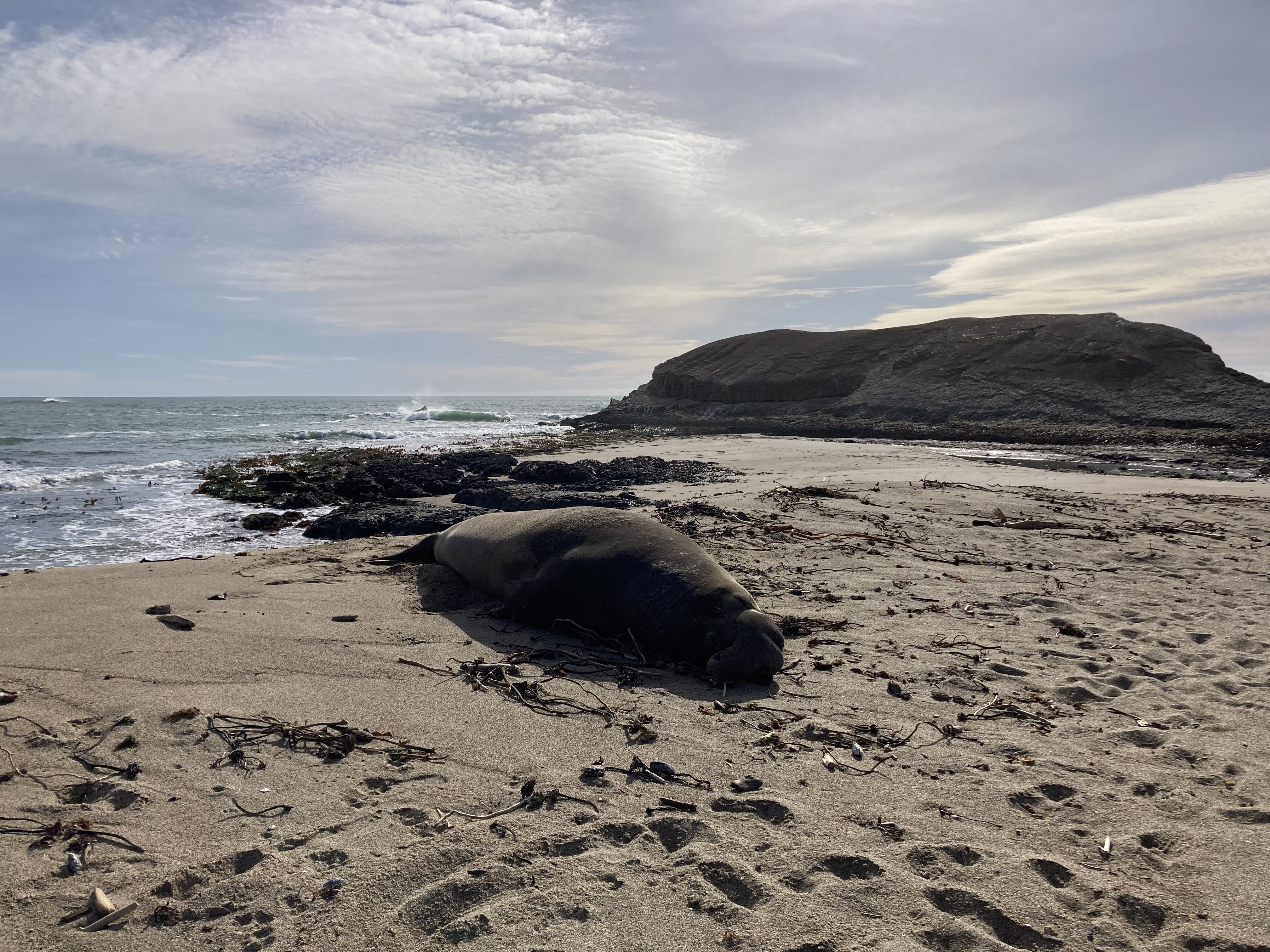
The Elephant Seal at Greyhound Rock
Santa Cruz was my next stop, but on the way I stopped at Greyhound Rock. I was always open to checking out random places as I passed through areas. You never know when you’ll stumble on an unknown gem.
I walked down an incline to beach level and as I got to the sand I noticed an Elephant Seal laying on the beach. Not being from the area, and unfamiliar with these animals, my first thought was that this elephant seal was beached and unwell. I pondered calling wildlife services. I sincerely thought he was dying.
I was hesitant on what to do so I kept an eye on him as I explored the area. I took a wide path around him as I headed closer to Greyhound Rock. There were other people walking around, climbing to the top of Greyhound Rock, seemingly unconcerned about the seal.
On my way back, the seal opened its eyes and looked at me, unbothered, like he was just napping. And I felt some relief, maybe he was okay. I wouldn’t realize until a little later on my travels along the coast that this was absolutely normal elephant seal behaviour, and I was lucky this guy was so chill, because – according to signage – these seals can be aggressive, and they can be fast, and you shouldn’t get too close. I’d been blissfully ignorant. It just goes to show that as your surroundings change it’s good to be aware of the changes and get to know local plants, animals, and ways.
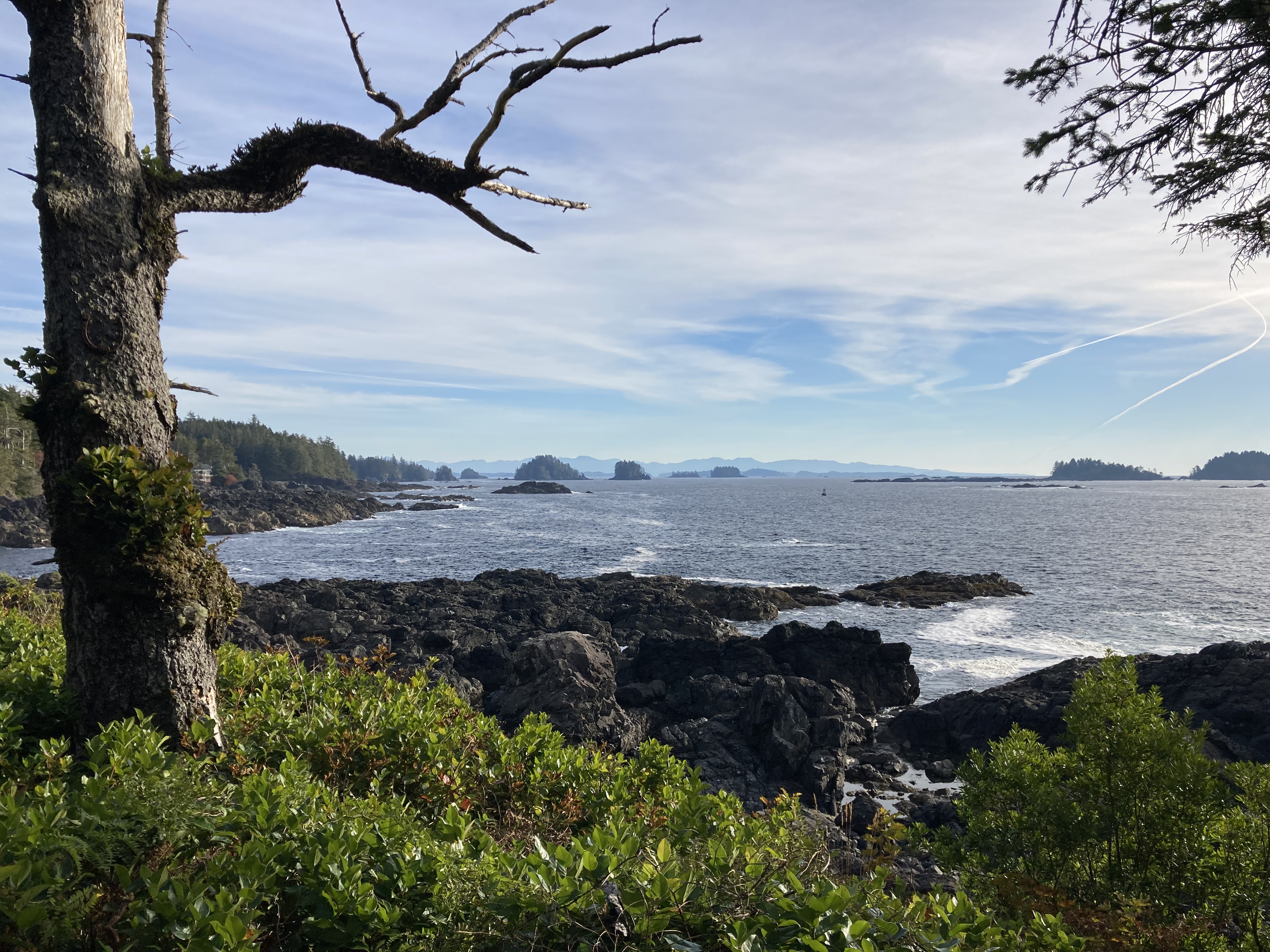
There was something about Santa Cruz that made me feel like I was really in California. It just felt different. Perhaps it felt more stereotypcal in terms of the beach and wharf and surf culture. But I could definitely feel a shift from Northern California.
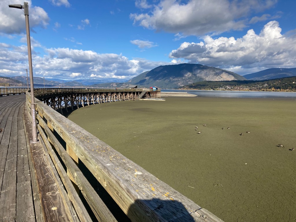
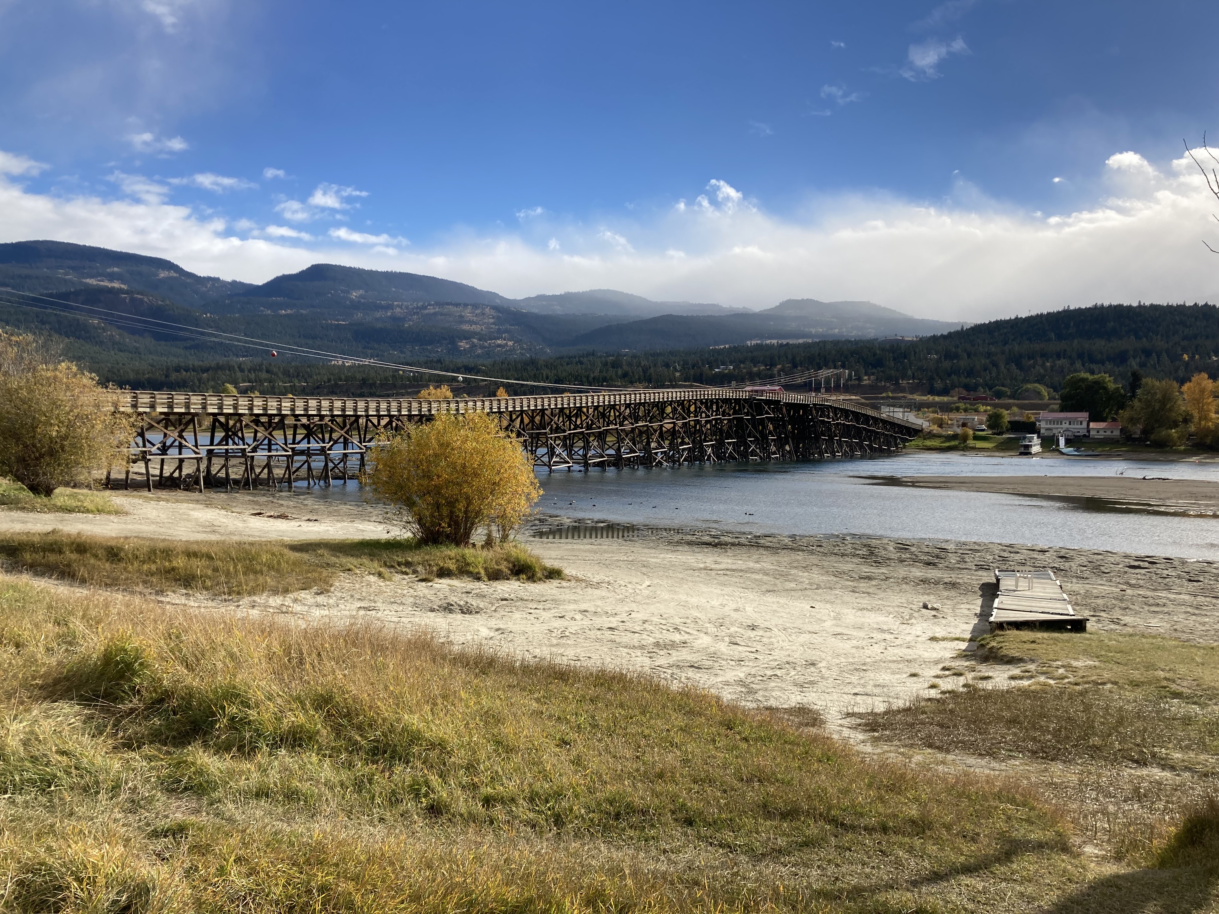
Santa Cruz is located just north of Monterey Bay and has a population of about 63,000. It is known for its surf culture. While it didn’t feel unsafe to me (not like Eureka), I did feel like it could be a bit sketchy to hang around at night (which is why I chose to get out of the downtown area for my overnight spot).
First, I went to Natural Bridges State Beach, which is essentially a bridge-shaped rock formation by the shore, which was okay. What stood out to me in Santa Cruz were the pier and the Beach Boardwalk. The wharf is said to be the longest wooden wharf on the west coast. It has shops and seafood restaurants and there were a bunch of sea lions lazing around, swimming, and barking underneath the wharf. Nearby the Beach Boardwalk is like a vintage beachside amusement park. There were people playing beach volleyball. There was an arcade. And there was a big parking lot with paid parking nearby.
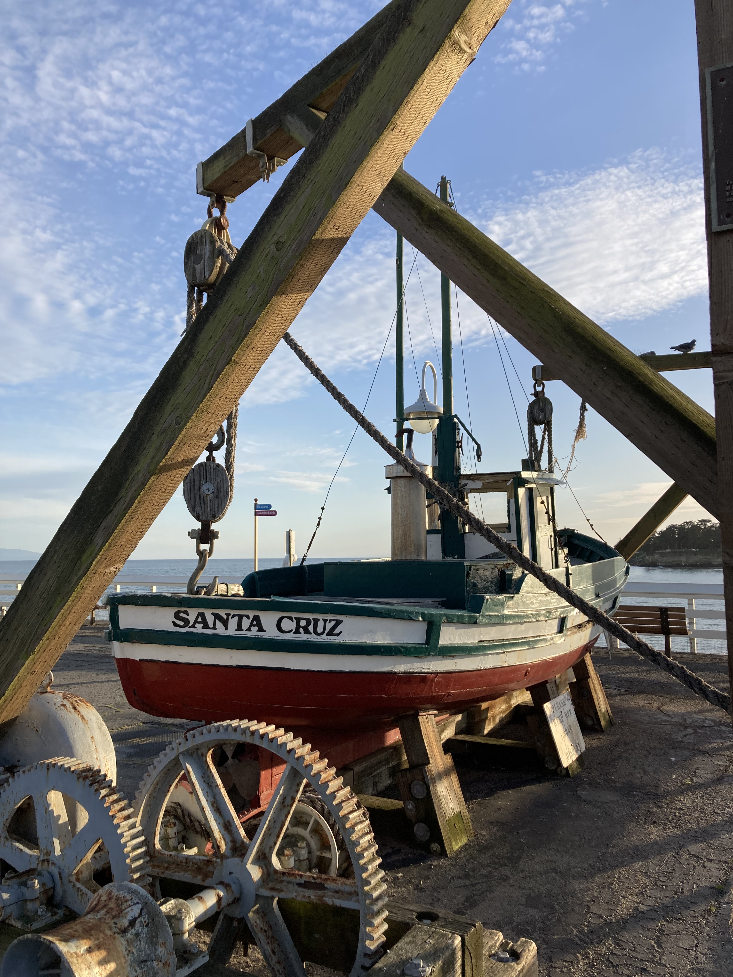
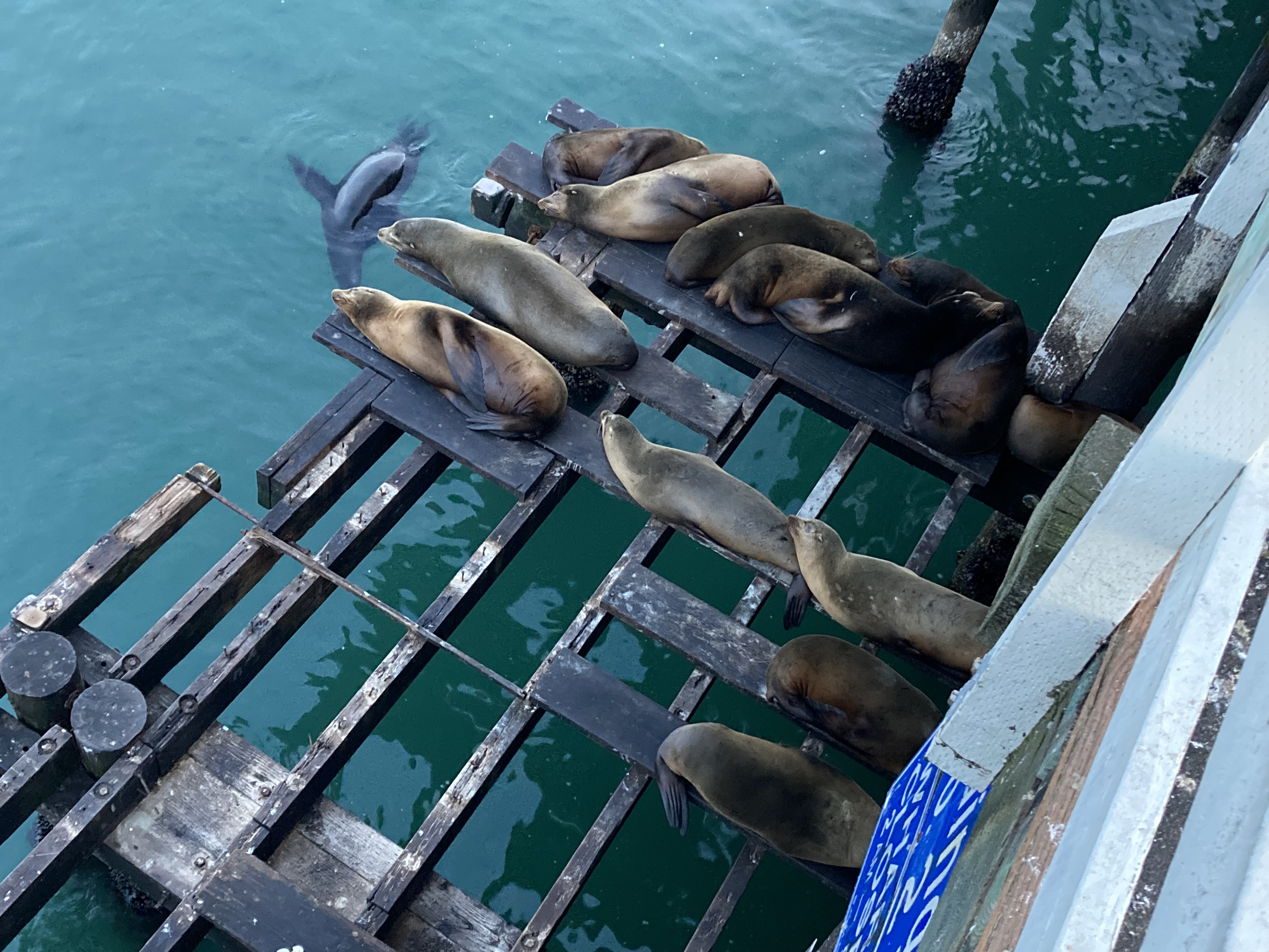
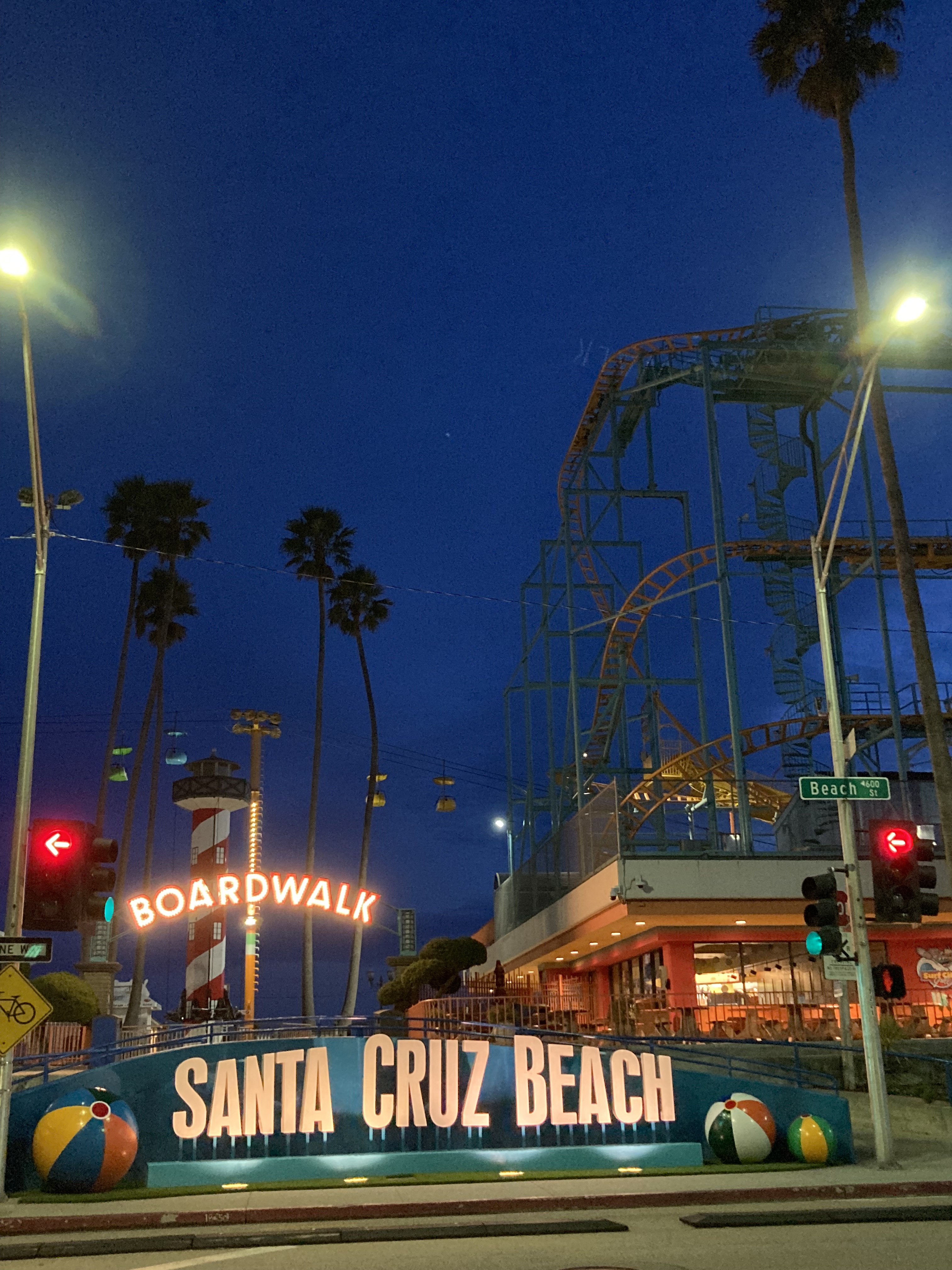
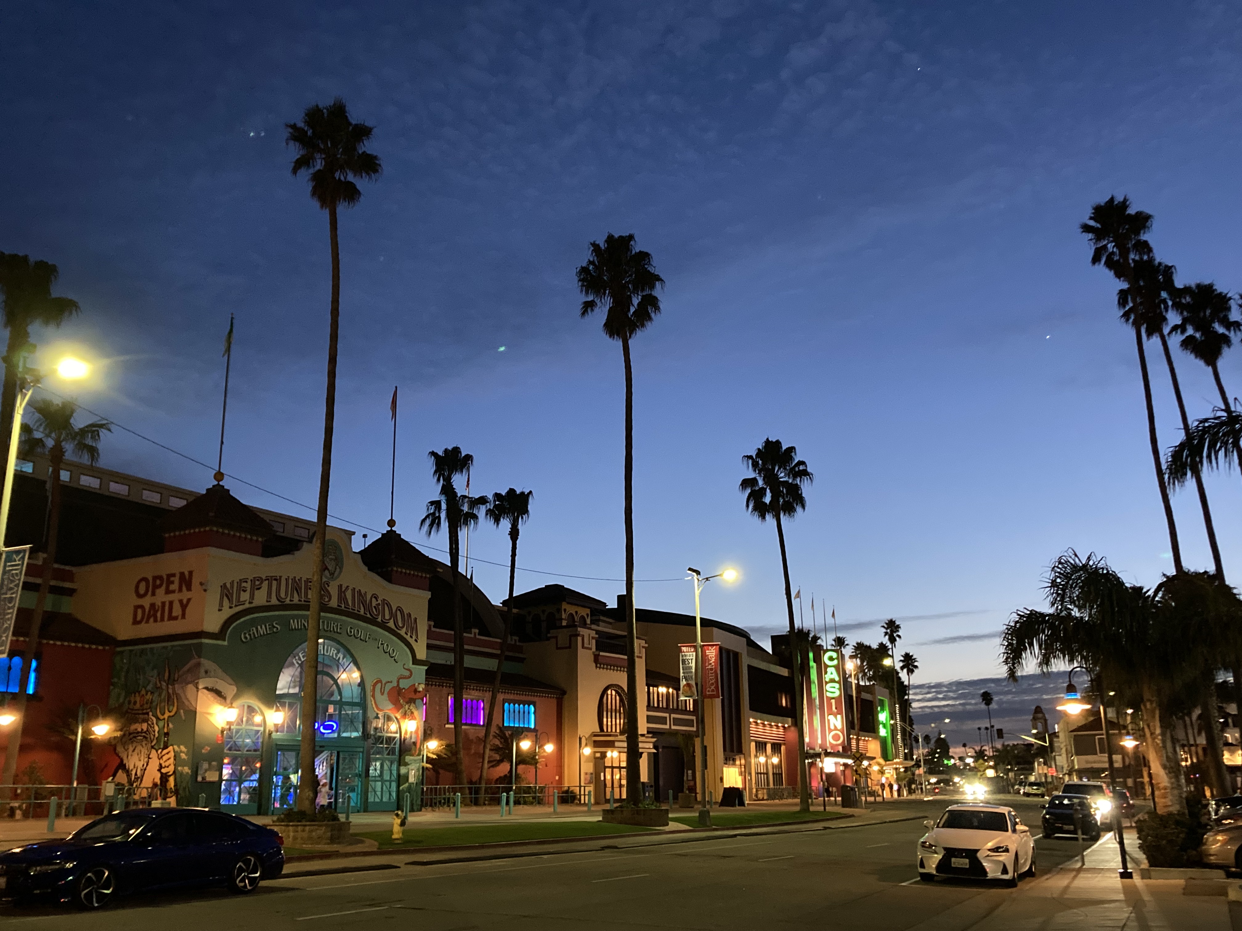
I figured I could probably find street parking in the core, but I opted to look for an area with a lower crime rate. I ended up on a residential street, based on some suggestions I found online. I felt a bit exposed, but had no issues. Sometimes you wonder if residents might call authorities to report unknown vehicles or vans (which never happened to me in the states, but did happen in Canada later on – while at a hiking trailhead in the afternoon no less, where I had just been hiking).
If I get back to Santa Cruz I might visit The Mystery Spot – a gravitational anomaly in the redwoods.
Next morning I walked along nearby Rio Del Mar beach as the sun rose. There was a shipwreck and a sunken pier. And I grabbed coffee and breakfast at a café whose name (Venus Pie Trap) I appreciated.
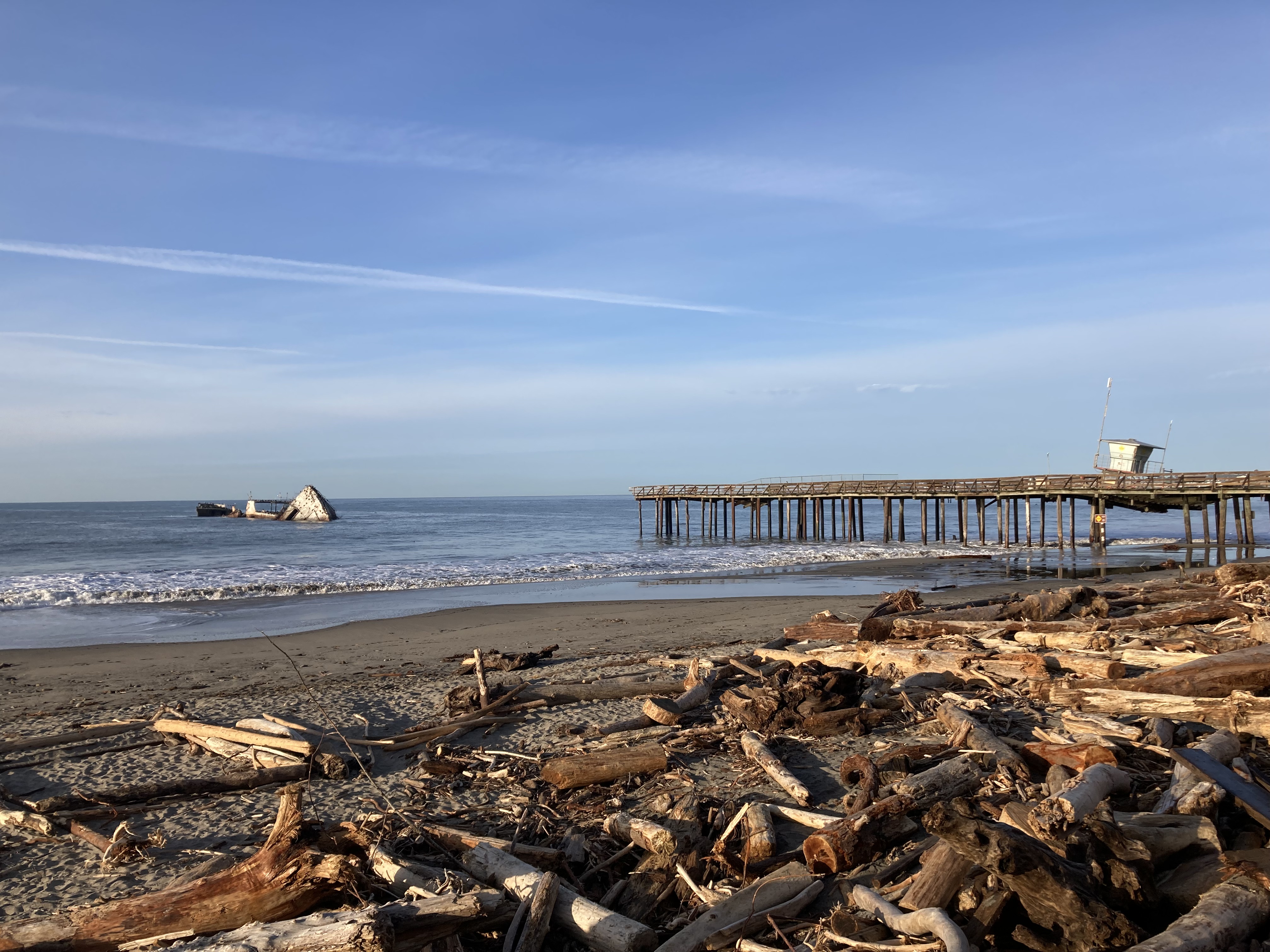
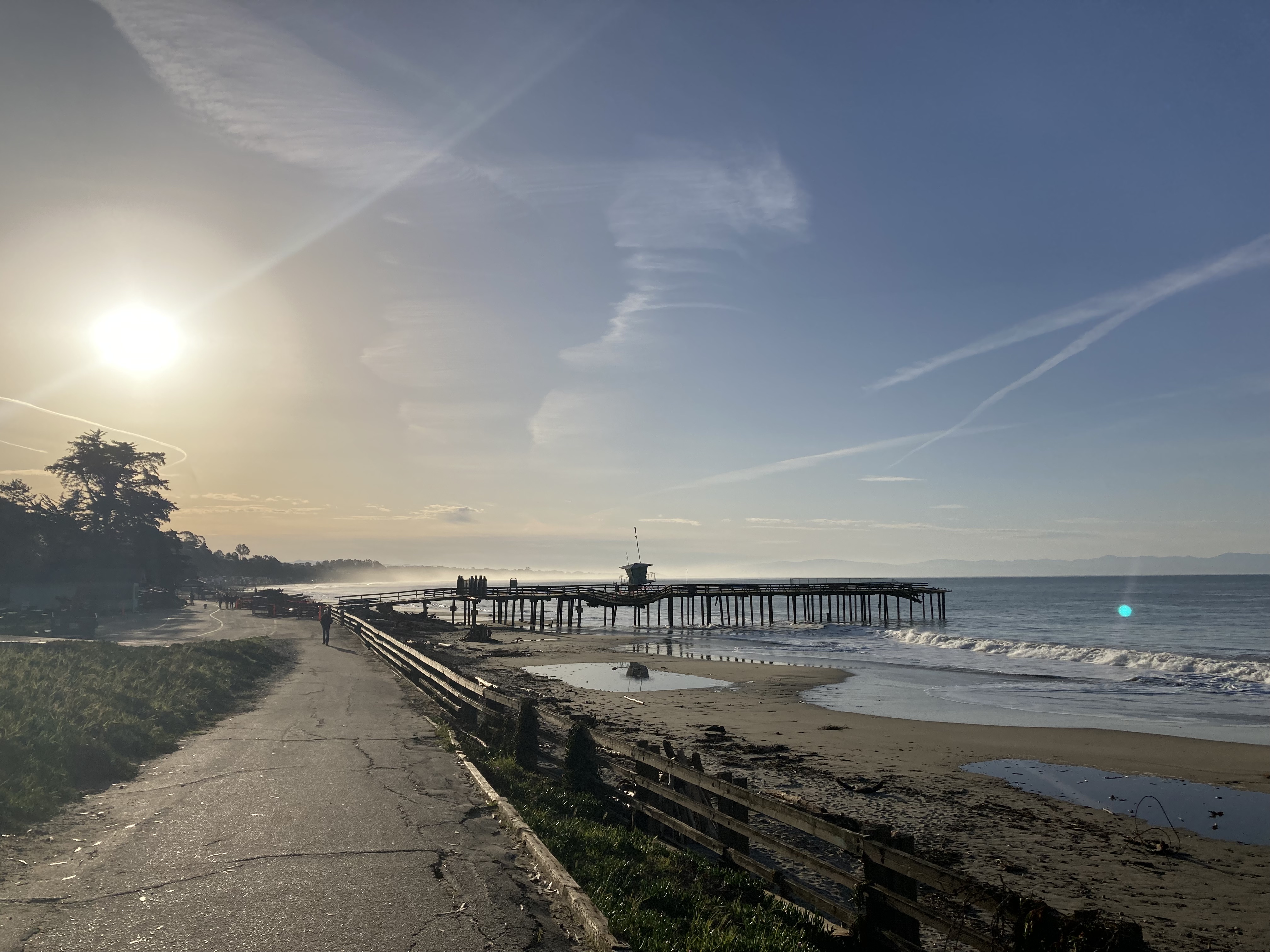
Monterey & Carmel By The Sea
While Santa Cruz lies at the northern edge of Monterey Bay, the city of Monterey lies at the southern edge of the bay. It has a population of about 30,000, and is known for its aquarium and Cannery Row (once a sardine canning industry, now filled with shops and restaurants, made famous by John Steinbeck). Being on the edge of the Monterey Bay National Marine Sanctuary, this is an area where the coast and marine life are at the forefront. But it’s also where I started to see considerable Spanish and Mexican influence, presence, and history.
As per usual, I found another beach to stop at, just before Monterey, while I took some time to research, plan where I was going, and of course walk along the beach.
My first stop was San Carlos Cathedral, which is the oldest building in Monterey (construction completed in 1794) and longest continuously active church in California (established in 1770, founded by Junipero Serra). It is the only remaining original chapel among the four Spanish Presidios that were once in California. Junipero Serra is a big name in these parts. He would move his mission to Carmel by the Sea, which I visited later.
There seemed to be a wedding happening when I arrived, so I couldn’t look around that much, and certainly couldn’t go inside, but I took in the architecture and history from the outside. This is also the part of my travels where I started to see bushes of rosemary, which I love, thanks to the mediterranean climate.
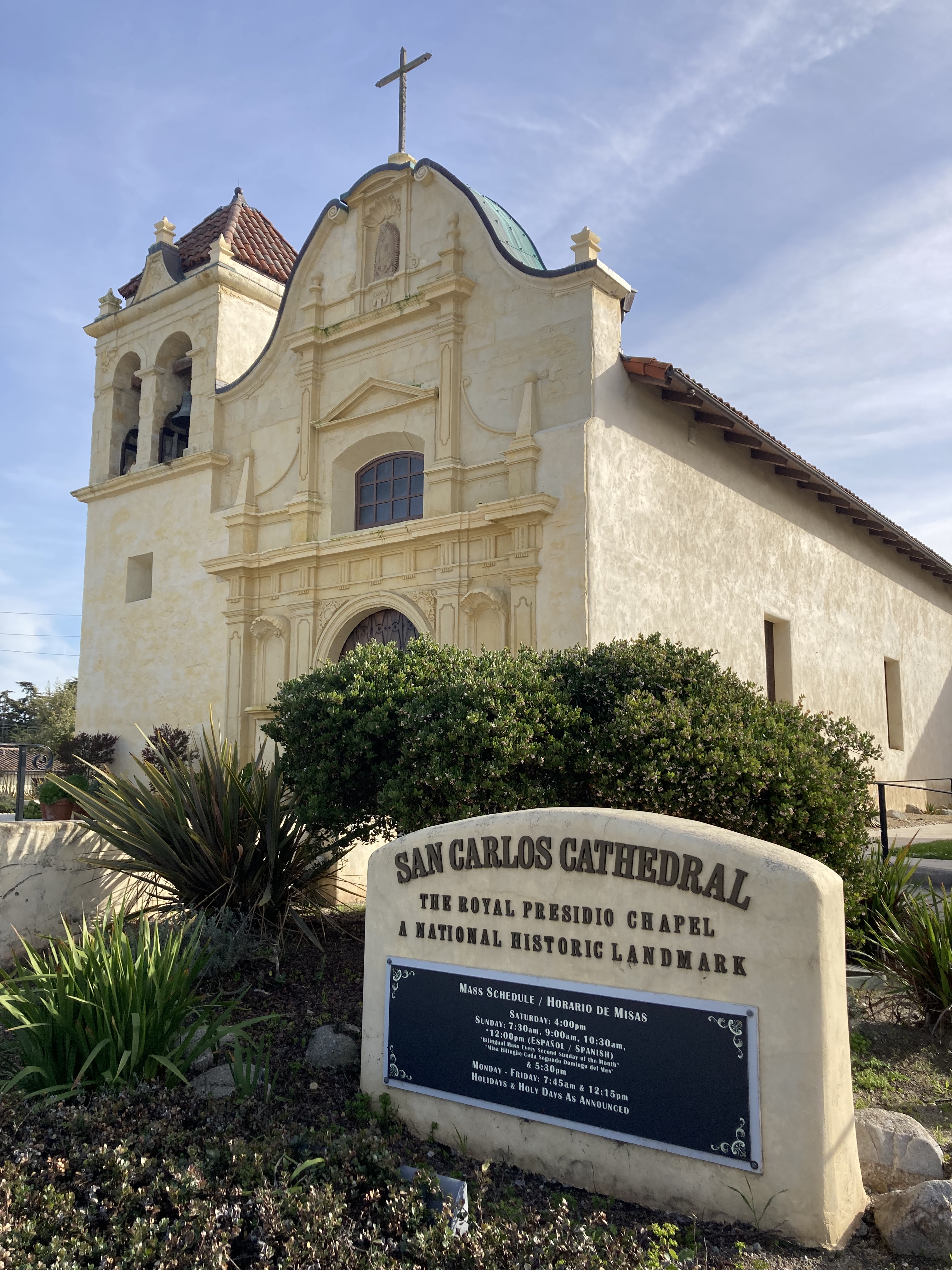
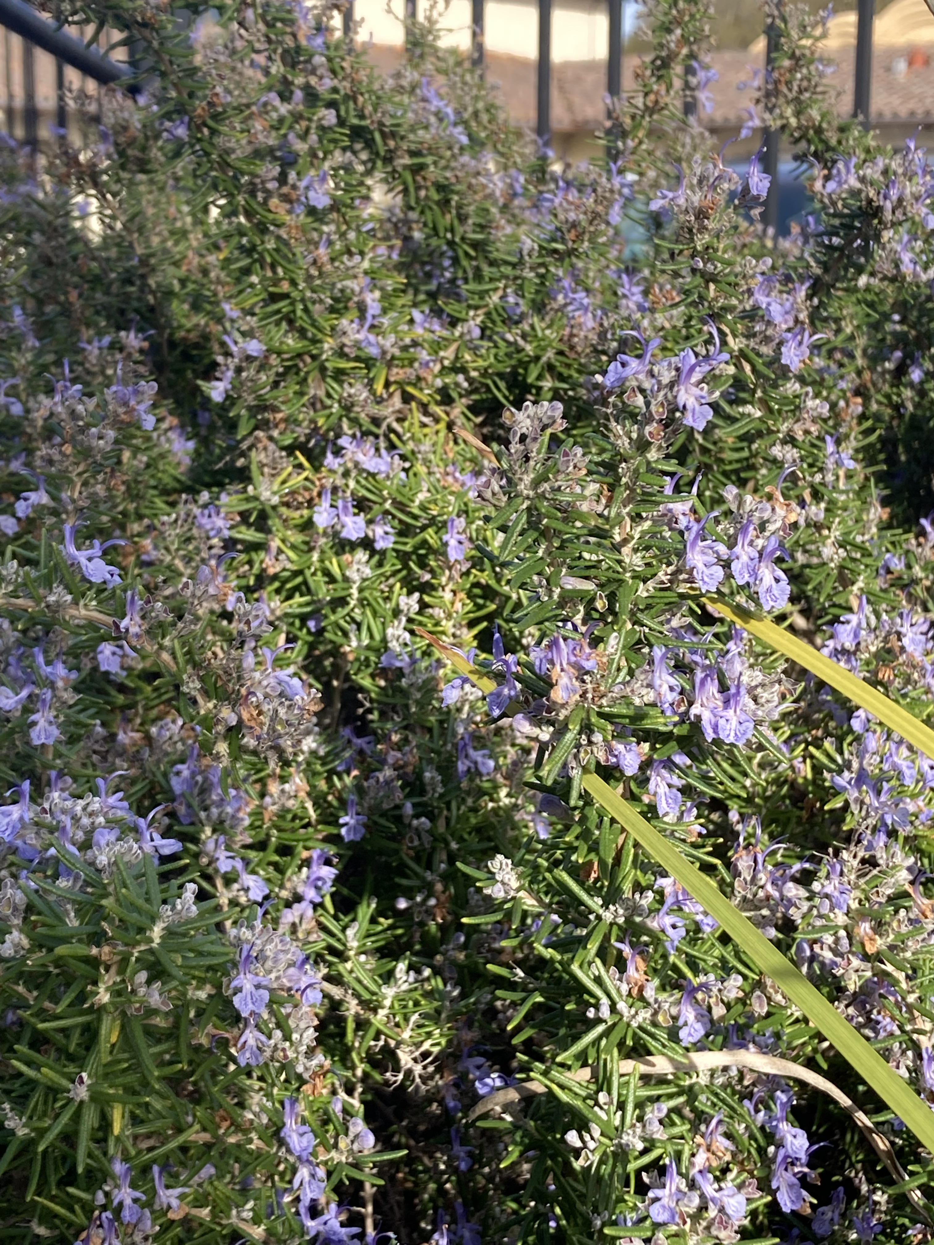
The chapel reminded me a bit of Kill Bill, except it wasn’t in the middle of nowhere.
From here I headed downtown and meandered around Old Town Monterey (Alvarado Street, historic sites along the “Path of History”), Monterey State Historic Park (Customs House, adobe style buildings, informational plaques), and Old Fisherman’s Wharf (restaurants, souvenir shops). Then I walked along the waterfront, where I saw otters in the ocean, to Cannery Row, exploring the many shops (spying my next Zoltar and getting a fortune), to Monterey Bay Aquarium and beyond, where there were paths and seals basking on the shore at Hopkins State Marine Reserve.
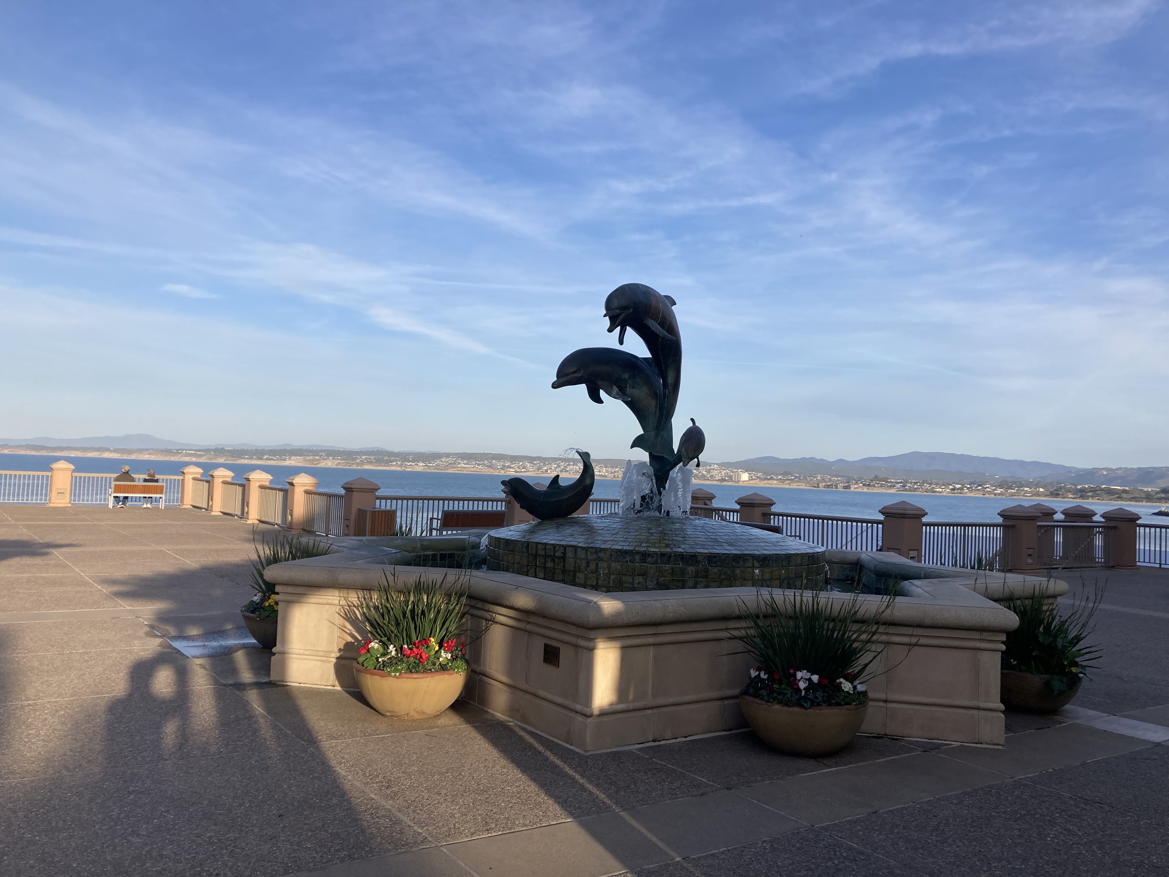
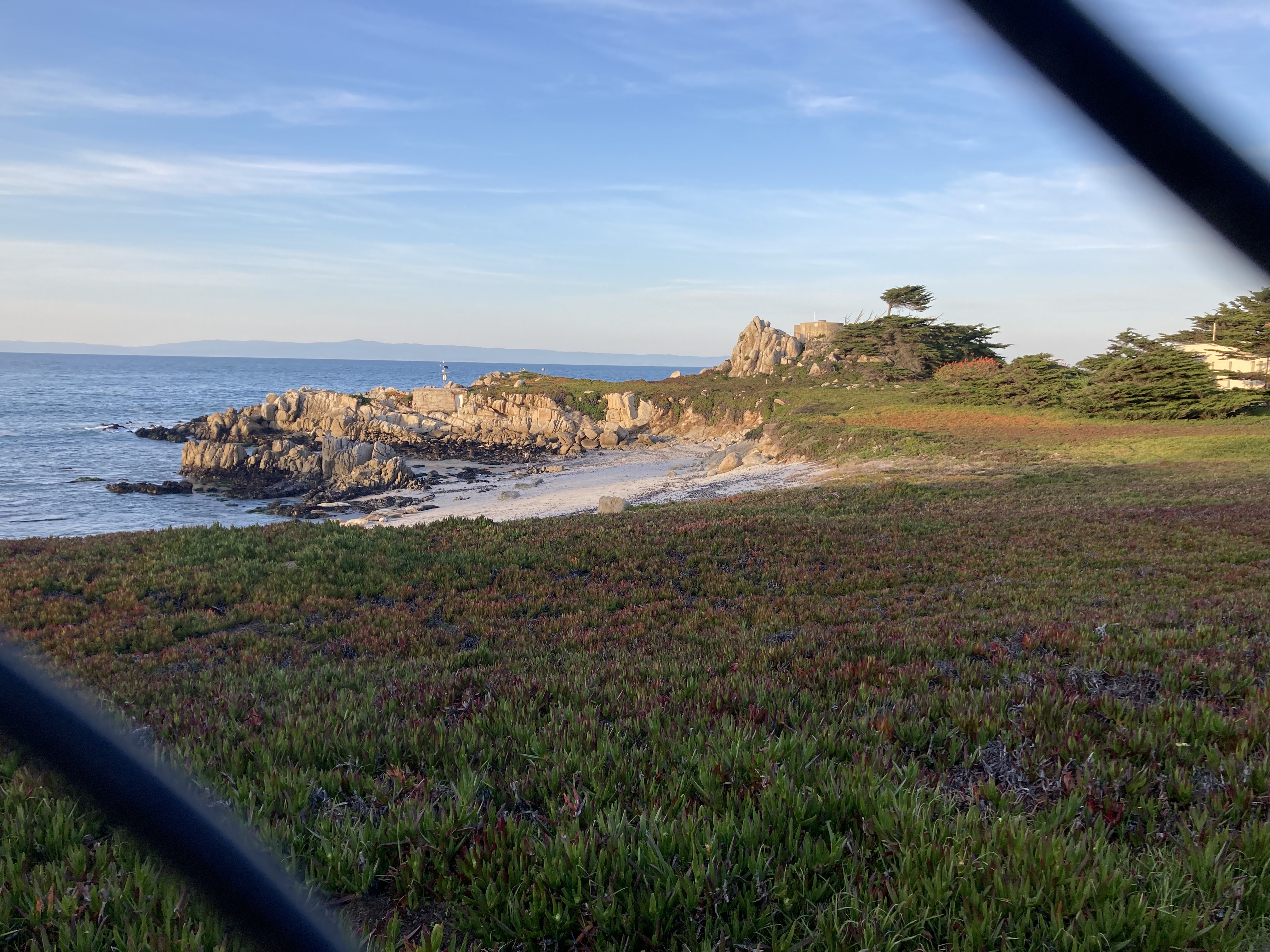
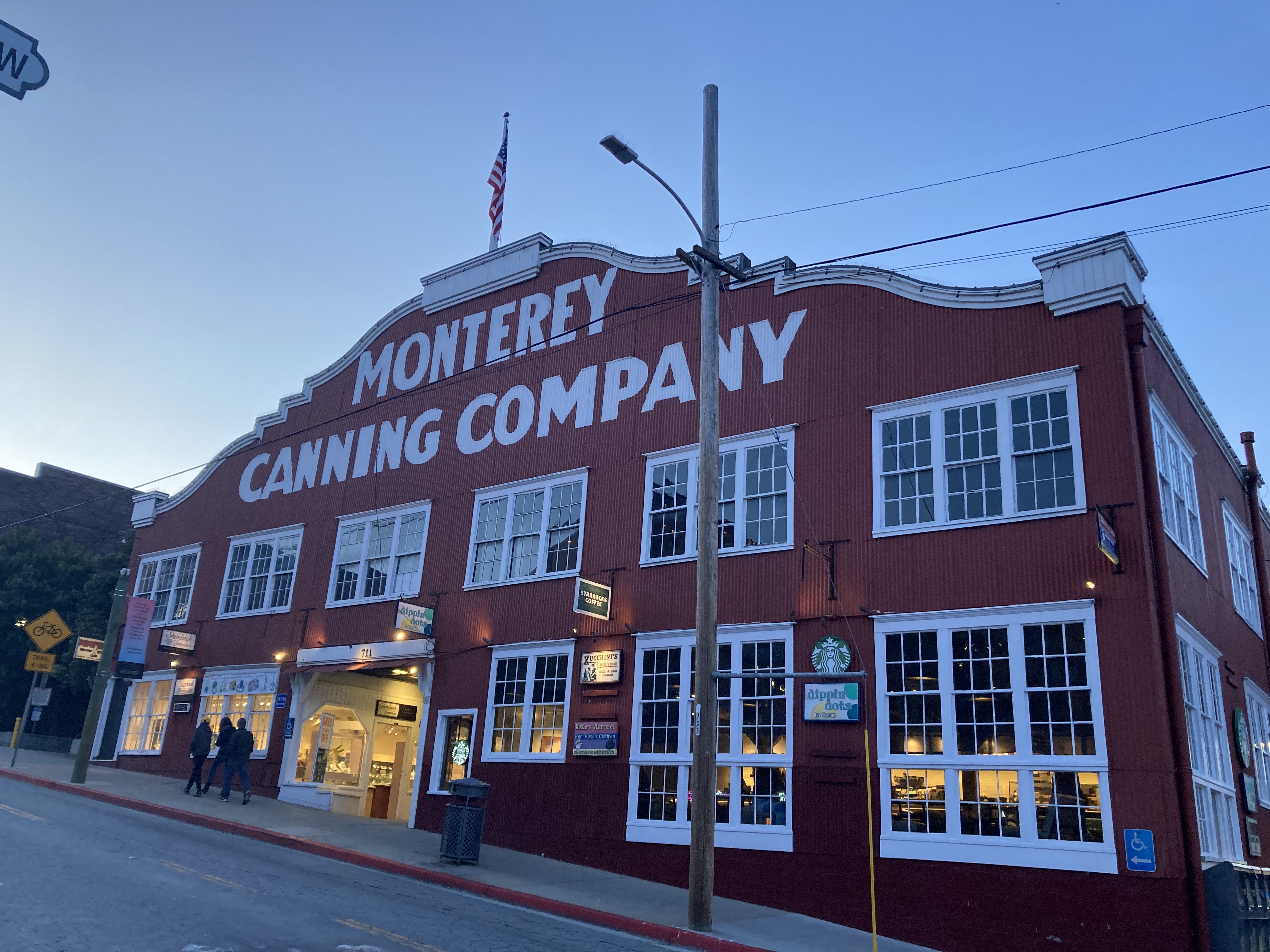
These were definitely high traffic touristy areas, some parts with an upscale feel, and nice to explore.
When I got back to the van around dusk and started looking up an overnight spot, I discovered that sleeping in your vehicle in Monterey was not allowed and that cops regularly did rounds patrolling for this. One person said that some cops told them to go to the Park and Ride in Carmel, Carmel being just about 15 minutes south of Monterey. So I headed there. I wasn’t keen on that particular lot, which felt busy and was right behind a Starbucks. But I saw some vans parked nearby, in a larger lot near a grocery store, and I decided to park there for the night. This is the fluidity and adaptability often asked of you when it comes to sleep spots in vanlife. It was quieter here, save for some yelling youth around midnight which did sketch me out a bit, but otherwise I was not disturbed or asked to move, and this became a favourite spot while in the area.
The grocery store here would prove to be where I picked up a new friend:
I’d originally planned to gift Lamb Chop to my family dog, Bailey. But at some point Lamb Chop became like a comfort companion for me on the road. I remember Lamb Chop on TV from childhood. And as silly as it may be, somewhere along the way I adopted Lamb Chop and couldn’t bare the thought of Bailey ripping into her. I would have to find Bailey another gift.
I spent another afternoon exploring Monterey Bay Aquarium. I may or may not have had an intimate moment with the Octopus, where they came out of hiding in the corner while I was the only one there, scooted across their tank, then settled near the glass and I swear looked into my soul.
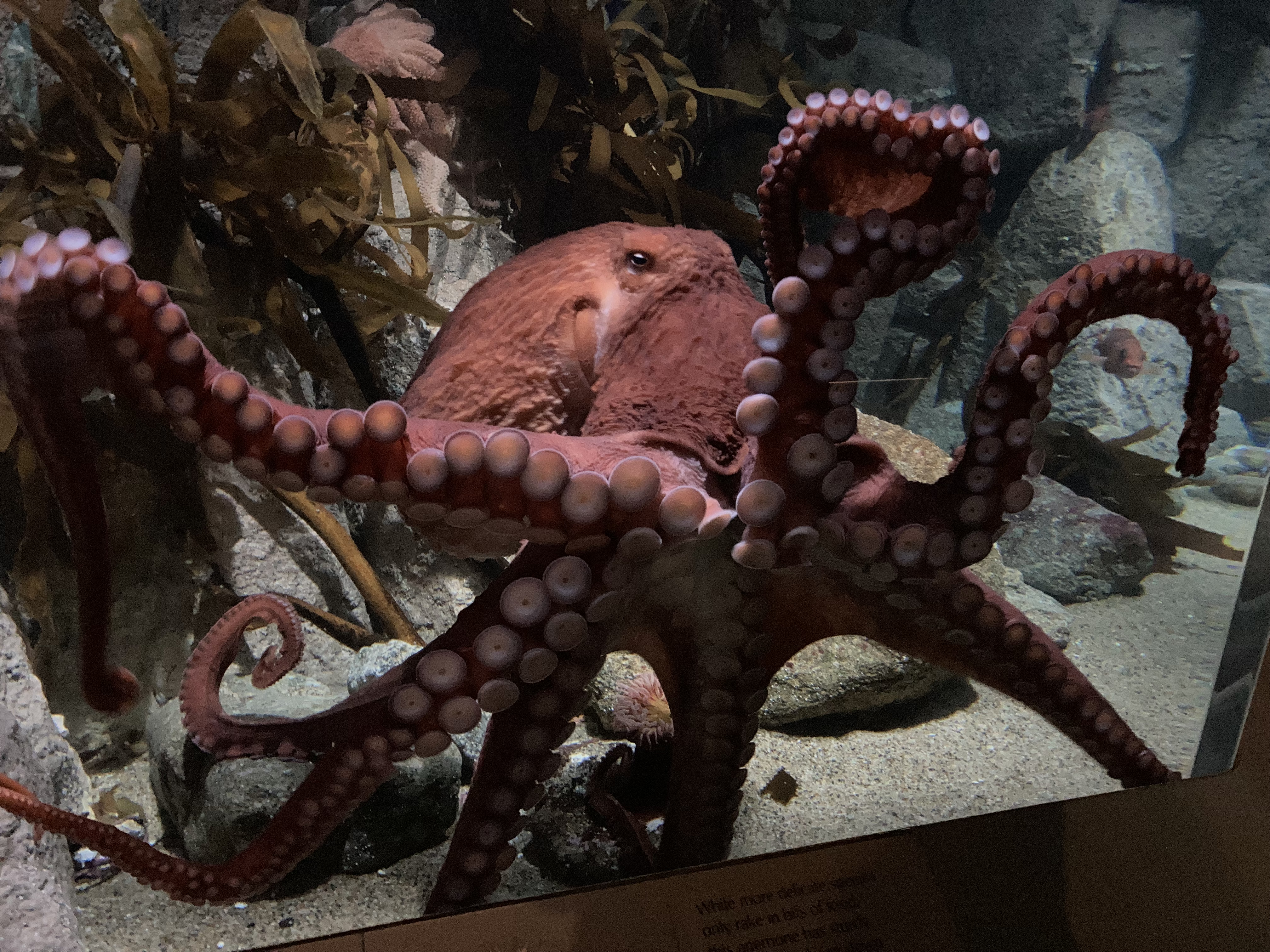
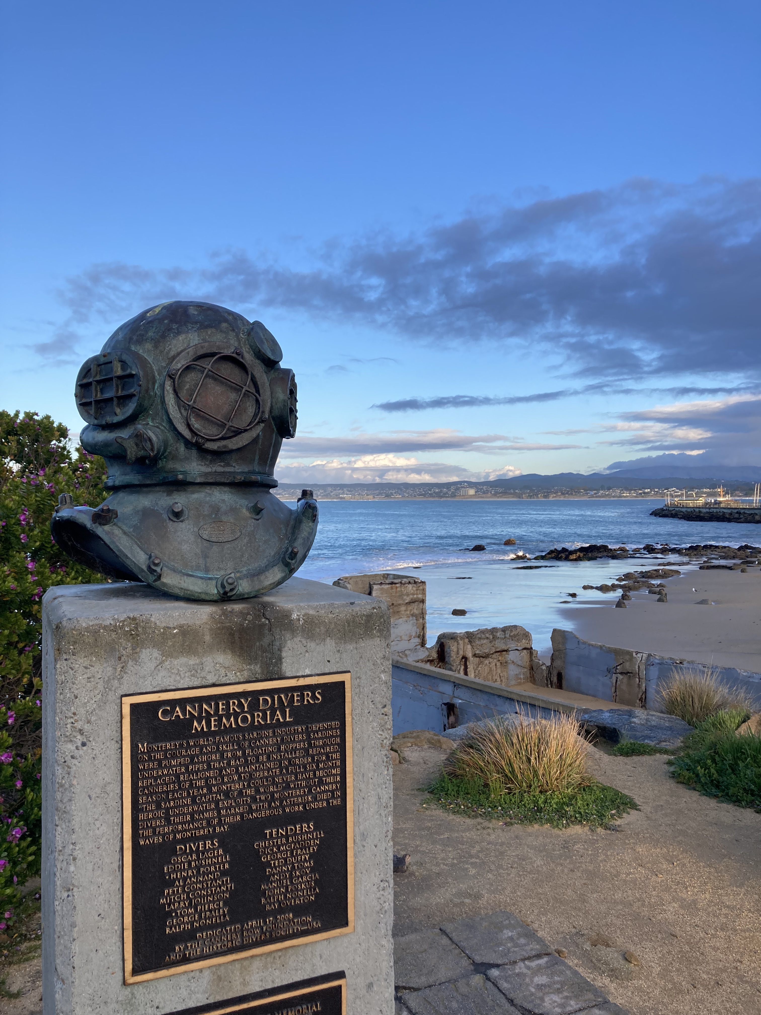
Between Monterey and Carmel is 17-Mile Drive, a scenic toll route along the ocean with many view points to stop at along the way. The area boasts dazzling azure blue waters, pupping habitats for harbour seals, and the only naturally occurring Monterey Cypress trees, including a grove of the oldest (nearly 300 years old) and the famous Lone Cypress, which stands alone and exposed on the coast. The rolling waves and smell of ocean was magnificent – made me so happy!

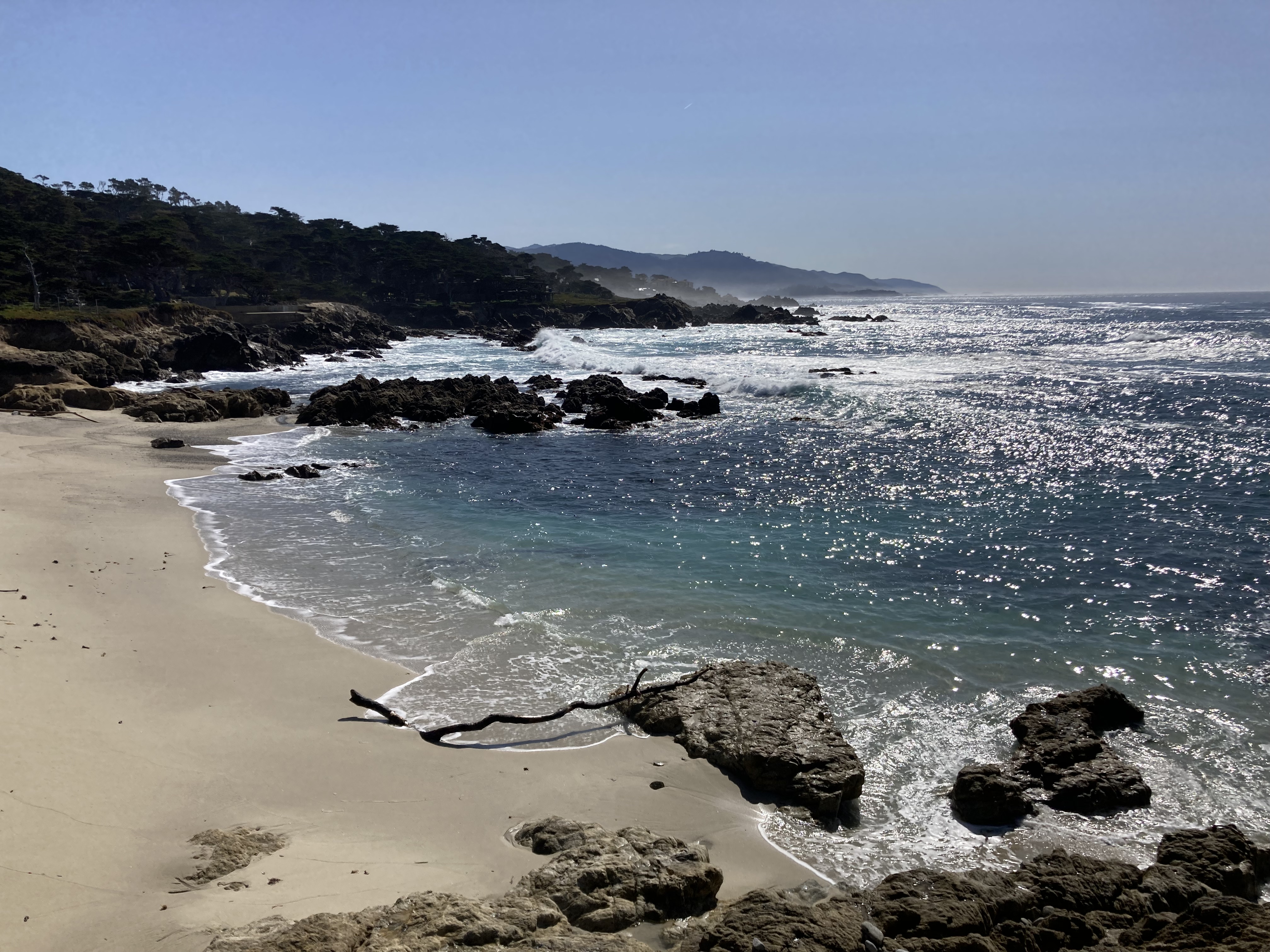
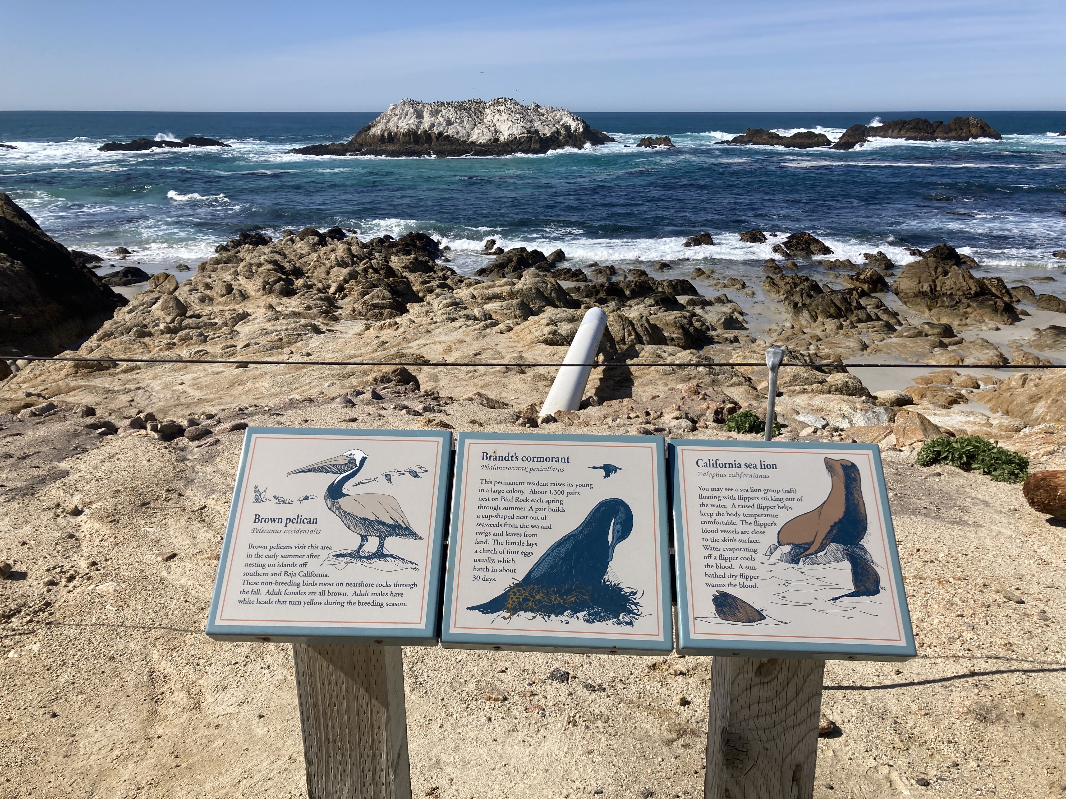
If I were to compare Carmel By The Sea to Monterey, I would say that Carmel feels a bit quieter, a bit sweeter. It still has a downtown area that is quite popular, but it feels a bit less industrial, a bit less touristy in the kitschy sense. Carmel is a tiny town of just over 3,000 residents on the Monterey Peninsula, with artistic, storybook charm.
Ocean Avenue is the main strip in Carmel. I parked near the bottom of the street by Carmel Beach (hard to find a spot), then walked up Ocean Avenue, taking my time exploring the shops (like Cottage of Sweets). Get your souvenirs, get a coffee, keep your eyes peeled for unique finds.
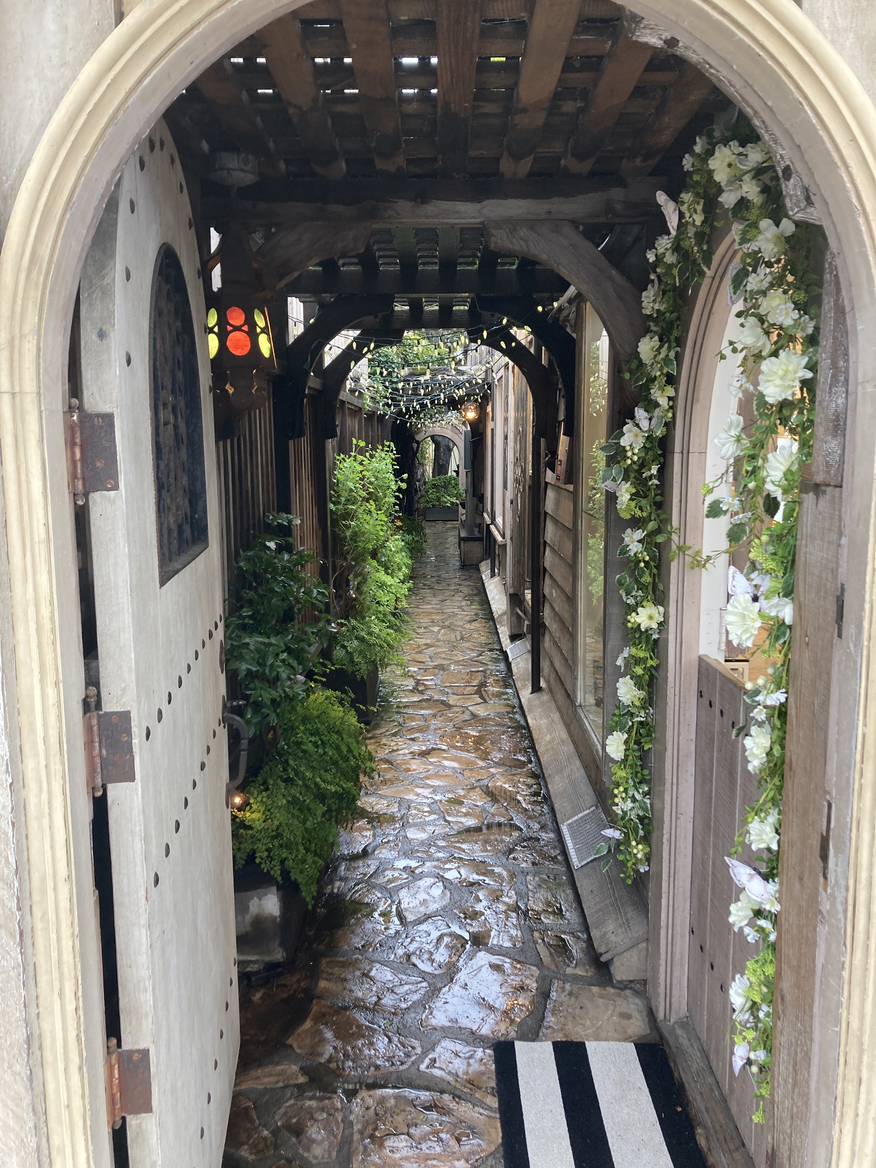
A staple of the area is its “fairy tale cottages” – you can get a map at the visitor centre, and you know I wandered around taking in the whimsical little homes.
I took a stroll along Carmel Beach.
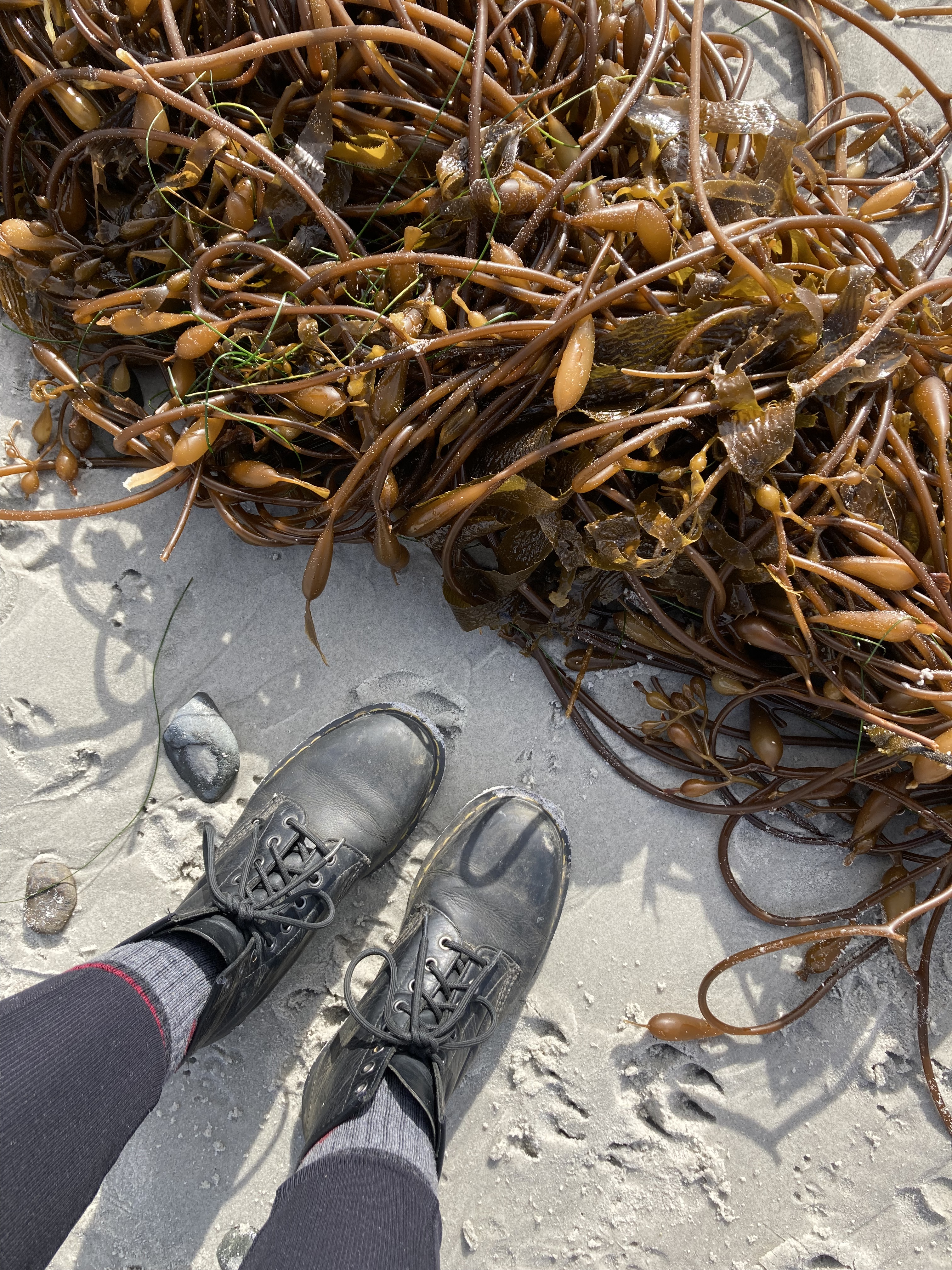
Then I headed to Mission Ranch for dinner. Fun fact: Clint Eastwood owns Mission Ranch, is a longtime resident of Carmel By The Sea, and was once the town’s mayor. It’s a really beautiful, quiet spot, with sheep grazing in open fields and views of the ocean and Pacific coast. Sadly – I did not see Clint.
I left Mission Ranch a little before dusk and headed to Carmel River State Beach. You can drive along Scenic Road from Carmel Beach to Carmel River State Beach for – you got it – scenic views. I joined Scenic Road near Mission Ranch and there were plenty of people pulling off to the side of the road to take in the sunset. I parked near the beach and went for an evening stroll.

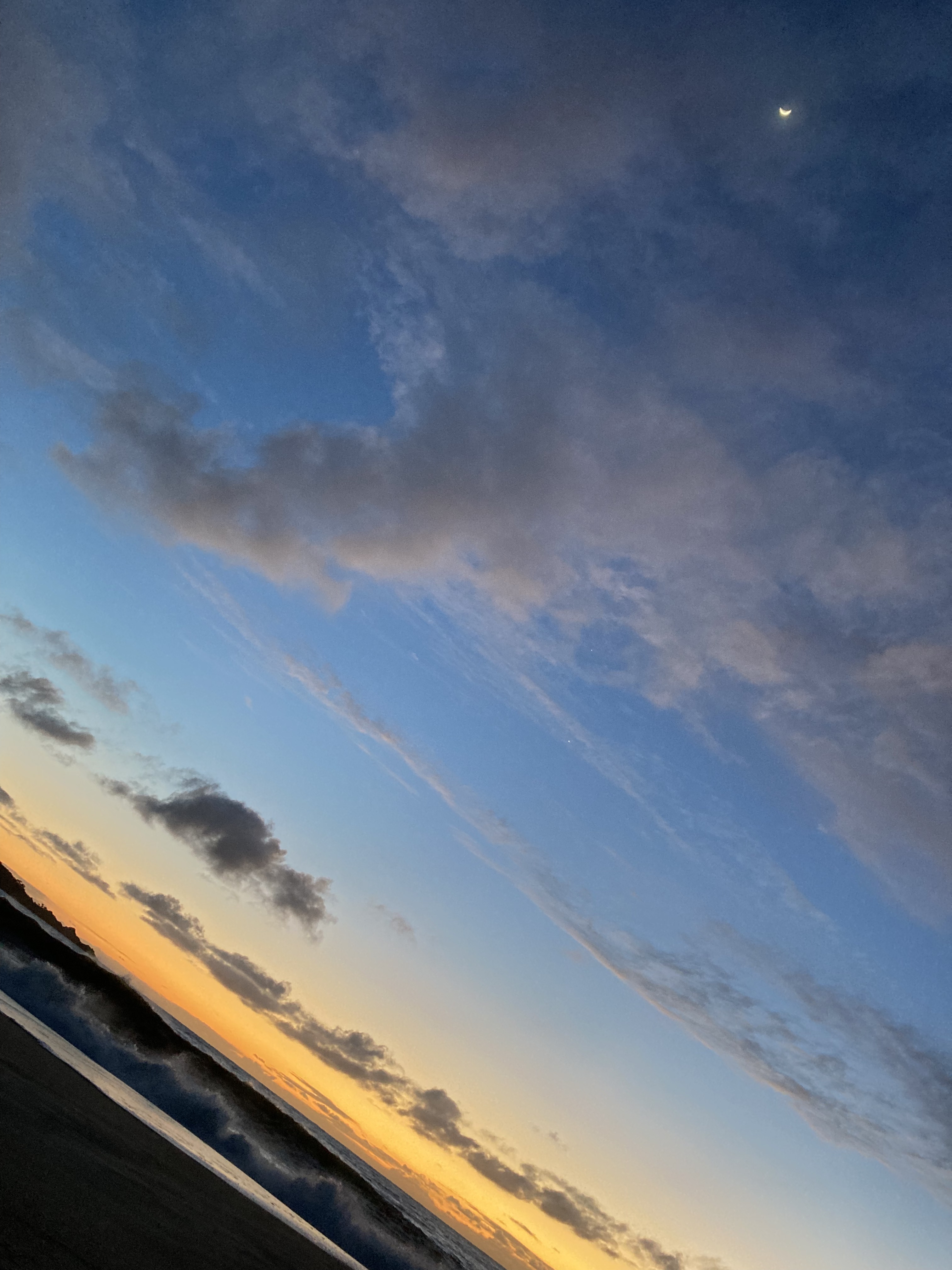
A little further south is Point Lobos State Natural Reserve. There really are endless destinations along the west coast to take in the shoreline. Does it ever get monotonous? You certainly don’t need to see them all. But they each have unique features and shift in appearance progressively as you move further north or south. I adore the ocean. And I liked watching the coast evolve. I spent an afternoon hiking here.
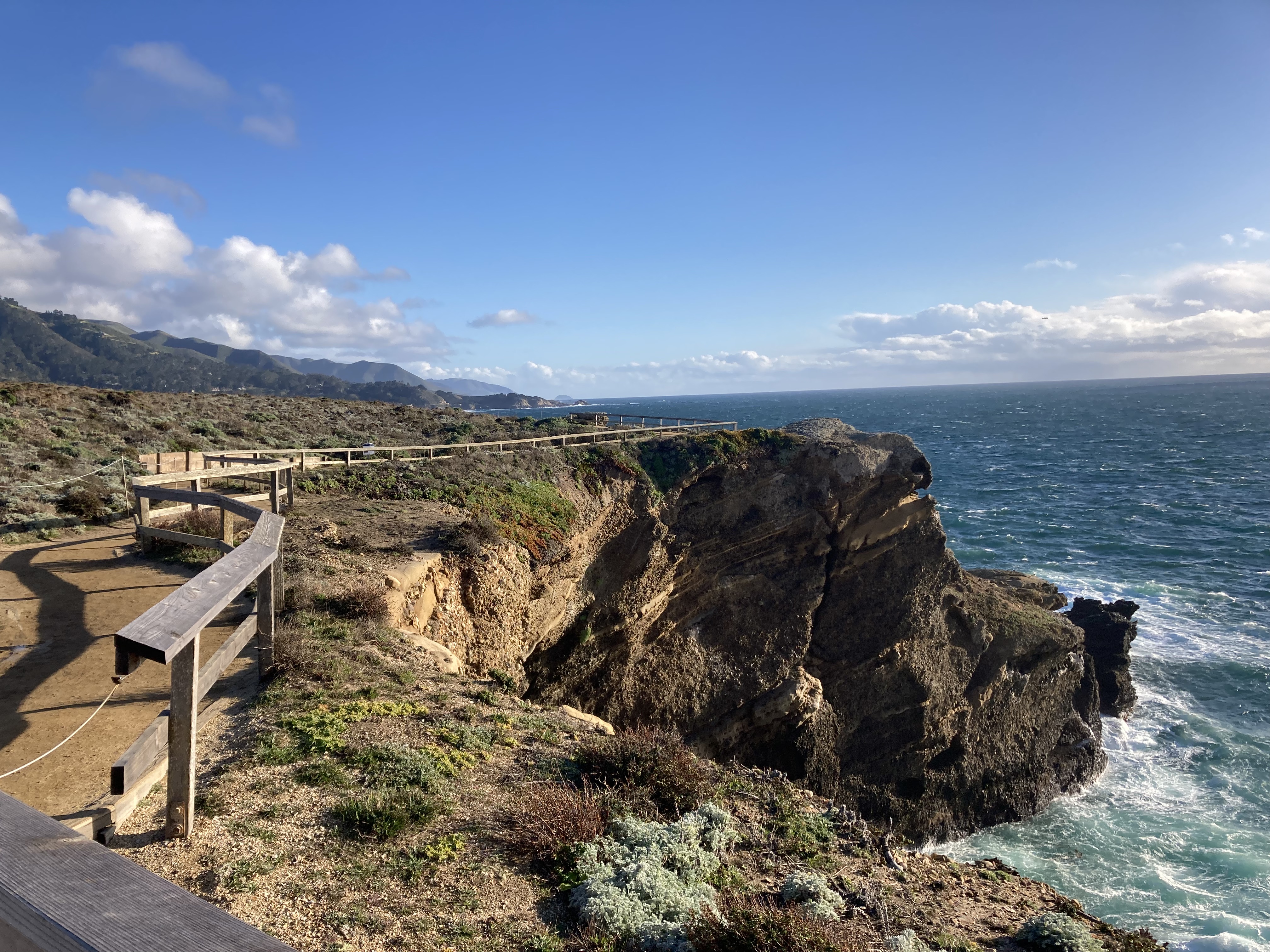
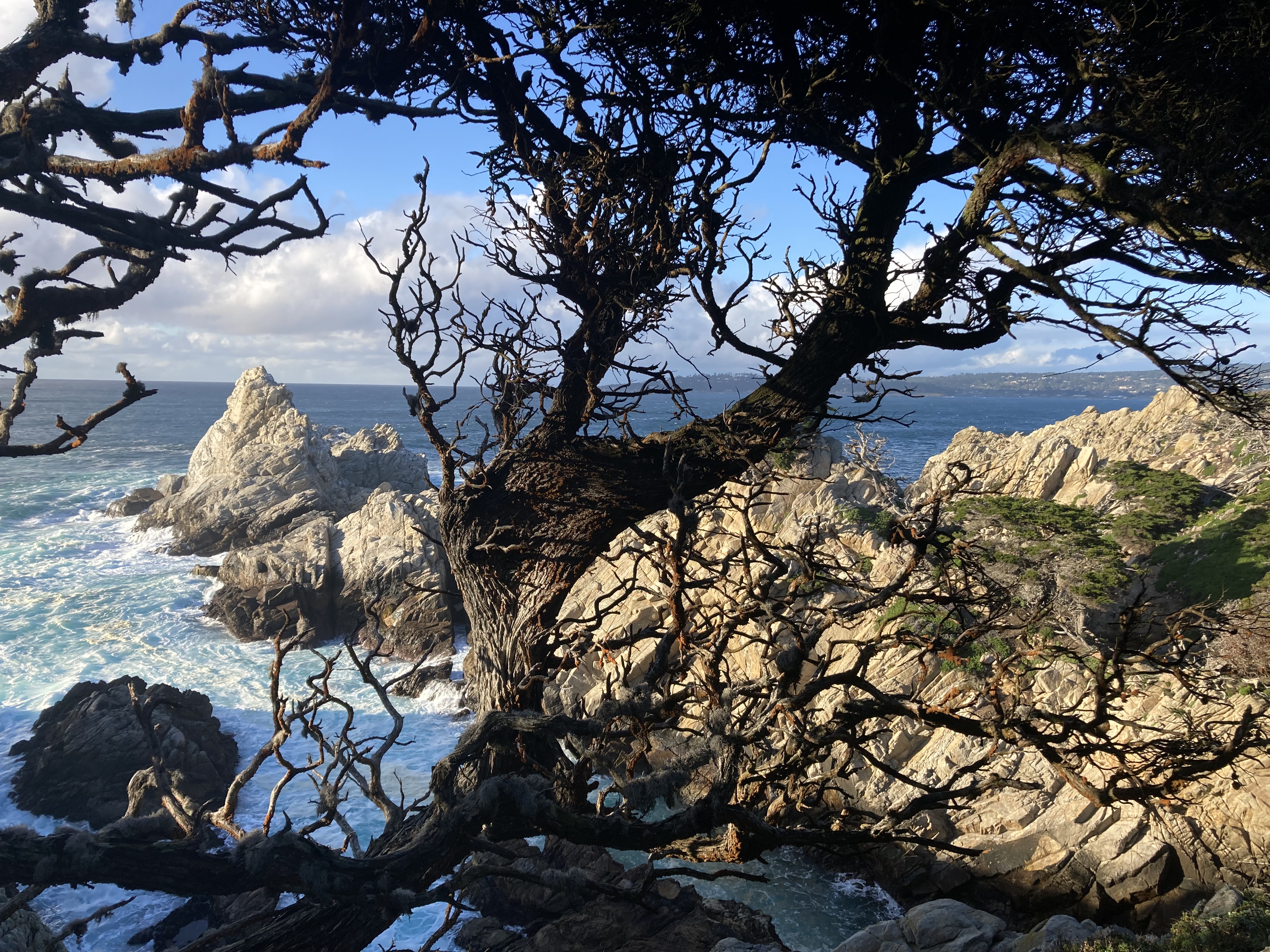
It’s funny what you remember about places. I was constantly listening to music on the road, and around Monterey and Carmel I had gotten back into Limp Bizkit. Music is my soundtrack and becomes attached to times, places, and memories. So if there was any artist to embody this point in time and part of California’a coast for me – it was Limp Bizkit.
My final destination in Carmel was the Carmel Mission Basilica Museum. There are an abundance of missions sprinkled across cities on the SoCal coast that tell cultural and historical tales of these areas. While I’m not a fan of evangelism, it was a different time, and I like to learn about the history of the places I’m visiting, which informs the culture, and as we well know by now – I enjoy bearing witness to historical architecture.
This mission was founded in 1771 by Father Junipero Serra, the second mission in “Alta California”, with the aim of expanding Spain’s influence by converting Indigenous folks to Christianity. It was interesting to learn that Alta California was the territory of New Spain in the early 1800s, and it was part of Mexico after Mexico gained independence from Spain in 1821. Then in 1848 California became part of the US after the Mexican-American war.
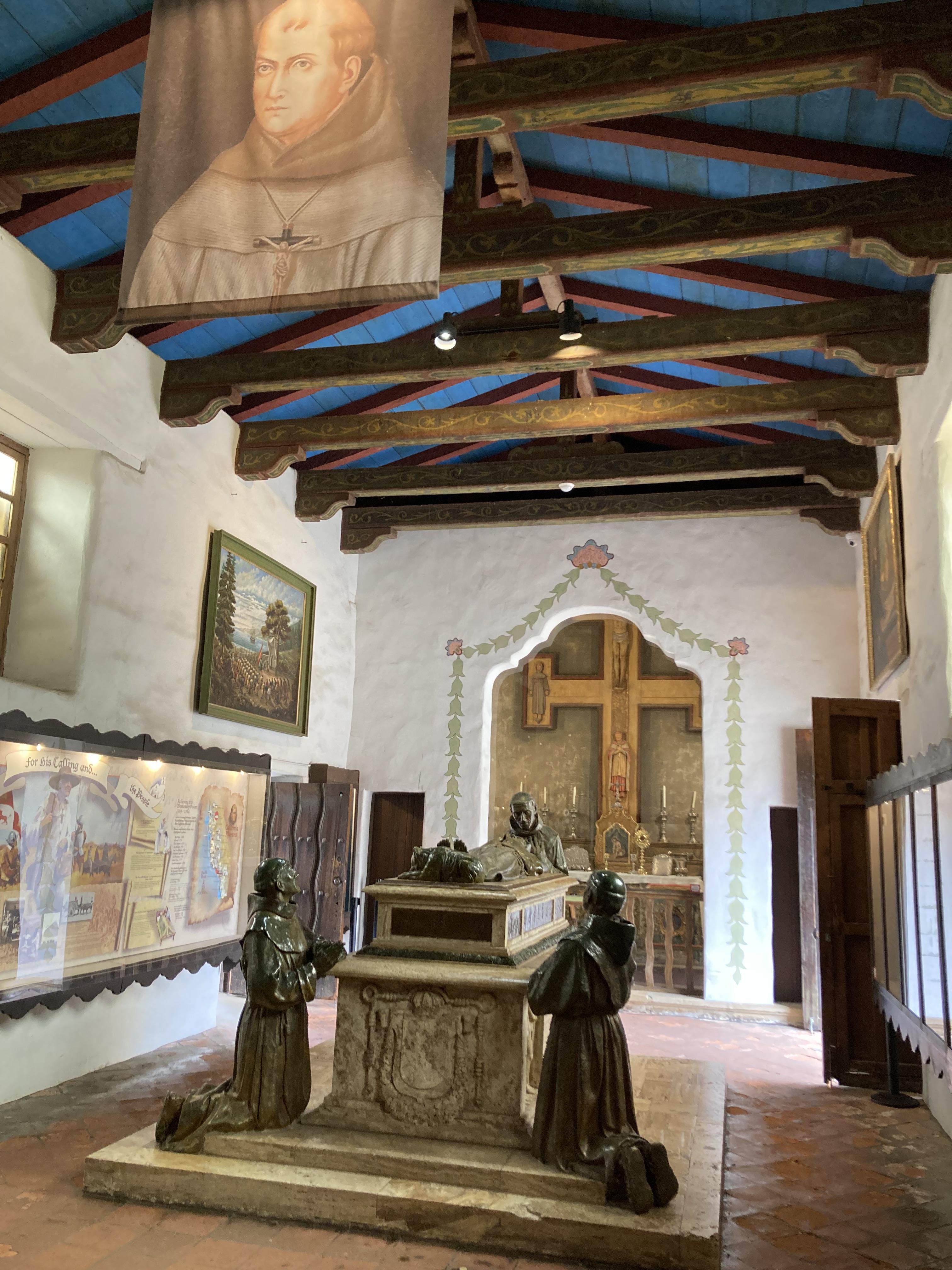

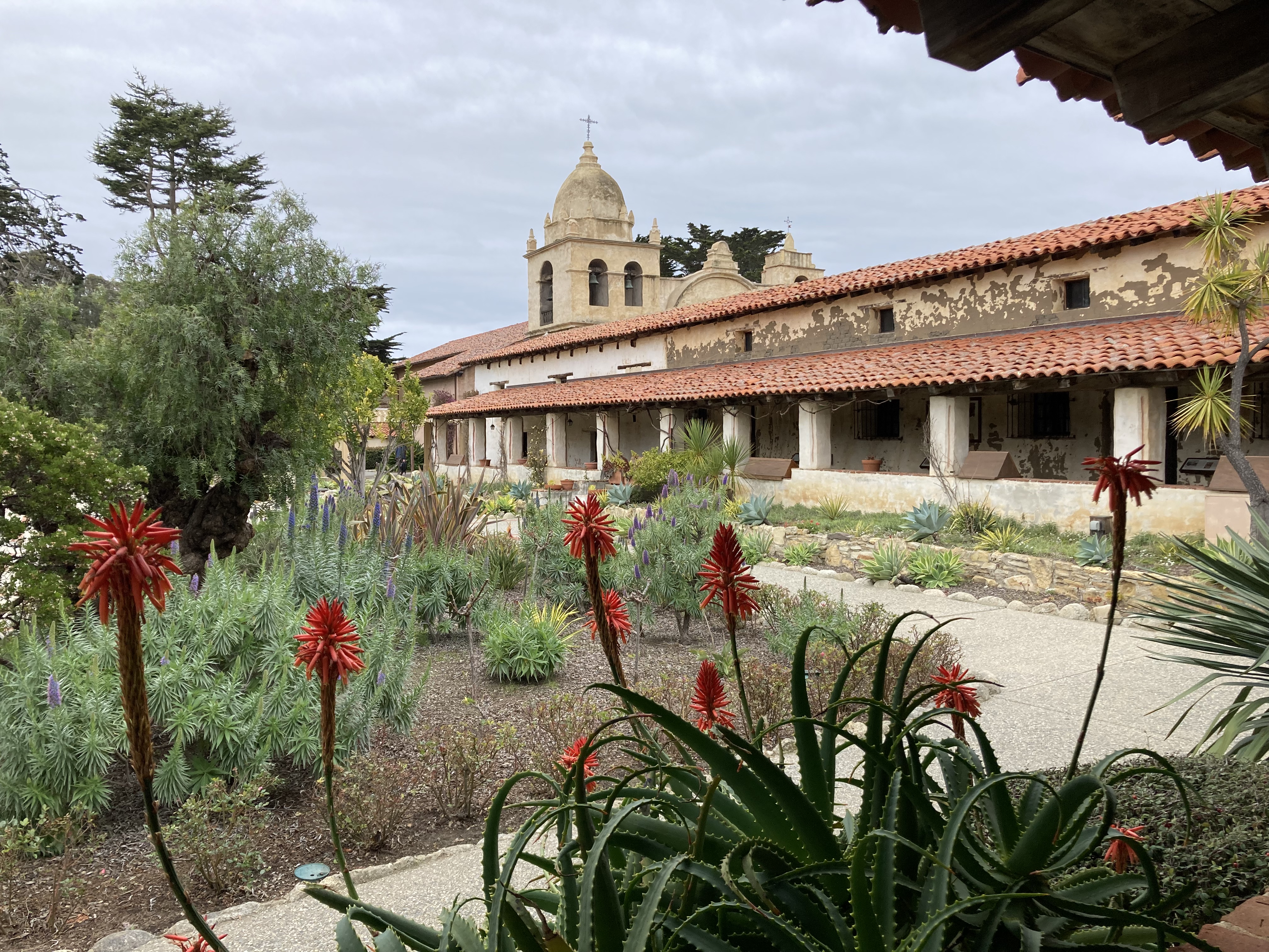
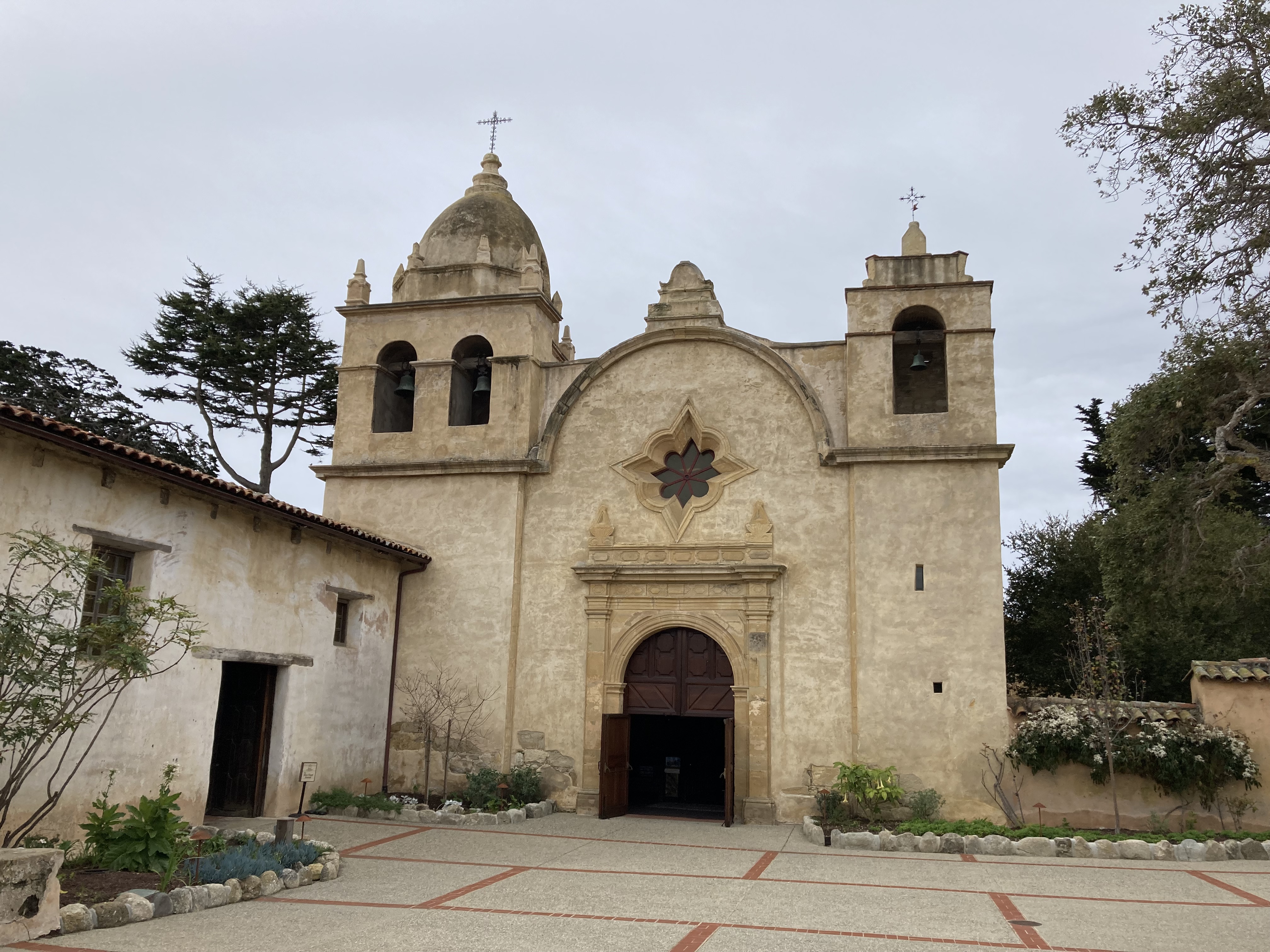
Misc
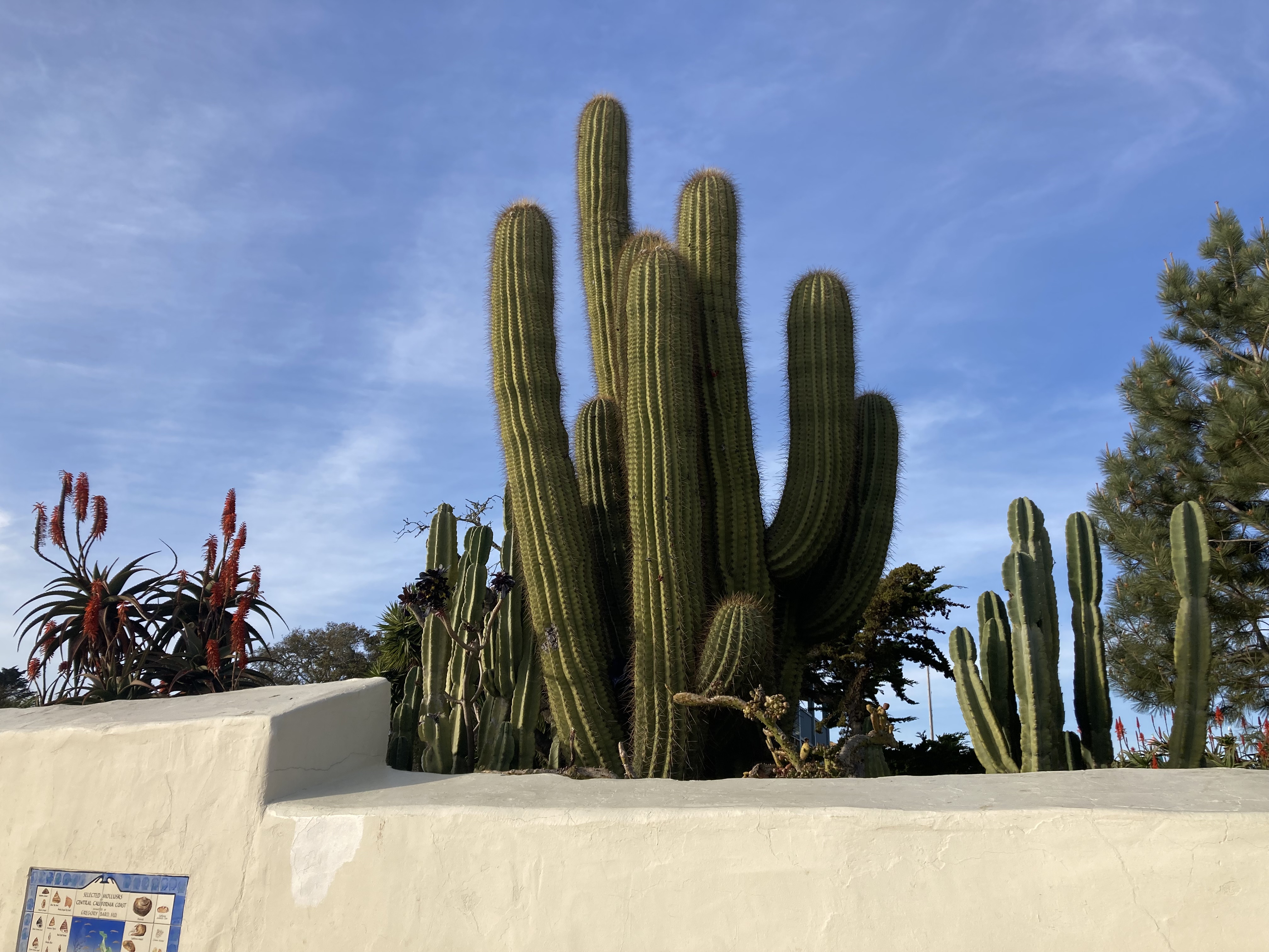
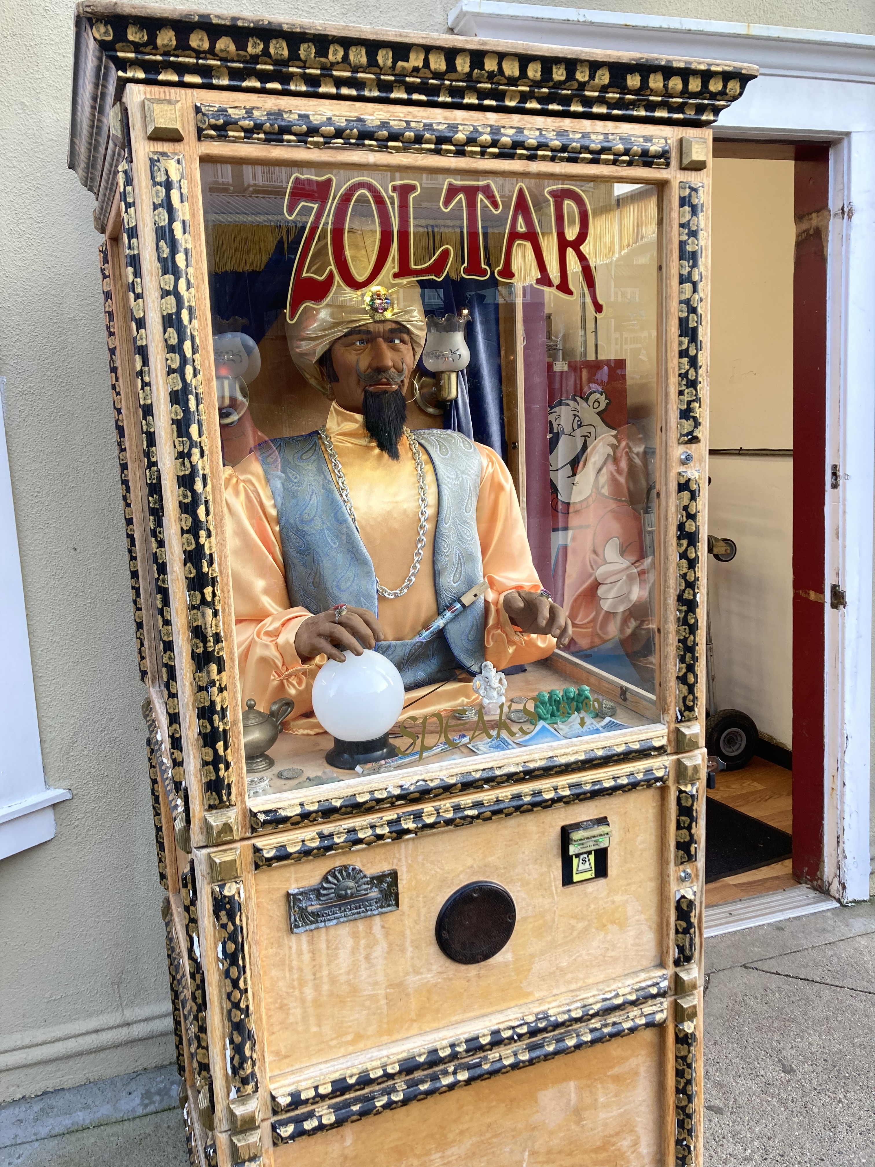
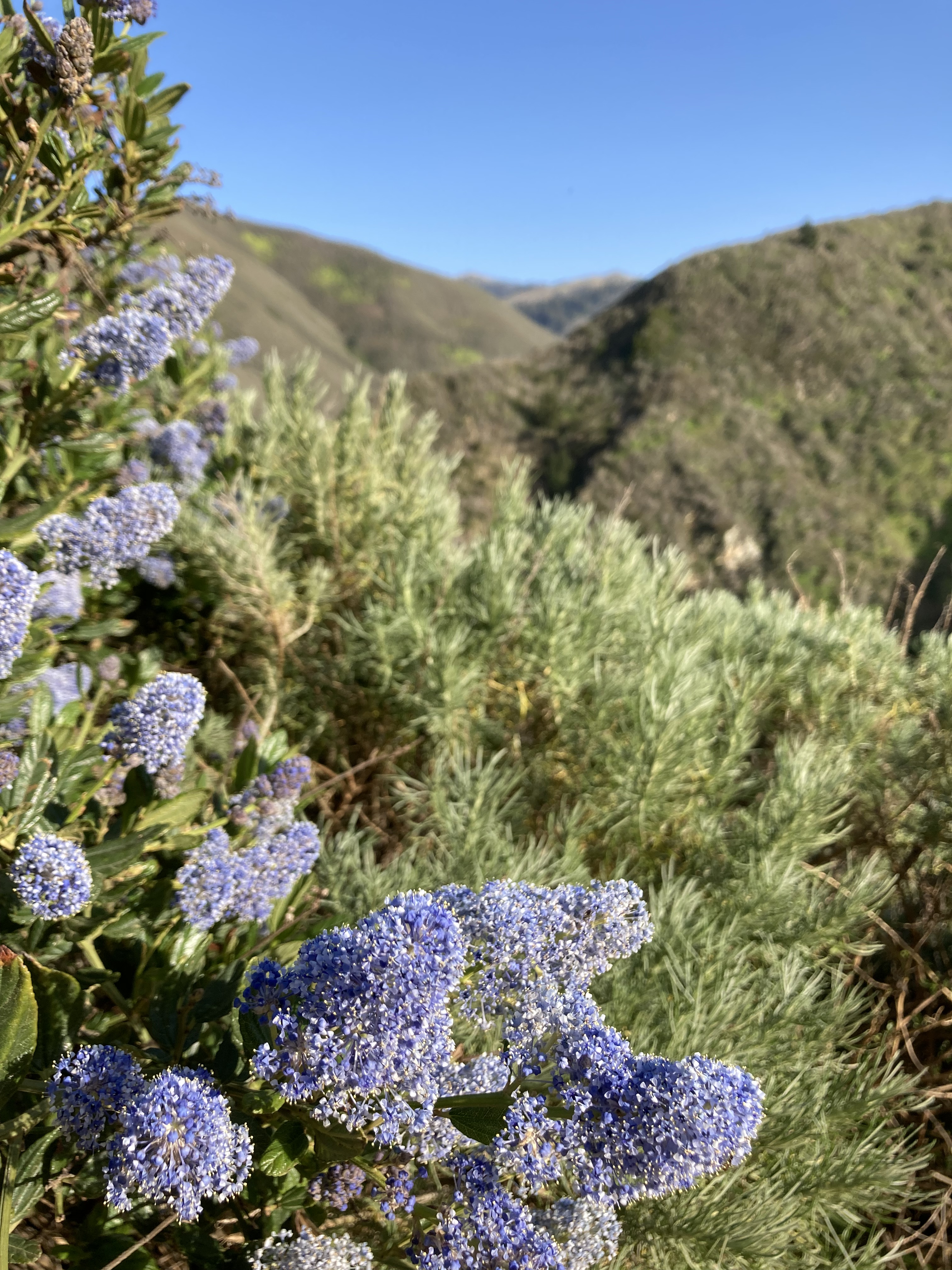
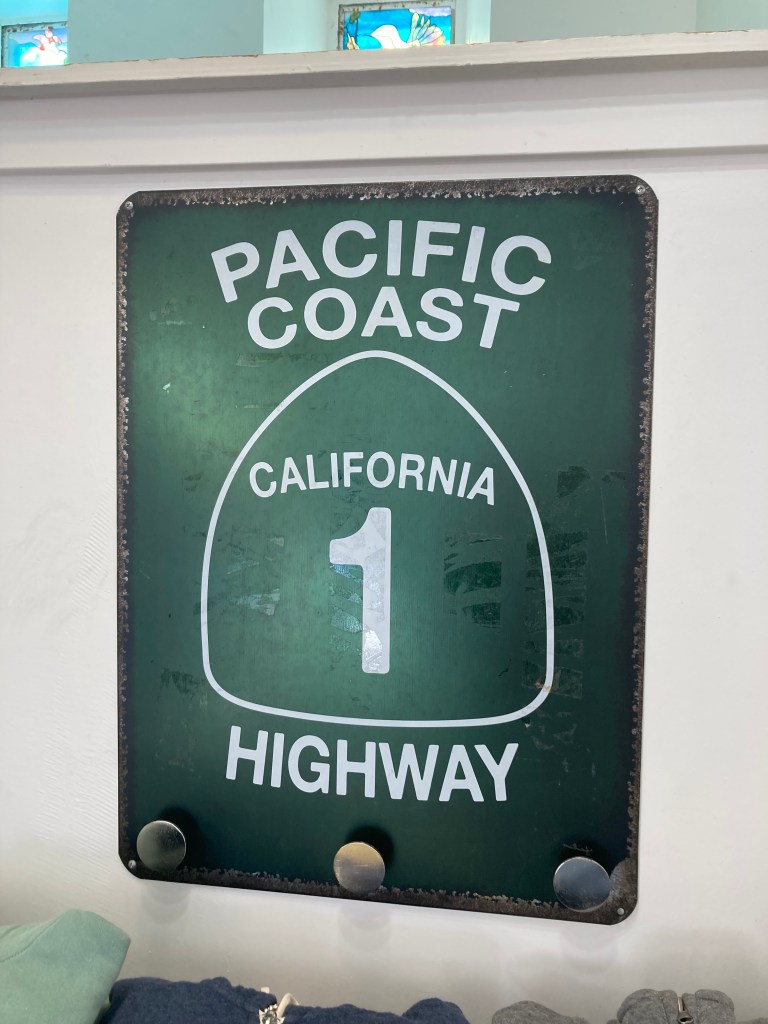
Big Sur
I’ll be honest, I’d heard of Big Sur, heard rave reviews, but didn’t really know what it was until I got there. And if I’m being even more honest – it didn’t blow my mind like it seemed to do for others. Now, just because that’s my experience, obviously it doesn’t mean it will be others’ experience or perception. I’ve heard people talk about places I’m in love with, saying how they were just okay or how they didn’t enjoy them. So don’t take my word for it – make up your own mind. It was beautiful, but maybe the hype toyed with my mind. And we’re all called to different things!
That said, Big Sur is a landmark area on California’s central coast. It covers about 90 miles of rugged coastline from Carmel to San Simeon. Here, the Santa Lucia Mountains meet the Pacific Ocean and you’re among redwood forests.
At the time of my visit, you could not drive the whole length of highway through Big Sur. There was roadwork being done, repairing areas that had suffered landslides, which are not uncommon here. As of January 2026, the whole road is open for the first time in the last three years. Given the road closure, I could not access all of the area, and I would have to back track to Carmel and then drive over to highway 101 in order continue south.
One of the most popular areas in Big Sur, Pfeiffer Beach (sea stacks, keyhole rock, great sunsets), was closed during my visit, as were a few areas. Not being able to access much of what Big Sur had to offer could certainly have contributed to my impression.
Driving south on Highway 1 from Carmel, my favourite part of the area was easily Bixby Creek Bridge. It was a treacherous endeavour to find parking (and I mean I was on the edge of sandy cliffs and could have easily gotten stuck on a one way road, with people crowding the area with their vehicles). I don’t really know how I maneuvered my van in there. But I’m glad it worked out.
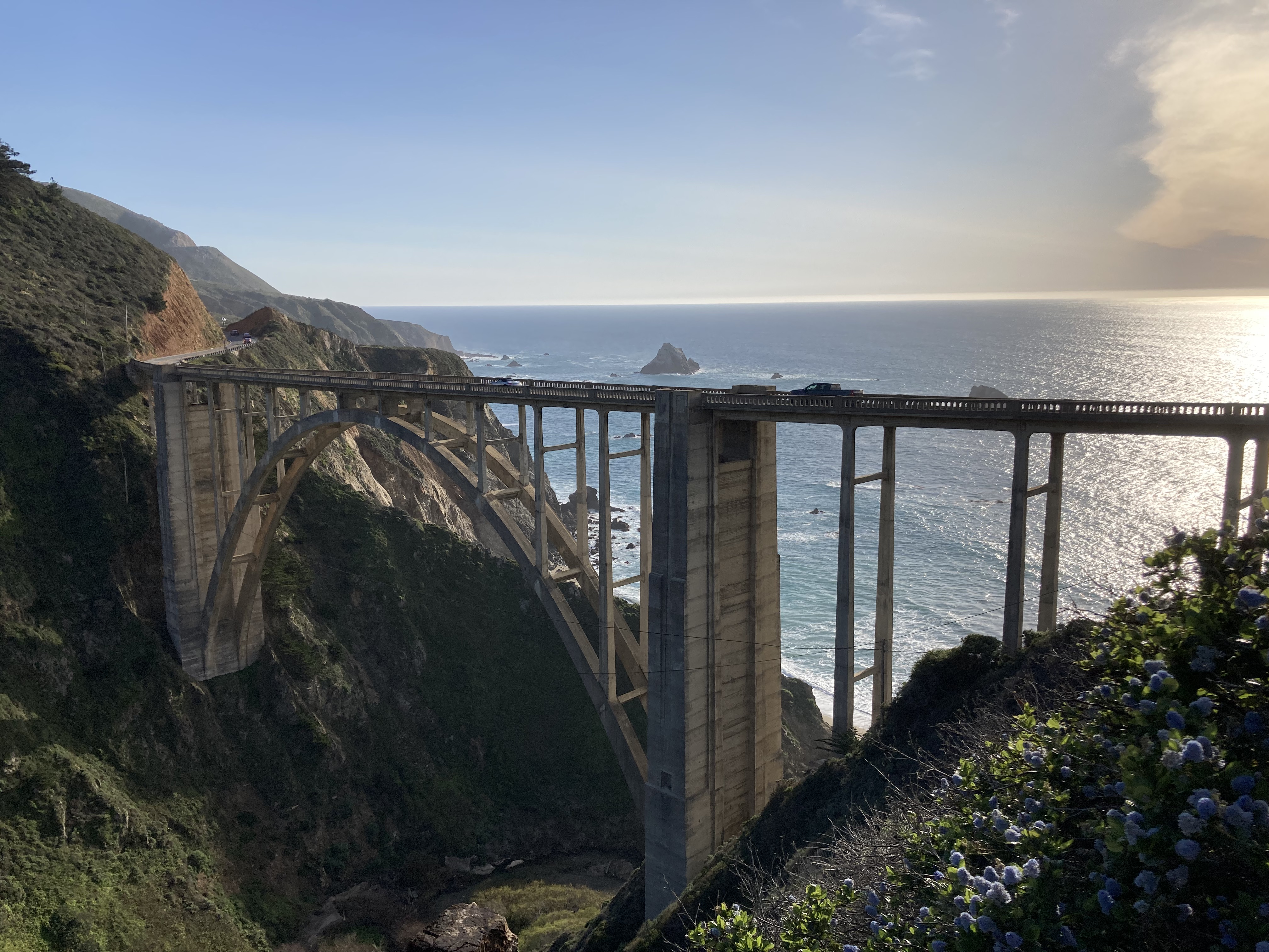
The coastline just south of the bridge (there are several turnouts to pull off the road), looking back north, were also stunning.
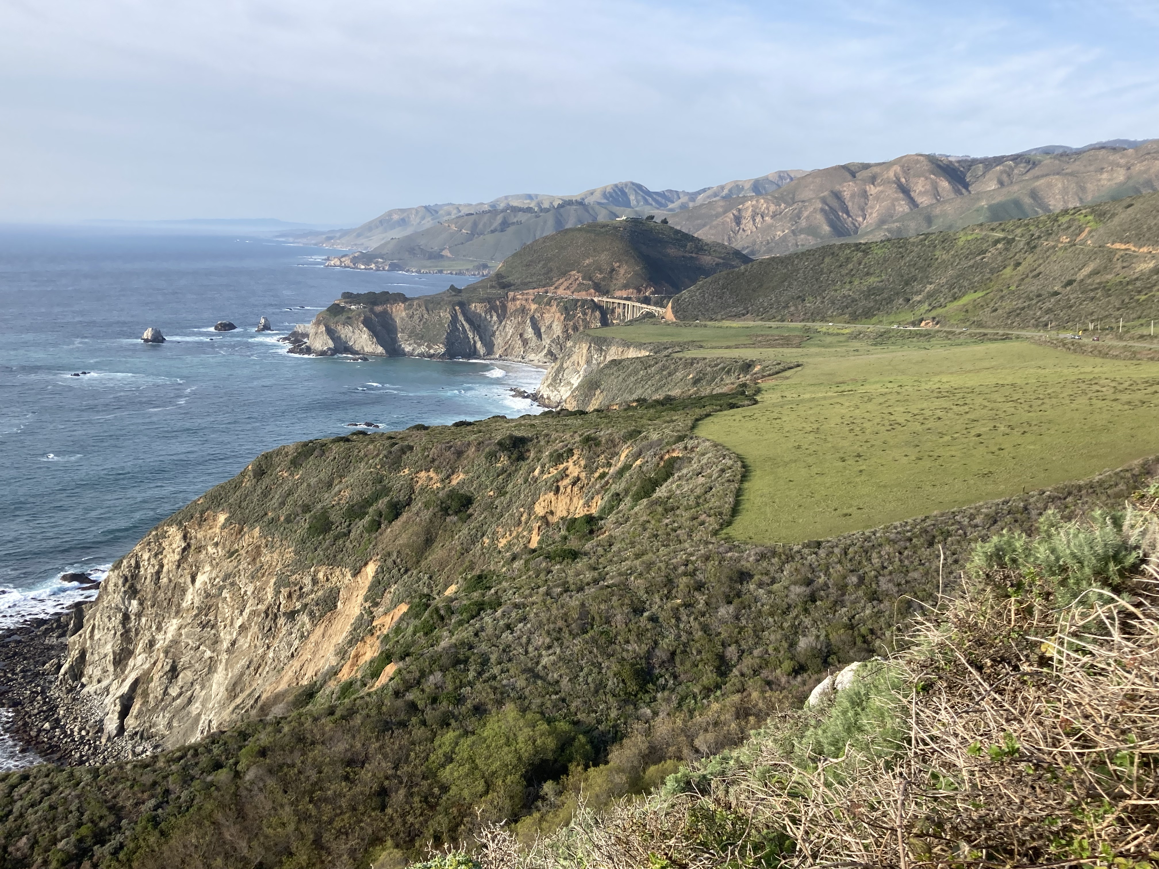
The narrow, winding PCH definitely provided the quintessential coastal California experience as I made my way to Big Sur Campground & Cabins for two nights.
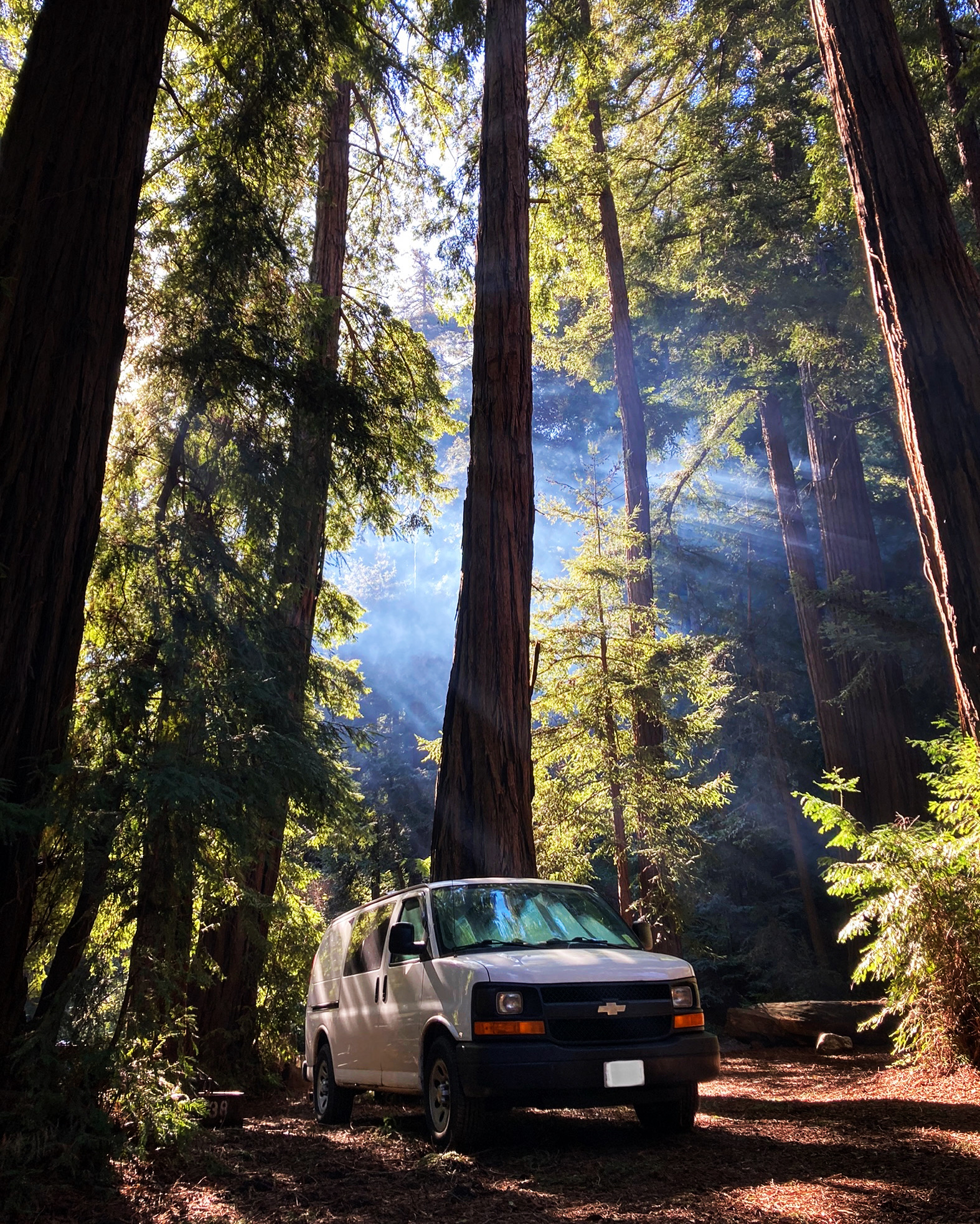
It was markedly colder in the forest than it had been at sea level on the open coast. The elevation and shelter among the giant redwoods, in addition to the environment’s penchant for fog, likely had something to do with that.
I spent my time here exploring as well as doing laundry and getting a run in. I got to McWay Falls, and also found a little area with some shops and a restaurant (the popular Nepenthe).
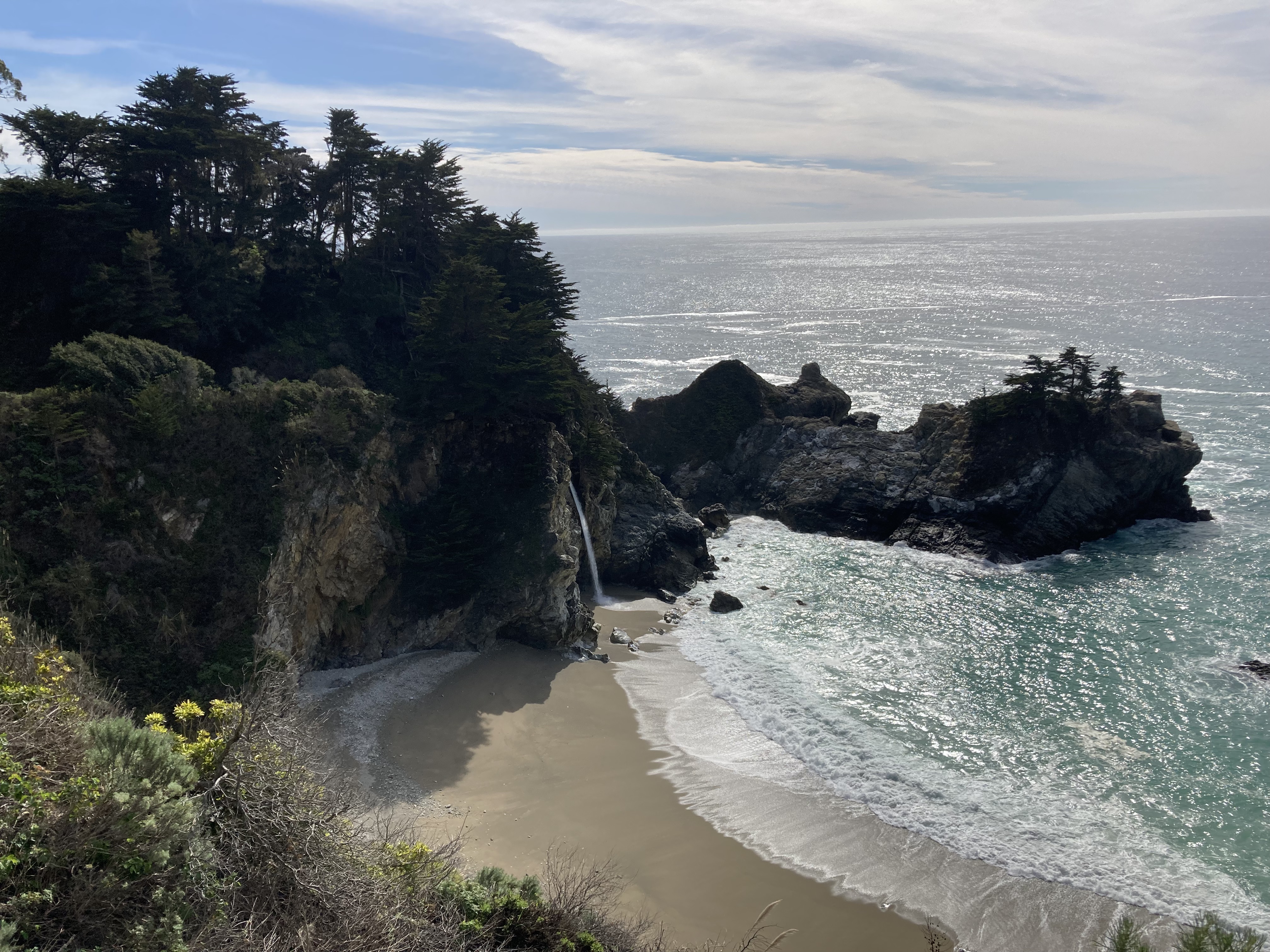
And sometimes you’ve got to treat yourself while you enjoy your digs…
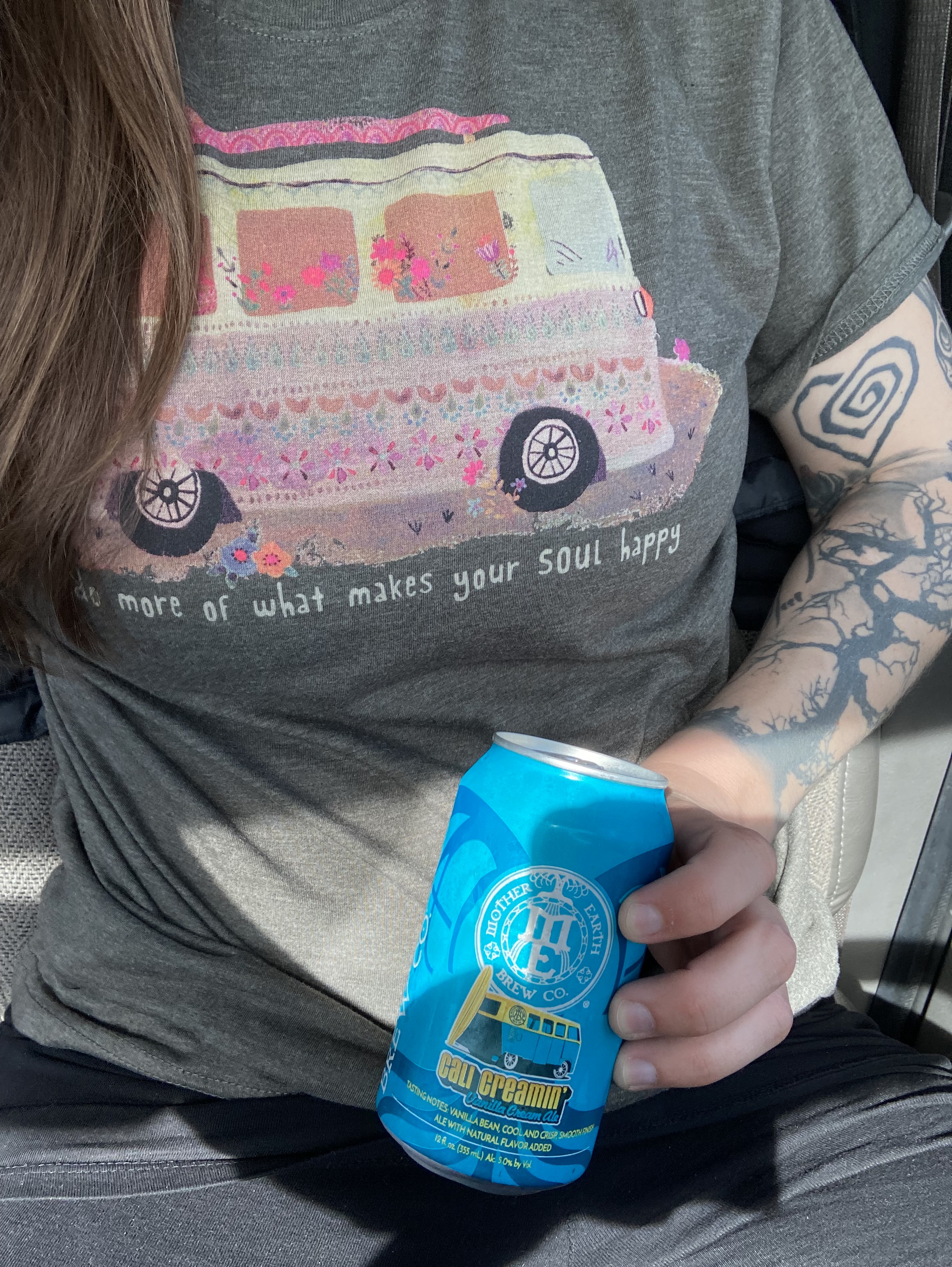
Visit Big Sur Station for information about the area (closures), hiking/camping guidelines, and to see the visitor centre.
Finally, on my way out of Big Sur and back towards Carmel I stopped at Garrapata State Park, which is essentially a little portion of the coast just off the highway.
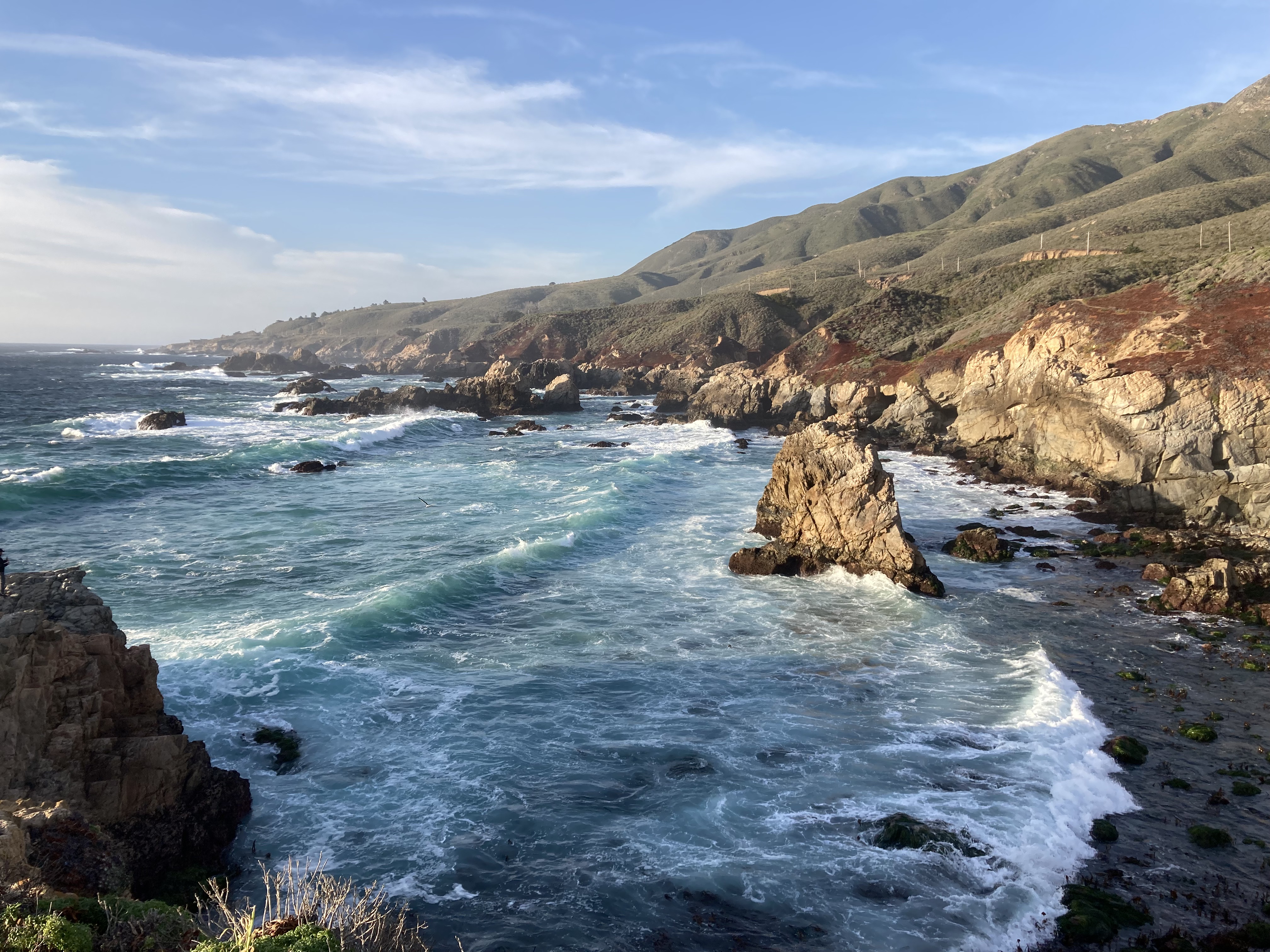
Cambria, San Simeon, & Ragged Point
I didn’t know it yet, but I was about to discover another gem.
I headed inland from the Monterey Peninsula to the 101 and then south to get around Big Sur. I would have preferred driving the length of the coast through Big Sur – to take in all of the views and utilize the most direct route. But landslides will landslide, and at least bigger highways offer the convenience of rest areas as built in overnight options. I took Route 46 back to the coast, arriving just south of a little town called Cambria.
There are several areas to pull off Route 46 to take in the surrounding views of rolling hills – take them. Bright green grass, grazing cows, and views of the ocean and Morro Rock. I would eventually discover that I could overnight at some of these pullout viewpoints and it remains one of my most cherished locations.
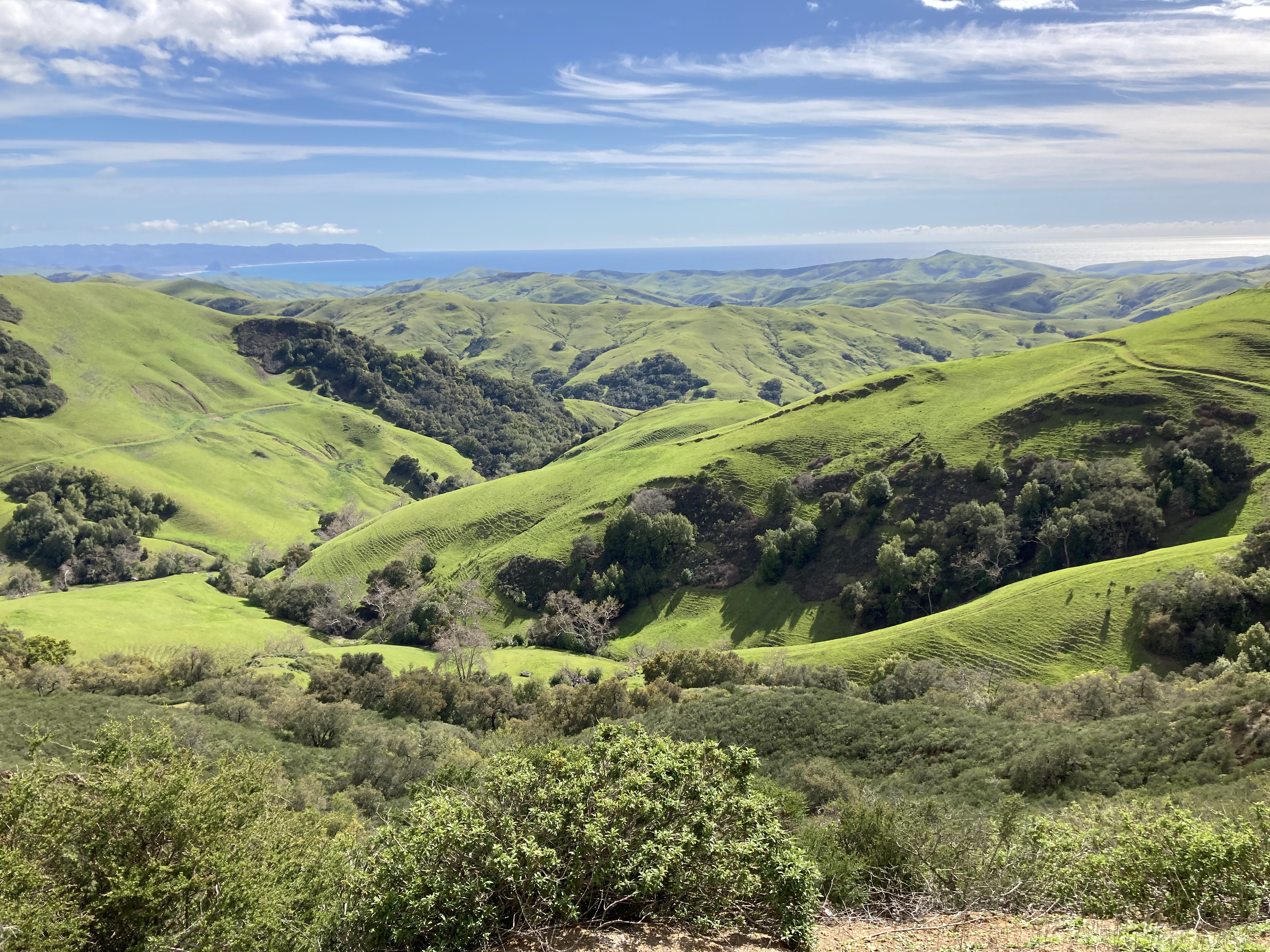
Cambria is a small seaside village just south of Big Sur, about midway between San Francisco and Los Angeles, within San Luis Obispo County. It has a population of about 6,000 people. It is also just south of San Simeon (an unincorporated community with only about 300 residents) and the popular attraction: Hearst Castle.
I first checked out downtown Cambria as I got my bearings. There is a cute little stretch of shops, including those with antiques, wellness products, and even a psychic. It’s fun to explore shops, but like I’ve said, it’s also a nice way to support the areas you’re visiting, and strike up conversation with locals.
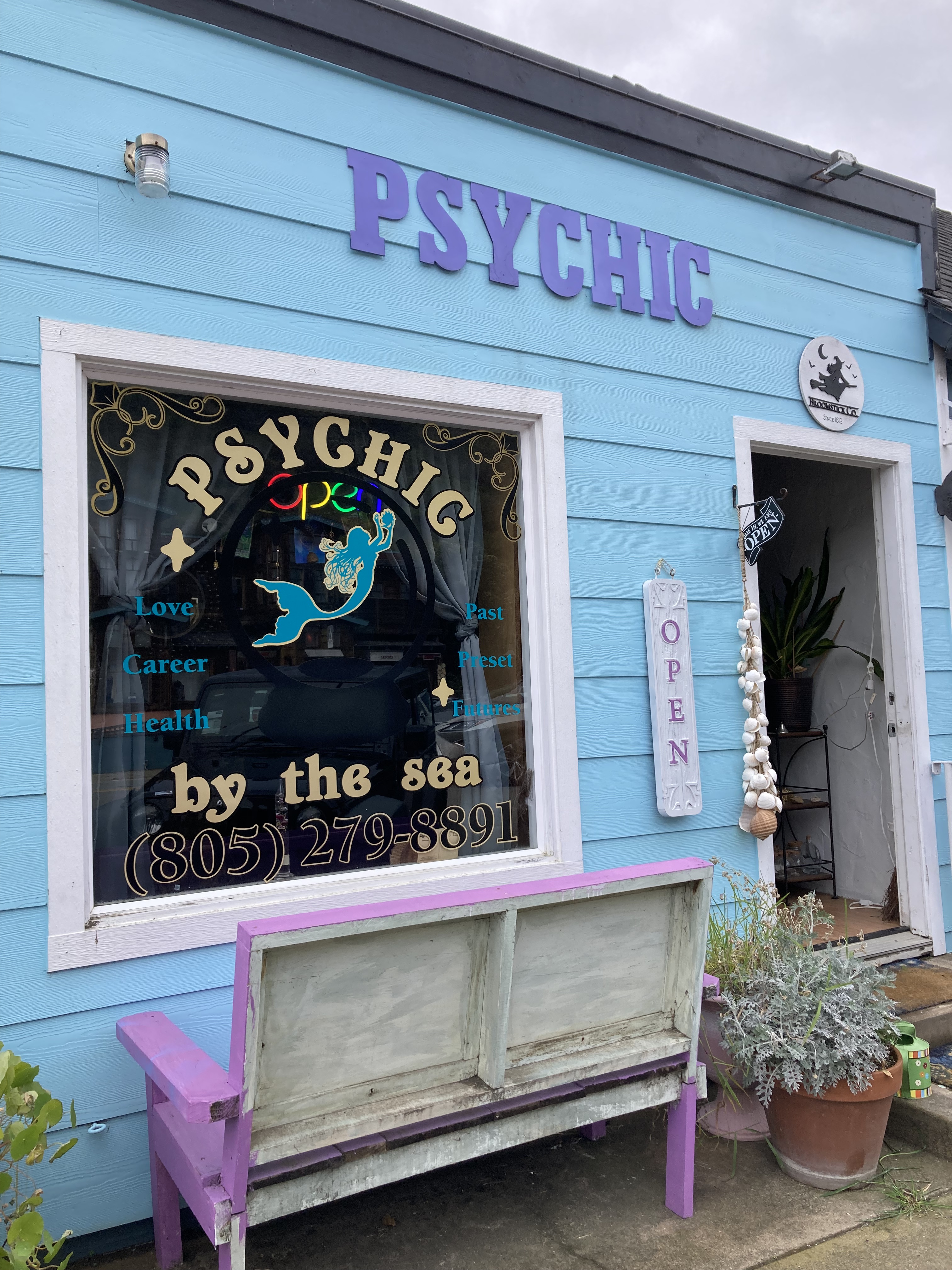
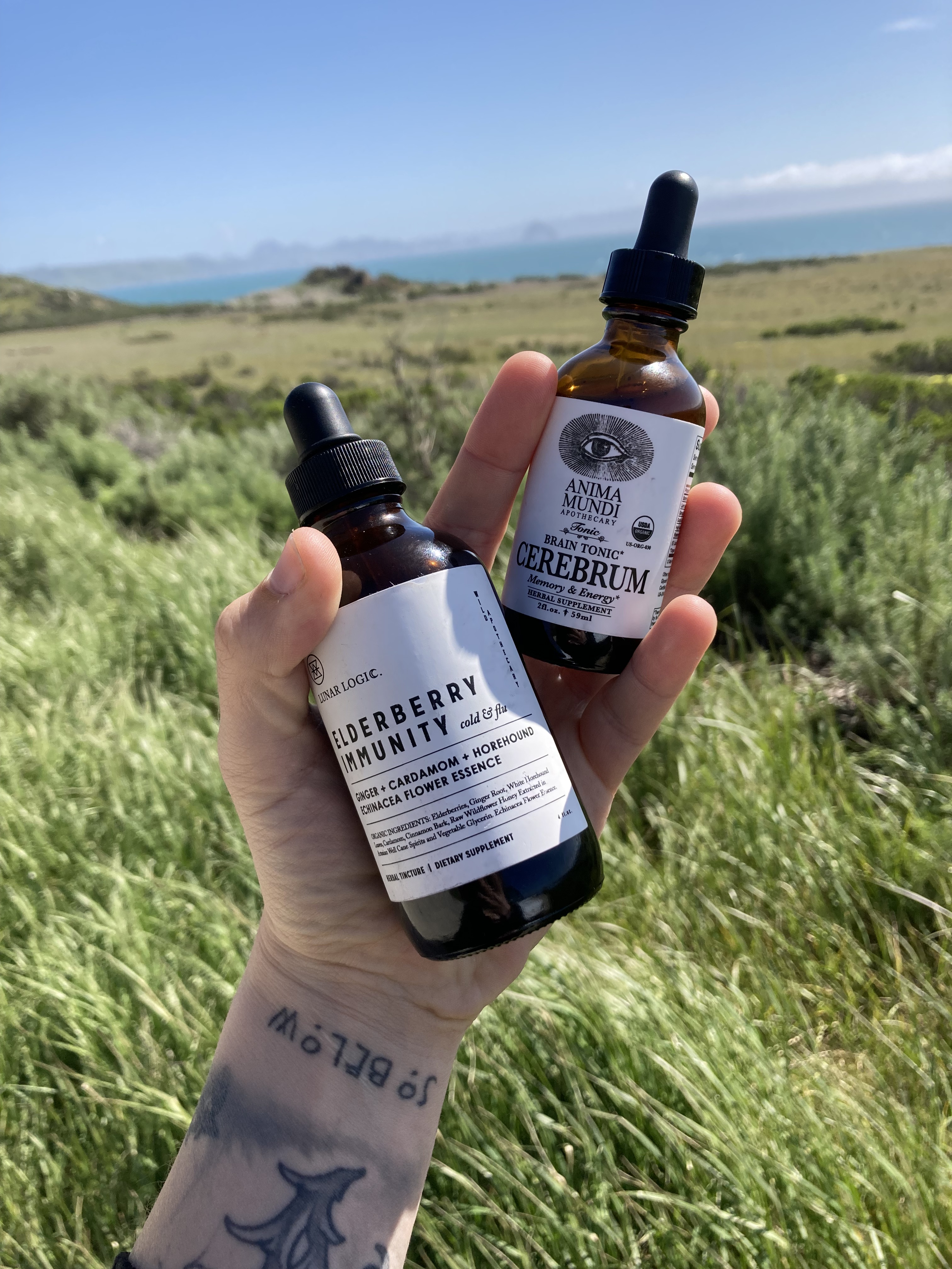
I found an overnight spot a little further north of Cambria and San Simeon, at Ragged Point, in a small dirt pullout above the ocean. There’s something really special about falling asleep and waking up to the sounds of the ocean.
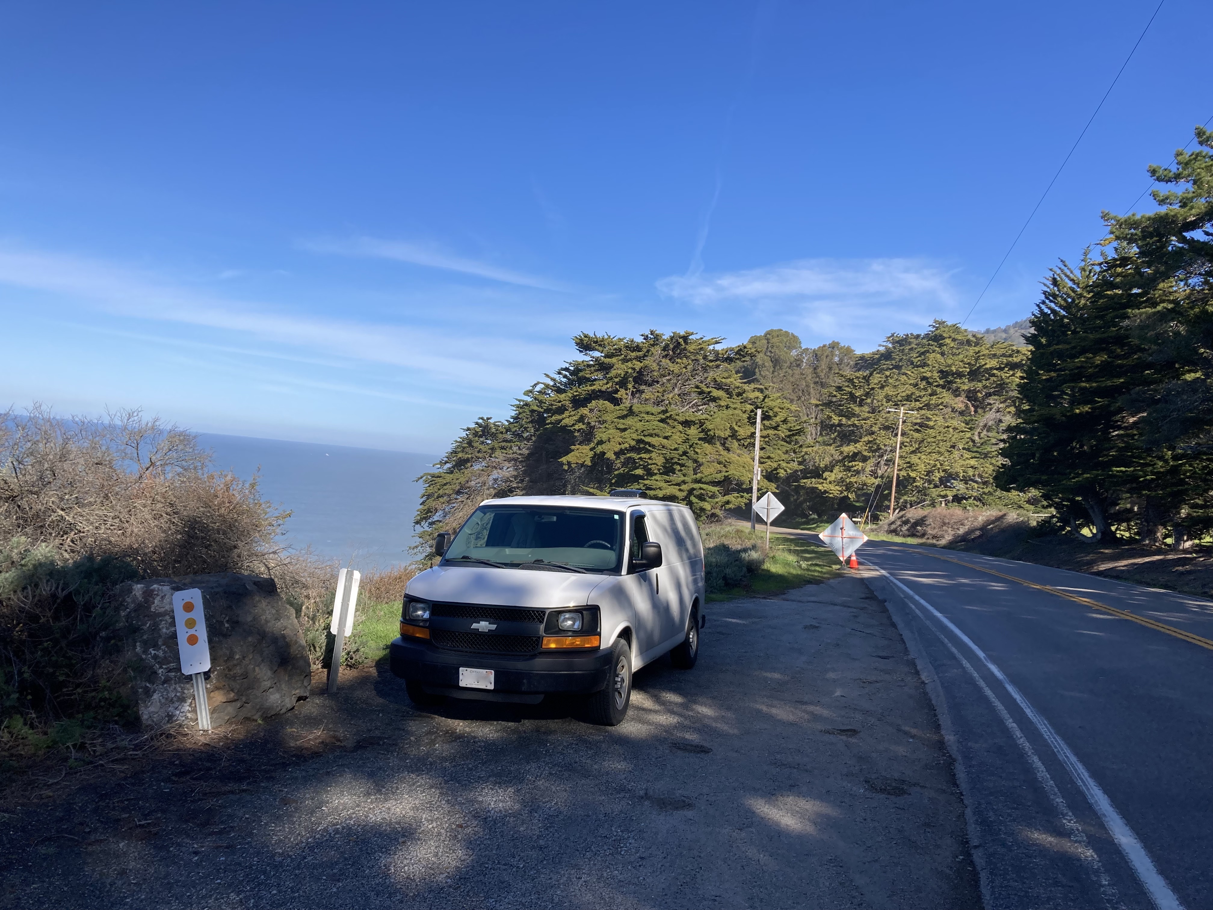
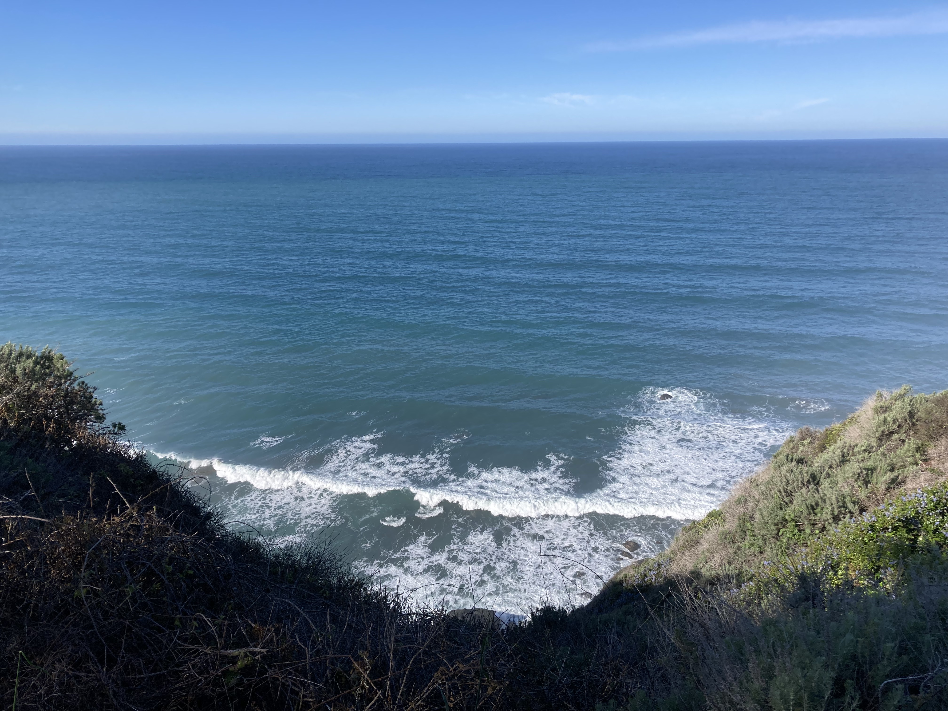
I went for a stroll at nearby San Carpoforo Creek Beach the next morning. This was actually where I’d heard that overnighting was a thing, but that didn’t pan out and I had to improvise.
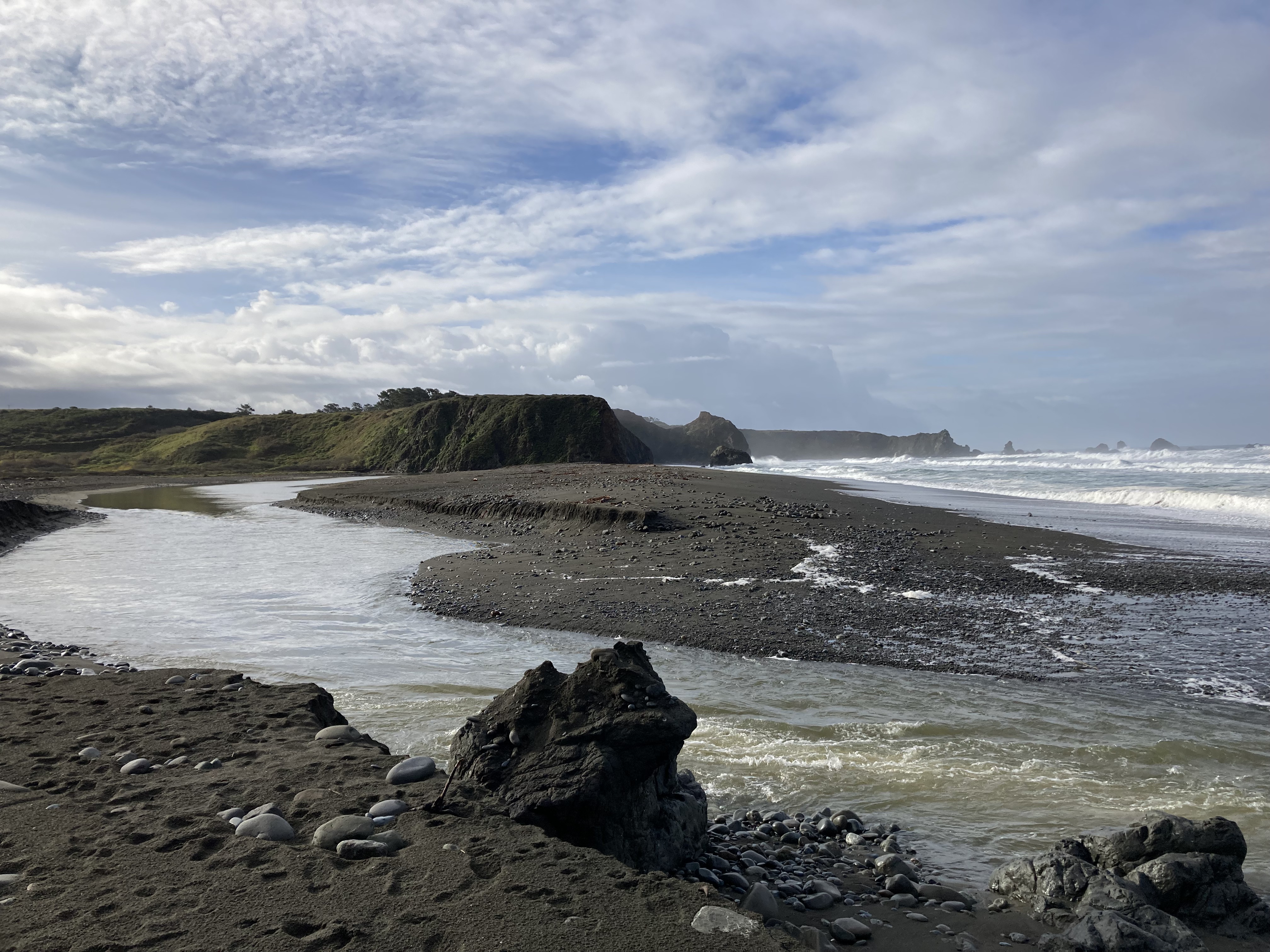
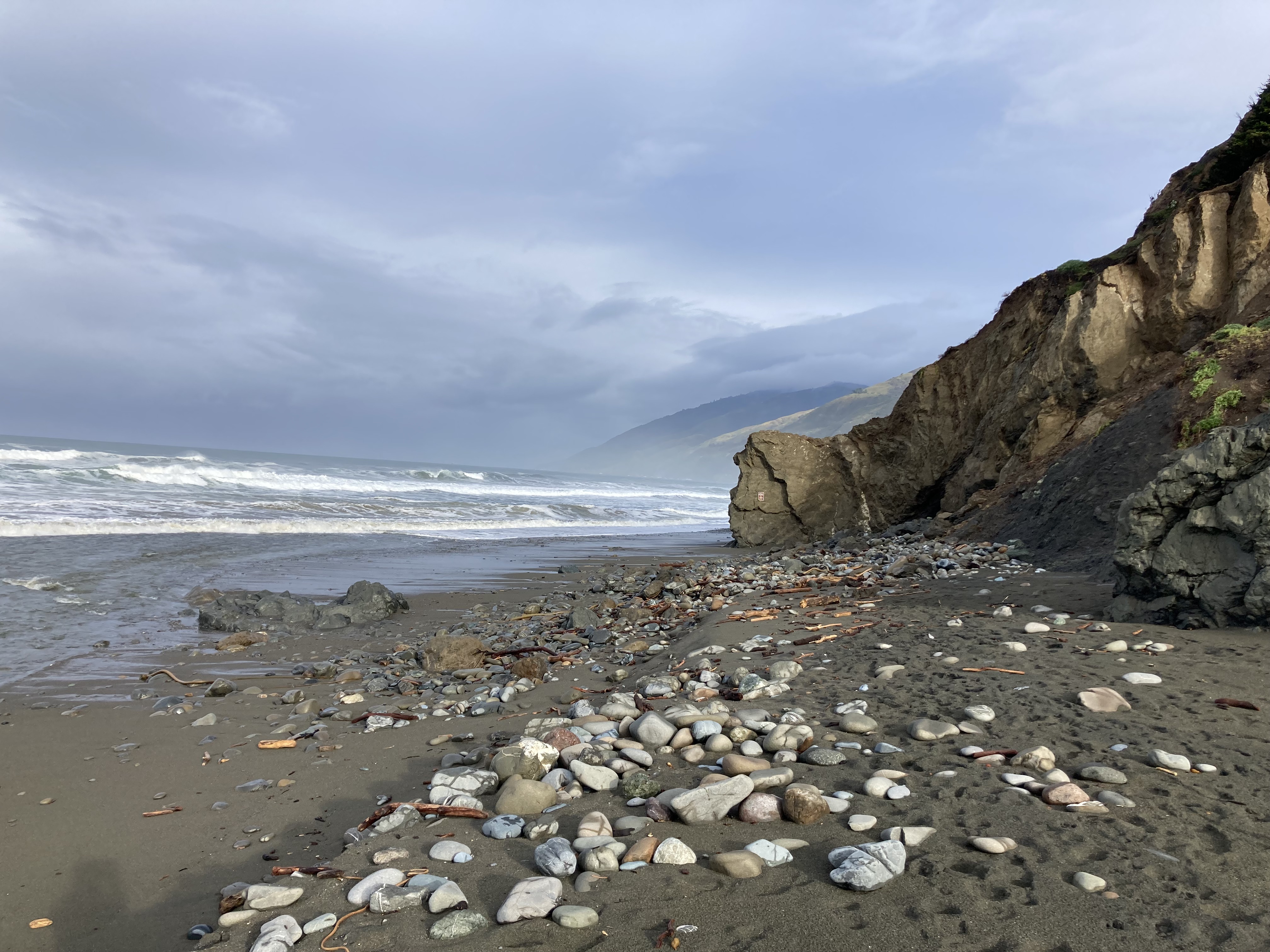
I paid a visit to Elephant Seal Vista Point, which is a stretch of beach where elephant seals come to mate and rest for a few months during the winter. If you’re lucky you might catch males sparring. And there were plenty of pups. You can see this at many stretches of beach along the coast, but they were plentiful here, and there were informational signs as well as volunteers present to answer questions or chat. It’s here that I gained a better understanding of these animals and that they’re not beached and dying, and you don’t want to get too close.
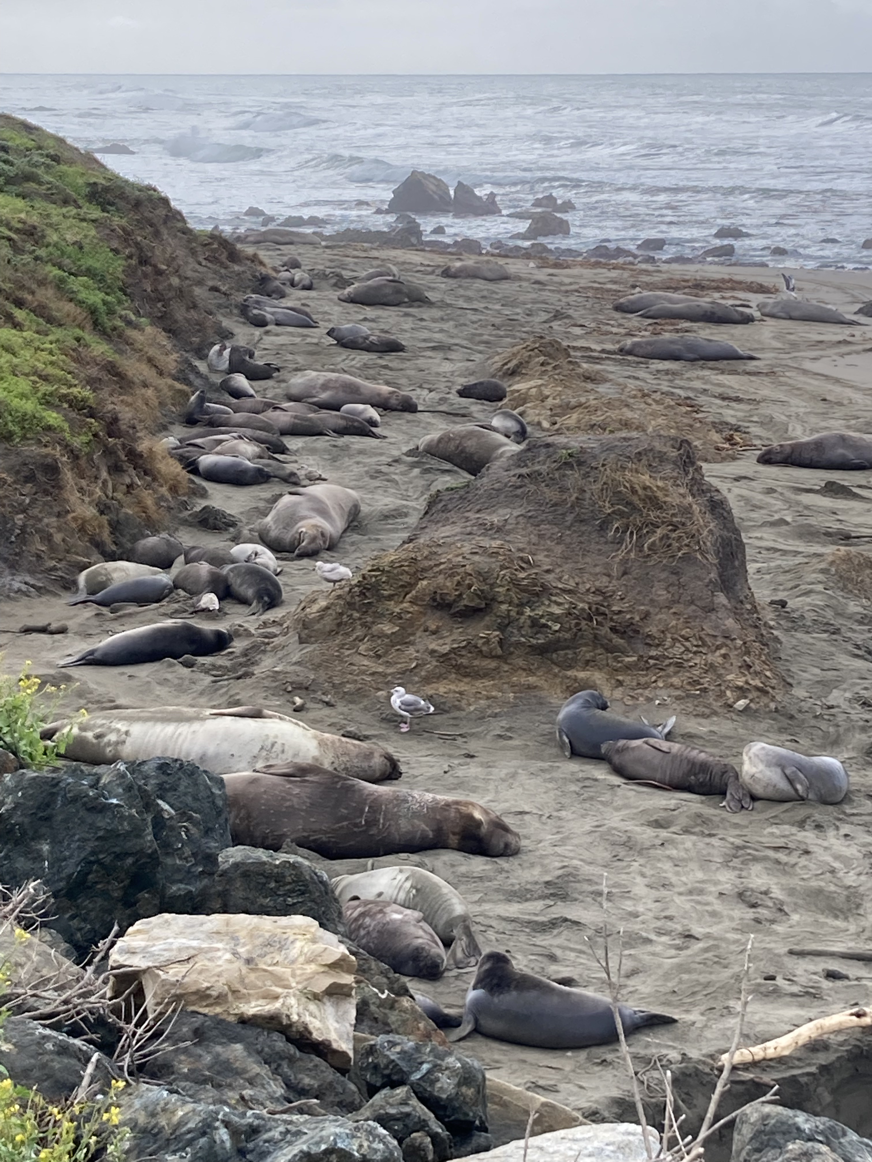
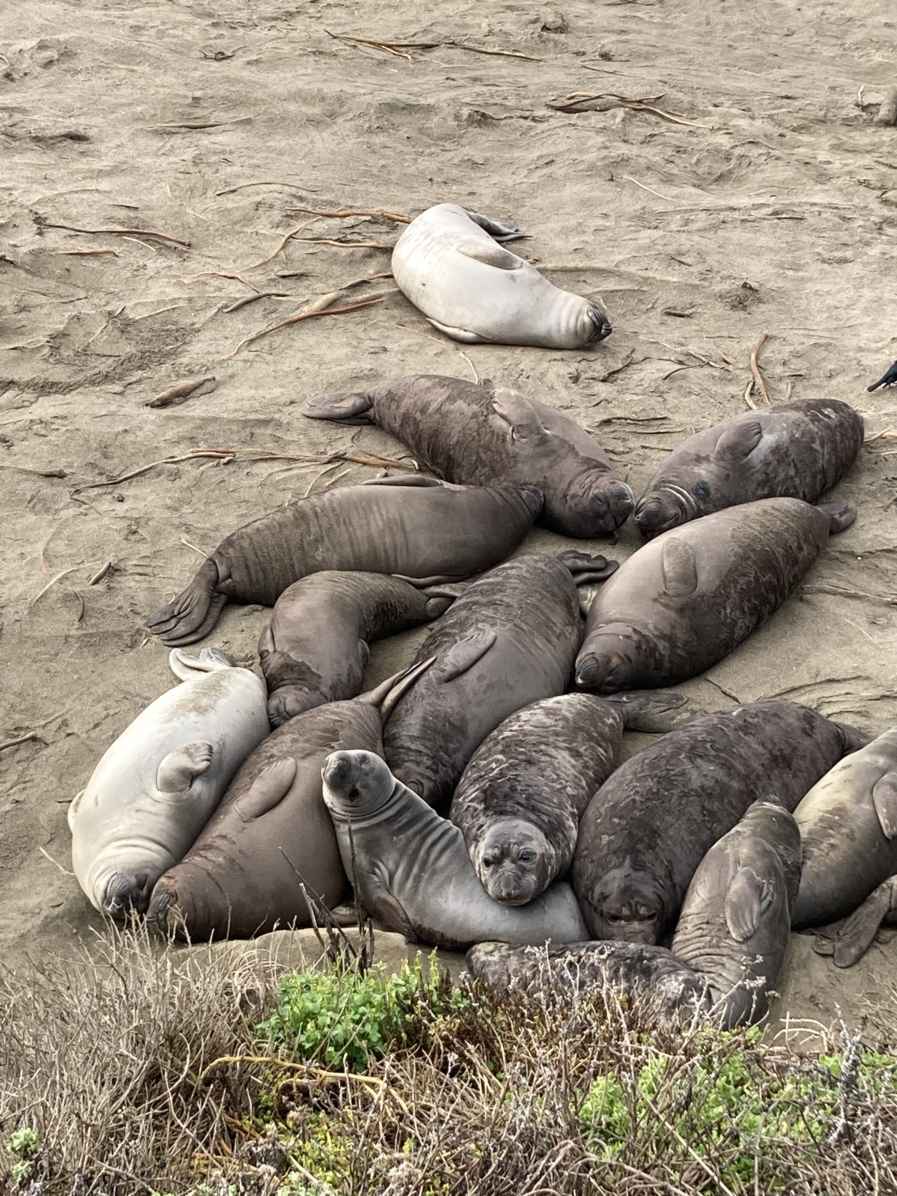
There was a collection of shops in Ragged Point – Ragged Point Inn, a coffee shop, gift shop, and little gas station with items worth exploring (like National Park candles). The owner of the gas station struck up a conversation with me, sharing that gas is cheaper in Morro Bay, Montecito is where a lot of celebrities live, Santa Barbara is a rich area, land slides are common on Big Sur, and definitely go to Yosemite.
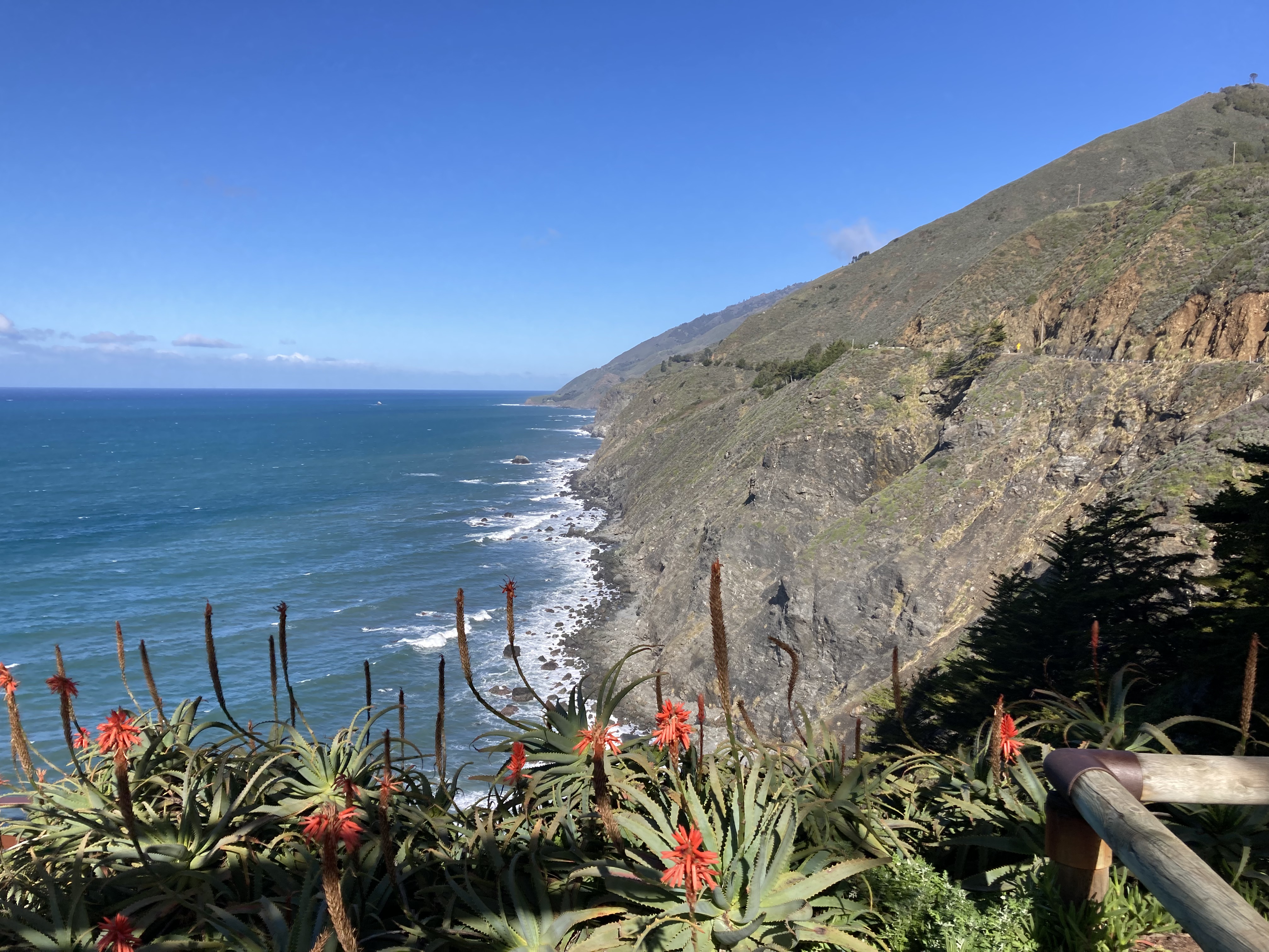
That afternoon I went to Hearst Castle. If you are in the area – definitely go here. It is absolutely amazing. Not only is it atop the area’s beautiful rolling hills – you are taken on a bus up through the vast property’s ranch land – but the architecture is immaculate and the castle is dripping with art.
The castle was owned by media mogul William Randolph Hearst. Along with architect Julia Morgan they designed and built the castle over a period of 28 years in the Renaissance style of southern Spain. Celebrities have stayed here, and Citizen Cane filmed here.
Somehow I lucked out, catching the last tour of the day, with nobody else having booked the same time slot – so I inadvertently got a private tour (which you usually pay more for).
I think this was easily the most stunning and beautiful castle I have ever visited and I would go back in a heartbeat.
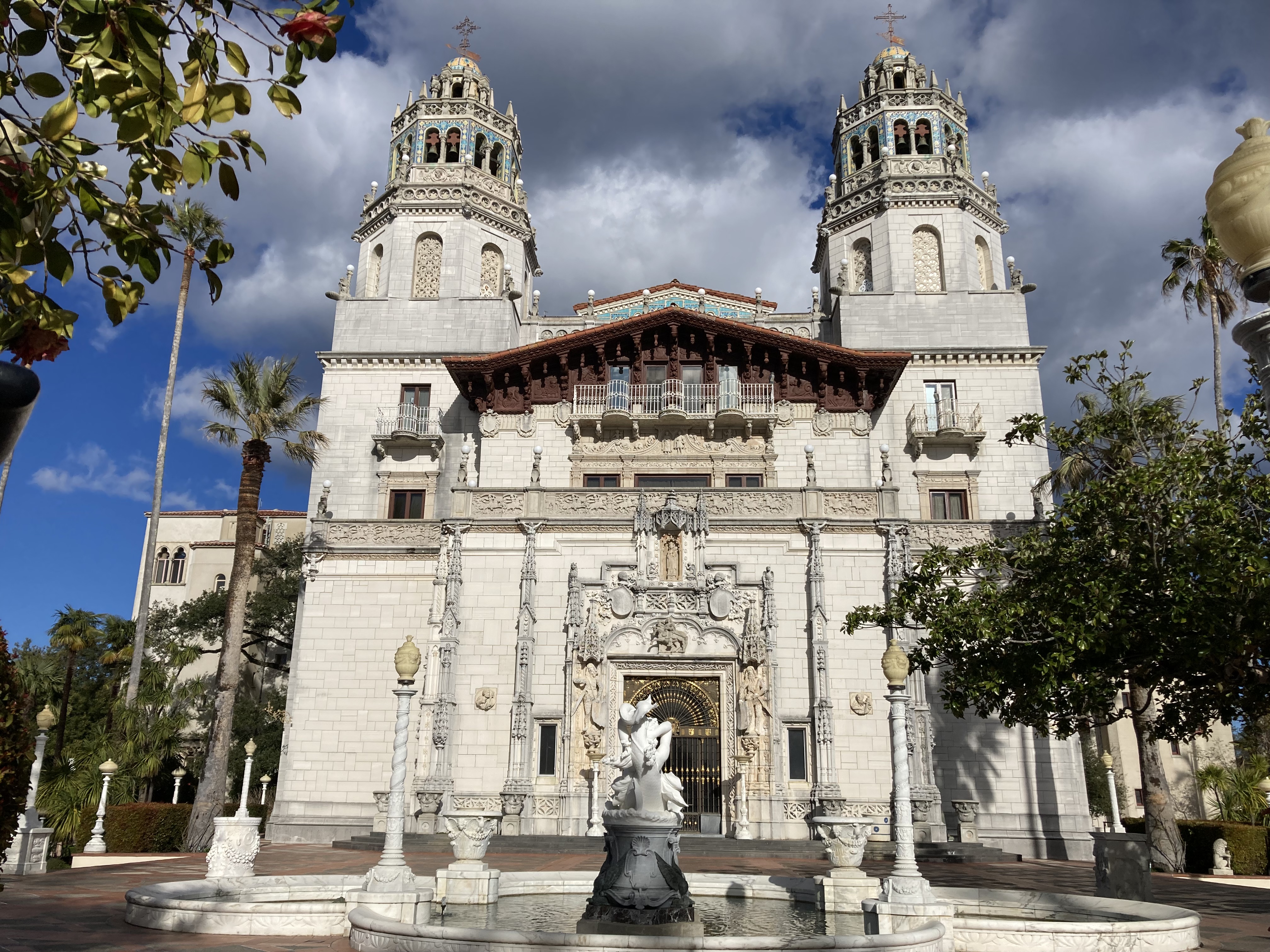
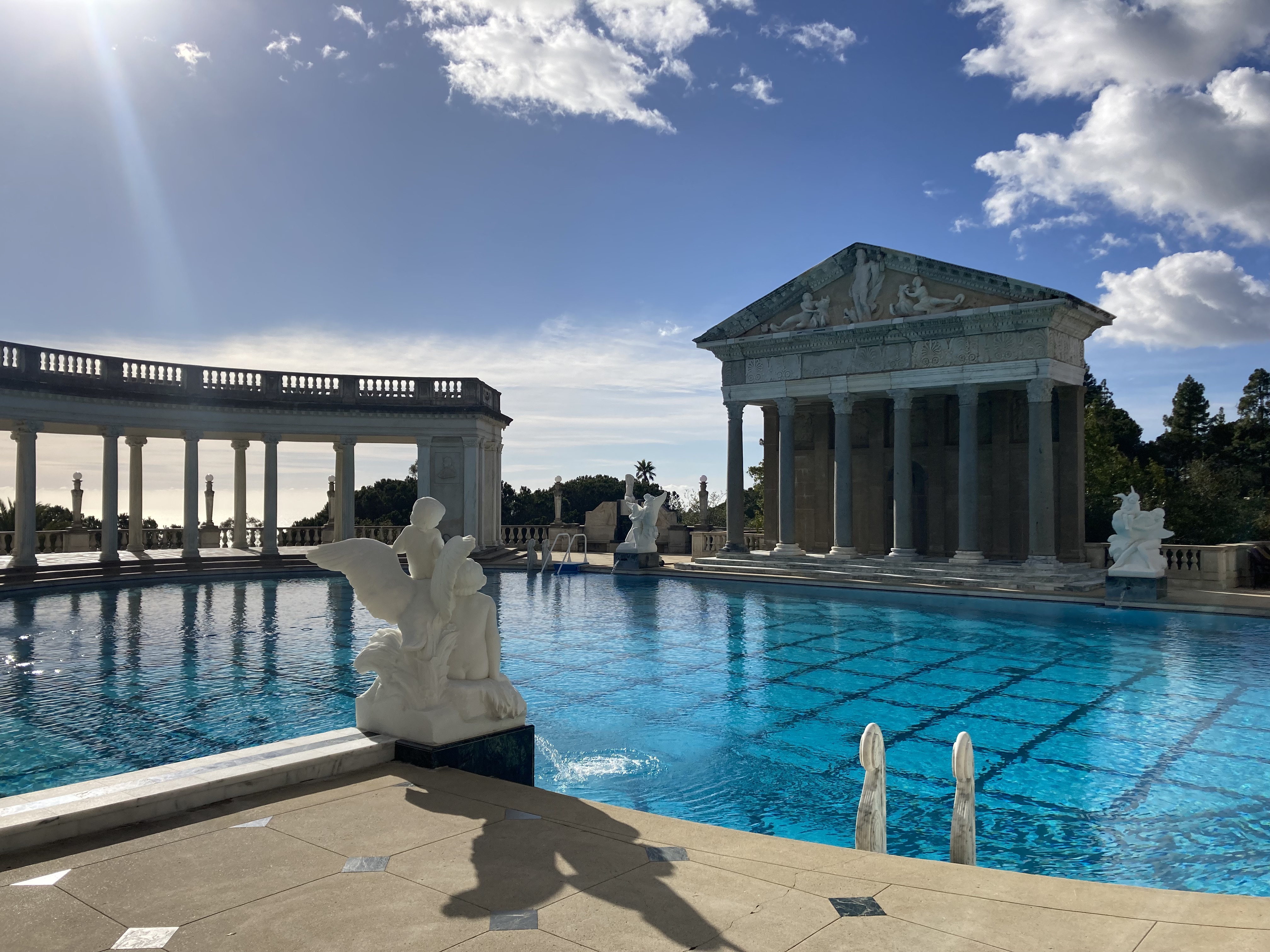
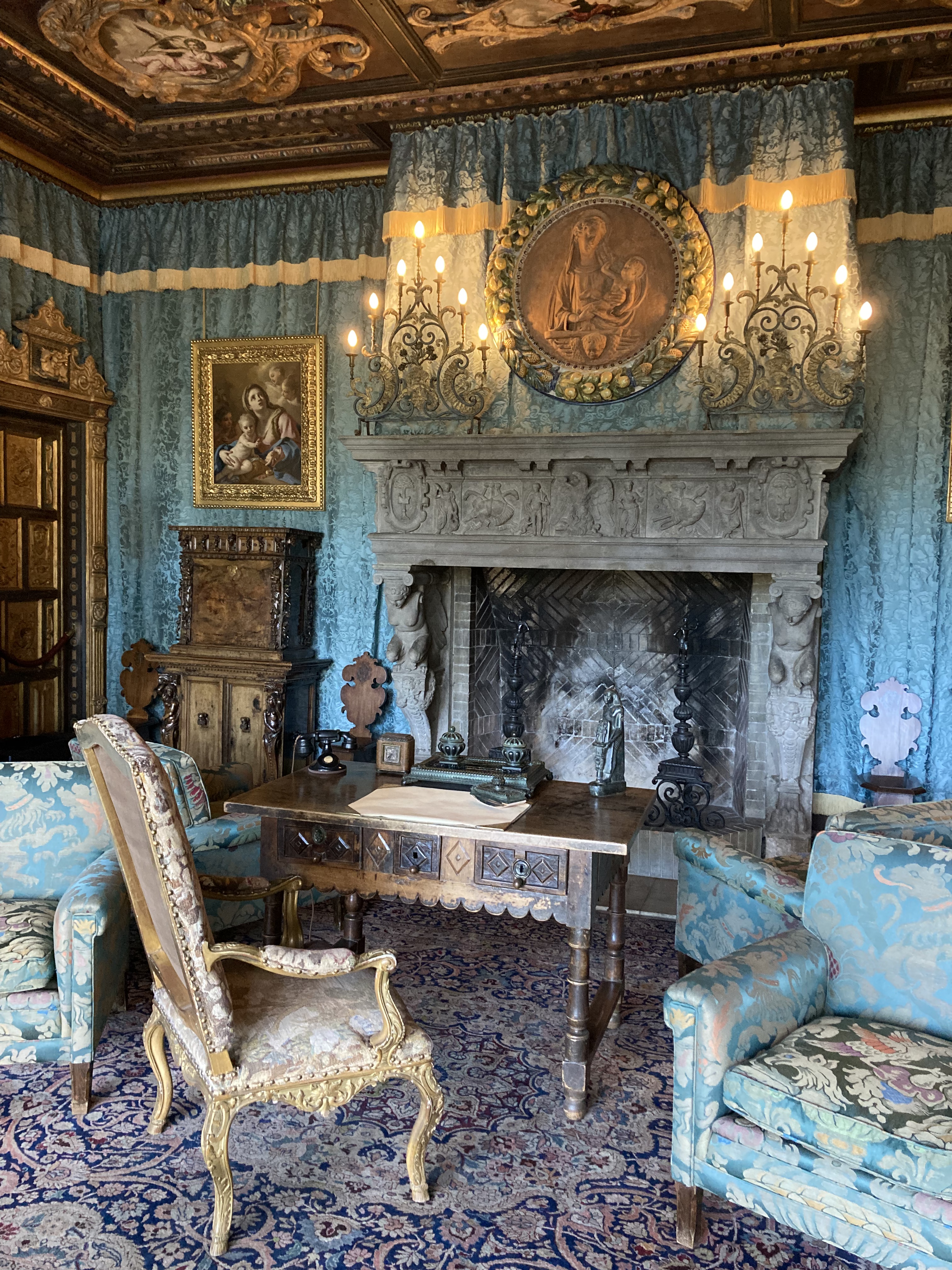
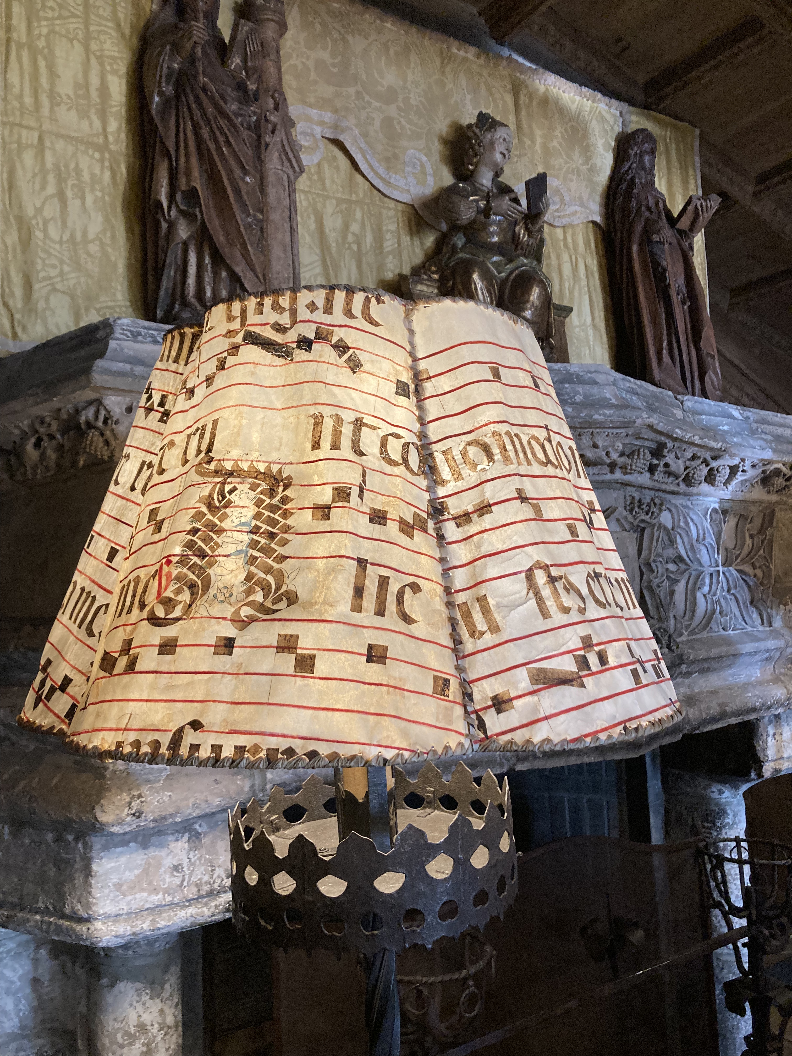
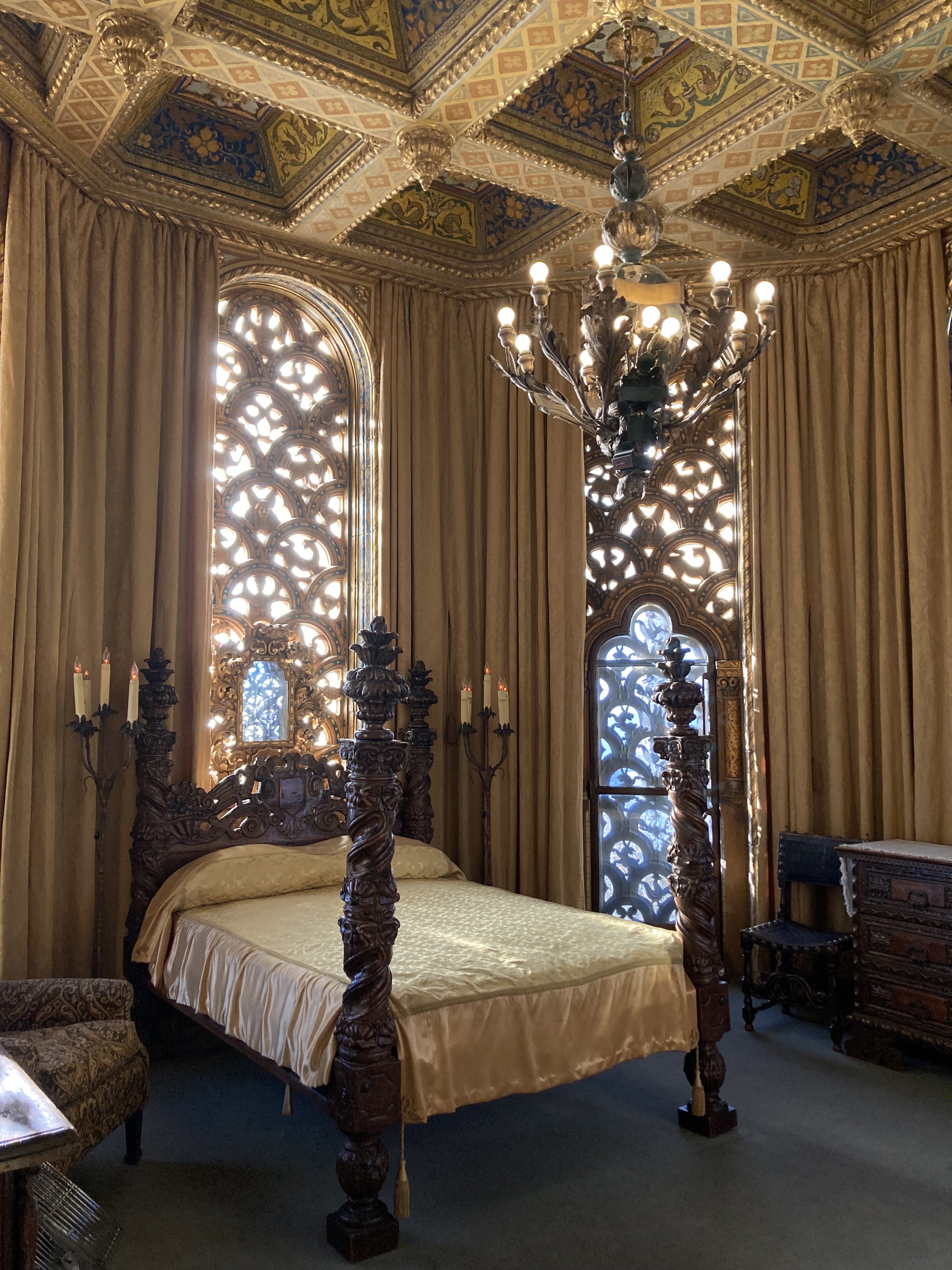
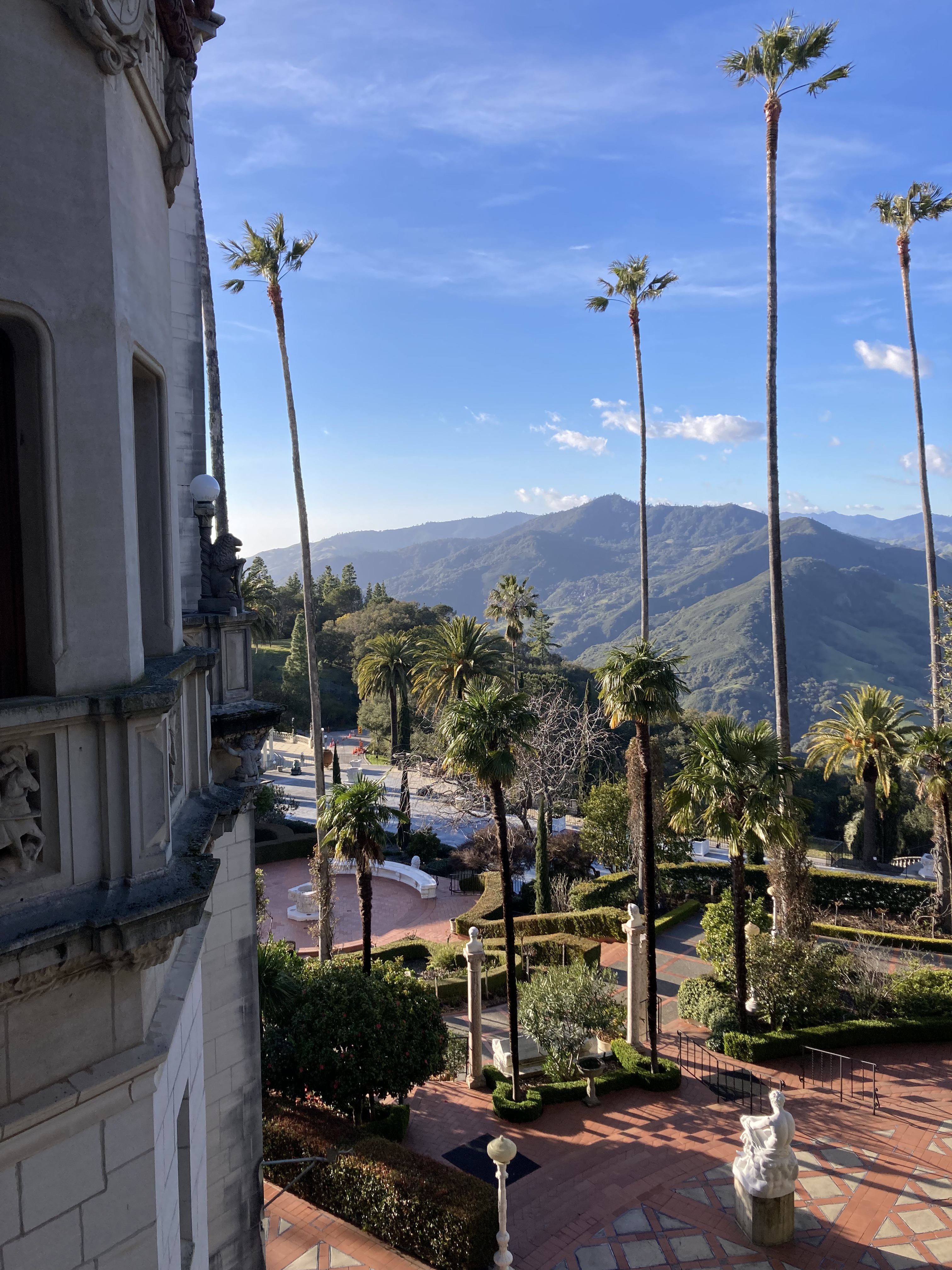
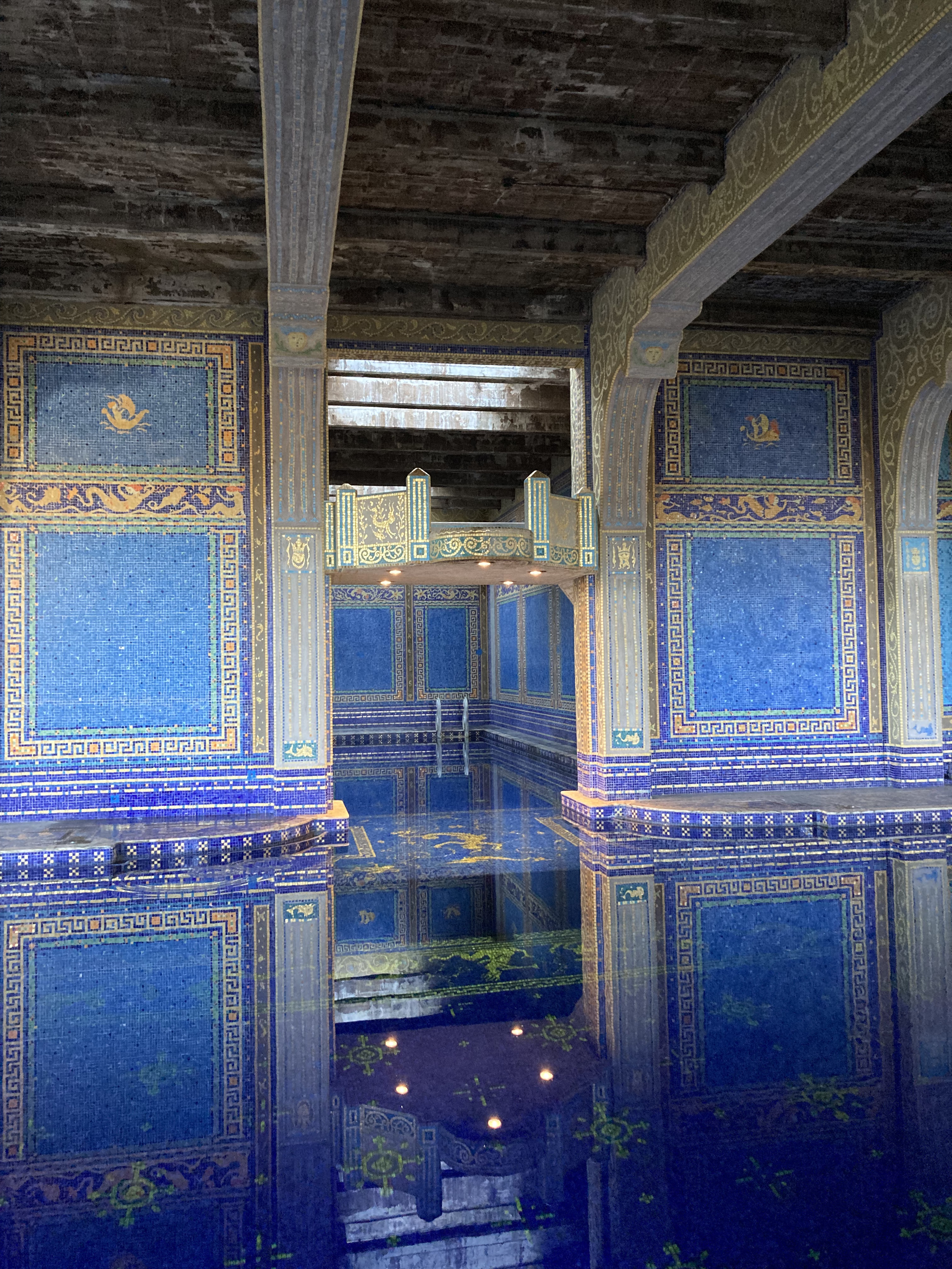
I ended this day by watching the sunset at San Simeon Pier/ William Randolph Hearst Memorial Beach. There was a wooden pier that I walked out on, watching the waves roll in from the unique vantage point of above. Watching waves roll never got old for me. Just like watching the sun set over the Pacific ocean never got old.
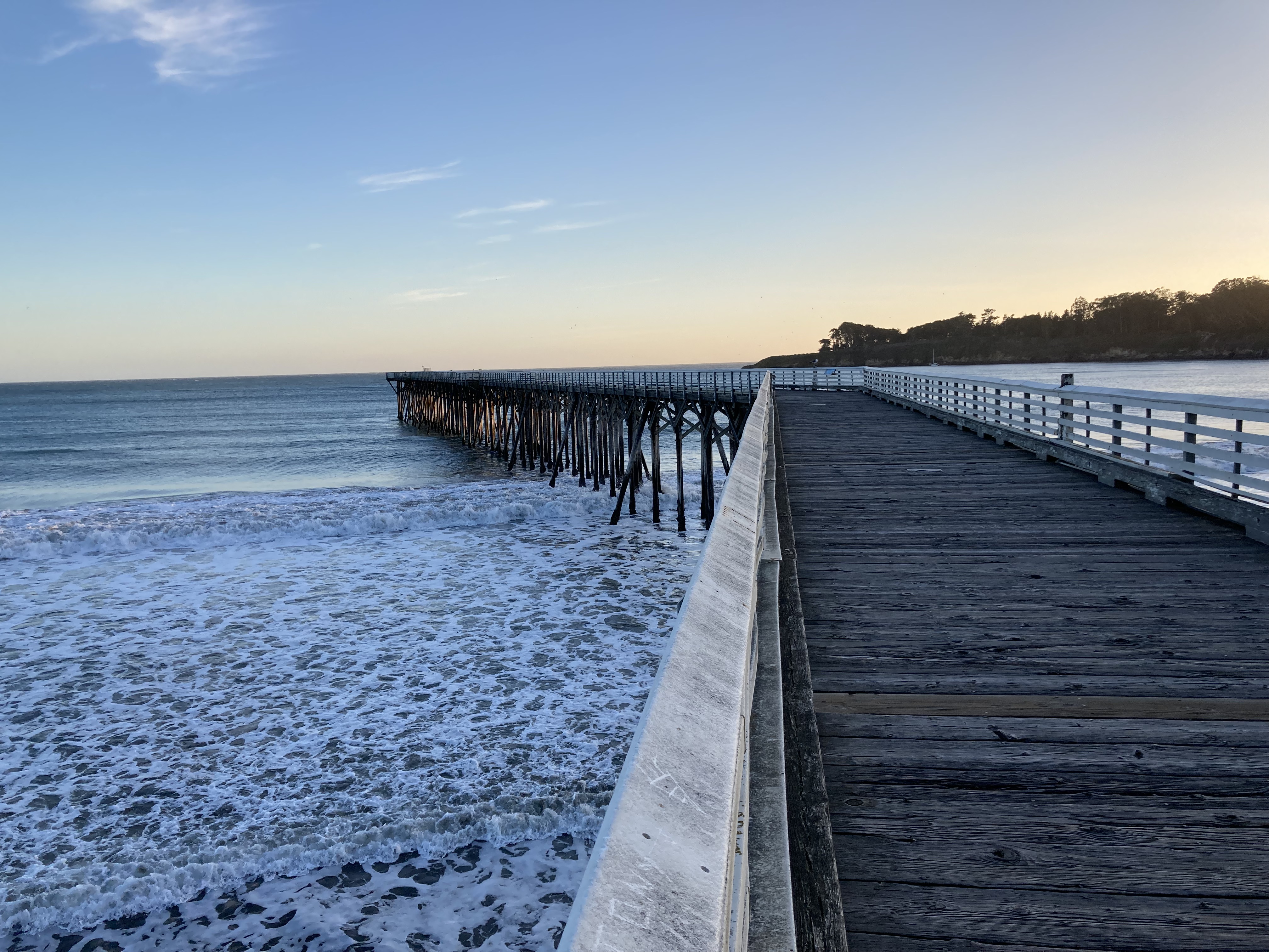
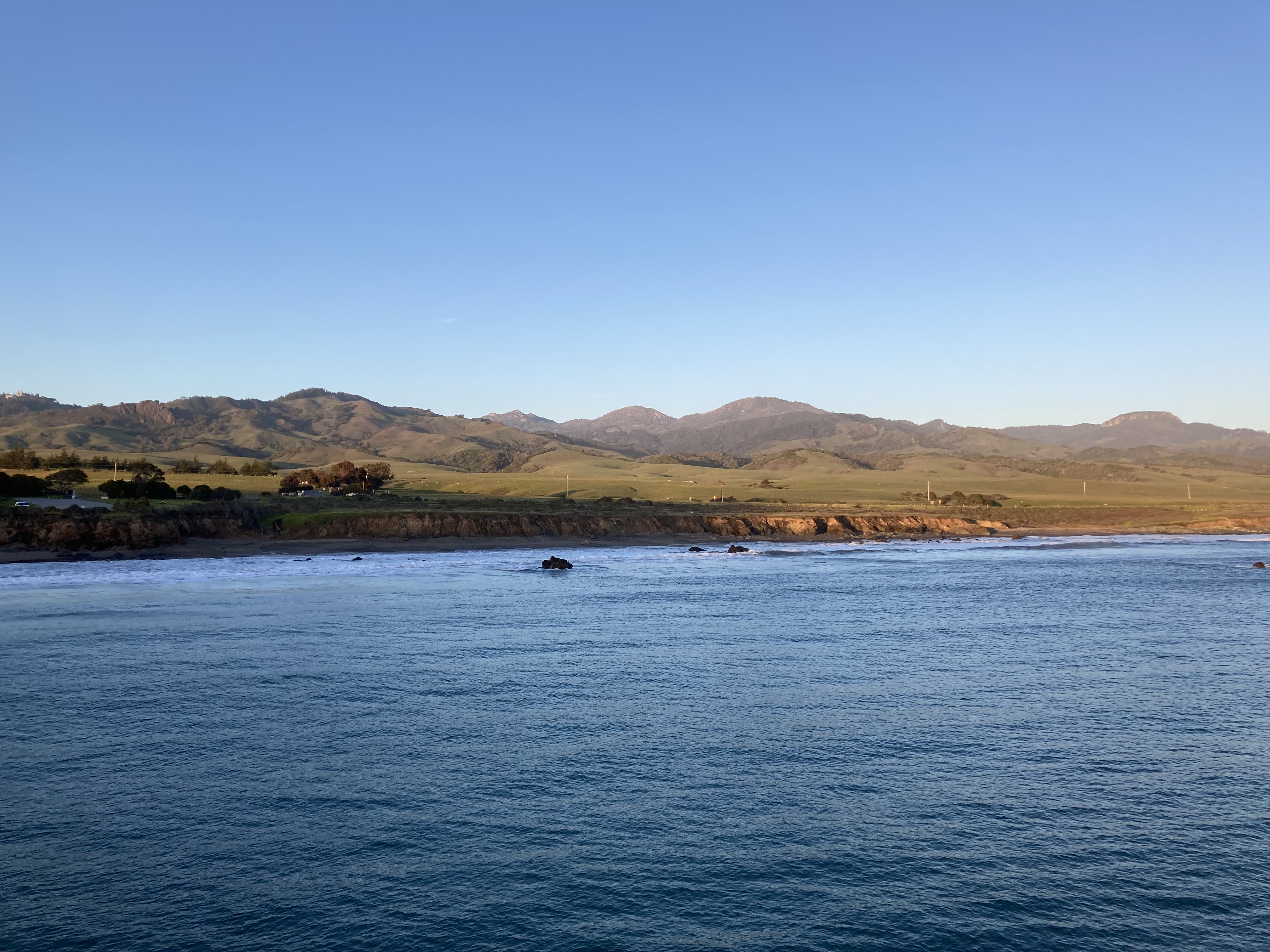
I had another spot where I was able to spend some downtime, do planning, walk along the coast, watch elephant seals, and watch sunsets. Just an unmarked dirt parking lot.
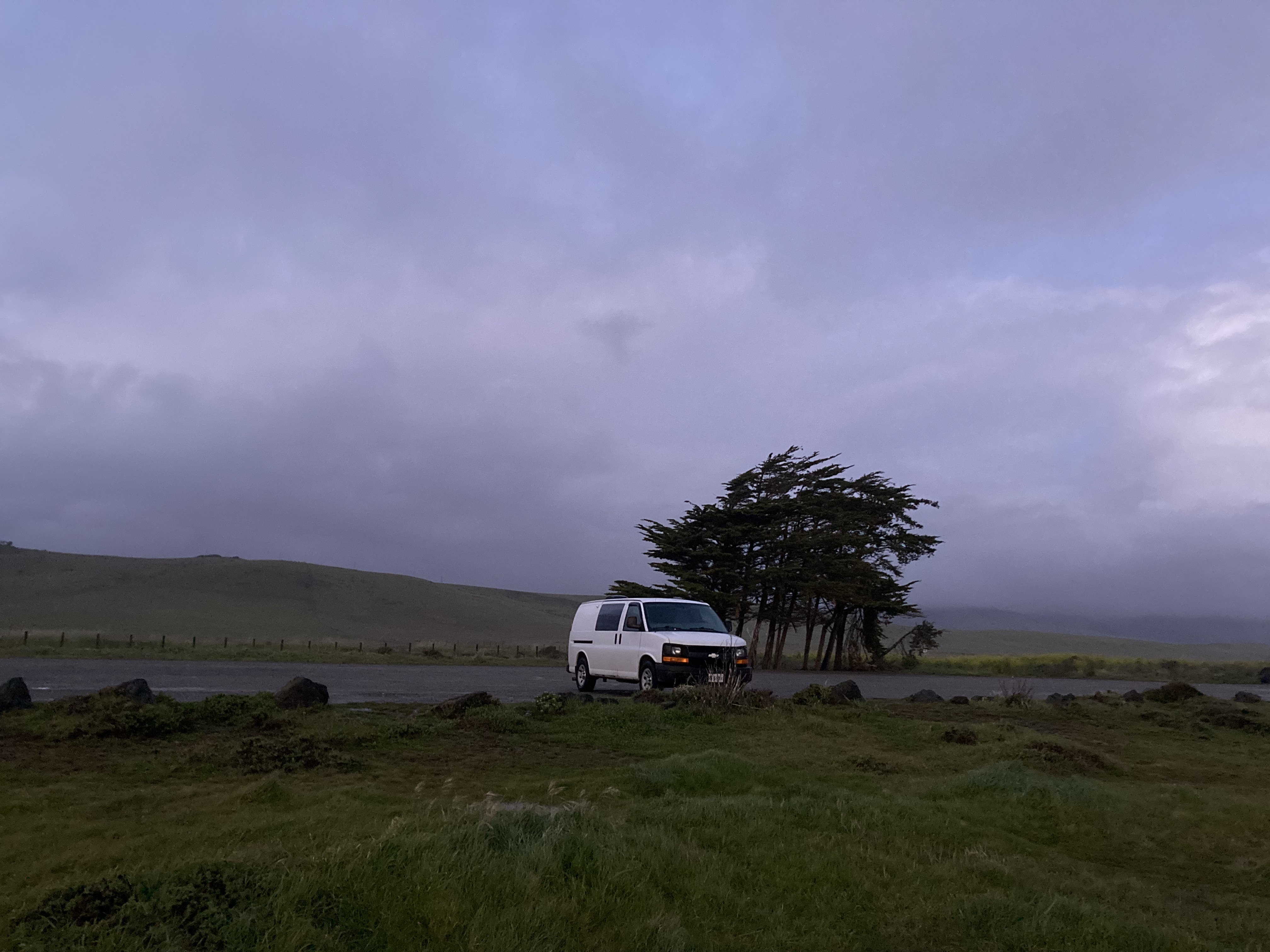
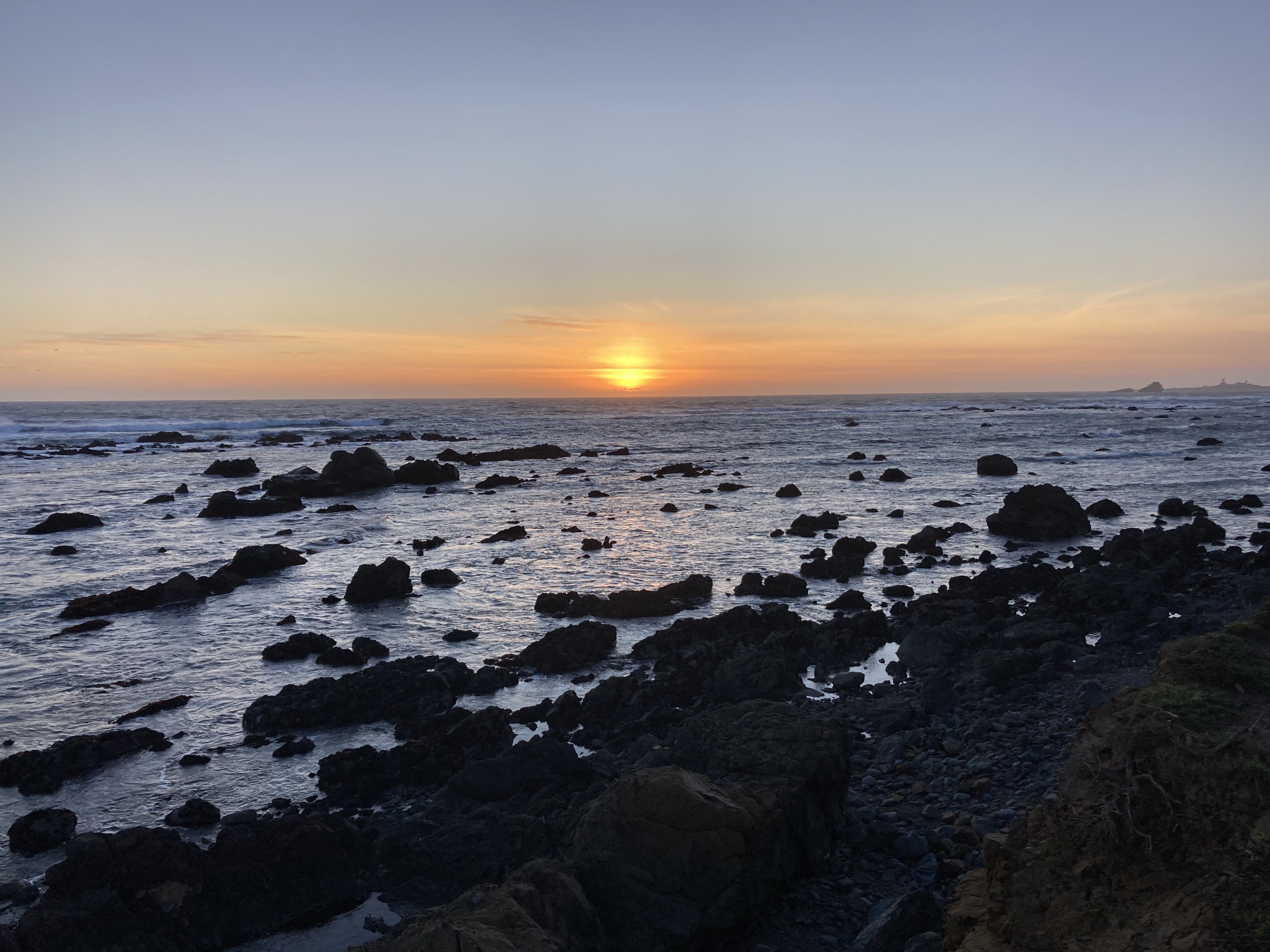
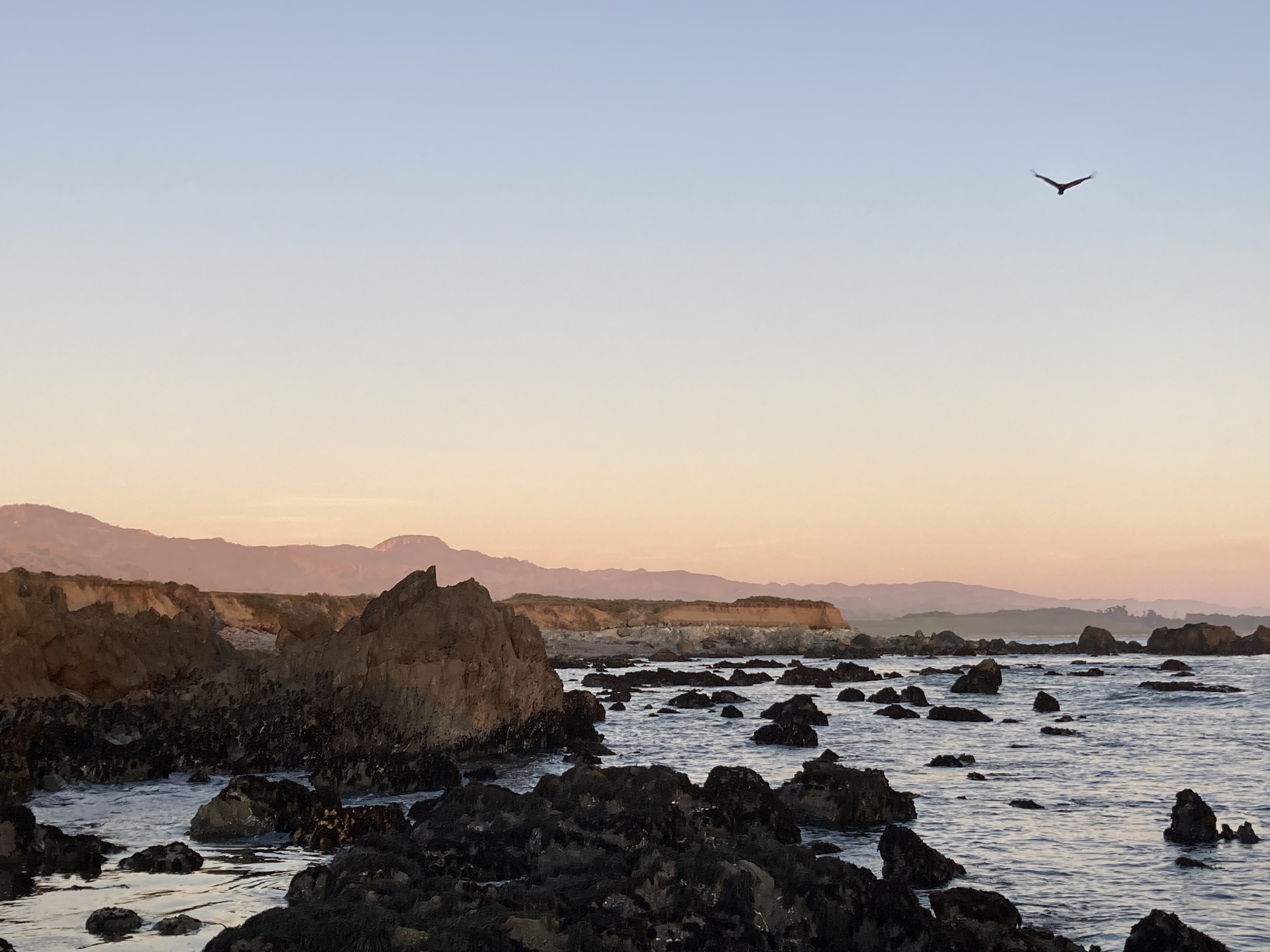
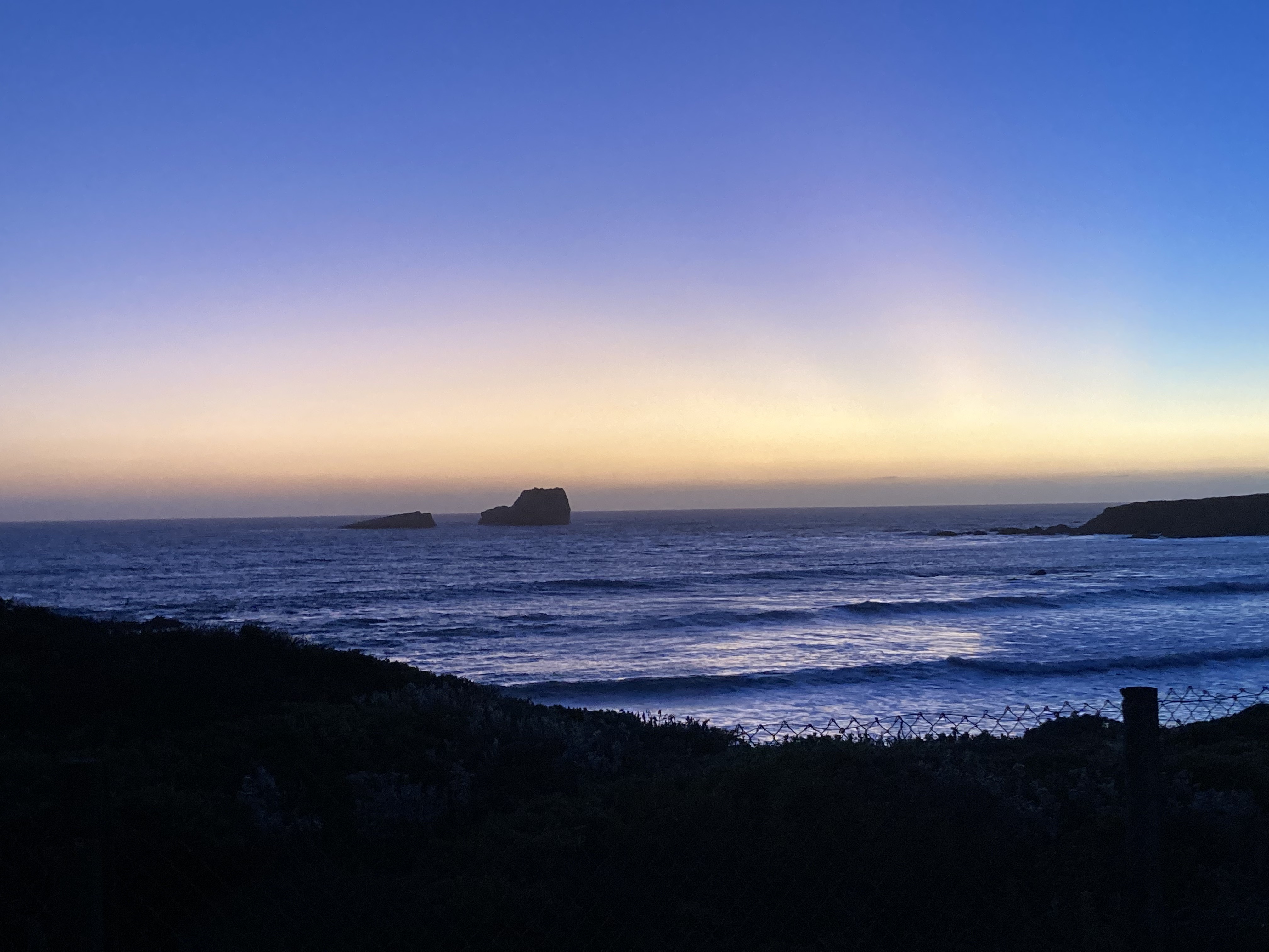
Route 46’s views and Hearst Castle are two standout experiences for me from my time in California. This area is teeming with beauty. In addition to the elephant seals I saw otters in the water, a group of Pelicans flew over me, and I woke up early one morning to wolves or coyotes howling. All of it was magical.
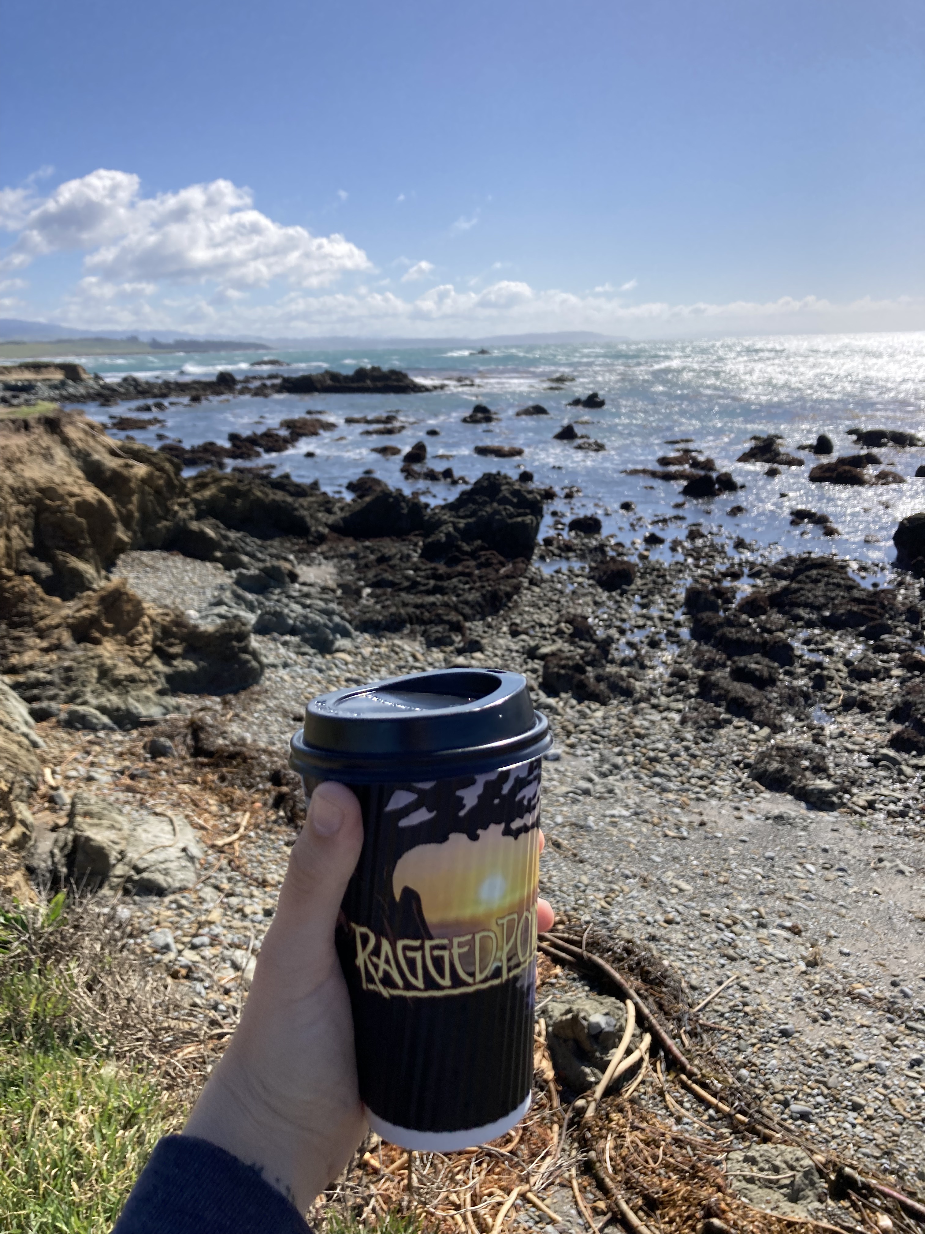
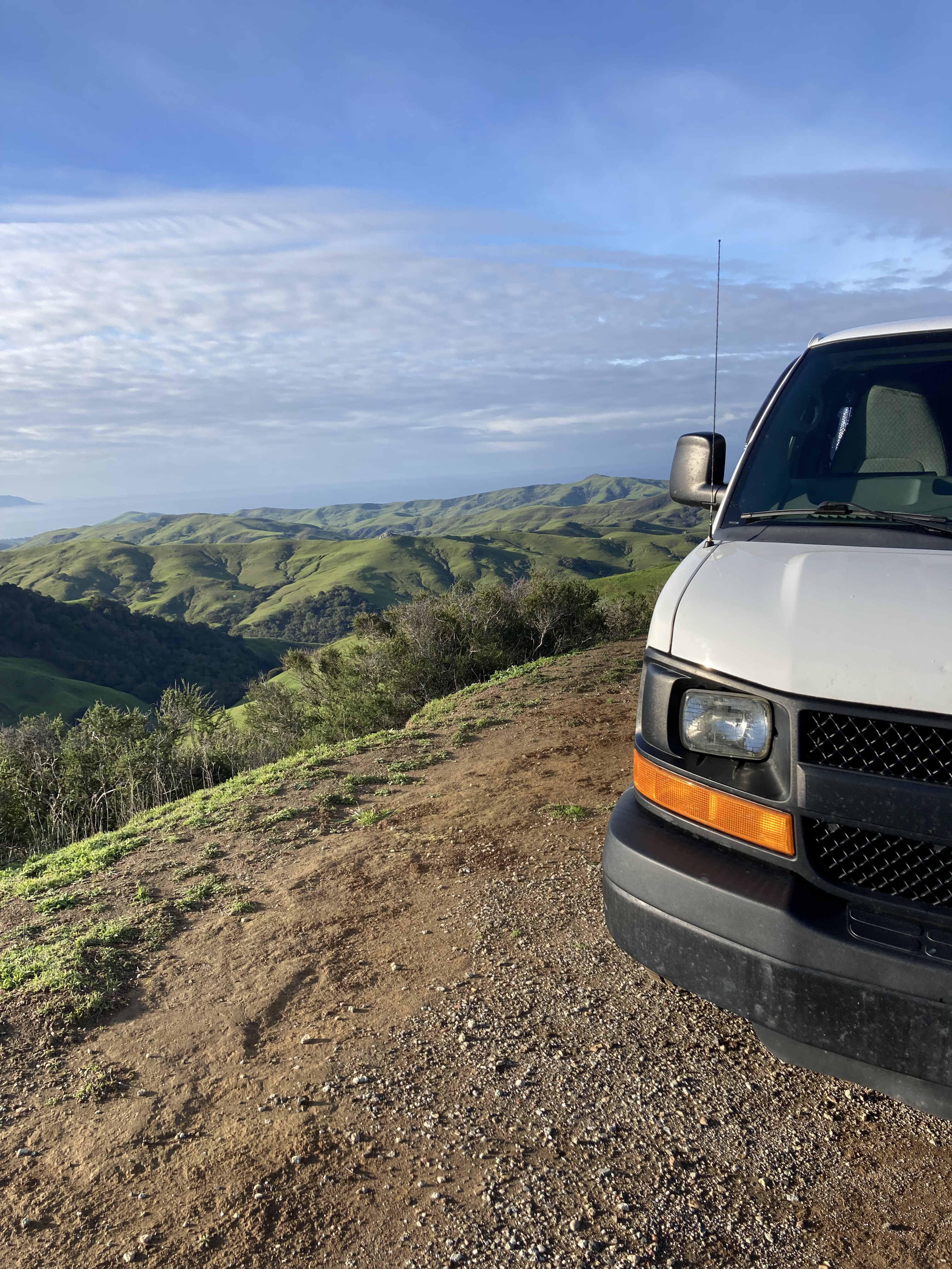
Homeless Encounters, Venomous Spiders, & Toxic Air Pollution
One day at the dirt parking area I frequented near Cambria and San Simeon a homeless man came up to the van and asked me for a ride to Orange County. As much as I felt for him, I wasn’t headed that way yet. But I also couldn’t take the risk of letting a stranger into the van. As a solo female on the road I had to consider worst case scenarios – which is that a person who is likely desperate for things they don’t have could easily take what they wanted when given access. Losing my transport and home on the road would leave me stranded in another country. Though that’s not the worst a man could do to me. I felt for this person. Arguably, he could have been a good person who wouldn’t have done anything to me or tried to take anything from me. But the world isn’t always (or often) that fair or innocent, as much as we may want to believe it.
I told him I wasn’t headed in the direction he was going. He asked me for some water (which was the least I could do), so I grabbed a bottle of water from the back of the van (and made sure the van doors were locked when I did). I hate the thought of how I might have made him feel. I hate that he probably gets treated poorly by others. I hate that I couldn’t help him more. But I do believe I made the only choice I could. I felt a little on edge as I watched him leave, but I didn’t see him again.
Another interesting saga that began in this area was finding a spider in the van. Now, if I’m in Canada, I don’t really bat an eye at spiders. Sure, we can have the brown recluse or black widow in some areas, but I’ve never seen either. I knew that California had more venomous spiders, especially as I was getting further south. So I thought – let’s try to identify this bugger. I’m no spider expert, so I was never going to positively identify this guy with 100% certainty. But I looked up lists of the venomous spiders that can be found in California – and one of them did look pretty similar to the spider I’d seen in my van. He was a fast little guy, and I’d only seen him once, at night, when I’d gotten up to pee. I learned that spiders tend to come out at night, and can be attracted to light… I had to accept that there were a bazillion little nooks and crannies where he could hide in the van and I might never find him. Until three weeks later, while I was lying down watching a show after dinner. I usually keep the lights low after I arrive at my overnight spots, so that cars that go by won’t see a light coming from my windows. I have a little lamp, and I spotted the spider crawling down the wooden wall of my van right next to me near the lamp! I was ready with a container, caught him, and let him out, far from the van. What a relief! In all likelihood, he wasn’t the kind of spider that could hurt me with its venom. Either way, I co-habitated with a spider for three weeks.
The third notable thing from this area was the air pollution that made me feel ill. For maybe a week I’d been feeling unwell. Symptoms included brain fog, nausea, fatigue, headache, aggravated throat and nostrils, pressure in my eyes. I’d noticed the air blowing from the AC/ Heat vents smelled musty in the mornings, and I had assumed it could be a mold problem. It seemed like my symptoms were worse while driving/ the air was blowing in at me. Then, after a week of this, the symptoms started to subside, which seemed to coincide with a change of location. Mold doesn’t just magically go away. Then I remembered a weather bulletin I’d seen on air quality – about sulfur dioxide. It said that healthy people likely wouldn’t be affected, so I didn’t think much of it. But being in a van – I have no shelter or break from breathing in whatever is in the atmosphere. Imagine travelling here when there were forest fires! I had also noticed a reddish brown dust on my windshield one day – while sulfur dioxide is colourless, nitrogen dioxide, another air pollutant, is reddish brown… so I concluded that air pollutants (poisons) were adversely affecting my health. It was kind of a relief to be honest that the cause was not coming from inside the van.
Morro Bay / Morro Rock
Having gotten my first view of Morro Rock from the elevation on Route 46, I knew I had to visit this landmark. Morro Bay is a small city of about 11,000, known for Morro Rock, an ancient volcanic mound. Morro Bay State Park encompasses the rock, a long beach, lagoon, and bay habitat. I saw otters playfully twisting around in the water when I visited. But the highlight for me was watching the sunset over the ocean, beside Morro Rock.
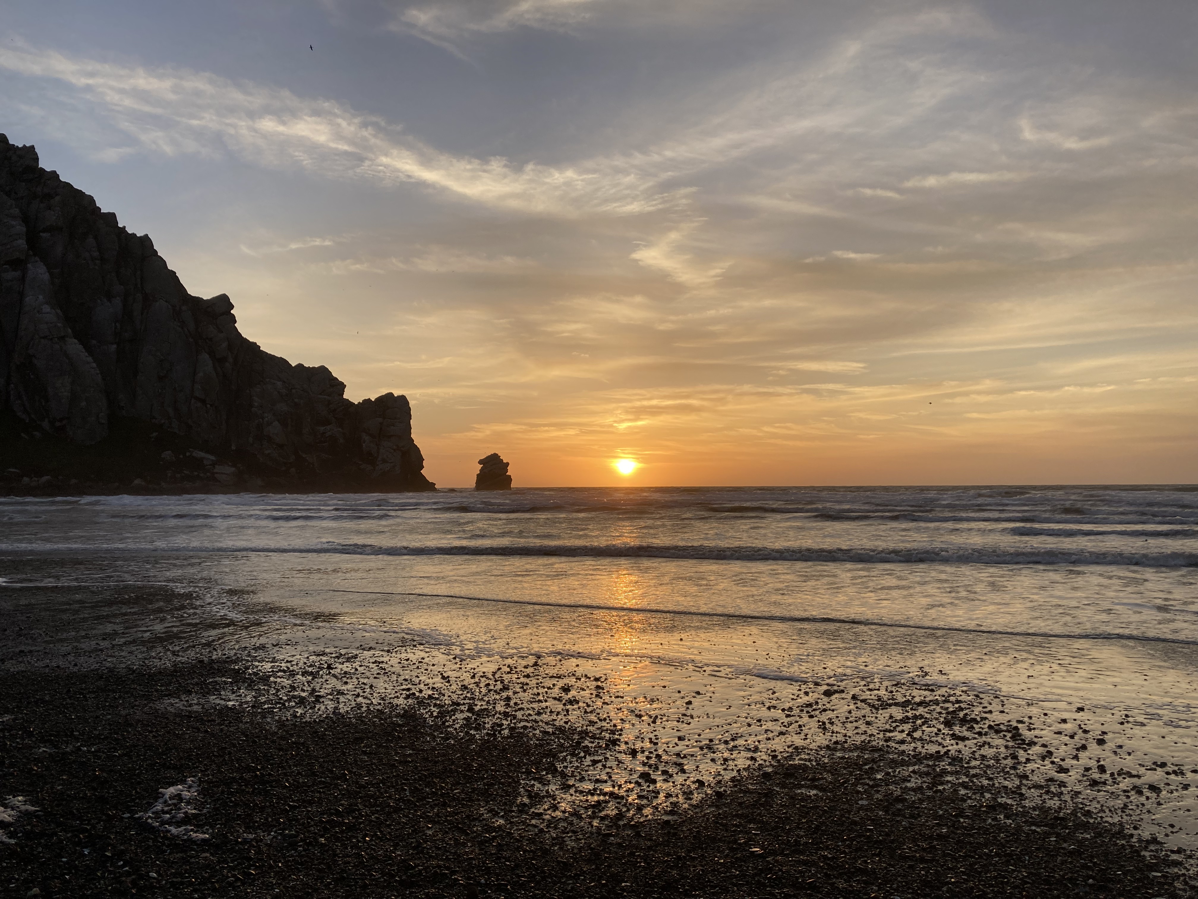
A couple of cool signs from the area:
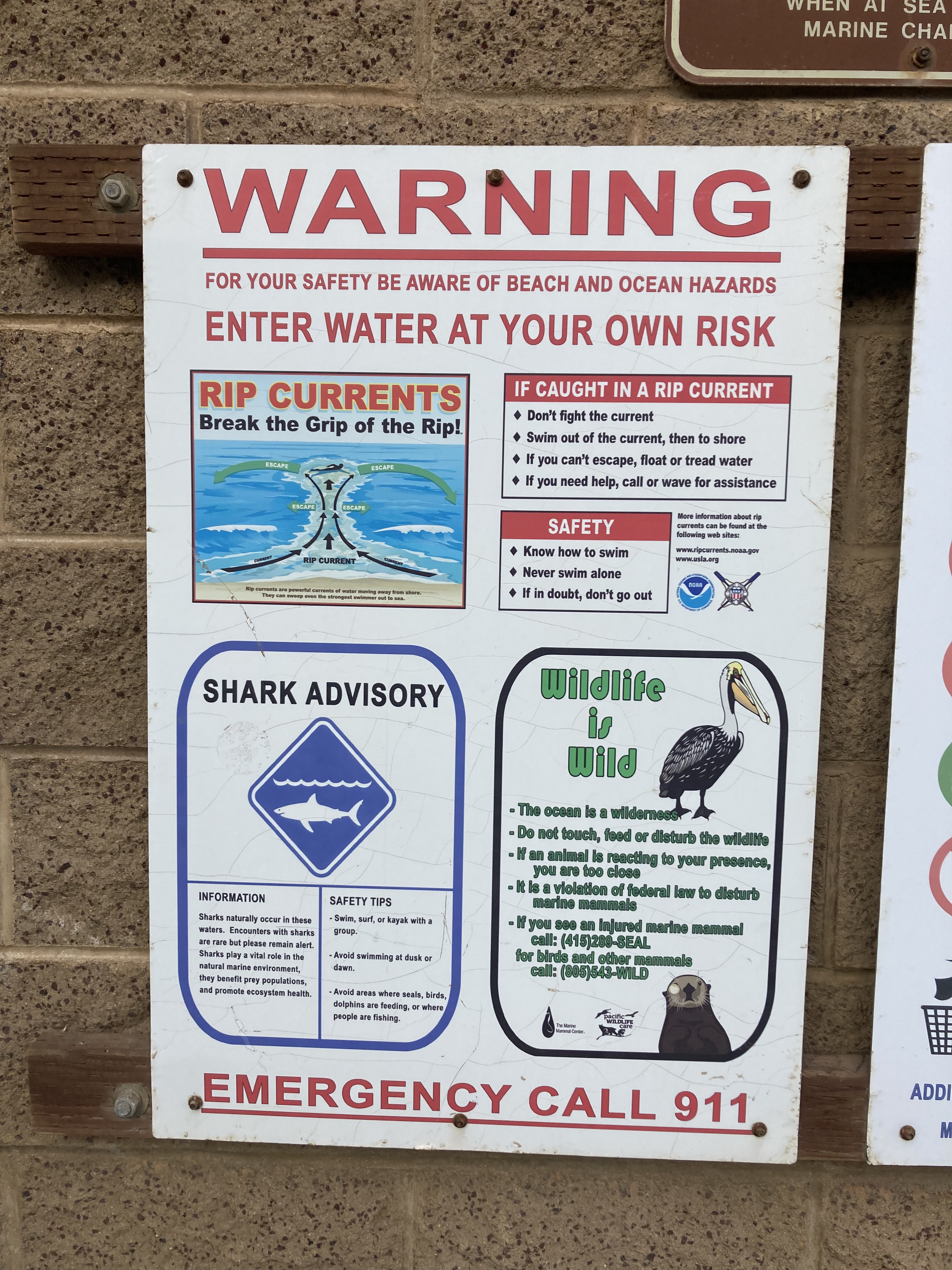
The way I remember it, there were city ordinances that did not allow you to sleep in your vehicle on public streets in Morro Bay. But reading back a screenshot from my time in the area this actually applies to all of San Luis Obispo County. Either way, I did not sleep in Morro Bay. It’s always good to check out local bylaws though.
A couple of spots that I stopped into surrounding Morro Bay were Estero Bluffs State Park (just north of Morro Bay, mostly a convenient place to park, some cools bluffs to take in) and a viewing area for Monarch Butterflies a little to the south in Los Osos. There are various sanctuaries where you can witness Monarchs during the migrations, especially from October to March, in this area. Unfortunately, there were no Monarchs when I was here. But it was worth a shot.
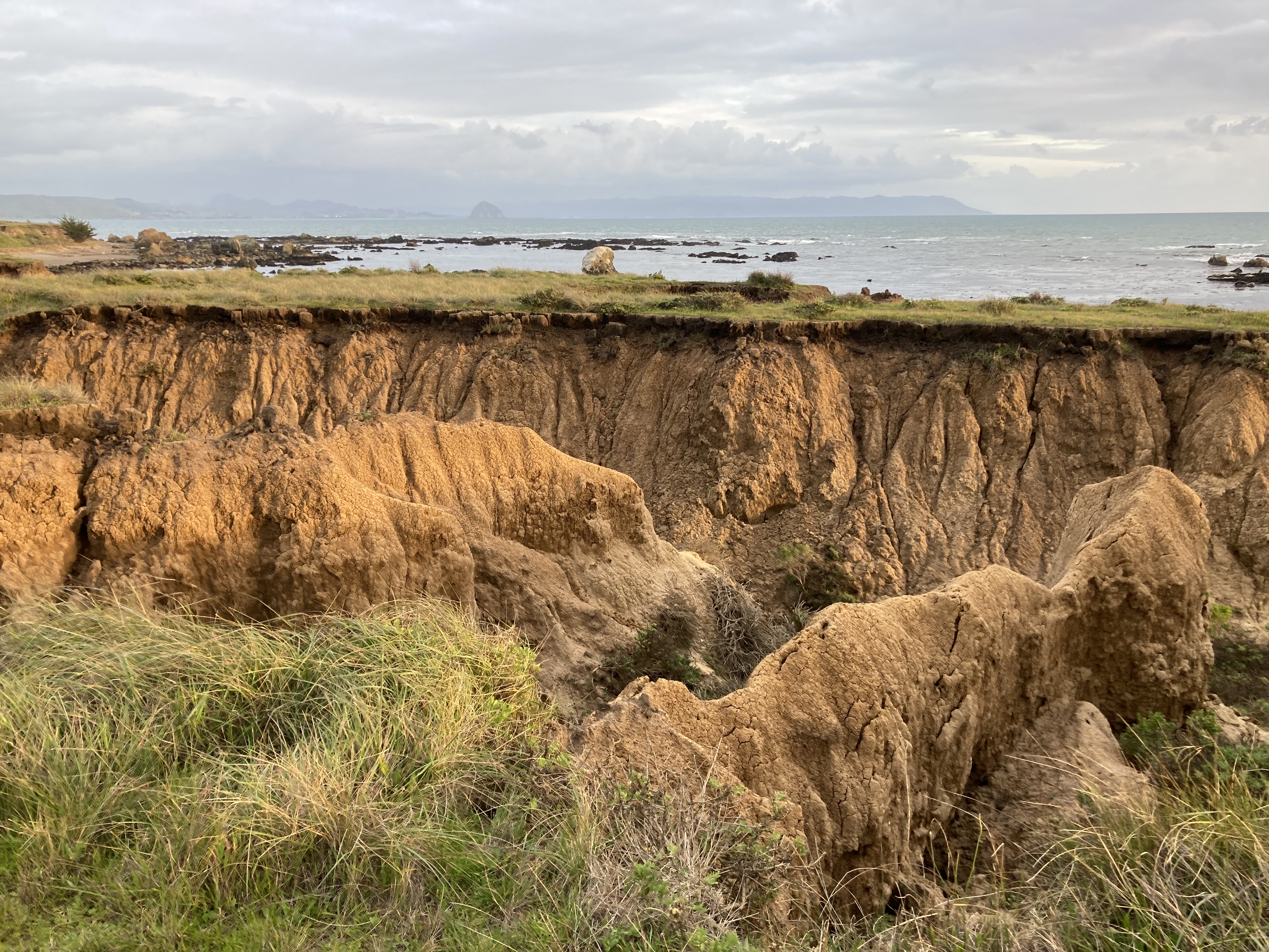
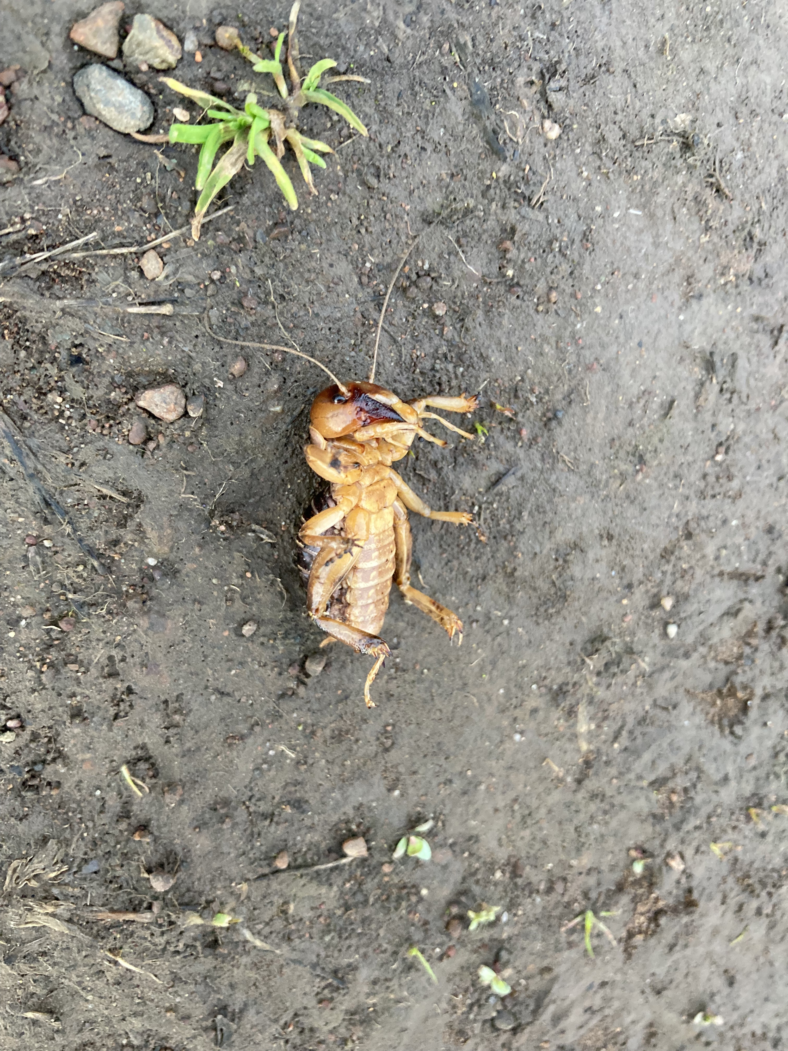
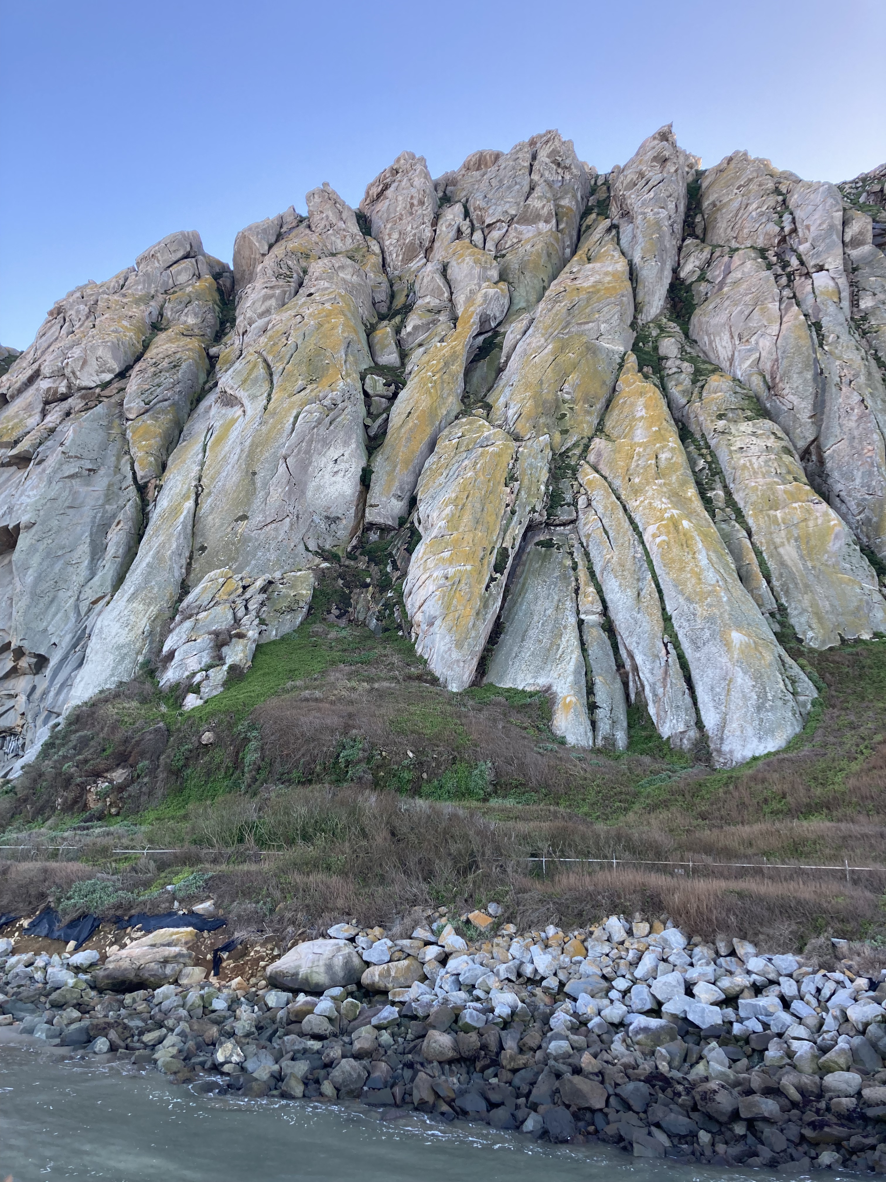
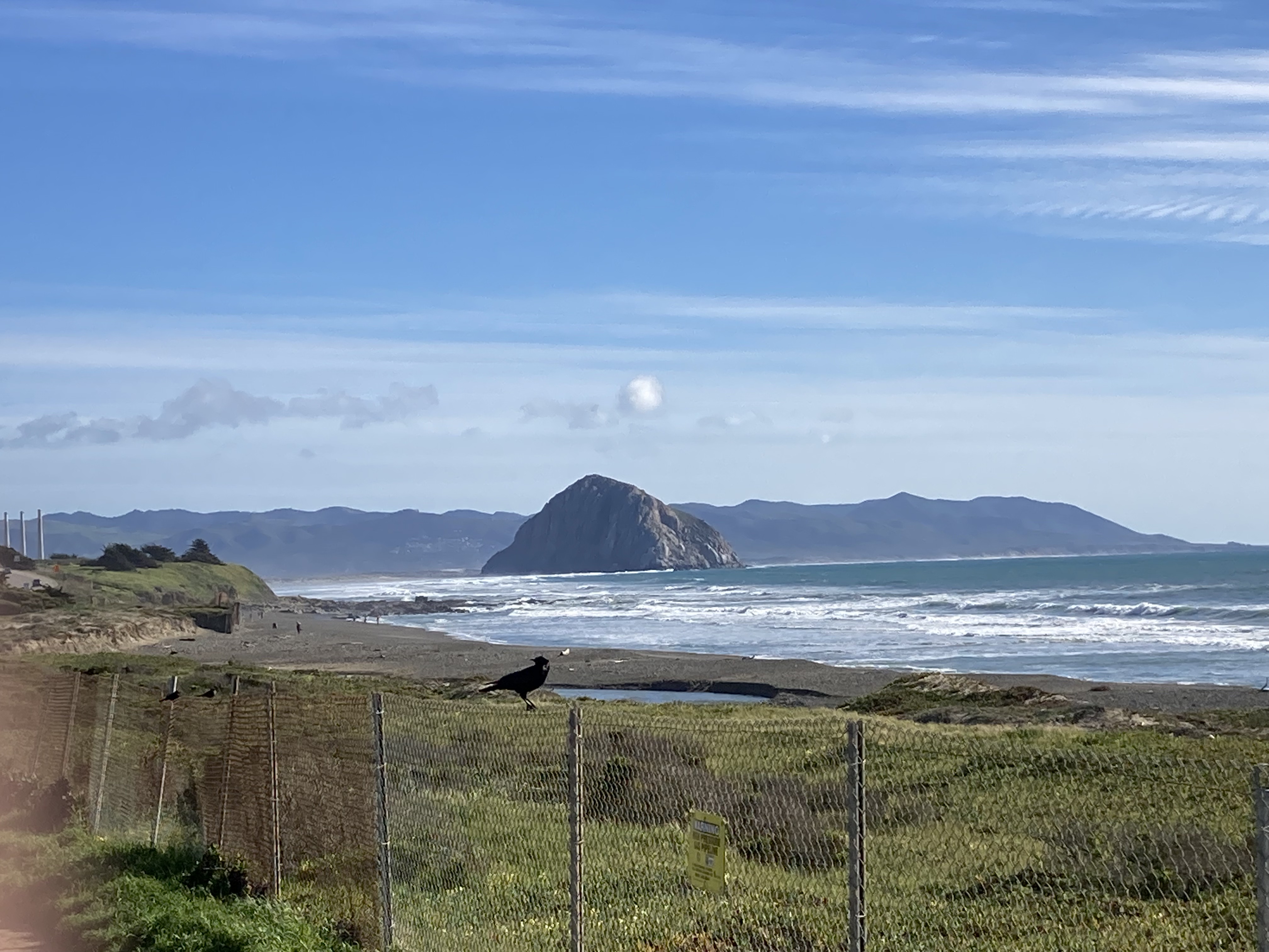
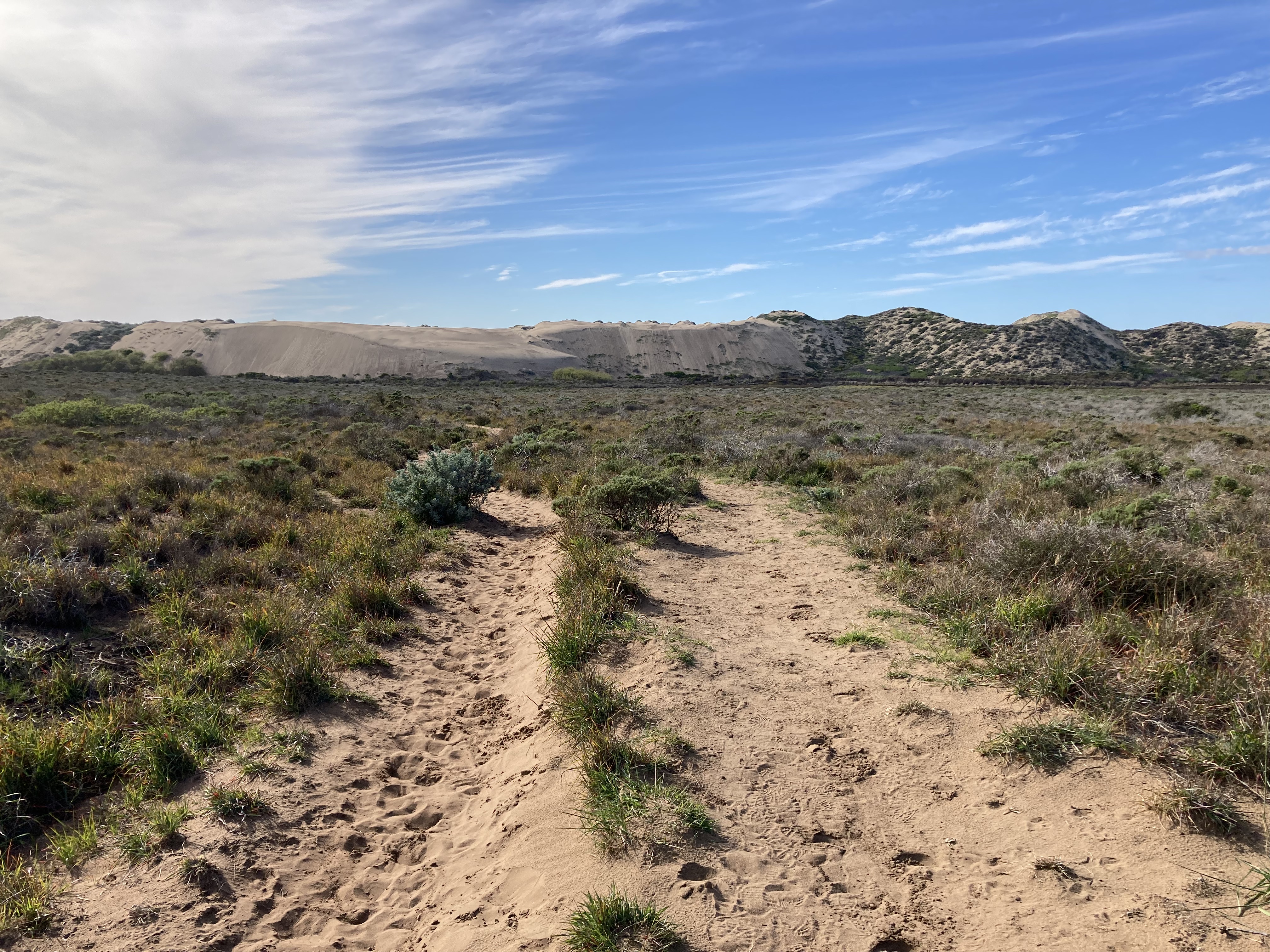
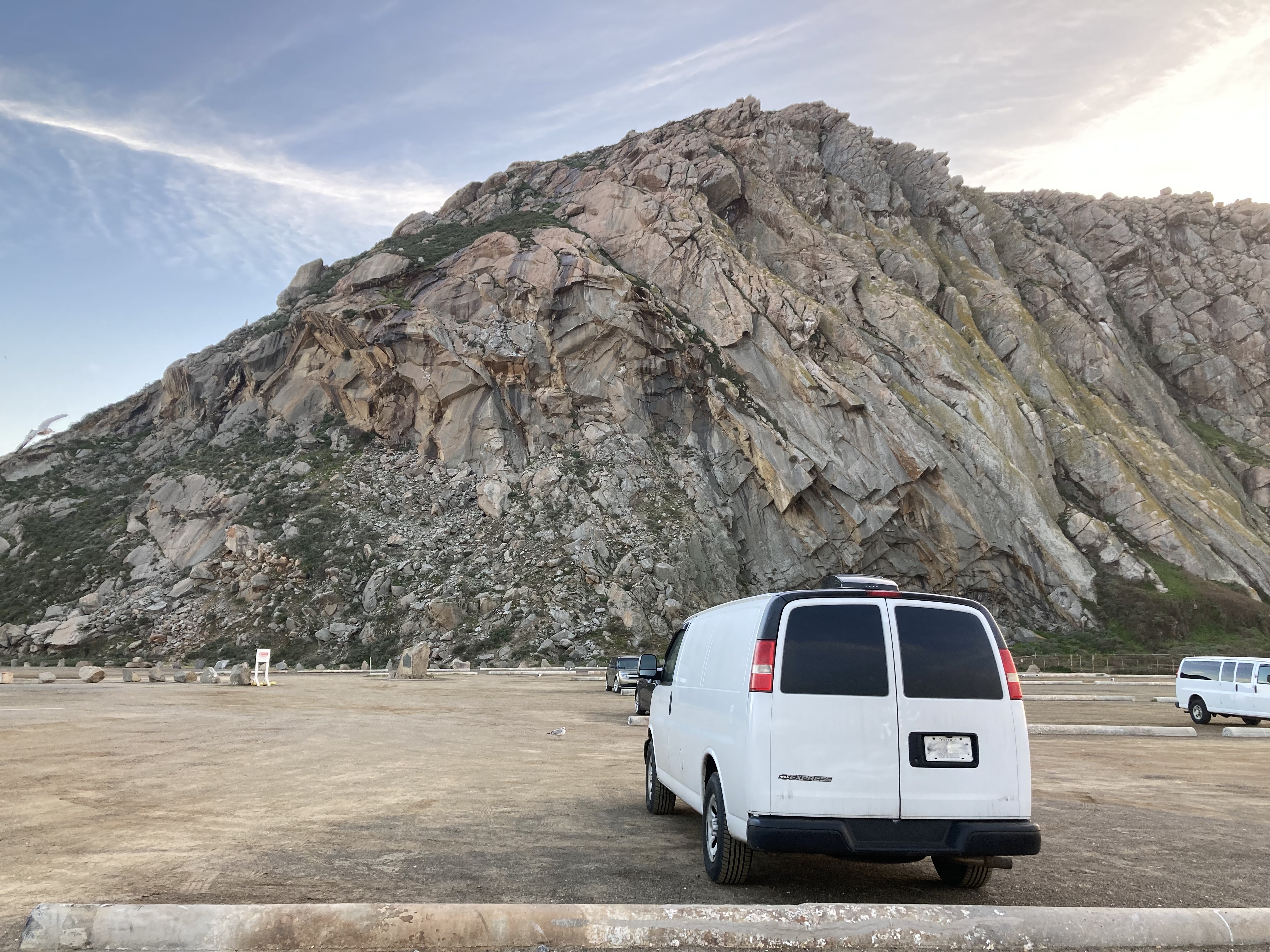
Pismo Beach
“Not LA. Not The Bay.”
Pismo Beach is a small beachtown of about 8,000 people, about a half hour south of Morro Bay. On my way there I made a few stops.
First up: Avila Beach, an unincorporated community of about 1,400 residents. I visited the pier, which is a small area with a beach, shops, and bars. I wish I’d factored in more time to chill here, as it made an impression.
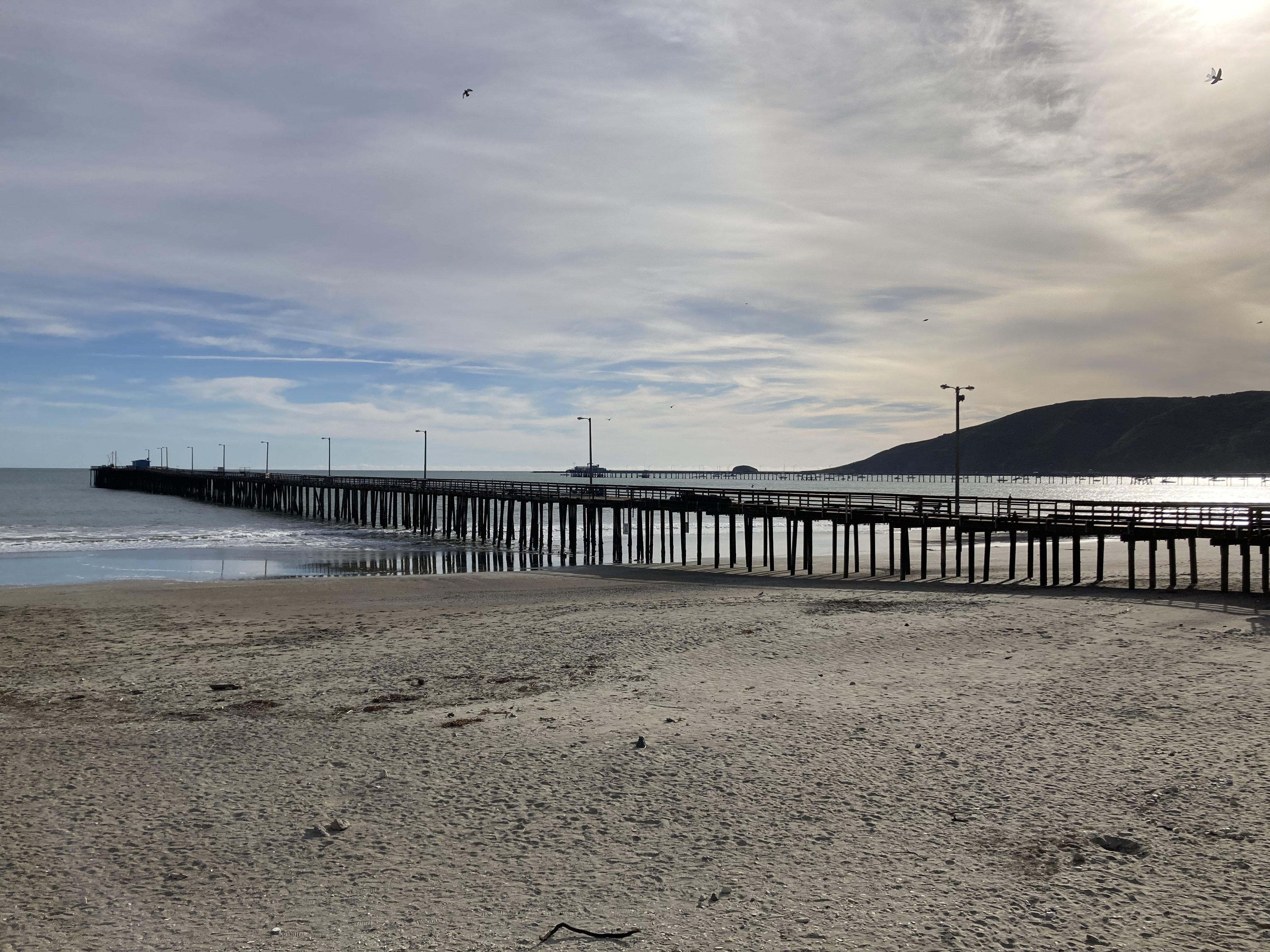
Close to here is Smuggler’s Cave, which has a history of smuggled alcohol during the Prohibition era. The dirt lot seemed to be a hangout spot and was crowded when I arrived. You take a trail down to an ocean overlook, then behind you is a rock arch that you can walk through to get a view of the northern coastline. Little did I know, there was also a hidden, clothing optional beach here, too, at Pirate’s Cove (probably explains the crowd).
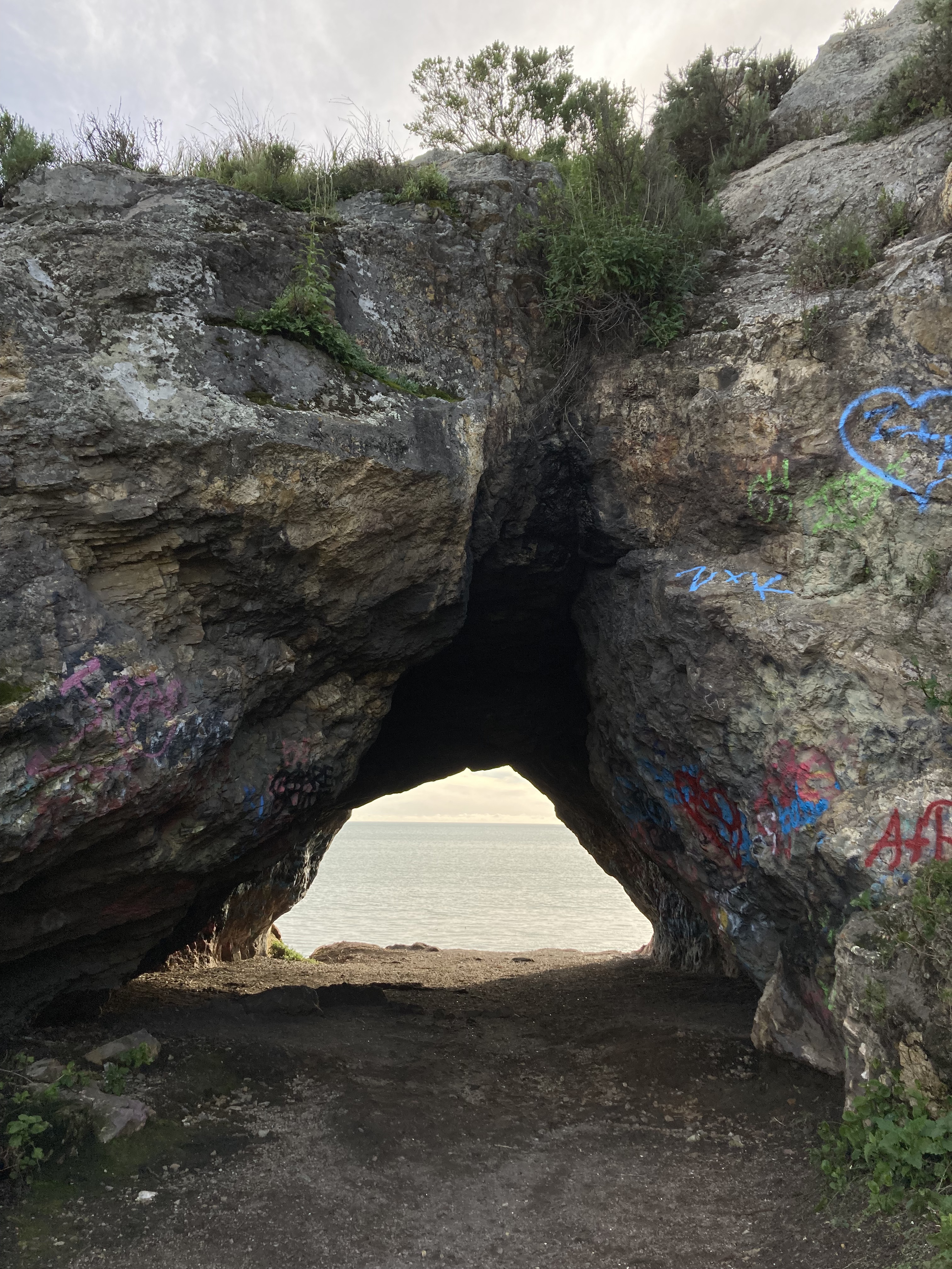
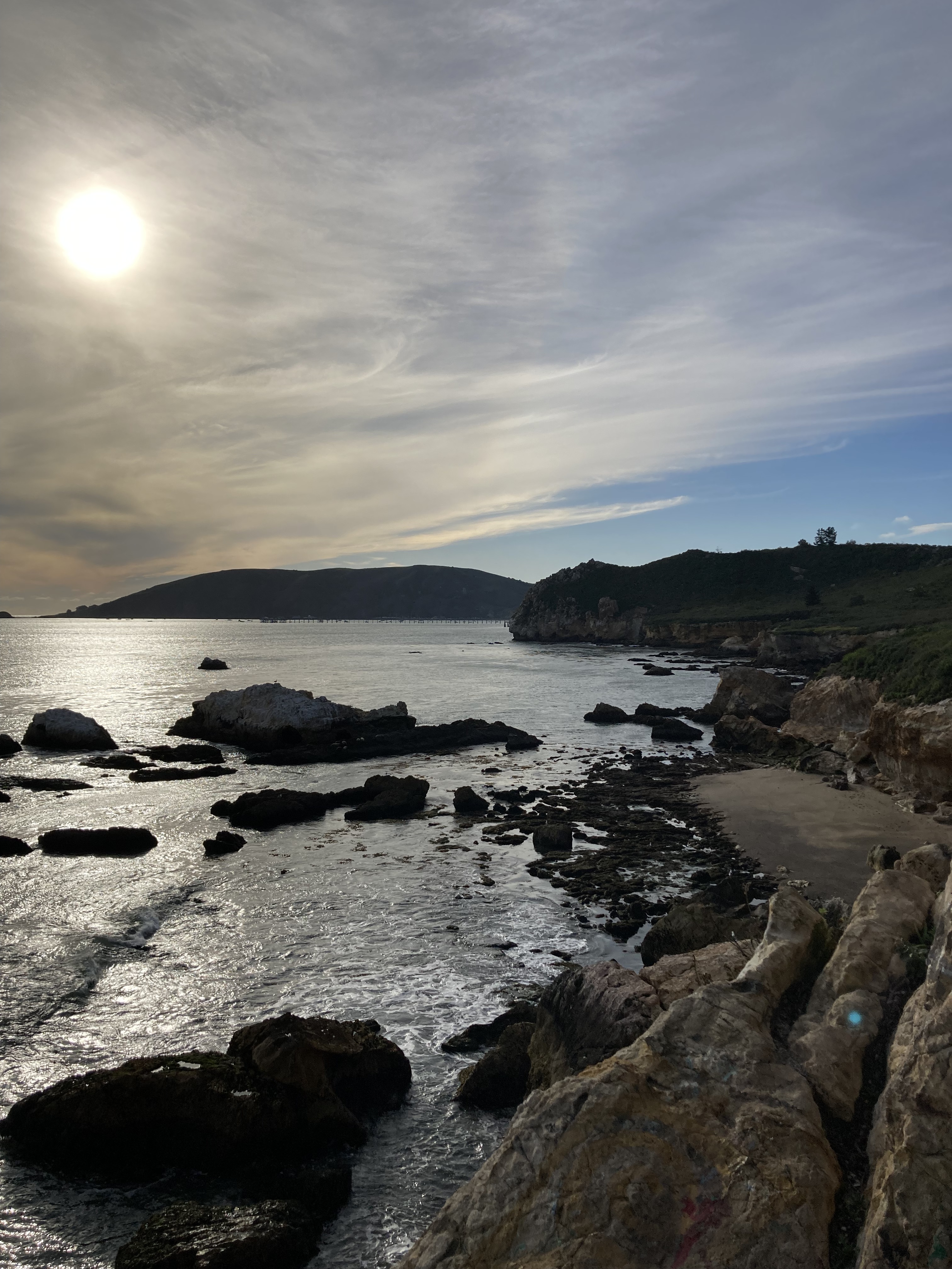
Just before Pismo Beach I stopped at Dinosaur Caves Park. I’m not sure what convinced me to go here, as it was mostly just a park – complete with playground, kids, parents, dogs. But it did have trails along the waterfront where I got more bluff views. I probably wouldn’t stop here again.
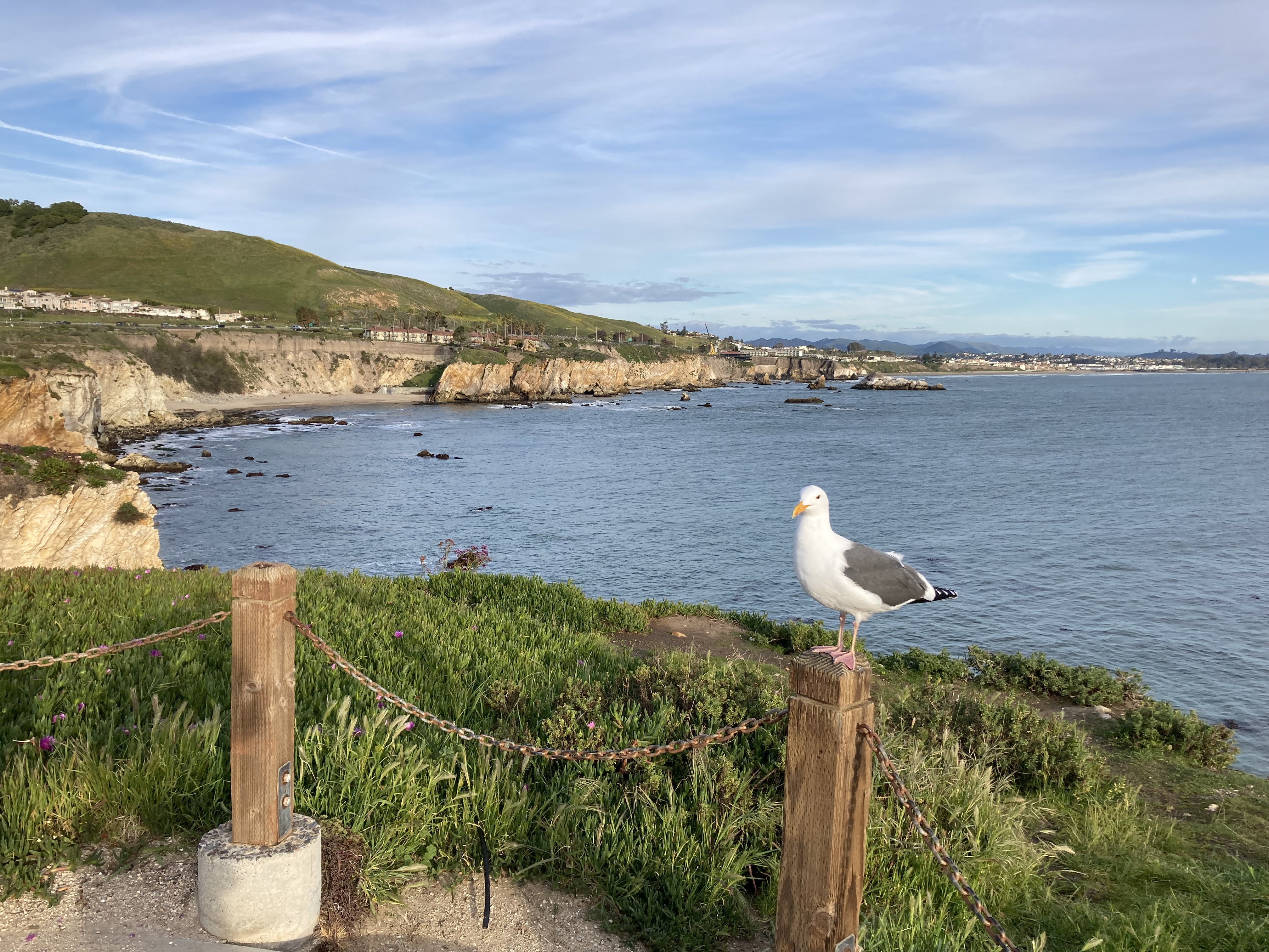
I found street parking in Pismo Beach right near the pier and downtown promenade. I walked along the pier, which juts out pretty far and was one of the bigger/ nicer piers that I’d seen. I walked along the beach. The area, the pier especially, made me think of shows and movies that take place in California – there was something quintessential, stereotypical, about it. There were also buskers, and maybe some sketchy folk, though I didn’t necessarily feel unsafe.
I then walked around Pismo Beach Promenade, which is essentially a very small street downtown with shops. I got here in the late afternoon and it seemed like some of the nicer tourist shops had already closed.
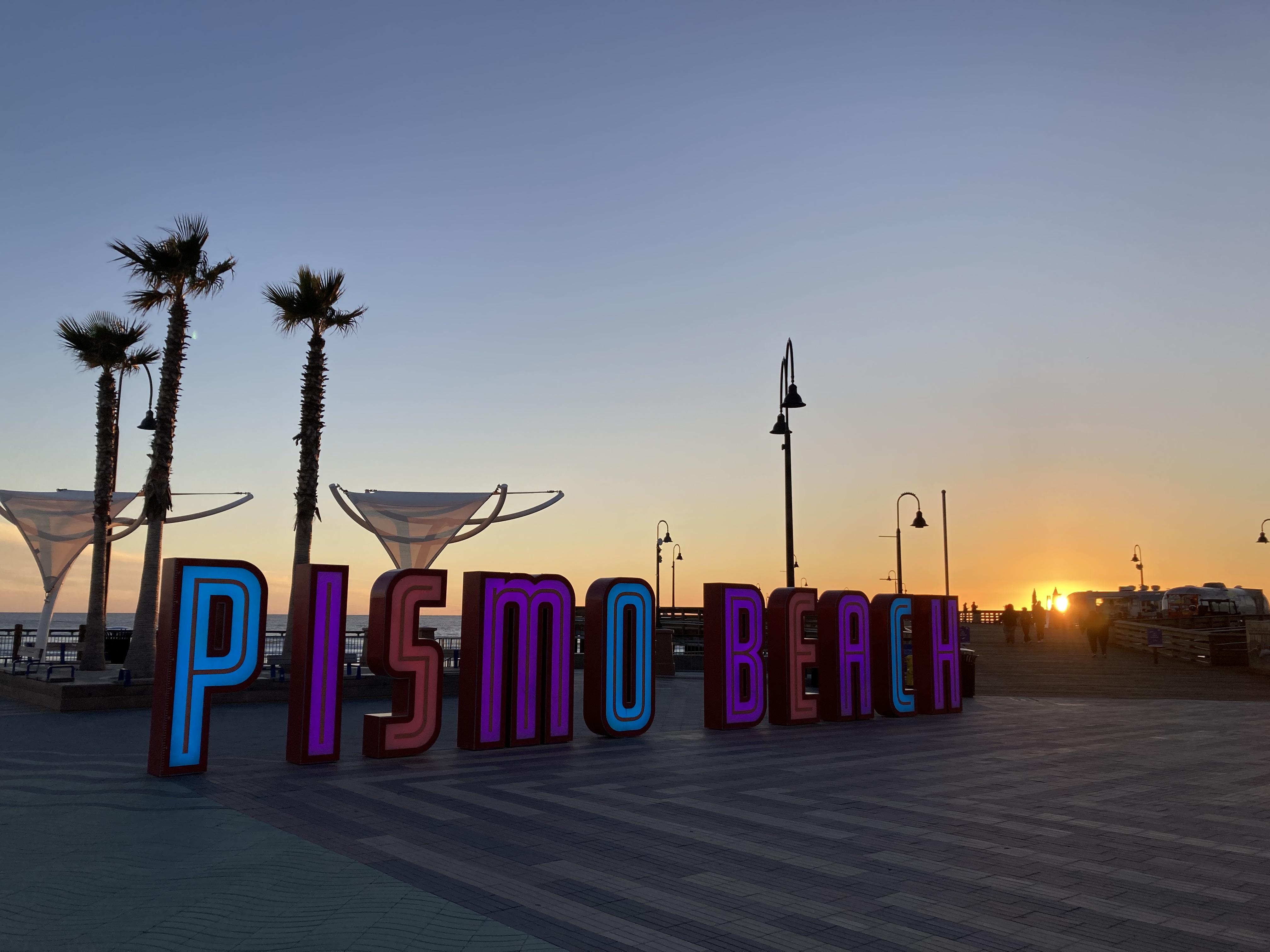
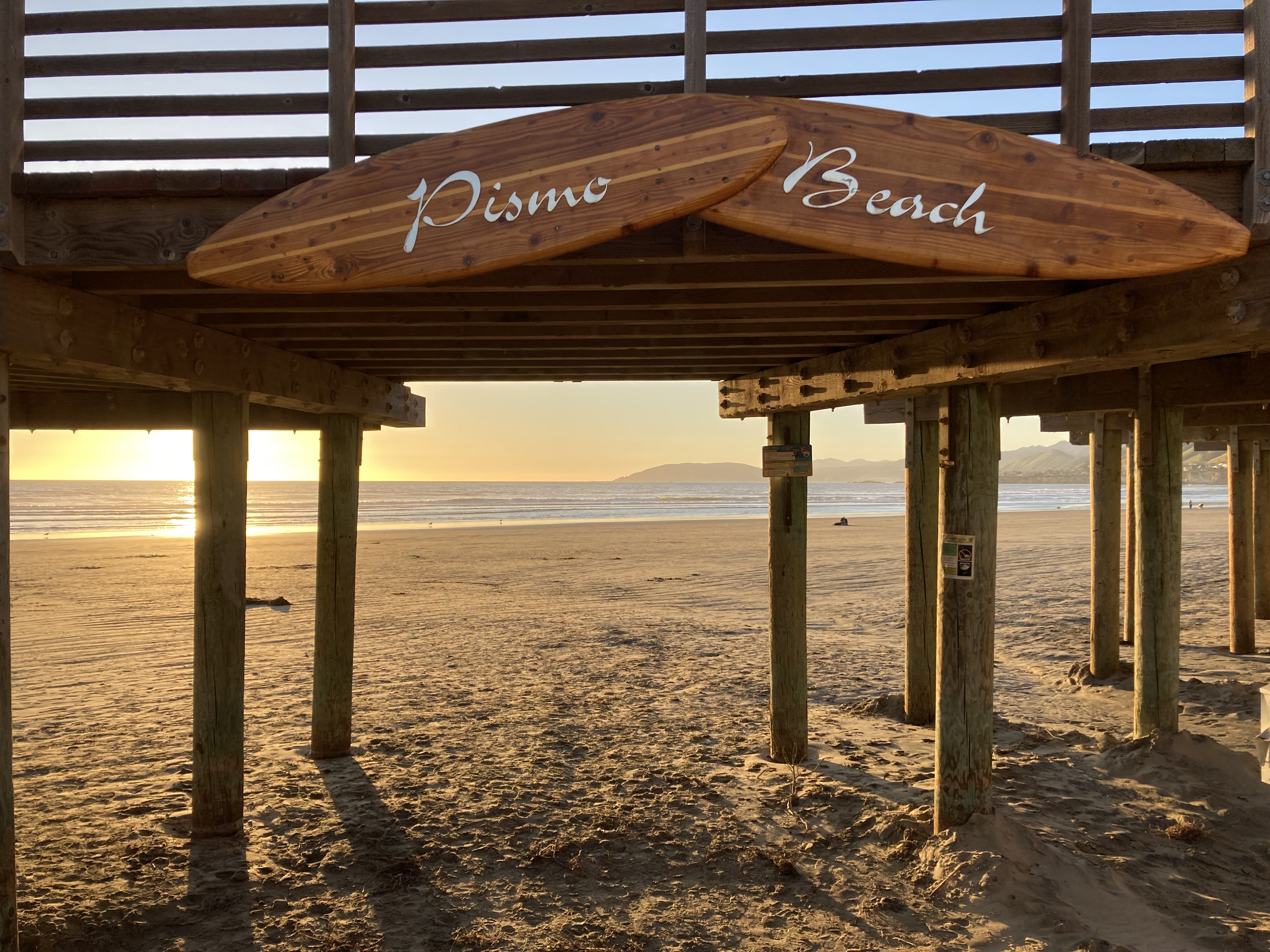
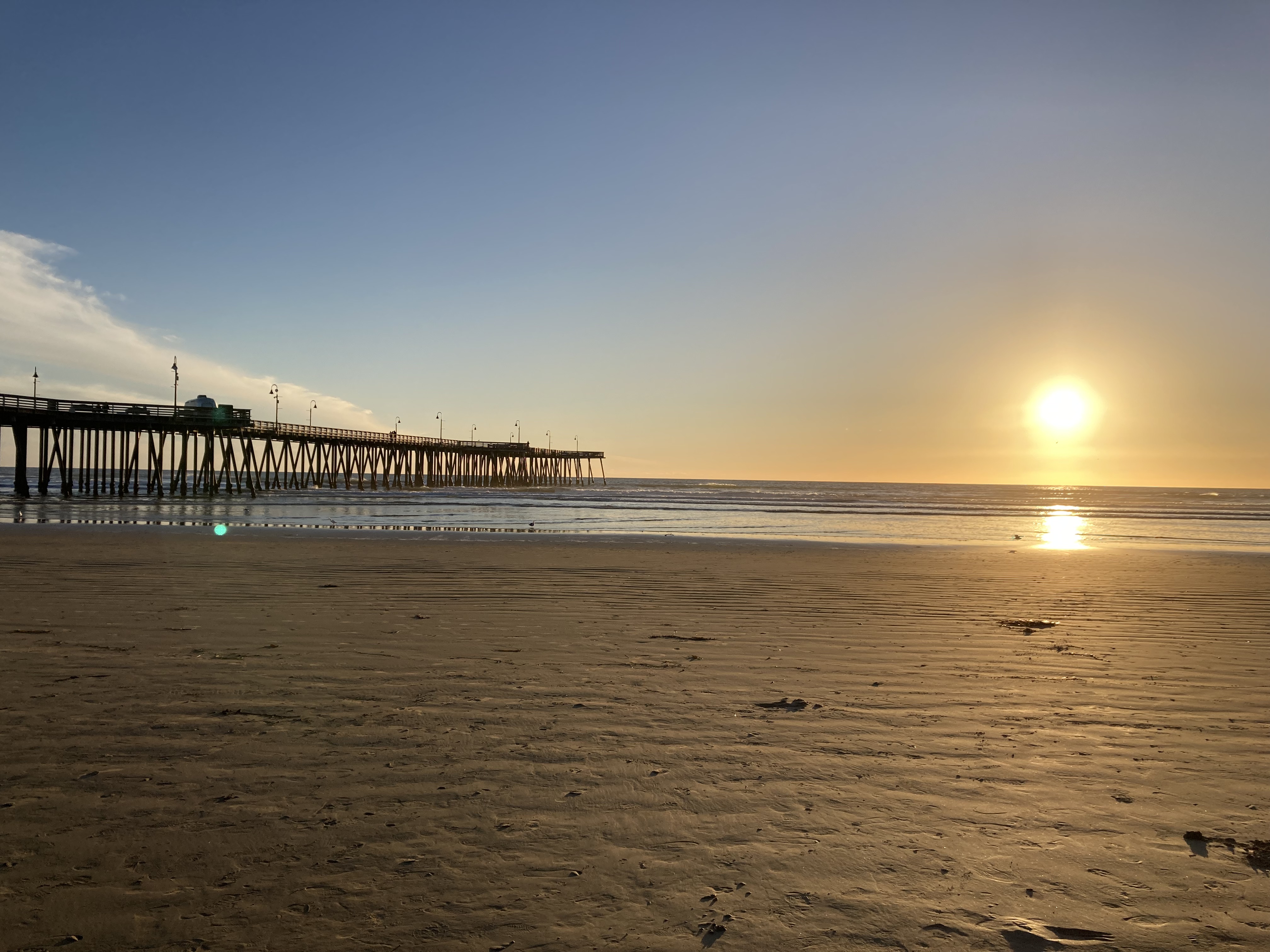
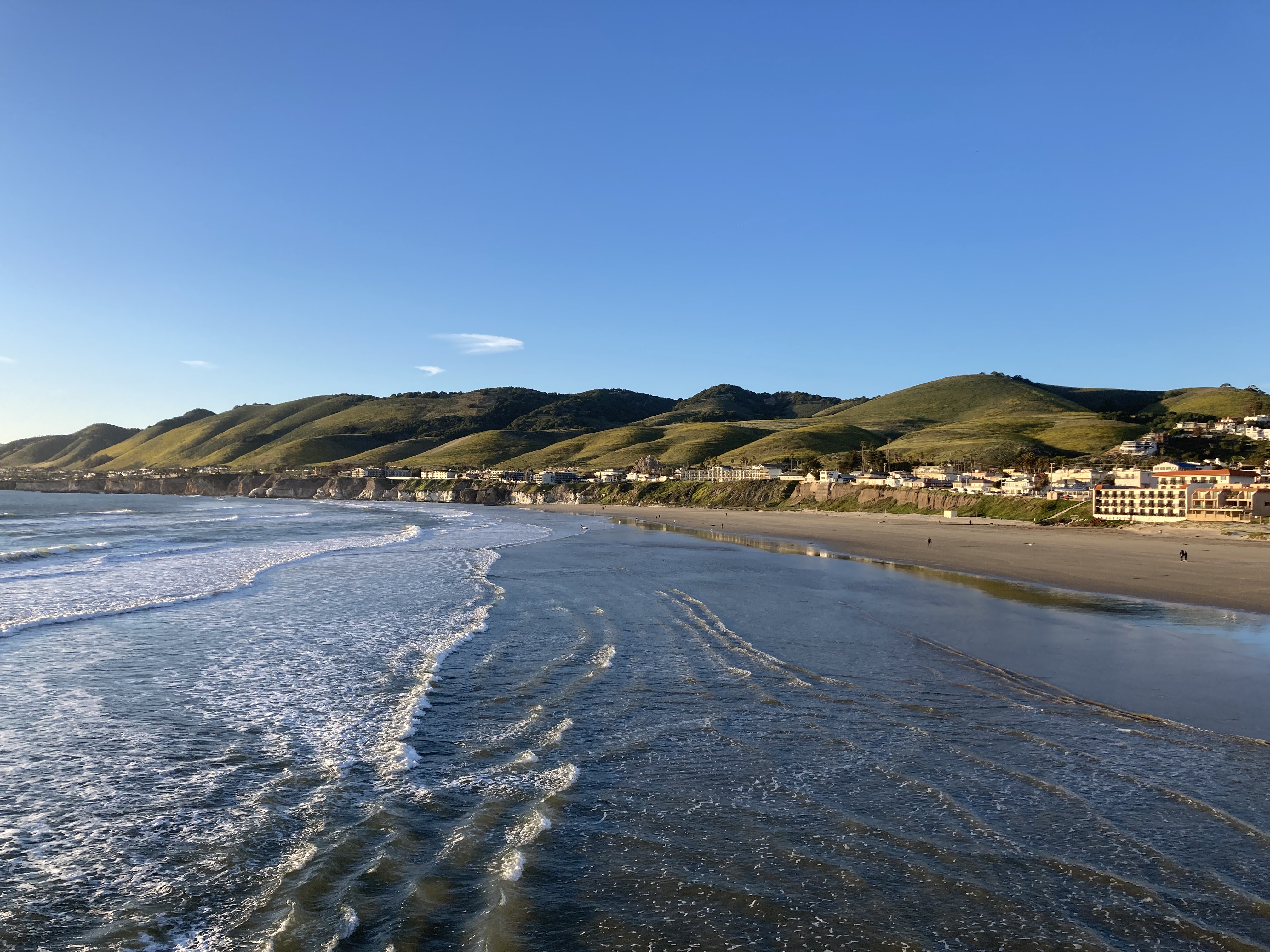
One cool thing I saw here was a sign on the side of a business that said “Not LA, Not The Bay.” It stuck with me.
I also saw some towels in a tourist shop window that laid out pretty well all of the sights you’d want to see in California – in retrospect, I can say I got to almost all of them.
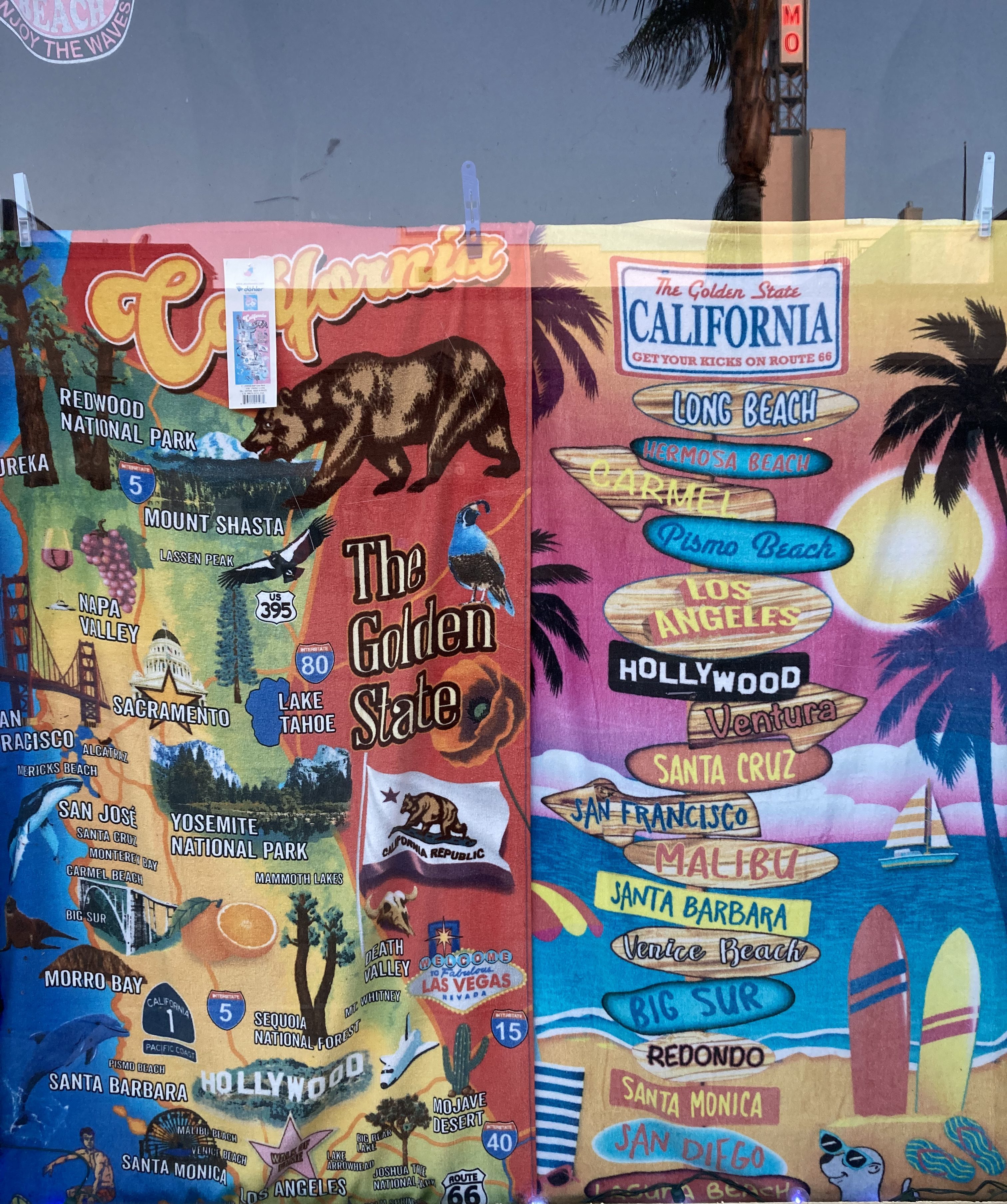
My search for an overnight spot brought me to a Walmart in Lompoc (which for some reason I only remember as a place with an air force base), about an hour south of Pismo Beach, in Santa Barbara County. I made a note that a sketchy guy was staring me down in the parking lot, which reading back is unsettling.
From here I planned my next destination and booked a couple of nights at an RV park in Santa Barbara!
The exact place where SoCal begins may be up for debate, with some saying that San Luis Obispo County (covers Ragged Point to Pismo Beach) is the transition area from central to southern California. To me, it felt like Pismo Beach was where things first started to feel like SoCal. But Santa Barbara is definitely SoCal – and that’s where I’ll start my next blog post, which will cover California’s southern coast and interior!
Other
Safety
When I got to California I was in the habit of checking crime rates for the areas I would be visiting or passing through. I found a convenient resource that provided information for the whole state, by county, and by city, including population, population density, reported crimes, rate of crimes per 1,000 people, and broke the crimes down into violent and property crimes. I mainly paid attention to the violent and property crime rates.
It is important to mention that this particular resource is from 2014 and rates have probably shifted, though I felt it was a good enough source to give me an idea.
After a while, with my own impressions of certain cities and areas in addition to the crime rates, I got a good grasp on what the numbers actually reflected. As in, my gut feeling on places would often reflect and be confirmed by the numbers. For example, a violent crime rate of 3 or 4 or less did not feel too worrisome. But I would see big cities with violent crime rates around 8 or 9, and that or higher felt like something to pay attention to. With property crime rates anything in the low 20s or less felt pretty good. The 30s felt like a middle ground where you would want to be more aware. With big cities I often saw a property crime rate around 50 (per 1,000), which felt high, and anything above that I might want to steer clear.
Here is a roundup of crime rates for some of the cities I visited in northern and central California:
| Location | Violent crimes per 1,000 people | Property Crimes per 1,000 people |
| California | 3.96 | 24.41 |
| Crescent City | 8.89 | 26.94 |
| Eureka | 5.40 | 81.06 |
| Fort Bragg | 3.73 | 35.33 |
| Santa Rosa | 3.68 | 22.26 |
| Sausalito | 2.94 | 32.51 |
| San Francisco | 7.95 | 53.03 |
| Santa Cruz | 8.26 | 51.54 |
| Monterey | 4.03 | 35.84 |
| Carmel By The Sea | 3.36 | 26.87 |
| Pismo Beach | 3.29 | 48.93 |
For comparison, Oakland’s rates were 16.85 violent and 59.43 property. Crescent City’s violent crime rate surprises me, and I wonder if that has to do with the prison or homeless population. As you can see, Eureka’s property crime rate is super high, which proves the sketchy feeling I had there correct. Santa Cruz is on par with San Francisco, which does surprise me a bit, but there was a reason I left the downtown area to park overnight. And I did get a bit of a sketchy vibe with regards to theft in Pismo Beach, so that checks out.
As well, rates can fluctuate by neighbourhood. You could have a very dangerous city centre but its suburb might be quite safe. When I was in Fort Bragg I remember looking at a crime rate map that told me crime rates were high in certain areas – but I never felt unsafe in Fort Bragg. I guess the impression you have can be subjective or depend on types of crime, and maybe by population/ density, too (a big city and small city may have similar rates, but there’s a higher occurrence in the larger population).
When it came to safety I also thought about the trade offs between sleeping in remote vs urban areas. You may feel that crime rates are higher in populated areas. But if something happens in a remote area you may not have service, or no one would hear you if you yelled out for help.
I also liked to keep hidden when pulling into an overnight area, not get out of the van if I could help it. Because I figured that a lot of people might expect a guy to be driving a cargo van, maybe a big burly guy, rather than a girl who is alone. And that stereotype could work in my favour to discourage being a target.
Finally, with shootings happening, it was good to be aware of gun laws, which were conceal carry (as opposed to open carry) for the most part in California. Another thing I don’t even think about in Canada.
Weather
Obviously, you go to California, you expect sun and warmth. But winter offers something different.
On the west coast you would also be keeping tabs on forest fires during warmer months, though this is increasingly an issue affecting wider spread areas of the continent.
Other than forest fires, I wasn’t really thinking about special weather on the west coast, but I learned pretty fast about the treachery that winter rain can create. Coastal flooding, landslides. It was new territory for me. While I did encounter some flooding and muddy areas, I didn’t have too much trouble other than campground closures and the highway though Big Sur being closed.
But it was surprising to see how big the impact was for weather that I didn’t think was that bad. I remember seeing the way water gushed down inclines – when it didn’t even seem like a hard rain to me. The land is different, and it seemed like the sandy soil could not absorb the water, and there was more erosion. Reading articles like this, where there were extensive closures, downed trees, and car accidents. I wondered if part of the issue could be that people aren’t used to the conditions and how to handle them, and also when extreme conditions aren’t common there may not be the infrastructure to deal with it (like snow removal or salting the roads in the mountains). I didn’t even think California got snow (my bad). But this is something I’ve noticed even with growing up in Newfoundland and then living in Ontario – Ontario is not as well equipped to deal with heavy snowfall and people are wowed by conditions that Newfoundlanders don’t think are that bad (I grew up with snow accumulations up to my roof).
It was also just cool to watch the big winter waves.

The Pacific Ocean feels different from the Atlantic somehow.
Best Sunsets
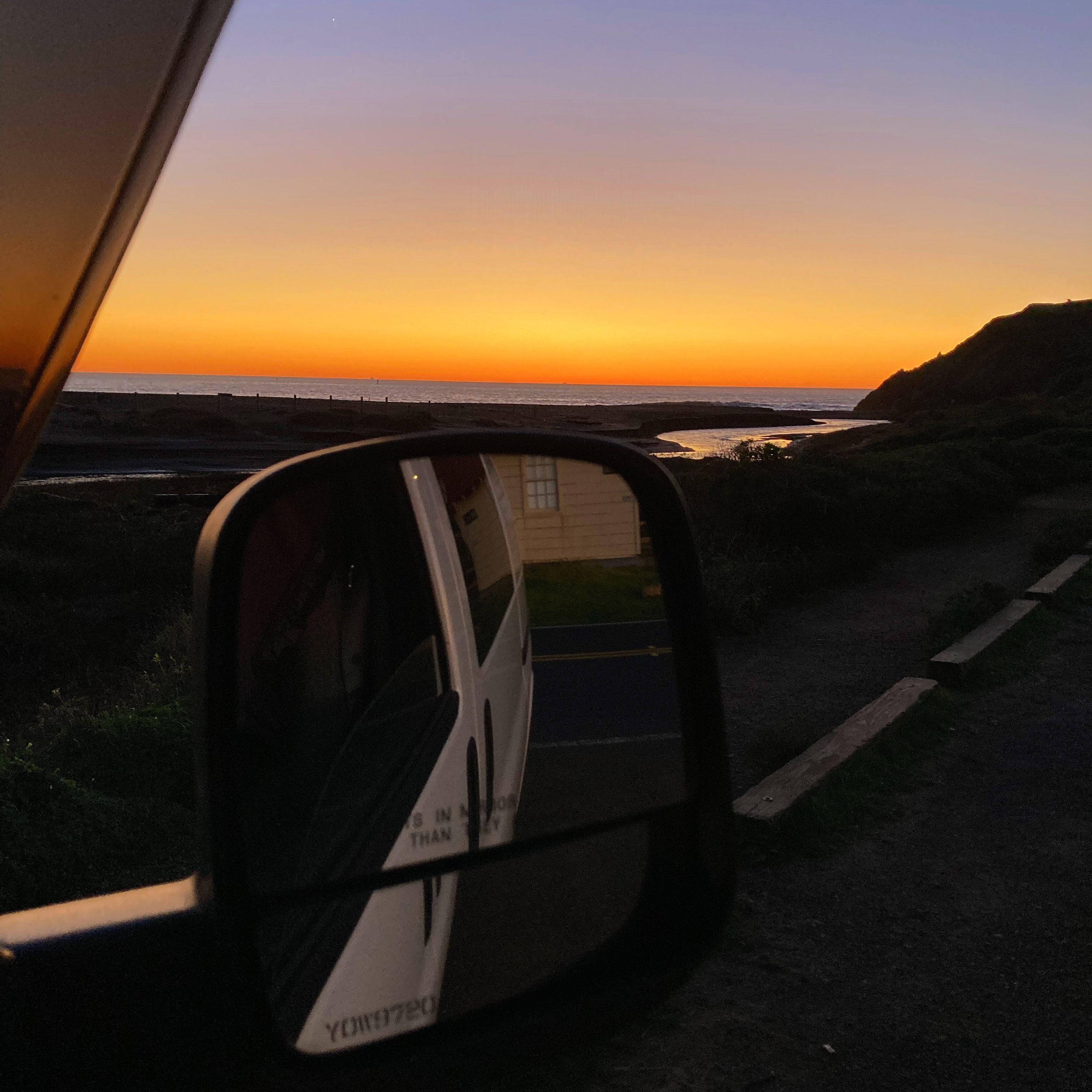
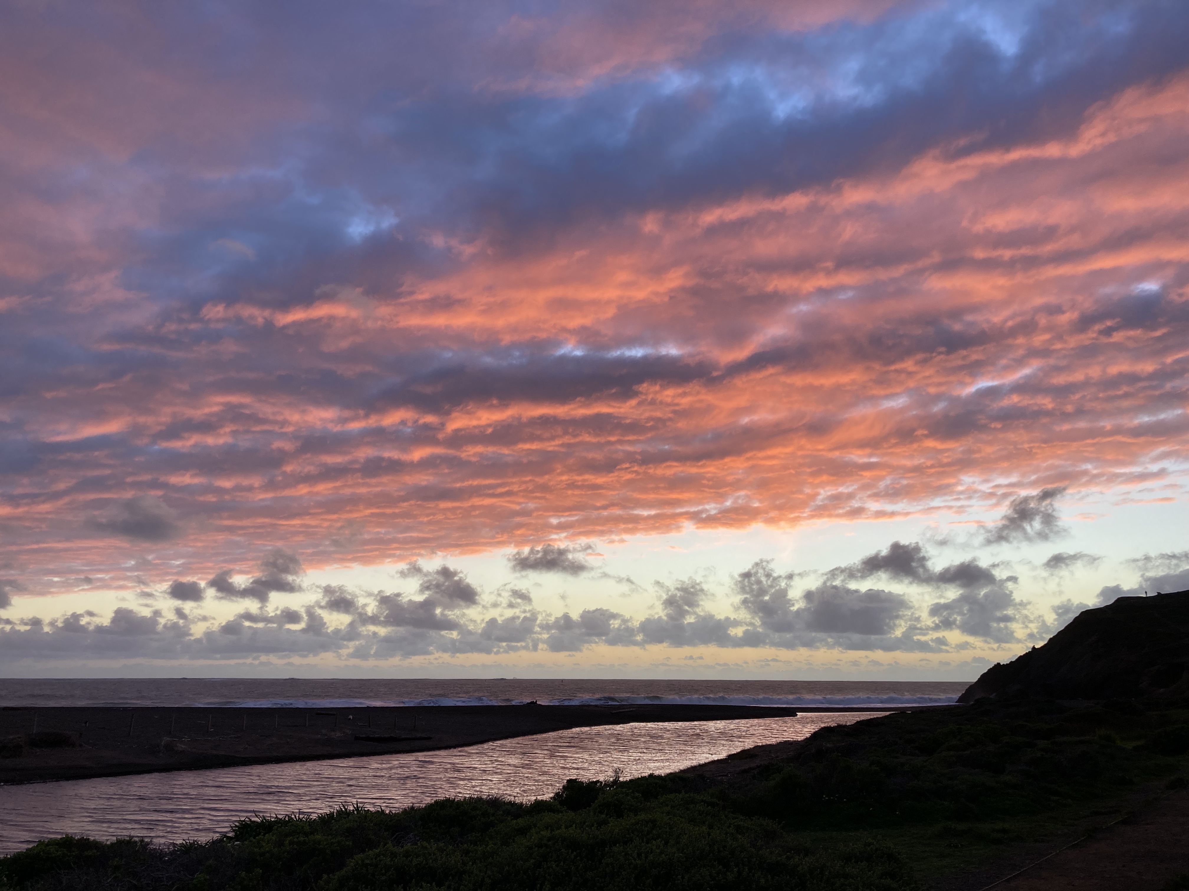

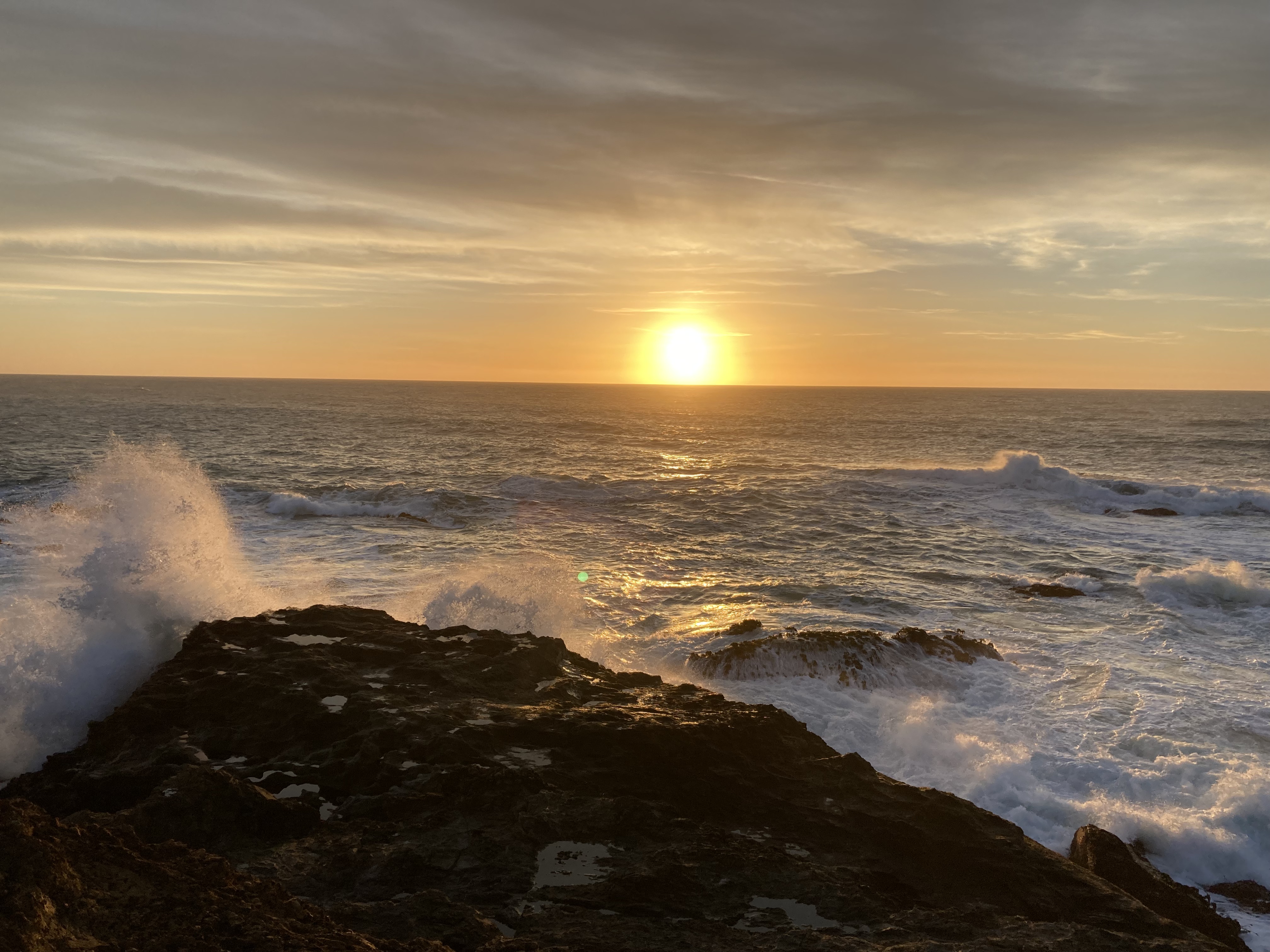
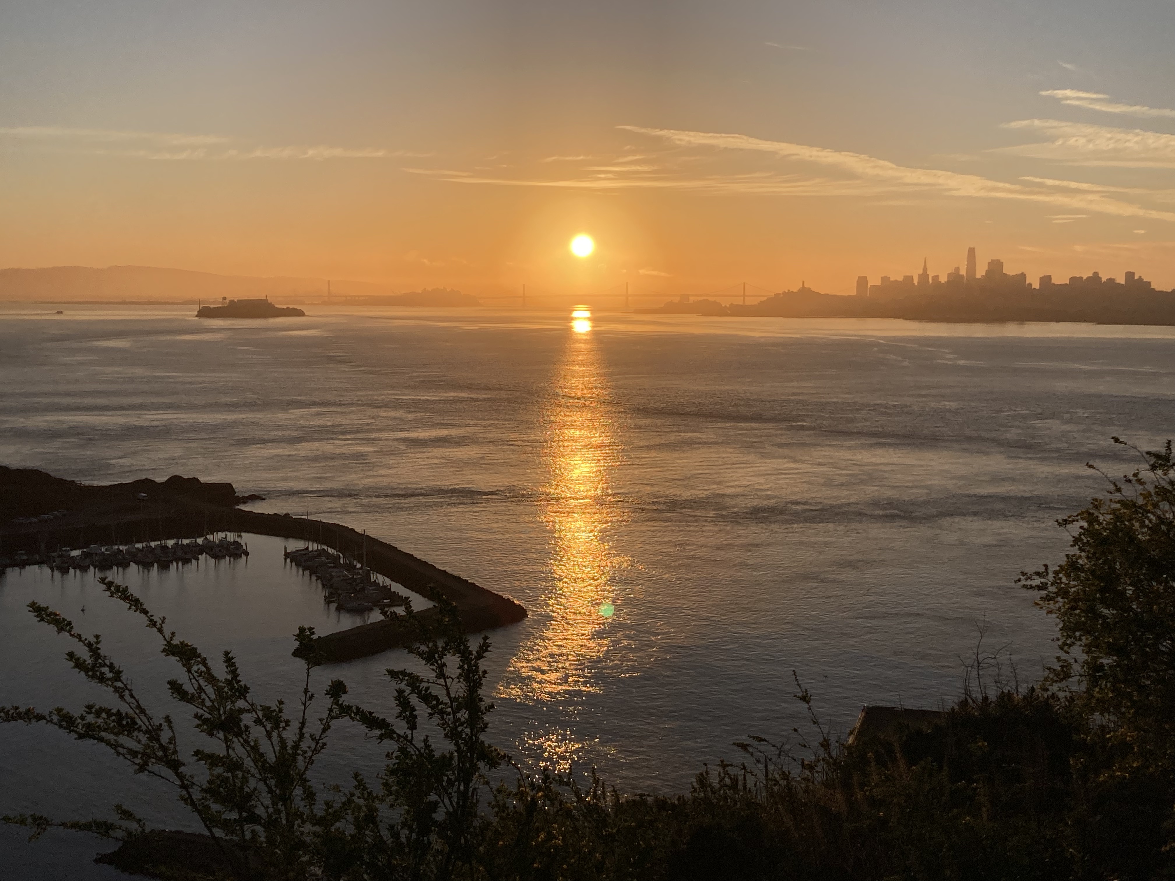
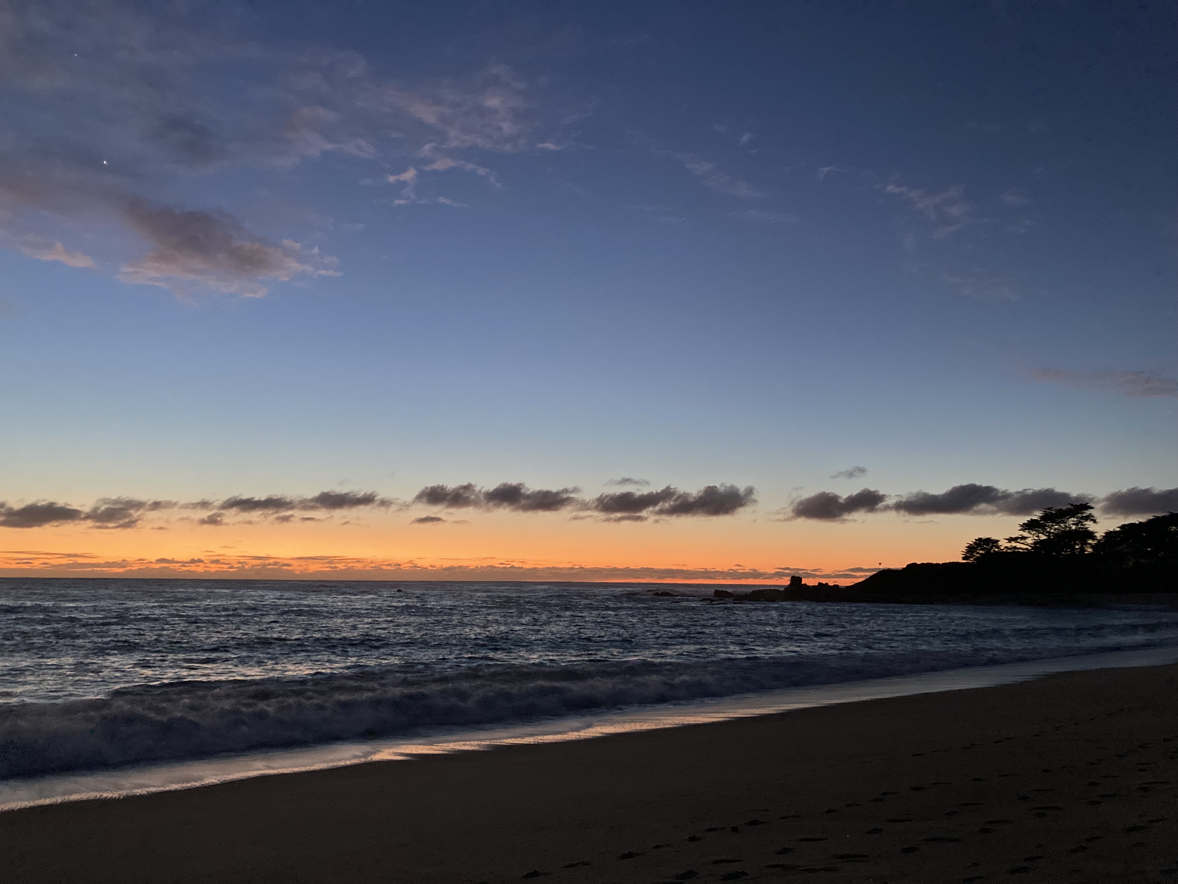
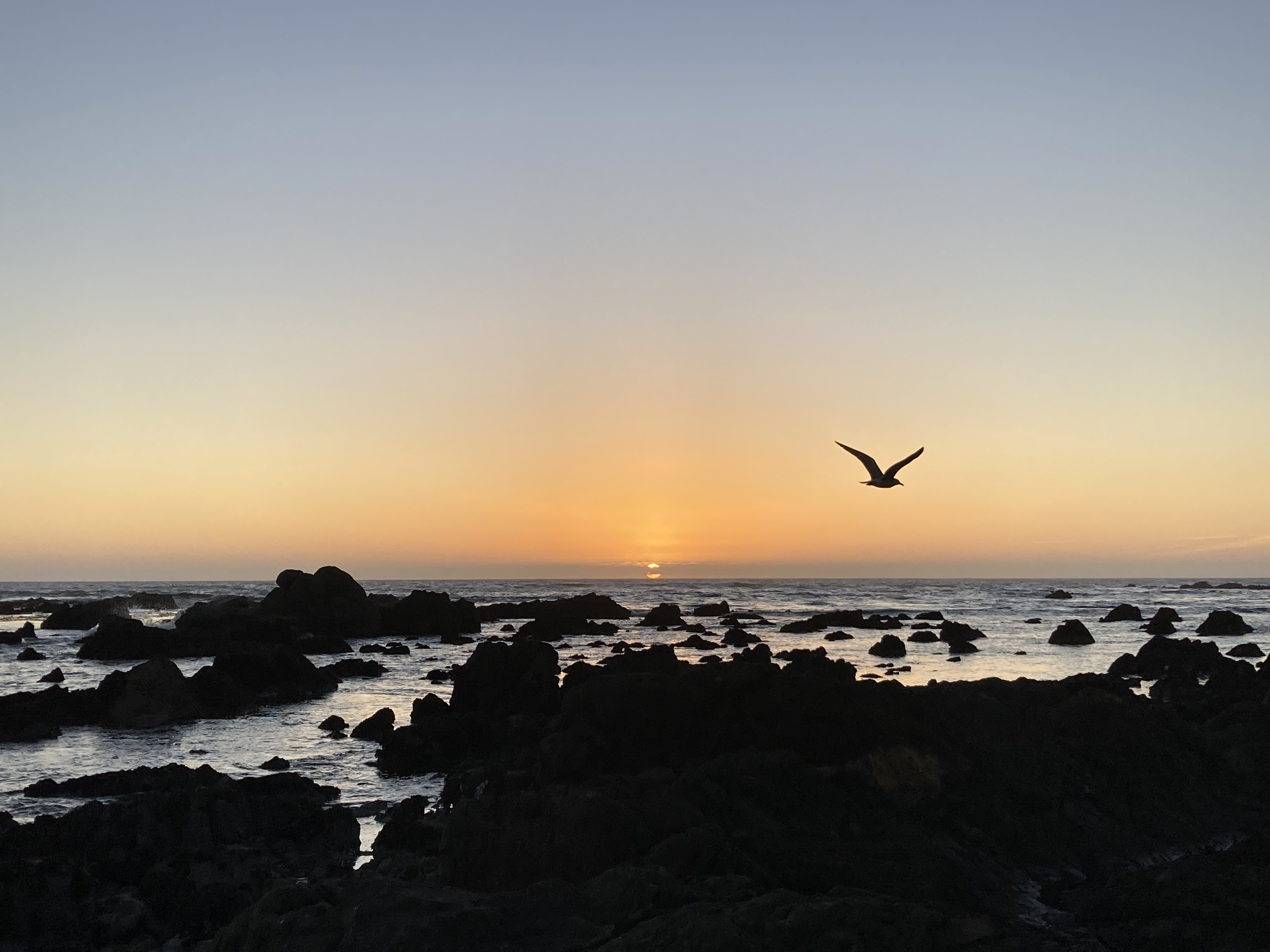
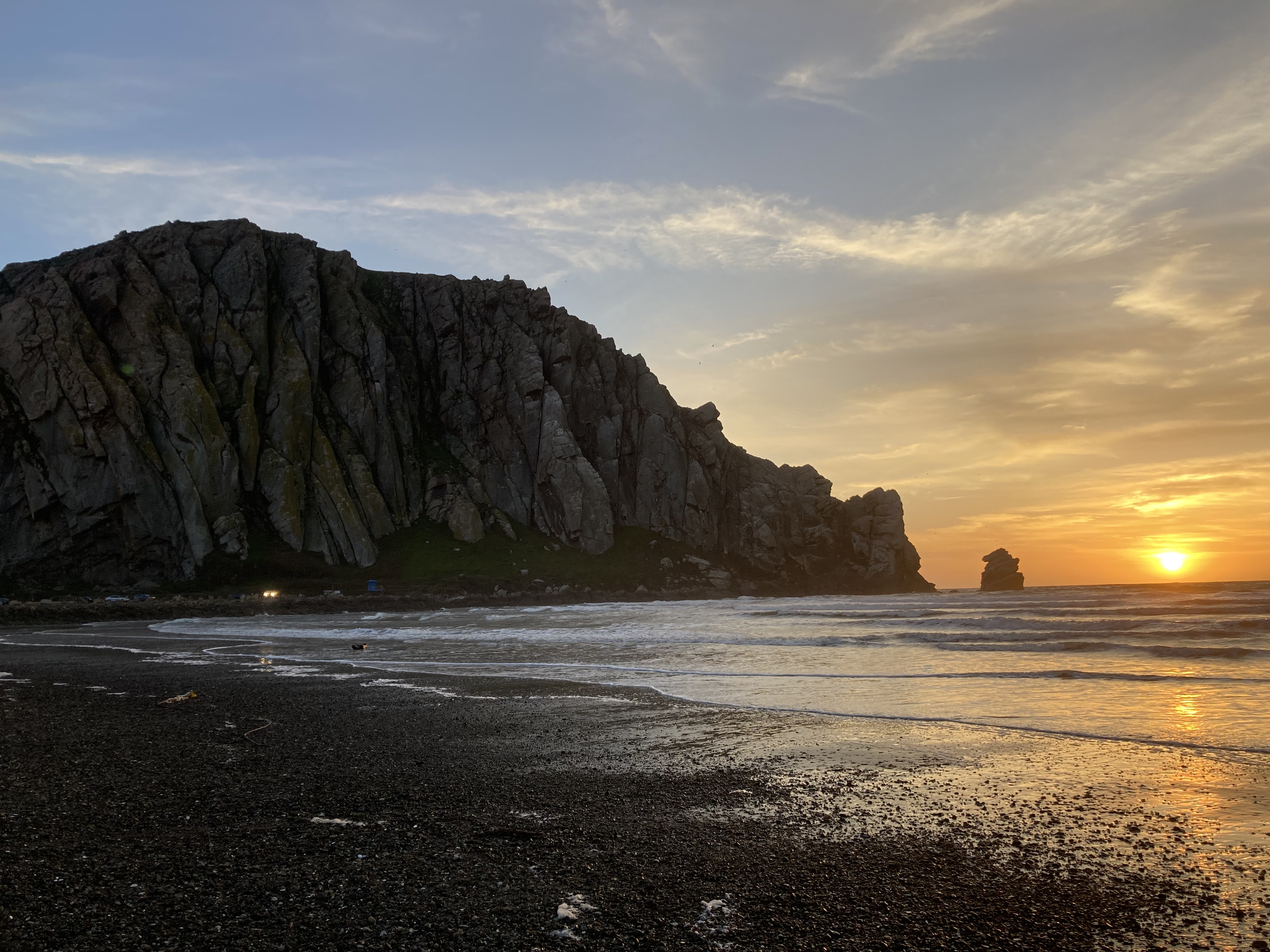
*And an honourary sunrise.
That’s it for California’s northern and central coast! (Did I miss anything?)
Till next time,
Kat
ChronicXRoads on Instagram
Copyright © 2026 Chronic X-Roads. All Rights Reserved.