{But it’s okay, we’re going to Beervana}.
On one hand, Oregon feels very different from California. On the other hand, not so much. It also has ocean, desert, and mountains. It also feels progressive. But – it’s the PNW. There were no longer palm trees. And you can’t pump your own gas (on the plus side, the gas did get cheaper).
Before I pick up where my last post left off (crossing into the Oregon interior from California), I have to back track to the pocket of time that I spent in Oregon after leaving Canada and before getting to California.
Table of Contents
- Table of Contents
- SoBo – Oregon Coast
- NoBo – Oregon Interior
- Other Information
- The End
SoBo – Oregon Coast
Washington, The I-5, & Rest Areas
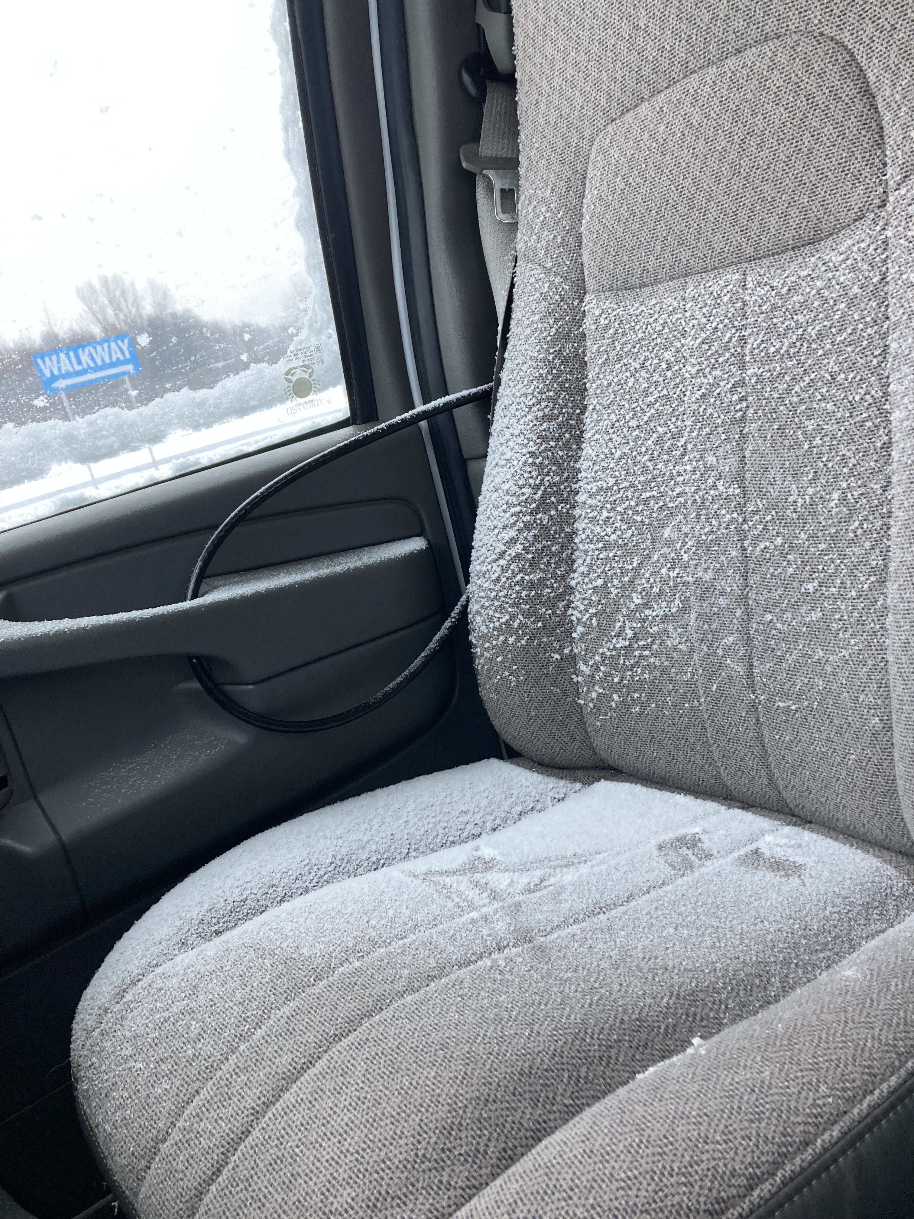
To recap: after crossing the border into the states from Vancouver, a cold front hit, bringing plummeting temperatures (-11C) and a heap of snow.
While I had wanted to go to Seattle (one of my absolute favourite places on earth), I reacted in accordance to the weather and bee-lined it south to get out of dodge in favour of milder conditions. I just about shed a tear as I drove down the highway and watched the Space Needle pass me by while No Excuses by Alice in Chains played on a local radio station.
Fun Fact: I love surfing local radio stations while I’m on the road. It’s always a treat to find stations that play my kind of music, which is also a great way to discover new music, and I like to listen to local radio hosts and hear local news. Seattle especially, being a huge fan of its music history, was exciting to tune into.
I believe I was in Washington for 48 hours, give or take.
I’d crossed the border in the evening and found Silver Reef Casino’s lot to spend the night in. I woke up to snow in the van, as I always crack a window for airflow while I sleep. That’s when I checked the forecast and saw the weather system that would be moving in and began considering what to do and where to go.
You have to be adaptable on the road after all. I’d never planned on doing winter vanlife – I’d hoped to spend winter down south, and I was crushed that my border crossing experience had me questioning if I could do it. I tend to say “prepare for the worst, hope for the best”, but you can’t prepare for everything. Some things come out of left field. Van life teaches you to be flexible and resourceful and go with the flow. I was overwhelmed. So i was focusing on what was right in front of me – the cold front.
I don’t like to hang around too long in the places I sleep, so I headed south on the I-5 to the next rest area, where I could park and consider my options. Initially, I decided I would go south to avoid the bad weather and then come back north once it had passed.
I headed to a Walmart and grocery store to restock on supplies and food for the van. I learned that Sun Chips taste different in the states, and you have to show your receipt at the door when leaving US Walmarts. I ended my first full day in the states at another rest area just south of Olympia, WA.
I remember this being quite a stressful time. It was fairly gloomy with the winter weather (of course the PNW is known for being wet and cloudy). But the border crossing had shaken me up and the looming storm was forcing my hand. Plus, I was adjusting to being in another country. All of this had me feeling on edge and a bit unmoored – albeit lucky to be here.
Ultimately, Oregon was the next frontier, my weather escape plan, and a liminal holding cell, as decisions and direction unfolded.
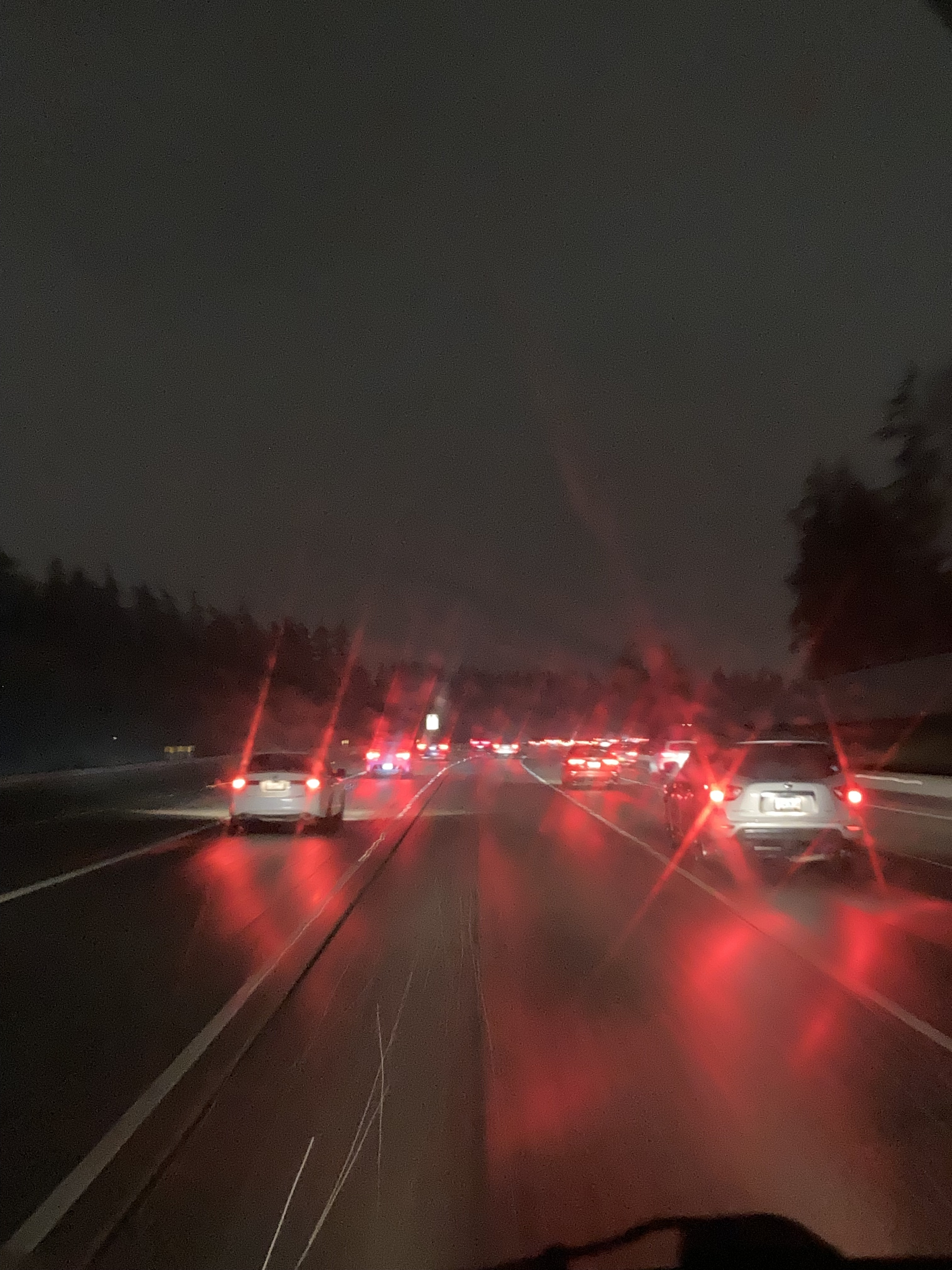
I remember driving through Portland at night – another city I was itching to explore, but was bypassing. As this was winter, days were short, so it was already dark around 6pm, and it was rush hour – and while I usually wouldn’t want to be caught in traffic in a big city, I enjoyed that the slow pace allowed me time to take in some sights.
In Oregon the I-5 runs through Willamette Valley, a 150 mile valley that lies between the Cascade Mountain Range to the east and Oregon’s ocean coastline to the west, from Portland, to Salem, to Eugene. I spent a night at a rest area between Salem and Eugene and the next morning veered for the first time away from the highway and rest area scene.
No earth shattering destination to start, but it was the Winter Solstice, and I wanted to get up early to greet the sunrise in a natural area. I filled up my gas tank ($3.89USD per gallon) then found a little trail system on a body of water just west of Eugene and went for a walk. Nature always has a way of calming me and making me feel grateful.
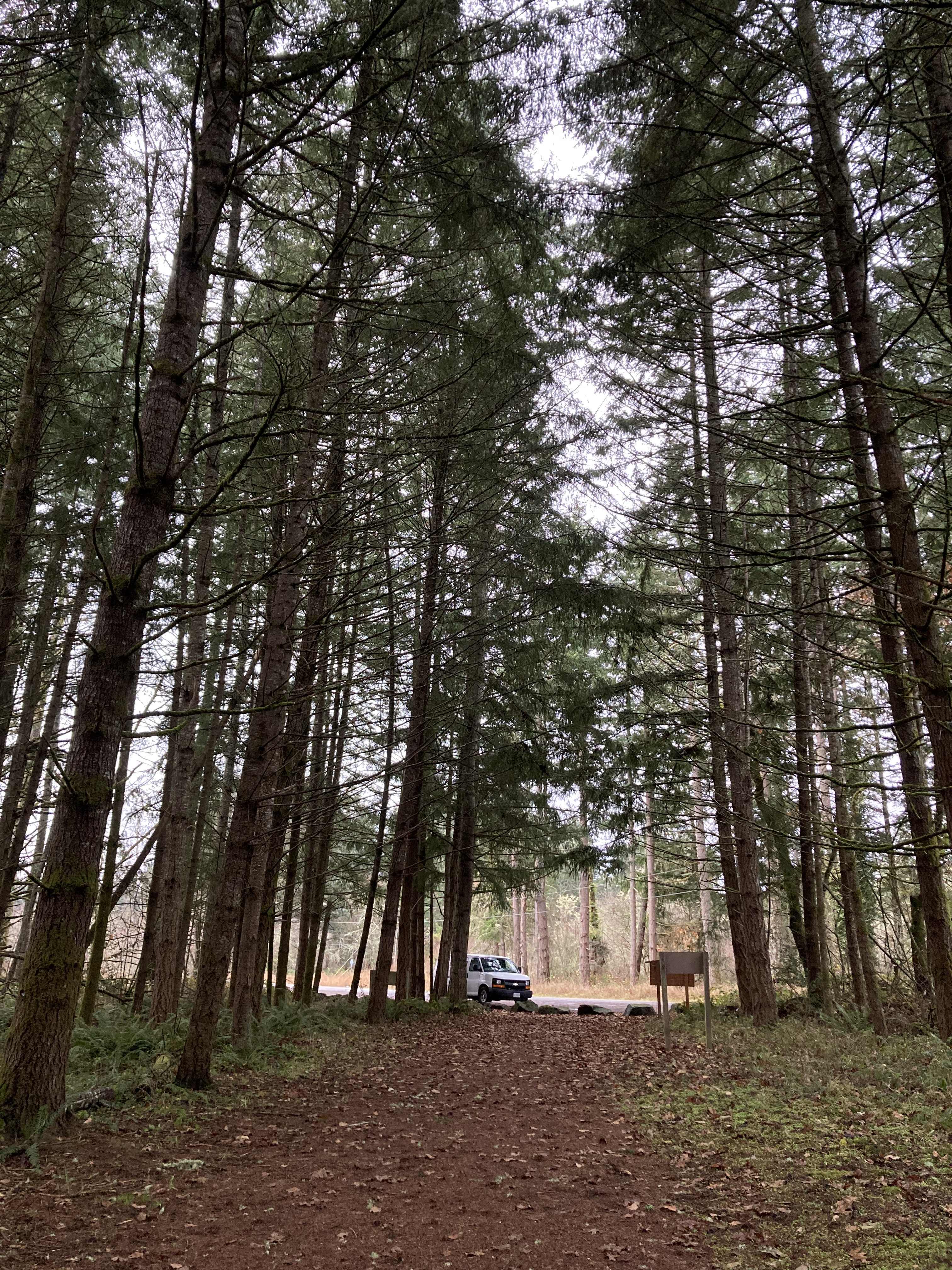
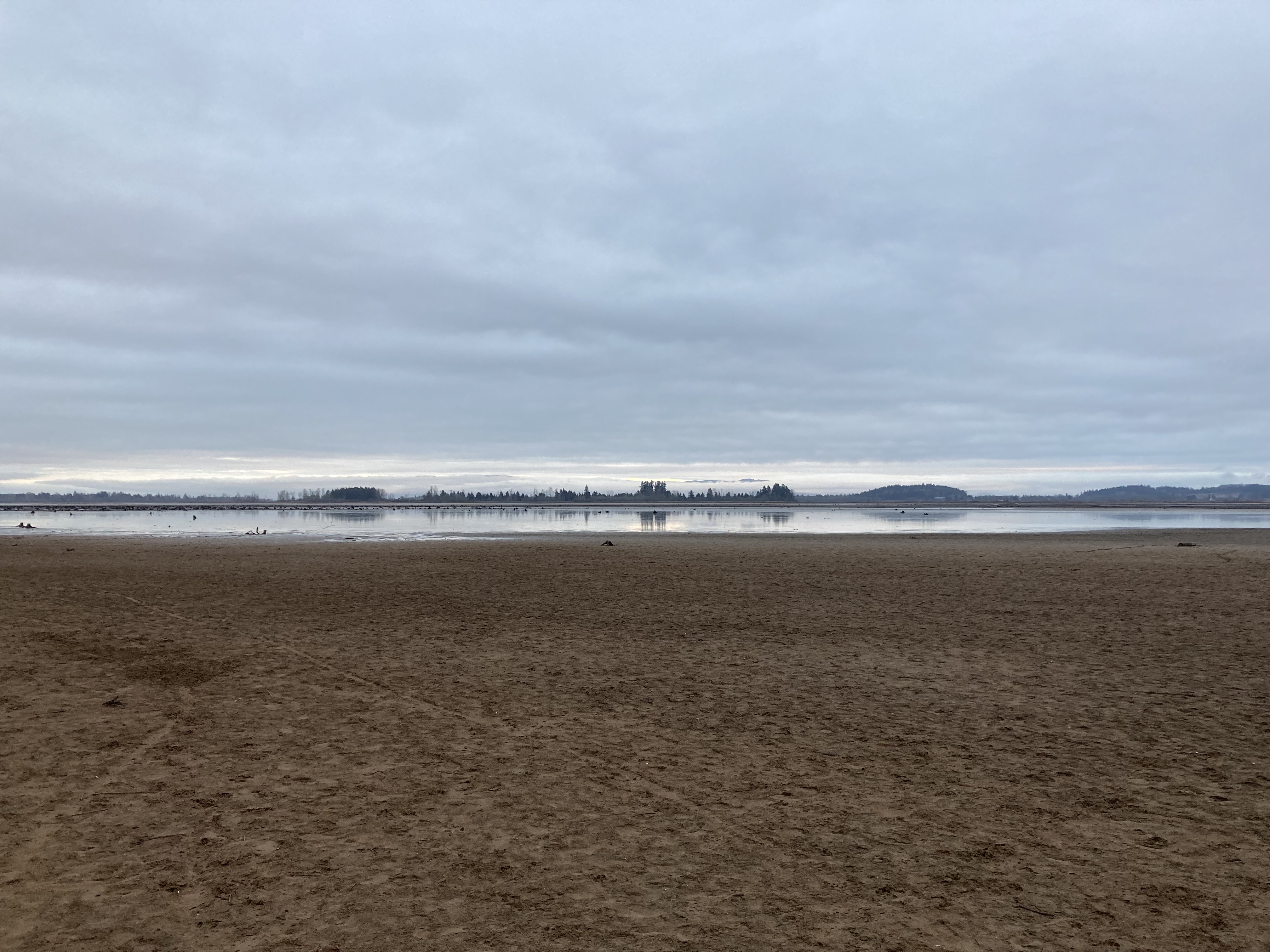
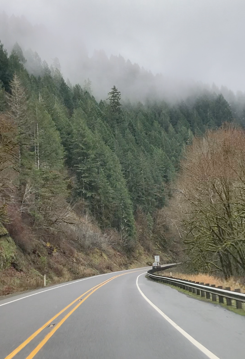
Then I continued driving towards the coast until I hit the 101 and turned south.
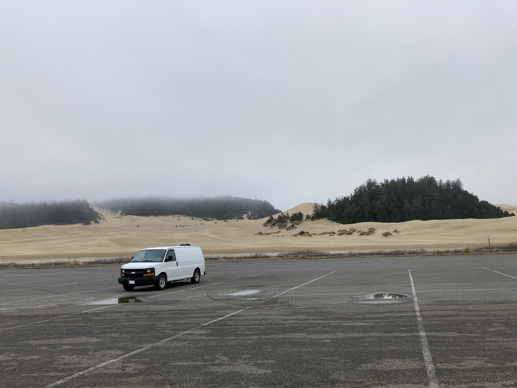
Oregon Dunes
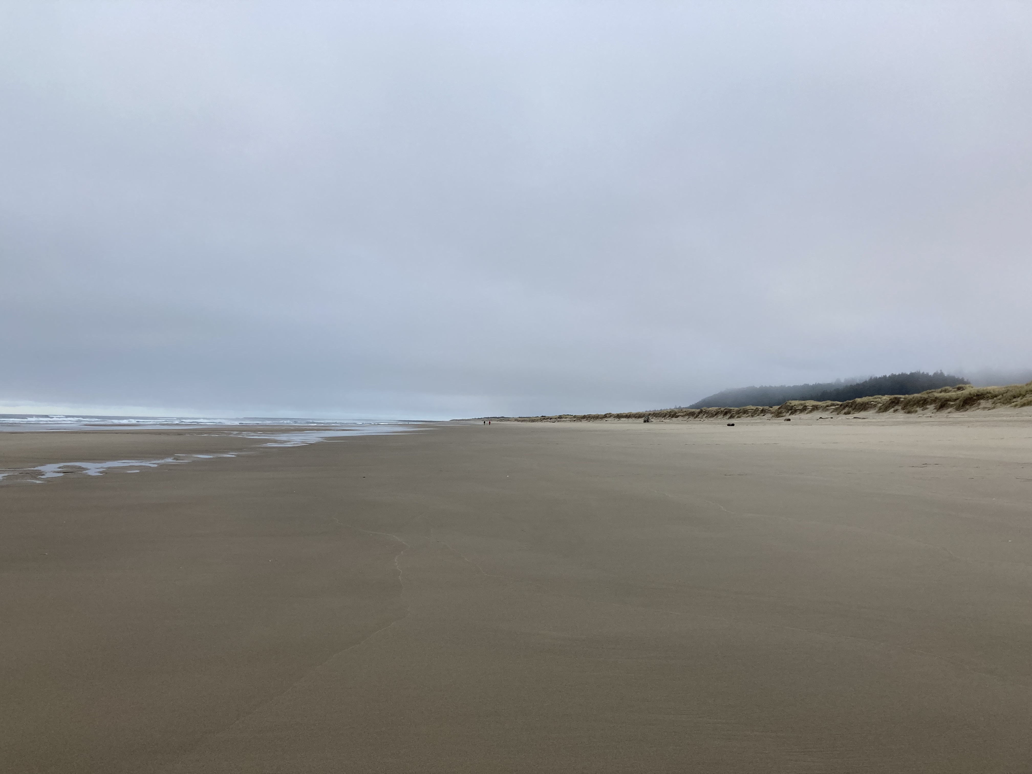
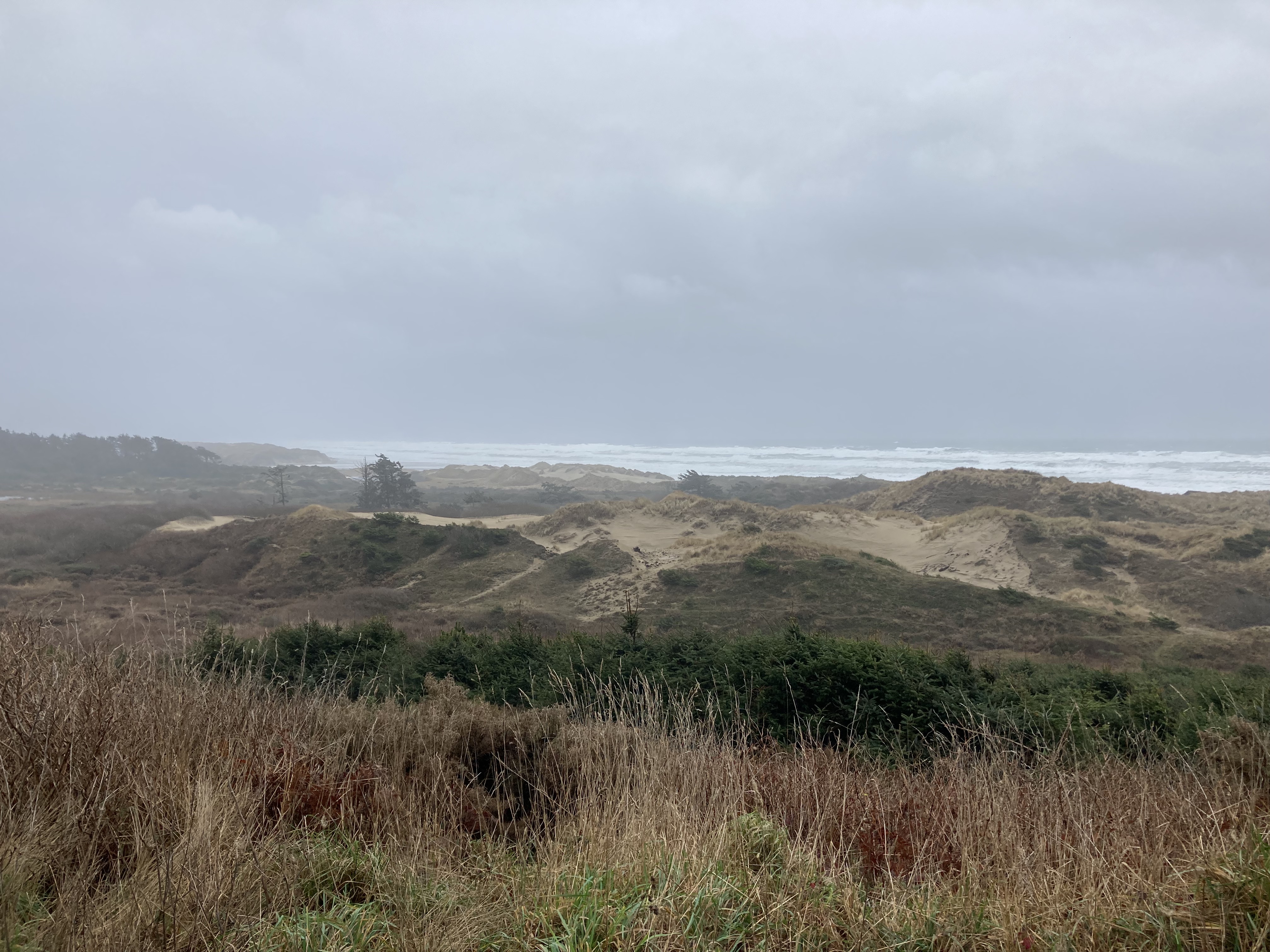
I drove about an hour and a half total, ending up at Umpqua Beach in Siuslaw National Forest, among Oregon’s sand dunes – 40 miles of dunes between Florence and Coos Bay. Had I known about it, I might have hit up the Oregon Dunes National Recreation Area Visitor Center and gift shop in Reedsport, just north of Umpqua Beach.
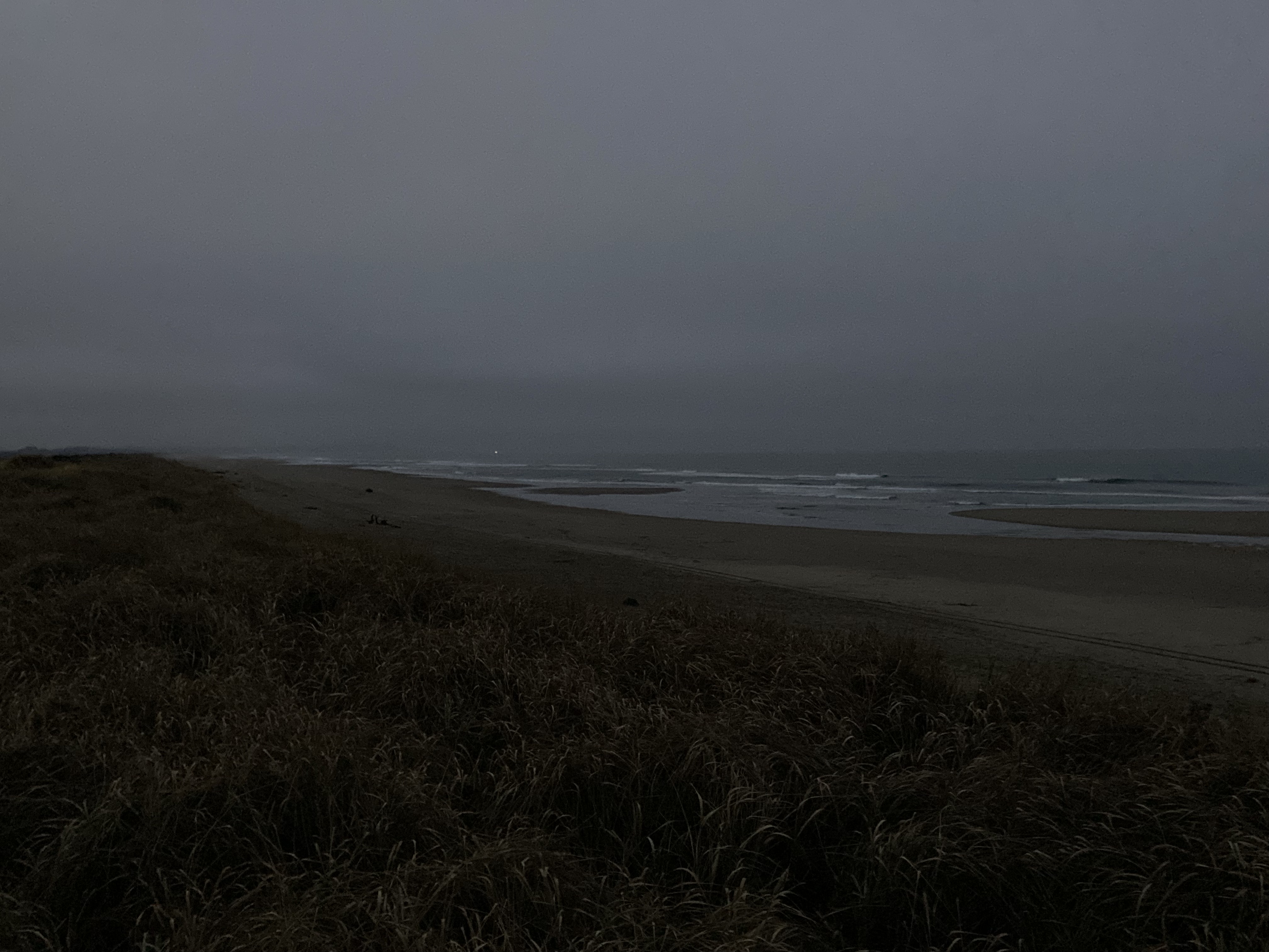
It was nice to take in the dunes and walk along the beach. While it was a foggy day, it was 8 degrees C, and I was acutely aware of how lucky I was to have such weather because it was at the same time -7 C in Seattle. The beach was huge and expansive, seemingly going on forever, and I can never get enough of ocean waves rolling in.
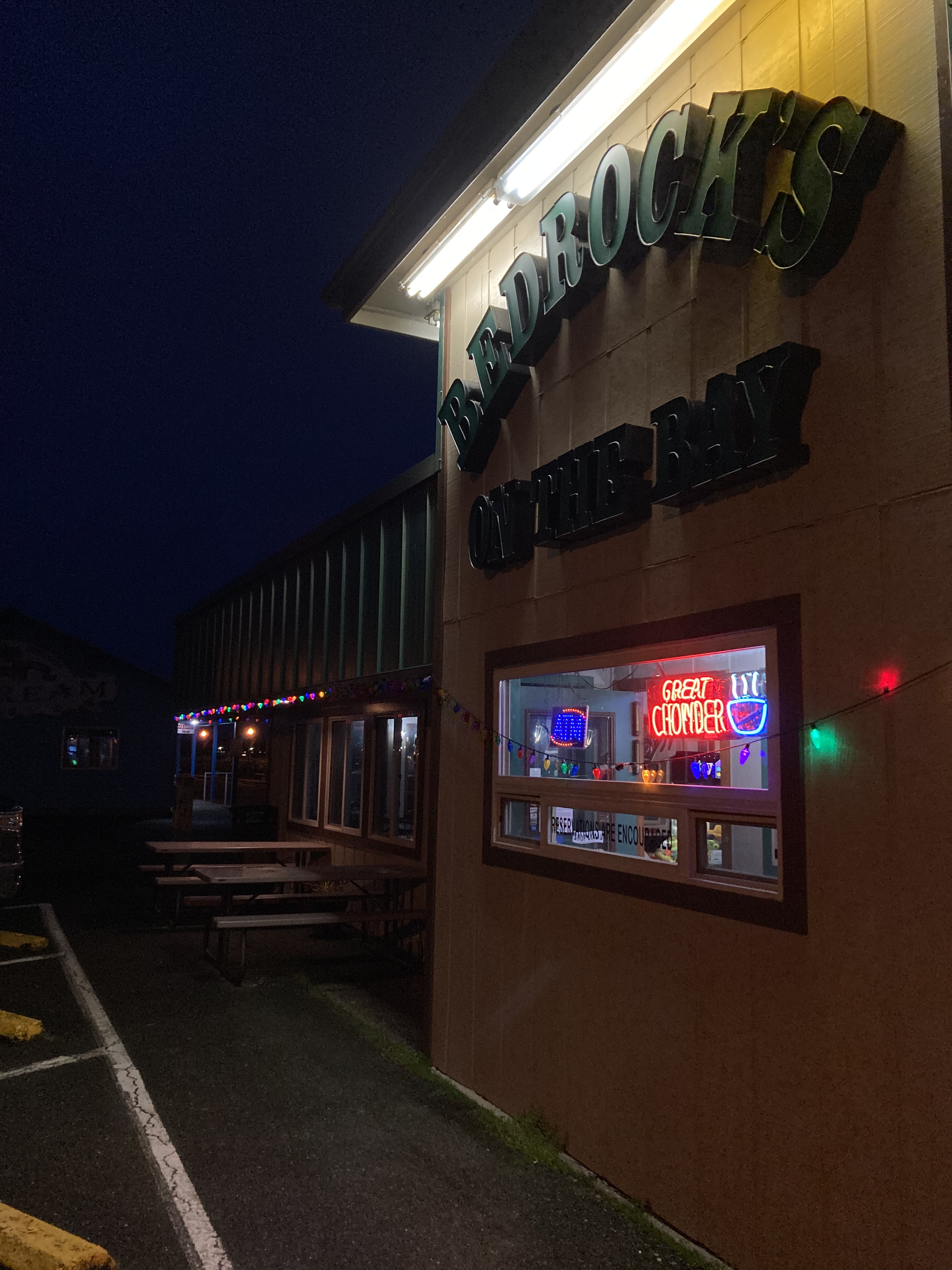
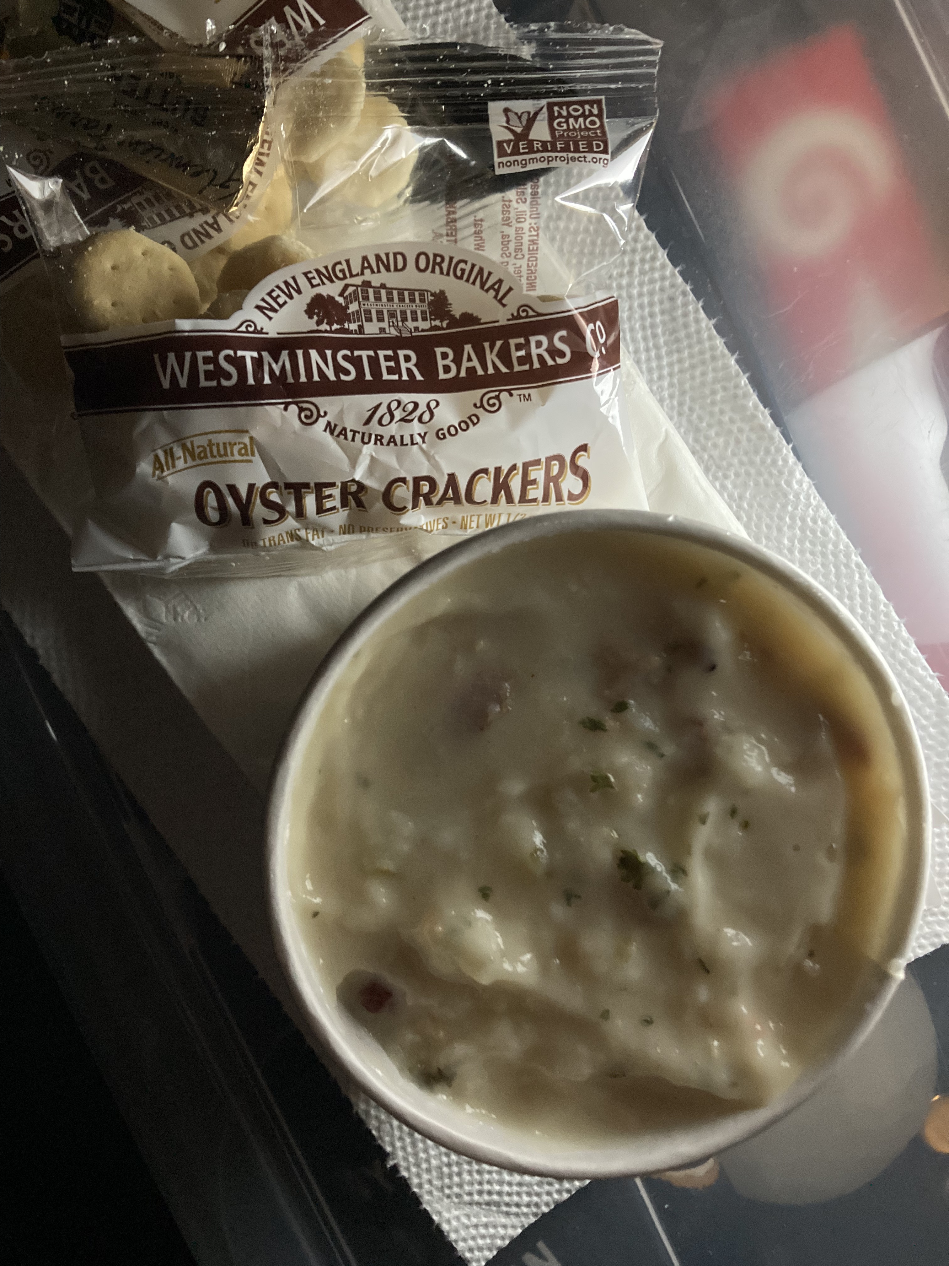
As evening loomed I drove up to Winchester Bay and found a seaside spot to grab some local chowder for dinner.
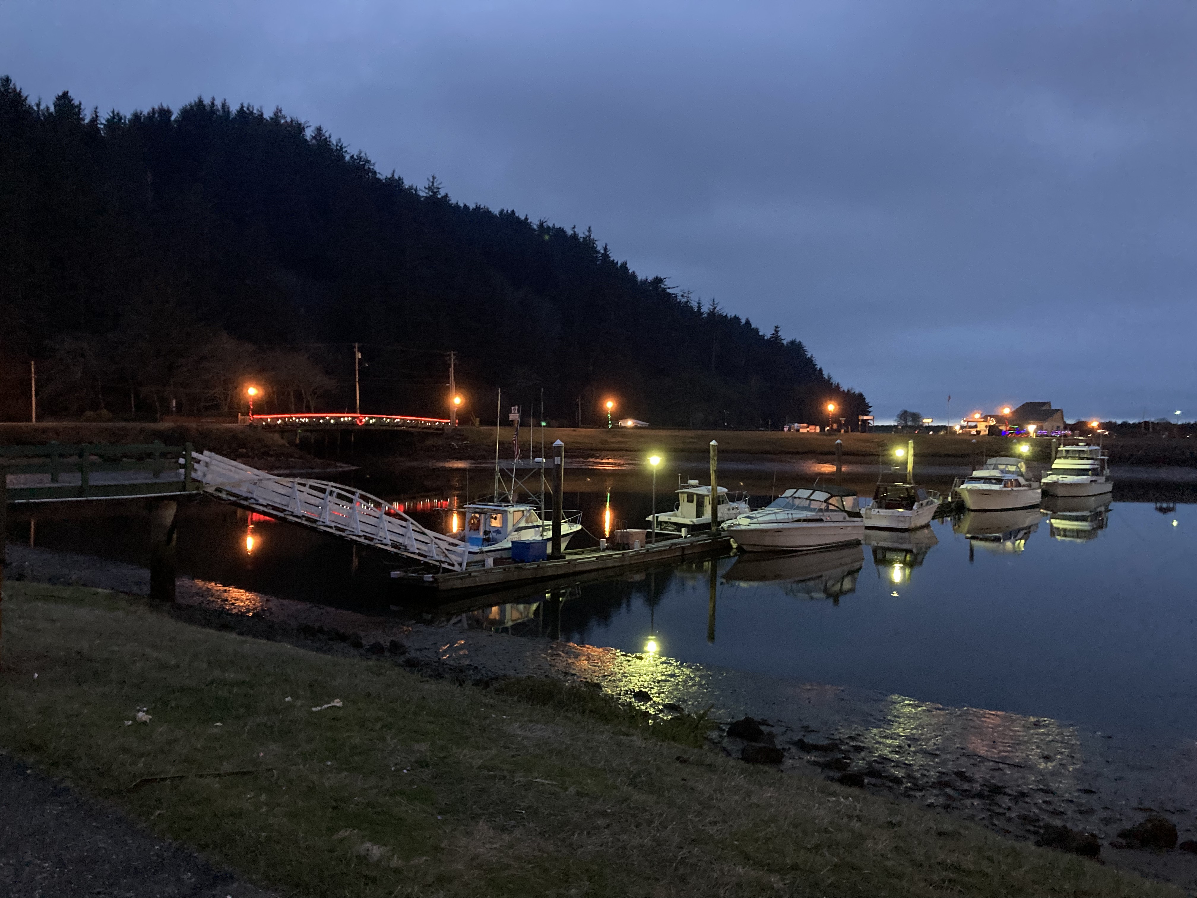
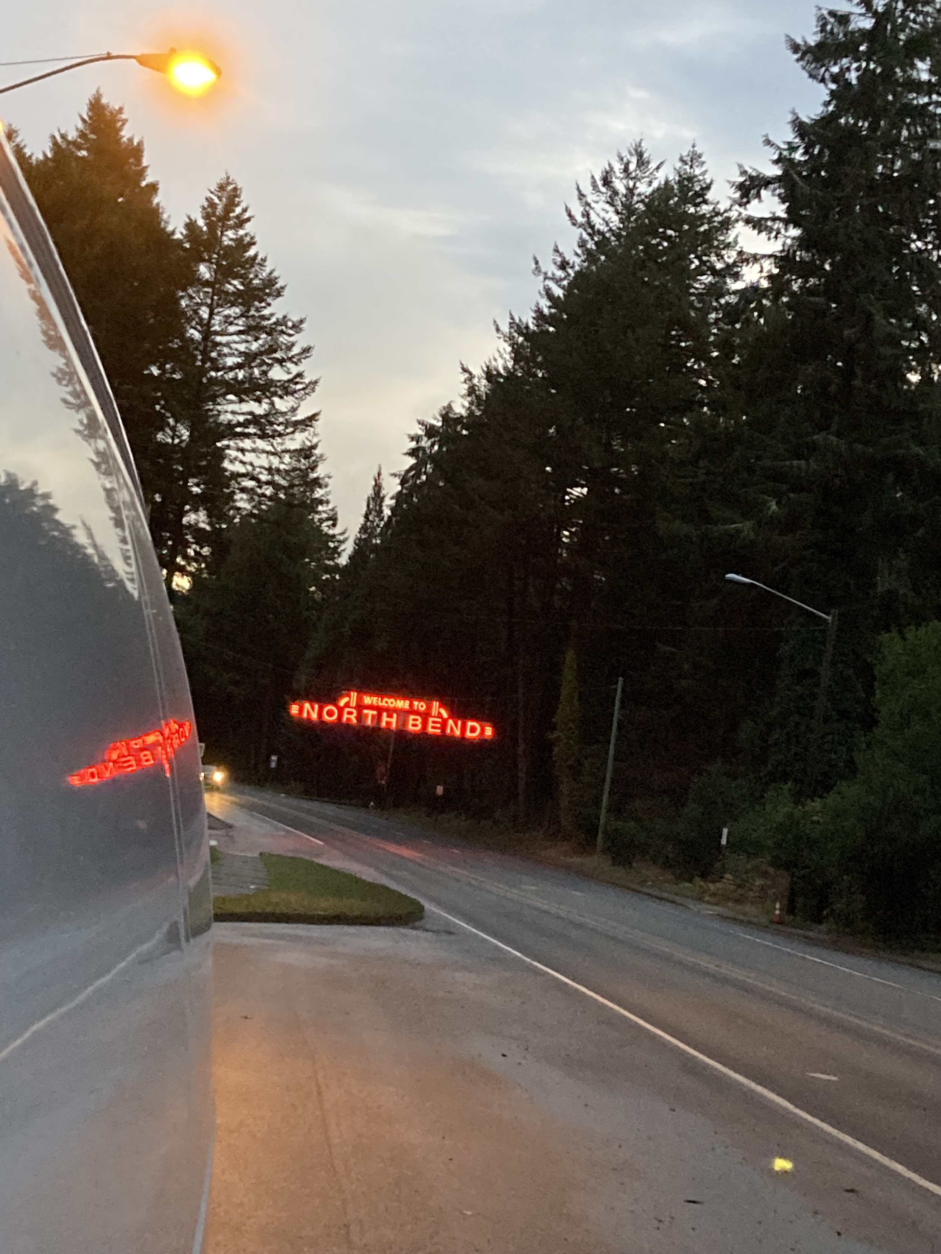
Scouting overnight spots nearby I ended up street parking in North Bend, 20 minutes south of Winchester Bay. This led to subsequent exploration of the North Bend and Coos Bay area.
I was told by a Walmart in Coos Bay that they did not allow overnight parking and it was suggested that street parking in North Bend was allowed. I looked into it and found that North Bend allowed 72hr parking on city streets. The guy from Walmart said that even though they don’t permit overnight parking, most times “the city won’t notice if you’re not causing a problem” – which I would say goes for many rules being bent. He also suggested some areas to me, which I appreciated. But I’m a fan of vetting things yourself.
Coos Bay – North Bend
It was hard to believe that this was winter, as the forecast was showing temperature highs in the mid-teens (C) and overnight temperatures from 8-11 degrees C. This was downright balmy to someone who’d been hacking it for months through the Canadian rockies and Vancouver/ Victoria areas. I didn’t care that there was rain and cloud – I was just so happy for a break from the bitter cold.
I did a bit of exploring on the little peninsula across the water and west of North Bend, which also encompasses the southern area of dunes.
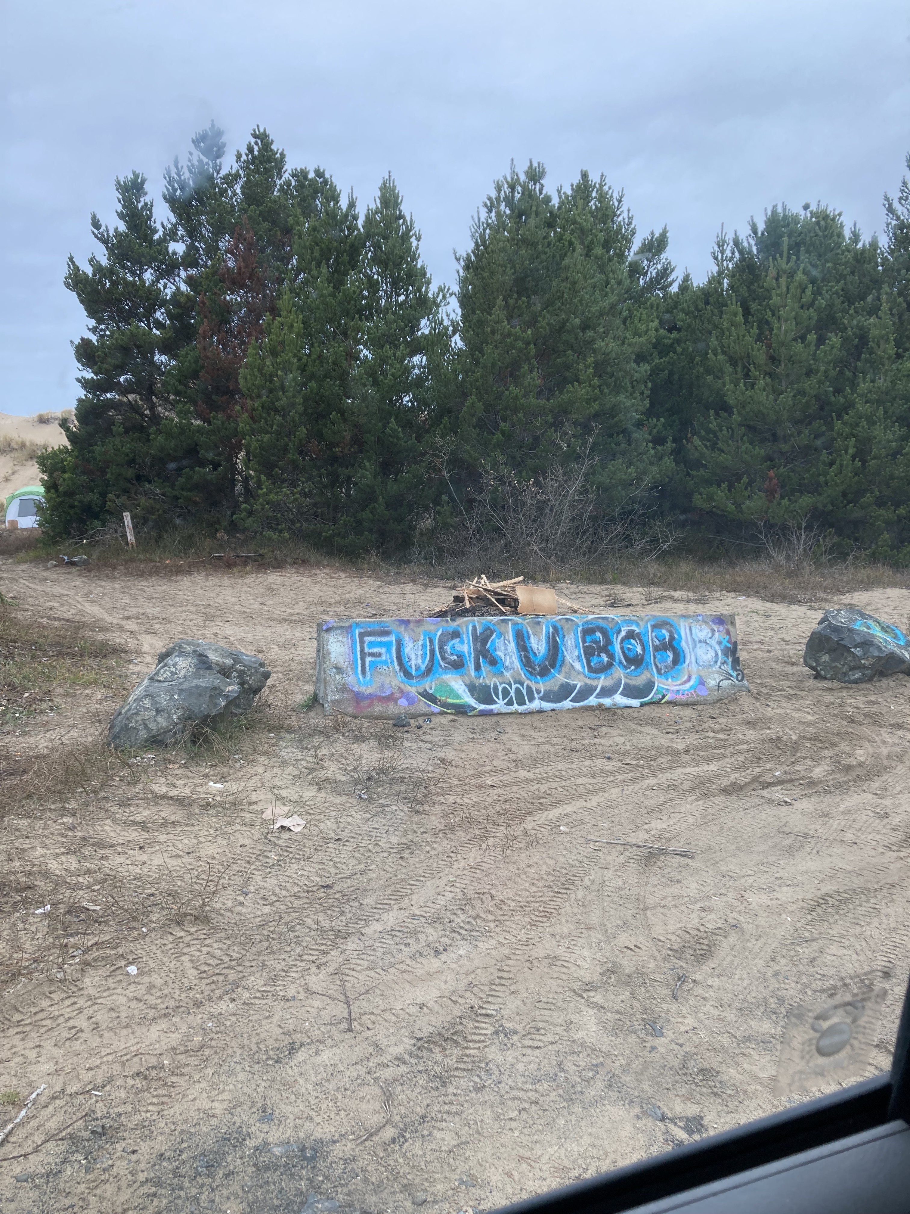
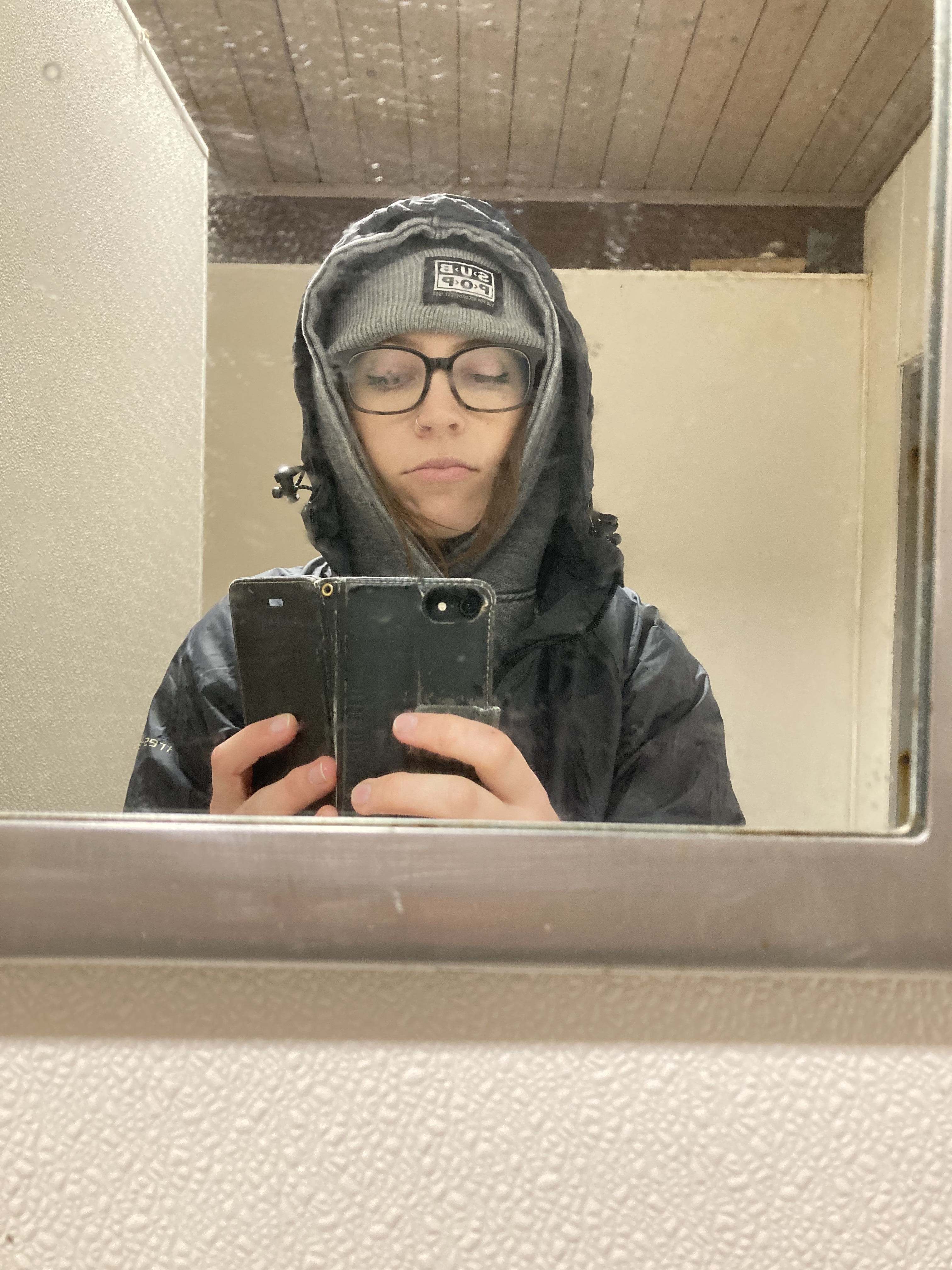
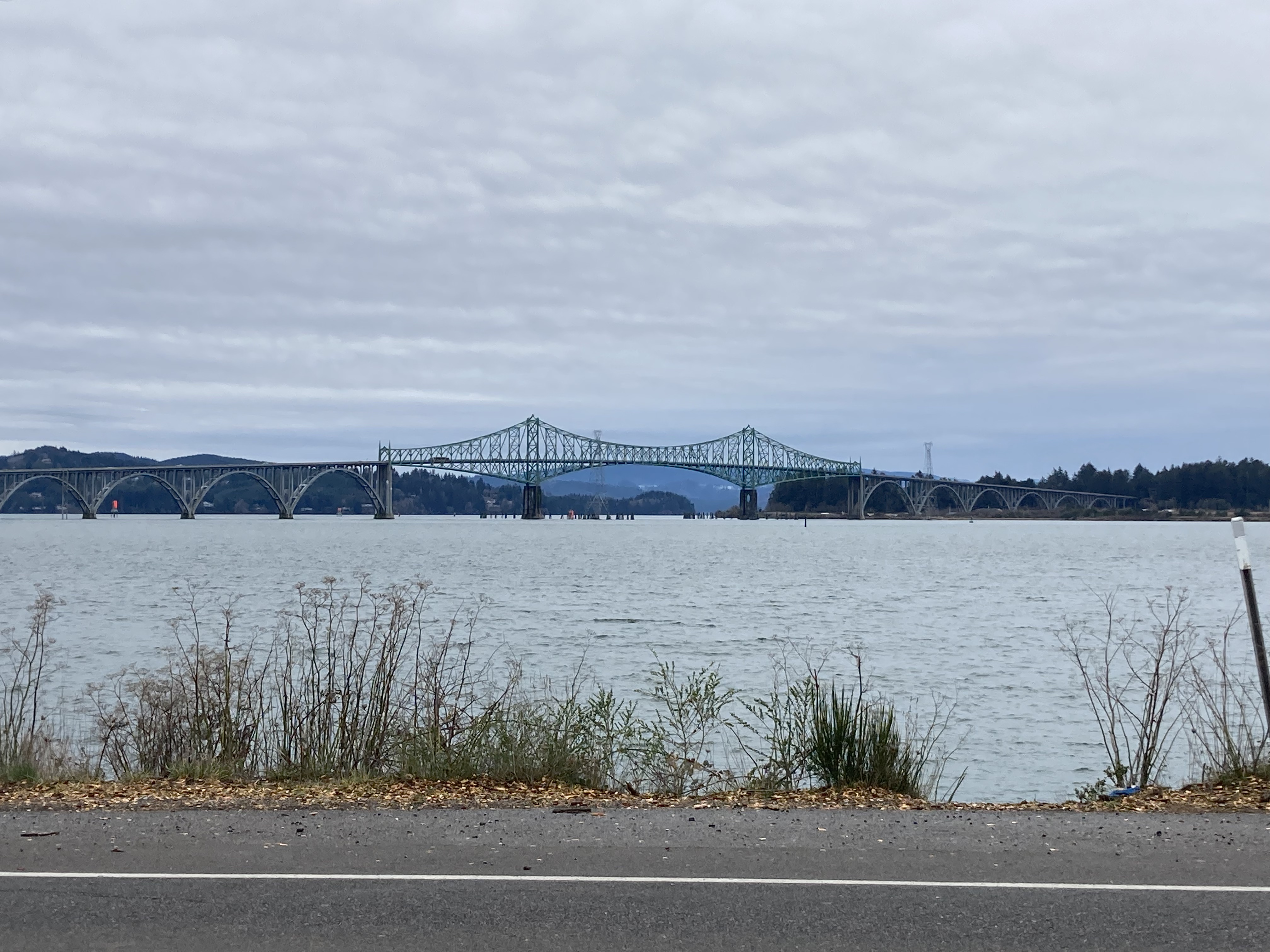
The next day I walked around Coos Bay. North Bend is just a 5 minute drive north of Coos Bay, and both are located on the Coos Bay water inlet on the the central Oregon coast. North Bend has a population of a little over 10,000 people and Coos Bay has a population of almost 16,000 – making it the largest city on the Oregon coast. Fun Fact: Coos Bay is the birthplace of runner Steve Prefontaine.
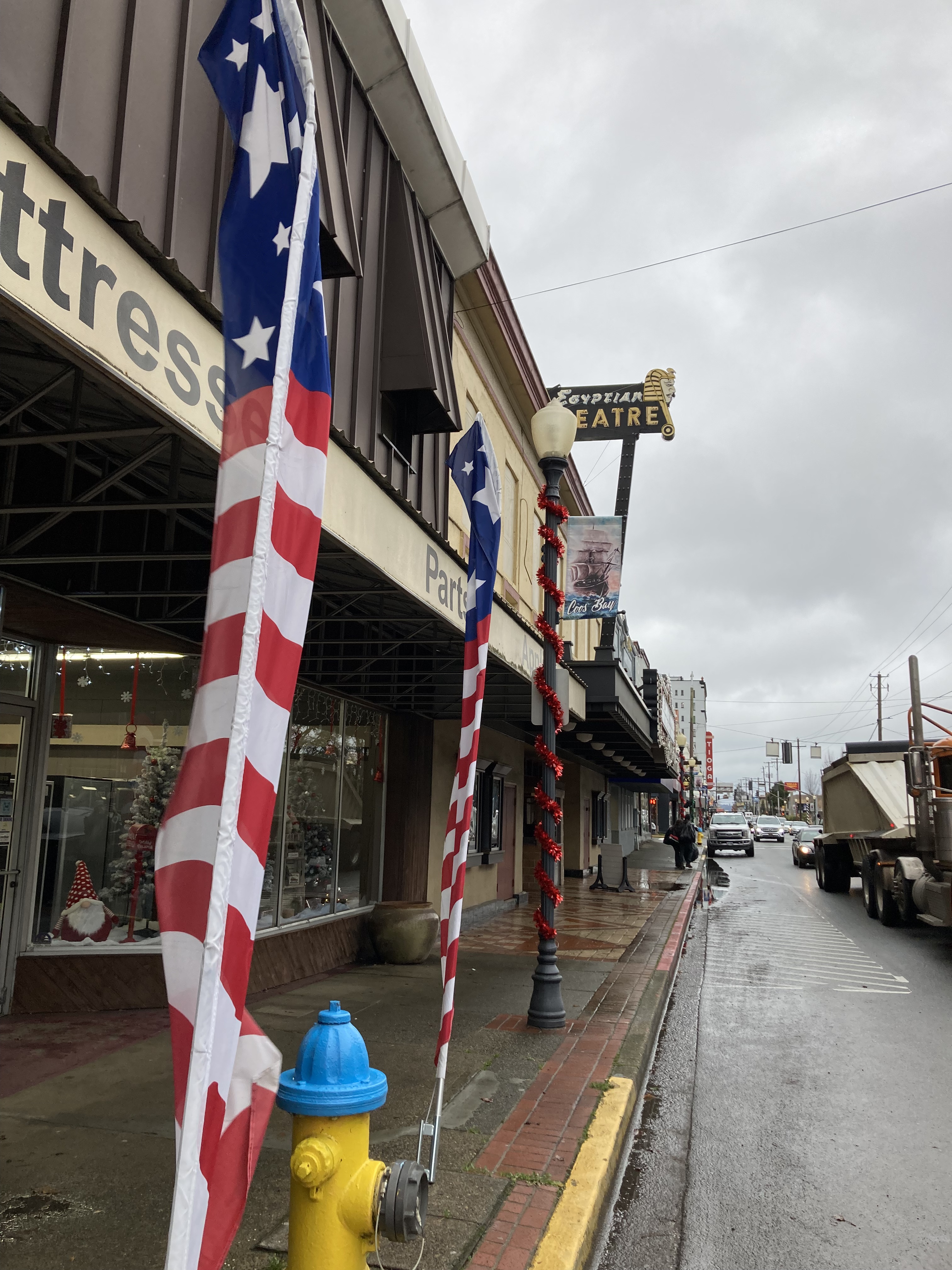
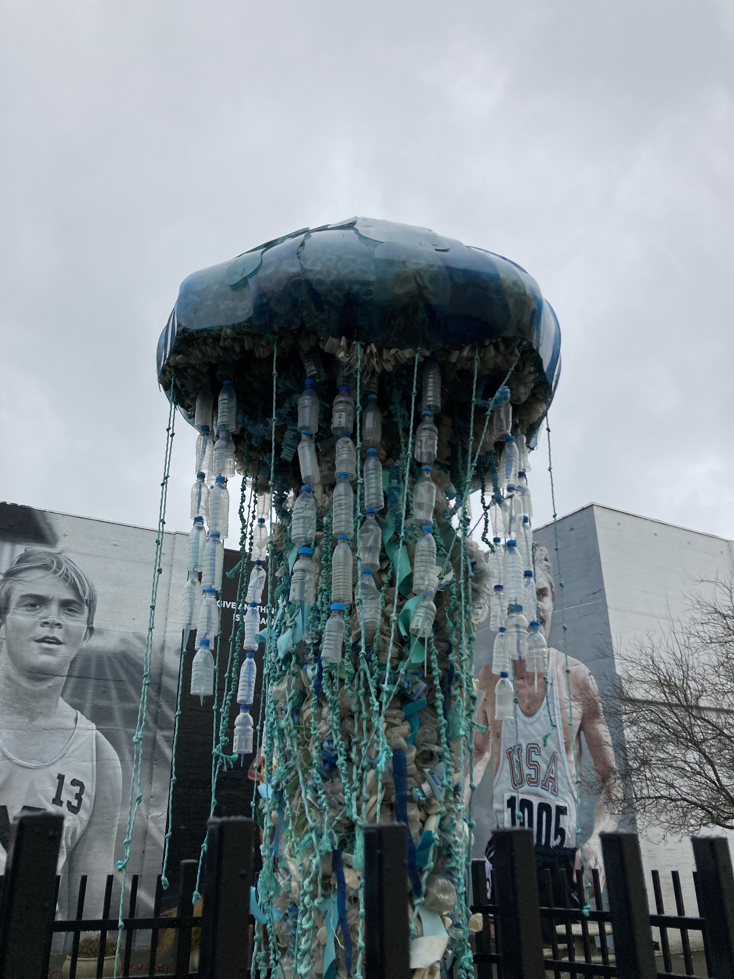
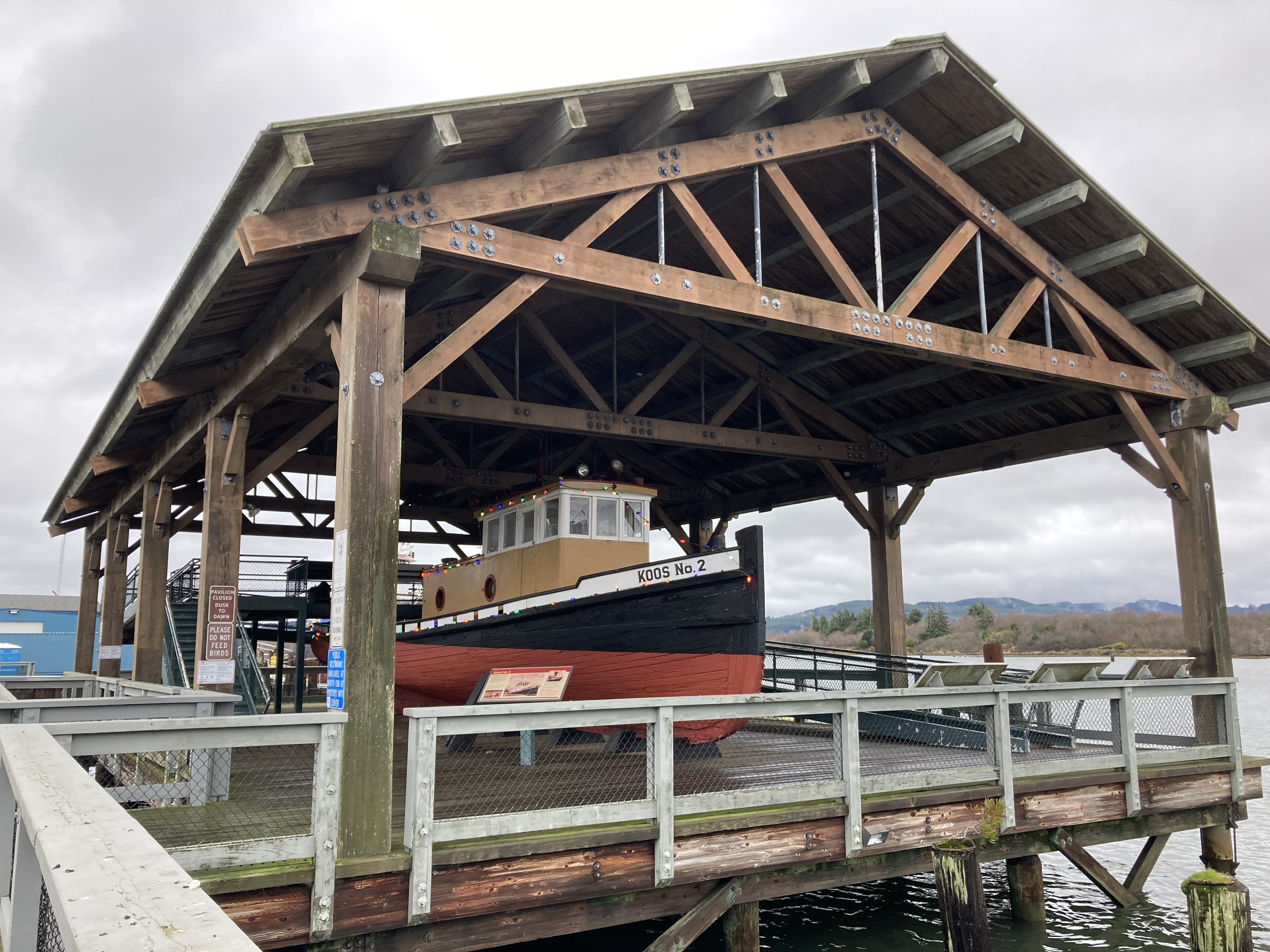
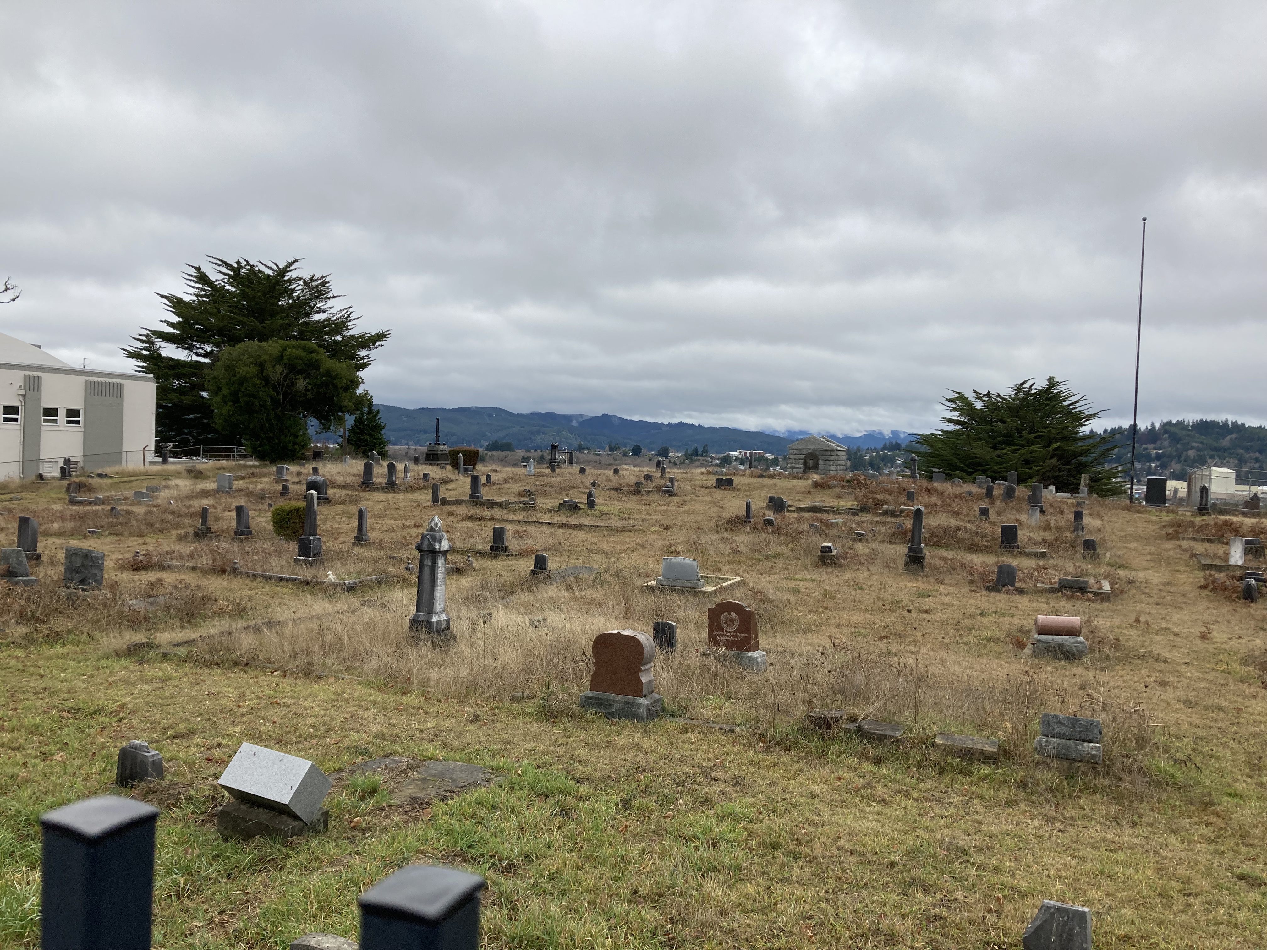
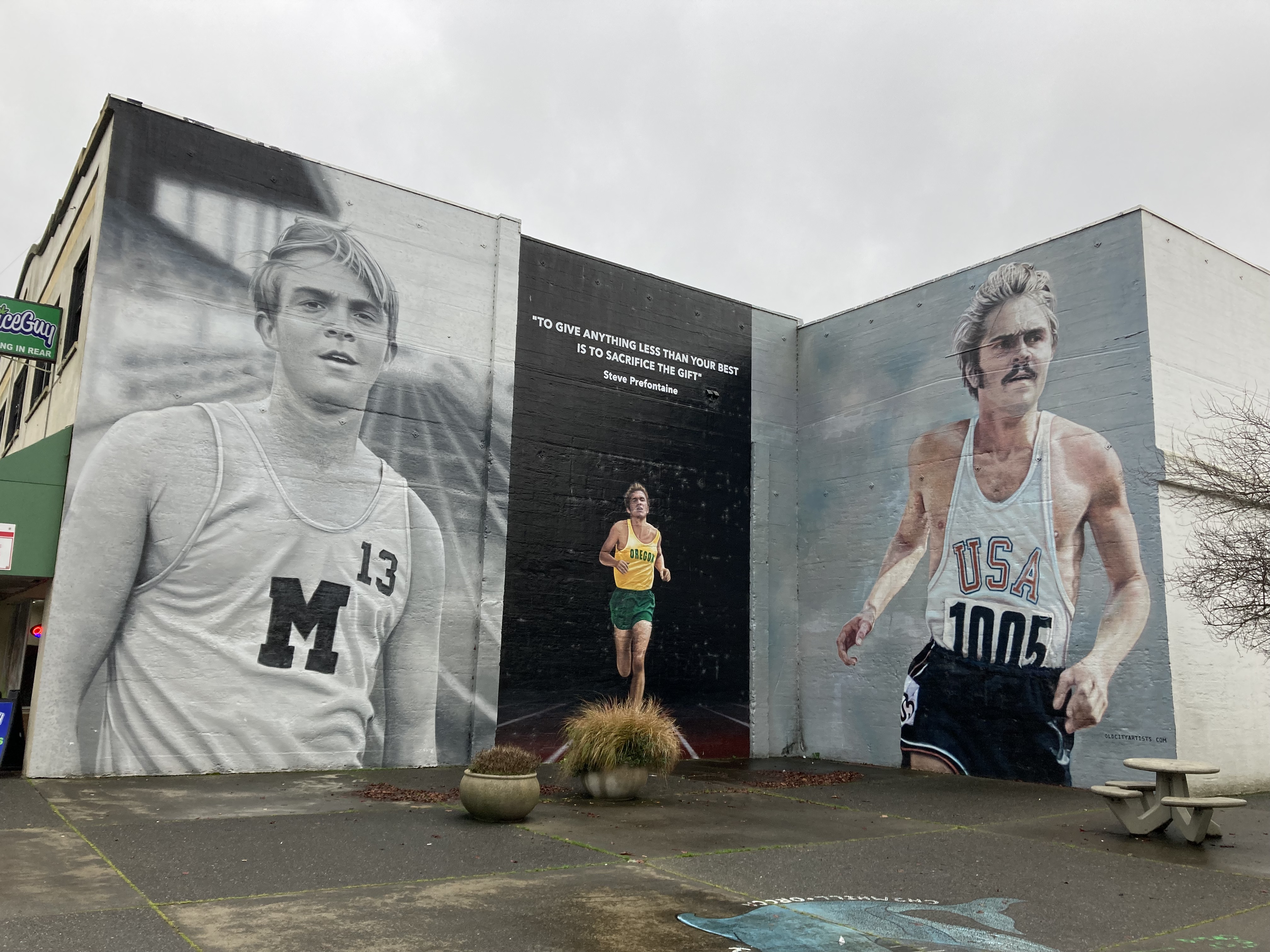
I walked around the downtown area of Coos Bay and along the Coos Bay Boardwalk on the water. I took in the Prefontaine Murals and walked by the Egyptian Theatre, as well as an apartment building called The Chandler which made me think of the TV show Friends. I wanted to explore Old Marshfield Pioneer Cemetery, and while I did walk by it, I didn’t go into the grounds, as the gate was locked. Turns out, you need to visit the Coos Bay Visitor Center to get the gate code.
That afternoon I drove southwest from Coos Bay (half hour total one way) on Cape Arago Highway, which takes you through Sunset Bay State Park, Shore Acres State Park, and Cape Arago State Park.
My first stop was Sunset Bay Beach. I walked along the wet sand where a river was flowing into the ocean and over to a rocky area where there were tidepools. It’s a semi-small beach in a small bay.
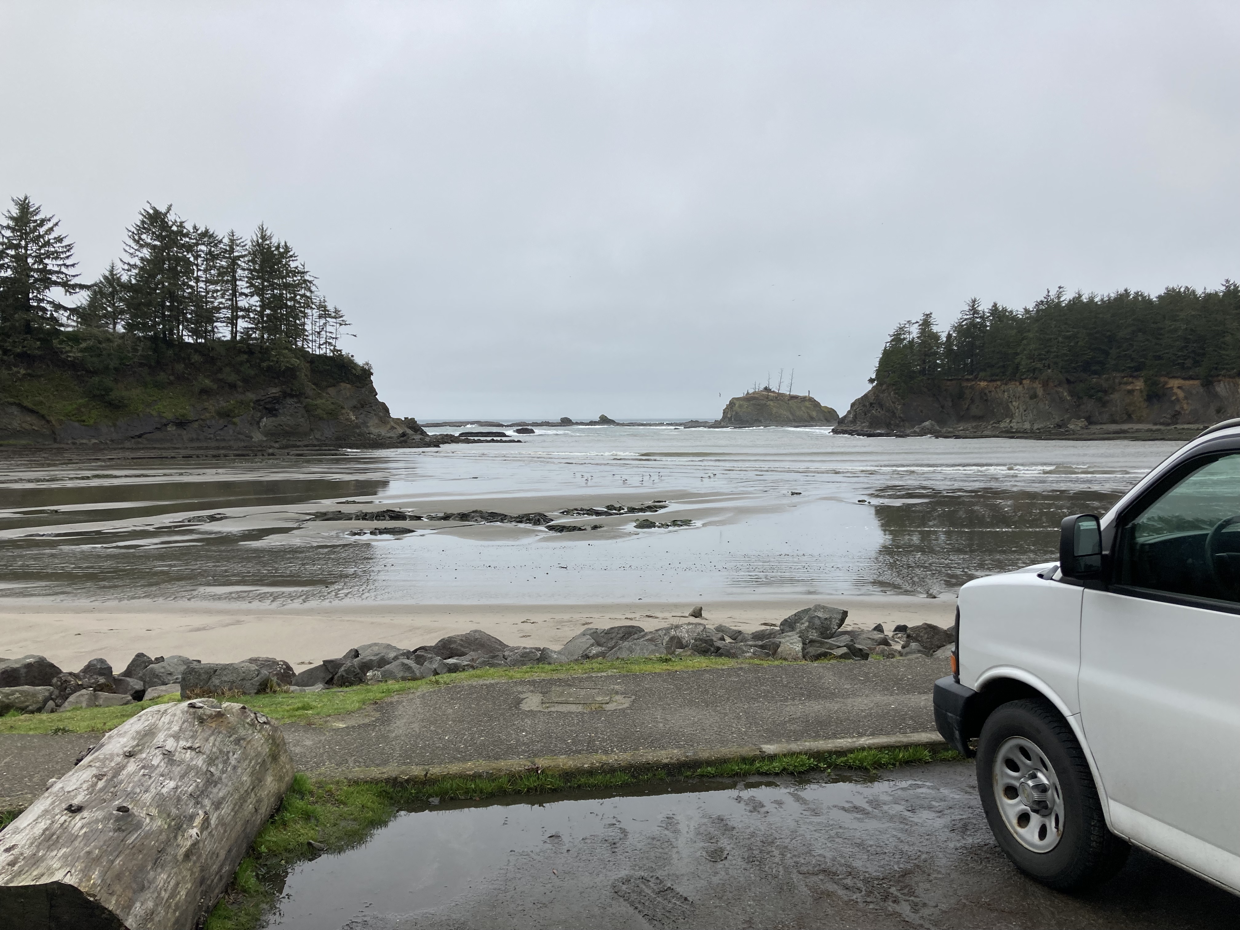
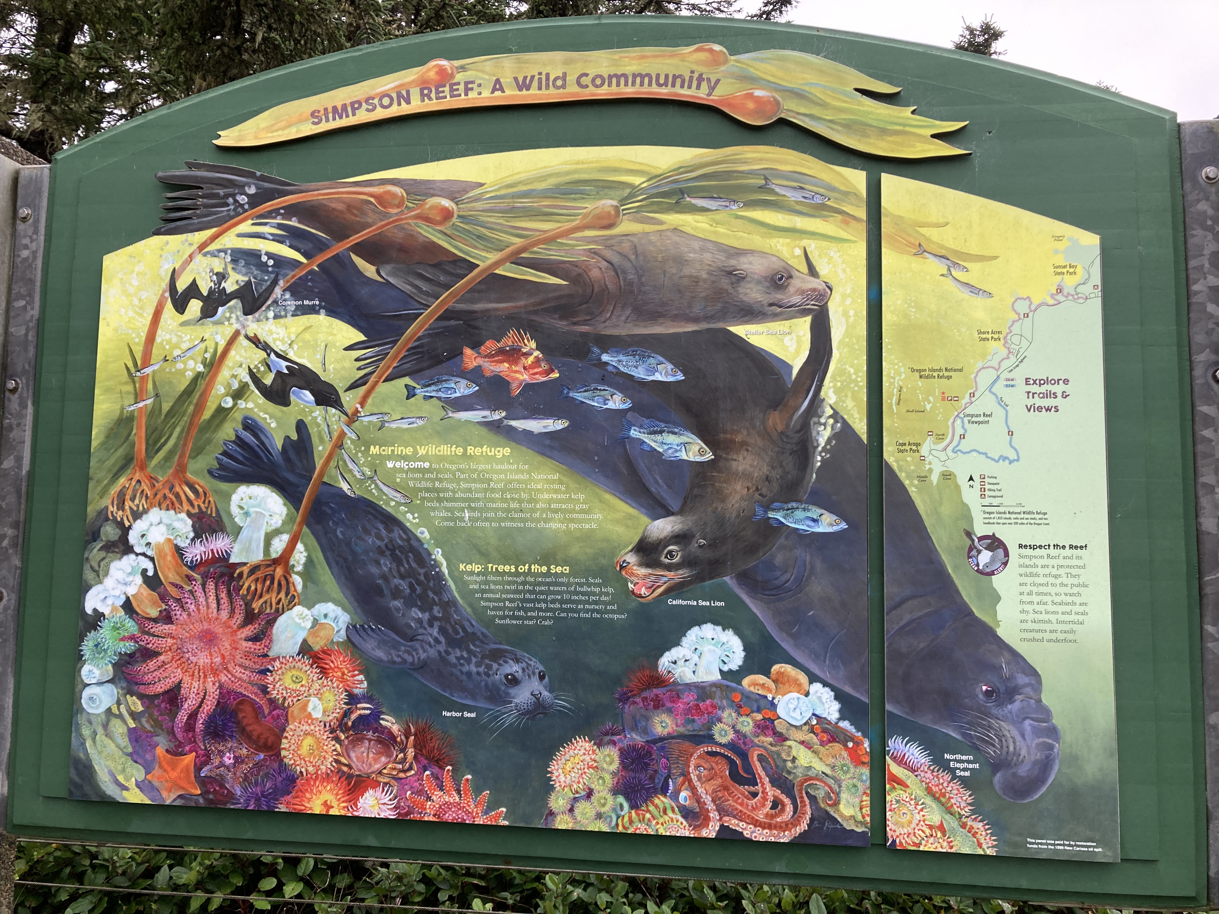
I didn’t actually go to Shore Acres (sandstone cliffs, timber baron estate, gardens, a trail down to Simpson Beach, and gift centre), but pulled off the highway at a viewpoint between Shore Acres and Cape Arago State Parks. There was a little island just off the coast where a bunch of sea lions were gathered on a sandy patch of real estate. I remember the sign that was here well, as it became my reference for learning the visual differences between harbour seals, sea lions, and elephant seals as I later continued down the California coast.
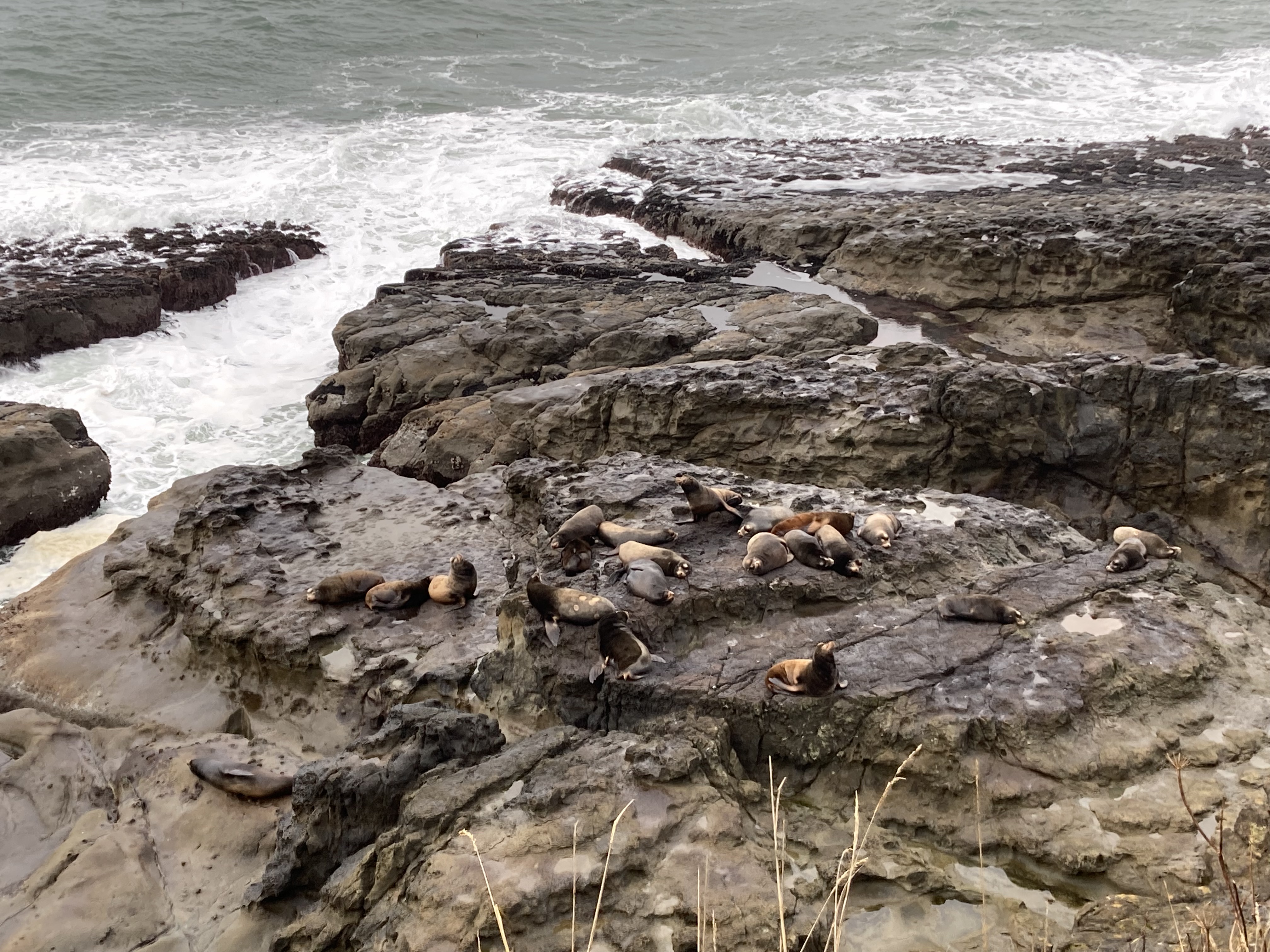
Cape Arago was a treat, as there was a little trail that came out at an overlook, and just below was another gathering of sea lions. This was the closest I’d been so far to sea lions and they were very vocal. Some were restless, flopping around, while others slept. It was throughly enjoyable to witness.
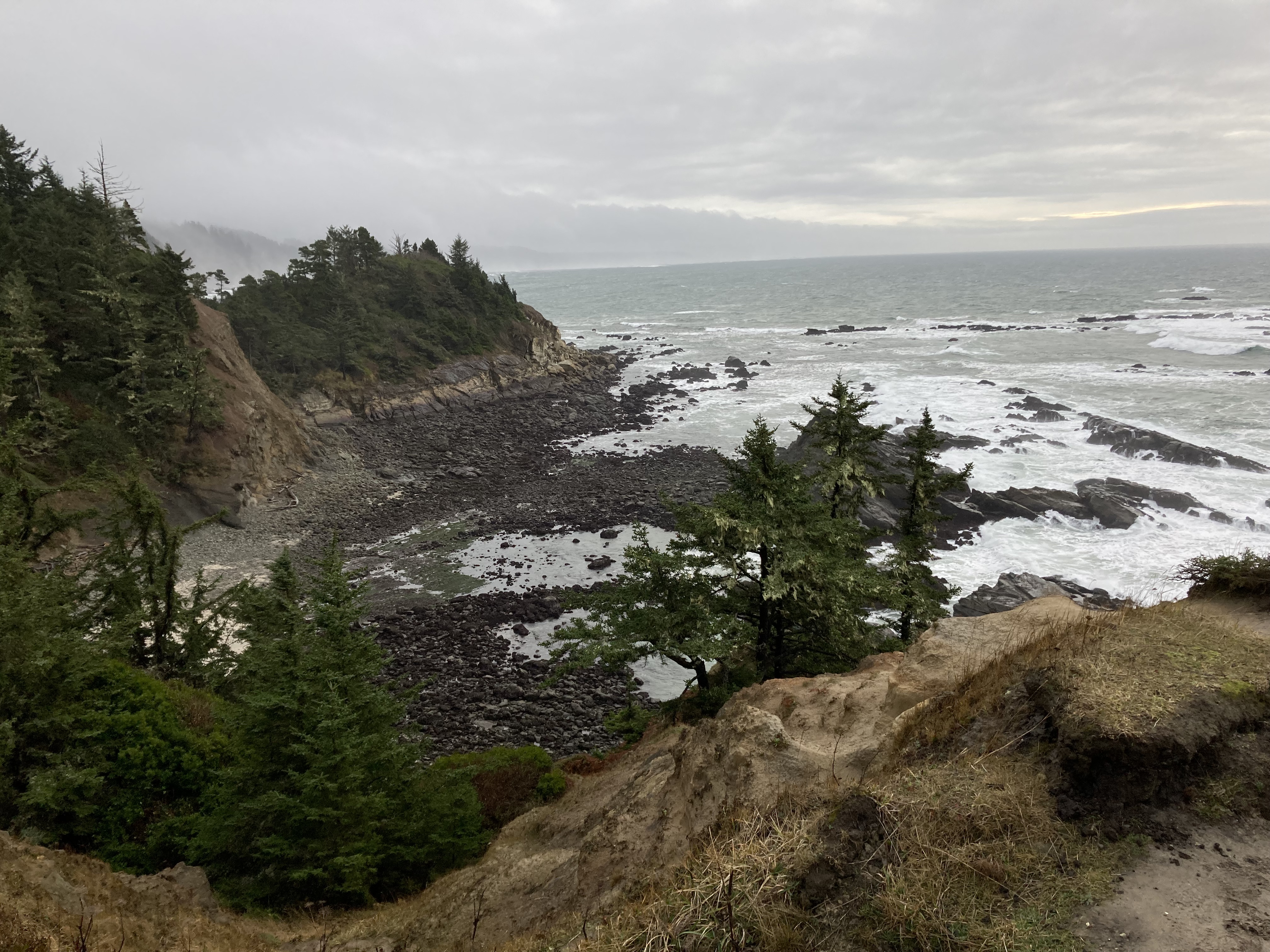
The weather wasn’t very nice so I didn’t explore the trails here extensively, but I got some good views of rugged coastline.
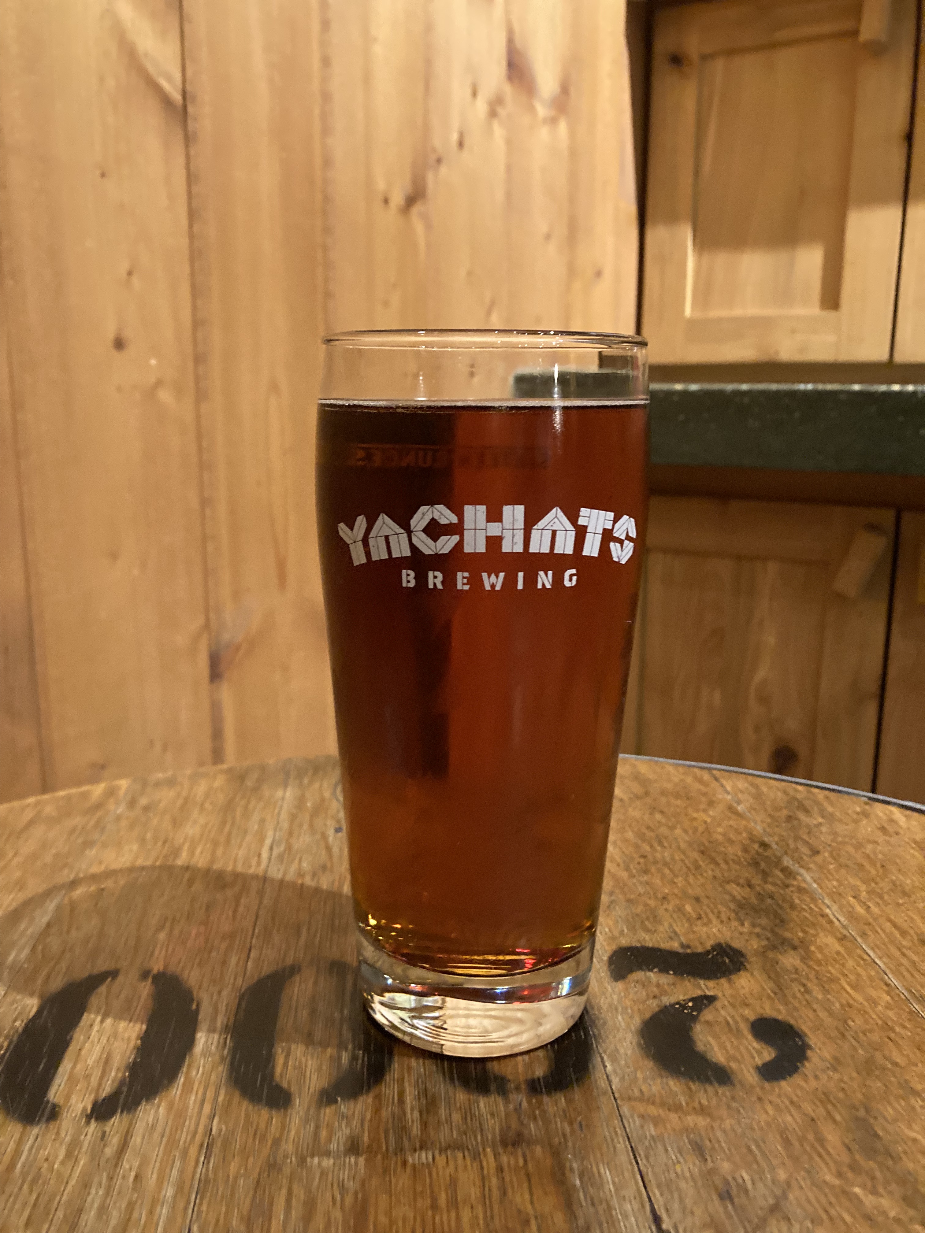
I headed back to North Bend, passing through for the last time and making a pit stop to decide where I was going next. Then I drove about an hour and a half north along the coast (101) to Yachats, as some friends had recommended Yachats Brewery to me.
Rolling With The Punches
It was on this drive that I started to notice some vibration while driving the van. Not a welcome occurrence, especially when I had just had a major repair done a couple of weeks prior in Vancouver. It was Christmas at this point, but I was able to make an appointment at a Chevy dealership in Eugene for a few days later. I hunkered down and waited it out on the coast, monitoring the van and doing the least amount of driving possible until the appointment.
I had a hard shifting of the van one morning, but it seemed to be a one-off that was maybe just from a cold start, or so I was advised.
I then found white mold in the van. Because the universe was clearly testing me. Not as bad as black mold, but not pleasant. And not surprising, as winter on the coast is a prime recipe for condensation. At this point I’d spent a couple of months in cold weather, heating the inside of the van, being a human giving off moisture, in a cold and wet environment. I’d been keeping an eye on some wet spots I’d noticed, especially on the wheel wells and back door trim, where the metal van body was either only covered with reflectix (which needs an air gap), or was bare. I had burlap lining some metal trim areas (purely for looks), and I noticed the burlap was wet at the bottom. Each morning I stuck some paper towel into the crevices between the wall panels and flooring, and I periodically sprayed the burlap with Concrobium. I felt I had done a pretty good job at sealing the floor trim, so I wasn’t too concerned about water getting under the floors. This is why having a wood stove or diesel heater would have been great, with their dry heat. What I really needed was warmer weather, dry conditions, and better ventilation. I was doing my best by keeping the MaxxFan open and front window cracked at night for air flow, and running the van’s heat on recirculation mode, which takes moisture out of the van and does not introduce moisture from outside air.
I found a little turn out off the winding coastal highway south of Yachats and it became an enjoyable overnight spot for the next few nights while I laid low during Christmas Eve and Day, waited for my appointment with the mechanic, monitored the van, and explored the area.
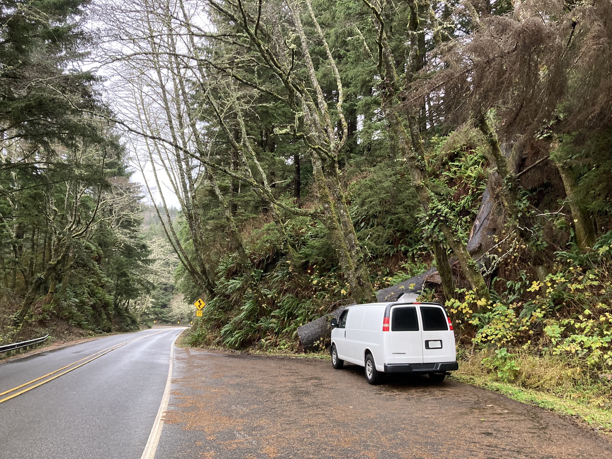
While I was pretty stressed at this point, the silver lining was that I really enjoyed this location. Looking back as I write this, I don’t remember this point in time for the stressed feeling, I remember the good parts. I remember that I eventually got the repairs I needed and largely did not have any more big issues with the van for the rest of my travels (*knock on wood). I remember that I kept the mold at bay and eventually got to warmer weather and drier climes. I remember how warm 10 degrees C felt after the chilly months of winter I’d spent in the van. I remember getting to spend the holidays hidden away in a remote coastal location – which might sound depressing to some, but I have a hard time during the holidays and at this point I was craving escape from them – and I got that wish. I remember beautiful coastline, raging winter waves, quintessential foggy and moody PNW scenery, and an overnight spot that felt like it was all my own – where I was never bothered or asked to move.
Yachats, Cape Perpetua, Devils Churn
Other than the brewery, I didn’t really explore Yachats. I spent my time a five minute drive south around Cape Perpetua and Devils Churn. I had my little highway 101 turnout for my overnights and there was a parking lot (with flush toilets!) at Devils Churn.
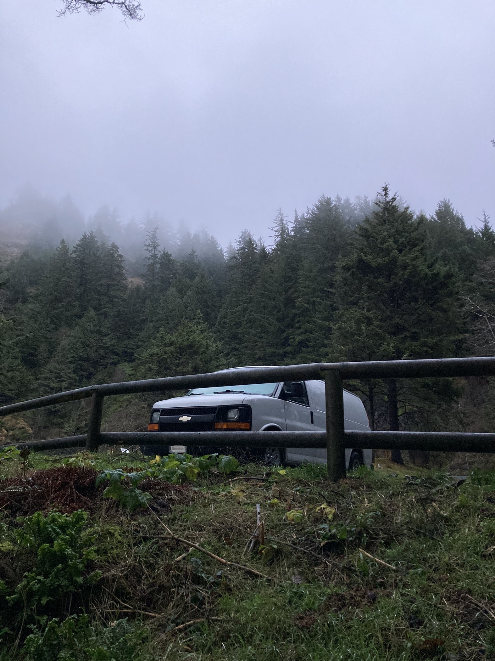
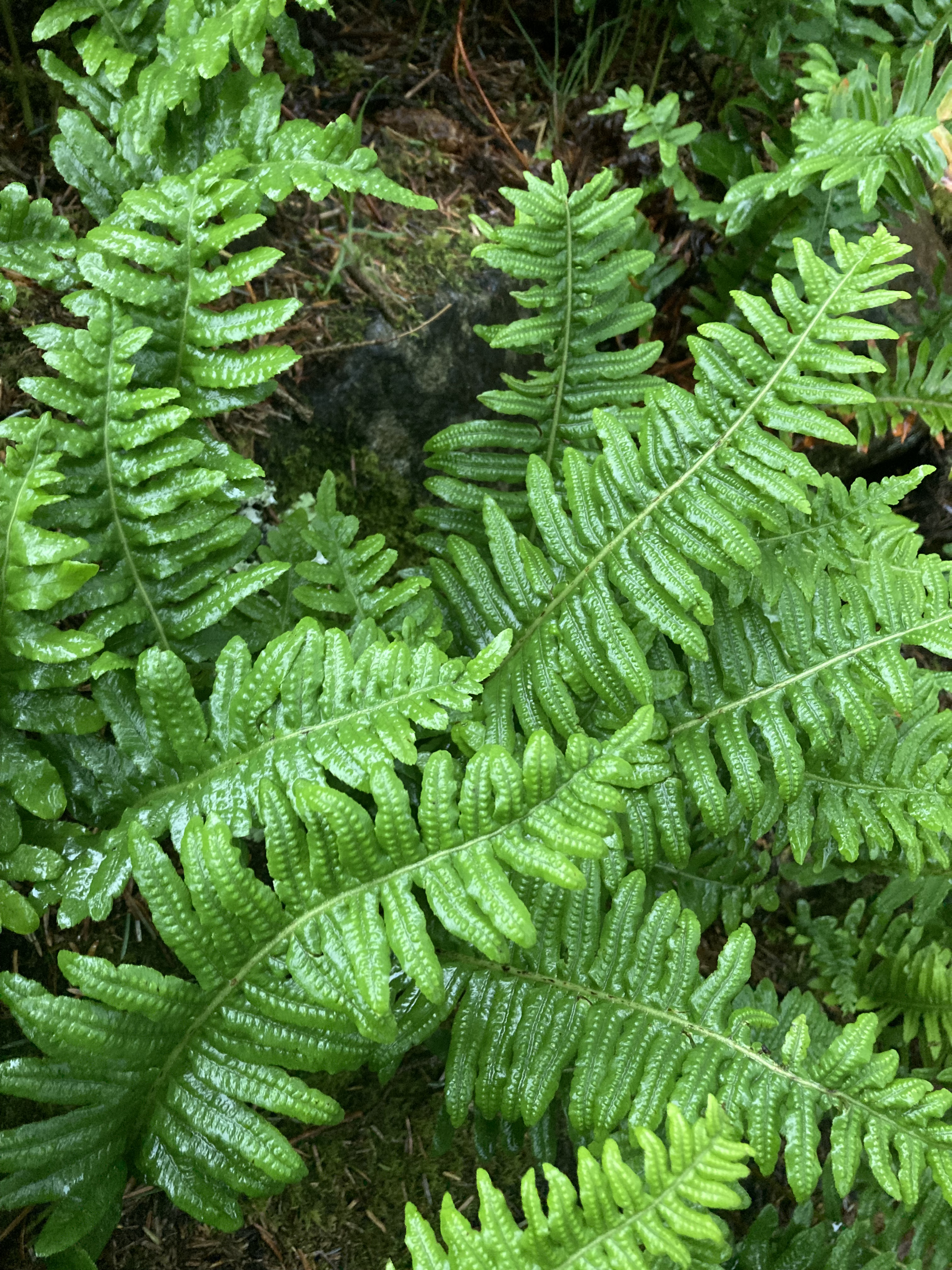
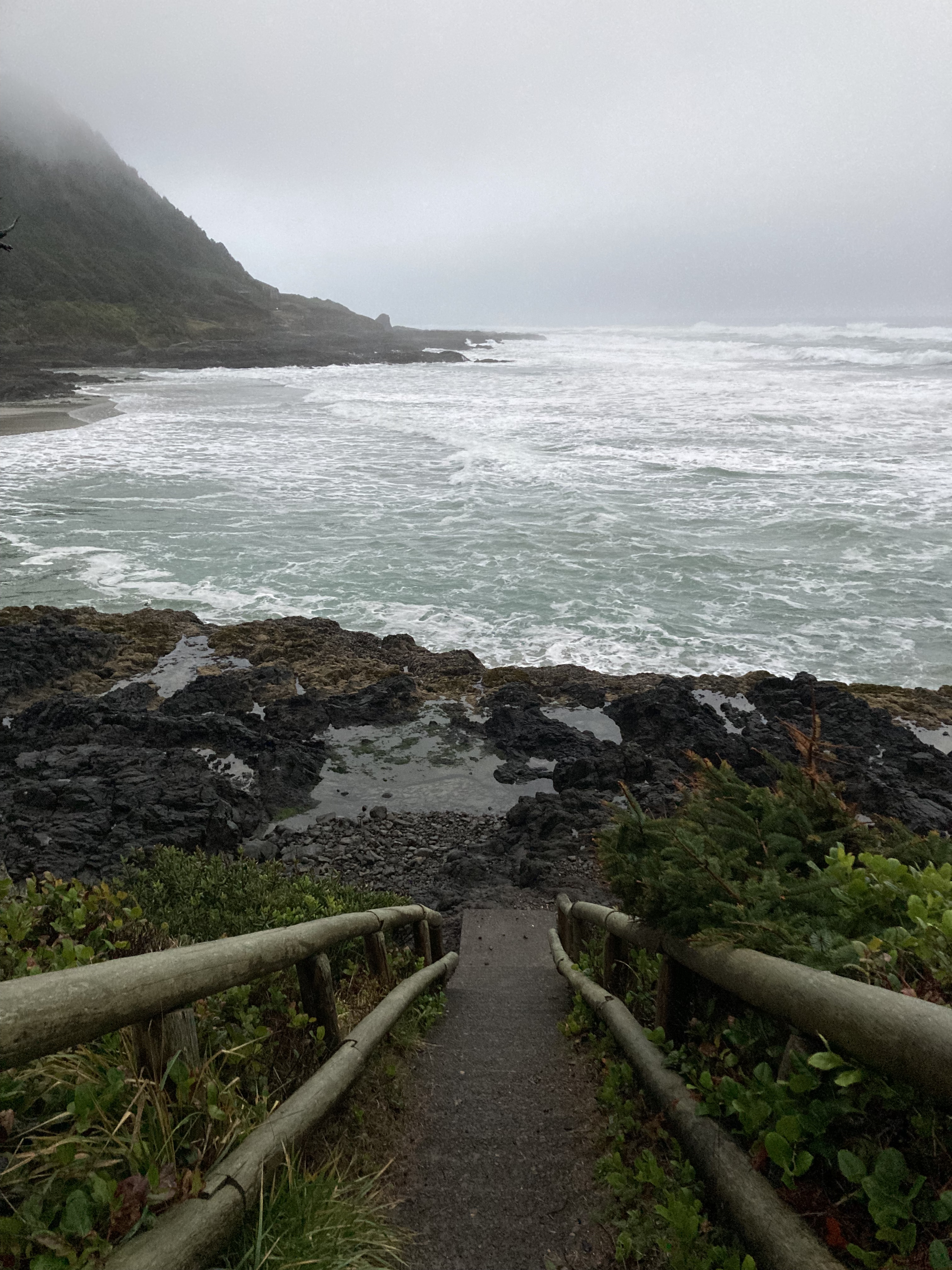
Cape Perpetua is a forested headland on the central Oregon coast featuring rugged coastline, wave action, old growth forest, and coastal fog. You can check out Cape Perpetua Overlook Day Use Area, which is the highest viewpoint accessible by car on the Oregon coast. From here are hiking trails (one that takes you to a big 500 year old spruce) and there is a campground nearby.
The Oregon Coast Trail also runs through the area (a 363 mile trail that runs the length of Oregon’s coast in ten sections).
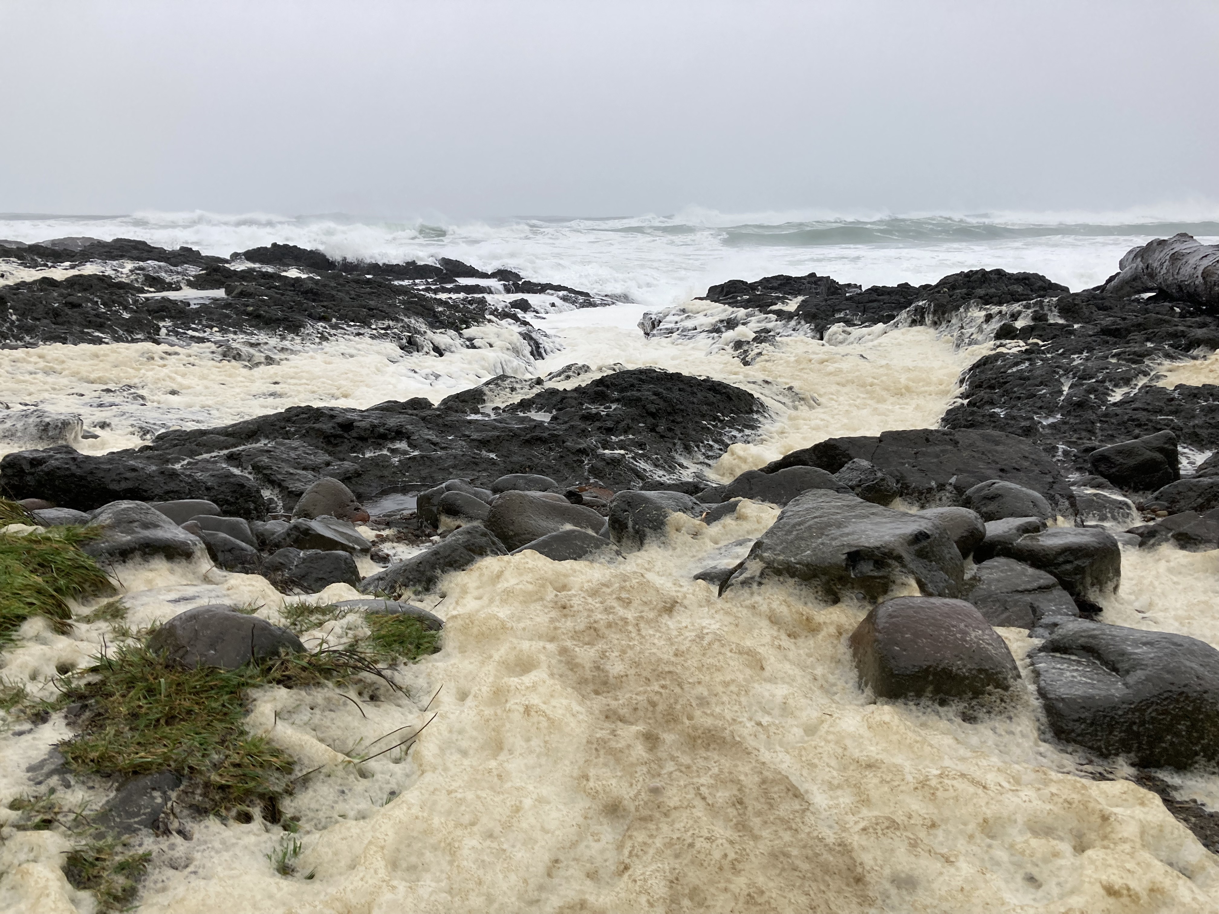
It rained for most of my stay in the area, and my mind was preoccupied with other things, so I didn’t do the area full justice in terms of exploration. I’m not sure the Cape Perpetua Overlook would have offered extensive views anyway with all the rain, cloud, and fog. But I did take in the coastline at Devils Churn (part of the Cape Perpetua Scenic Area), watching the big winter waves, walking along the coastal trails, visiting various beaches and unique land formations where wave watching could be quite interesting.
Devils Churn is an inlet/chasm that has been eroded into the coast’s volcanic rock over centuries of waves crashing and carving. At high tide waves culminate in powerful ocean spray.
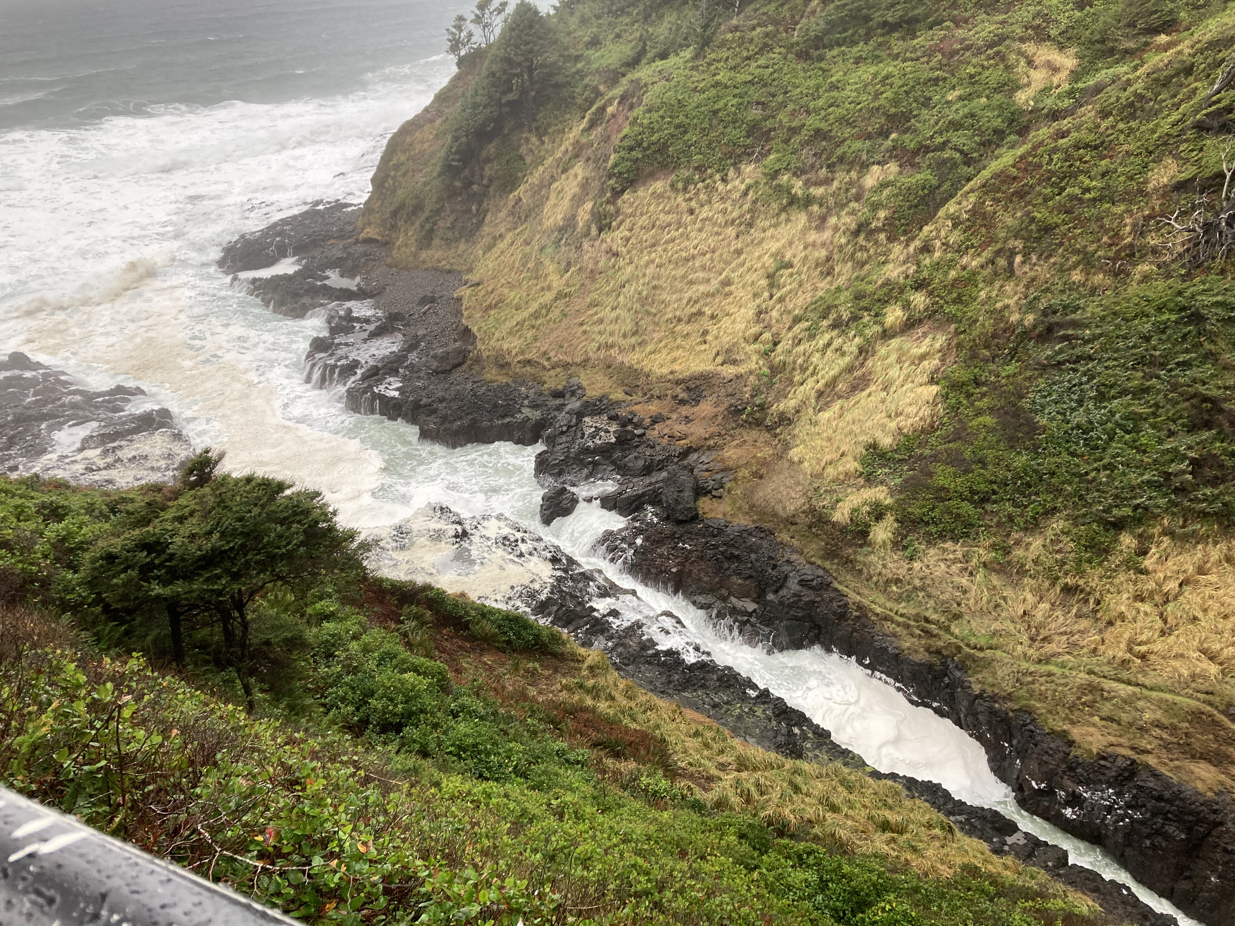
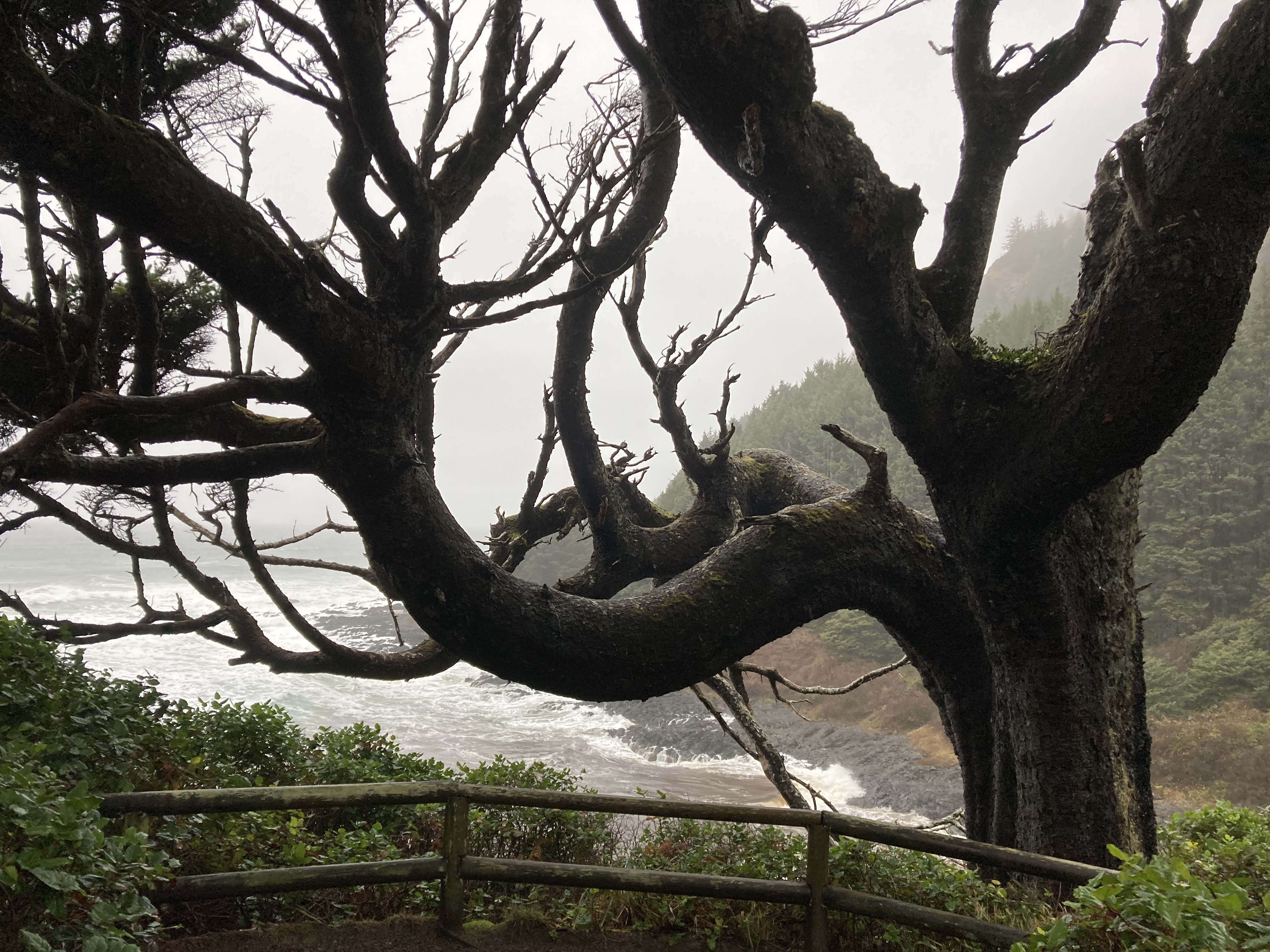
From here, you can walk along the Trail of Restless Waters, past windswept, battered trees.
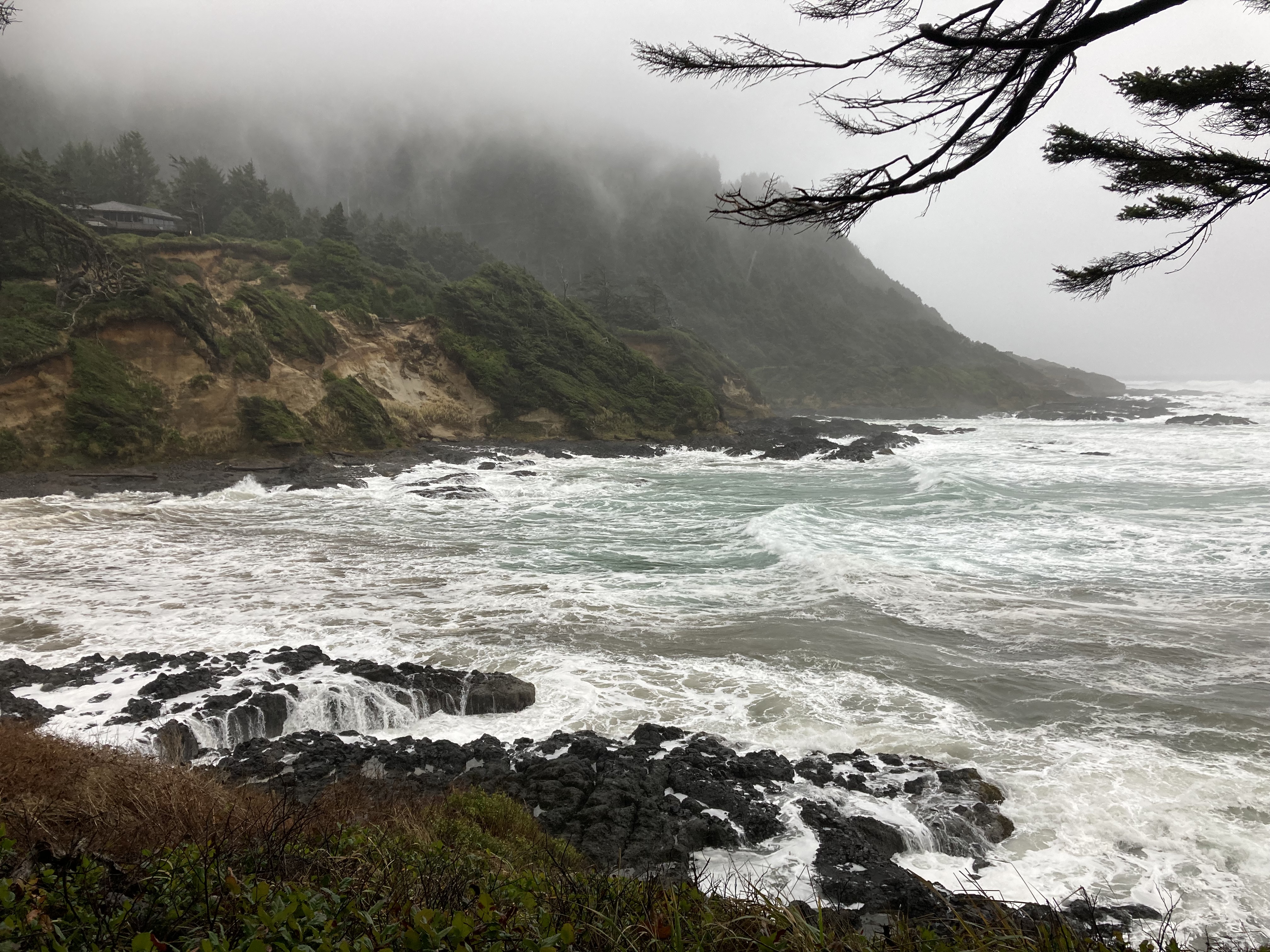
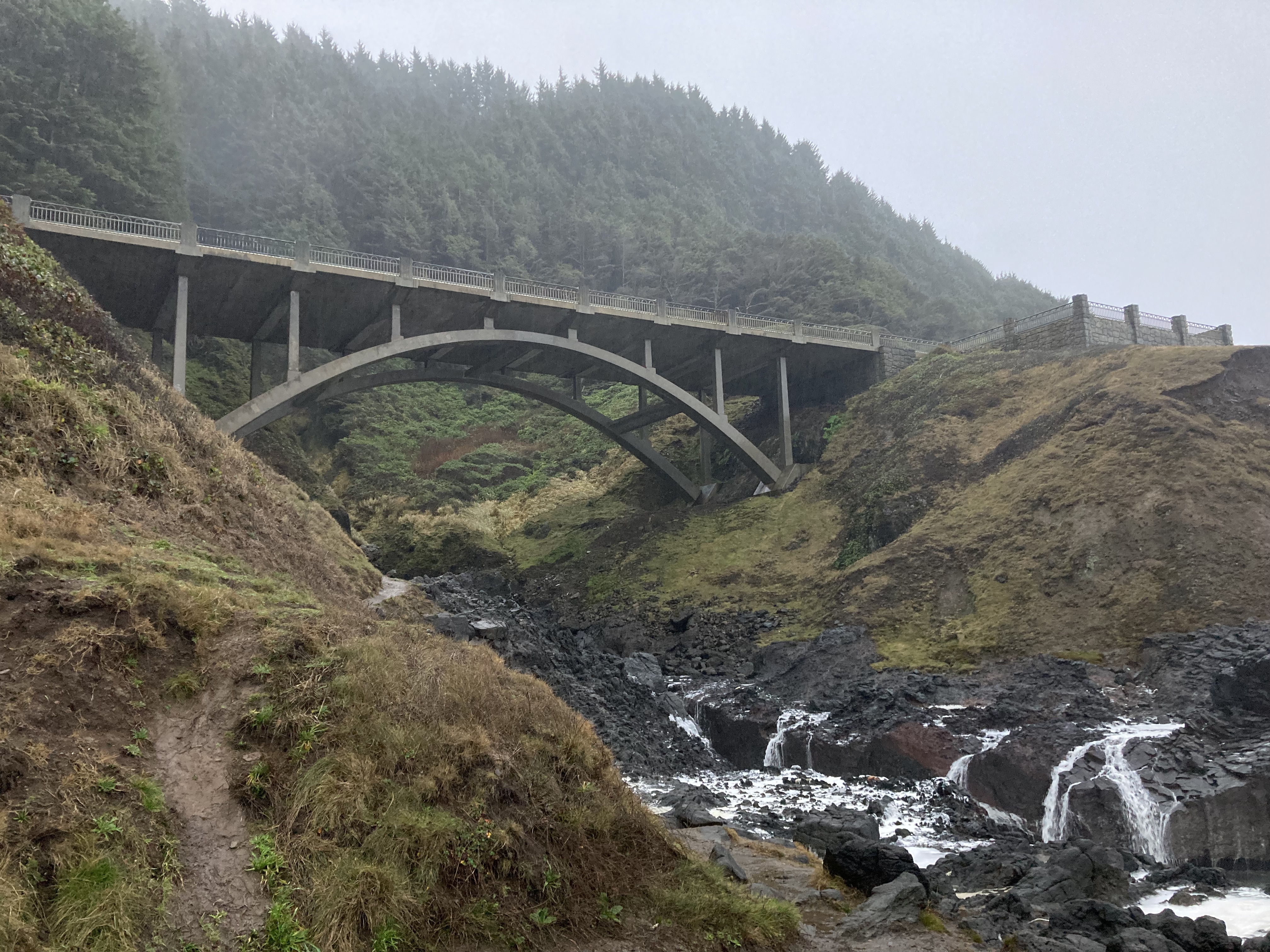
I took the trail from Devils Churn and walked south to the Spouting Horn – an ocean geyser (about a mile one way). It’s in an area called Cooks Chasm, and nearby is Thor’s Well – a “wave-swallowing sinkhole”. Despite the rain, there was a crowd here, probably because stormy weather and big winter swells are the best times to see these features.
With such powerful waves, there was a lot of sea foam on the shores. It danced and jiggled in the wind. Something that always seems to make me smile.
Eugene & The Mechanic
The day before my mechanic appointment I drove from Yachats to Eugene (just under a two hour drive), spending the night at a rest area.
After dropping off the van to the mechanic the next morning, I saw that there was a mall nearby and walked over there to kill time.
It turned out that Strider’s brake rotors were warped, and the root cause was rusted/ seized callipers. Thus, things weren’t functioning properly and the brakes were overheating. The repairs required a second day. Rather than book a hotel, I was permitted to remain in the van in the dealership’s lot. Maybe this was an Oregon thing, but they had someone who I believe worked for them staying in their lot longterm in an RV, and since they knew I was travelling in the van, they accommodated me. I think I got pretty lucky with that – I would not expect that to be the norm. They joked about me not driving off without paying – but they hadn’t completed the major repairs yet and from what they told me it would do damage to the van if I were to drive it on the highway at this point. I was glad to be able to keep close tabs on my belongings anyways – this place had a sign saying they were not liable if items were stolen from vehicles, which was unsettling since I was in another country and essentially all of my belongings were in the van.
During day two of the repairs, which I did not expect to take long, I walked through some residential neighbourhoods to a Starbucks. There were definite signs of homeless camps in an overpass area. Oregon is known for having a larger homeless population.
In the end, everything worked out. Payment was a bit frustrating as I had lost my credit card the day I had entered the states. While I was unable to get a new physical card in the states, my Apple Wallet on my phone had somehow automatically updated to my new credit card, but there was a lower cap on the amount per transaction. I learned all of this while attempting to pay the bill – fun. As I would find out – there are some places on the road that only take physical credit cards (like some parking lot machines).
Fun facts: the service guy at the mechanic told me how Oregon doesn’t have sales tax. Which was welcome news for my big auto repair bill. He also shared that people near the Oregon / Washington border often do their shopping in Oregon, and Washington doesn’t have income tax – so they reap the rewards from both states.
I guess I was lucky to have the repair done in Oregon!
I took the rest of that day to clean and organize the van, run some errands, and just be happy that this ordeal was over. Hopefully it would be the last big repair that cropped up for a while.
I spent the night at a rest area on the I-5 south of Eugene.
Southern Oregon I-5
The last few days that I spent in Oregon at this point are a bit of blur, and I didn’t really do much that was exciting. It was around New Years and I think various places were closed. I also came down with a cold around NYE. So I was sticking to the I-5, rest areas, and parks and stores in close proximity. I also still did not know exactly where I was heading.
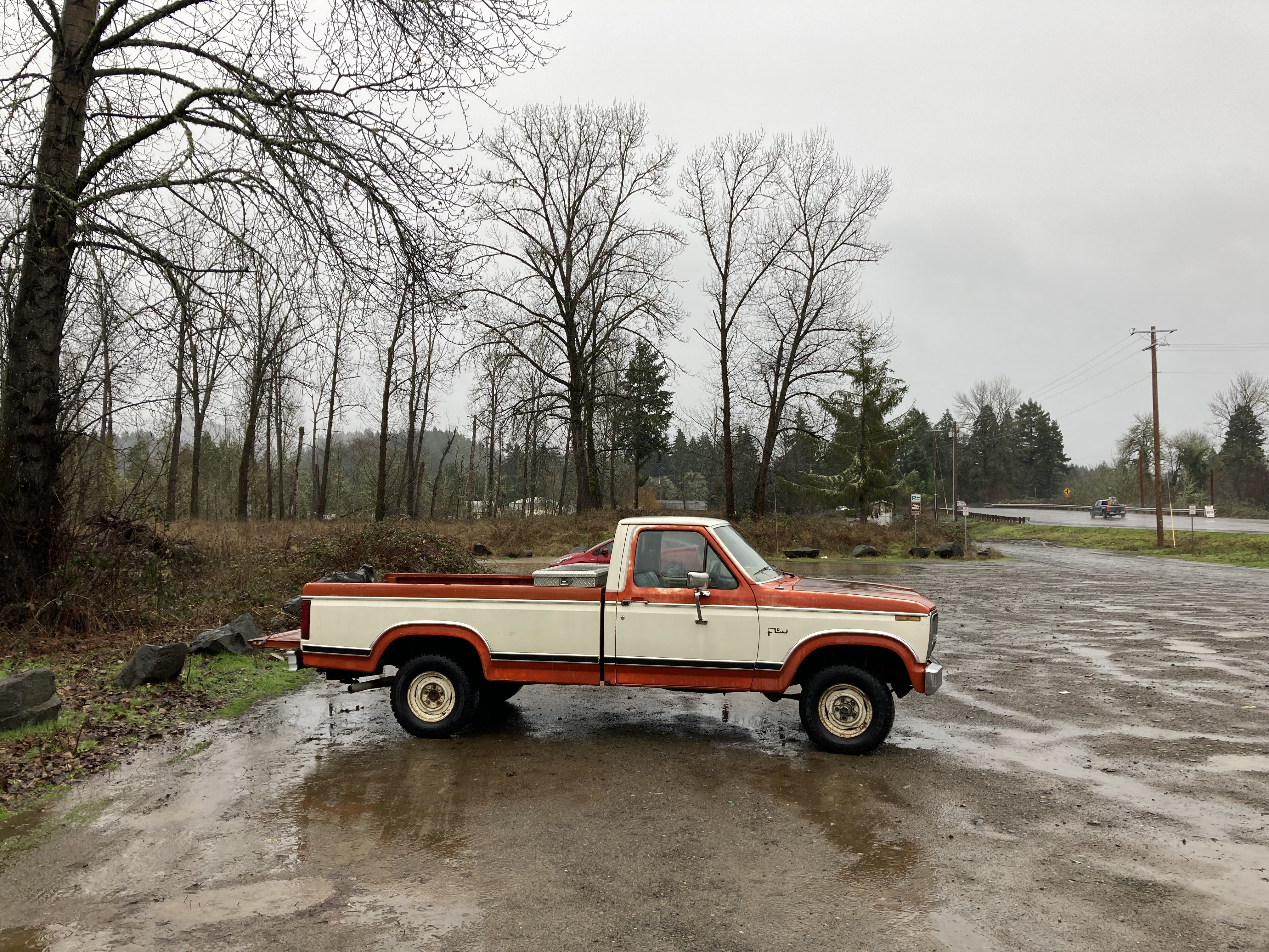
I remember seeing this truck and for some reason thinking how “Oregon” it was:
One morning at one of the rest areas, I managed to step in dog shit walking back from the bathroom. So I was cleaning off my shoe – the worst possible time for someone to come chat to me – but of course the moment that a random guy did. He seemed nice enough, and seemed interested in vanlife, asking me questions about it. In retrospect, this is the sort of encounter that sounds like a distraction tactic where someone else could be robbing you behind your back. Luckily that wasn’t the case (that I know of). I remember him telling me about how he had kids and bills to pay and wished he could do something like I was doing. A lot of people often say they wish they could do something like this. Since he wasn’t robbing me – I can now classify this as a friendly encounter, despite a bit of awkwardness on my part as I continued scraping the poo off my shoe and then escaping to wash my hands.
I saw a deer grazing one evening at another rest area. Some rest areas were prettier than others. And I made my first grocery store beer find.
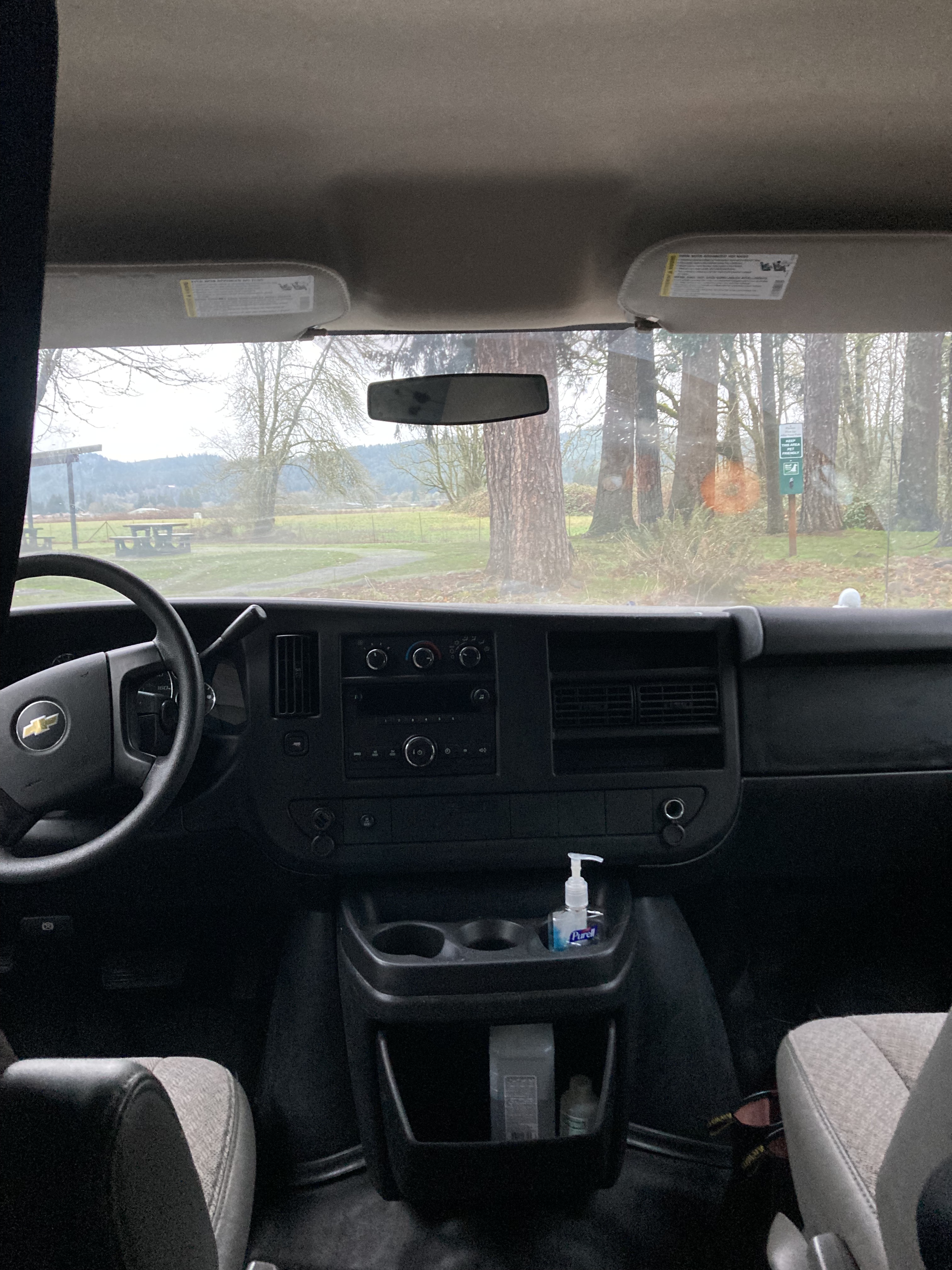
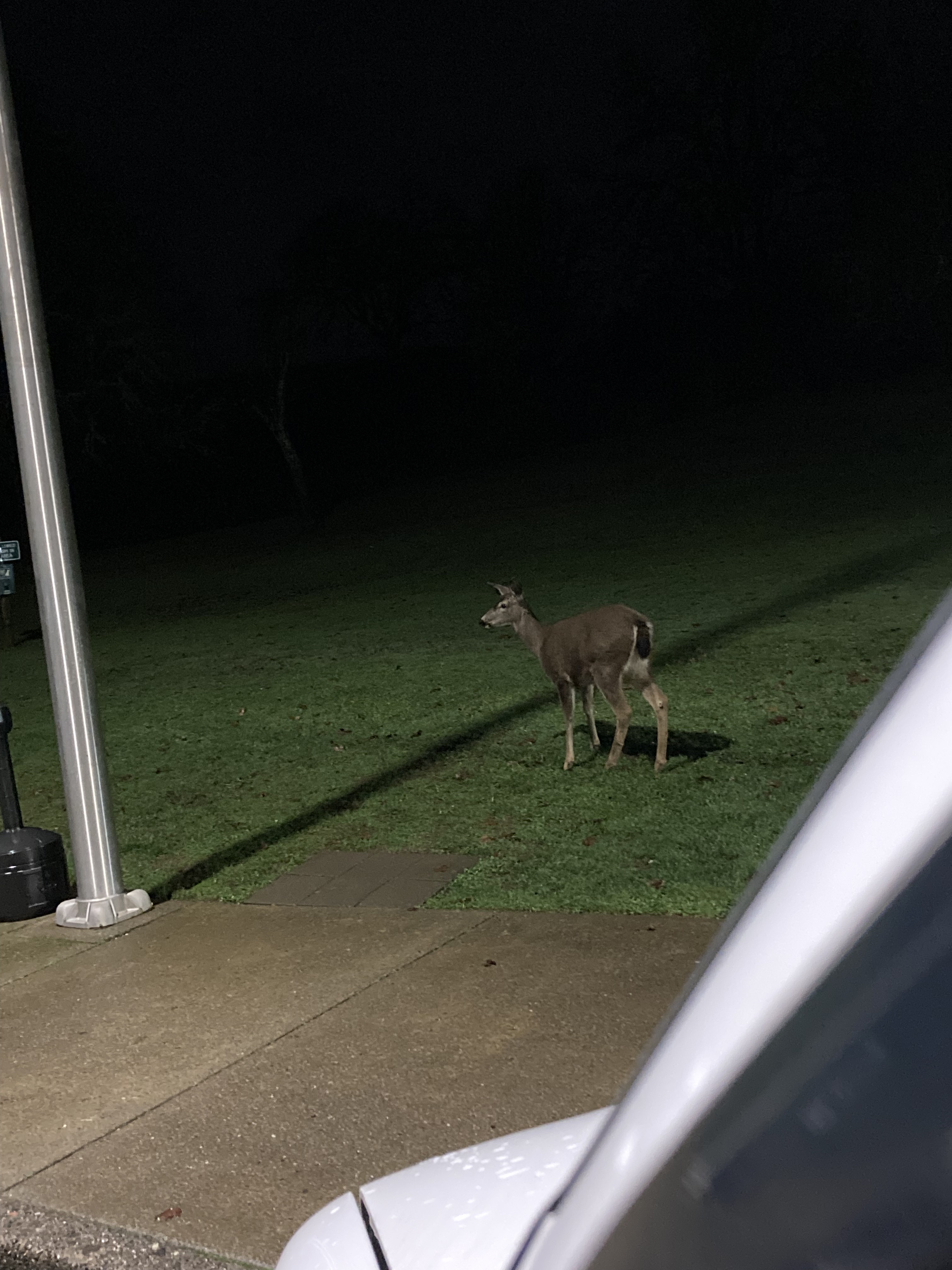
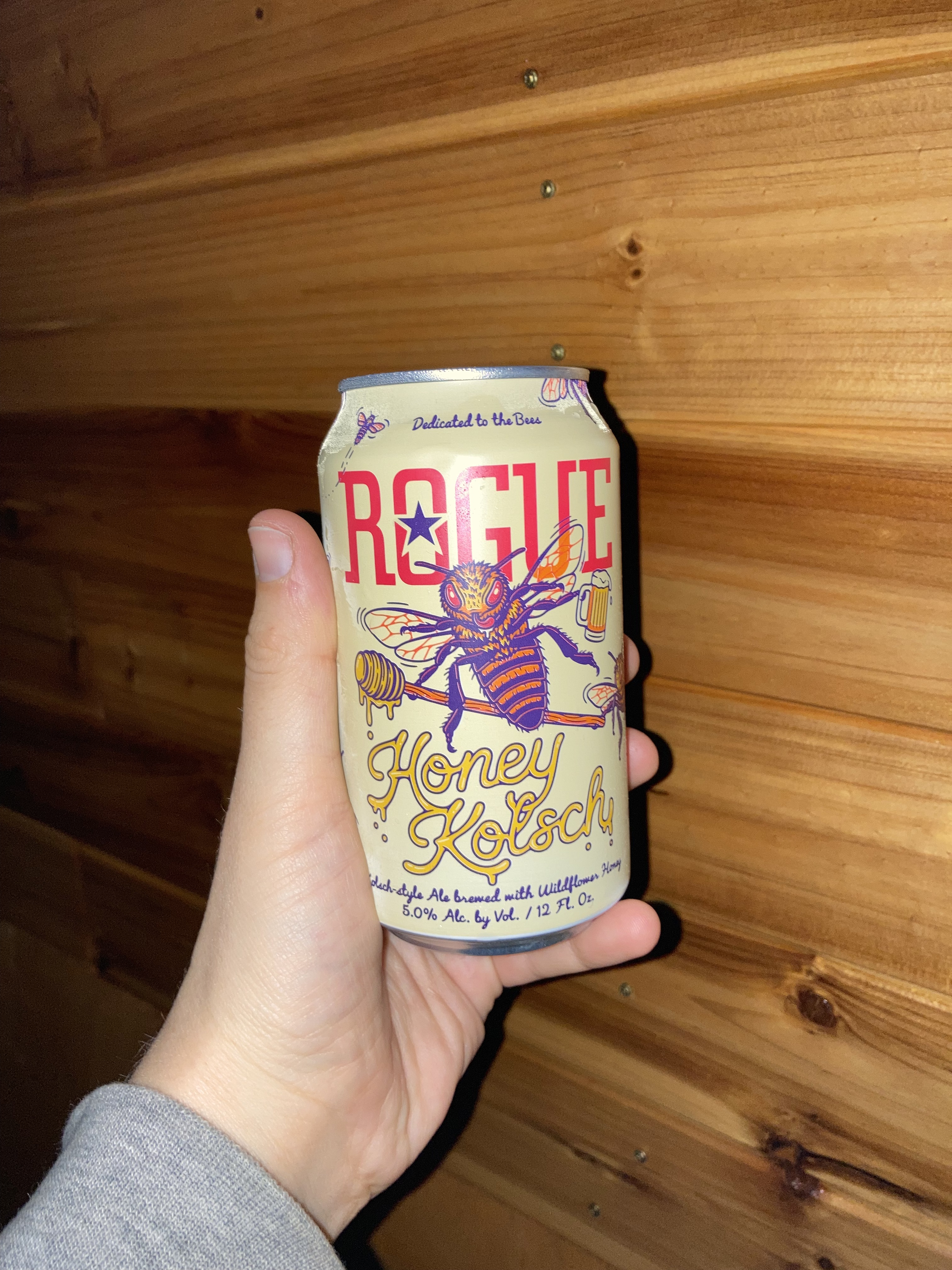
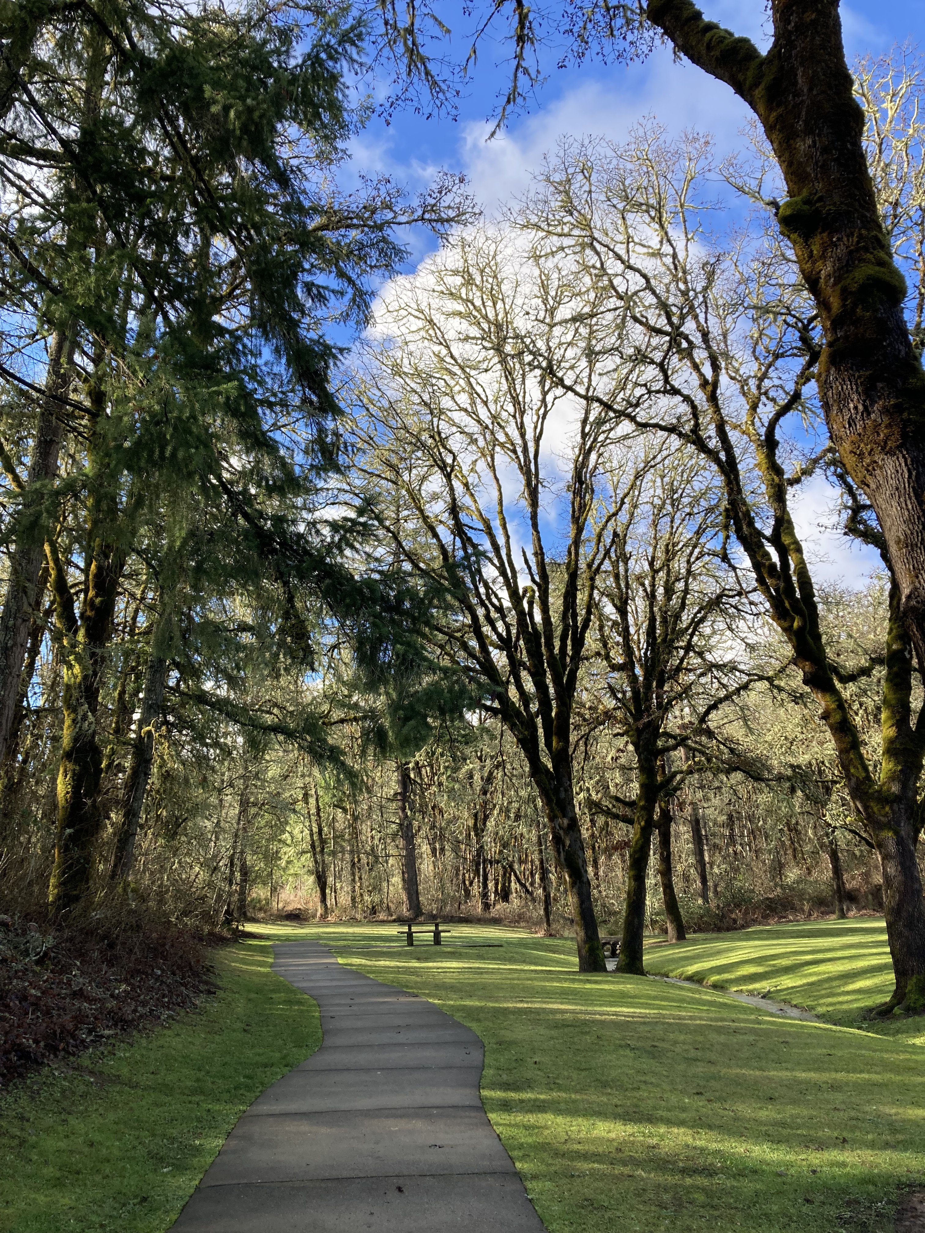
I remember staying at a rest area in Grants Pass (evidently this was the era of rest areas). It was a nice one. And I remember thinking how close it was to Crater Lake. I think I made a mental note to try and get there later on – perhaps wanting to avoid the mountain regions after my unsavoury experience driving through snow in the Rockies. Maybe the roads weren’t even passable anyways.
I can’t remember the exact thought process, but at some point I decided to drive down to Crescent City, California. I was already so close to California, and even if I didn’t stay long, at least I could say I had been in California – might as well, right? Crescent City is also one of the closest California cities to the Oregon border, just 25 minutes south of the border, and 1hr 45mins from Grants Pass.
There was a border checkpoint when crossing the California-Oregon border, where it was asked if I was bringing in certain fruits, vegetables, plants, firewood, or animals. I was not, so I was waved through. This is part of California’s Border Protection and Inspection Stations.
Little did I know at this point that I would end up travelling the whole California coast down to the Mexico border and then back north through the California interior. I got to experience the road trip that for years I’d dreamed of. The one I had worried, after crossing into the states, wouldn’t happen.
Next Time
There is a lot to see on the Oregon coast and I only saw a small portion of it. I also didn’t explore much within Willamette Valley. But here is a (non-exhaustive) list of places I’d made note of.
Coast (north to south):
- *Astoria – on the Oregon coast northwest of Portland, right at the border with Washington, and on the Columbia River. A little town, population 9,900, called “little San Francisco”, with the Oregon Film Museum in an old county jail, Columbia River Maritime Museum, the Astoria Column, Victorian architecture (like the 1885 Flavel House Museum), Astoria Riverwalk, Astoria-Megler Bridge, fresh seafood, and breweries.
- Fort Stevens State Park – has a large public campground, once a military site used to guard the mouth of the Columbia River, historic shipwreck, northern terminus of the Oregon Coast Trail, just west of Astoria.
- *Cannon Beach & Haystack Rock – Cannon Beach is a beach town on the coast west of Portland. There is four miles of sandy beach with dramatic rock formations, Haystack Rock being one of note (where you might even see puffins). It was rated one of the top 100 most beautiful places in the world by National Geographic in 2013. And the town has shops to explore, while the surrounding area has more beaches, rock formations, coastline, waterfalls, and trails.
- Devil’s Punchbowl – waves likely carved out a cave and the roof collapsed, and now this headland offers the opportunity to watch as waves churn, swirl, and foam in what looks like a giant bowl. North of Newport.
- Newport – 30 minutes north of Yachats, with the Yaquina Bay Bridge, Oregon Coast Aquarium, Yaquina Bay Lighthouse, Yaquina Head Lighthouse, Newport Historic Bayfront, Nye Beach District, and South Beach.
- Heceta Head Lighthouse – between Yachats and Florence, 20 minutes south of Yachats
- Bandon – sandy beaches, sea stacks, tide pools, Face Rock, “Cranberry Capital of Oregon”; half an hour south of Coos Bay-North Bend.
- **Samuel H. Boardman State Scenic Corridor – 12 miles of rugged and forested coastline, some say it is the most stunning part of the entire Oregon coast, about 10 miles from the California border, 300 year old Sitka spruce trees, Natural Bridges, Arch Rock, Oregon Coast Trail.
- And if I was just taking my time along Route 101 I would probably just stop wherever caught my eye!
Willamette Valley (north to south):
- Salem, OR – about an hour south of Portland via the I-5, Oregon’s capital city; Oregon State Capitol Building, downtown.
- *Trail of Ten Falls at Silver Falls State Park, about a half hour east of Salem.
- Wineries in the valley, known for Pinot Noir.
- Farm Markets, as the area is known for agriculture.
Southwest Oregon:
- *Oregon Caves National Monument & Preserve – south of Grants Pass on the drive to Crescent City, “the Marble Halls of Oregon”.
NoBo – Oregon Interior
My time in Oregon in the winter and my time in Oregon in the spring felt worlds apart. A lot had happened. Winter had been cold and dreary, and now it was sunny and hot. The coast was wet, the interior was dry. I’d had no set plans before, and now I was on a mission. I’d spent a good chunk of time in California, and most of it was going with the flow. I think I felt like I’d changed, too. I was still more or less choosing destinations as I went, but I was prioritizing, and on a tighter timeline, with a set date that I was to be back in Canada, and a lot to squeeze in before I left.
The night before re-entering Oregon I slept at Grass Lake Rest Area, north of Mount Shasta, about a half hour south of the border. I crossed the California-Oregon border checkpoint. And I remember the stark visual of forest fire carnage in the bare trees around me as I drove.
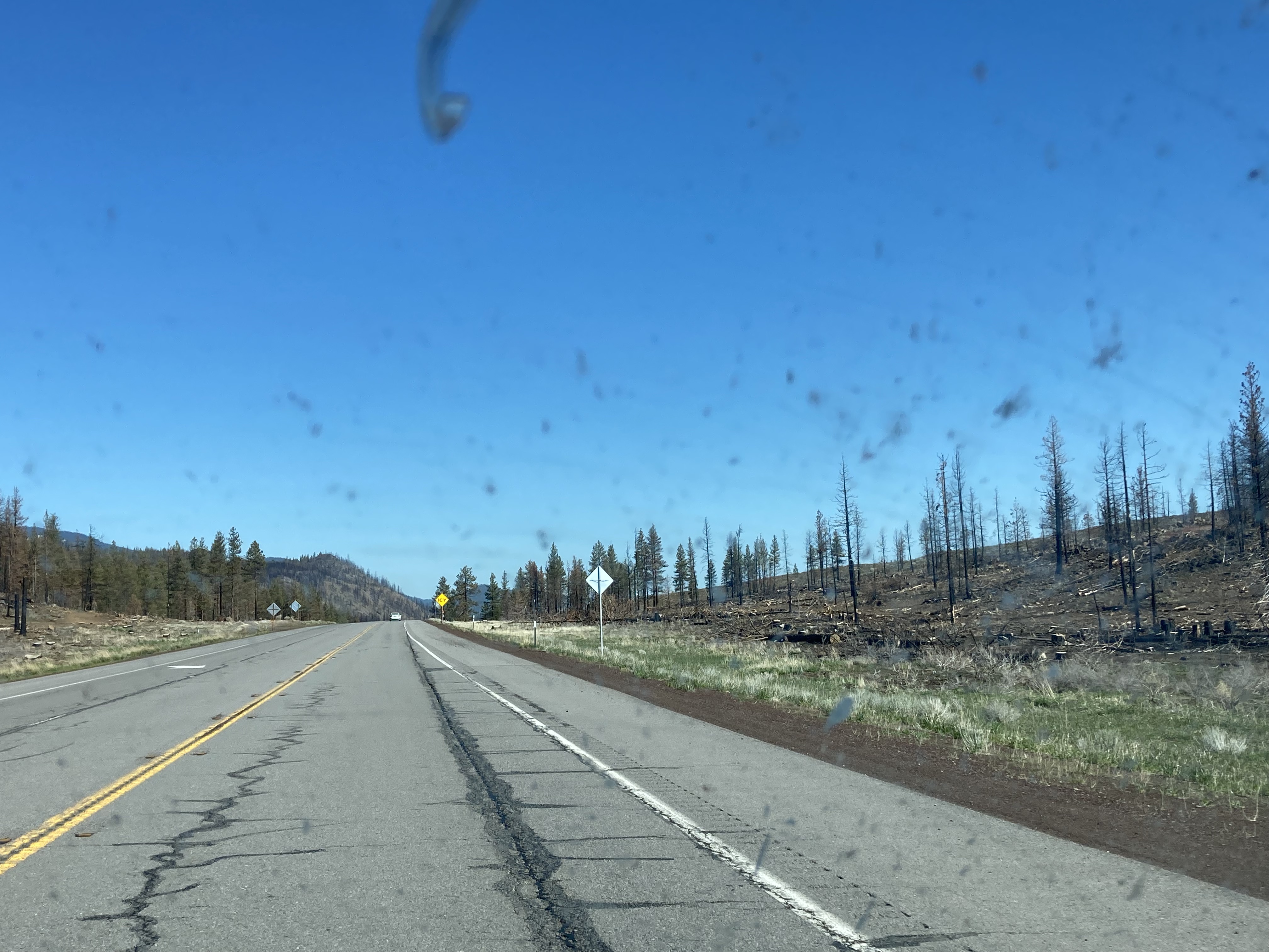
As I’ve said before, I always have an adjustment period when I cross borders. But it helps to have exciting destinations on the books – and I was headed straight for Crater Lake!
Crater Lake
Crater Lake is so cool.
It’s part of the Cascade Mountain Range, which extends from southern British Columbia (Lytton, between Vancouver/ Whistler and the Okanagan Valley) to northern California (Lassen Peak and Mount Shasta), through central Washington (North Cascades National Park, Mount Baker, Mount Rainier, Mount St. Helens, Mount Adams) and central Oregon (Mount Hood, Three Sisters, Newberry Volcano, Crater Lake). The tallest peak in the Cascades is Mount Rainier in Washington, near Seattle, at 14,411ft or 4,392m.
What I found notable about the Cascades was that the peaks felt quite spaced out compared to what I was used to with the Canadian Rockies – like spaced out singular peaks rather than ridge lines with peaks concentrated together. And of course a defining difference is the volcanoes, which affect the land in numerous ways – lava beds, geothermal features like hot springs or mudpots, risk of earthquakes/landslides/eruptions, landforms like craters and cinder cones/buttes, and ash blanketing. These volcanoes are part of the Pacific Ring of Fire – a ring of volcanoes around the Pacific Ocean. The two most recent eruptions include Mount St. Helens, 50 miles east of Portland, which is considered the most active volcano in the range, in 1980. And Lassen Peak erupted in 1914.
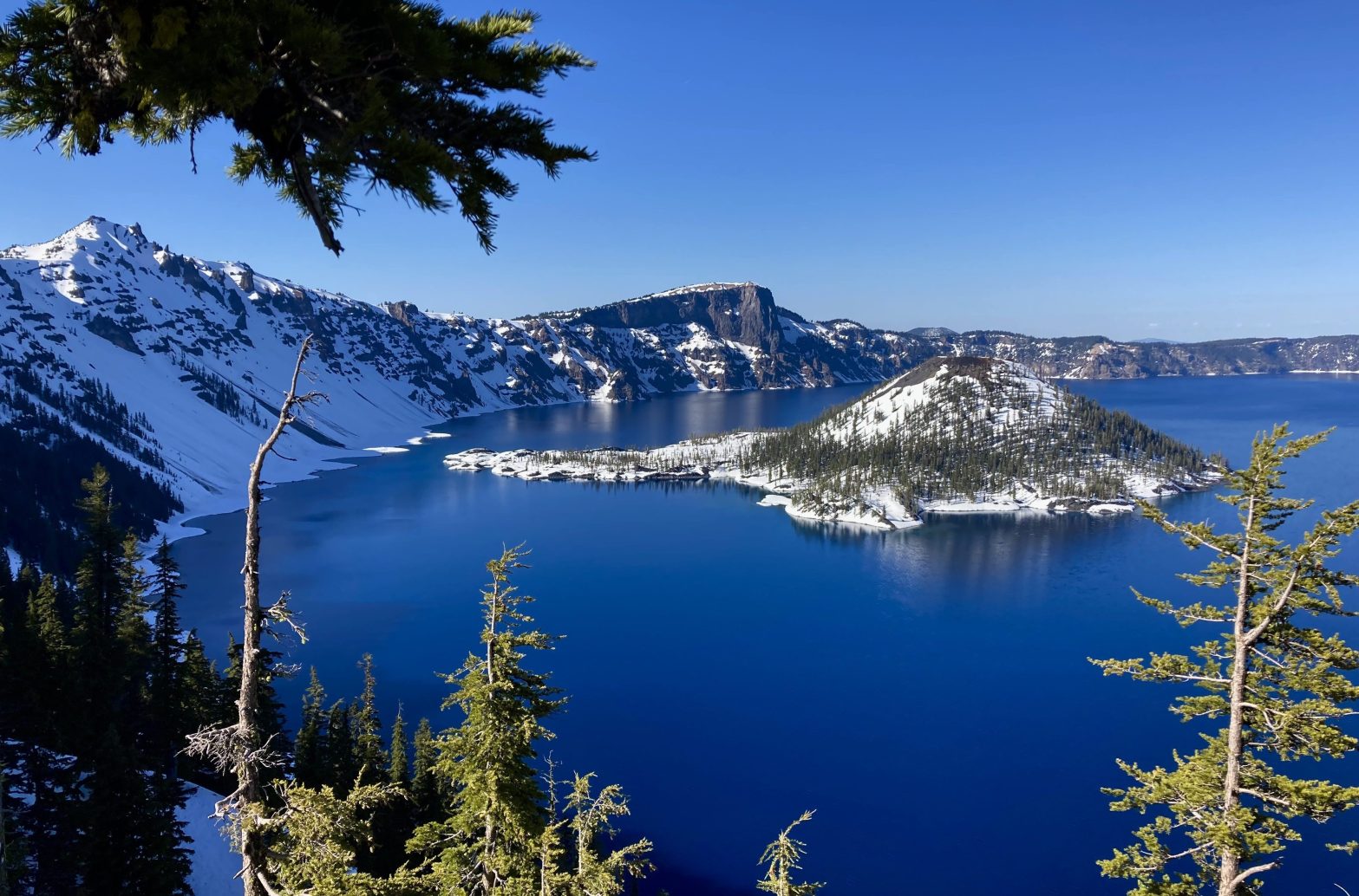
Crater Lake is the result of a violent volcanic eruption 7,700 years ago which led to the collapse of Mount Mazama. The lake lies in a caldera or volcanic basin. It is the deepest lake in the US and 7th deepest in the world. Crater Lake National Park is the only national park in Oregon.
After crossing into Oregon, it was about another two hours of driving to get to Crater Lake. The road there was open from route 62/the south, but there was still heaps of snow at higher elevations. This meant that I couldn’t drive around the lake on Rim Drive as it was pretty much all blocked with snow. Instead, I hiked on the snow a ways from Rim Village. Despite the snow that was taller than me, it was about 20 degrees C outside, so I was hiking in a tank top.
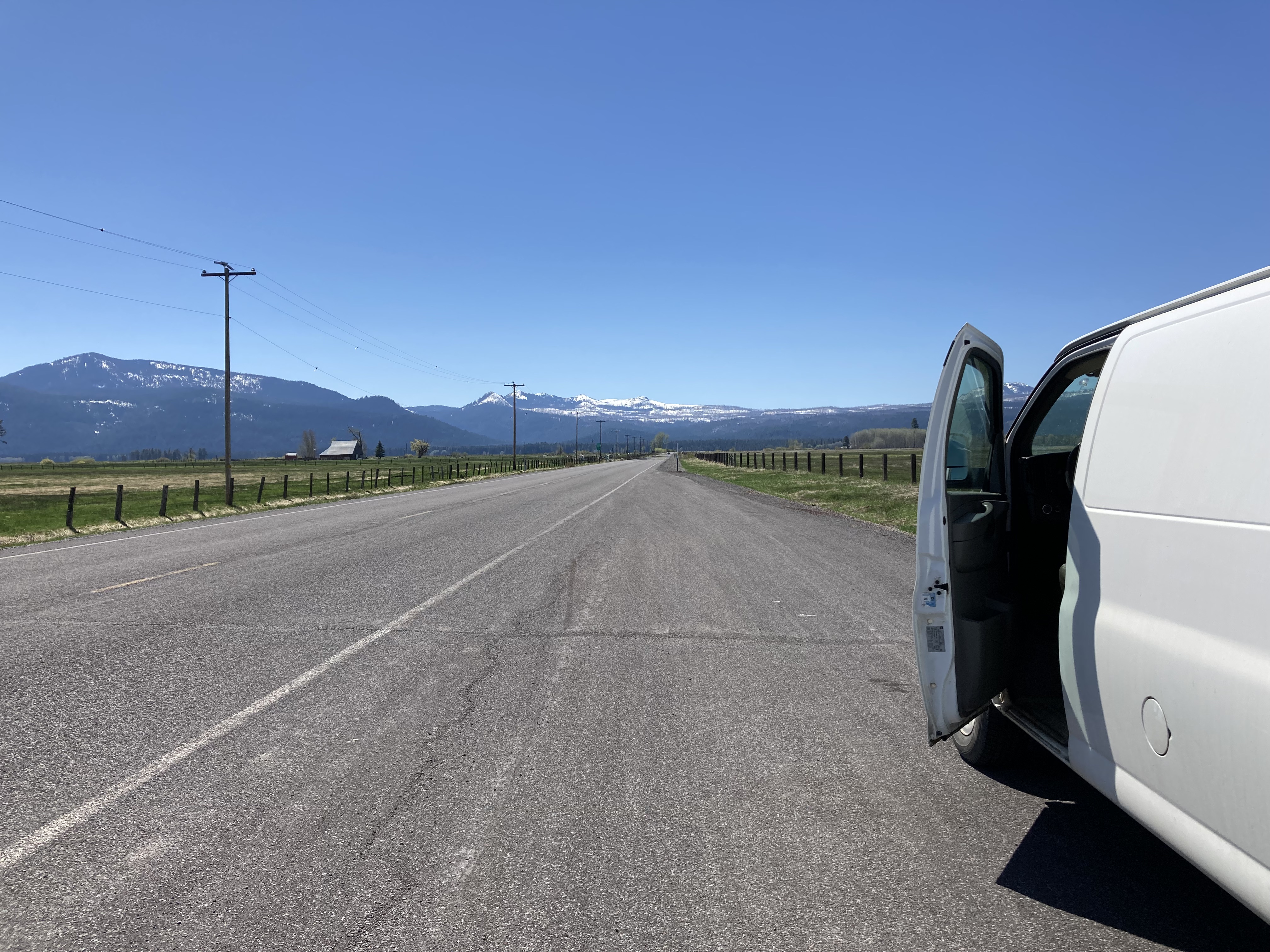
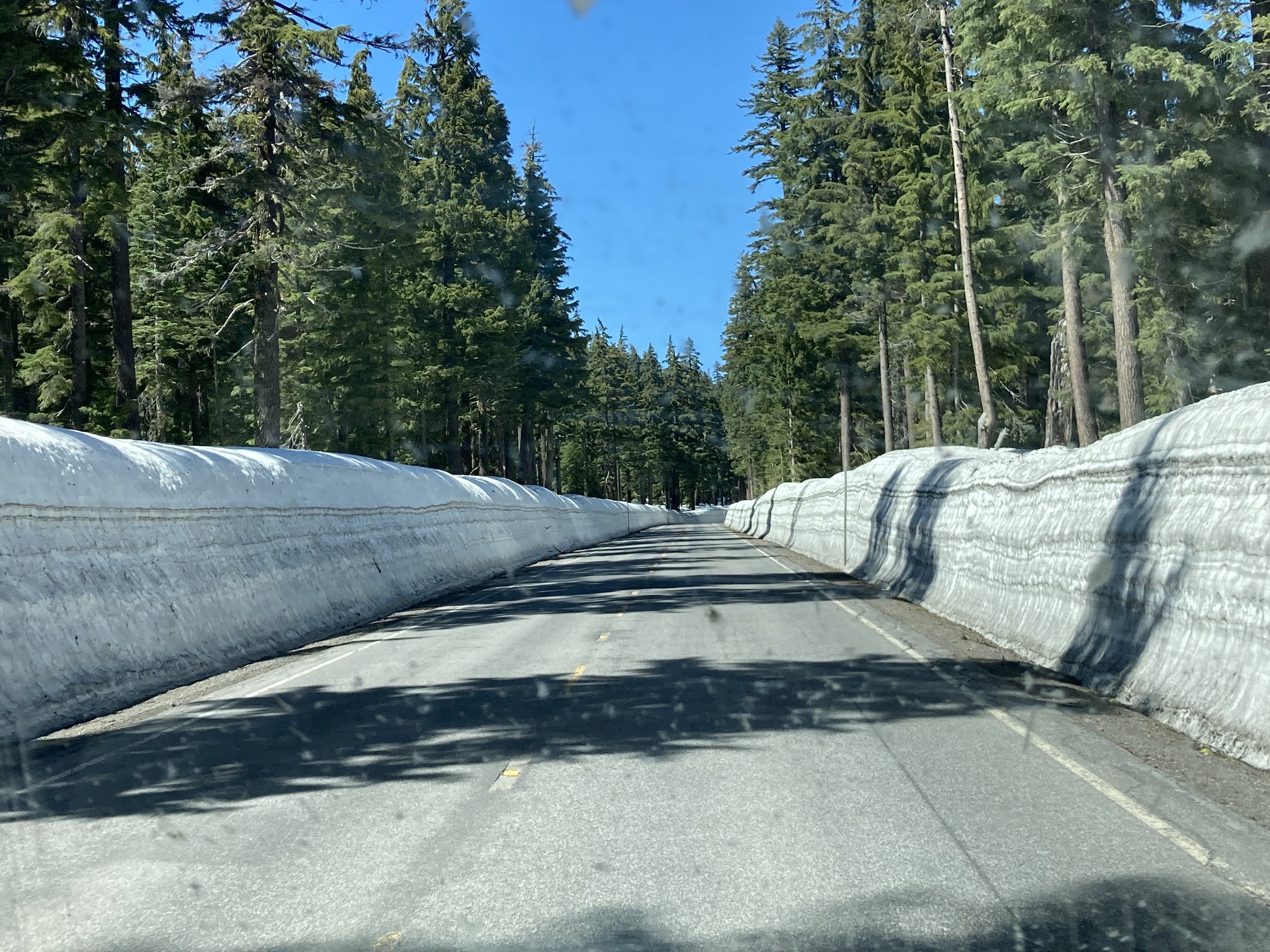
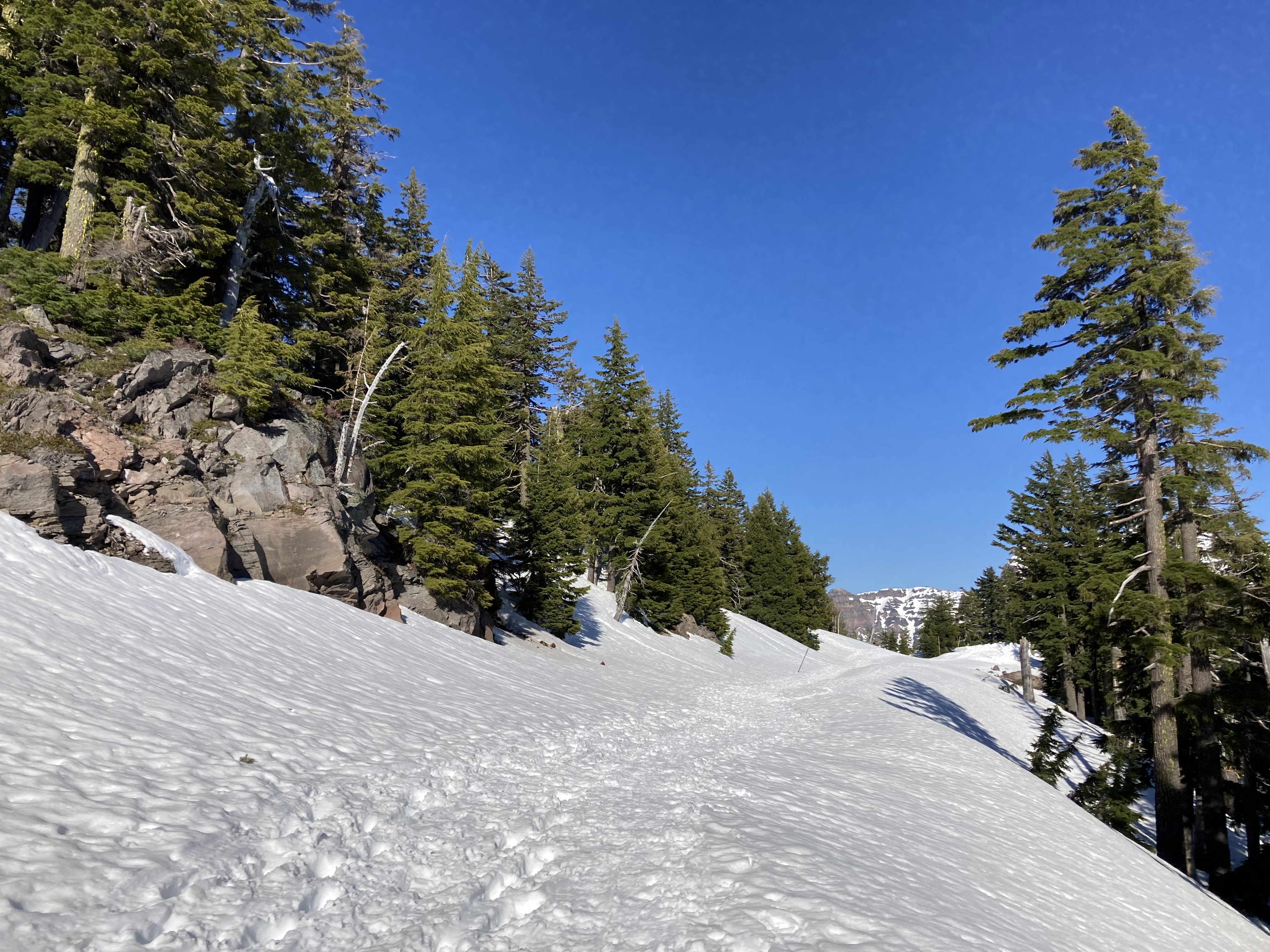
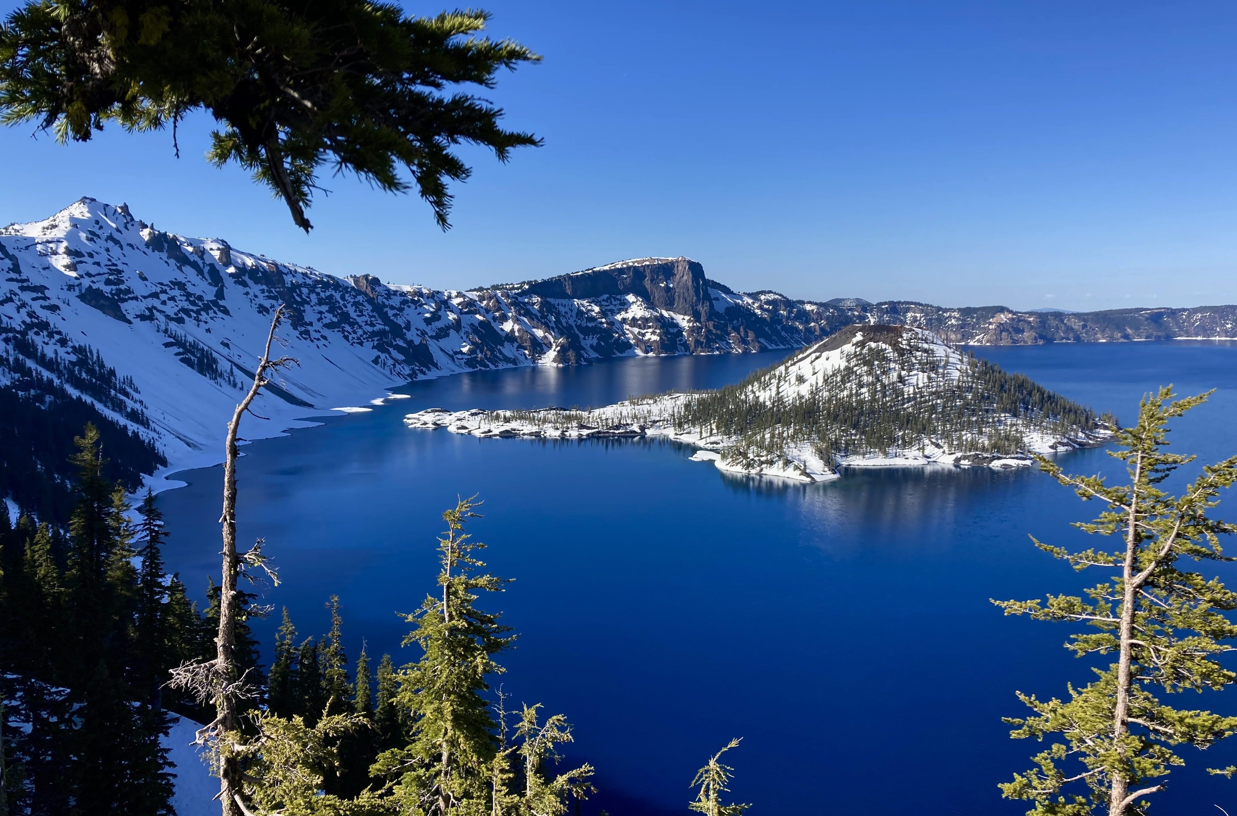
After the hike I checked out Rim Cafe and Gift Shop as well as Crater Lake Lodge, which would be lovely to stay in.
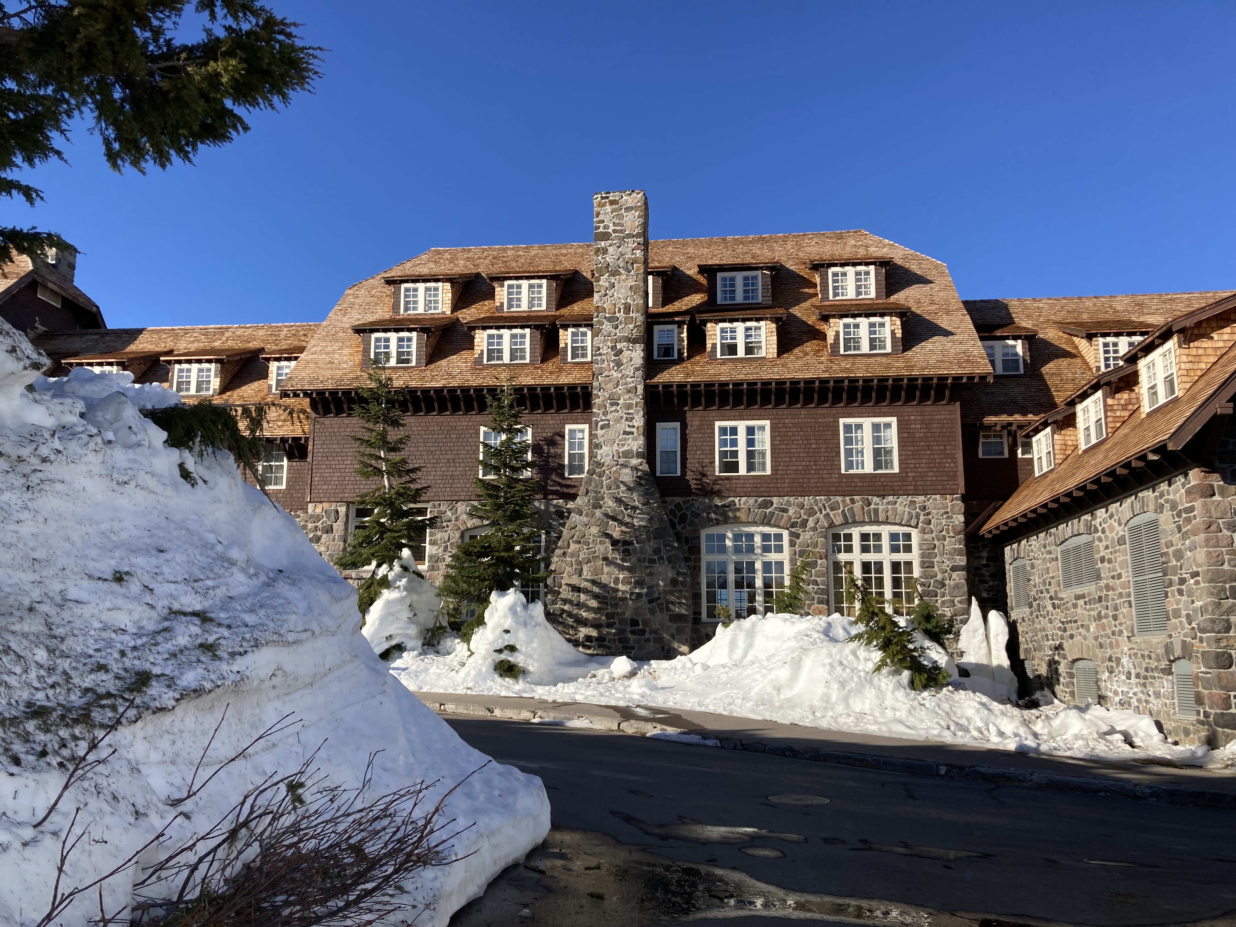
Once the snow disappears there would be lots more I’d love to do here. Obviously, driving the 33 miles around the lake on Rim Drive and checking out many of the 30 overlooks. I’d want to get a closer view of Phantom Ship and generally different vantage points of Wizard Island and the lake (see map). I’d also love to hike here, on the PCT, perhaps to see the Pinnacles (volcanic spires), and to places with views of the lake (like Mount Scott). You can hike down to water level at Cleetwood Cove Trail, east of the North Entrance, and this is also where you can take a boat tour.
I spent the afternoon at Crater Lake then backtracked south, turned north on route 97, driving about an hour and a half total till I hit Beaver Marsh rest area for the night, about an hour and a half south of Bend.
Bend
Bend, OR, is known for its convergence of high desert, mountains, and the Deschutes River running through it. It’s a mecca for outdoor recreation and a craft brewery hub in central Oregon.
Bend felt quite safe to me – and the stats back me up, with 1.69 violent crimes per 1,000 residents and 13.56 property crimes per 1,000 residents. In California I’d come to feel that anything under 20 for property crimes and 3 for violent crimes felt quite good.
But before actually arriving in Bend…
Another day, another truck stop shower.
I then sussed out an overnight spot in Deschutes National Forest, about 20 minutes south of Bend, east of Sunriver. I was on Lava Cast Forest Road, a dirt road. I arrived during daylight, taking a slow day to plan out my explorations. There were plenty of spots along this road, in this forest, where one could park.
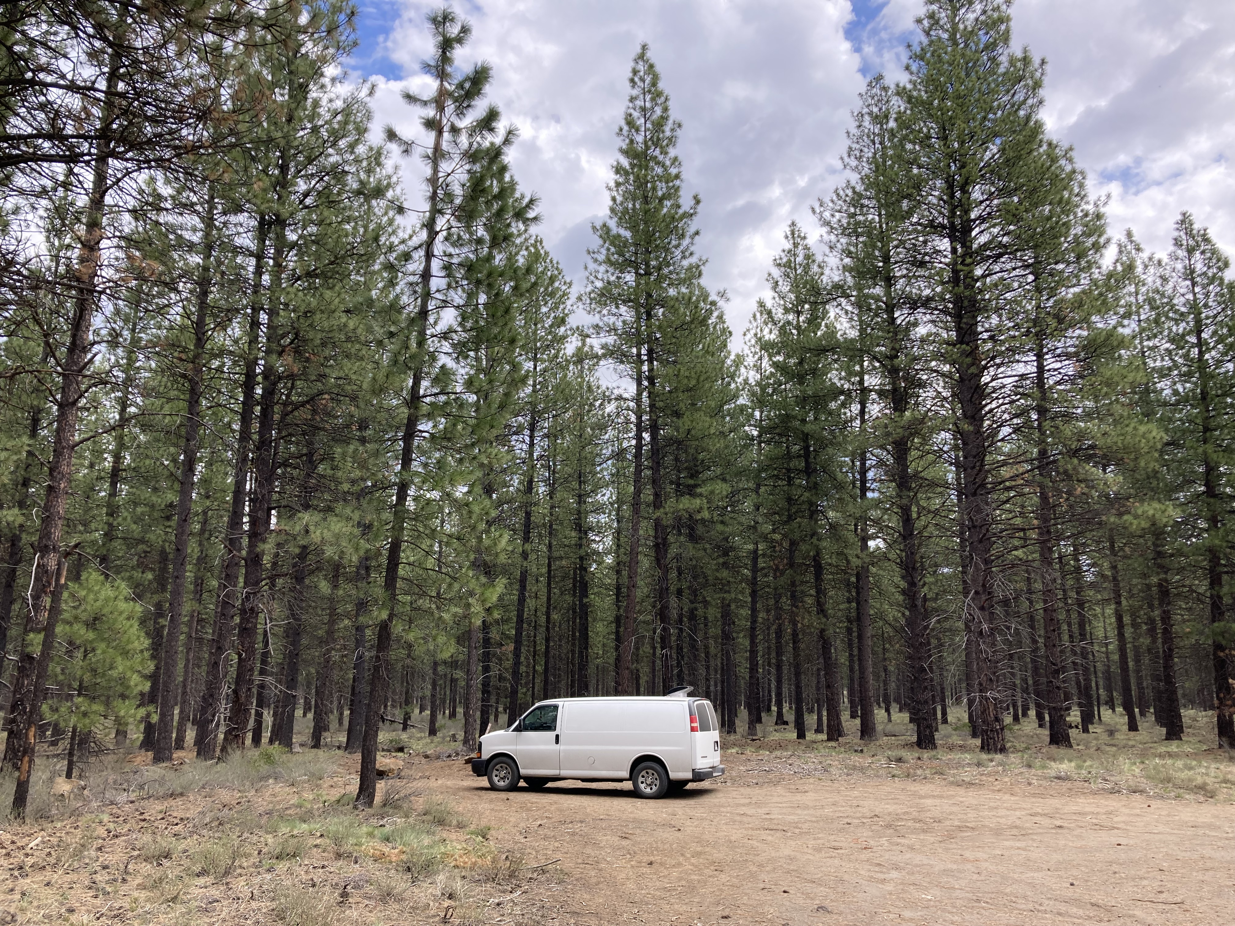
While I ended up staying here a few nights, I will say that this place gave me the creeps. I wouldn’t even point to one thing that put me on edge – like, yeah, there were a couple of areas where clearly people were living longterm and it seemed a bit unkempt. But homeless presence or off-grid presence doesn’t automatically bother me. It was more the overall vibe – like something was just off. After a while on the road I think you develop a sort of sixth sense for safety. And I think the best thing you can do on the road is listen to your gut when something isn’t sitting right. In this case, do as I say, not as I do, because I still stayed here. But hey – I’m alive!
Lava Lands
I really didn’t know much about Oregon’s interior landscape before getting here. I was pleasantly surprised to find myself in volcano territory, and to discover the unique ways that this shaped the environment. I love a rugged and barren landscape.
The area south of Bend and in Deschutes National Forest is home to Newberry National Volcanic Monument. The eruption of Newberry Volcano created Newberry Caldera, a crater formed when the overlying rocks collapsed due to a magma chamber emptying. It is commonly referred to as Newberry Crater and it massively altered the surrounding environment. There are lava flows, cinder cones, vents, lava tube caves, hot springs, volcanic glass flows (obsidian), and lakes in the caldera. The volcano is about the size of Rhode Island and remains both seismically and geothermally active to this day. There are three regions to this national monument: Lava Cast Forest (further along the same road I was boondocking on), the Lava Lands (where I went), and the Newberry Caldera (southeast of Lava Lands and Sunriver). I wish I had hiked Big Obsidian Flow Trail and Lava River Cave (the longest lava tube in the state, requires a reservation, home to bats). There’s also Paulina Creek Falls (80ft double waterfall) and Paulina Peak Trail/ Crater Rim Trail, where you will literally be walking on the volcano rim and take in expansive views of the surrounding area from the highest point in the area (7,985 ft).
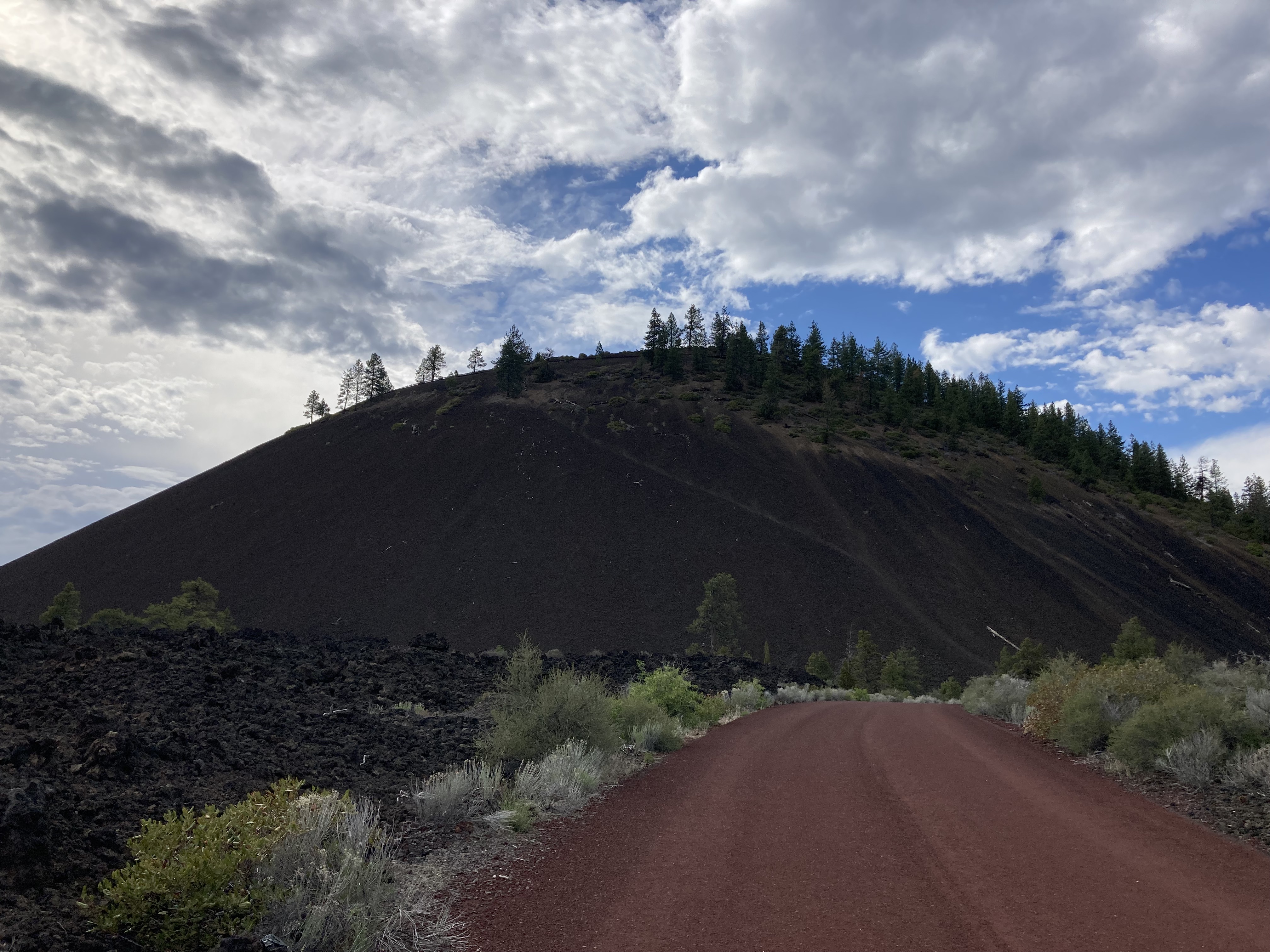
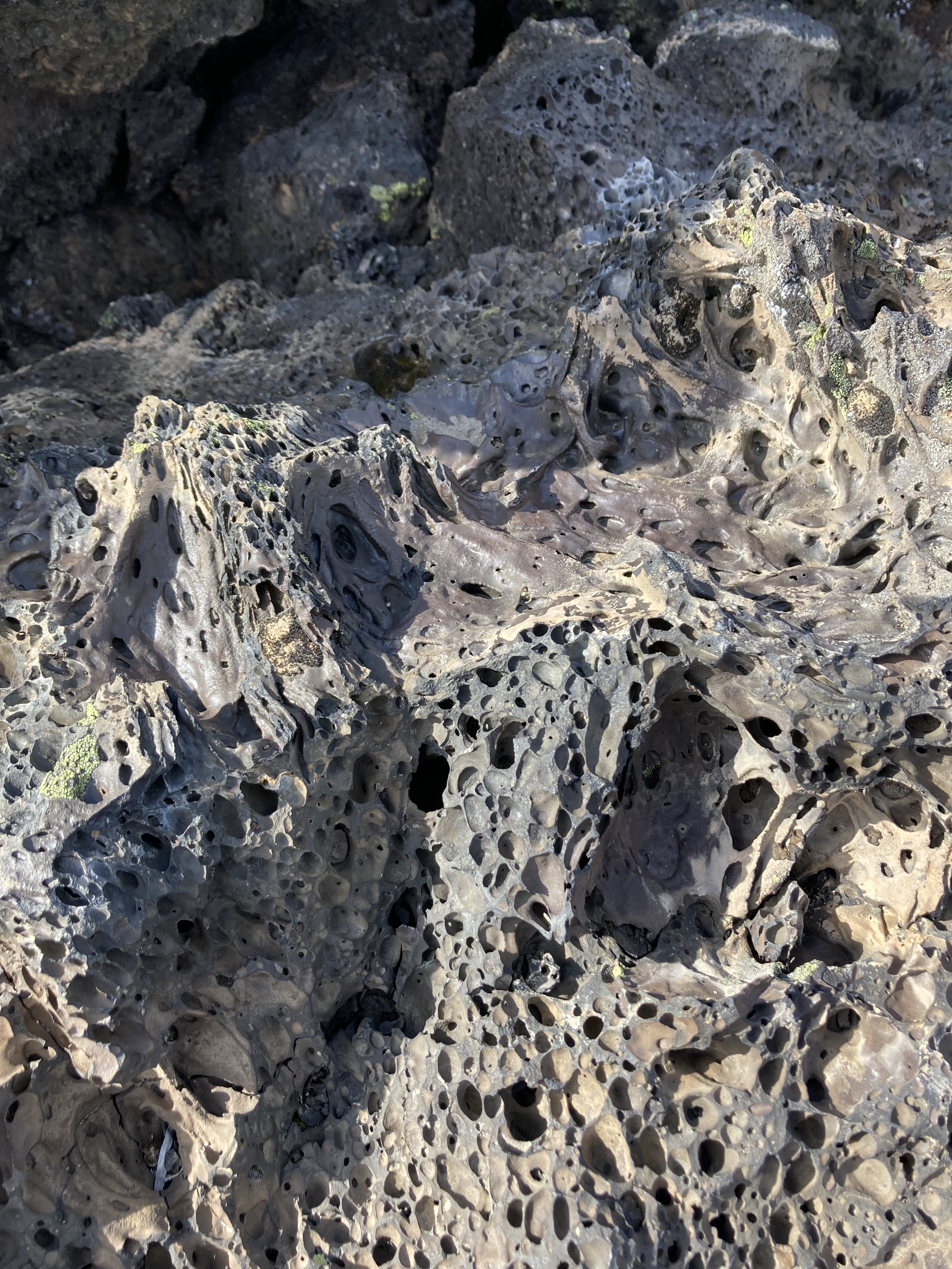
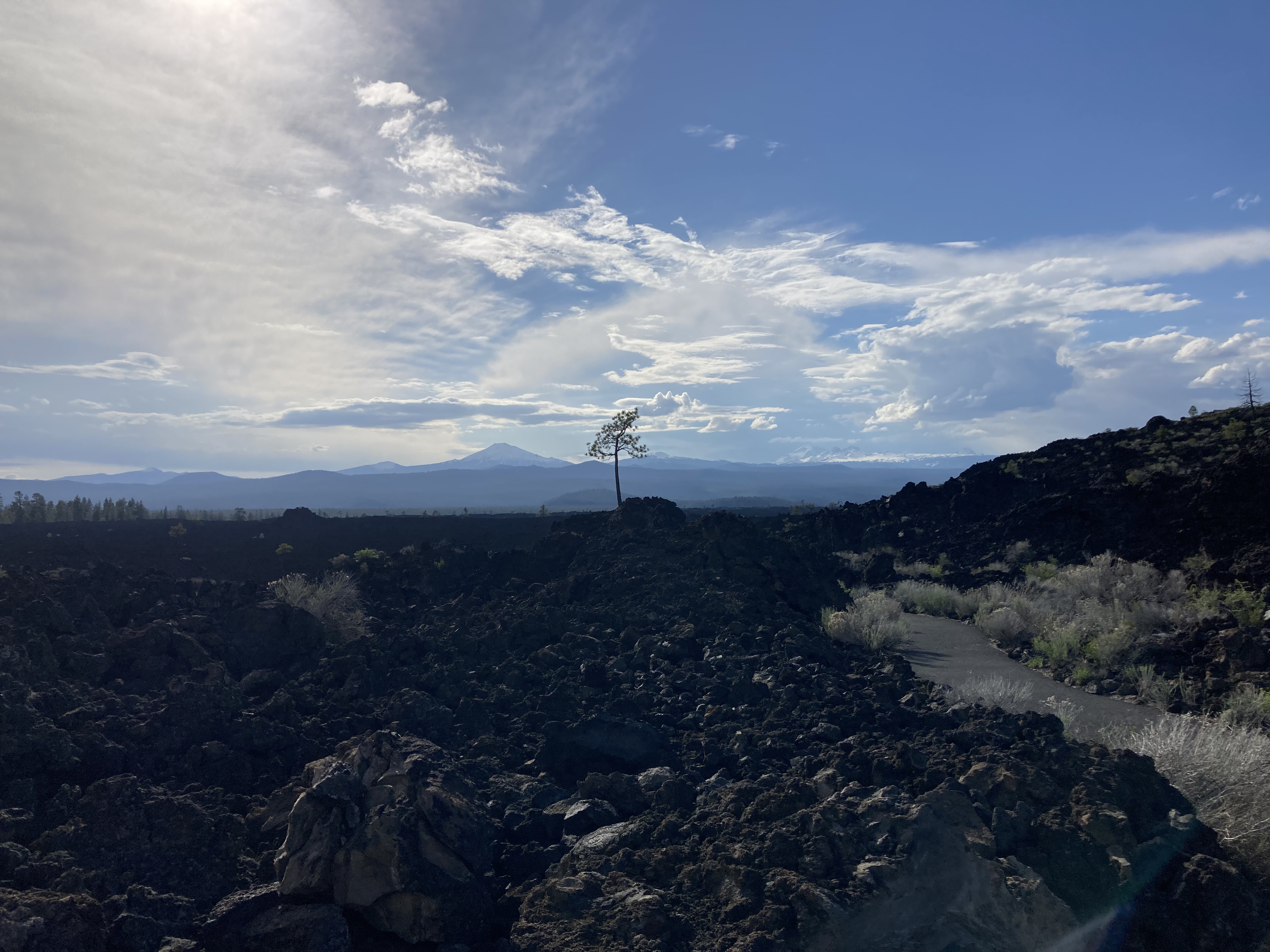
What I did do was park at the Lava Lands Visitor Centre and explore the trails there. I walked up the red cinder road to the top of Lava Butte, a cinder cone. There are views up here into the cone and out to the lava flows and Cascade Range peaks. I also walked Trail of the Molten Land, which gave me an up close look at the lava and the paths it carved out.
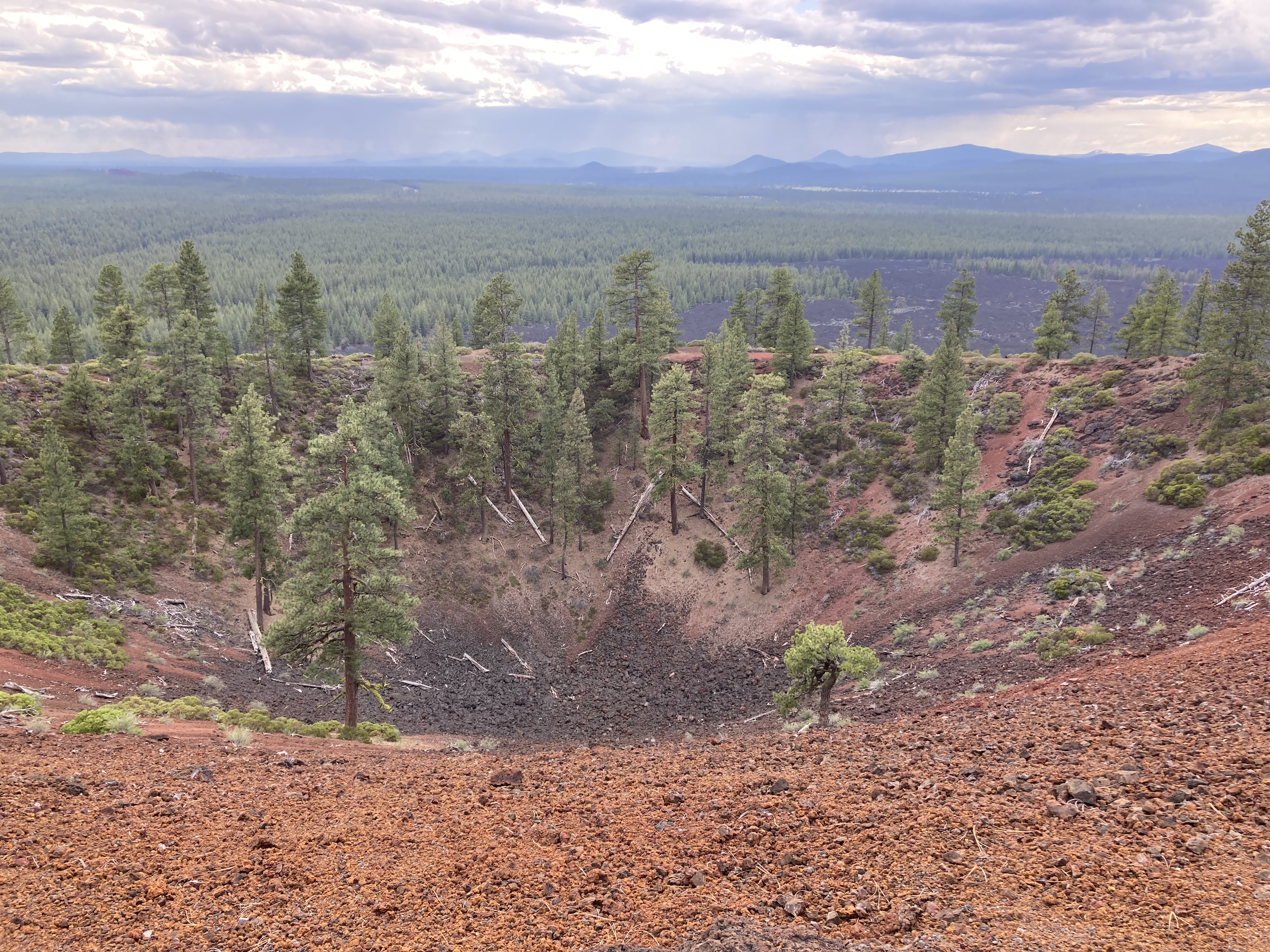
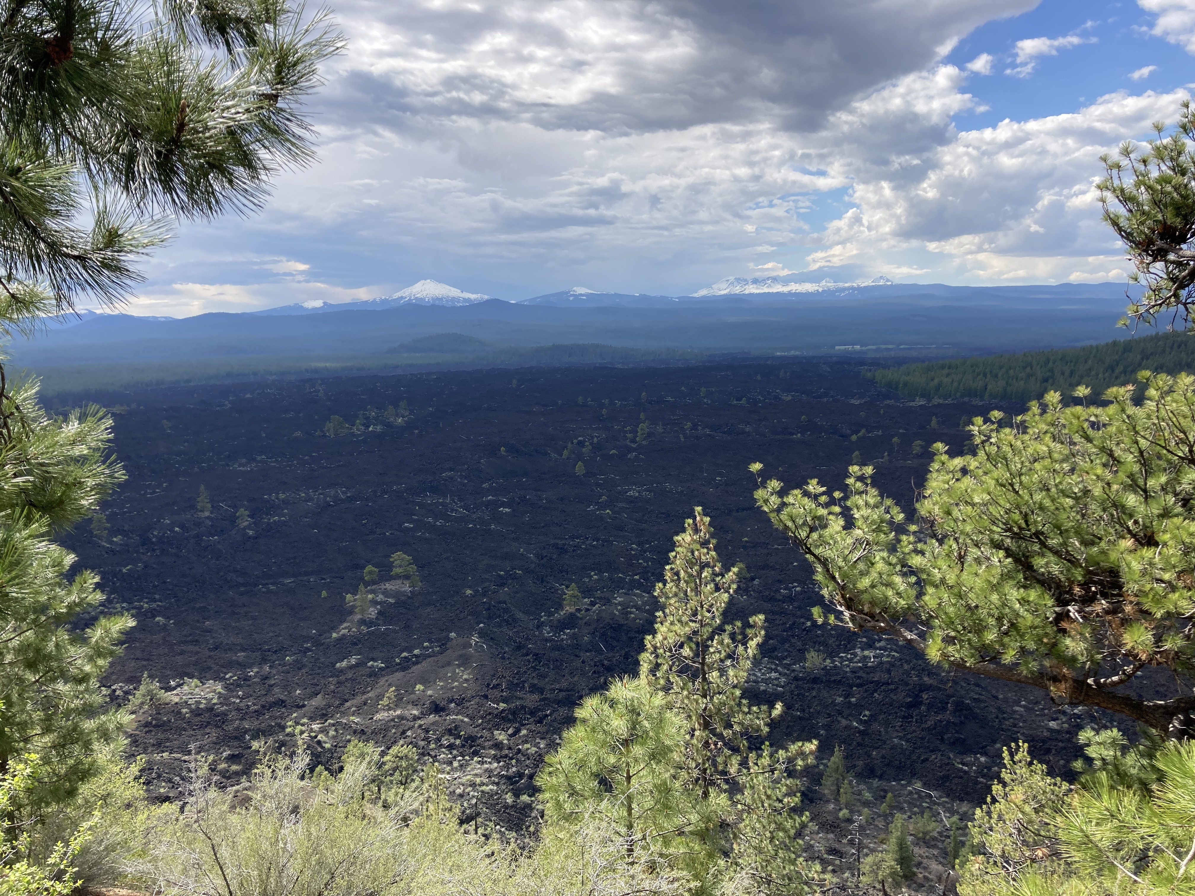
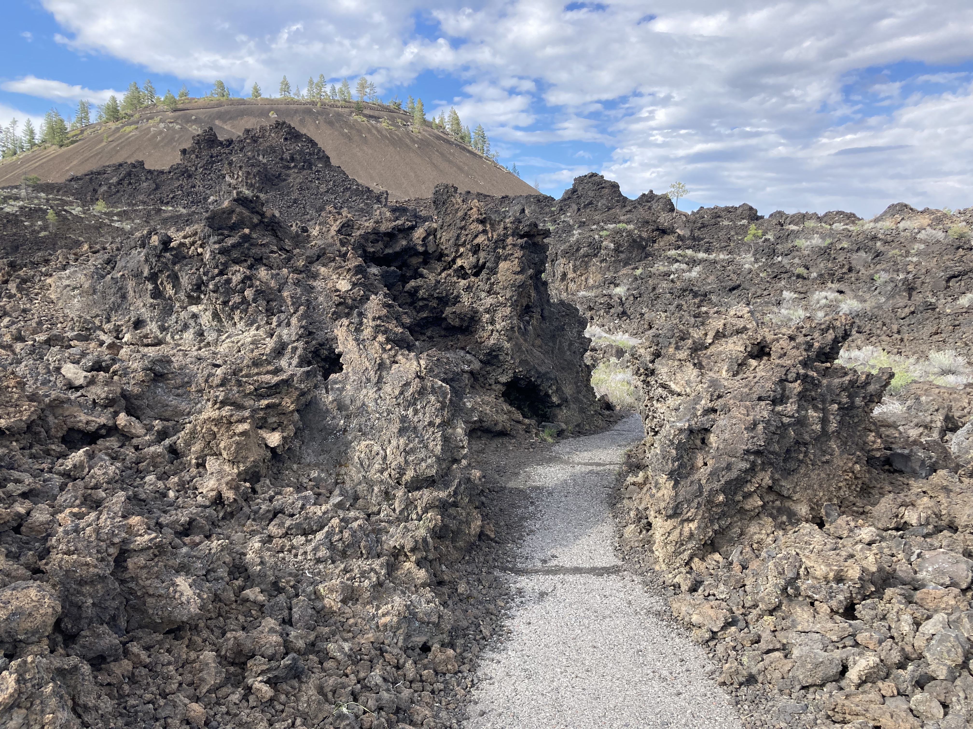
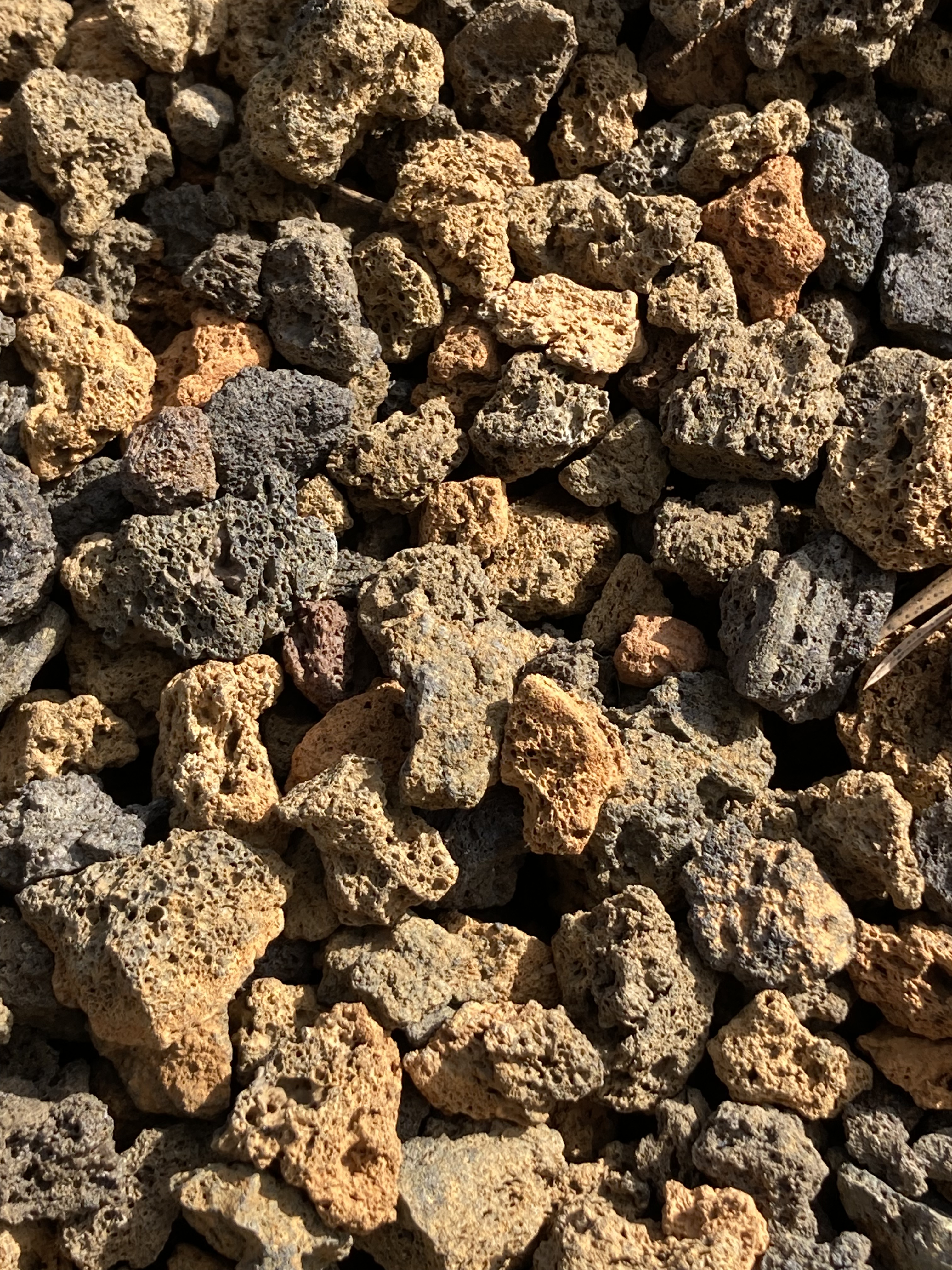
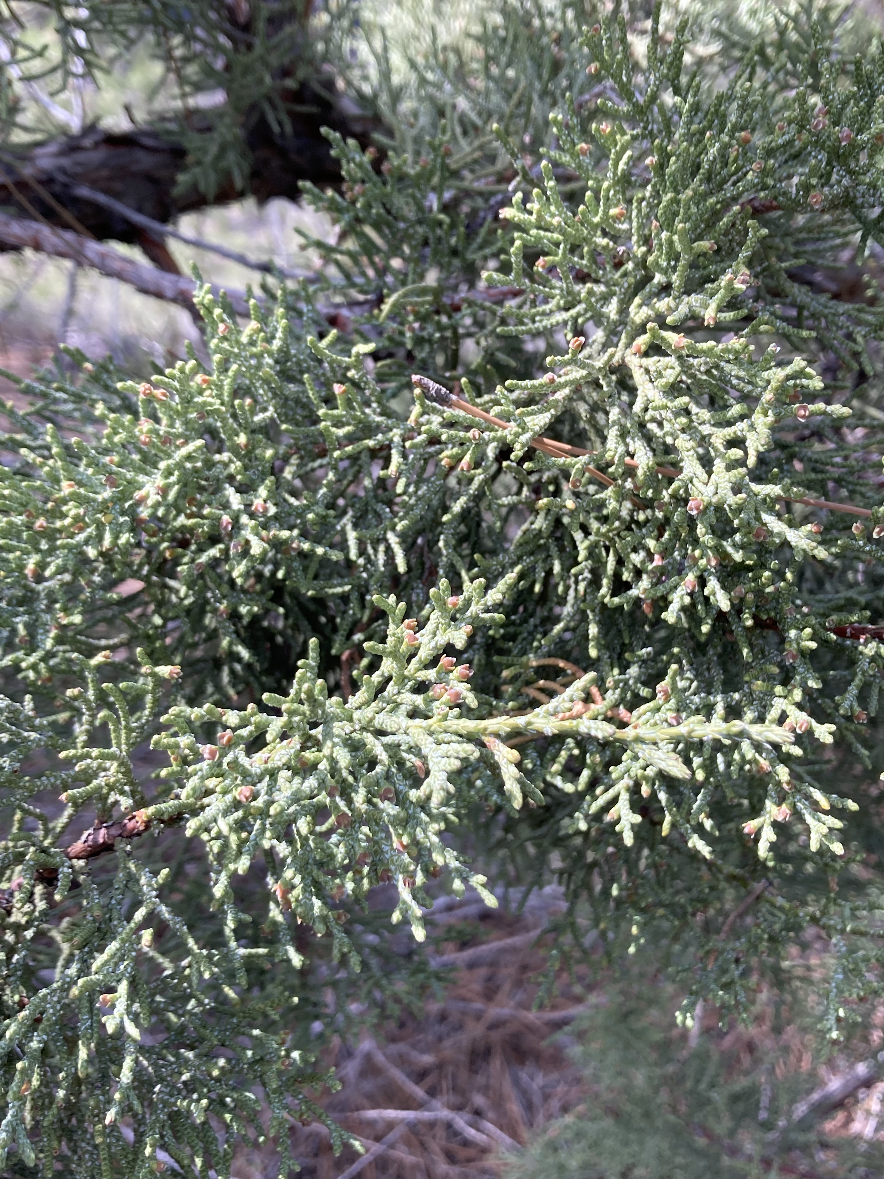
It was here, in Oregon, that I became acquainted with the dank smell of cedar. The cedar here was particularly dank and the smell filled the air.
I also love these types of barren landscapes – it brings me joy to see the plants and singular trees that have found a way to thrive in a harsh environment.
That evening I headed into Bend to do some laundry.
Downtown Bend
I found easy street parking by Drake Park (free 4hr parking, bathroom in the park), which is on Mirror Pond/the Deschutes River, and a short walk to downtown Bend.
I spent an afternoon walking the main streets (NW Oregon Ave, NW Gasoline Alley, NW Minnesota Ave, Wall Street, Bond Street) and exploring shops.
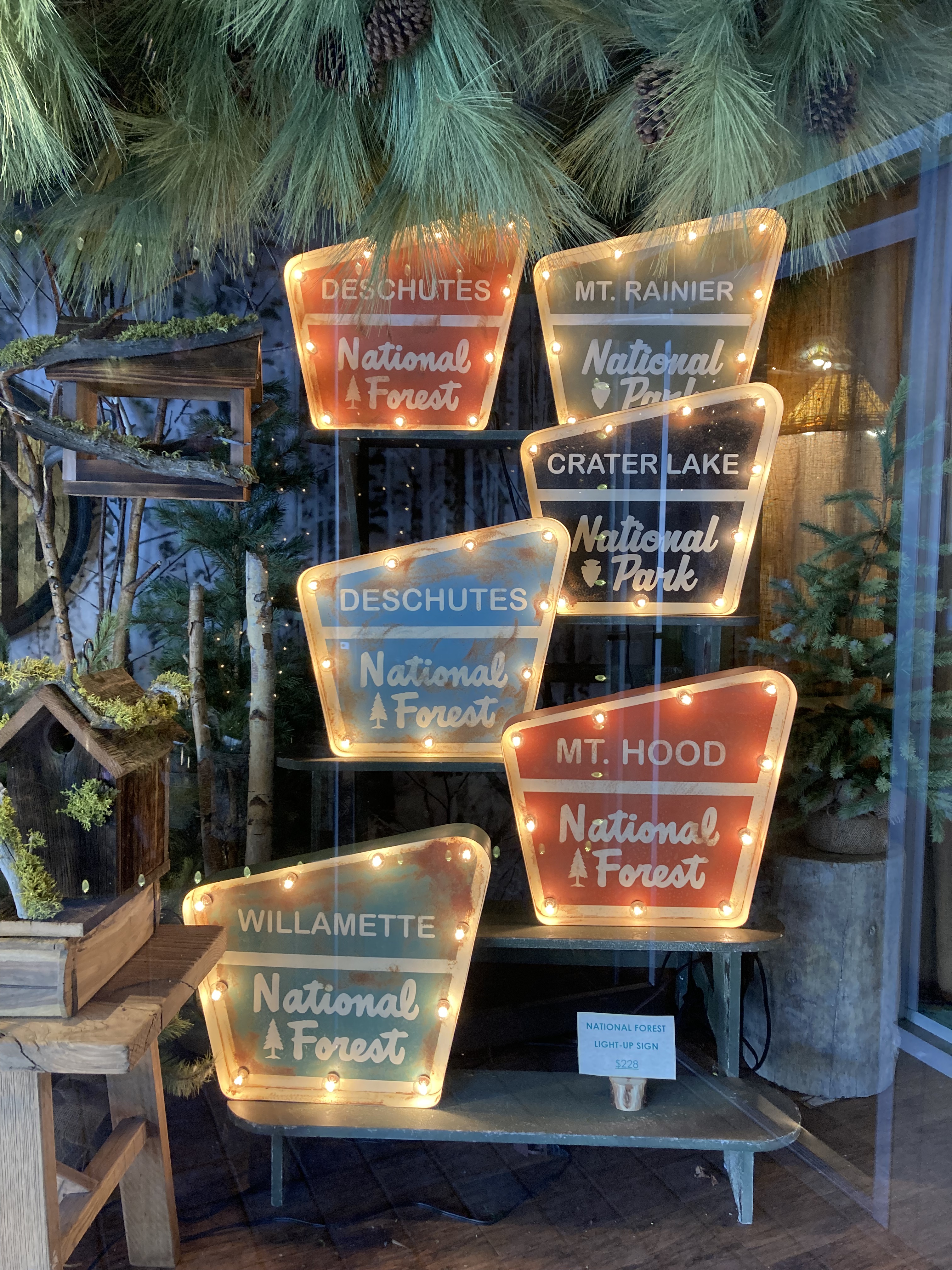
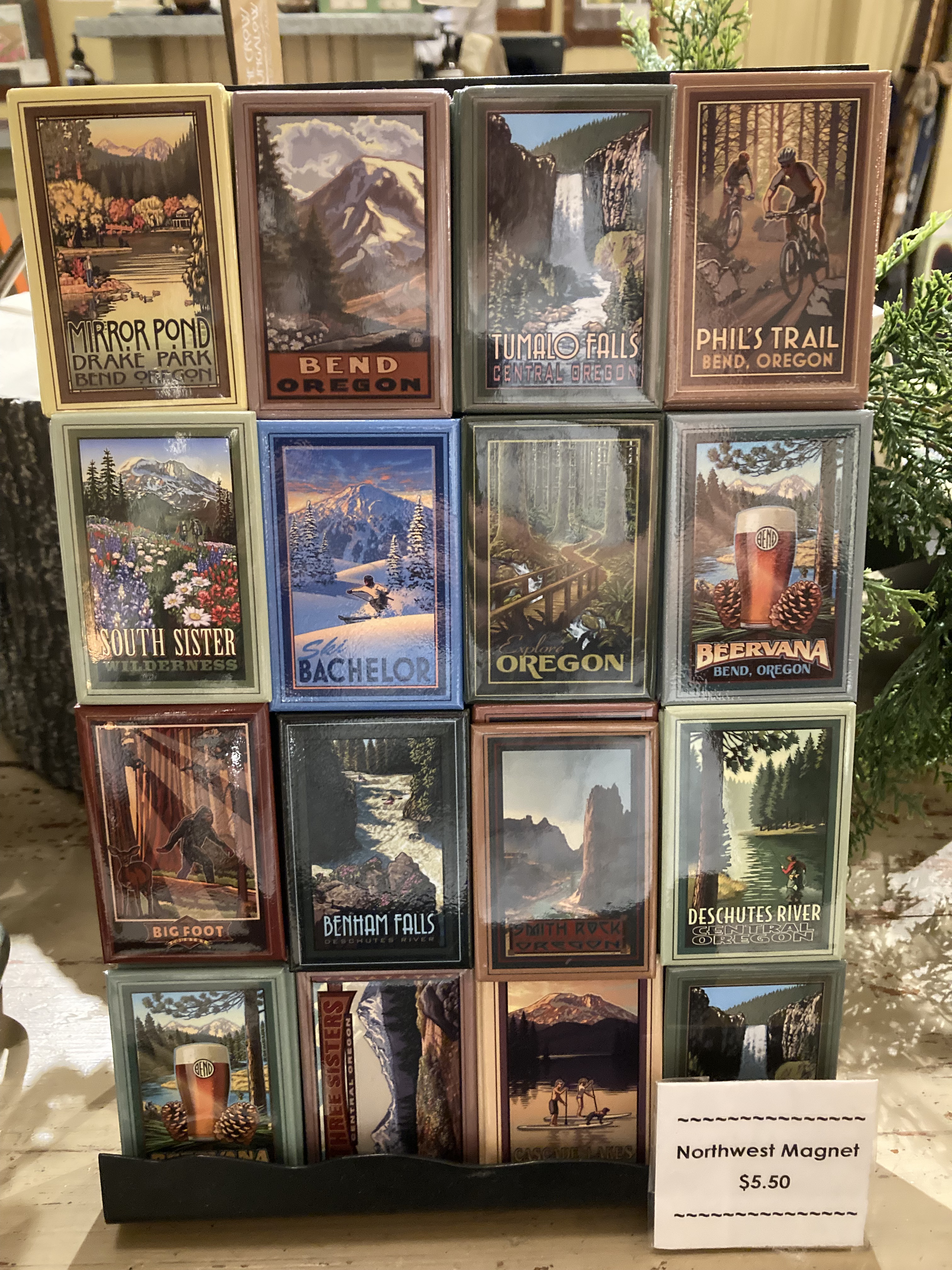
The visitor centre was closed. I also popped in to the post office to mail some post cards – a little old school analog hobby I like to engage in on the road – collecting postcards from the destinations I hit, keeping some for myself and mailing some to friends and family.
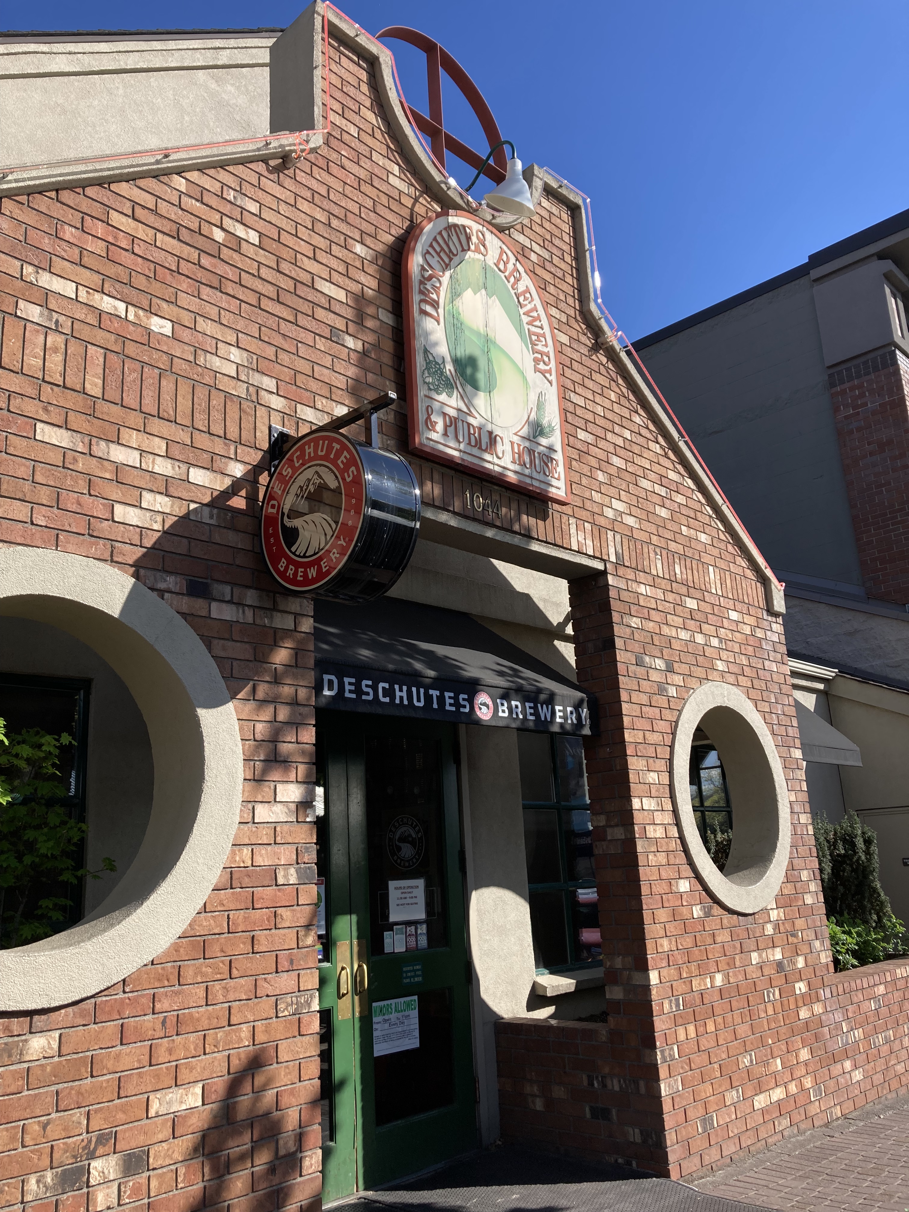
I of course popped in to one of the many breweries in Bend – Deschutes Brewery. They are largely credited with helping launch the small craft brewery craze and inspiring the next generation of brewers and breweries. The beer was good, but I’m not a big fan of the sports bar setting.
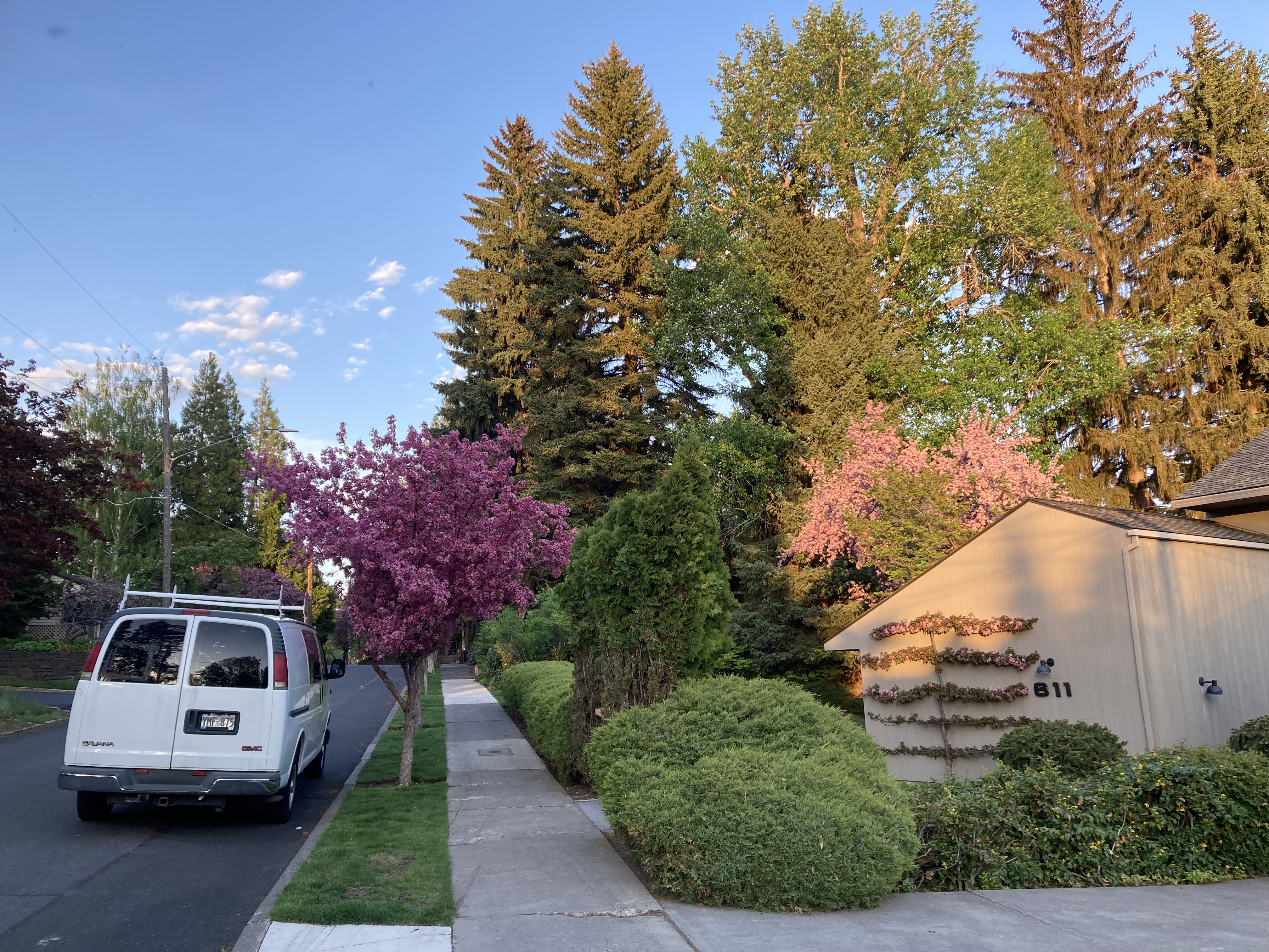
I walked along the river back to the van, crossing a bridge and exploring the neighbourhood. Flowers were blooming in the trees and it was quite a pretty area.
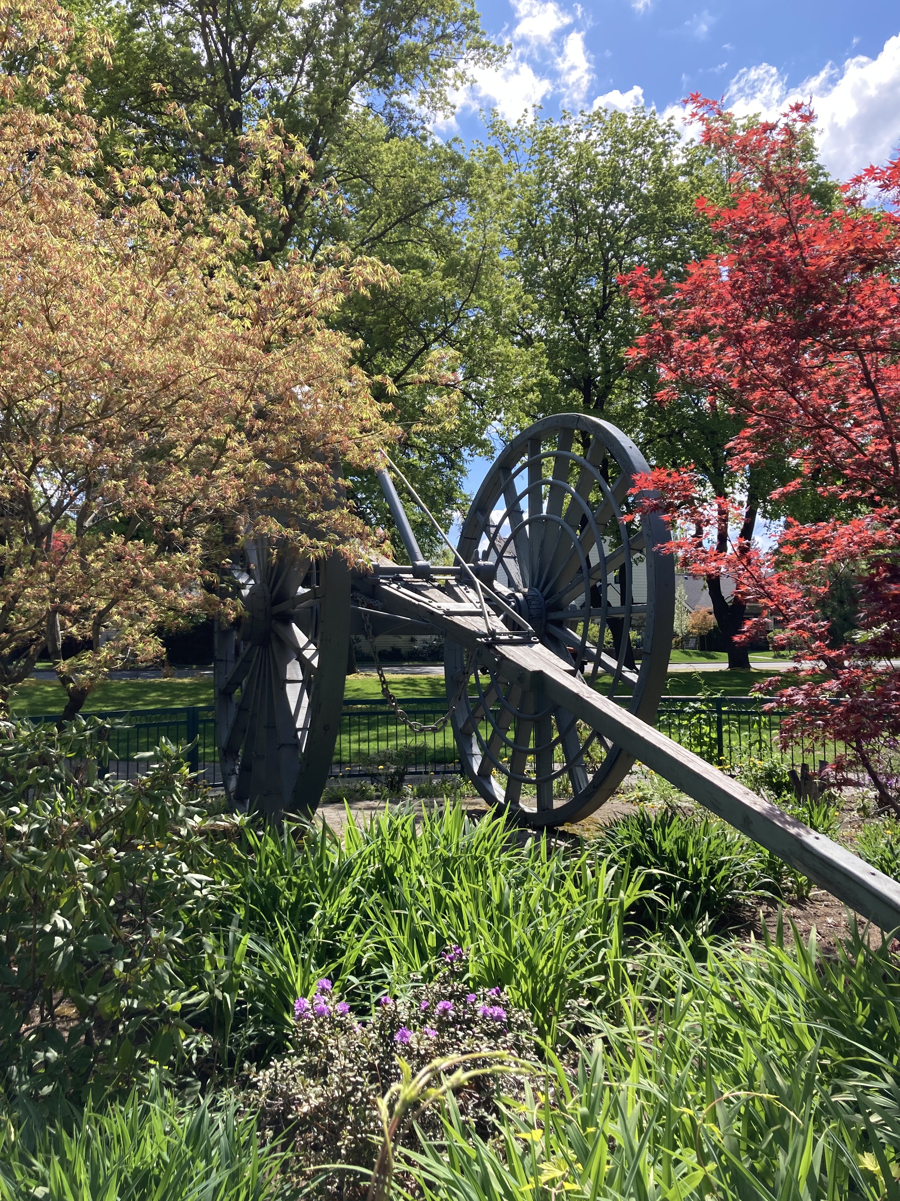
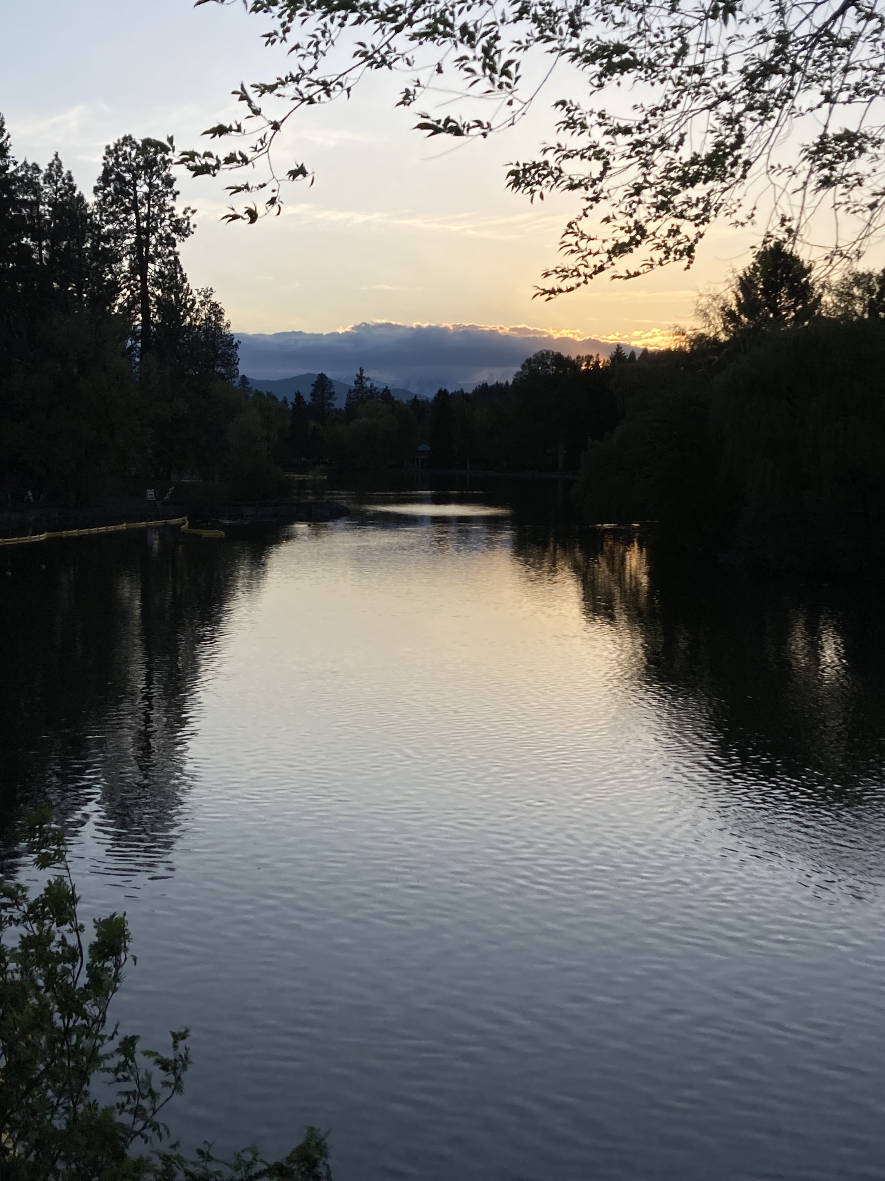
That night I headed up SW Century Drive, also known as Cascade Lakes Highway, or the beginning of the Cascade Lakes Scenic Byway, into Deschutes National Forest, to an overnight spot on a forest road. There was a crowd of people near the mouth of the road, but I drove in further, where it was quieter. It was quite a narrow dirt road, with potholes, so I drove slowly and hoped no one would be driving from the other direction. I found a small little camp spot off the road to back into for the night.
Mount Bachelor
The next morning I continued on the Cascade Byway to west village at Mount Bachelor. The byway beyond Mount Bachelor/ toward the Three Sisters was closed, still covered with snow. There was a large parking lot at Mount Bachelor and people were downhill skiing. There were also lots of bathrooms and token showers here. I took in the views of Mount Bachelor, the Three Sisters, and Broken Top. I’d really love to come back here in the summer to do some hiking in the Three Sisters Wilderness.
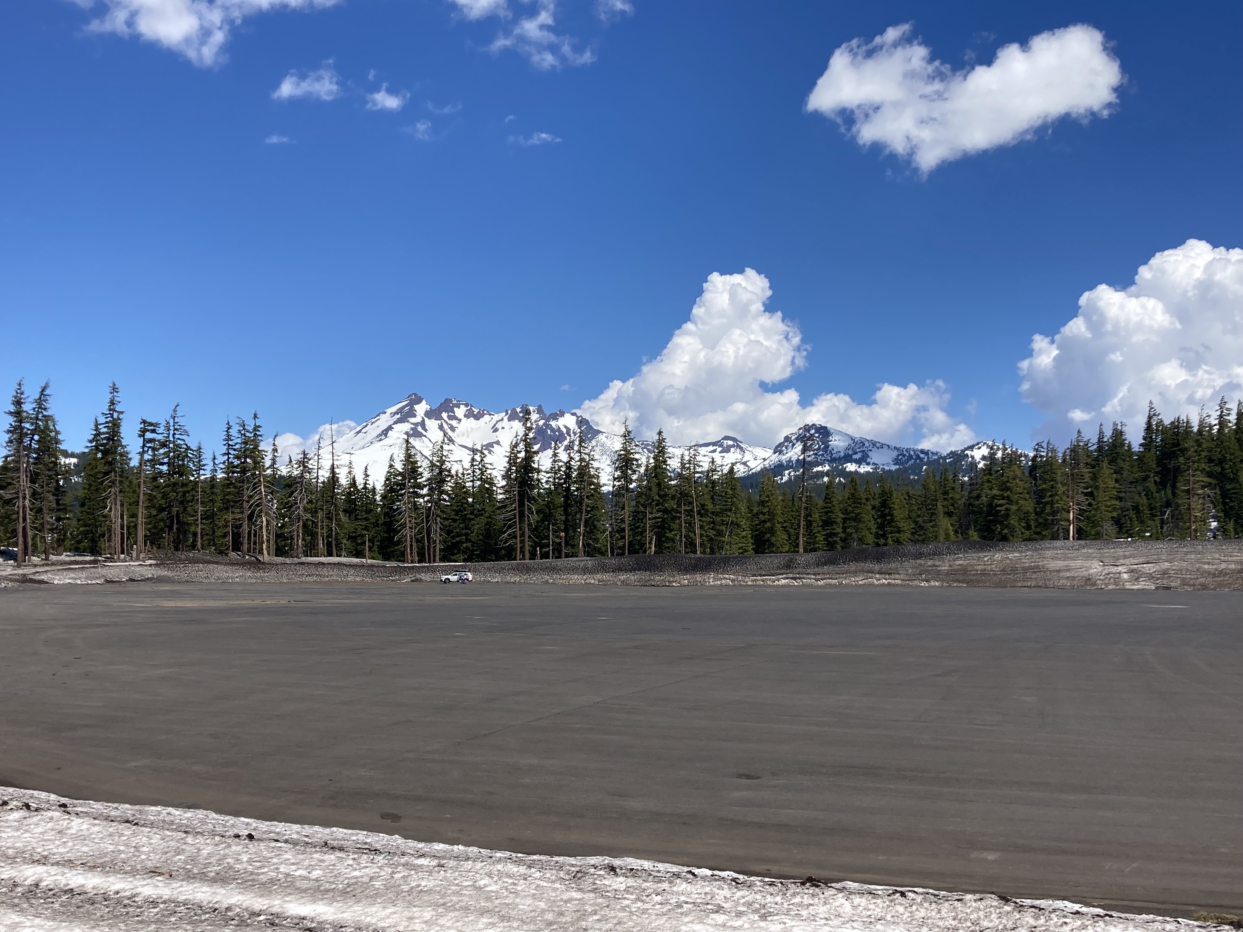
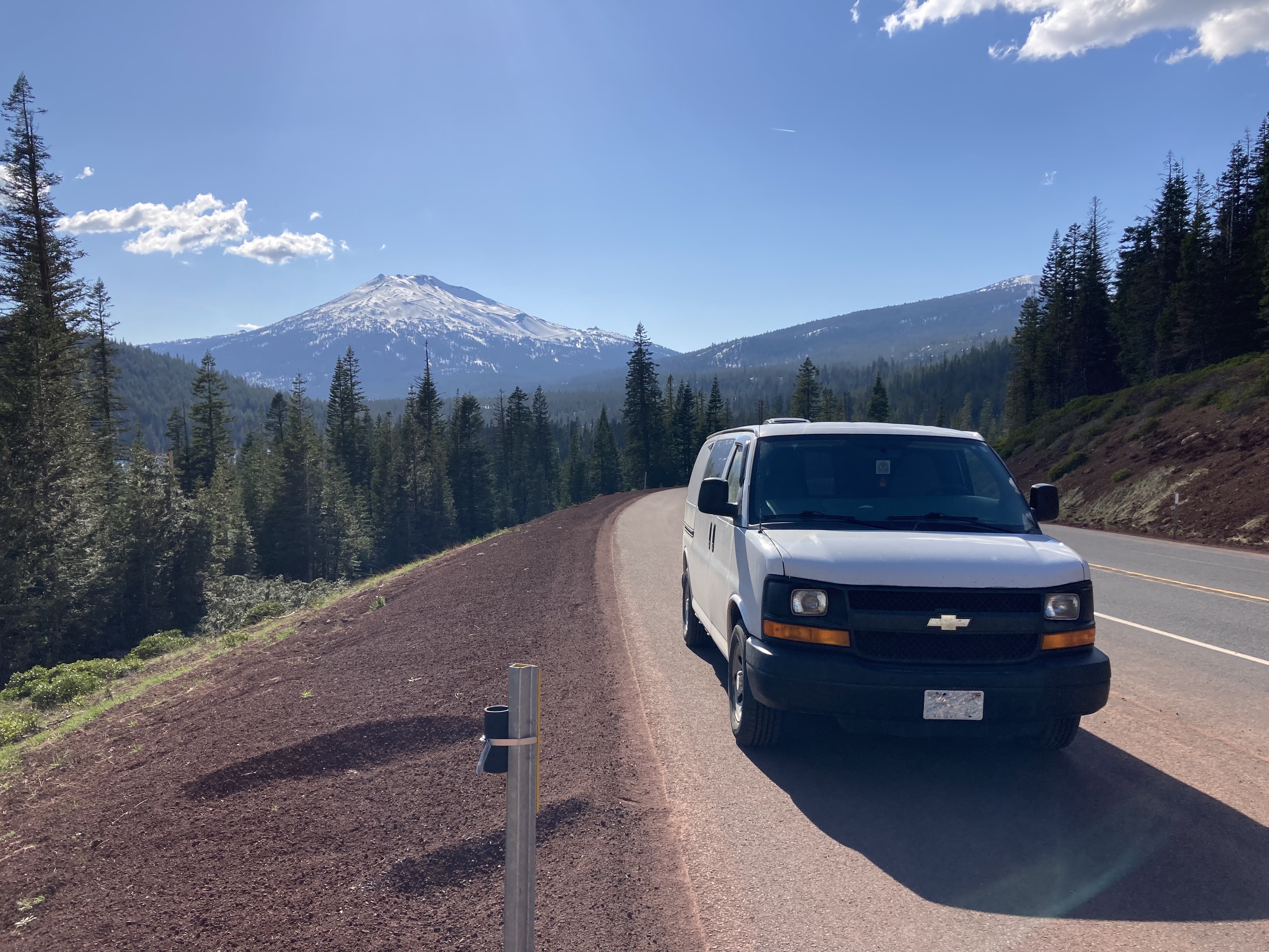
It was here that I realized this was like surf culture – but in the mountains.
Breweries
I was almost in Beervana (Portland). But my impression was that the moniker extended somewhat to Oregon as a whole, and Bend felt like a good place to start exploring what was on offer (it has over 30 breweries).
Side note: If you look up the best US cities for beer, many point to Portland, OR. But some other cities that come up over and over include Asheville, NC, Portland, ME, Richmond, VA, Chicago, IL, San Diego, CA, Grand Rapids, MI, Cleveland, OH, Burlington, VT, and Denver, CO.
After checking out Mount Bachelor, I made my way back to Bend to check out a couple more breweries. The tough thing about being on the road, always being the designated driver, and having a short window for exploration, is that it’s hard to experience as much as you want to in places where there are a lot of renowned breweries. I suppose that’s a reason to return in the future. And I will say, just because you can, doesn’t mean you should – and just because there are a lot of breweries, doesn’t mean they’re all stellar (does that perspective help with FOMO?).
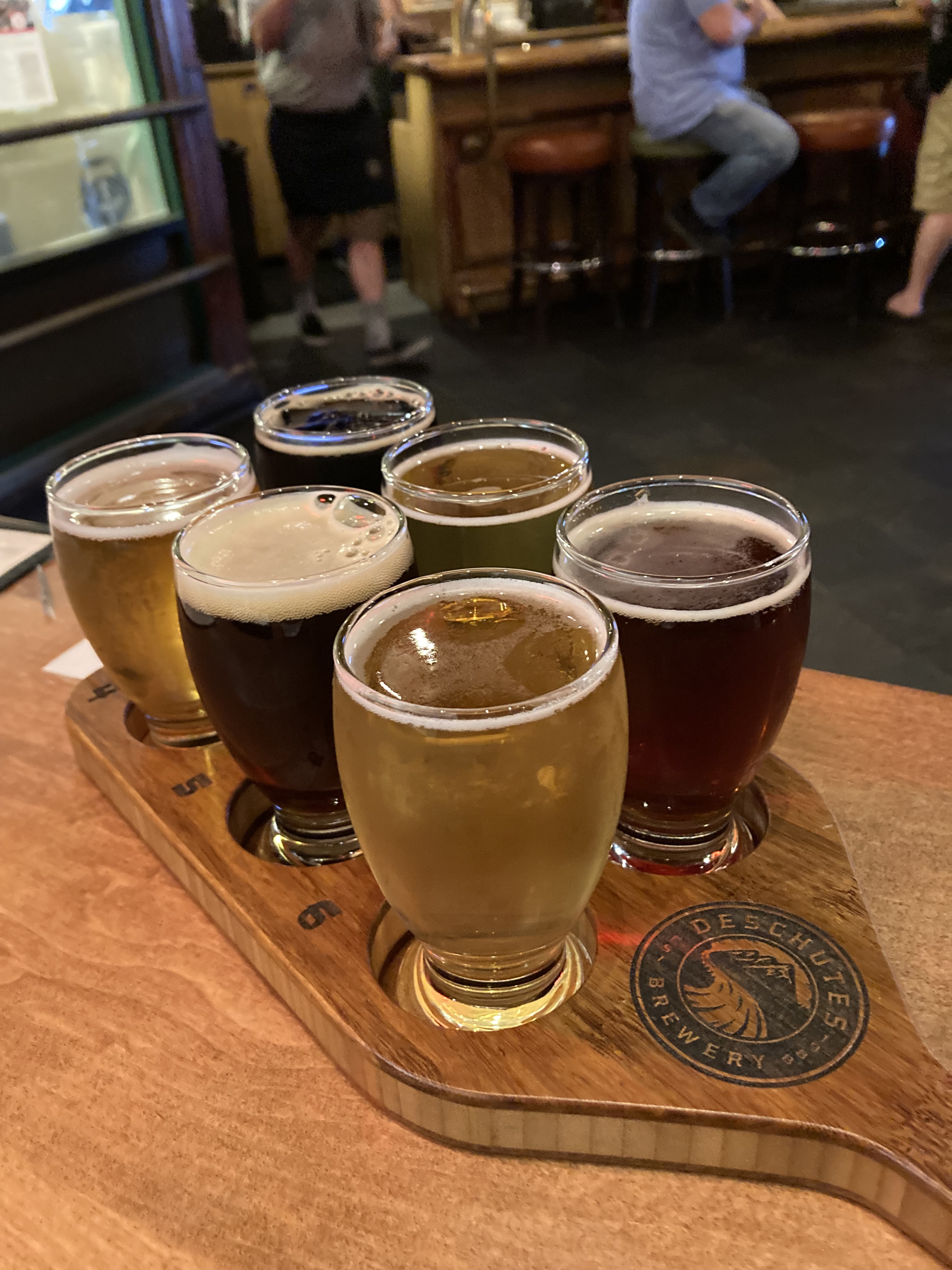
First up: Bend Brewing. The place was nice. It was a sizeable location and right downtown, so it was quite busy. Here I discovered that “flights” are not called flights in Oregon, and they don’t come in fours – they come in sixes.
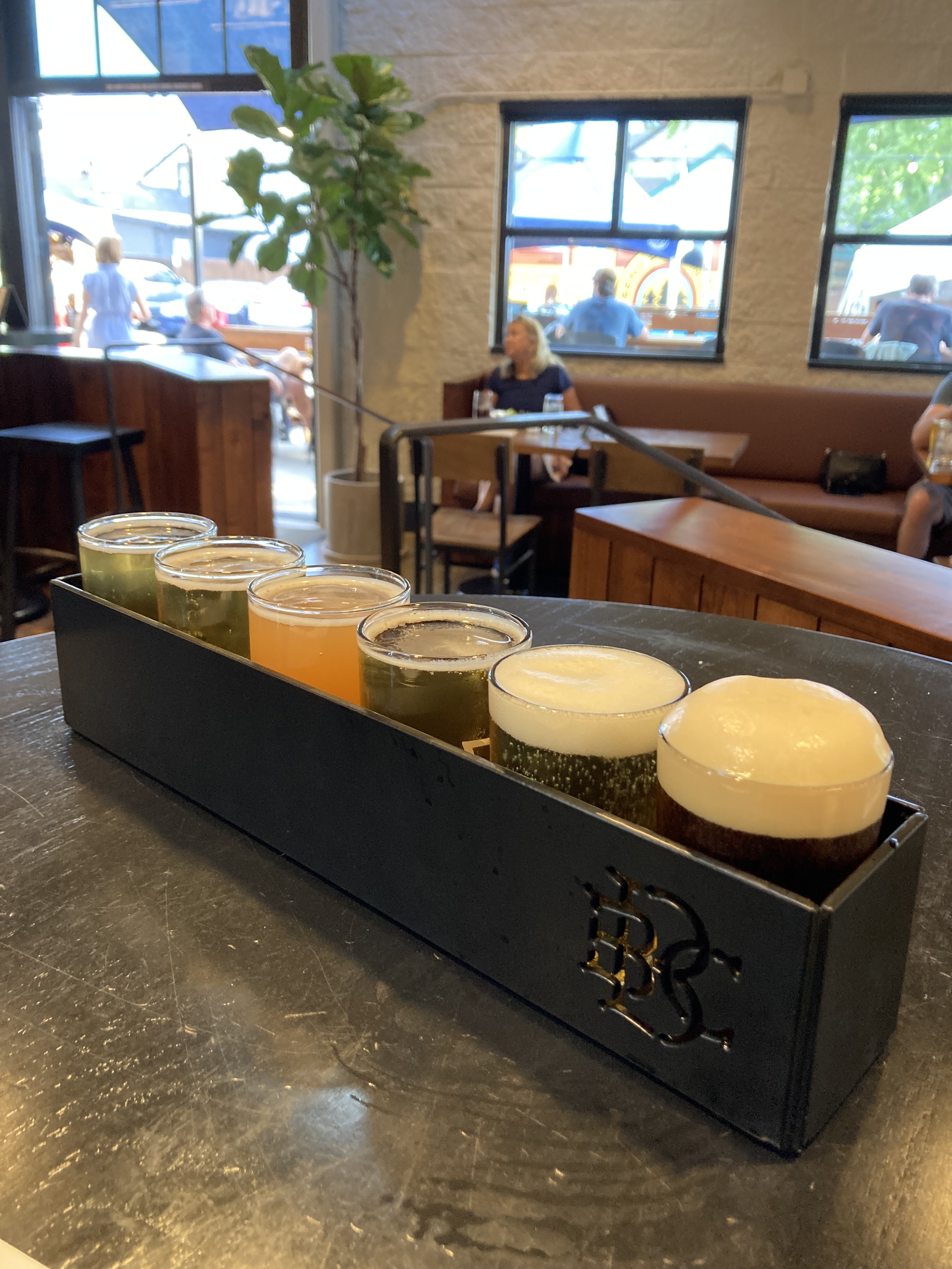
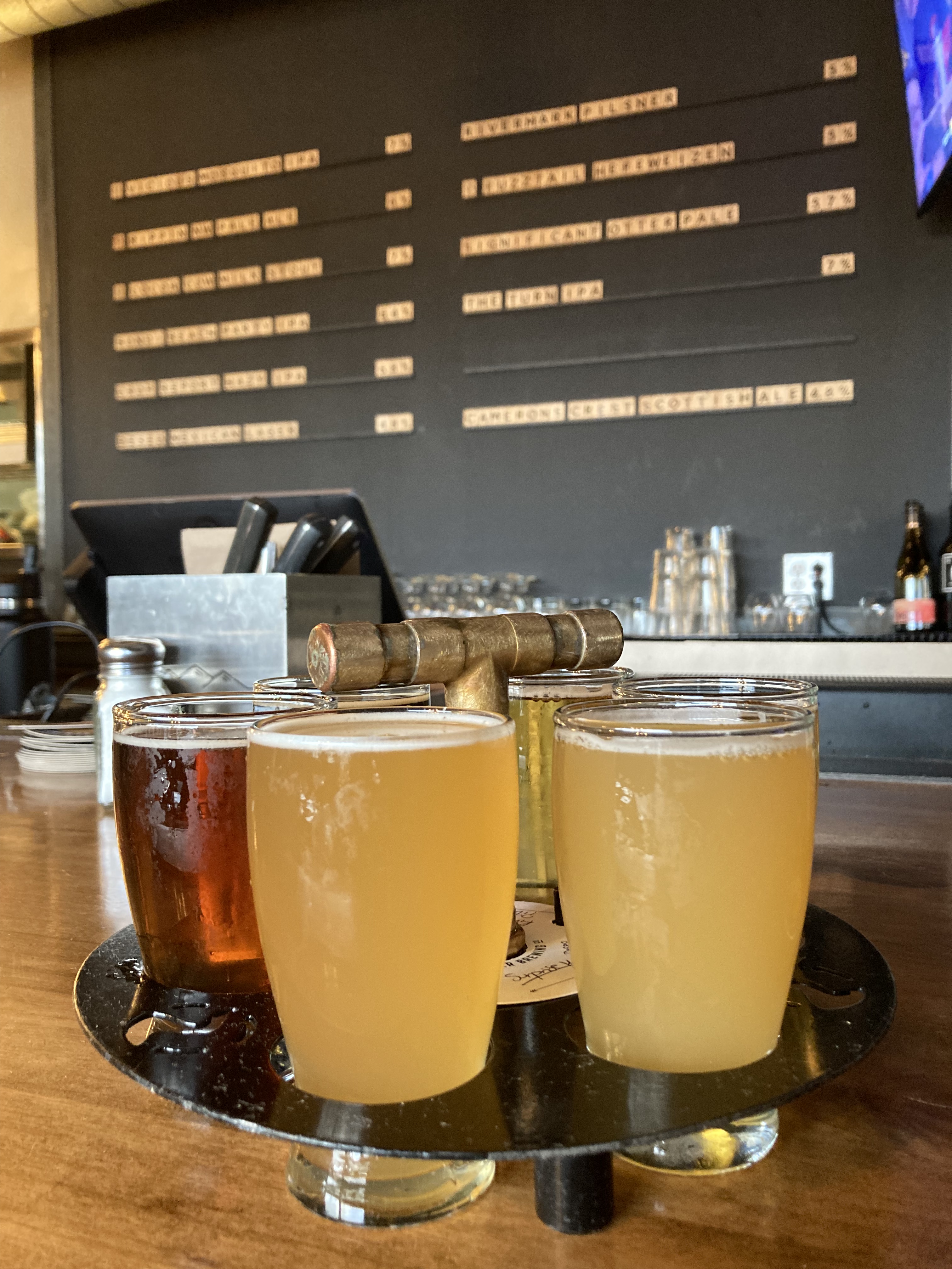
A short walk along the Deschutes River and through Drake Park took me to Sunriver Brewing. This place was a bit smaller and more chill. I sat at the bar and ordered my “flight” with every beer on the menu that was not an IPA, then seeing as all other options were IPAs I left the sixth beer up to the bartender to surprise me. He did well – taking into account my apparent preferences and recommending an IPA that he thought I would be most likely to find palatable – and I actually enjoyed it.
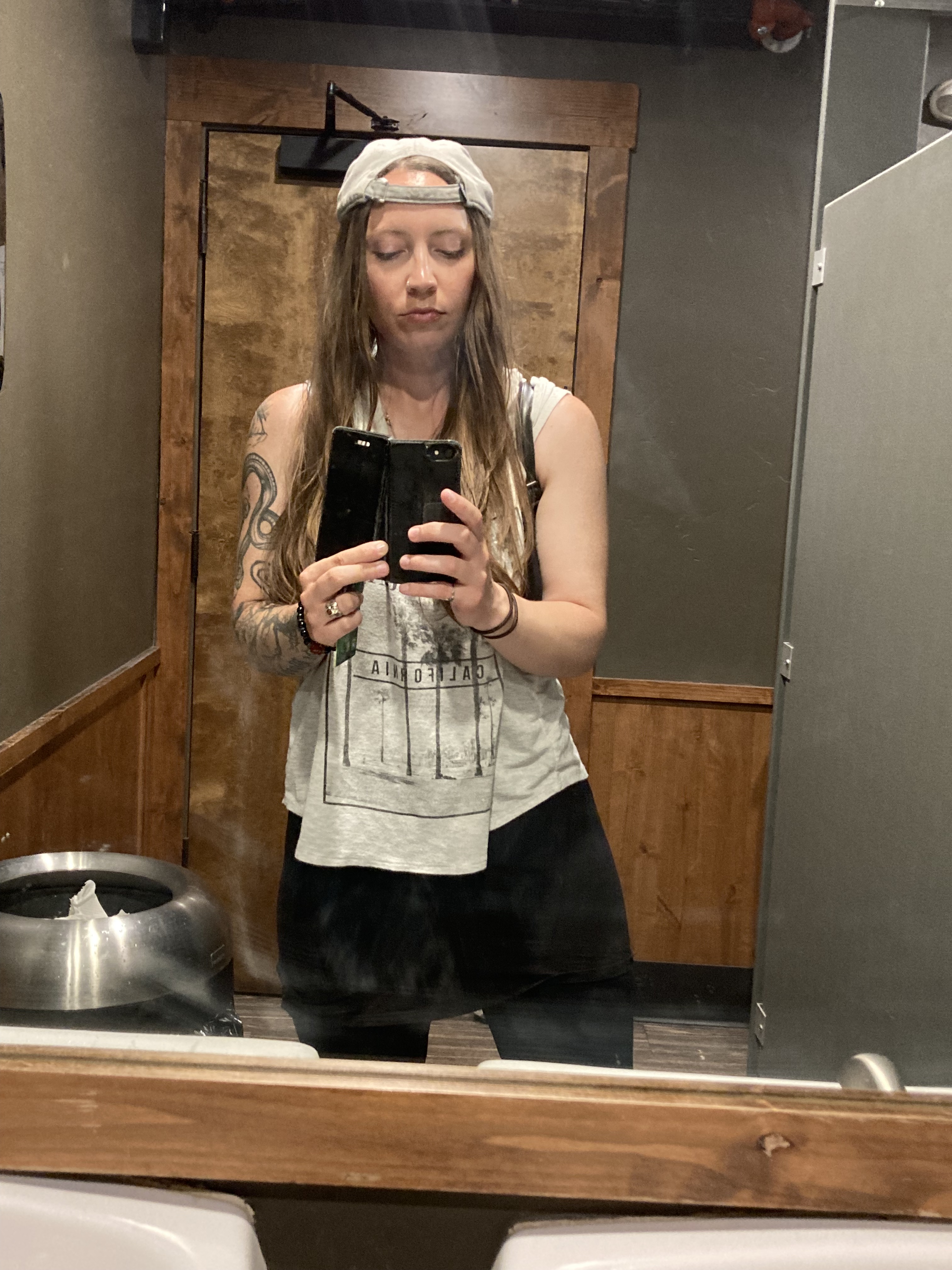
Before leaving I took an obligatory bathroom selfie and grabbed a couple of cans to take with me (the Cocoa Cow Milk Stout was quite good). The manager was friendly and we got to talking. We touched on my travels and somehow got onto seeing bands play live and how I was going to Seattle soon and loving the grunge scene. He mentioned Nine Inch Nails and Deftones and then told me Chino Moreno had been here last summer – apparently he sat where I had been at the bar!
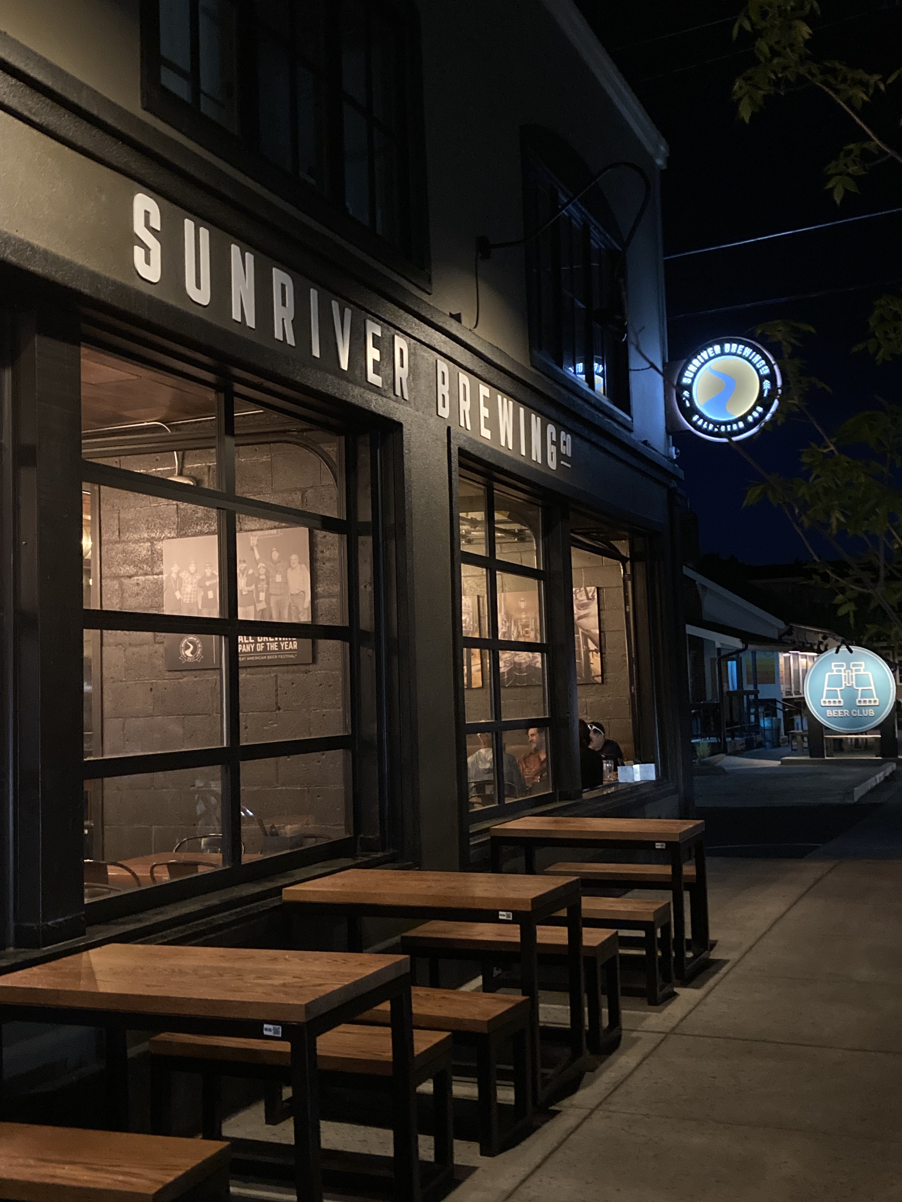
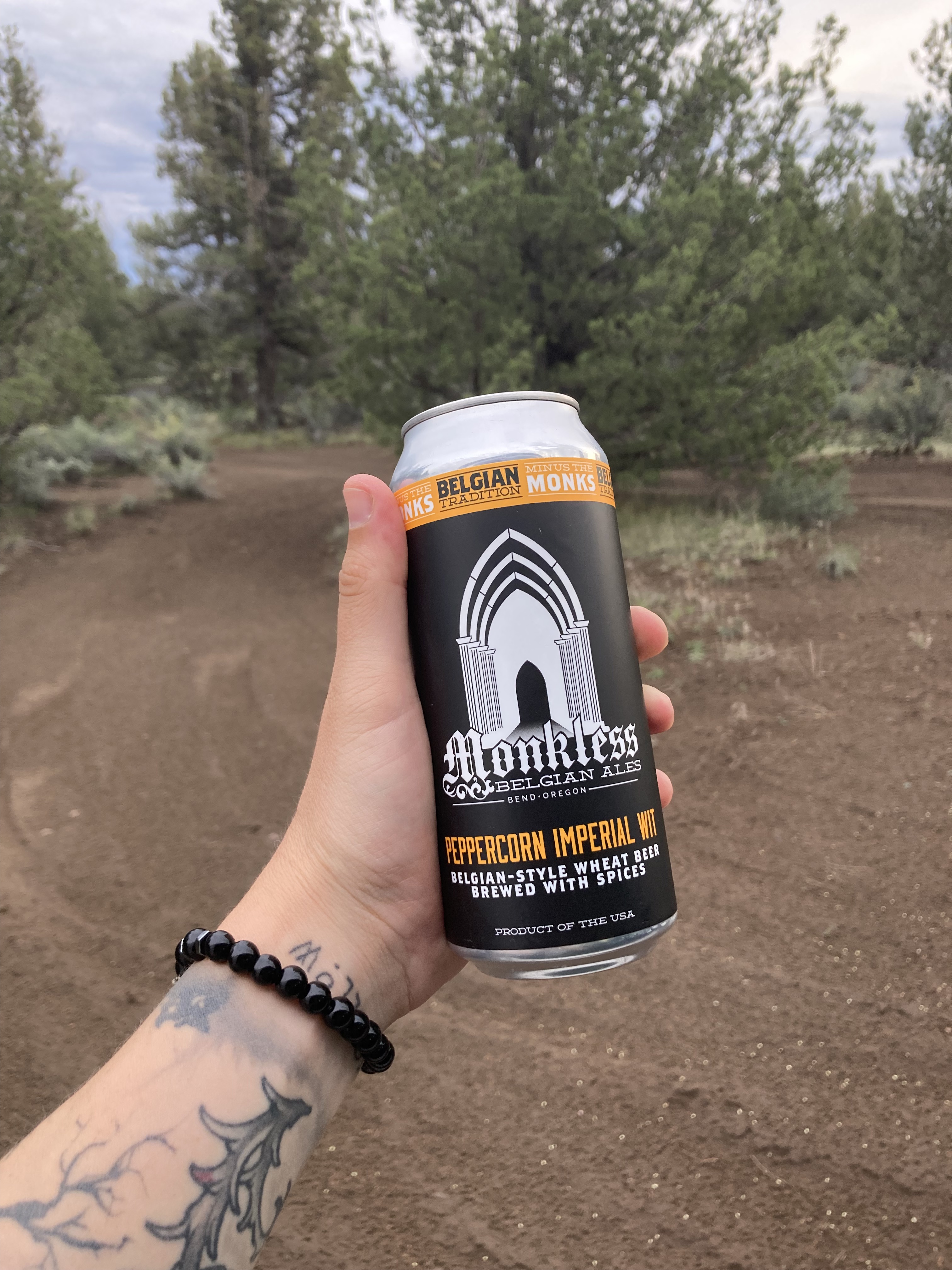
If I were to choose, I think I liked Deschutes Brewery’s beer best. But I liked the Sunriver setting best. And if I can get back here I’d like to check out the breweries Crux Fermentation Project, Monkless (I’m a sucker for Belgian style ales), Ale Apothecary, Cascade Lakes Brewing – and more I’m sure. There’s also the Bend Ale Trail. I did however get my hands on some Crux and Monkless cans.
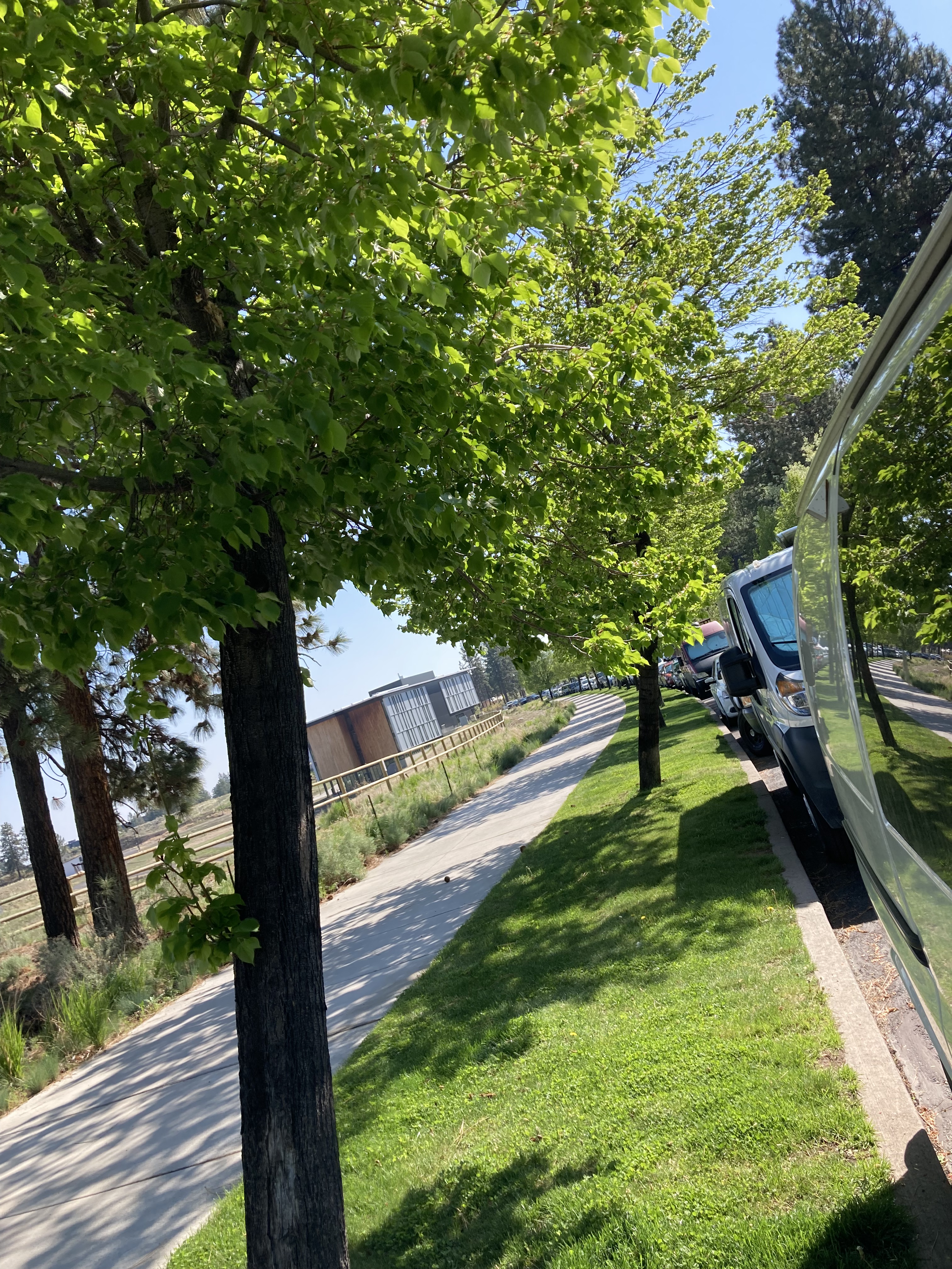
That night I found street parking in Bend via iOverlander (SW Chandler Ave) – convenient and quiet, next to apartments and a field, with other vans parked as well.
And that was it for Bend! I ran a few errands the next morning then headed out.
I was running out of contacts on the road and popped in to an optometrist’s office. While I was unable to get a box of contacts, they were able to help me out with samples to tide me over.
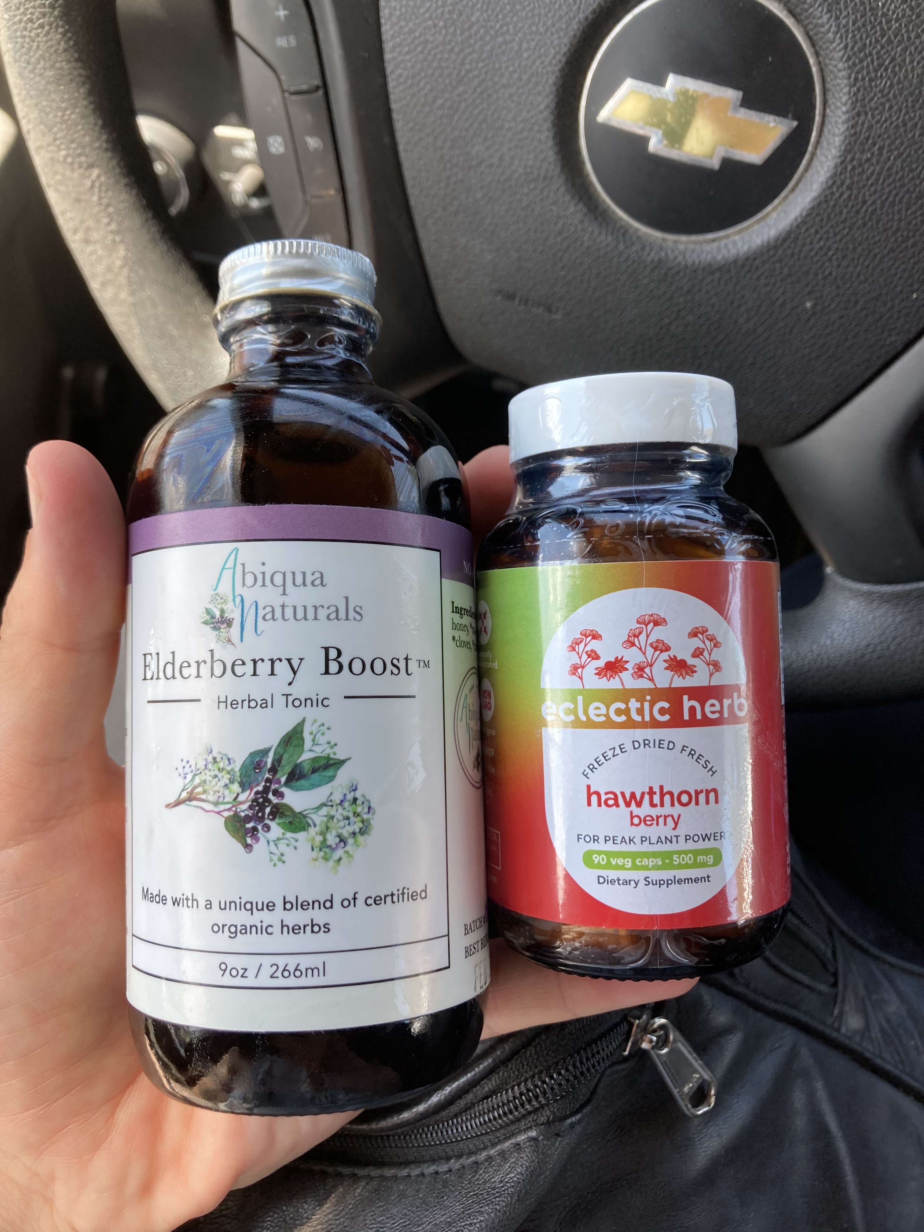
I also went to an herbal apothecary and picked up Elderberry syrup and Hawthorn supplements. I have a history with herbalism and being on the road can run you down, so I like to have something like elderberry or fire cider to take here and there, especially if I feel run down or like a cold is coming on. Ginger and fennel are my go-tos for nausea or stomach upset. And hawthorn was something I wanted at this point in time because my heart had been feeling off. This is something I’ve since gone to the doctor about, and at the time it was likely exacerbated by dehydration and stress (grief). Hawthorn is good for the heart and cardiovascular system and I felt it couldn’t hurt to add it to my arsenal for the time being.
Next Time
- Pilot Butte: Bend’s landmark cinder cone just east of town, with a trail that you can hike to the top, and panoramic views of the city, high desert, and Cascade Mountains.
- Cascade Byway: drive the full byway and explore more places along it, such as Devils Lake, Sparks Lake, or Todd Lake Trail – which are close to Mount Bachelor.
- The Deschutes River: a central feature of Bend that carries runoff from the Cascades all the way to the Columbia River. You can float or paddle your way down the river, do whitewater rafting, and even surf at Whitewater Park.
- Tumalo Falls: a 97 foot waterfall in Deschutes National Forest, about half an hour west of Bend.
- High Desert Museum: to get to know the area’s natural and historical attributes.
- The Last Blockbuster: (maybe) albeit independently owned and surviving via merch sales.
Sisters
Sisters is a little town about a half hour drive northwest of Bend. It felt like it catered more to tourists, with an old western vibe and centralized downtown shopping area with old fashioned storefronts. The population is about 3,000 and the town takes its name from the nearby Three Sisters mountains.
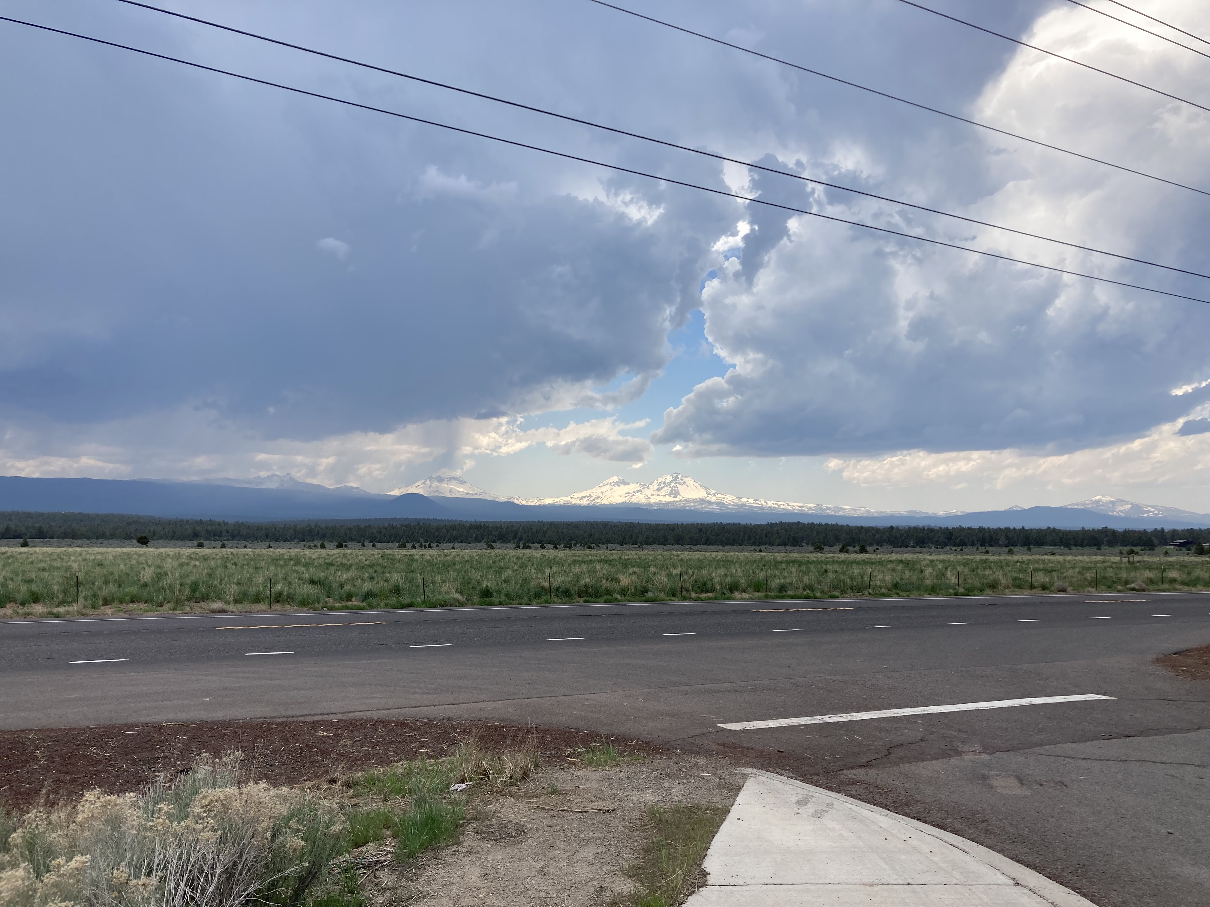
As I drove along Route 20 toward Sisters some pretty dark clouds were rolling in. I pulled over in a turnout to both check the forecast and take in the Three Sisters Mountains to the west. It was 29 degrees C, and from my time in Calgary I knew that summer storms could bring hail – which could be worrisome in terms of causing damage to the van.
On the way to downtown Sisters I passed Three Creeks Brew Pub, which is Sisters’ longest running brewery (or only). I didn’t pop in, but if I were to get back here I probably would.
I found a little parking lot downtown and hunkered down to ride out the storm. There was a weather warning that said large hail could damage vehicles and property. Luckily, there was just rain and smaller hail where I was – the worst of it seemed to hit about 20 minutes away.
When the weather cleared I headed out to walk around downtown. The place certainly has character. They boast an annual rodeo every June. There were vintage shops, antiques, a place called Gypsy Junk that had a little live music stage inside, and even one spot that specialized in clocks.
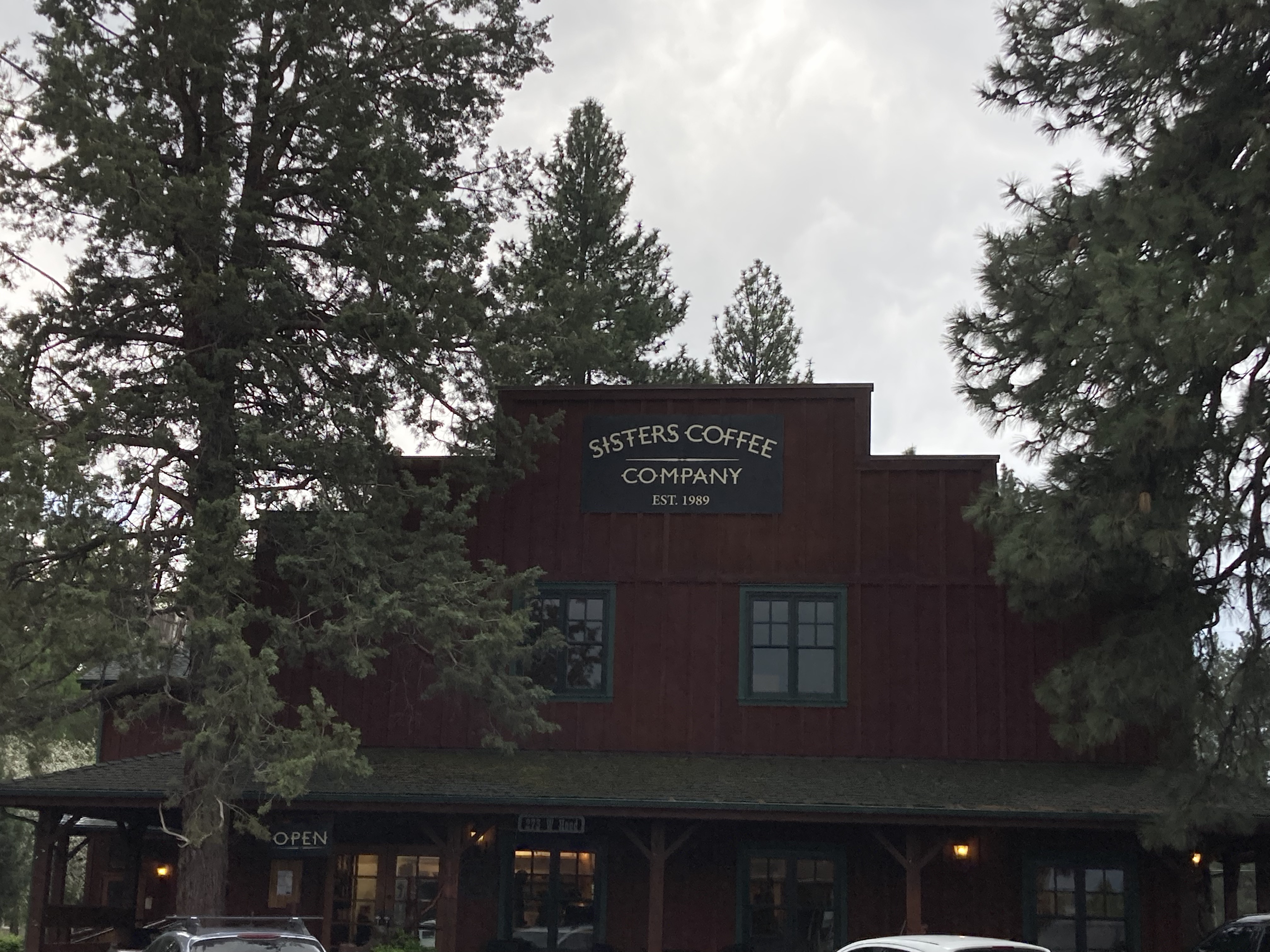
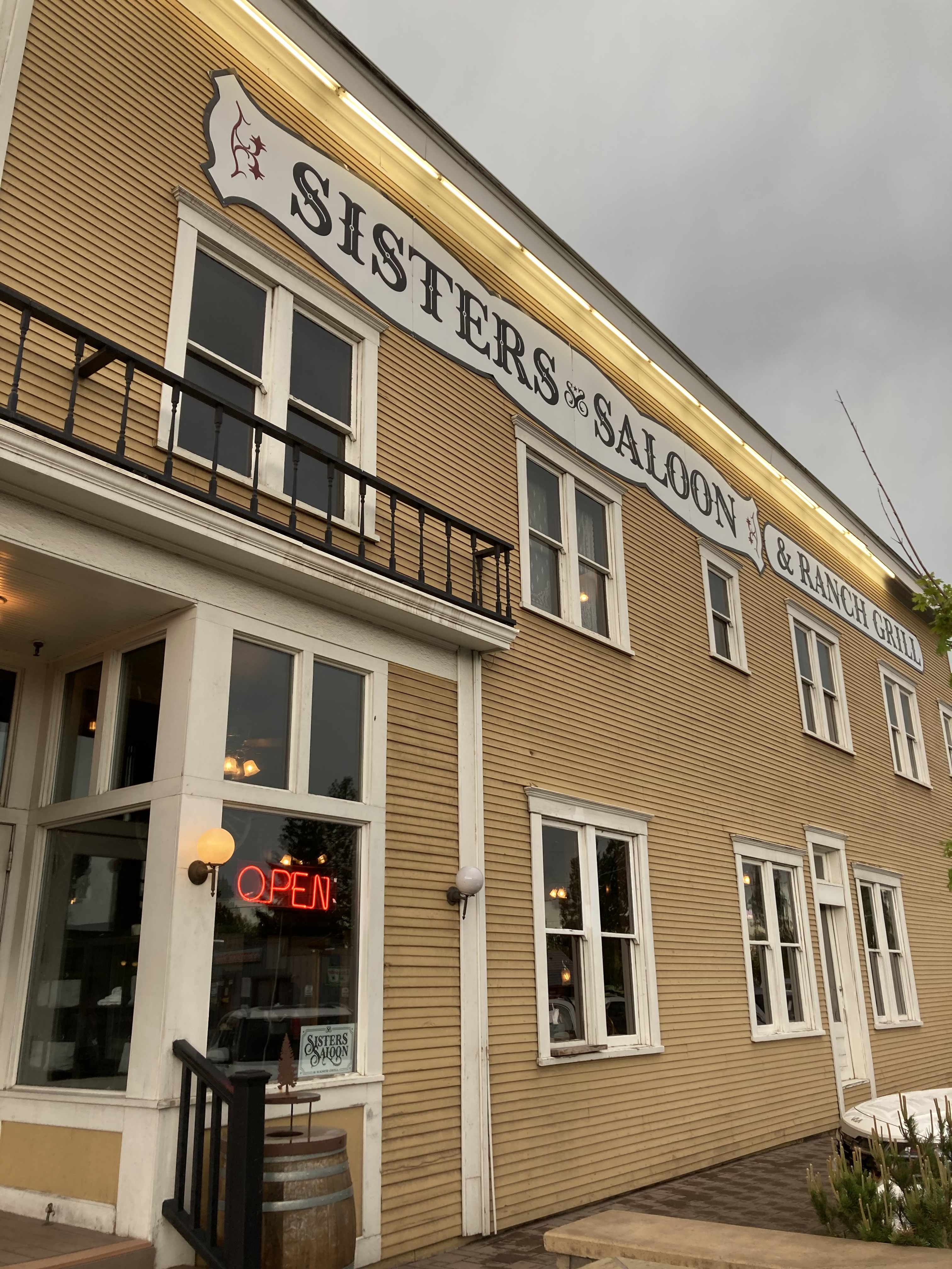
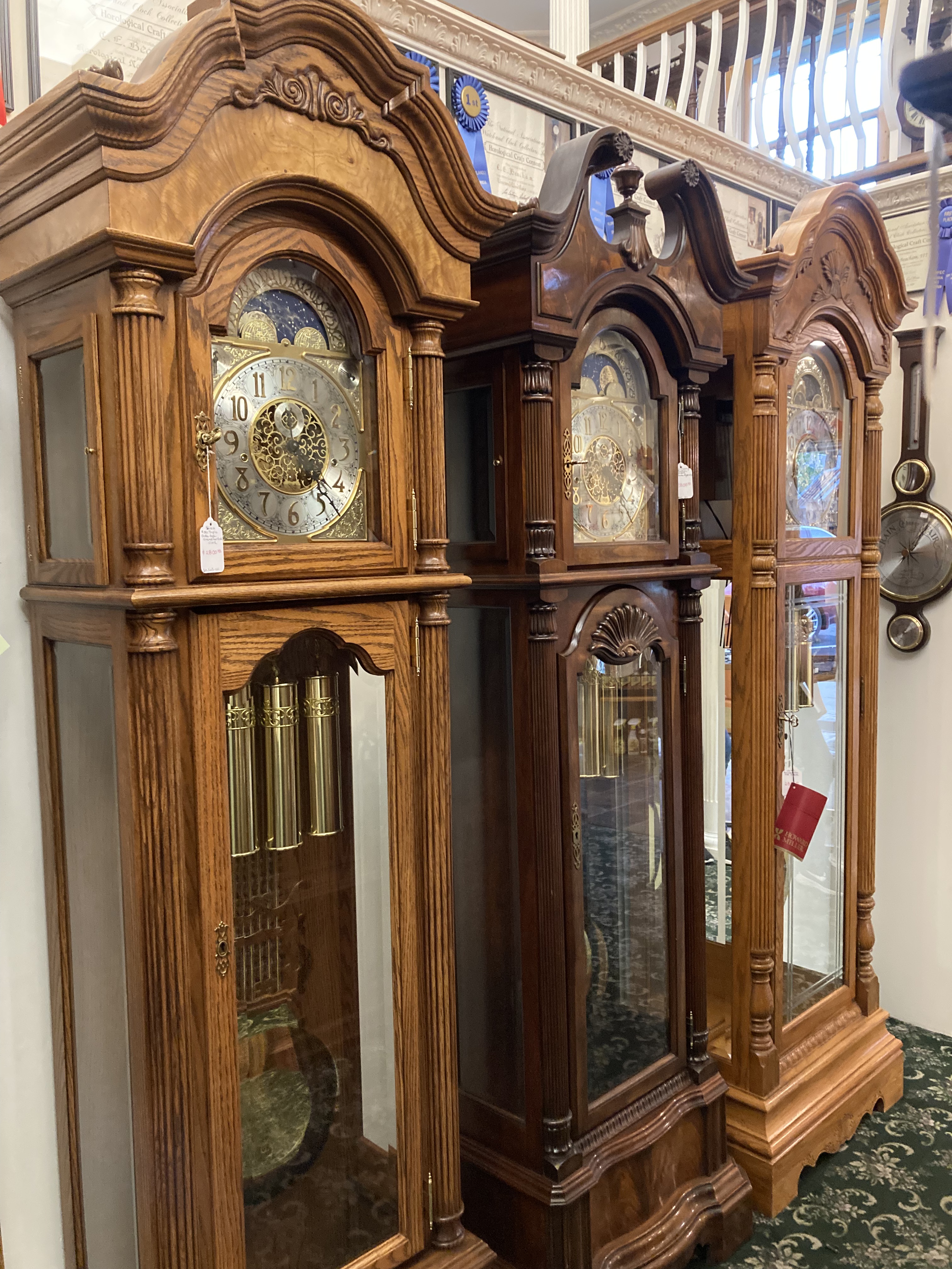
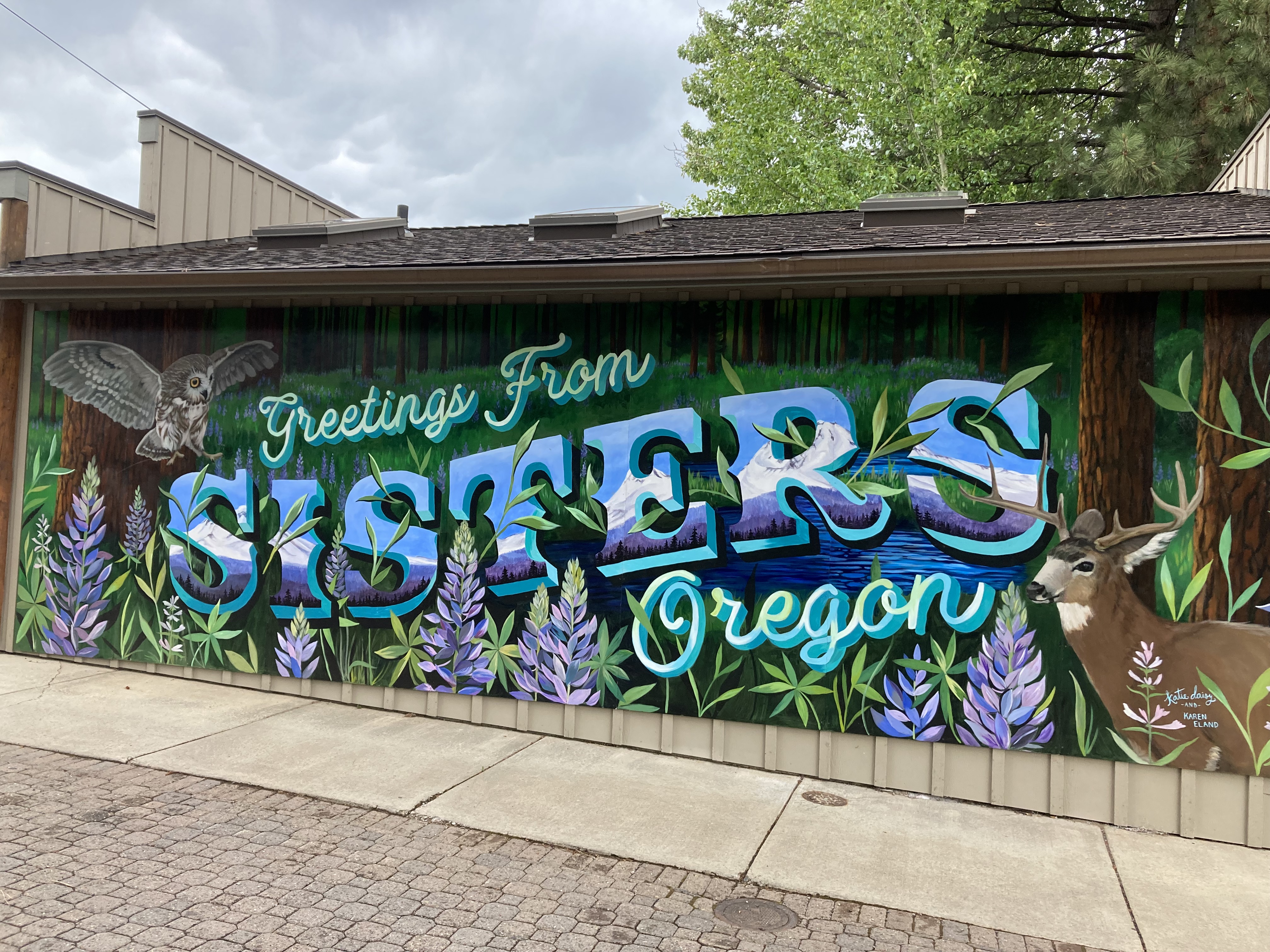
I would have liked to pop in to Sisters Coffee Co., but it was late in the day. Sisters is also a nice entry point to explore the Three Sisters Wilderness.
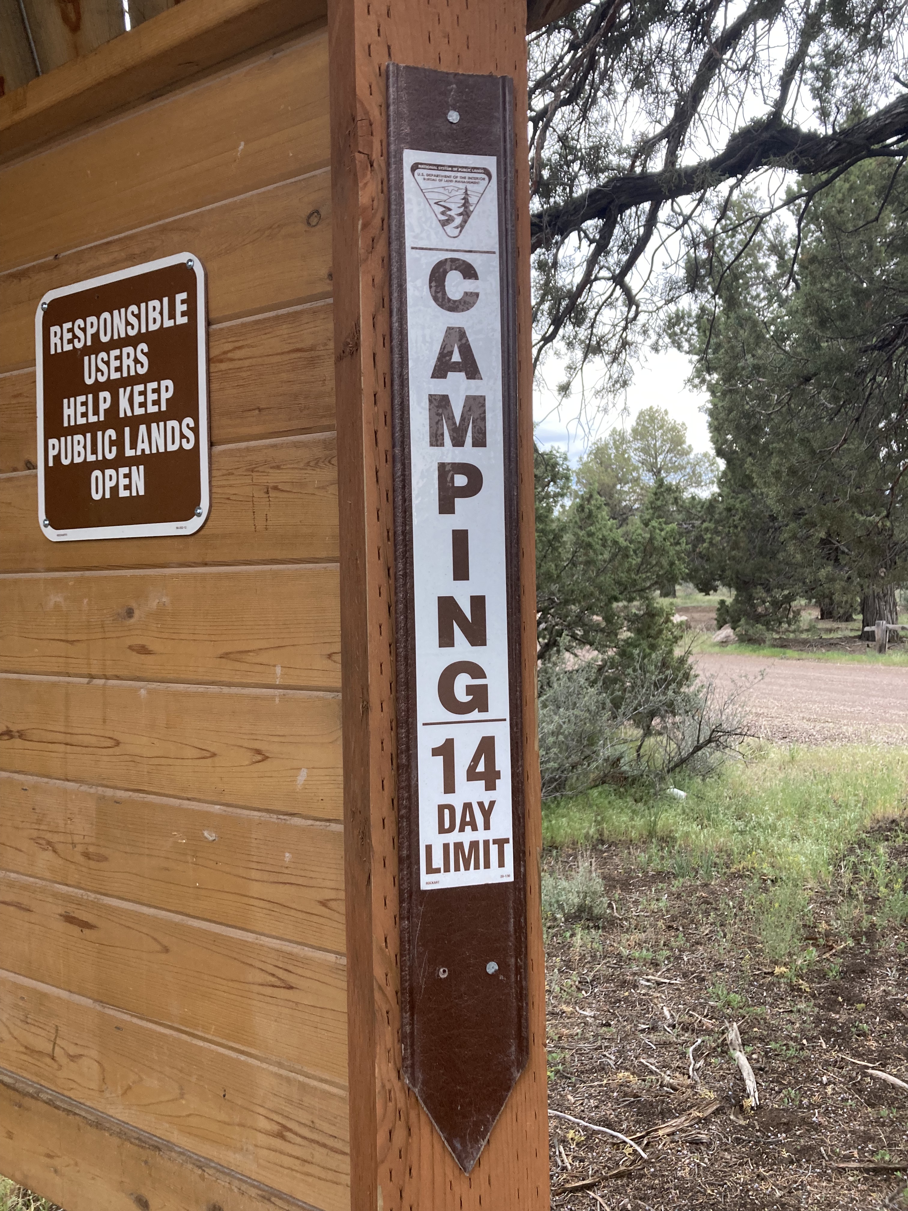
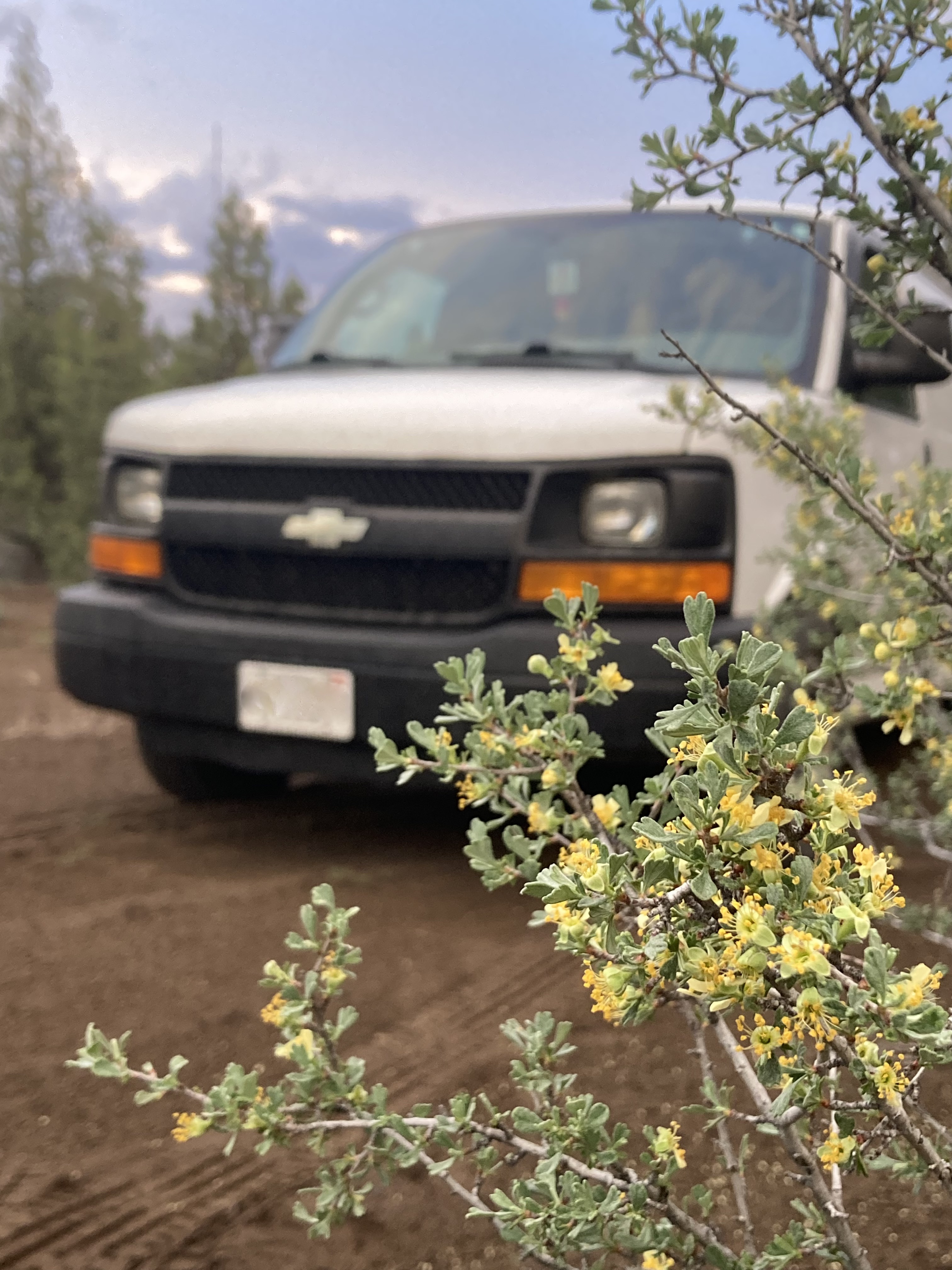
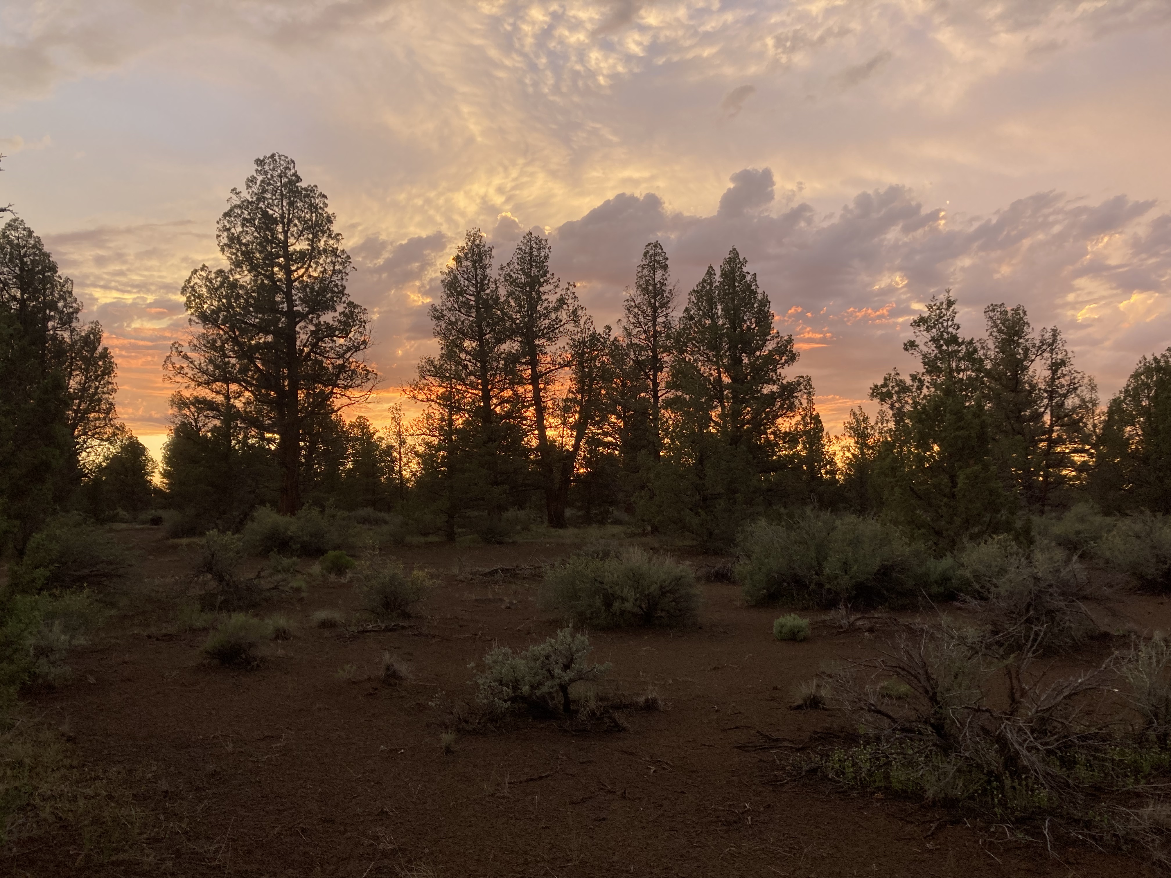
I found a BLM area for the night (Cline Buttes Recreation Area), easily accessible off Route 126, east of Sisters, between Sisters and Redmond. I remember the ground was soft and the air was dank. I enjoyed a couple of local beer here, which tickled my fancy. The sky turned orange as the sun set and thunder cracked over the mountains. Coyotes howled from beyond. I was content.
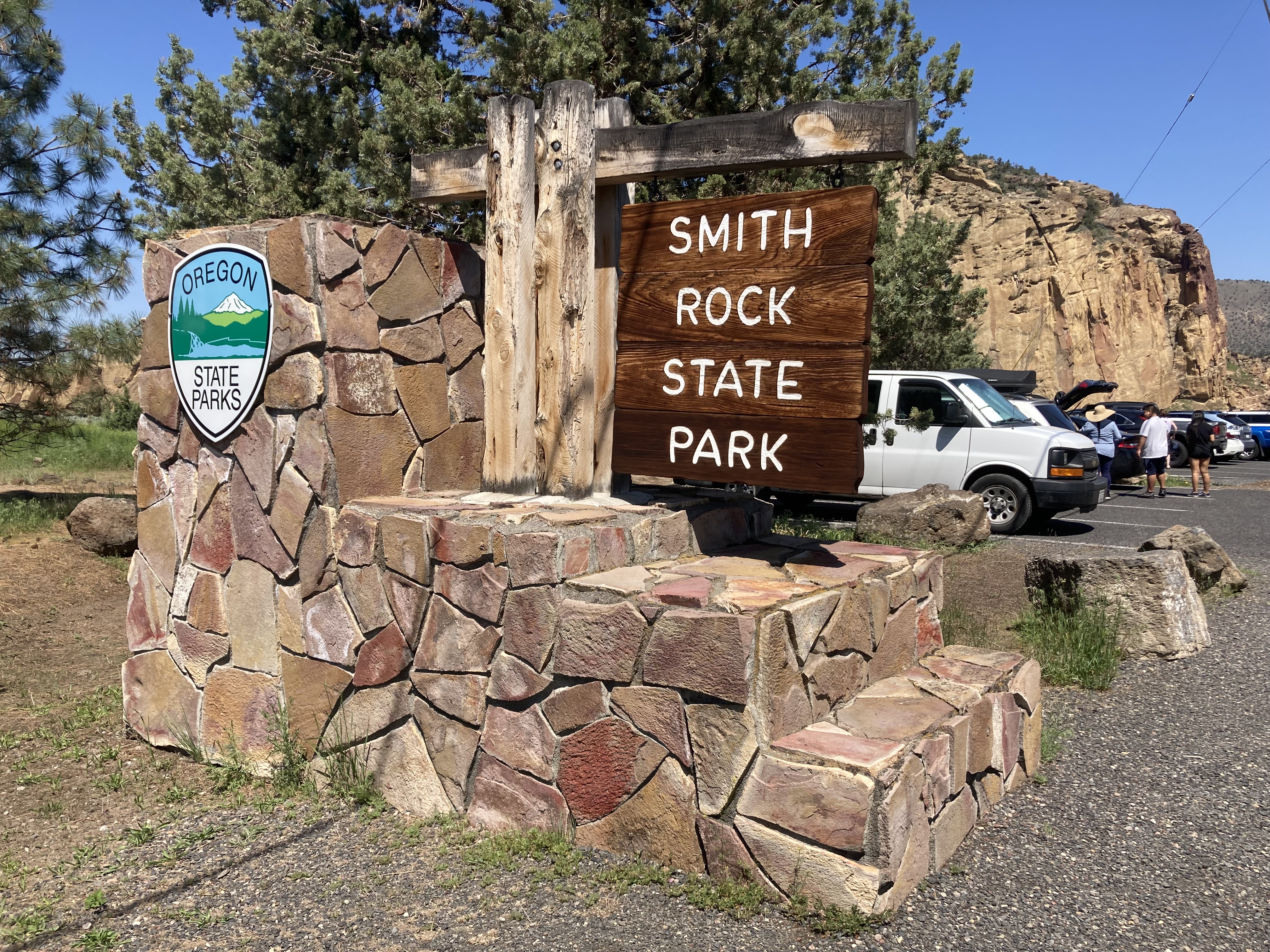
Smith Rock State Park
It was a short half hour drive for me the next morning to Smith Rock State Park, which is also a 35 minute drive north of Bend. This was a definite favourite of mine, as someone who loves desert landscape. It was again 29 degrees, and sunny to match.
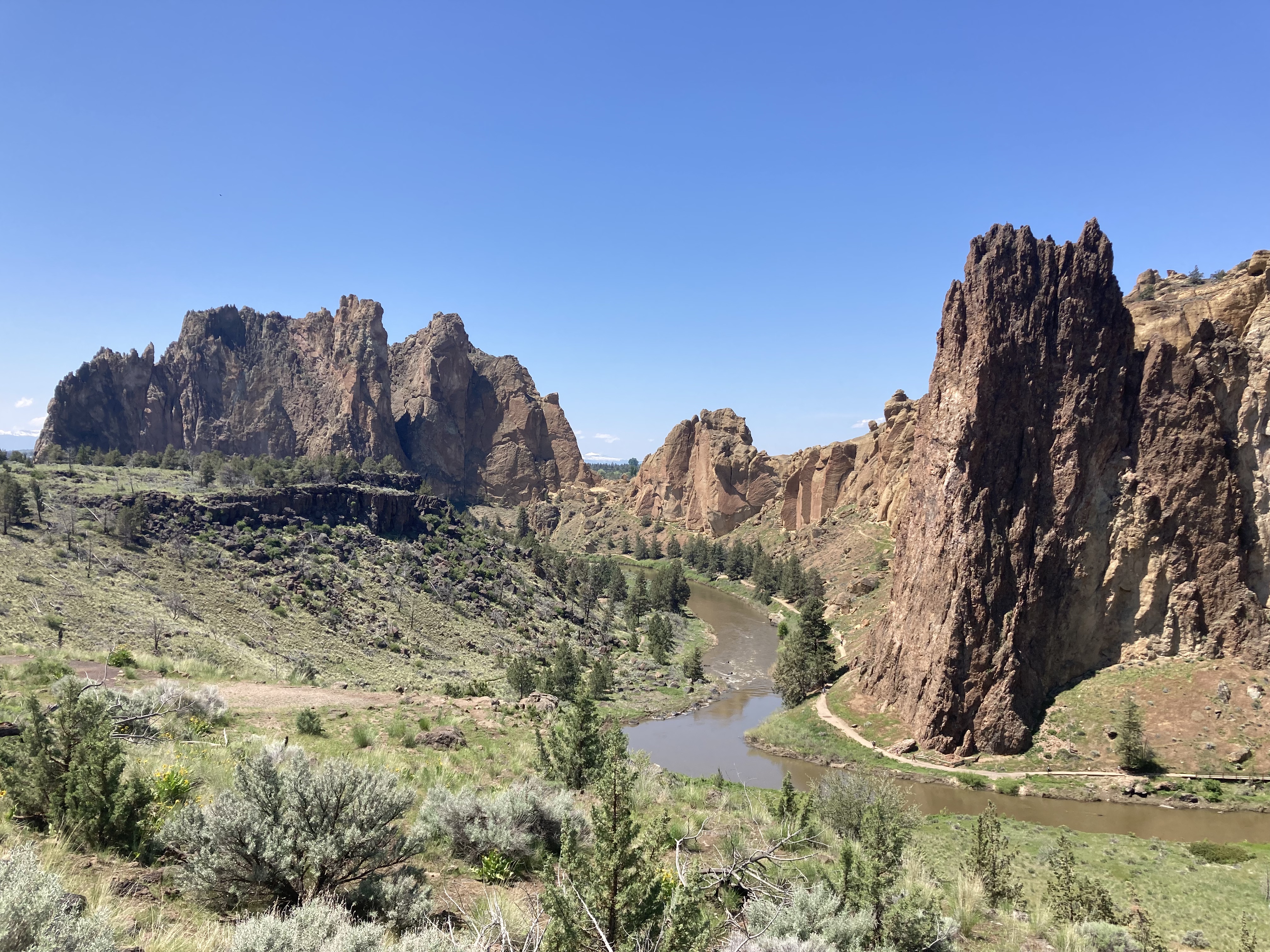
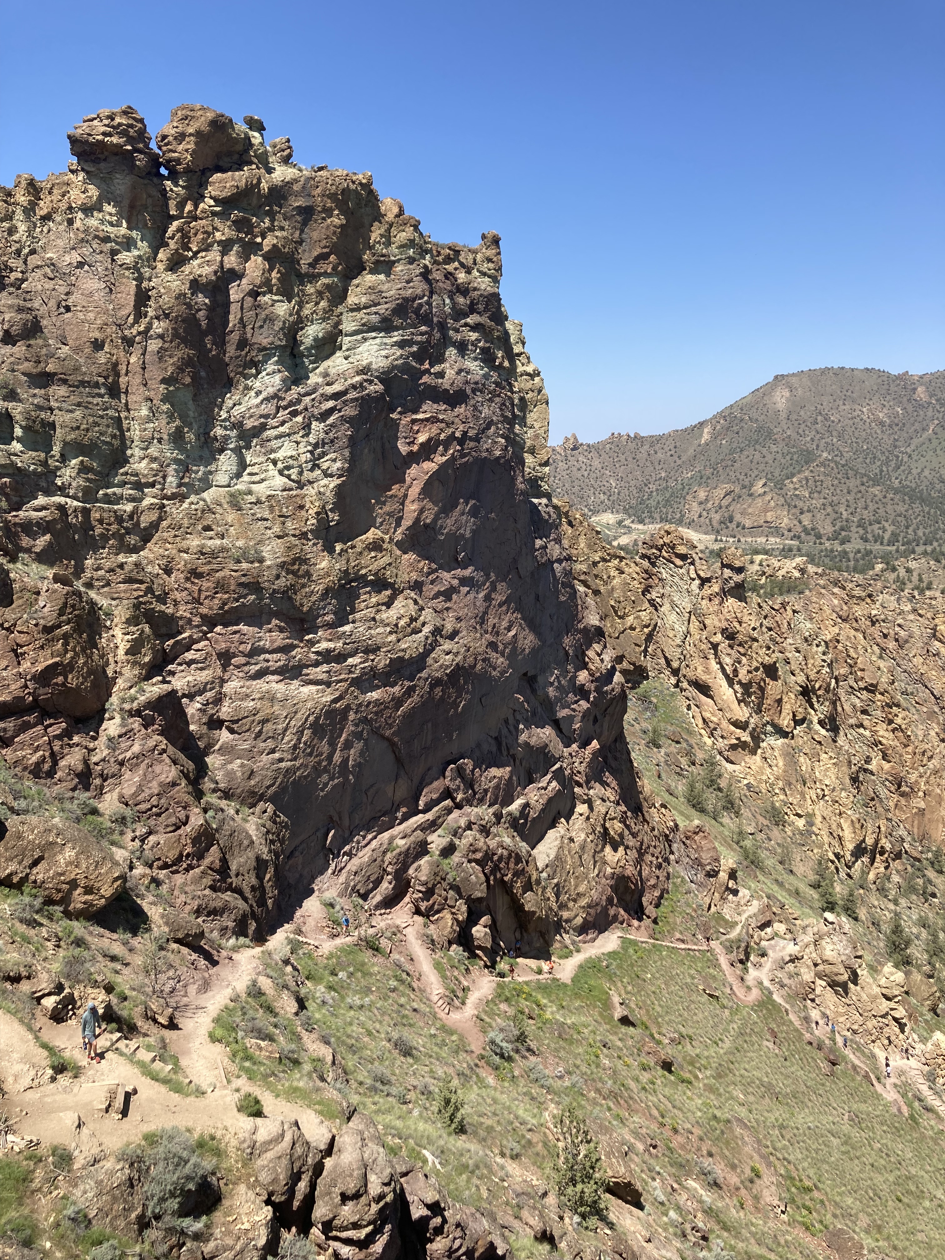
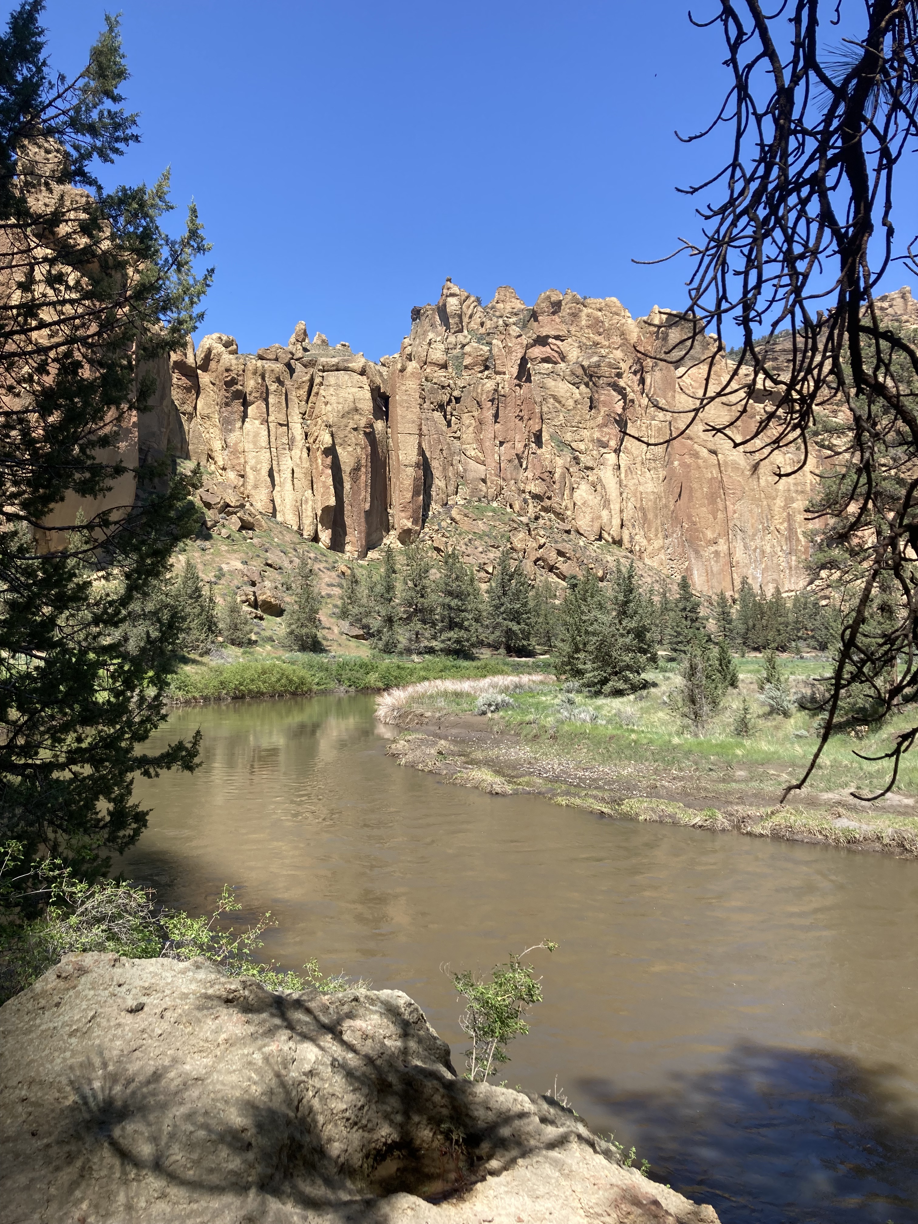
Smith Rock State Park is a river canyon with orange cliffs that frame Crooked River. It’s an international rock climbing destination and features high desert weather and environment. One of the most popular hikes here is Misery Ridge (my hike of choice), which takes you across the river, up steep switchbacks to the top of the cliffs, to viewpoints of the surrounding area and Cascades, as well as probably the most interesting part (in my opinion) – the freestanding rock pinnacle known as Monkey Face.
I remember the frustration when I tried to pay for parking at Smith Rock and the machines would not accept debit. Since I had lost my credit card, and couldn’t pay online, I resorted to approaching a couple of strangers and asking if I could give them cash to purchase a pass for me. Not a big deal – but I hate to be a bother to anyone. And I’m awkward.
The hike was spectacular. I was in desert heaven. There were some people on top of Monkey Face, having rock climbed to the top, which I couldn’t wrap my head around. And there was sagebrush lining the trail – I liked to rub the leaves between my fingers to get that sage smell. Absolutely would return here.
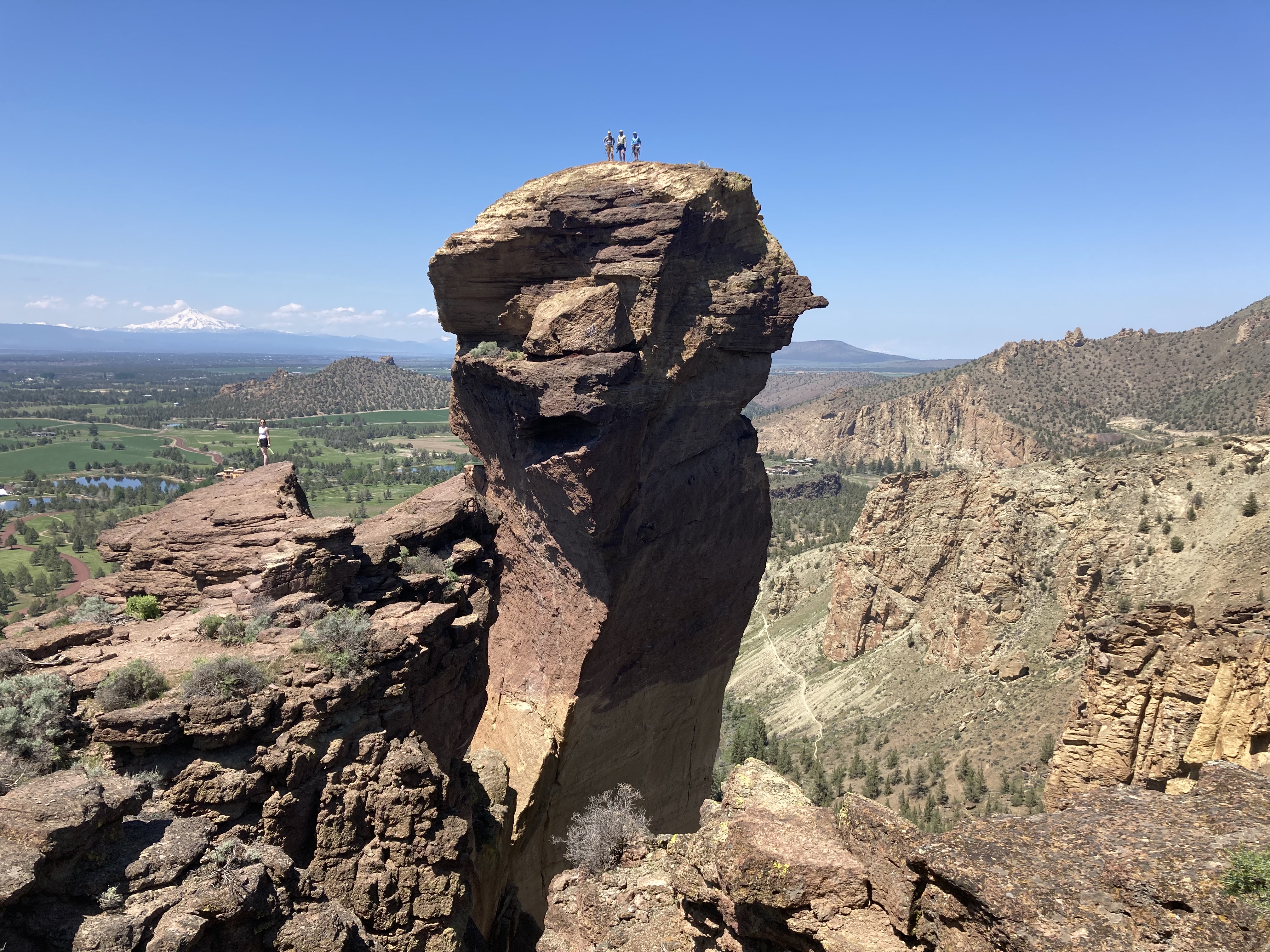
And if I do get back here I would consider hiking the Summit Loop, or combining Misery Ridge with Summit Loop, a longer hike, but offering more views of the park.
Another destination near here that I really wanted to visit but ended up bypassing due to time constraints was the John Day Fossil Beds National Monument, specifically Painted Hills. It’s located about an hour and a half northeast of Smith Rock State Park. While the landscape is what caught my attention, this area contains plant and animal fossils dating 7-44 million years ago. John Day Fossil Beds is comprised of three sections – Painted Hills, Sheep Rock, and Clarno.
Mount Hood
Straight away after my hike in Smith Rock State Park I hit the road to Mount Hood, about 100 miles to the north. A little over two hours later I arrived at the Trillium Lake trailhead in Mount Hood National Forest, close to the Mount Hood summit.
Mount Hood is the highest mountain in Oregon, with a peak rising to 11,249 feet. On a clear day it provides a beautiful backdrop to the city of Portland (like Mount Rainier does for Seattle). It lies 50 miles to the east of Portland and lies just south of the Columbia River Gorge.
It was like weather whiplash to be hiking near a mountain top in snow in the same day as having hiked in 30 degree sunny weather in desert. You really can do a lot in one day.
Trillium Lake offered an easy trek for late in the day and I hoped to capture a picture of Mount Hood reflected in its waters. It was 2 miles one way from the parking lot off Highway 26 to the southern edge of the lake where you can look out across the water to a view of Mount Hood. Sadly the water was a bit choppy, but I still got some good photos.
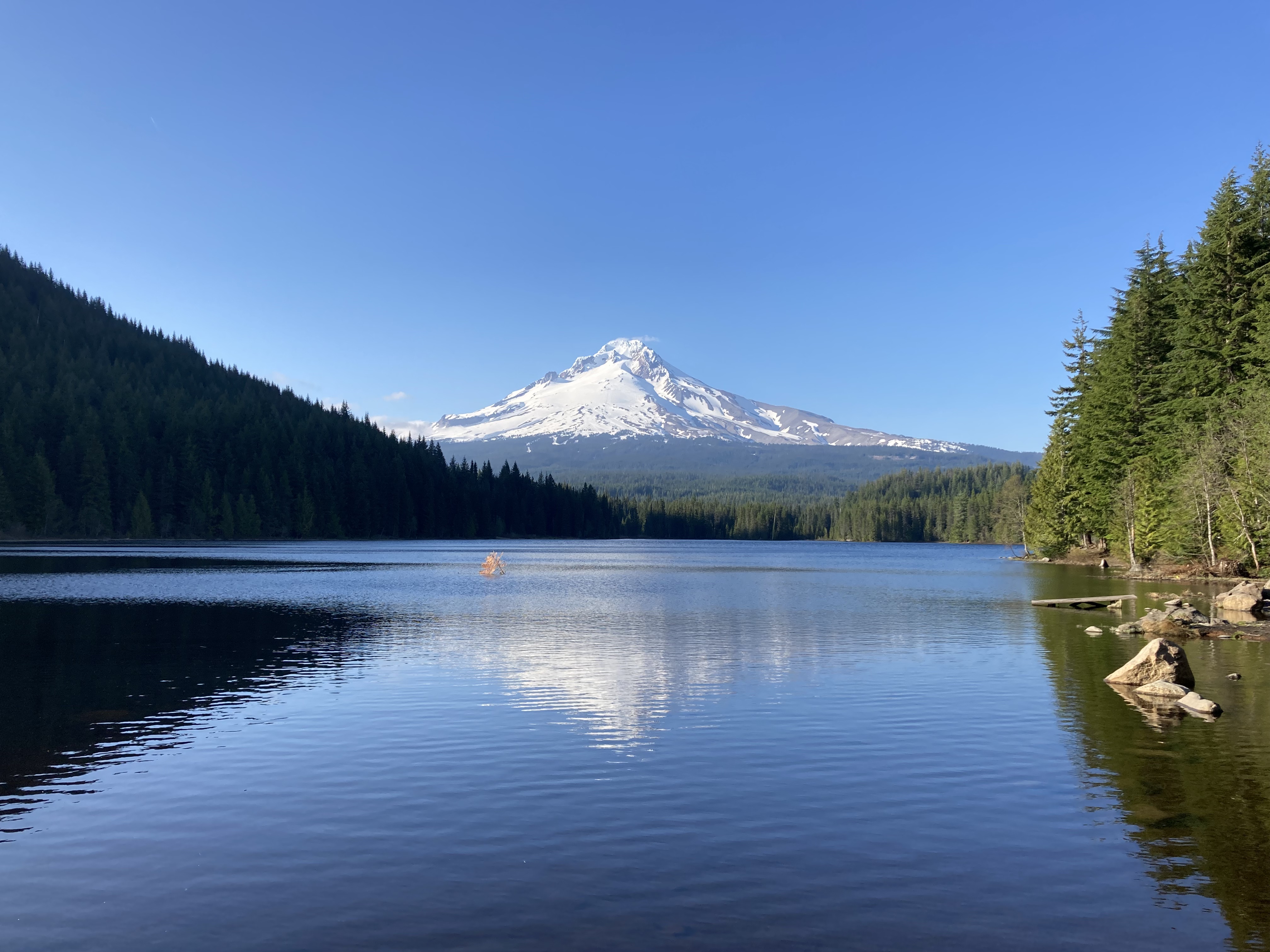
Trillium Lake has a campground and a trail around the entire lake. From the parking lot I followed a road to the lake, but it was still covered in quite a bit of snow. There were still others hiking here. But it was slow going through the snow, and avoiding the build up of animal droppings that was being revealed as the snow melted.
I’m usually quite a lone wolf, but during my trek to Trillium Lake a guy who had arrived at the same time struck up a conversation and asked if he could join me on the walk. We did have some nice chats, and it’s nice to socialize on the road with people from different places. But it is also the kind of situation that can leave me feeling conflicted. Safety is always top of mind, especially when you’re travelling solo, as a female. Especially in an area where there aren’t as many people. You never know who you can trust. And I’d rather be safe than sorry. On the other hand, you recognize that you’re not living carefree and may be shutting yourself off to connection and experiences. You might want to feel one way, but know it’s better to air on the side of caution. Me and this guy exchanged socials and talked about meeting up the next day – which didn’t work out – and I think that was probably for the best.
After the hike I drove a short ways up to Timberline Lodge, a National Historic Landmark built in 1937, and ski area, sitting on the south slope of Mount Hood, and as close as I could get to the mountain summit by car. Timberline Lodge is open year-round and acts as a base camp for recreation in the area.
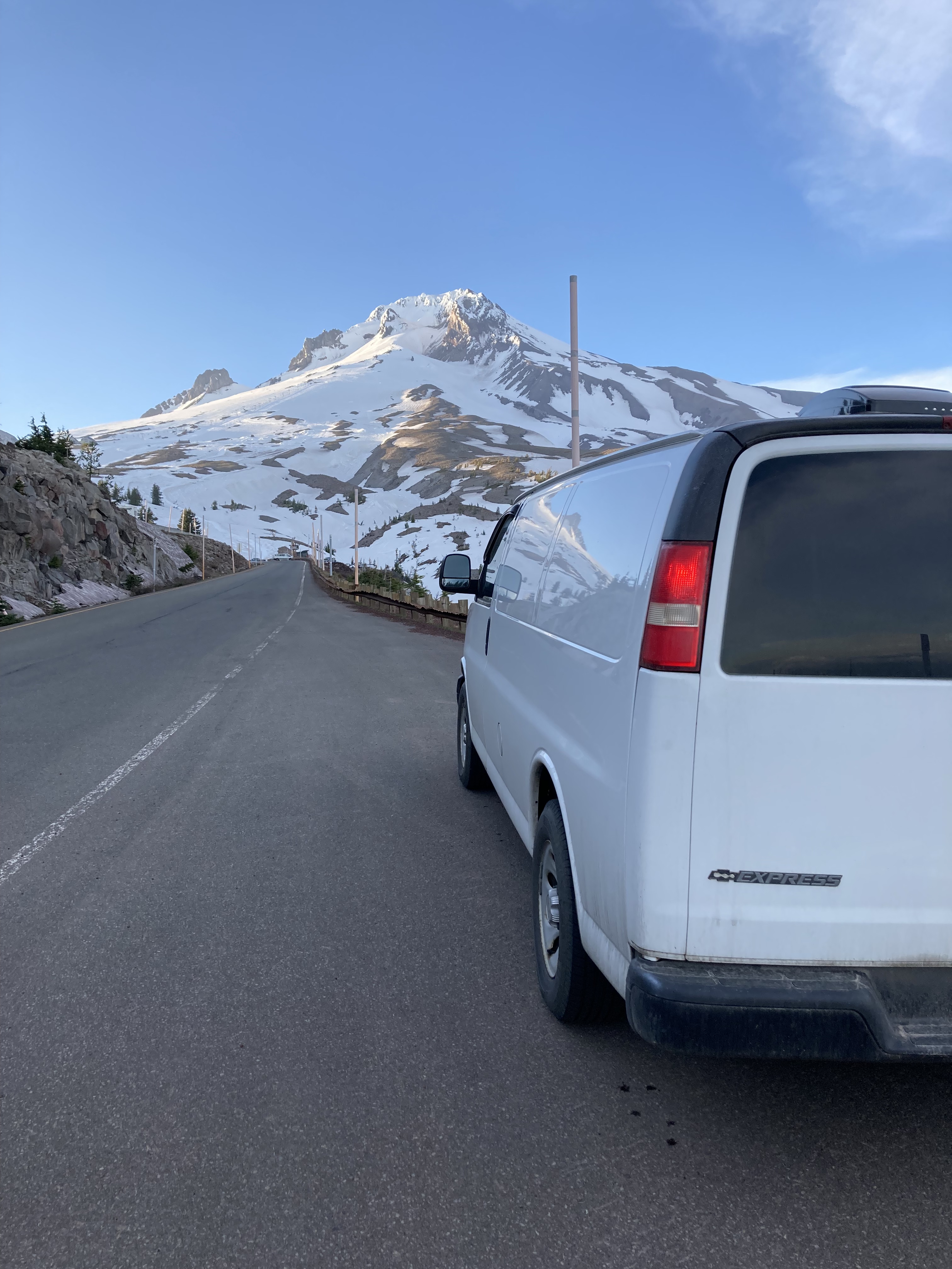
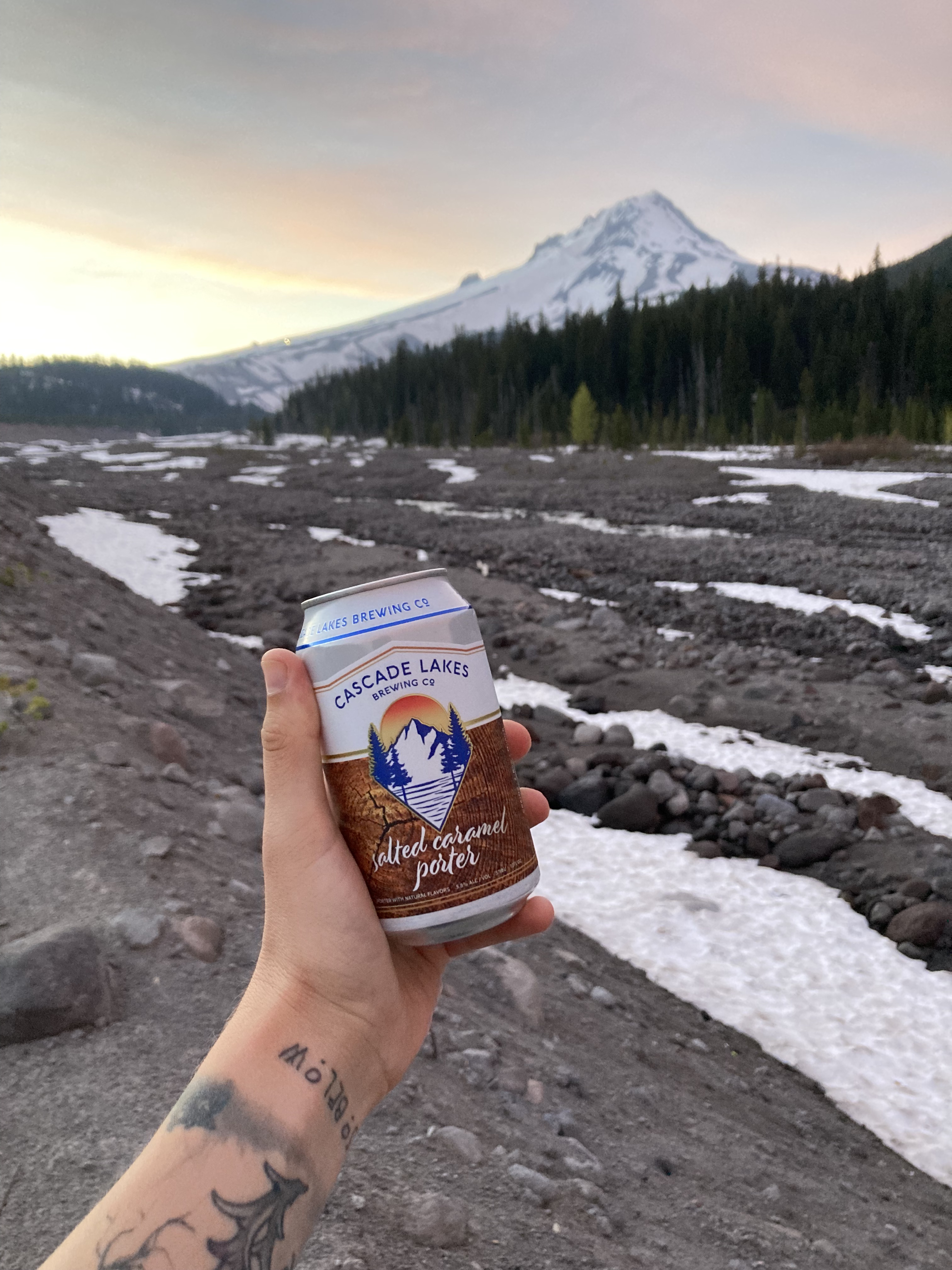
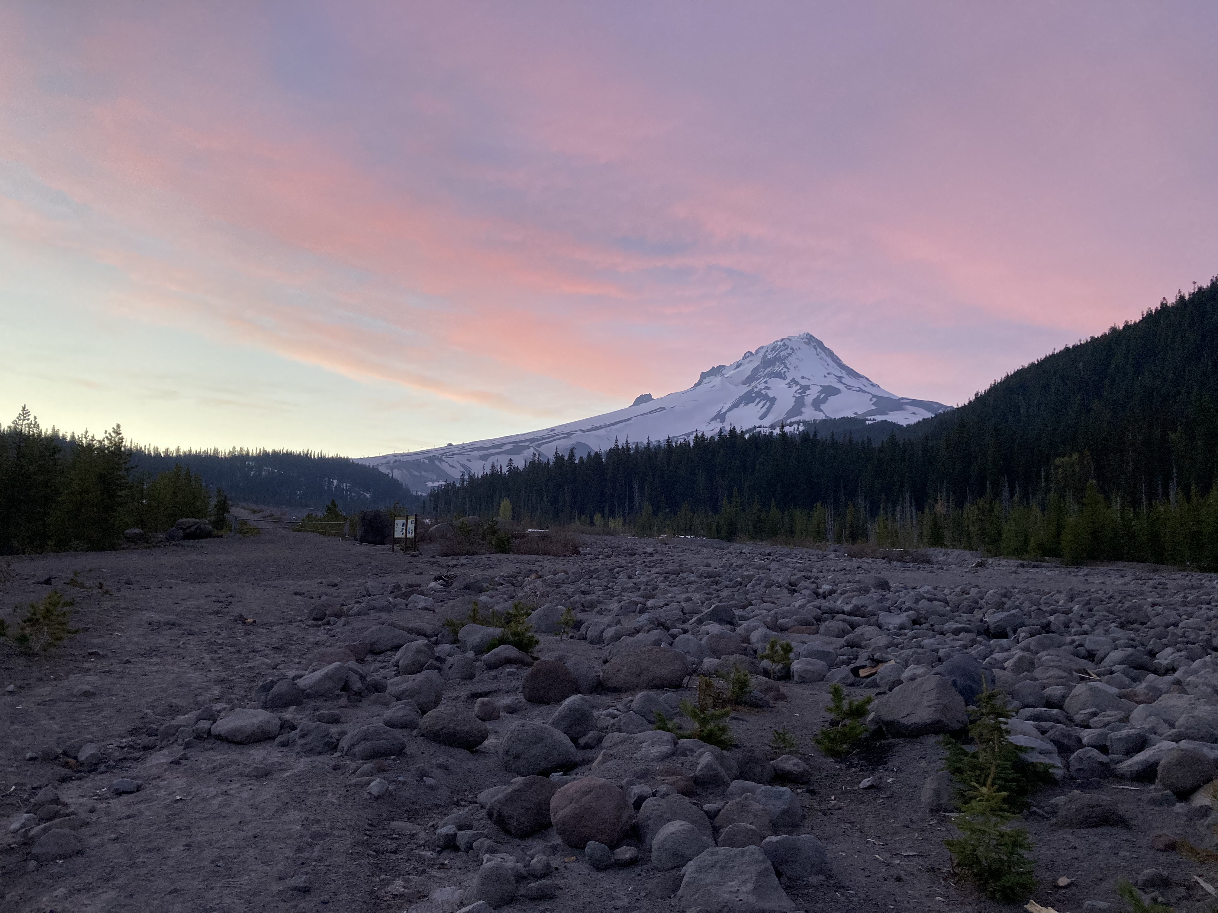
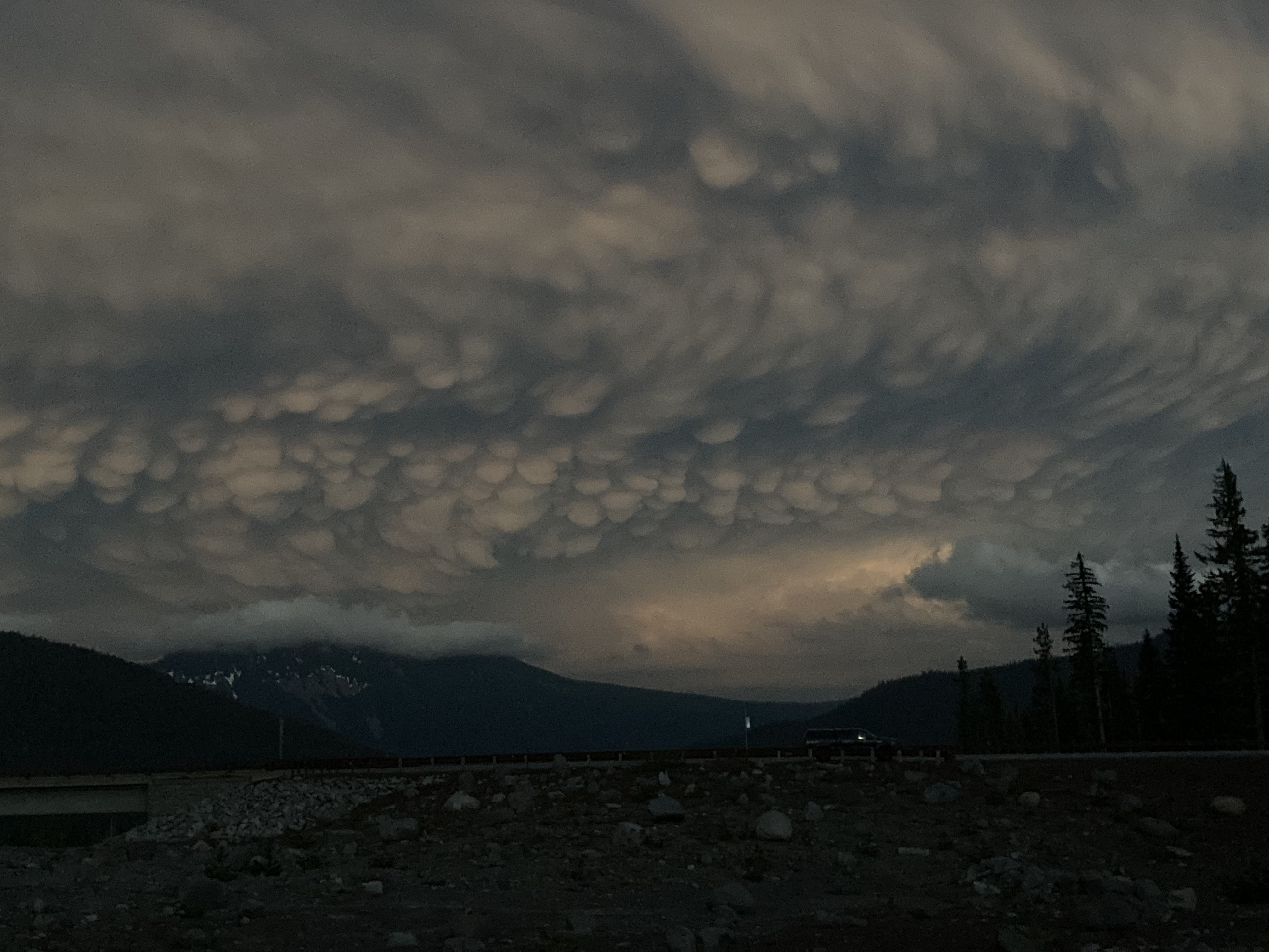
Then I headed to an overnight spot in a big parking lot on the eastern side of the mountain off Route 35 at White River. There were dozens of people here in vans, some having campfires. I took a little stroll along a path toward the mountain to take in views as the sun was setting. The sky turned orange and pink. I enjoyed a choice beer. And back in the van a thunder storm rolled past, with the sky churning and moody. I loved it here – one of my favourite overnight spots ever I think.
The next morning I back tracked, a ten minute drive west to the Government Camp Rest Area. I wanted to use the washrooms, dispose of some garbage, and potentially pick up some supplies. This had been my other option to overnight, but it was a small and busy lot, and if I remember correctly I did not get the feeling it would have been a welcoming spot, so I was glad I had gone elsewhere – especially a more natural area where I didn’t feel like I needed to rush out in the morning.
Government Camp is an unincorporated community and the only town within a few miles of Mount Hood. I didn’t actually explore the town, but I would love to see the Bavarian style downtown and maybe pop in to Mt. Hood Brewing Co. – they use glacial water from Mt. Hood in their beer!
Then it was time to head out from Mount Hood – it was a super short and sweet stay. If I ever get back here I’d love to come later in the season when more snow has melted and trails are clear. The PCT runs through here (southwest flank of the mountain) and I would love to do the Timberline Trail – a 41.5 mile loop around Mount Hood near the timberline, a 3-4 day trek, with dicey river crossings. There are waterfalls, like Ramona and Tamanawas. There’s also the Mount Hood Scenic Loop or Mount Hood Scenic Byway, which is a 169km loop from Portland to Mount Hood to the Columbia River Gorge, and no doubt has many scenic viewpoints. I did part of this drive, minus the Portland to Mount Hood portion.
It’s an hour’s drive down the mountain from the south side at Government Camp, north to the town of Hood River on the Columbia River. If I had had more time, or had done more research, I would have liked to explore Hood River and Hood River Valley more thoroughly. Hood River seemed like a pretty town, located where Hood River flows down from Mount Hood and meets the Columbia River. Hood River is known as a hub for recreation as well as fruit processing. It has a population of about 8,300 and is known as the “windsurfing capital of the world” due to valley winds. Hood River is also reputed to have great food and some quality breweries. The valley is known as a prolific fruit growing region. There are farms, orchards, lavender fields, vineyards, and even alpacas. Not to mention the area offers views of Mount Hood to the south and Washington’s Mount Adams (right) and Mount St. Helens (left) to the north/ across the Columbia River.
After a quick stop in to Hood River for some groceries, I was ready to explore the Columbia Gorge.
Columbia River Gorge & Waterfall Circuit
The Columbia River Gorge National Scenic Area consists of 80 miles of river canyon centering on the Columbia River. It’s the only sea level route that cuts through the Cascade Mountain Range, from Portland to the Deschutes River, from evergreen forests to grasslands, between Oregon and Washington.
Having come from Bend, it could have been nice to see the area where the Deschutes River meets the Columbia River. Near here is The Dalles, the second largest city in Oregon on the Columbia River after Portland. But these were east of Hood River, and I was headed west from Hood River.
You have two choices for driving the Gorge – I-84 (Columbia River Highway) or The Historic Columbia River Highway / Scenic Byway (Highway 30), which runs parallel to I-84 in two segments (but not the whole length of the Gorge). The Historic Columbia River Highway is a smaller, slower, more winding road and provides access to many of the waterfalls. (There is also the Washington side to the Gorge, I’m just talking about the Oregon side here).
My first stop was Cascade Locks, population 1,400, 20 miles west of Hood River. There are no longer operational locks here – the 1896 locks that gave the town its name were rendered obsolete in 1938 by the Bonneville Dam and locks 4 miles to the west. Dams are an important part of the Columbia River and have a history with hydropower and navigation/ taming rapids. Another dam is located in The Dalles.
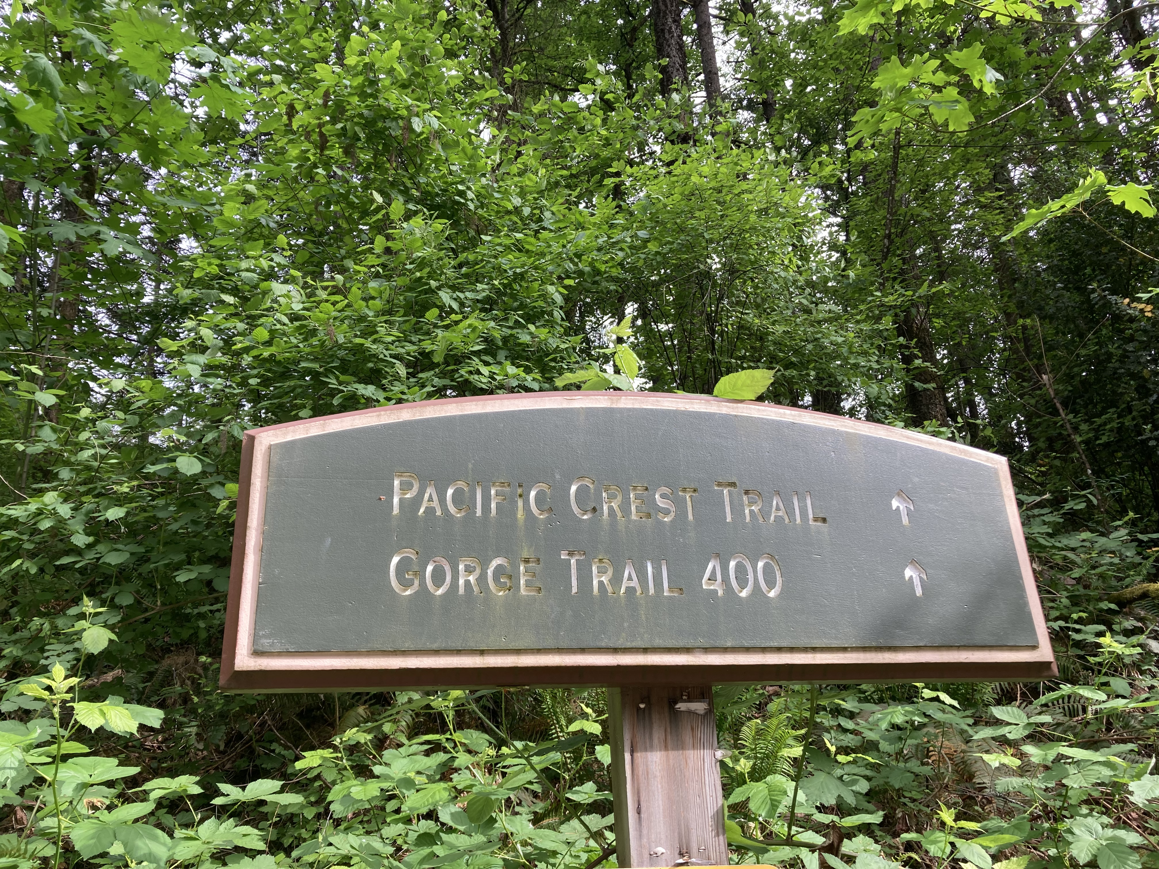
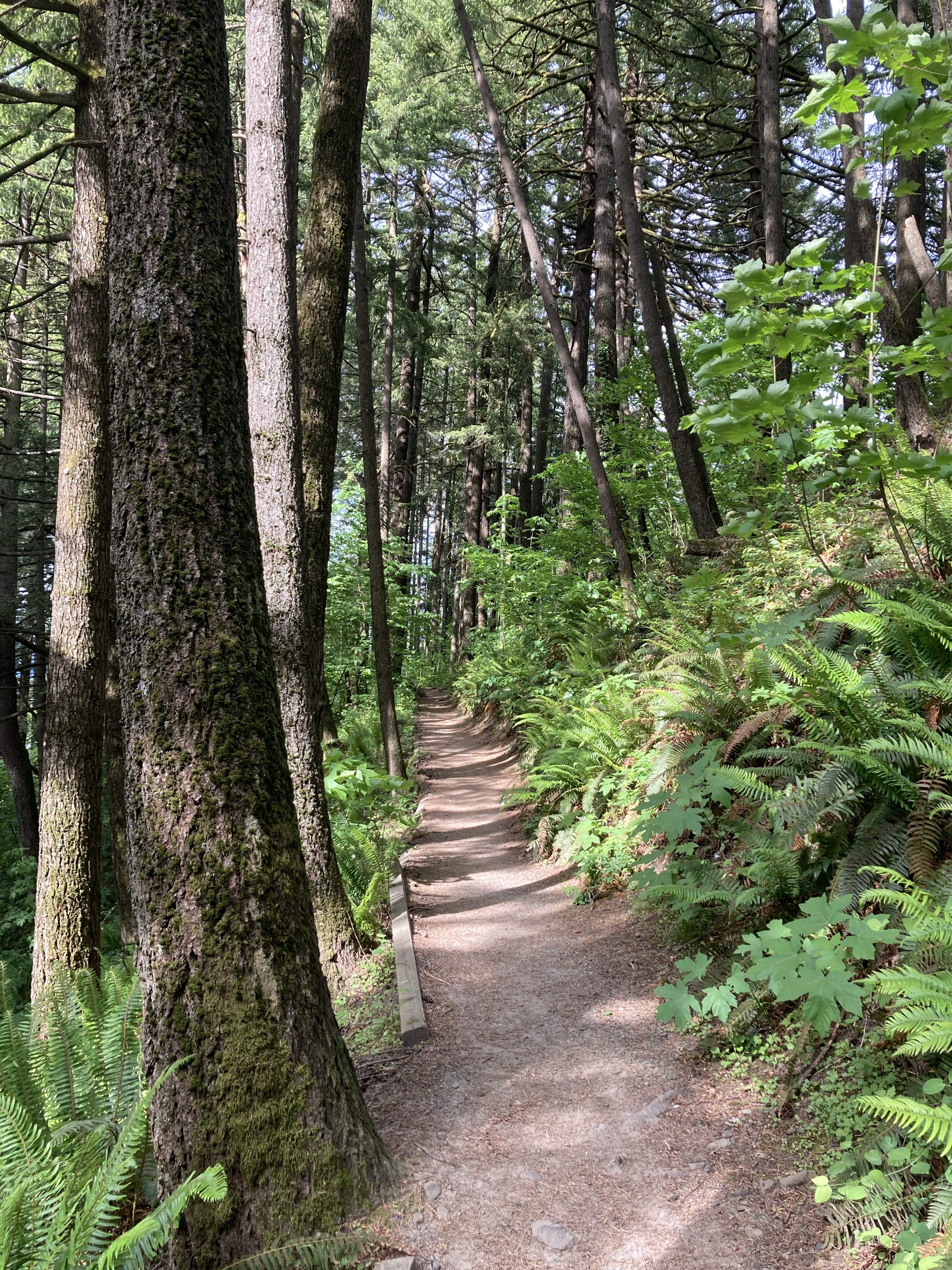
I street parked in Cascade Locks and walked to the Bridge of the Gods and a section of the PCT. The bridge is part of the PCT, where hikers complete the Oregon section of the trail and cross into Washington. I followed the PCT back from the bridge a ways out of curiosity – satisfying my goal of hiking on part of the PCT in Oregon. I didn’t go too far, as the trail was a bit overgrown. I was just content to be there. I’d been following a thru hiker’s journey on the PCT on Instagram, someone I’d started following when they’d done the Appalachian Trail (AT). And it was cool to have been here, a section where I can only imagine there would be lots of emotion about the milestone of another state complete. That hiker wouldn’t get here for another few months, but when she did it was fun to be able to see the place in my mind’s eye and actually know what it was like to be there. My thru hiker self was living vicariously with these mini doses of PCT.
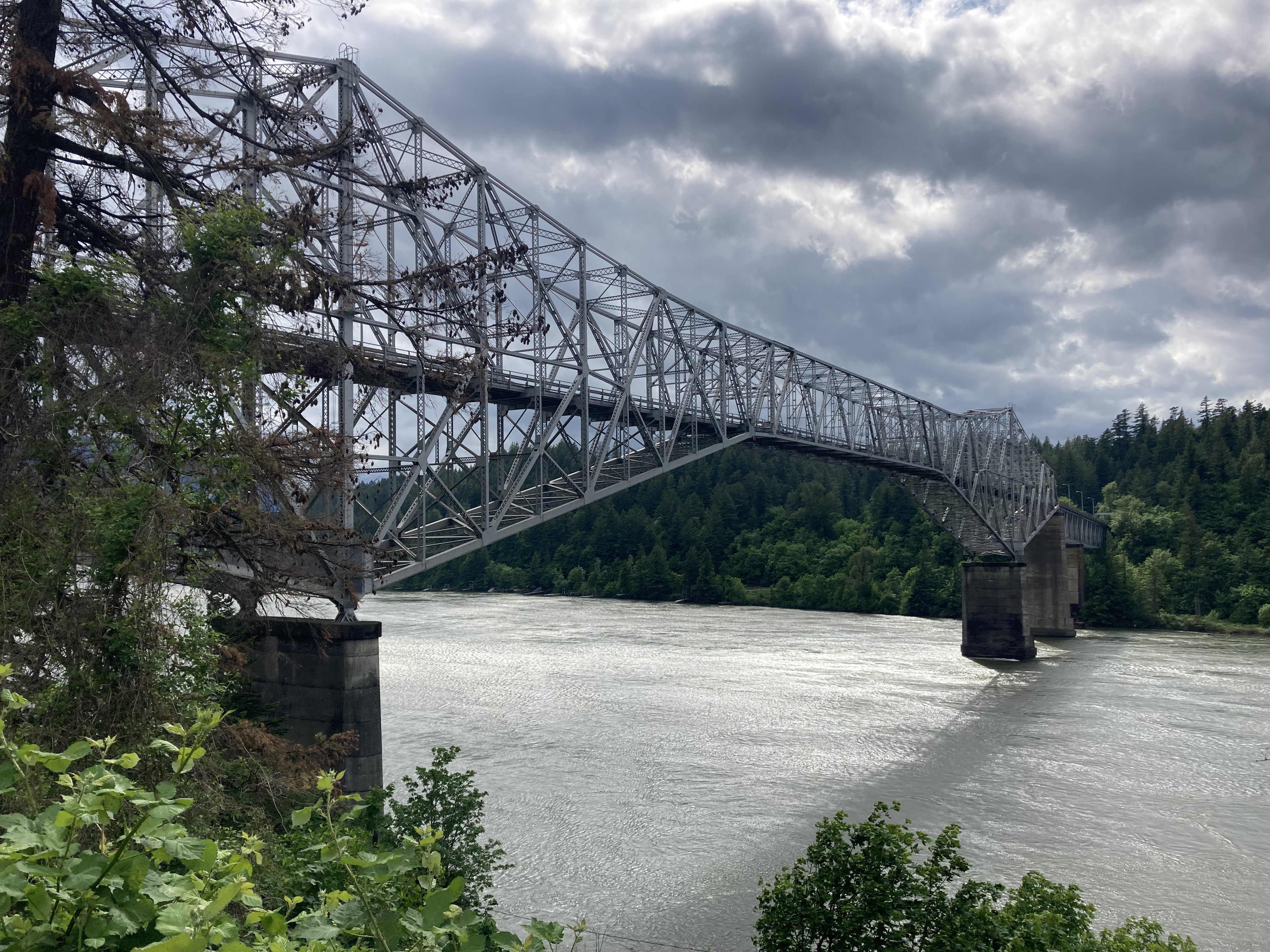
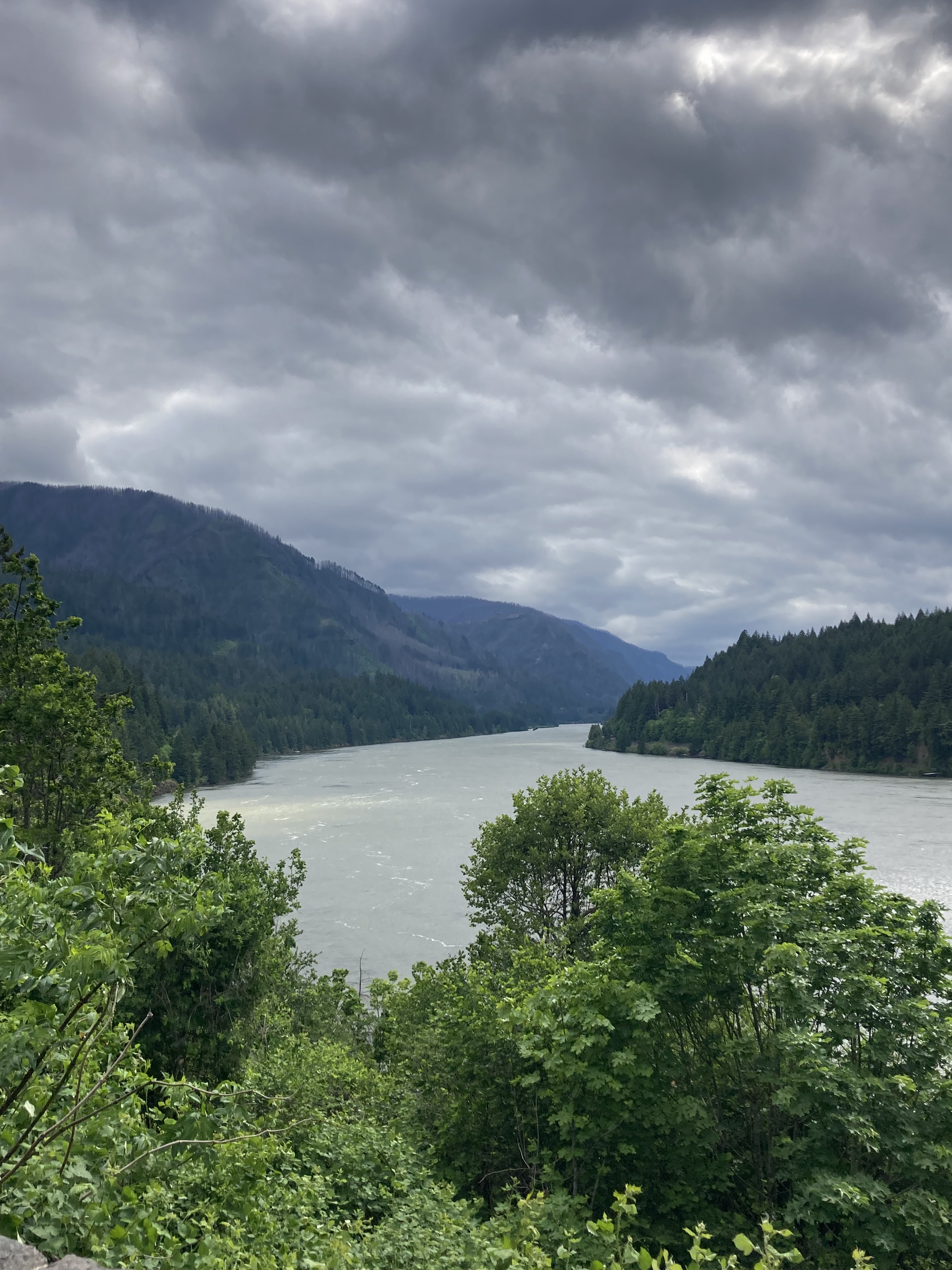
Also in Cascade Locks are Marine Park and Thunder Island, a little island and shoreline park on the Columbia River. The area offers views of the Bridge of the Gods and riverboat cruises aboard the Columbia Gorge Sternwheeler paddle wheeler.
Next I toured several waterfalls along the Columbia River Gorge, starting with Multnomah Falls – the tallest waterfall in Oregon (620ft), and most popular (for good reason).
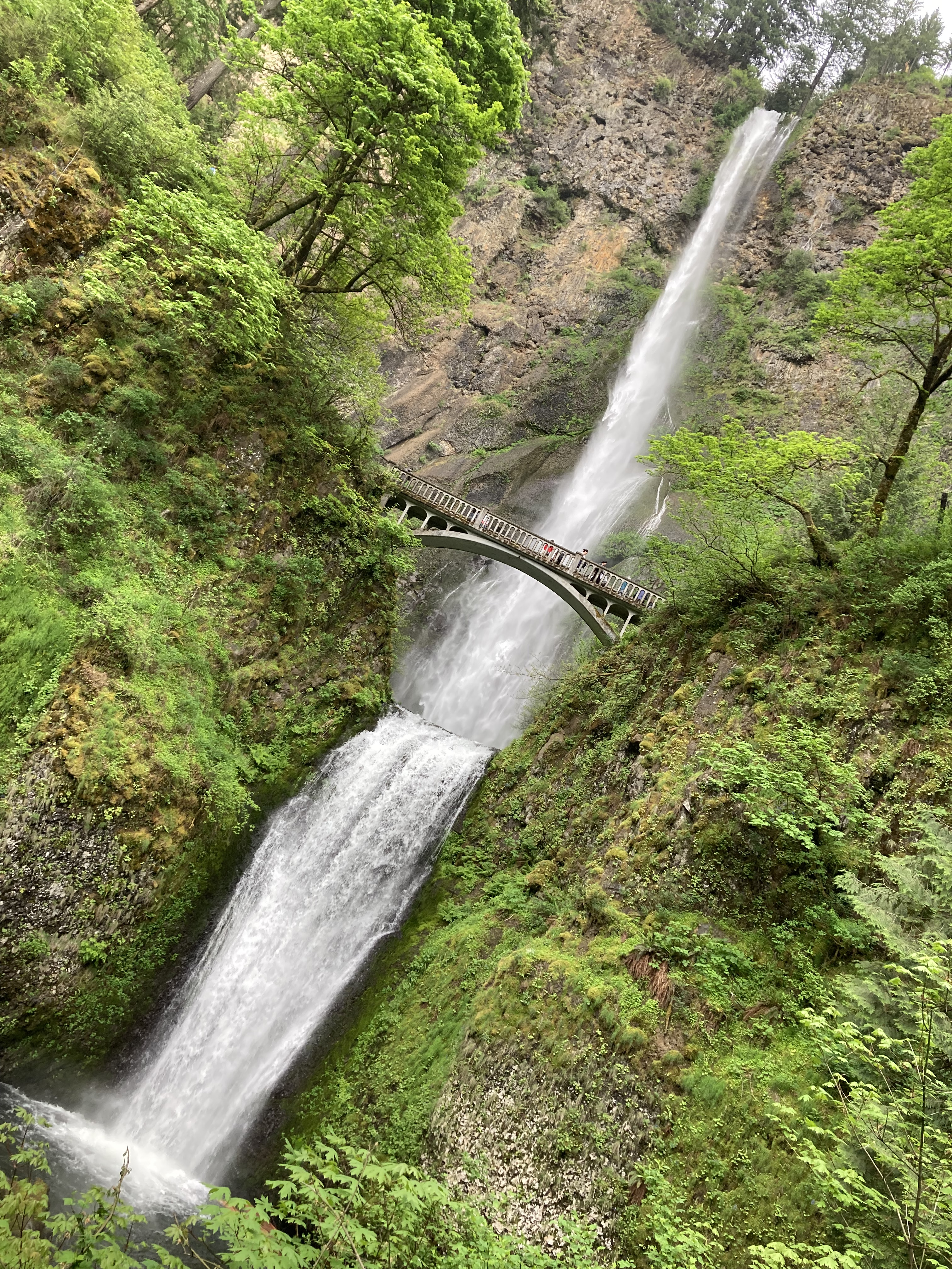
I believe I got here outside of the dates where timed entry permits were required. There is a large parking lot here, and I had no issue finding parking. But online sources warn that finding parking can be an issue. I’ve also seen comments on vehicle break ins and theft at this parking lot. Luckily, I did not have this issue.
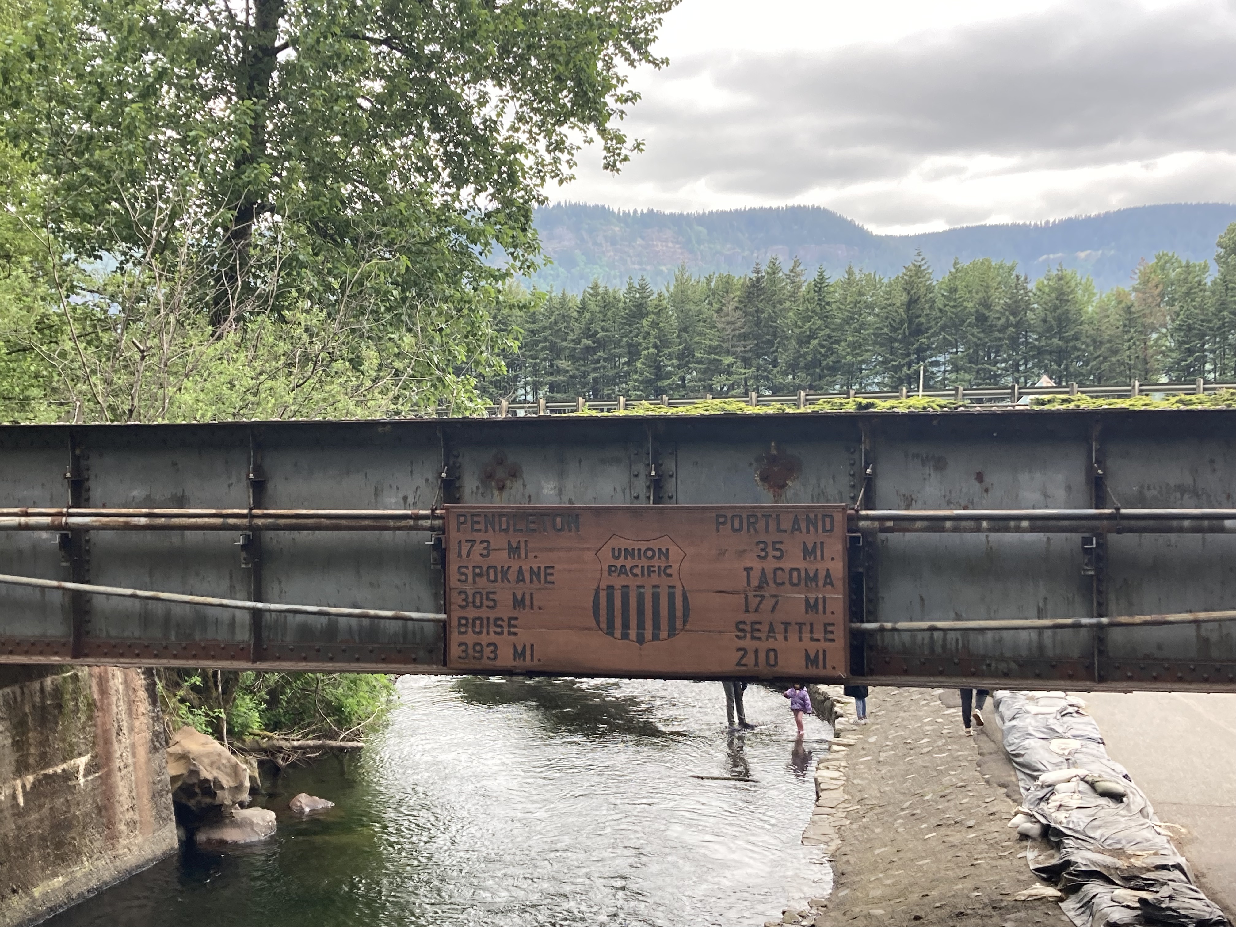
I ended up hiking to the top of Multnomah Falls. I had started hiking and eventually figured I might as well keep going to the top. The trail is 3.9km there and back with an elevation gain of 253m. It’s made up of switchbacks and elevated views over the Columbia River.
Once you get to the top you get to stand where Multnomah Creek falls over the cliffs and look at how far you’ve climbed.
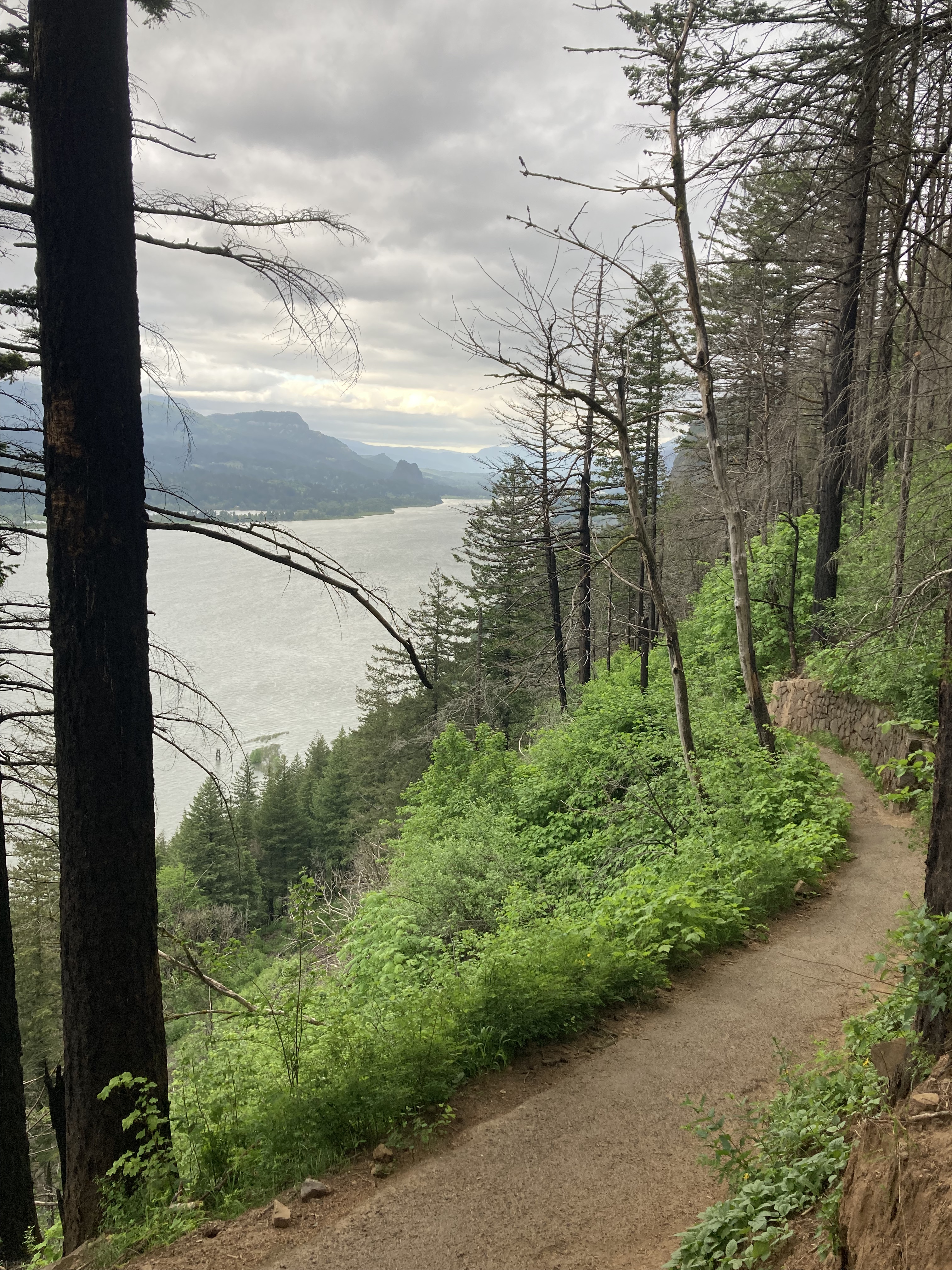
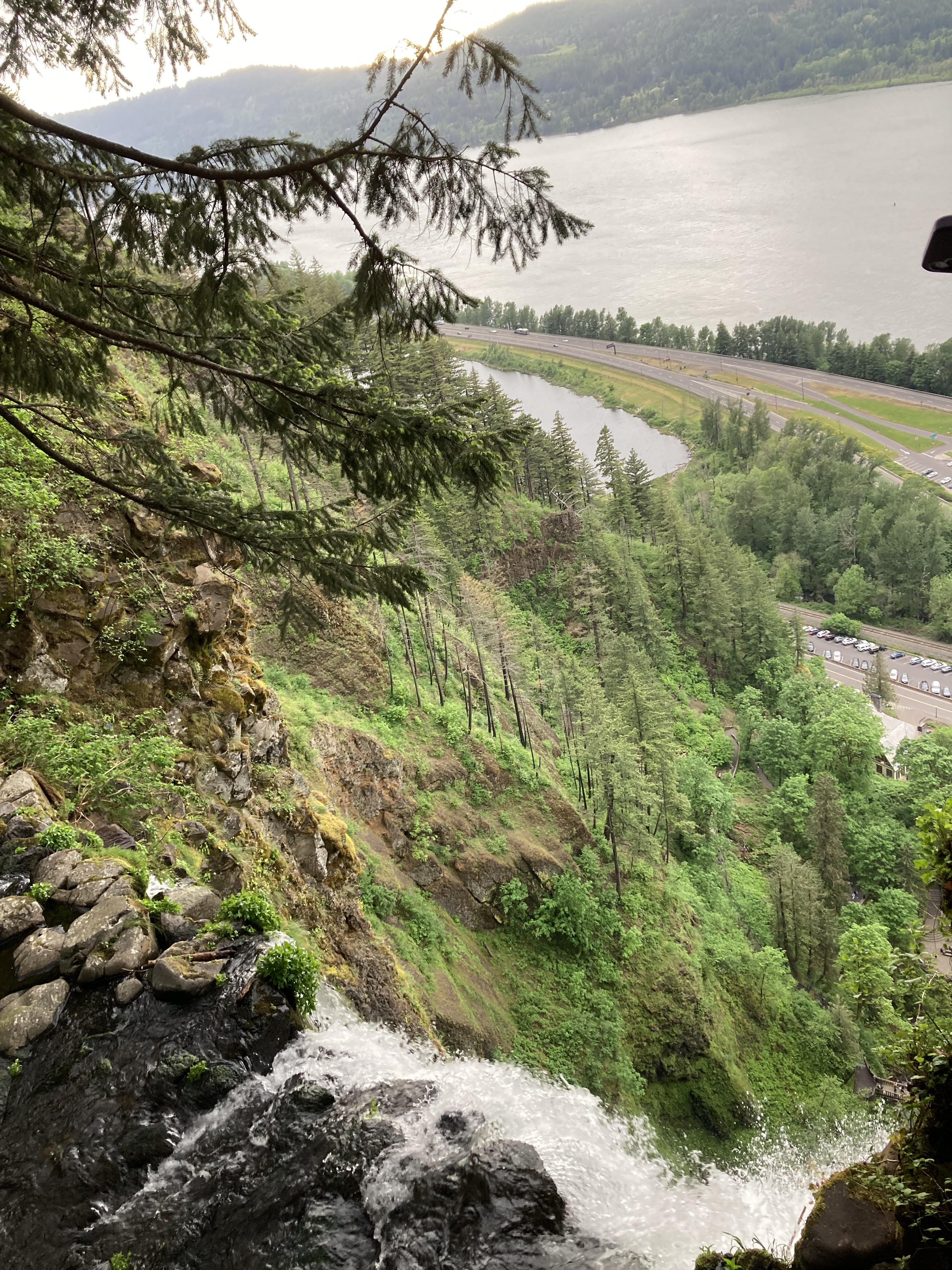
At the base of Multnomah Falls, Multnomah Falls Lodge offers a restaurant, visitor centre, gift shop, and washrooms (unlike many of the other waterfalls along the Gorge, which have no amenities).
I headed east to Horsetail Falls (176ft), which is quite close to Oneonta Gorge, a slot canyon covered in moss.
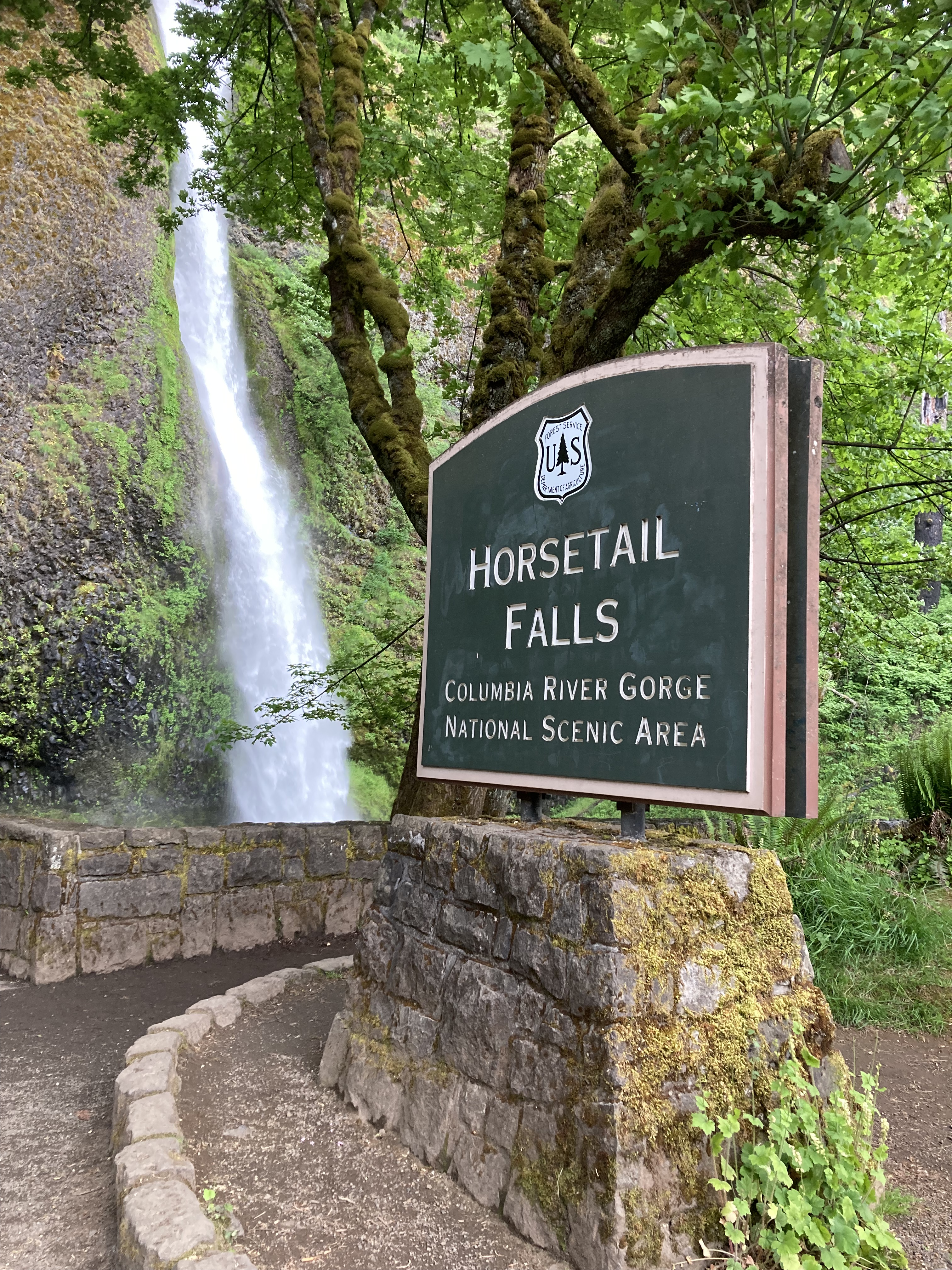
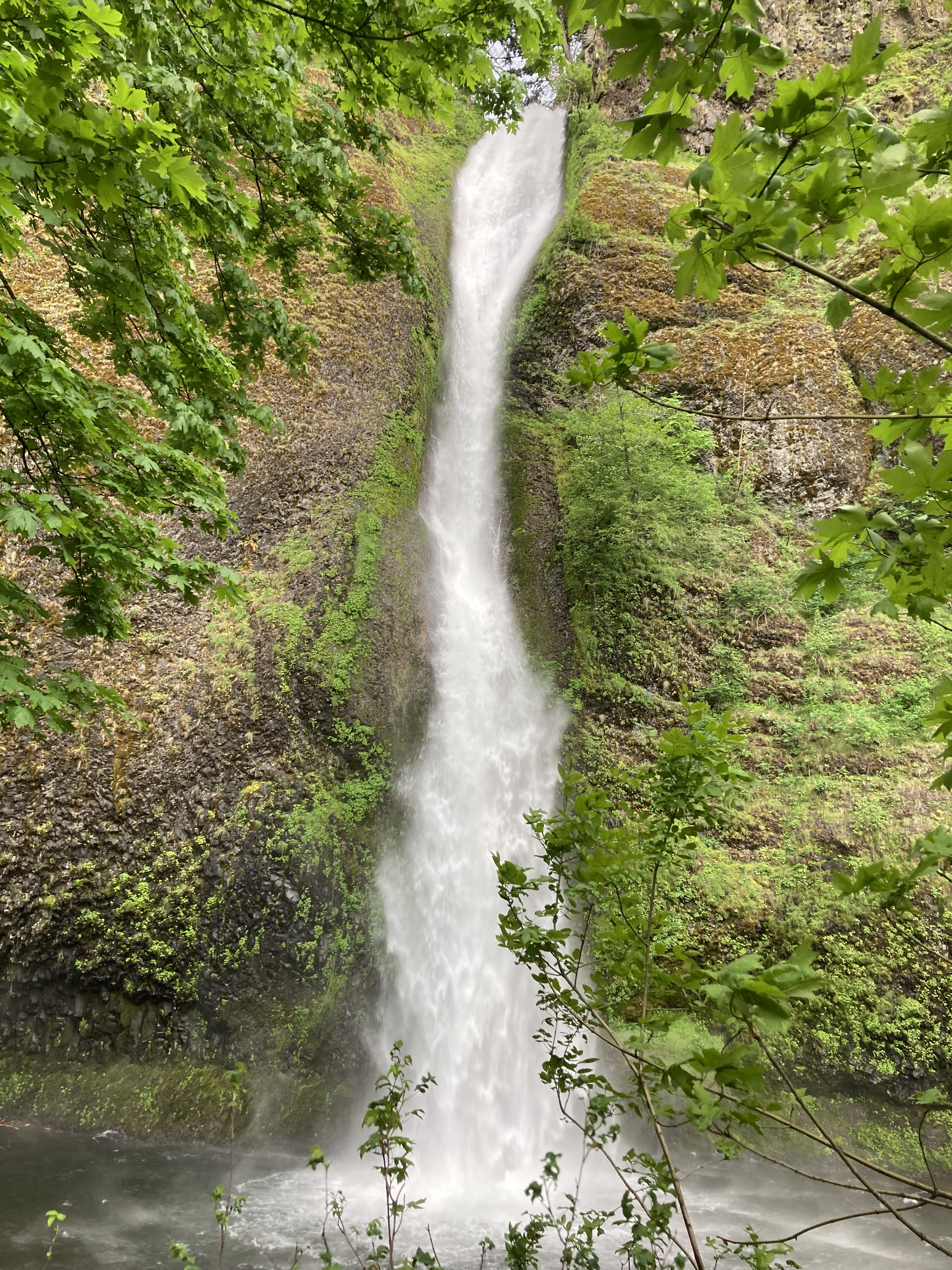
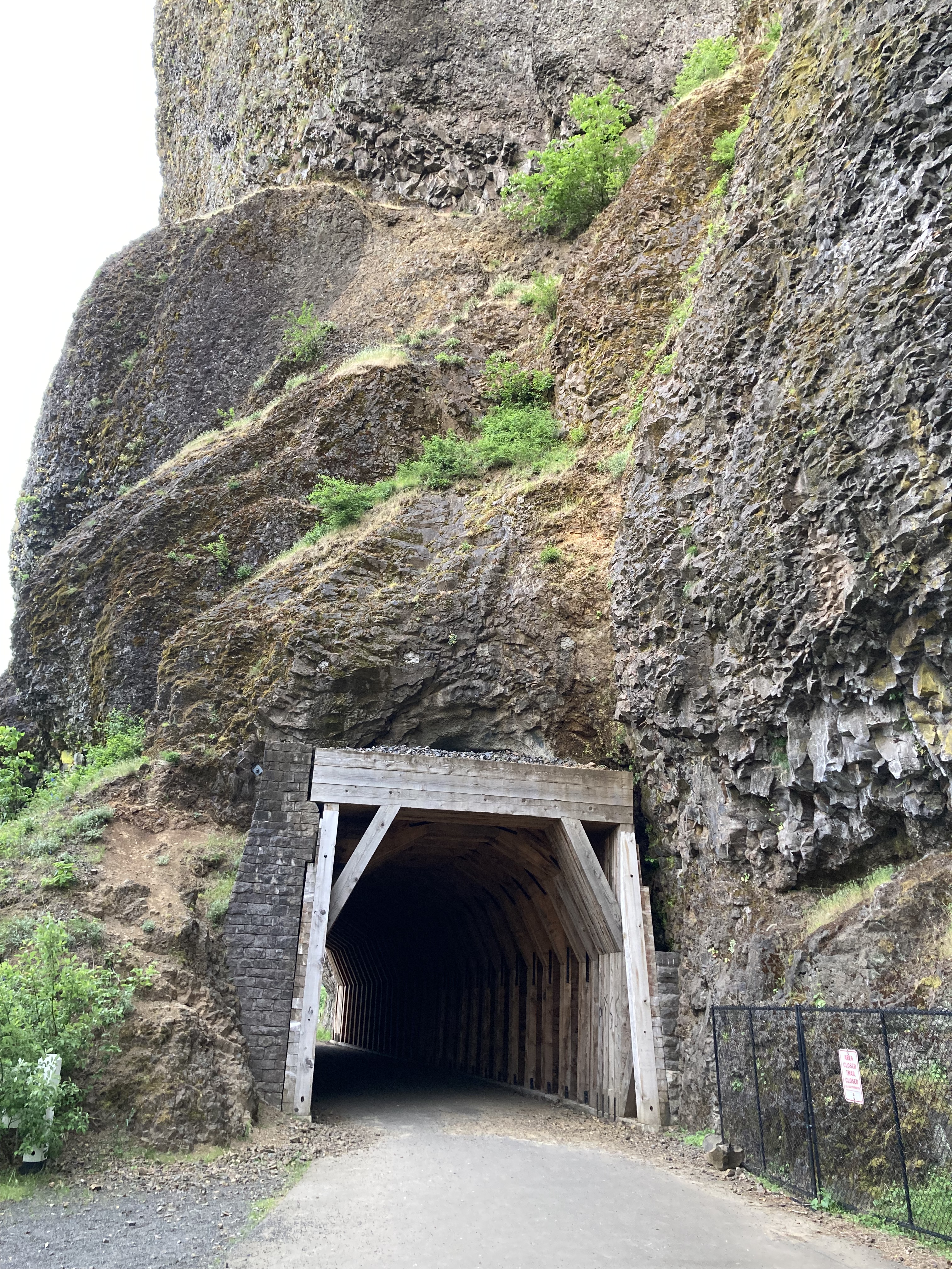
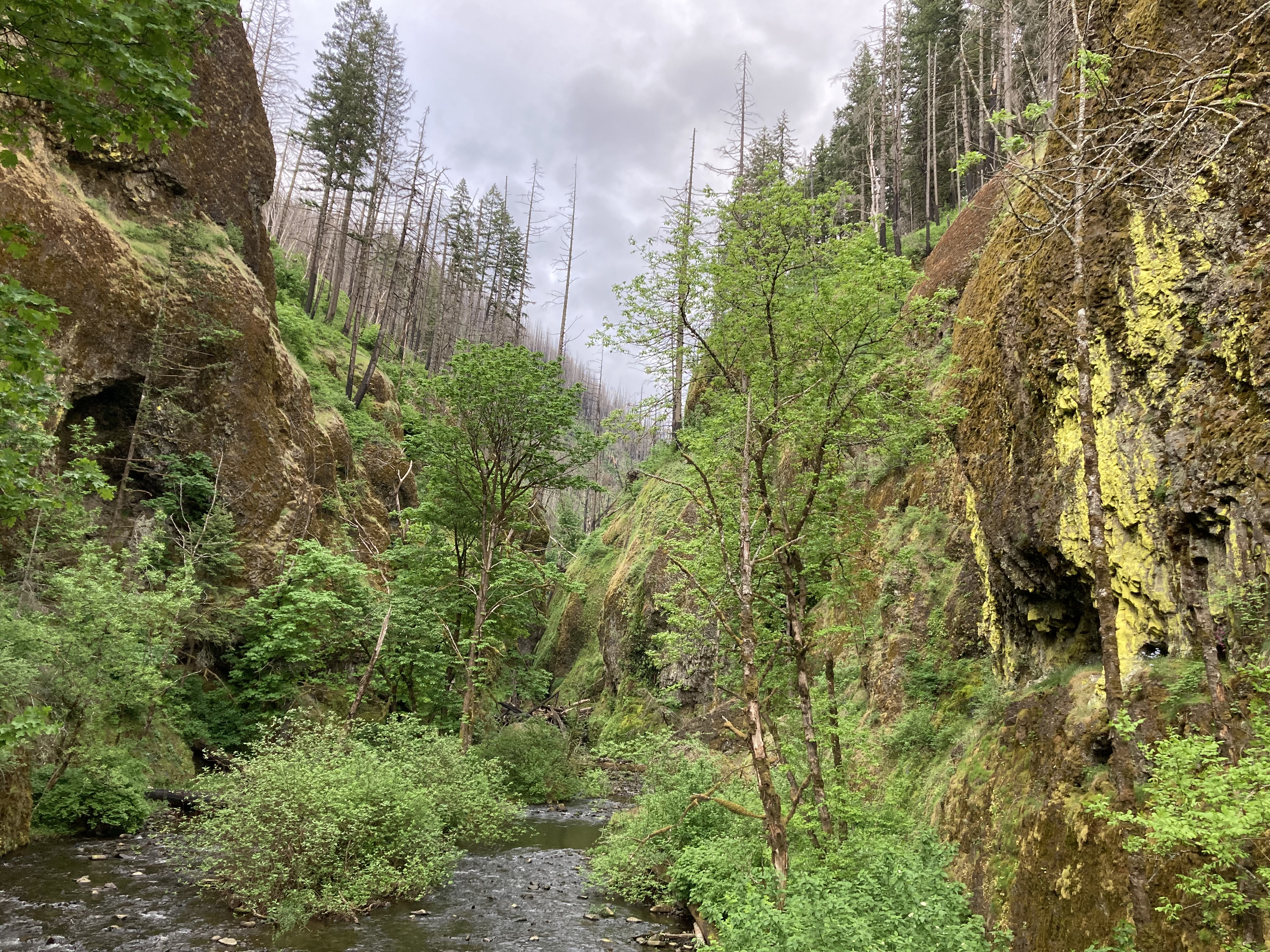
The Oneonta Gorge to Lower Oneonta Falls trail is closed due to damage from a 2017 fire, but it sounded interesting, requiring hikers to wade through the creek to get to the Lower Falls. There is however Oneonta Trail to Triple Falls hike, which you can start near the gorge or at Horsetail Falls (would be my choice) and follows Oneonta Creek with views of the Lower Falls, Middle Falls, Upper Falls and Triple Falls.
I headed back west just a smidge past Multnomah to Wahkeena Falls (242ft). This might have been my favourite waterfall area to hike around. It was quieter and just pretty.
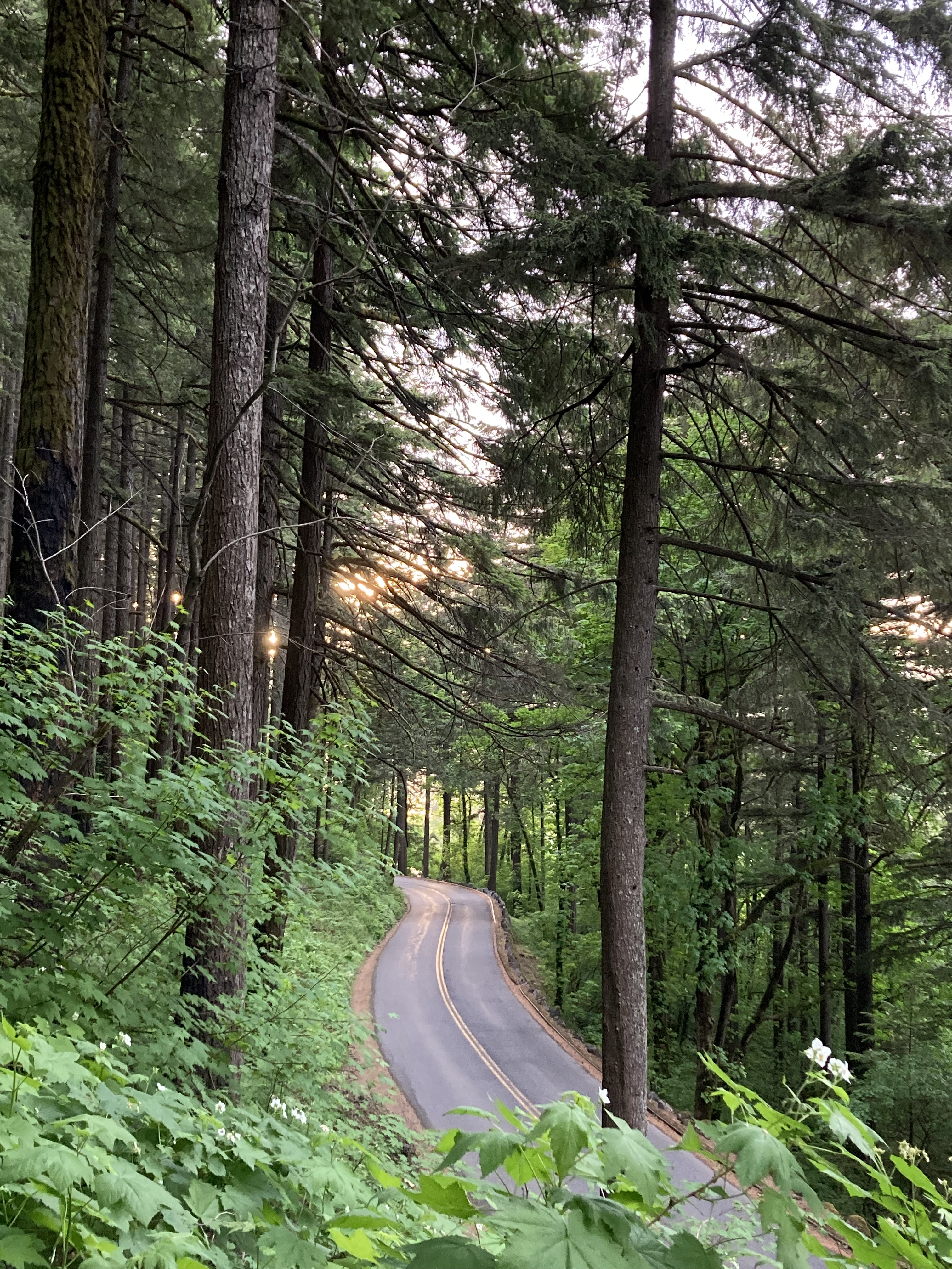
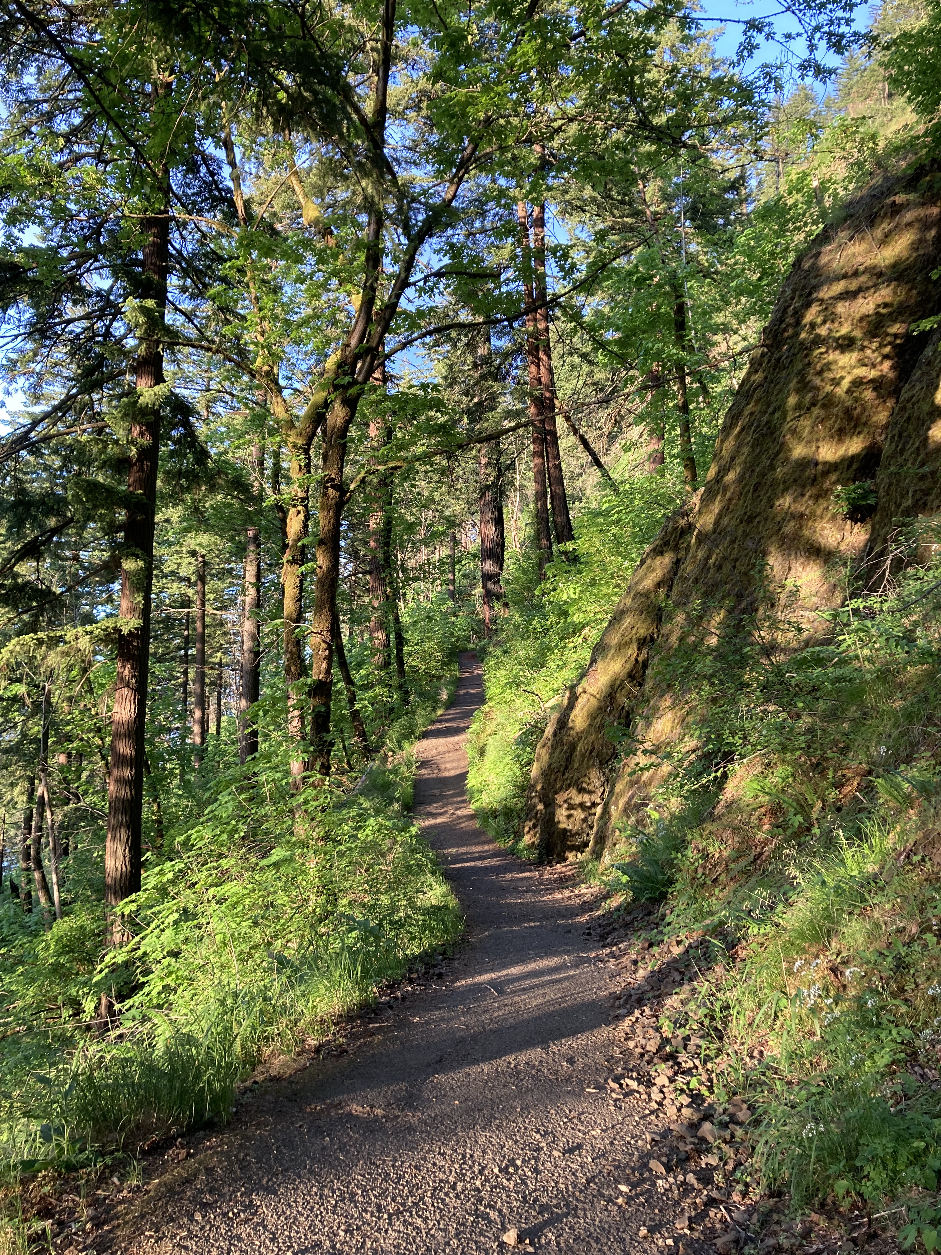
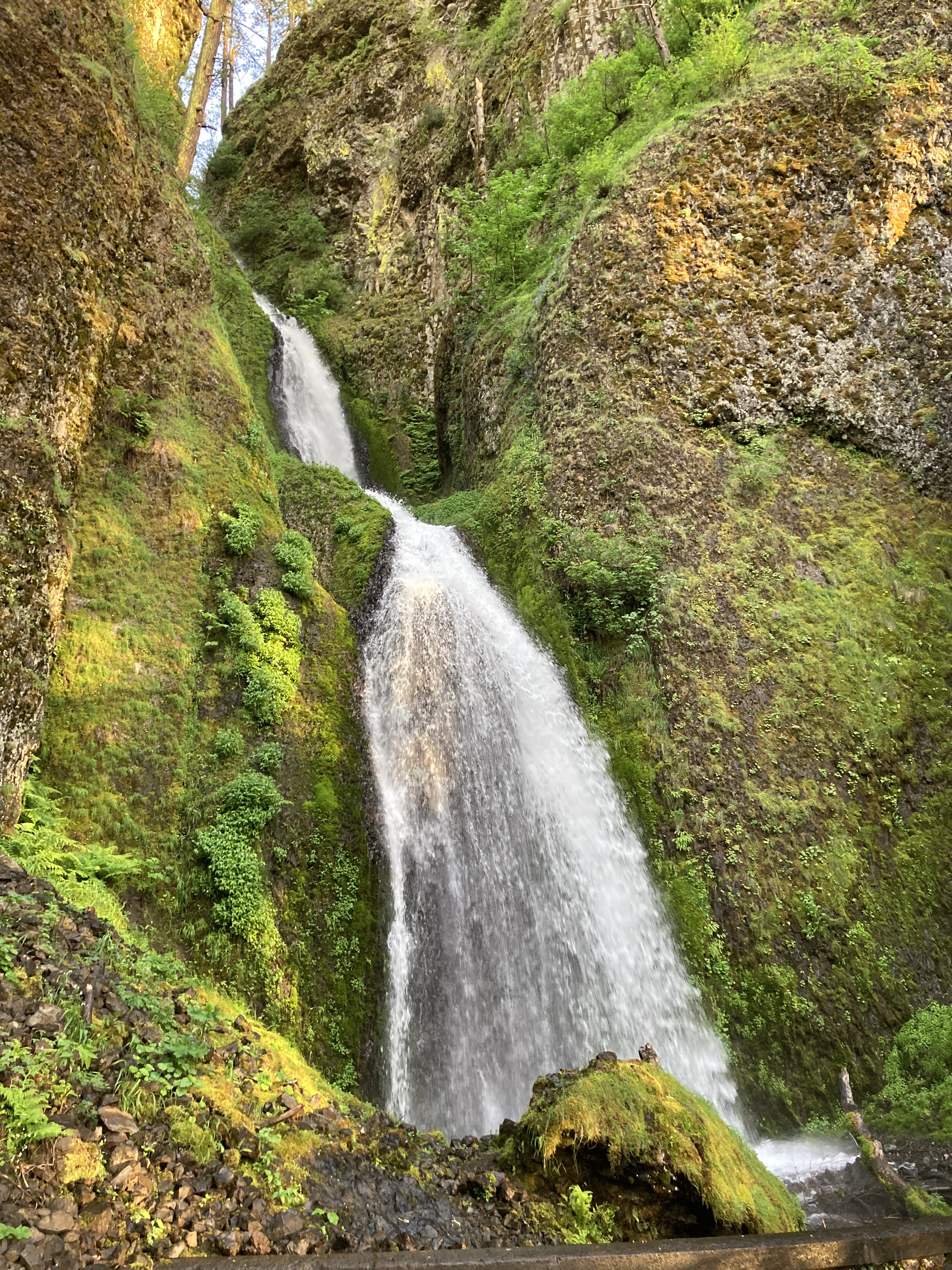
The final waterfall for the day was Bridal Veil Falls (120ft).
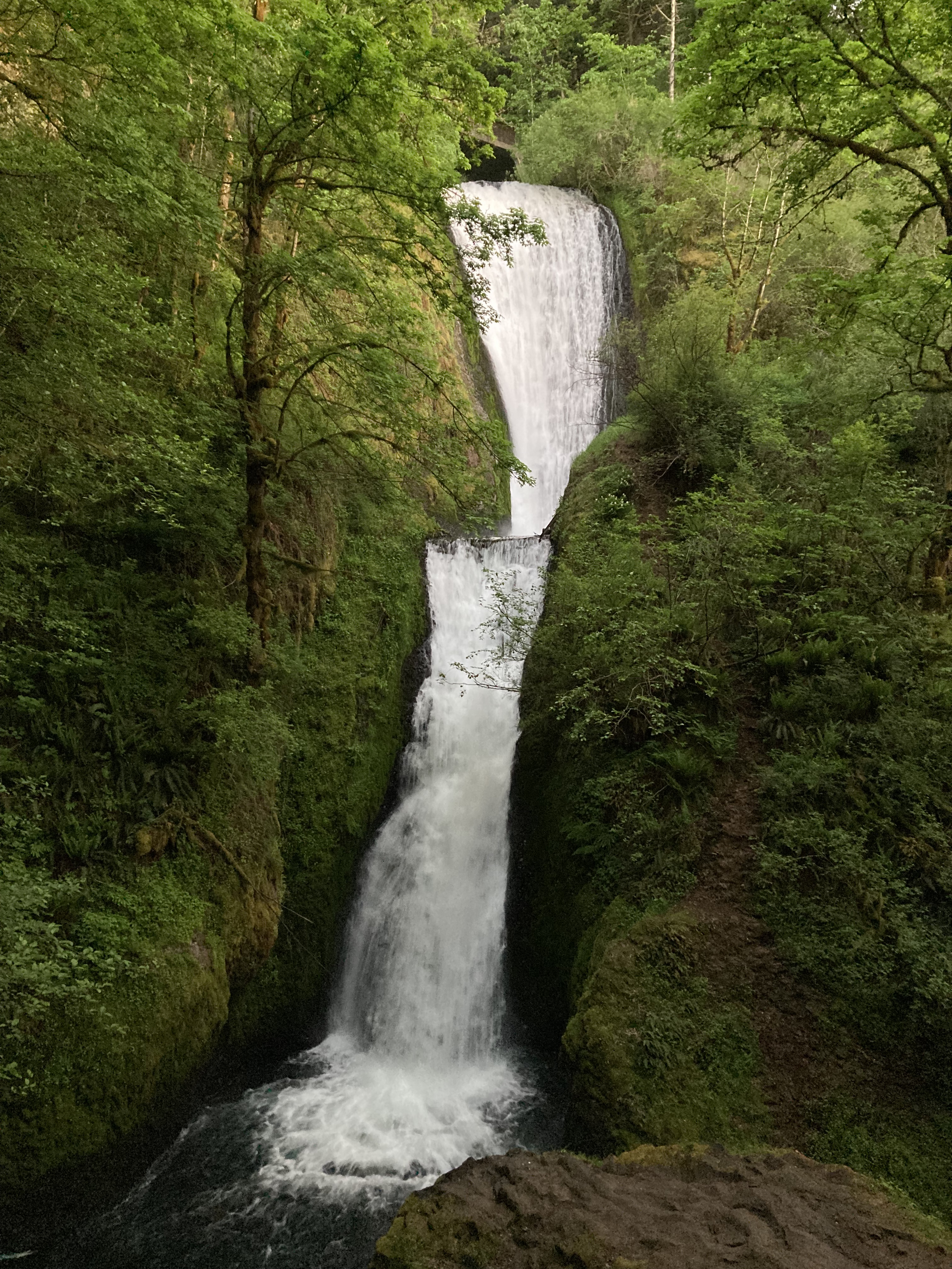
I remember looking up nearby overnight spots when I got back to the van after the hike to Bridal Veil Falls. There was a spot on iOverlander with a review that said they’d woken up at 4:30am to gunfire close by. They said it looked like two cars of local kids firing a semi down one of the roads, 40-50 rounds, and they got out of there as fast as they could. Wild. So I wasn’t going there.
I decided to chance it and park at the little Wahkeena Falls lot on the side of the Historic Columbia River Highway. It was a quiet night and people started arriving in the morning, maybe around 7-8am, to see the falls. I got away with it, even though technically I would say you’re probably not supposed to park here overnight.
I had one last waterfall to check out – Latourell Falls (224ft). It was west of Bridal Veil Falls, the furthest west of the falls that I explored.
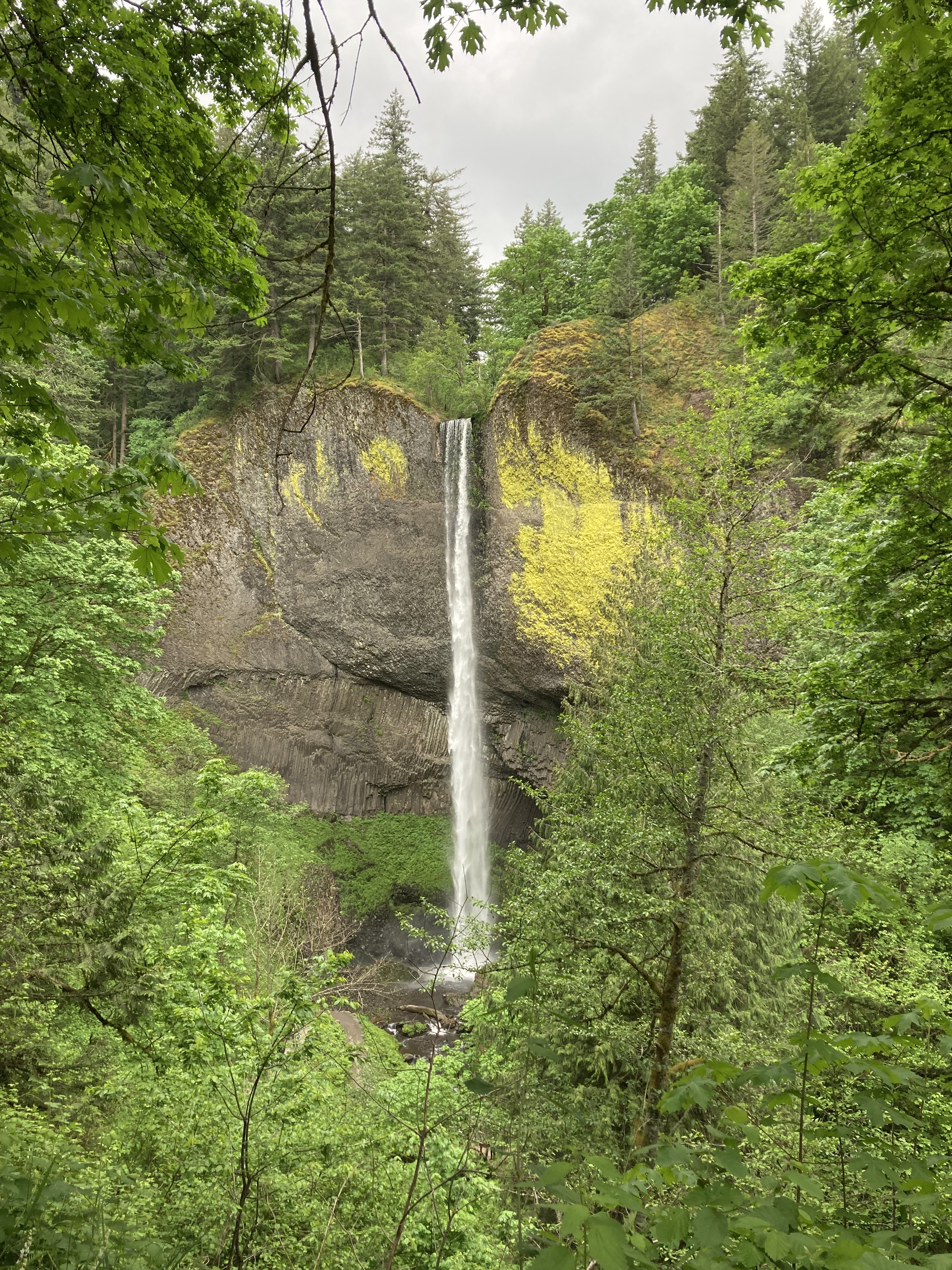
To conclude my Columbia River Gorge explorations, I wish I had stopped at Vista House at Crown Point, which is just 2.5 miles west of Latourell Falls. I wasn’t aware of it at the time. It’s a lookout over the Gorge with an amazing view, as well as a comfort station that displays the area’s history and has a gift shop and cafe. Vista House at Crown Point sits at the gateway to the Columbia River Gorge and the start of the waterfall circuit.
Fun Fact: around the Columbia River Gorge you may hear about the Oregon Trail. Not another thru hiking trail! Instead it’s an old route that ran from Missouri to Oregon that a lot of folks followed in the 1840s to settle in Oregon. Oregon Country used to include western Canada, Washington, Idaho, and part of Montana, until it became Oregon Territory in 1848 – claimed by the United States, minus the portion that is now Canada. The present Oregon borders were finalized in 1859.
I’d spent the morning planning out what I wanted to do in Portland – mapping things out, looking up areas to avoid (dangerous areas), and prioritizing the things I wanted to see. I was a bit frustrated that by the time I did my morning routine, did the research, and toured Latourell Falls – it was mid afternoon when I got on the road to Portland. But I made the most of the rest of the day. It probably would have been better to stay an extra day in Portland – I only did the afternoon and evening – but again, you can do a lot in a short period of time if you put your mind to it.
Portland
Portland – City of Roses, Beervana, Bridge City, PDX. At the northwest corner of Oregon, Portland sits at the border with Washington, with the Columbia River just north, and the Willamette River running north to south, cutting through the middle of the city. The city itself has a population of about 635,000 people, while the greater area is around 2.5 million. Mount Hood looms to the east. It’s Oregon’s largest city. And it is known for parks, bridges, breweries, coffee houses, the arts, eco-friendliness, and a “keep it weird” spirit.
The Grotto
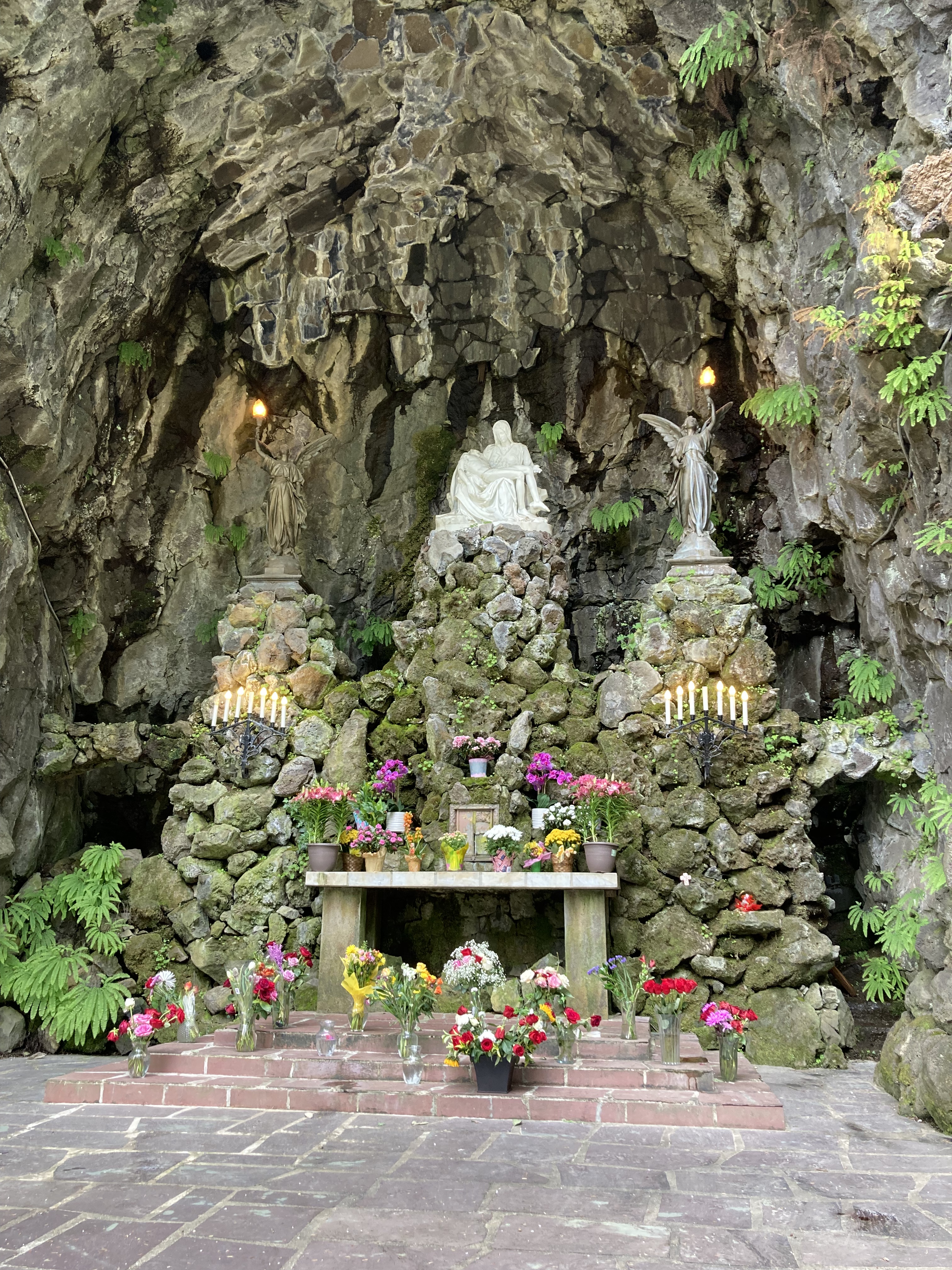
I started my explorations in the east at The Grotto. The property comprises 54 acres, gardens, shrines (including one Lithuanian and one Polish – part of my ancestry), a meditation chapel, monastery, statues, labyrinth, and of course a gift shop. The most striking feature is the Mother Mary shrine set in a cave. The Grotto is described as a place for peace, prayer, and natural beauty, welcoming to all.
Pittock Mansion
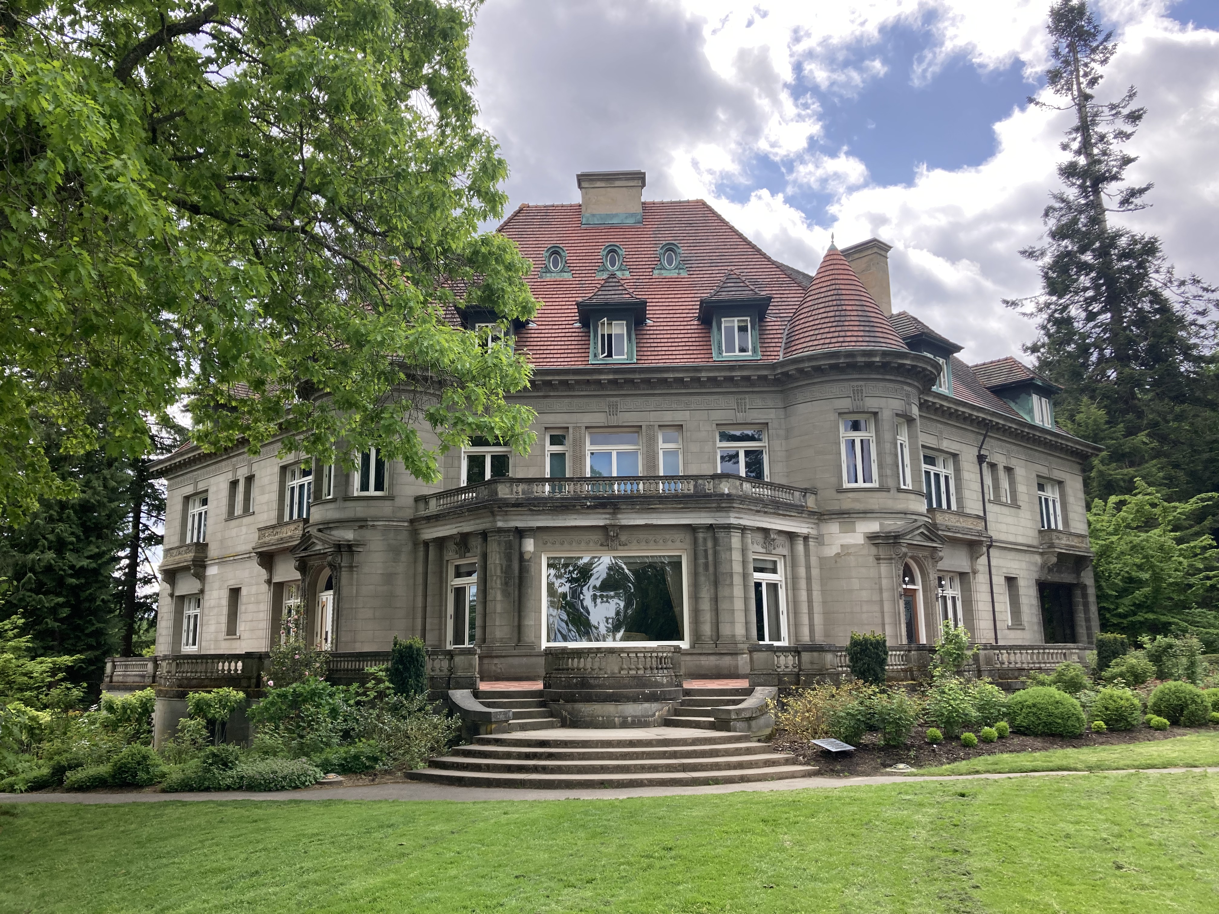
Next stop was Pittock Mansion. Located in the west (north of Washington Park, south of Forest Park), I drove across the city, across Willamette River, and up into the West Hills. Pittock Mansion is a French Renaissance-style château built in 1914 by Henry Pittock, an entrepreneur, publisher, and investor.
Visiting mansions and old-homes-of-the-wealthy-turned-museums is something I tend to gravitate towards. And what I’ve noticed is that these homes often tell the story of a city’s becoming or evolution. The residents were often trendsetters in terms of industry, society, and style. We should take this part of history with a grain of salt, as certain things may be glossed over and the wealthy do not depict the full picture – far from it (one really should view historical narrative through a critical lens as it is often biased). But we can learn something of a city’s origin, and the bones it was built on (double entendre intended). Architecture and style speak to values of the time. The ways that these people amassed their fortunes often tie into the prominent industries in the area.
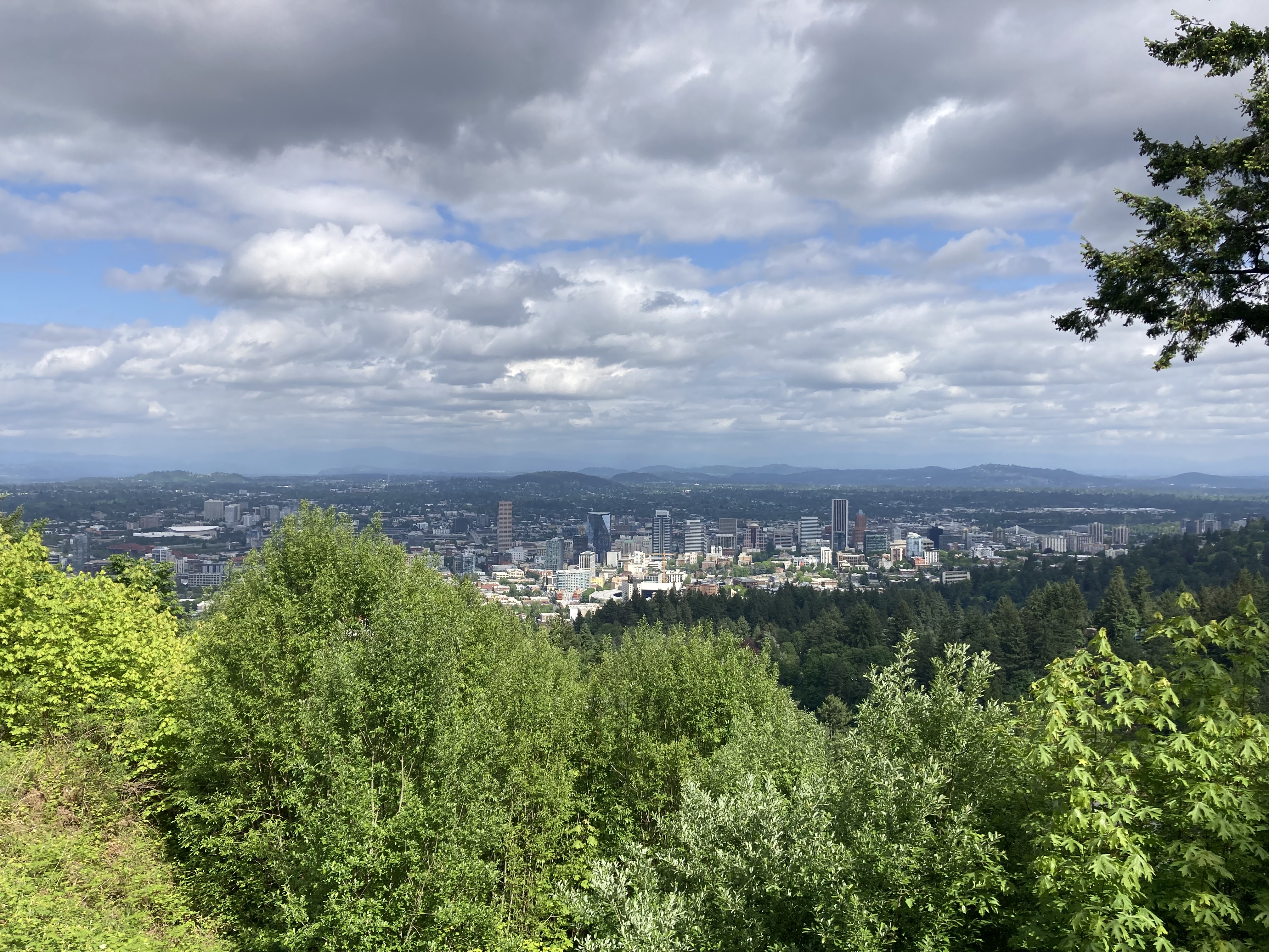
I got to Pittock Mansion too late to take a tour of the interior, but I walked around the grounds. At the edge of the property is a panoramic view over the Portland skyline, and on a clear day you can see Mount Hood in the background.
Had I more time, I would have liked to hike to the Witch’s Castle (or Stone House), not far from Pittock Mansion, located a little northwest in Forest Park (a two mile hike from the mansion, or a half mile from the designated trailhead).
I would definitely come back here. It would probably be a very good autumn outing, as I always wonder if such mansions are haunted, and from the sounds of it the Witch’s Castle and woods may be! Plus I’d love to see inside the mansion.
Washington Park & The International Rose Test Garden
Washington Park is described as the crown jewel of Portland. It is 410 acres of green space, with trails, tennis courts, an archery range, the International Rose Test Garden, the Portland Japanese Garden, Hoyt Arboretum, the Oregon Zoo, World Forestry Discovery Museum, memorials and statues.
For me, if you’re going to explore the City of Roses, it makes sense to visit a rose garden. I found a gift shop called the Rose Garden Store near the gardens and picked up some souvenirs. They had rose themed everything, from hand cream to cordials.
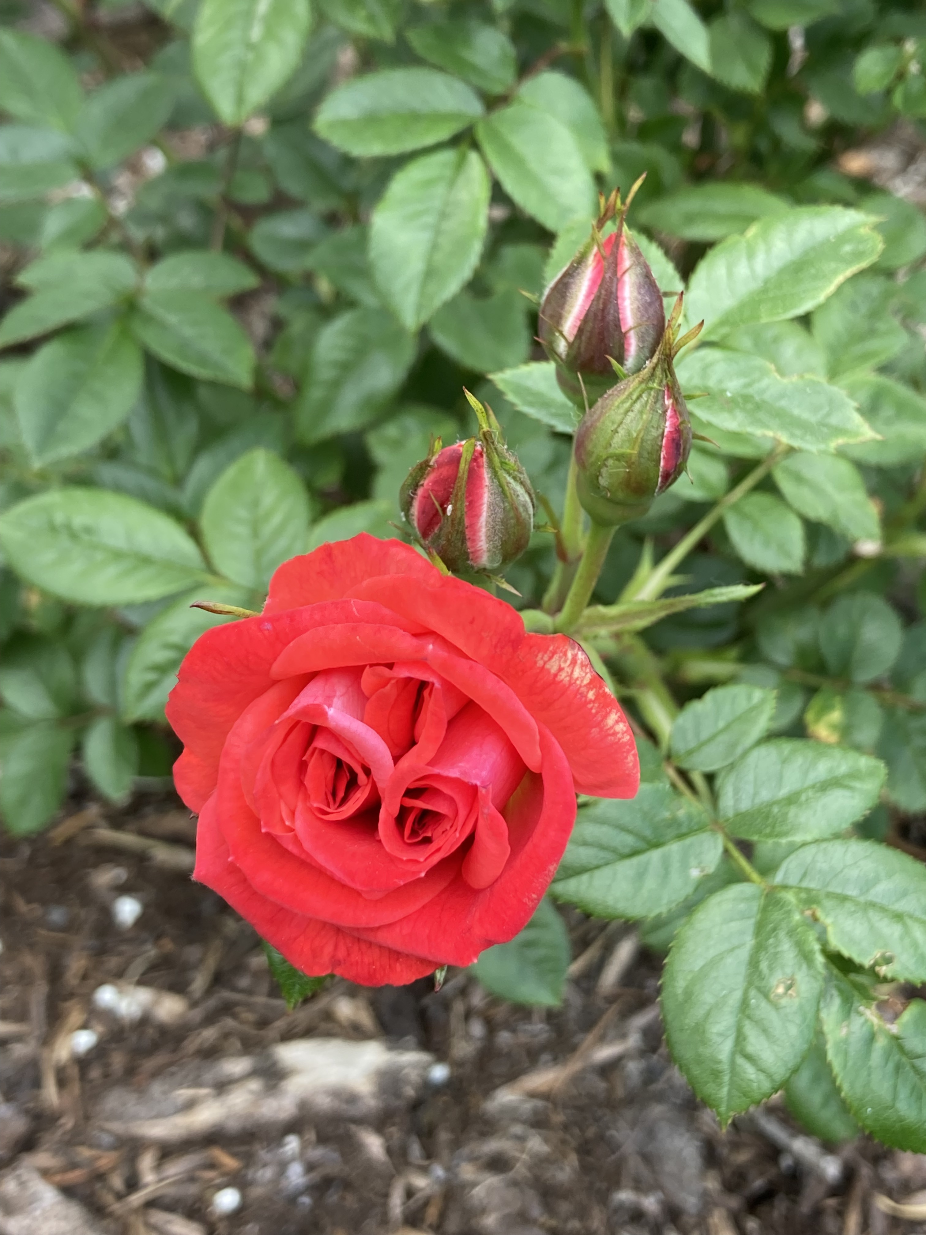
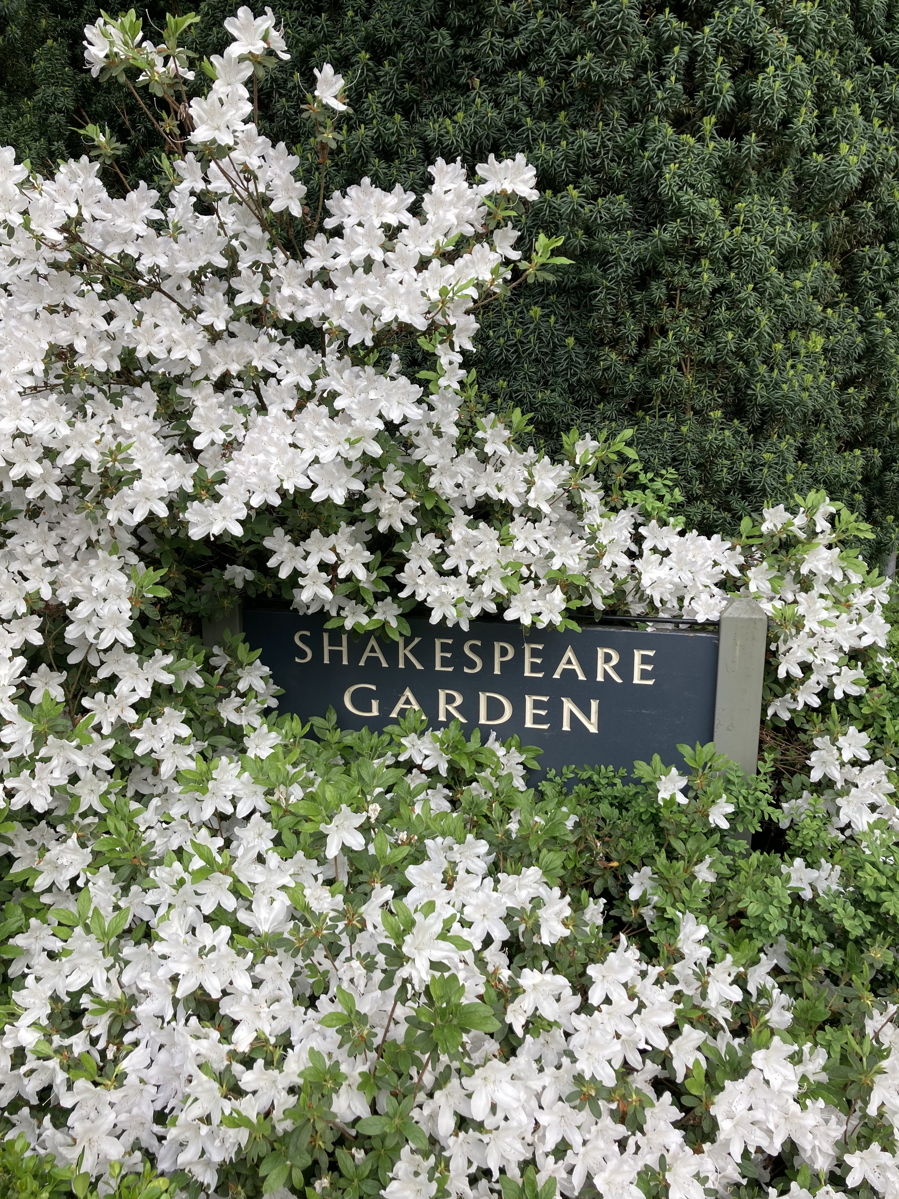
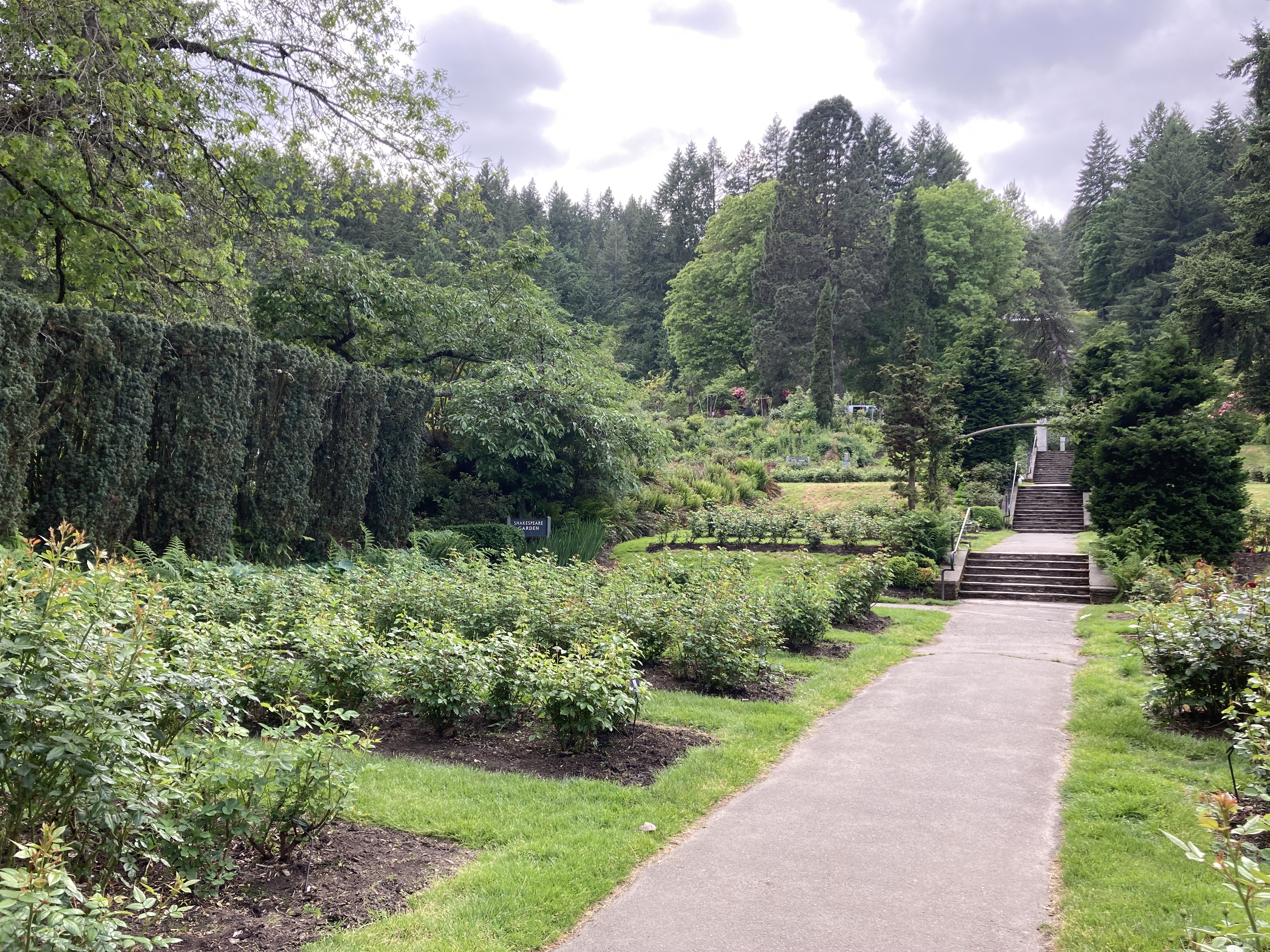
The International Rose Test Garden continues to serve as a testing ground for new varieties of roses, but has roots that can be traced back to the late 1880s and Georgiana Burton Pittock, who hosted a rose show in her own garden and then established the Portland Rose Society in 1889. In 1917 the rose test garden was established. Today it has over 10,000 rose bushes and over 600 varieties of roses. It was a peaceful place to roam, and I enjoyed details like the Peachy Keen rose variety and the Shakespeare Garden.
Downtown
Leaving Washington Park, I was burning daylight, so I set a route in Maps that would take me by various landmarks throughout Portland – so I could at least do a drive by viewing, stopping at just a couple of places to quickly walk around.
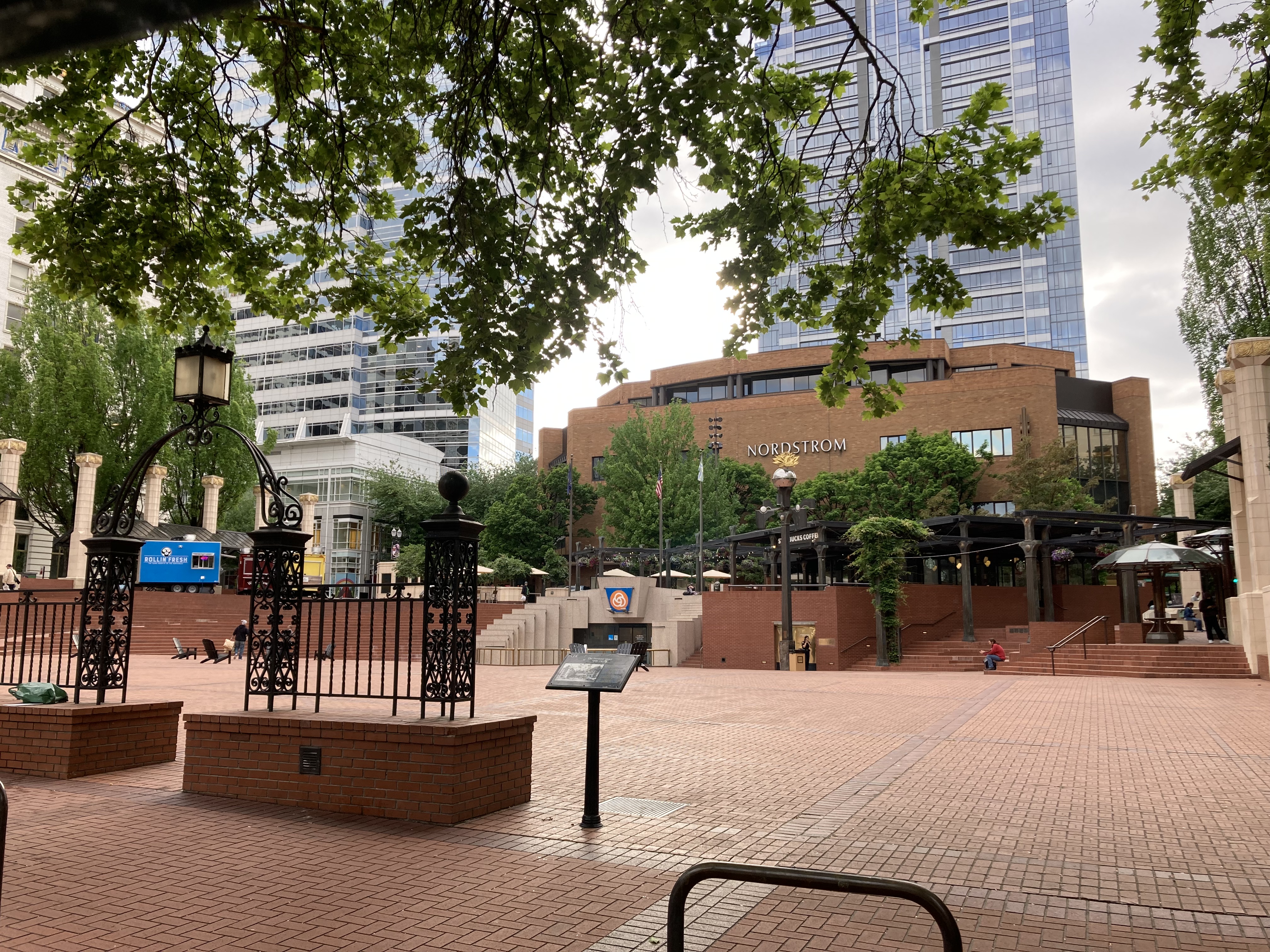
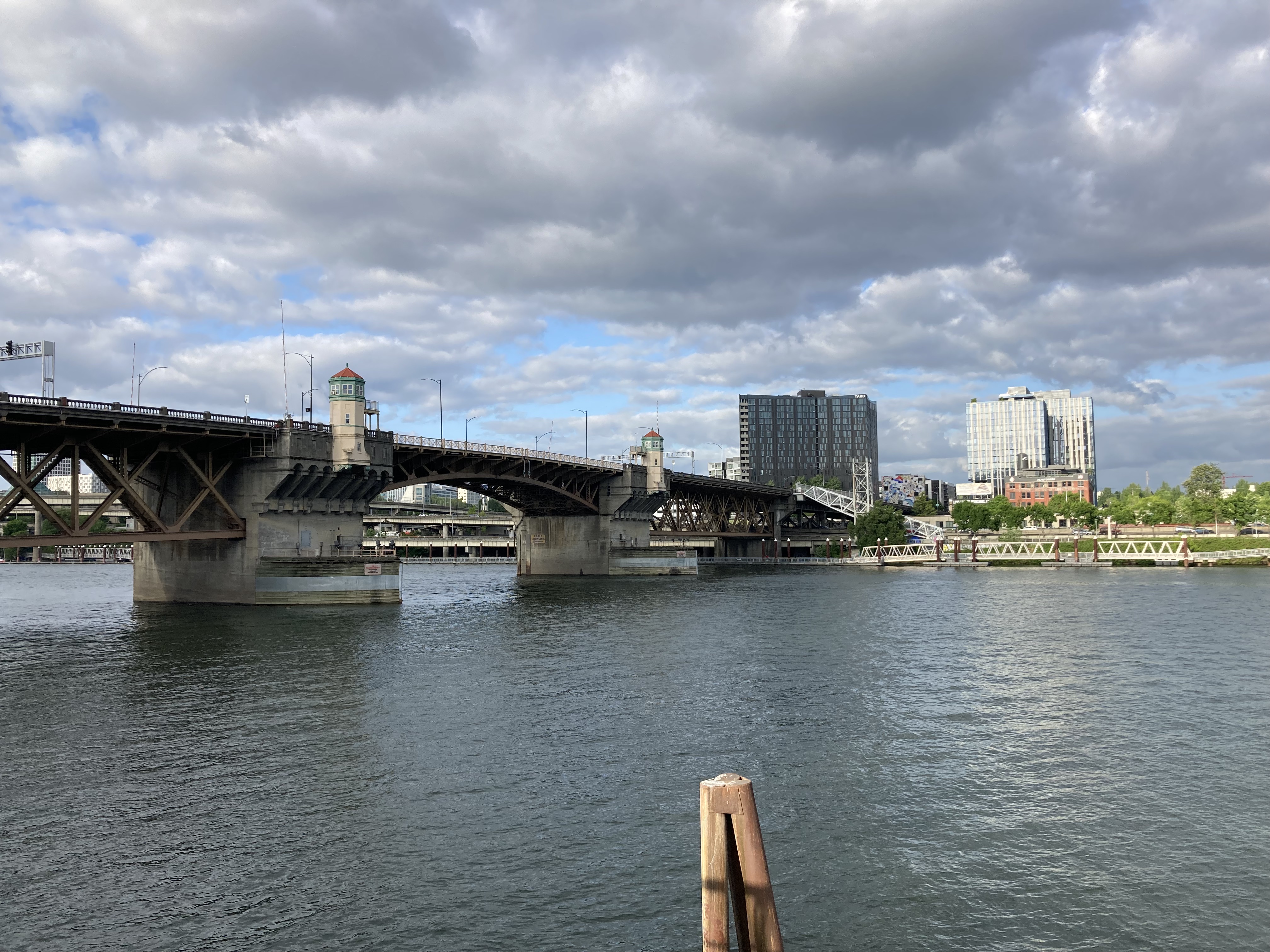
I drove past Breakside Brewery (because I am a beer nerd), then Pioneer Courthouse Square (central downtown, “Portland’s living room”, an informal gathering place that holds community events). The drive from here took me past the South Park Blocks – which was such a pretty area that I decided to park and walk around. It’s twelve blocks of green space that offers a calming natural area in the middle of the city and hosts art and markets. The Portland Art Museum, Oregon Historical Society, and Portland State University are in the area. My next drive by was Powell’s City of Books – the world’s largest independent book store, occupying a whole city block. Then Voodoo Doughnut (the first location was established in 2003 in Old Town and the shop was featured on Anthony Bourdain‘s No Reservations). Finally, to the waterfront to see the White Stag Sign, an icon of the city (some call it Portland’s postcard). This spot is located at Governor Tom McCall Waterfront Park, near several bridges on the Willamette River, including Burnside Bridge. I will say that it felt slightly sketchy here – which makes sense as it is part of the Old Town neighbourhood, which has a reputation as one of the more dangerous areas in the city.
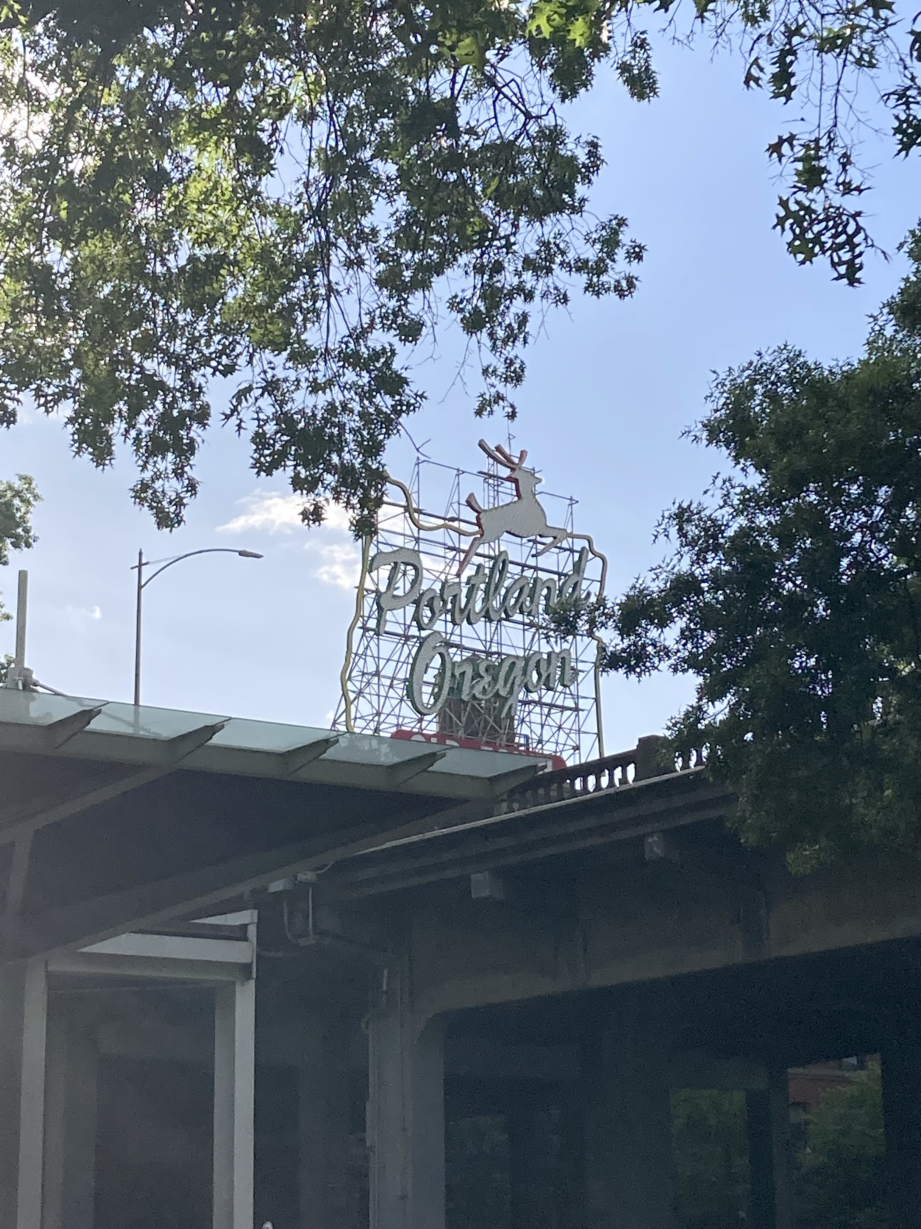
After this van tour of downtown Portland, it was time to end the day with a couple of breweries. I headed back east over the Willamette, excited to slow my roll and take a break from all the running around.
Beervana
Portland carries the informal nickname of “Beervana”. This is due to its large concentration of craft breweries (over 80), use of local ingredients, historical legacy, and ingrained culture. Oregon is home to hop fields, yeast labs, and a USDA research centre where hop strains like Cascades and Willamette were bred. The Oregon Brewers Festival (which seems to no longer be running) helped launch craft beer popularity in the ’80s, and local breweries became well established in the ’80s and ’90s in Portland – whereas elsewhere craft beer only started to boom in the 2000s and 2010s.
Fun Fact: In September there are “fresh hop beers” in Oregon. Usually around late September and early October beer is made with fresh hops rather than dried hops, creating a unique seasonal offering. Apparently these beer do not age well or travel – so it’s a fleeting seasonal treat that you have to be in Oregon to experience! The components and flavour profiles of hops, as in other herbs, are more vibrant when fresh. There are even fresh hops festivals.
Beervana is also the name of a longstanding beer blog from the region. They have a blog where they list their rankings of the best current breweries in Portland – though 2023 may be the most recent. Among the rankings are (asterisks are for those that peak my interest):
- *Von Ebert (plenty of lagers and pilsners, IPAs, and even a beer called Corporate Goth – a Czech Dark Lager; NE Portland/ multiple locations).
- *Level Beer (large variety of styles, including rice and Mexican lagers, maibock, pales, bitters, barleywine, pilsner, amber ale, festbier, witbier, schwarzbier, stout; east Portland/ several locations).
- *Steeplejack (IPAs & various experimentals; east Portland/several locations/Broadway location in an early 1900s church).
- *Threshold (some Polish styles, IPAs, experimentals; east Portland).
- *Zoiglhaus (focus on German styles using imported german ingredients; SE Portland).
- *Rosenstadt (“Portland’s German Beer”; east Portland).
- *Wayfinder (lager-centric with unique offerings and other styles; east-central Portland).
- Upright (barrel-aged, cask ales, lagers; since closed).
- Baerlic (IPAs, lagers, pilsners; east Portland/ multiple locations).
- Little Beast (cozy craftsman home setting, variety of beer including various lager styles, IPAs, sours, and wild ales aka spontaneous fermentation; east Portland).
- Culmination (IPAs and experimentals ; since closed).
- Breakside (pale ale heavy; NW downtown and NE Portland locations).
- Great Notion (pales and sours; NE Portland).
- Ruse (IPA heavy; SE Portland).
The Beervana Blog list was pretty similar to the Untappd list I’d consulted while I was in Portland deciding which breweries to prioritize.
My first stop was Baerlic.
Fun fact: Baerlic is pronounced bear-lick and is Old English for “of barley”.
The area felt safe, the space was big and open. There wasn’t an extensive number of beers that spoke to me, the tap list consisted of lots of IPAs and several ciders. A few pilsners as well, which aren’t my top style, but I’ll take it over a pale ale. That said, I had the Oat Soda (Bohemian pilsner), Eastside (oatmeal pilsner), Dad Beer (“pre-prohibition” lager), Cavalier (cream ale), and Pancake House (Imperial Stout with notes of cocoa, maple, and coffee). The Oat Soda was my favourite. I remember it being a chill place with chill music and enjoying the visit. I picked up a pack of the Dad Beer so I could cheers to my Dad.
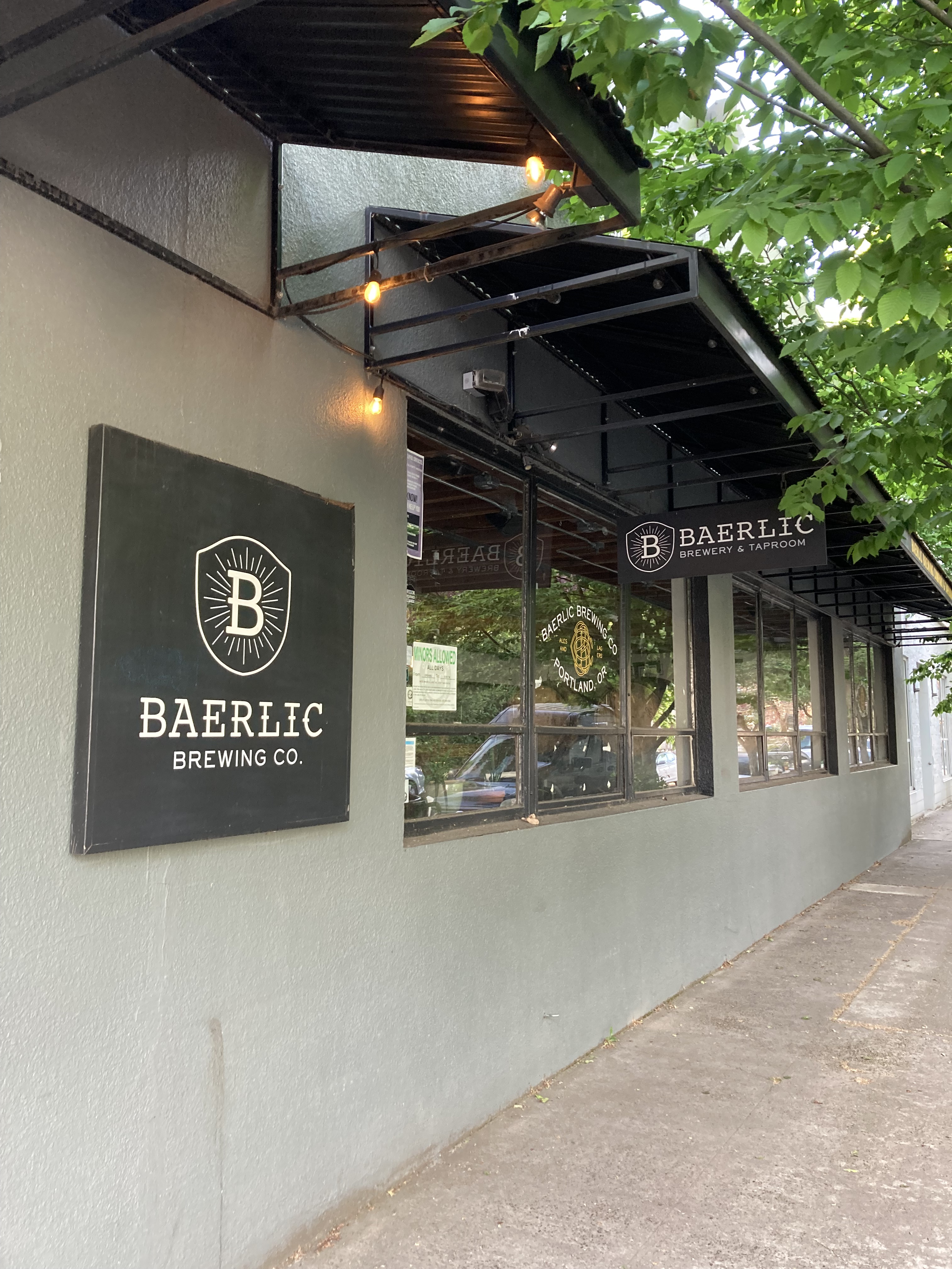
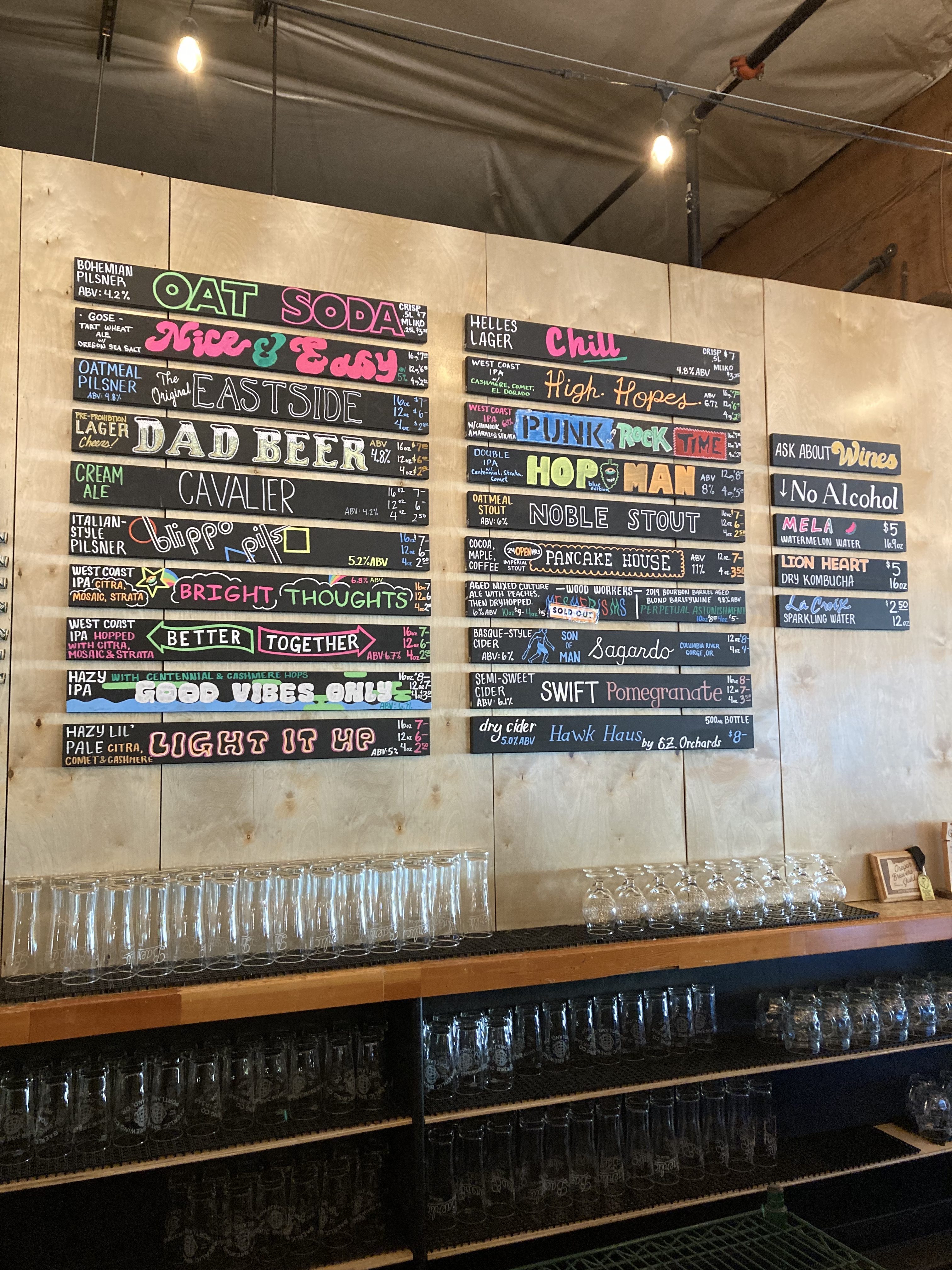
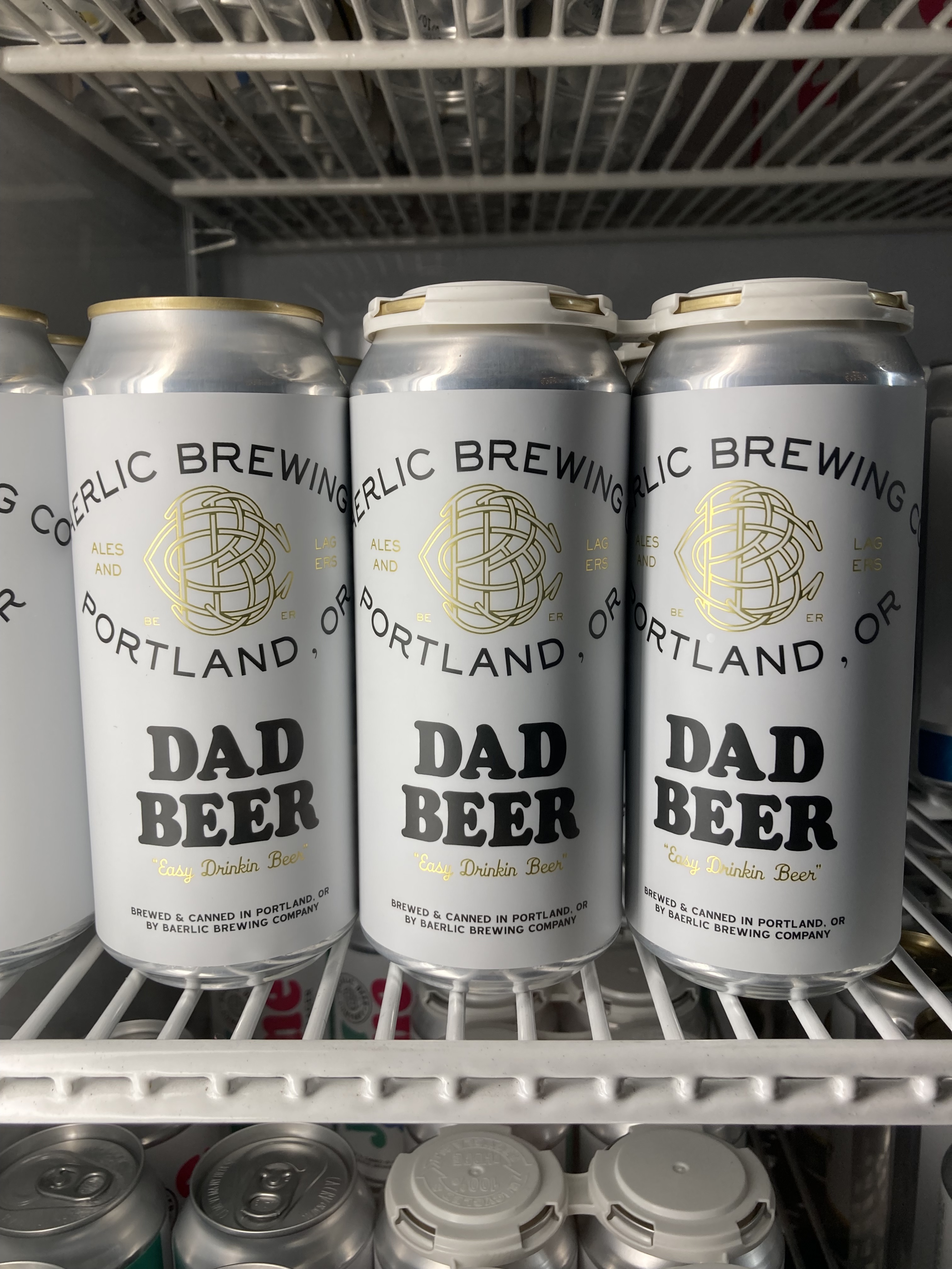
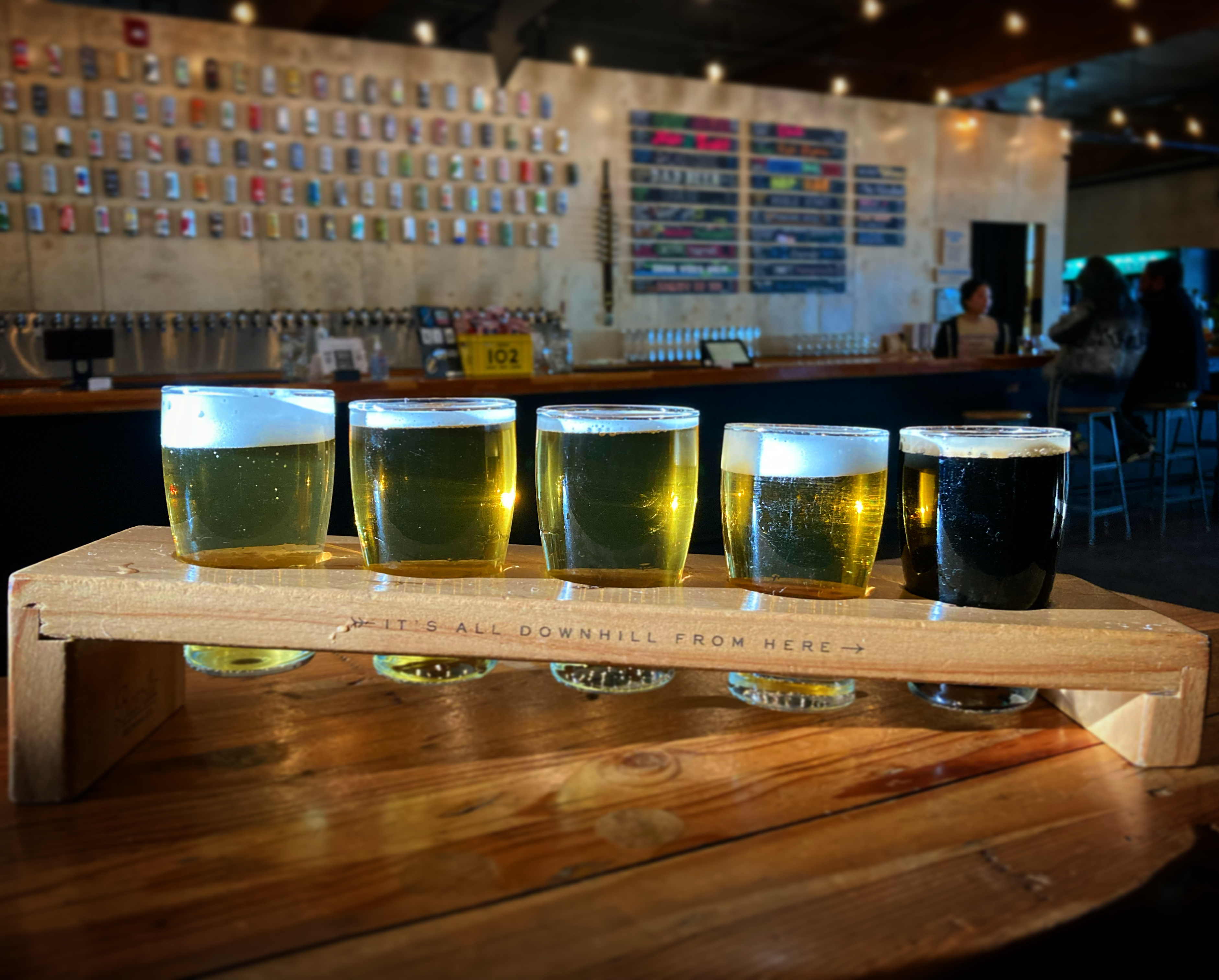
Then I headed to Upright. I don’t think this was the main location, as it was quite small. So they didn’t have some of the styles I’d seen when I looked them up, and they didn’t have cans to take with me. They’ve unfortunately since closed. But I made due and I remember quite enjoying their wares. I sampled a couple and got a glass of the Offen Weisse (wheat) – which was very good. I grabbed a bottle of Special Herbs (barrel-aged botanical saison) to take with me.
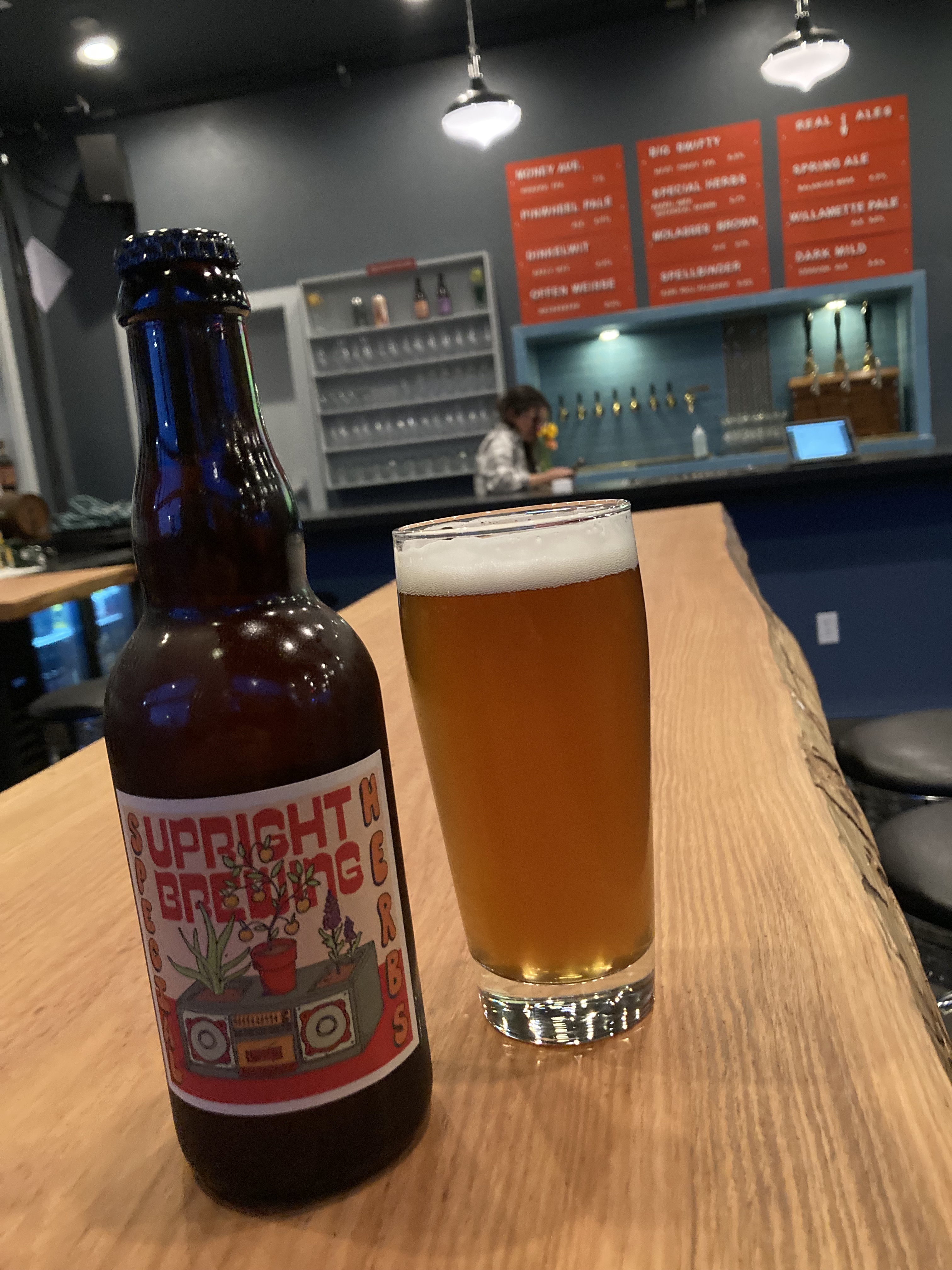
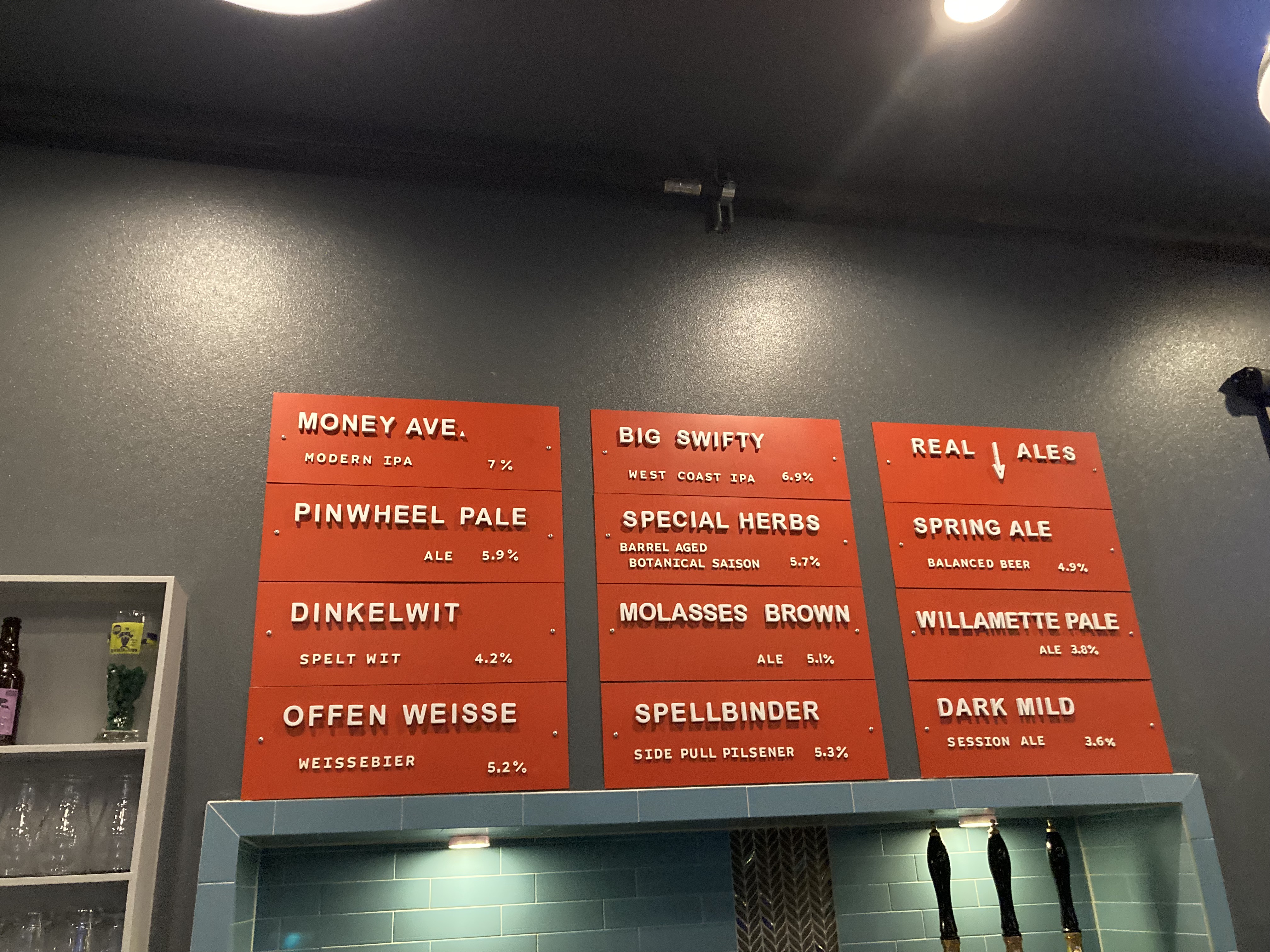
That night I drove north for about an hour on the I-5 to a rest area near Castle Rock, WA. Officially concluding my time in Oregon, and beginning my time in Washington. It felt like coming full circle. It was a long time coming – Seattle here I come.
Safety
Portland was smaller than I expected, and while some of the articles I read made me feel a foreboding, being there in person felt different. As in – you could read an article on safety and feel like Portland was going to be a scary place. But maybe after being in San Francisco and Los Angeles it wasn’t so daunting to me. There certainly were areas that felt sketchy. But there were also areas that felt super friendly, pretty, and safe. It’s just all about being prepared, being in the know, and being vigilant.
The crime rates for Portland (per 1,000) were 7.49 violent and 58.9 property when I checked – pretty on par with other major cities, in a range where I am inclined to play it safe.
At the time of my visit I found out that all Walmarts in Portland were permanently closing due to rampant theft. It was wild to me that theft had gotten so bad that Walmarts were closing their doors.
Side note: I had also previously looked up Walmarts as overnight options in the area and it seemed like none of them allowed it. This is a screenshot I had from the AllStays app:
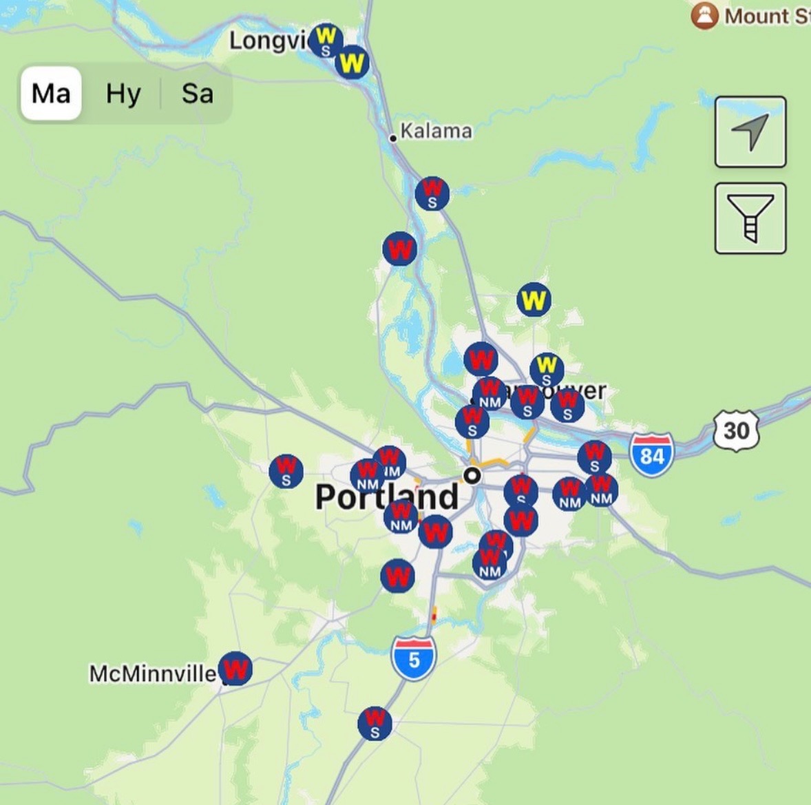
Even the Walmarts in yellow, when I called them, said they no longer allowed overnight parking.
I remember reading that retail workers had protocols that advised them to not intervene if someone was stealing merchandise – because confronting them could make the situation more dangerous as it could escalate to violence.
And Portland has a high homeless population – just something to be aware of.
Seeing people out and about, I felt like it was more okay than the article I read made me think. I planned ahead and kept aware of what neighbourhoods I was in, but I didn’t let impressions stop me from enjoying the place.
Some tips that I kept in mind:
- Car theft: especially of concern if parking overnight as most car thefts occur between 6pm and 12am; many car thieves have emergency window breaking hammers; park near security cameras; car theft includes the car, belongings inside, car parts; don’t leave anything visible in your parked car.
- Do not intervene with shoplifting.
- Walk with purpose, don’t linger.
- Remain alert and aware.
- Avoid walking alone at night.
- Know neighbourhoods that are considered more dangerous.
Most Dangerous Neighbourhoods In Portland
- Old Town/Chinatown (DT) – assault, shootings; heart of downtown on the west banks of the Willamette River.
- Hazelwood (E) – esp. near the Gateway Transit Center; car theft.
- West Burnside (DT) – extends west from the waterfront, near the White Stag Sign, Powell Books is on this street; most unsafe in the Old Town area and close to the river.
- Centennial – east near Powell Butte.
- Lents (SE) – (car theft).
- Powellhurst (E).
- Mill Park (E).
- Sunderland (NE) – near the Columbia River and airport.
- Lloyd District – opposite Old Town on the eastern side of the Willamette River.
- St. Johns (N) – east of the St. Johns Bridge.
- Parkrose (NE) – just east of The Grotto.
- Bridgeton (N) – along the Columbia River.
- Kenton (N) – near the Columbia River.
Altogether it seems like most of the areas considered less safe are concentrated around the Old Town downtown area, a corridor of east Portland, and pockets of north Portland.
Some of the Safest Neighbourhoods:
- Alameda (NE).
- Eastmoreland (SE).
- Southwest Hills – just south of Washington Park; residential sub-areas like Healy Heights with very low crime.
- Northwest District – including Nob Hill/Pearl District/Slabtown near downtown – though these are adjacent and just north of Old Town and have some opportunistic property theft.
The above information is largely what I noted while I was travelling through Portland and some information may have changed. It is also not exhaustive.
Next Time
If I ever do get back to Portland, I would want to take my time. Actually tour the inside of the Pittock Mansion, get to more breweries, and discover more niche local spots. But here are some places I made note of that I didn’t get to:
- *The St. Johns Bridge (NW) – considered Portland’s most iconic bridge, with gothic style spires. It’s a steel suspension bridge that crosses the Willamette River from Forest Park in north Portland. One of many bridges in “Bridgetown”, and Portland’s northernmost.
- Forest Park – 5200 acres on the eastern slopes of the Tualatin Mountains, overlooking the Willamette River in northwest Portland, extending toward the Columbia River. It’s one of the biggest urban forests in the US, with over 80 miles of trails.
- More Breweries! Fresh hop beers!
- *Nob Hill – A neighbourhood known for Victorian houses, tree lined streets, trendy shopping on 23rd Ave., coffee shops, and the Freakybuttrue Peculiarium (oddities museum). Just northwest of downtown/Old Town and to the west of Pearl District. Named after the luxury district in San Francisco.
- Pearl District – An upscale shopping district adjacent to Old Town (S) and Nob Hill (W). It’s got Powell’s City of Books, REI, breweries, coffee shops, warehouse restaurants, art galleries, boutiques.
- Old Town/Chinatown (in the day).
- *Voodoo Doughnut.
- **Old Portland Underground, also known as the “Shanghai Tunnels” – a network that runs beneath Old Town Chinatown and speaks to late 19th century Portland. Tales of illegal opium and prohibition-era alcohol, as well as kidnapping victims onto ships and essentially into slavery. Legends are debated. Tours are offered so you can decide for yourself. There’s the Haunted Shanghai Tunnel Tour, which starts at Old Town Pizza & Brewing, formerly the 1880 Merchant Hotel, said to be one of the most haunted places in Portland (and you get a beer tasting at the end!).
- Haunted Places – some places people repeatedly name online include the Shanghai Tunnels, Pittock Mansion, Lone Fir Cemetery, White Eagle Saloon, Edgefield, Kennedy School, Yamhill Pub, Rimsky-Korsakoffee House, Benson Hotel, Bagdad Theatre, Roseland Theatre, and more.
- Portland Saturday Market (Tom McCall Waterfront Park / Old Town).
- Portland Rose Festival.
- Portland Aerial Tram – from the south waterfront, gives panoramic views of the city and on a clear day Mount Hood and Mount St. Helens.
- Hollywood Theatre (NE).
- Mt. Tabor Park (SE) – a park on an extinct volcano / cinder cone.
- McMenamins – While I didn’t know about McMenamins while in Portland, I would soon visit one in Olympia, WA, due to its historical connection to Kurt Cobain. It turns out, these establishments (which are many, and littered across Oregon and Washington) have a rich and varied history rooted in beer and preservation. The McMenamin brothers started with running a pub in 1983 and in 1985 lobbied and got the “Brewpub Bill” passed, allowing small brewers to sell their own beer on site. The brothers got into restoring old buildings, like hotels, theatres, and concert venues, and employing artists and preservationists along the way. The end result has been a plethora of atmospheric establishments. Generally pubs or entertainments venues. I’ve heard the drinks and food are mediocre, but that they shine when it comes to venue – at least some, like Edgefield (old country poor farm, now with winery, distillery, brewery, hotel, pool hall, spa, concert venue, and more), Kennedy School (classrooms as hotel rooms and a Boiler Room Bar), and Bagdad (movie theatre).
Other Information
Hiking
Oregon is a prime hiking destination, from the Oregon Coast Trail to the PCT, from ocean to mountains to high desert and so many waterfalls.
I would love to hop on the PCT at Mount Hood and Crater Lake.
All Trails has a list of suggested Oregon hikes.
And Travel Oregon has some PCT section suggestions.
Mountain Roads
While I was travelling through the Cascades in the spring, I was curious about what restrictions were placed on vehicles in the winter on these roads, compared to Alberta or BC. I had been able to travel through the Canadian Rockies legally with All Season tires in late fall. But Oregon is more strict and requires either chains, studded tires, or “tractions tires” (having the three-peak mountain with snowflake symbol on the sidewall). Studded tires can damage roads and are only legal from November 1 to March 31. In very bad winter conditions all cars may be required to use chains and should carry chains. Otherwise, passenger vehicles may use tires with the mountain symbol. From what I can tell these tire laws only apply to certain roads in certain conditions. Since my All Season tires do not have the mountain symbol (they have M+S for mud and snow) – they would not cut it on certain roads in winter in Oregon.
To check road conditions in Oregon you can visit the Oregon Department of Transportation (ODOT) TripCheck tool.
To park at Sno Parks you may need a permit between November 1 and April 30.
I think in general it’s always important to consider the seasons and weather when travelling. In Oregon, winter is often a great time for viewing big, powerful ocean waves. Forest fires should be considered in the summer. In mountain areas avalanches should be considered (often winter and spring). In California I learned about winter flooding and landslides.
Random Facts
One of the things that sticks out in my memory of Oregon is the lack of self-serve at gas stations. It still feels weird to me that gas stations have attendants and you hand them your method of payment and tell them what you want, you stay in your vehicle and they pump the gas for you. I know full service gas pumps are a thing, but I’ve always pumped my own gas and it just feels odd to me. Given, every attendant I chatted with was quite nice.
Fun Fact: This isn’t specific to Oregon, but since we’re talking about gas, I picked up a trick on the road. Some gas stations would ask me to enter my ZIP code. Since I don’t have one, my first inclination was to enter a local ZIP code. That never worked for some reason. But what you can do is use the three numbers in your postal code and add two zeros at the end. For example, if your Canadian postal code is L3T 3M1 – then you would enter 33100. A gas station employee told me this years ago, and I’ve always kept it in the back of my mind for the odd time I needed it. It’s worked!
Gas was also way cheaper in Oregon than it was in California. A mechanic in California mentioned how everything gets more expensive the further south you go, and he was right. I remember gas being about $5USD a gallon in SoCal (give or take, often saw lower prices at Arco), whereas in Oregon it was down to $3.76 a gallon. Converting to litres and then to CAD that’s about $1.85 and $1.39 CAD/L respectively. I believe when I got back to Canada – Calgary, where gas is often cheaper – the price for gas was somewhere in the $1.34 – $1.44 range. This was all regular gas.
I’ve mentioned it before, but Oregon has no sales tax which is a nice treat.
And while California had an 8 hour limit for rest area stays, in Oregon the limit is 12 hours.
Next Time In Oregon
I’ve already mentioned a bunch of places I didn’t get to in the above sections, but here are some stragglers:
- Klamath Falls (high desert town in south-central Oregon) via Volcanic Legacy Scenic Byway to Crater Lake (maybe).
- Steens Mountain Wilderness & Kiger Gorge – southeast Oregon, remote.
- *Timber Gulch & Leslie Gulch – a remote area in eastern Oregon, a huge stunning canyon with rock cliffs, spires, and hoodoos in the “Oregon Outback”. Driving through means unpaved road, it’s public land in the Owyhee Canyonlands and very remote.
- Toketee Falls (northwest of Crater Lake, Route 138).
- Salt Creek Falls, Willamette National Forest, a little north of Toketee Falls.
- The Wallowas, or Wallowa Mountains, in the northeast corner of the state.
- *Hells Canyon – just east of the Wallowas on the border with Idaho, the deepest river gorge in North America – deeper than Arizona’s Grand Canyon!
You can also reference the 7 Wonders of Oregon:
- Crater Lake – the deepest lake in the US, in a collapsed volcano.
- Mount Hood – Oregon’s tallest peak.
- Columbia River Gorge – an 80 mile river canyon that runs east to west on the border between Oregon and Washington, cutting through the Cascade Mountains, and featuring a corridor of waterfalls.
- Oregon Coast – 363 miles of coastline, featuring the Oregon Coast Trail, the winding Highway 101, beaches, dunes, rocky cliffs, and seaside towns.
- Smith Rock – desert landscape with rock spires, popular for rock climbing and hiking.
- Painted Hills – geologic site with fossil beds and hills with multi-coloured layers of clay and soil.
- The Wallowas – known as the “Alps of Oregon”, a mountain range in the northeast of the state.
I would say that I’ve seen 4.5 of the wonders – I need to see the Wallowa Mountains, the Painted Hills, and more of the coast. But there seems to be a lot that is not part of the 7 wonders that also looks breathtaking.
The End
That’s a wrap on Oregon!
Next up: Washington (Seattle!!!!).
ChronicXRoads on Instagram
Copyright © 2026 Chronic X-Roads. All Rights Reserved.
 Chronic X-Roads